




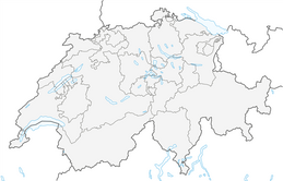


The Swiss Path
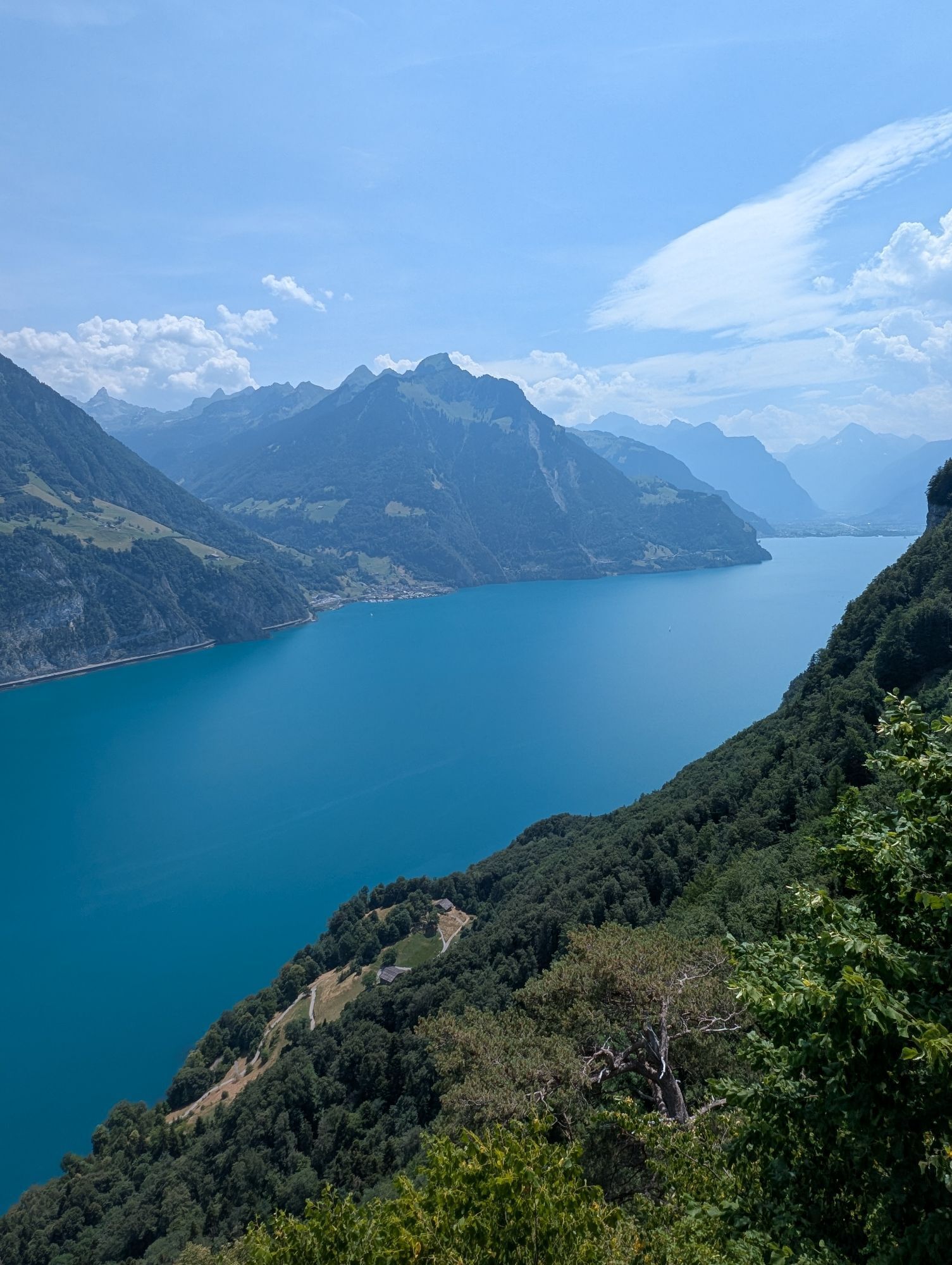
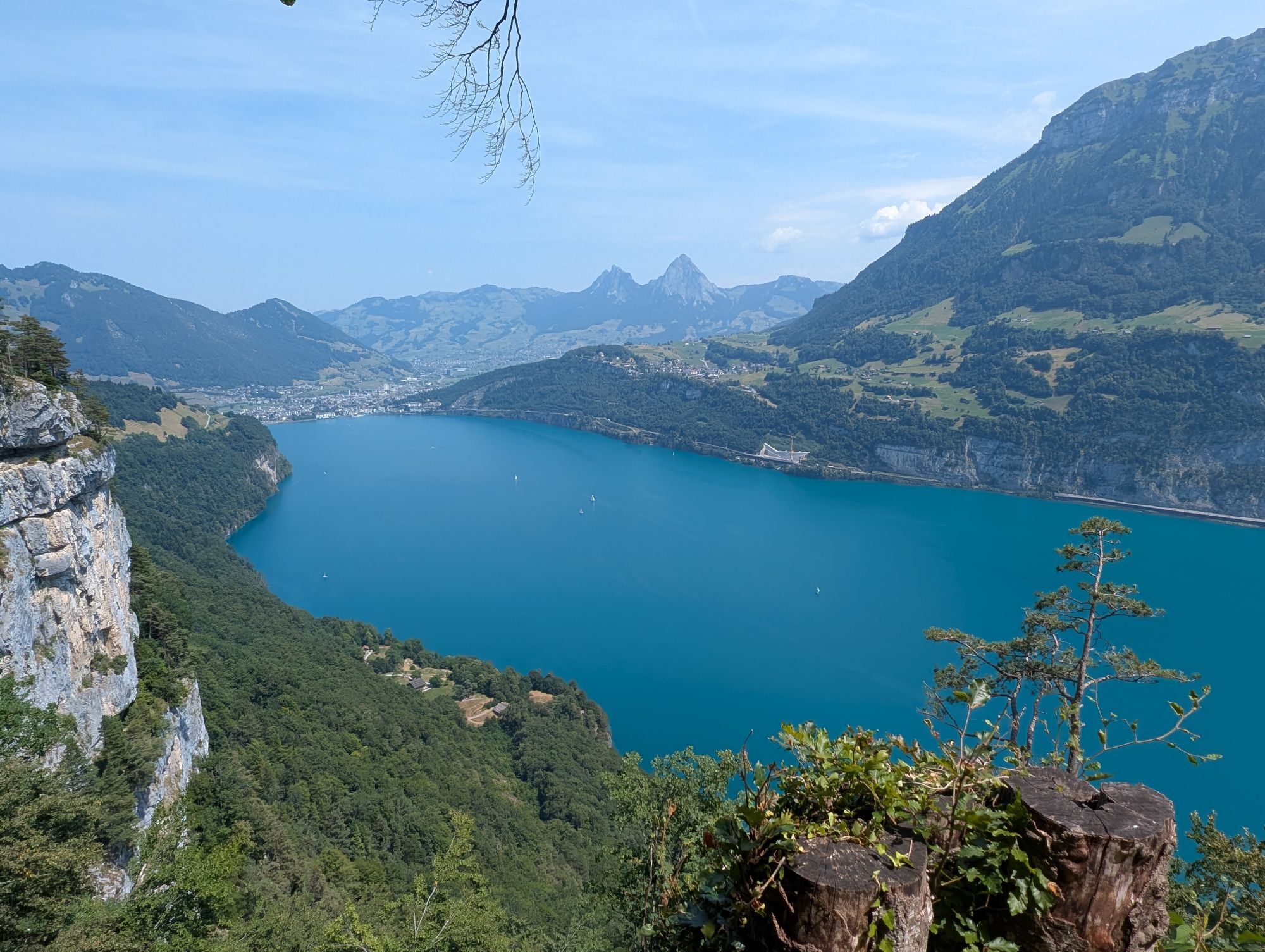
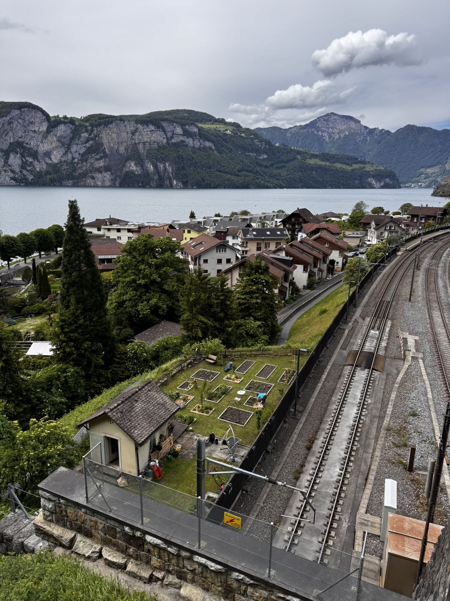
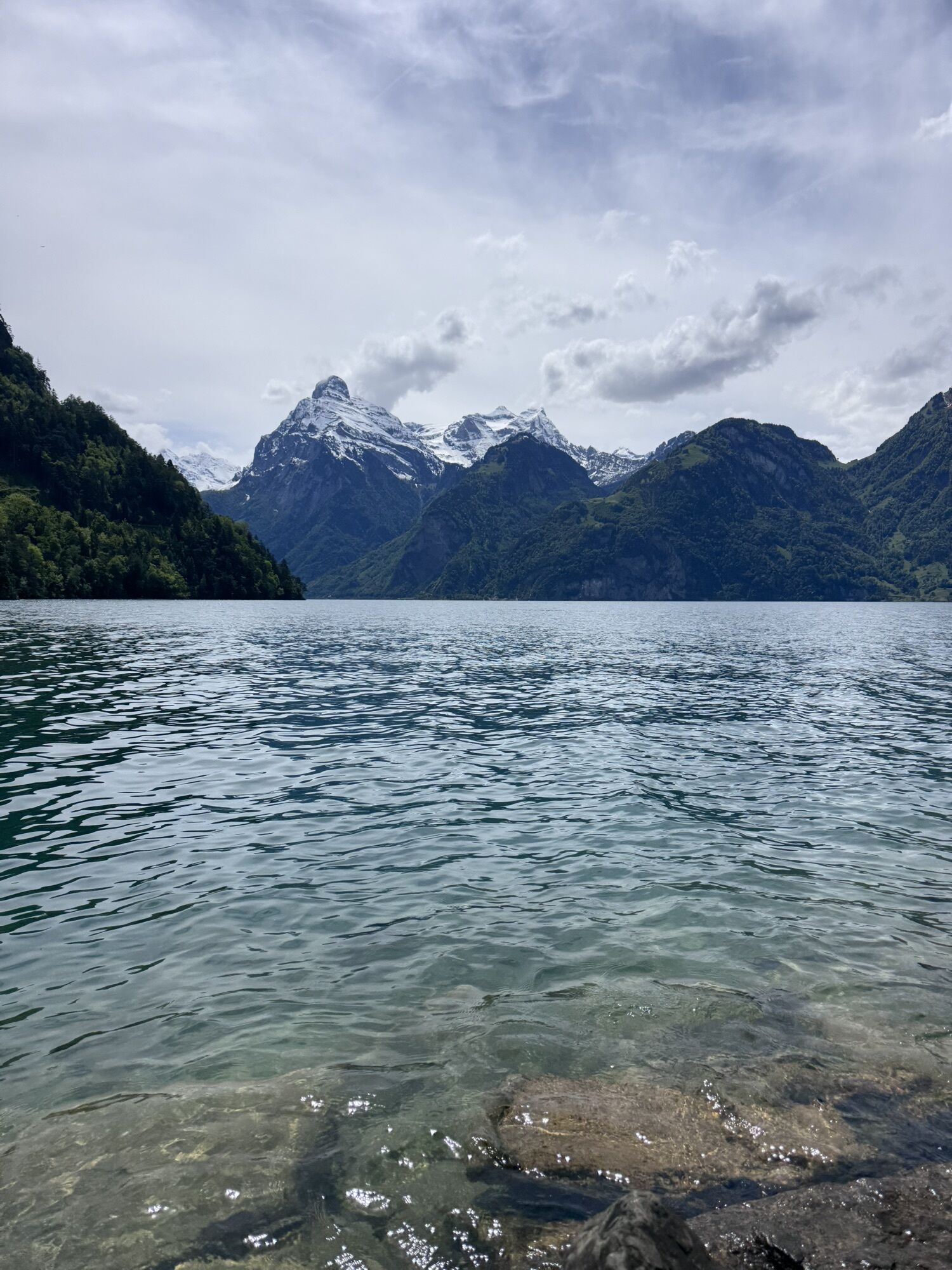
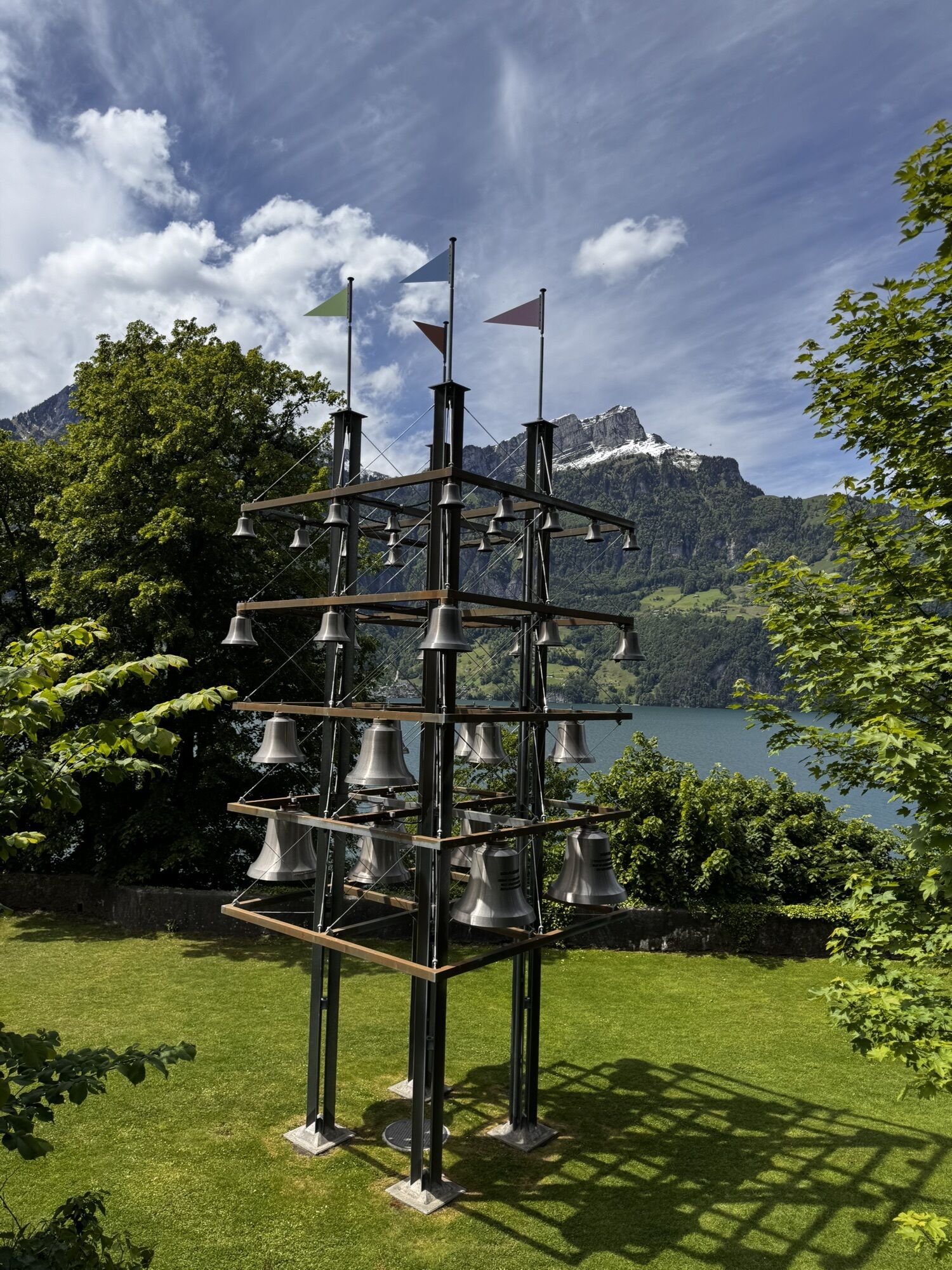
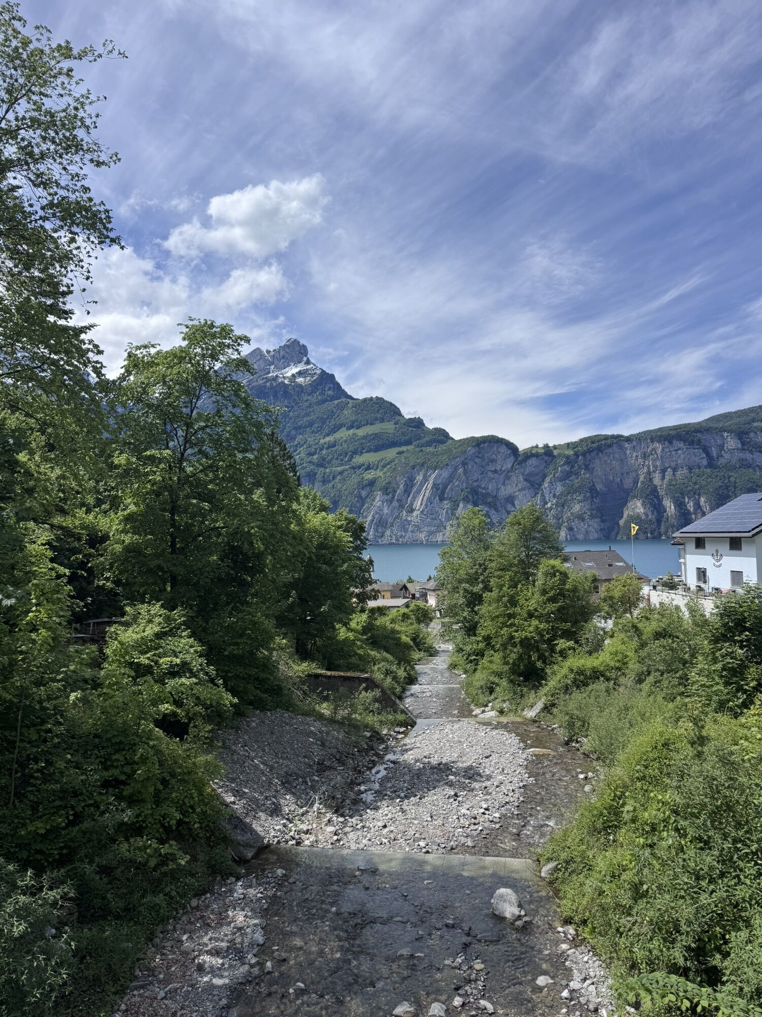
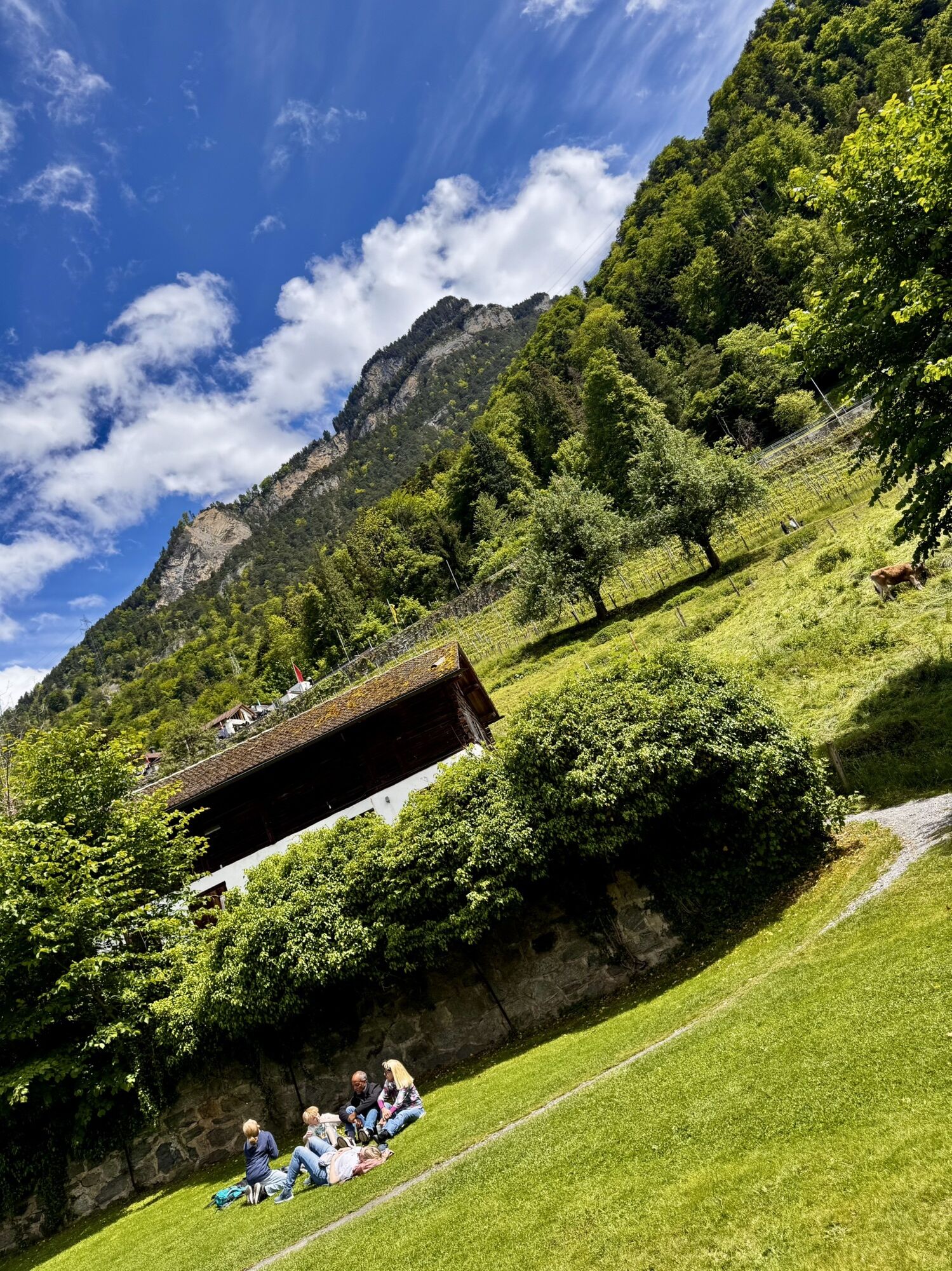
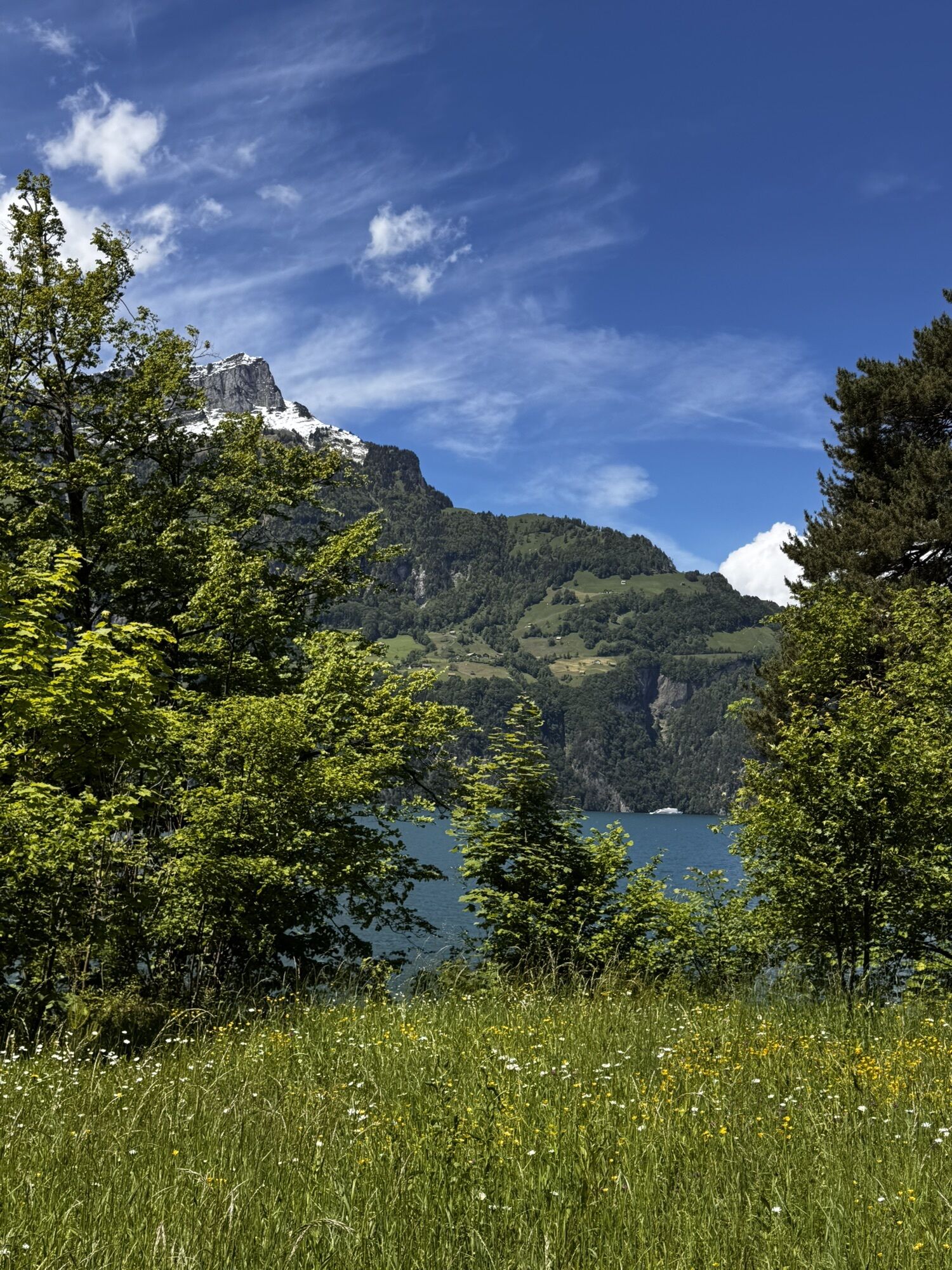
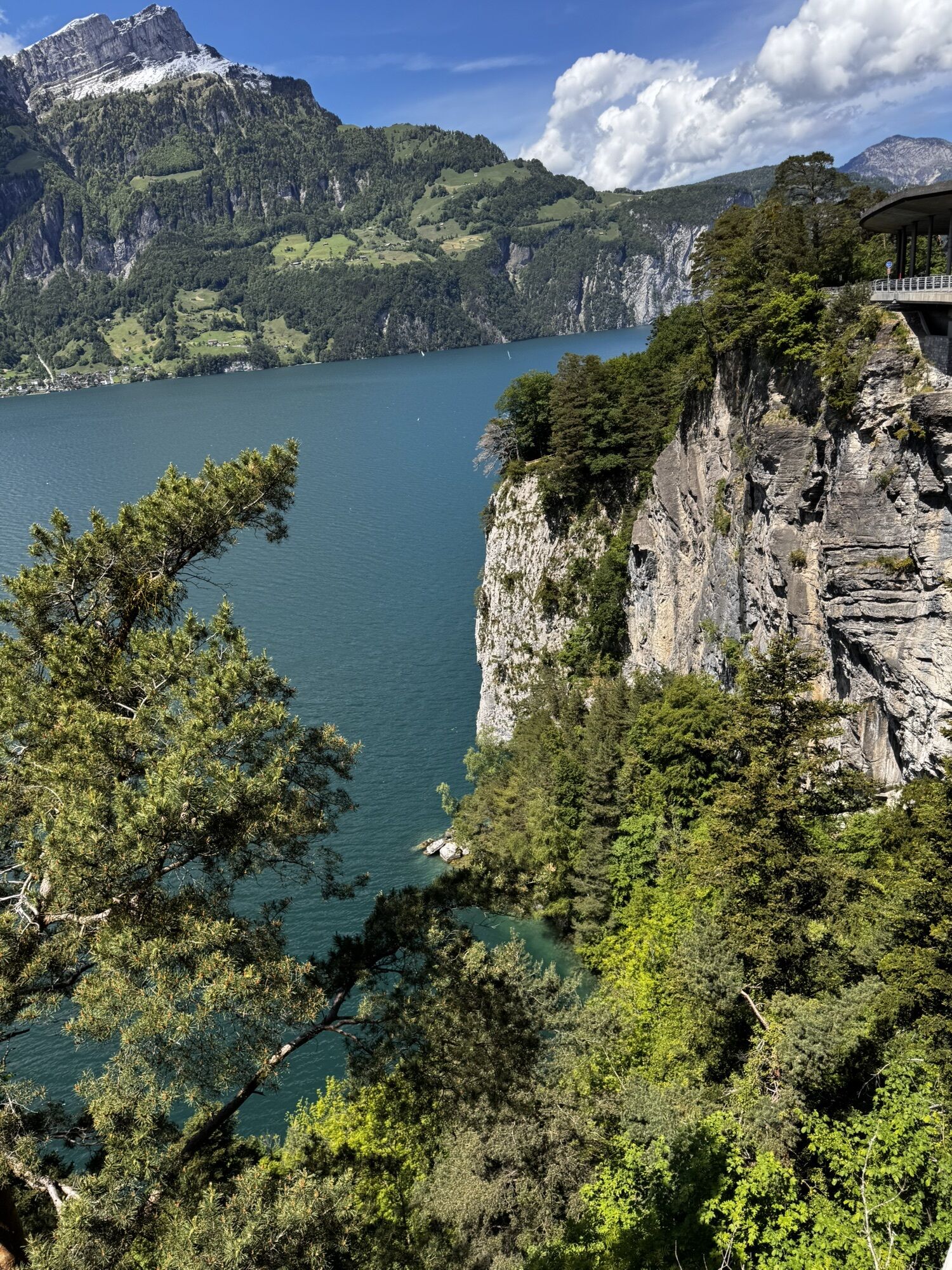
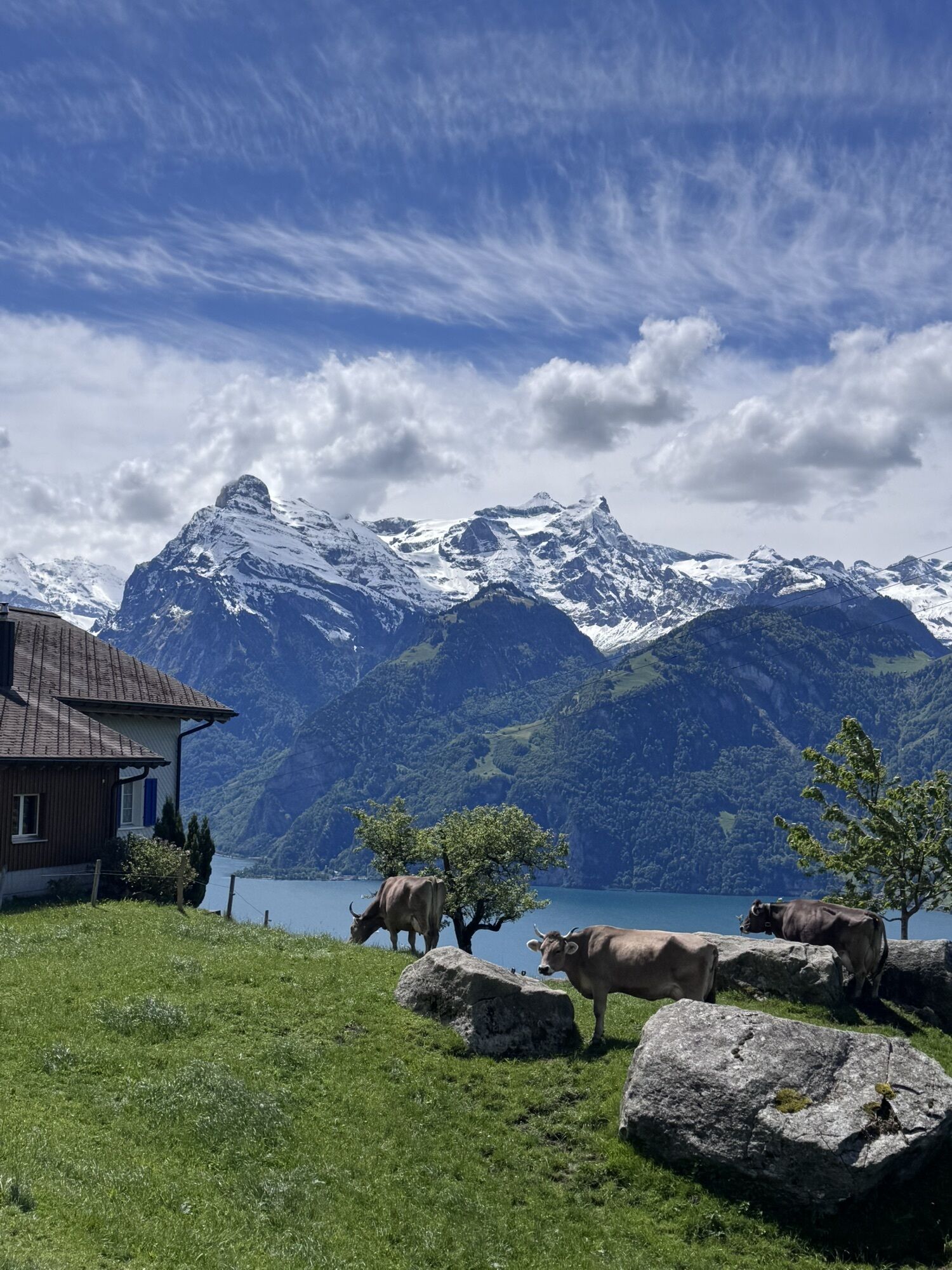
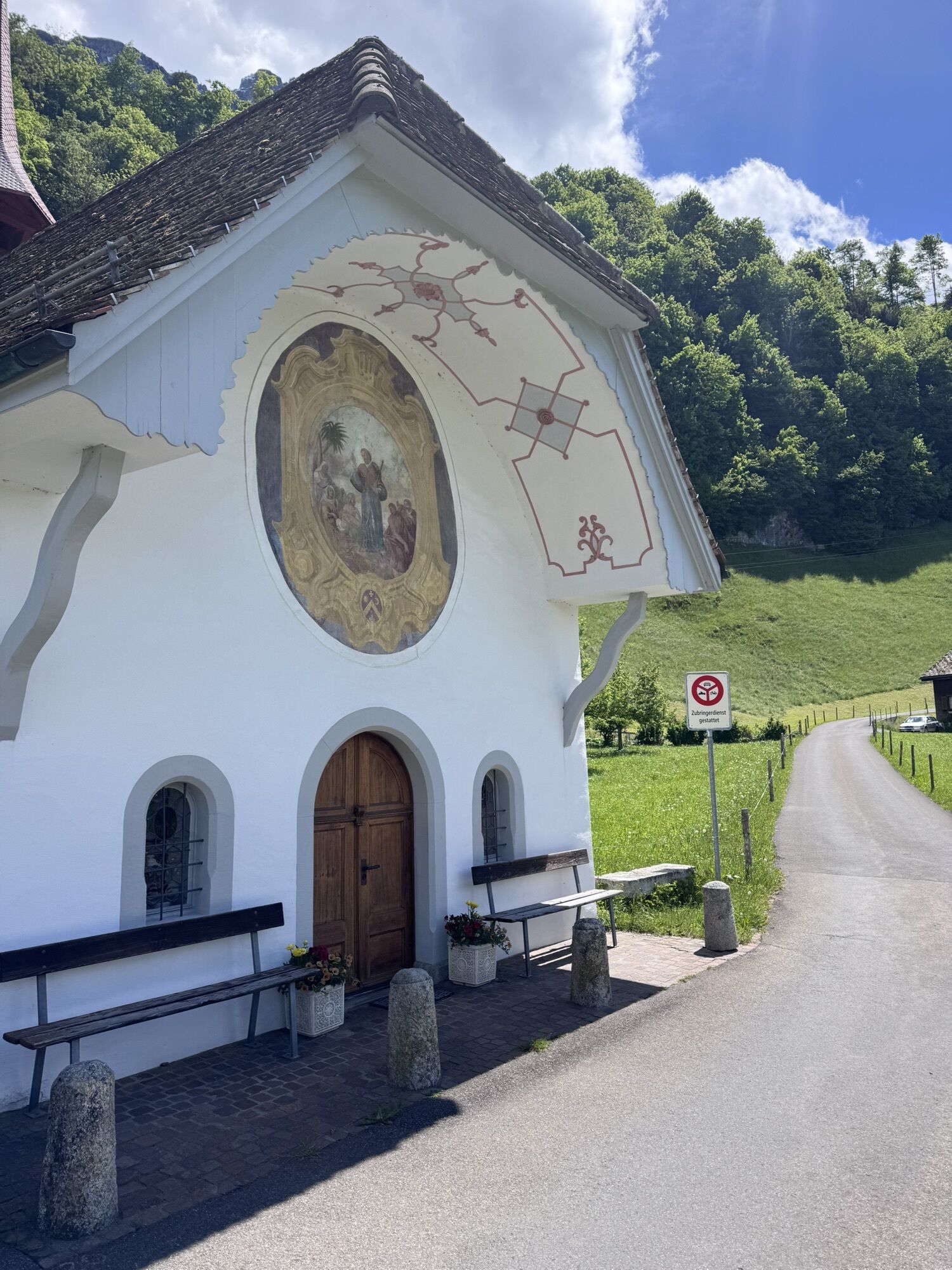
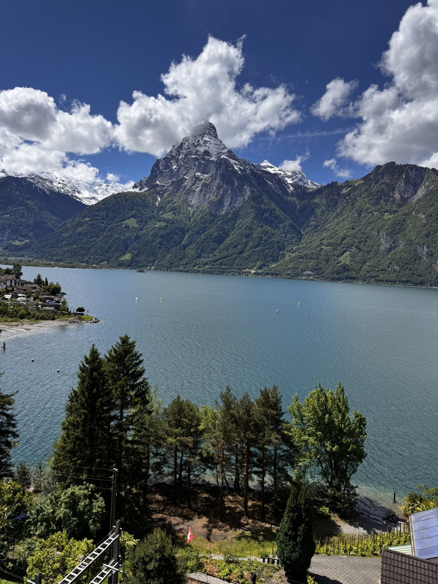
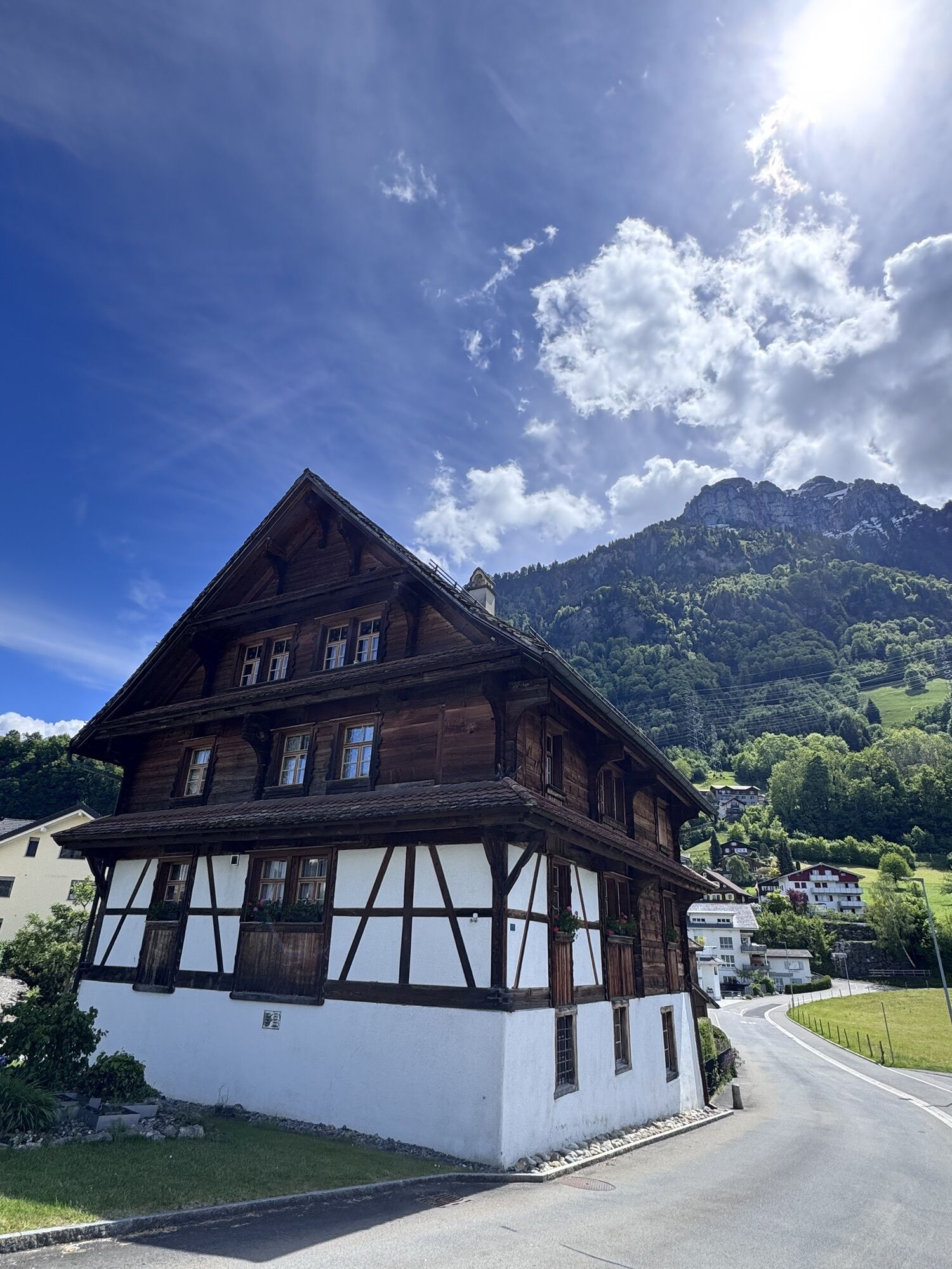
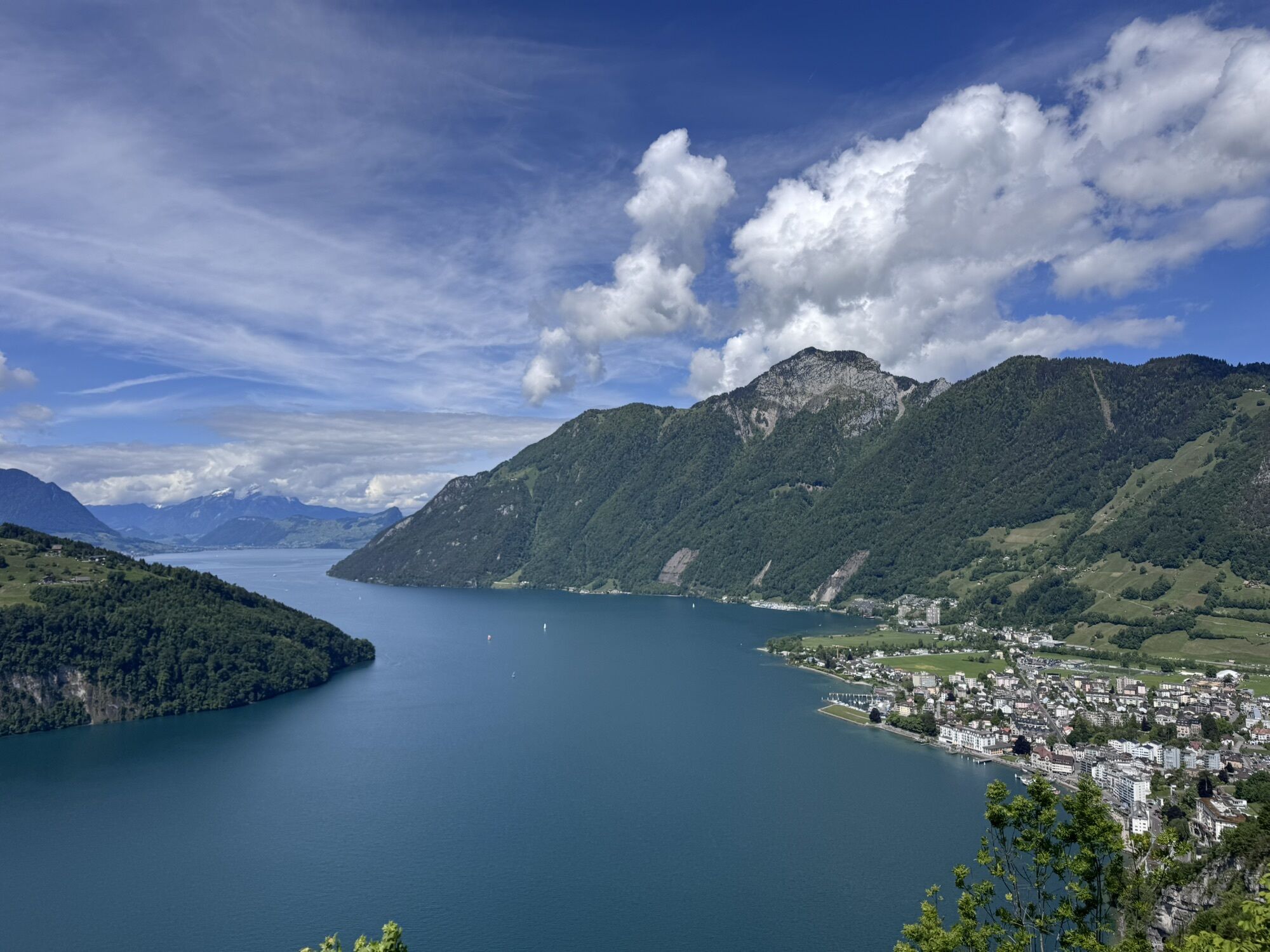
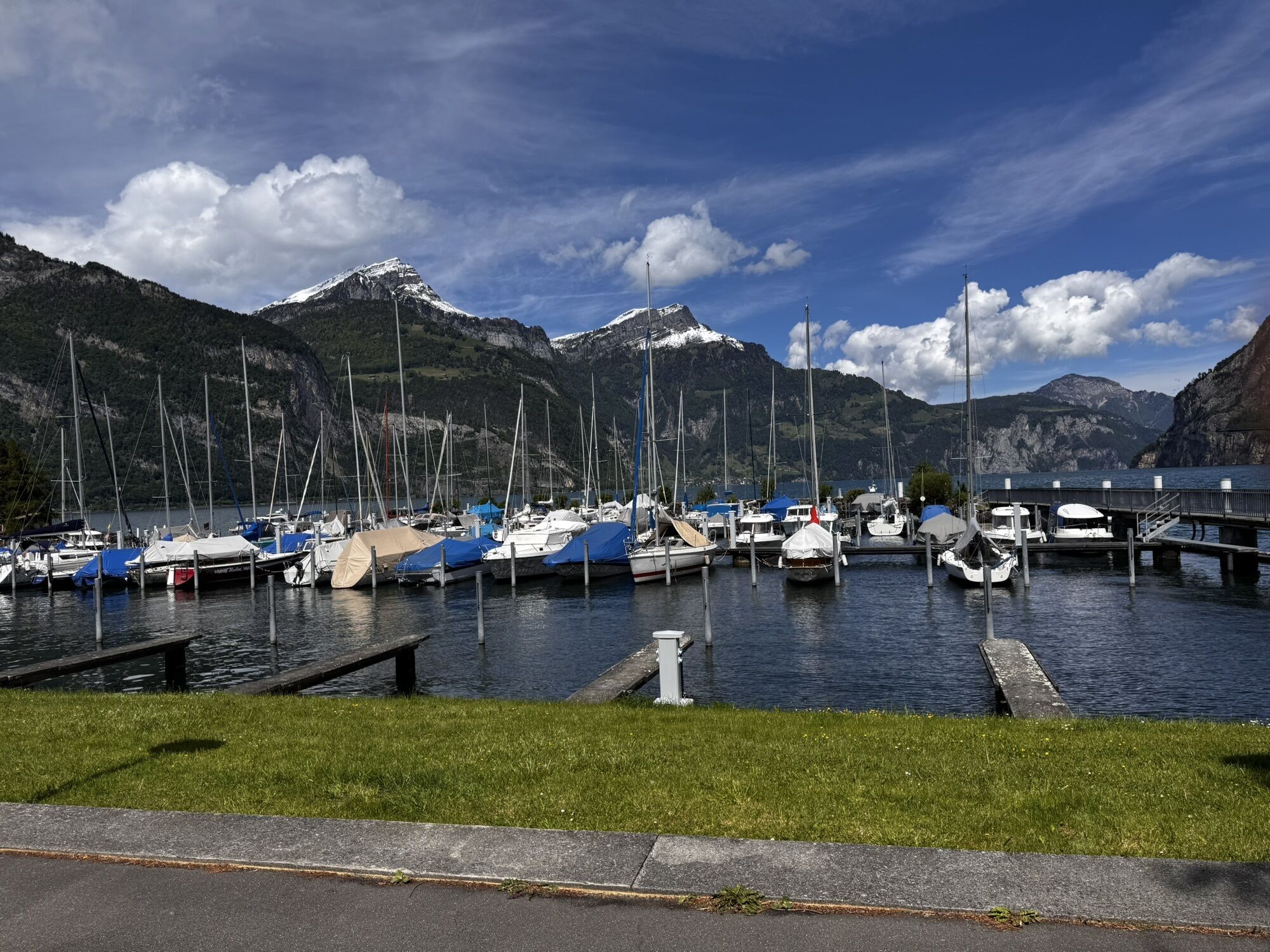
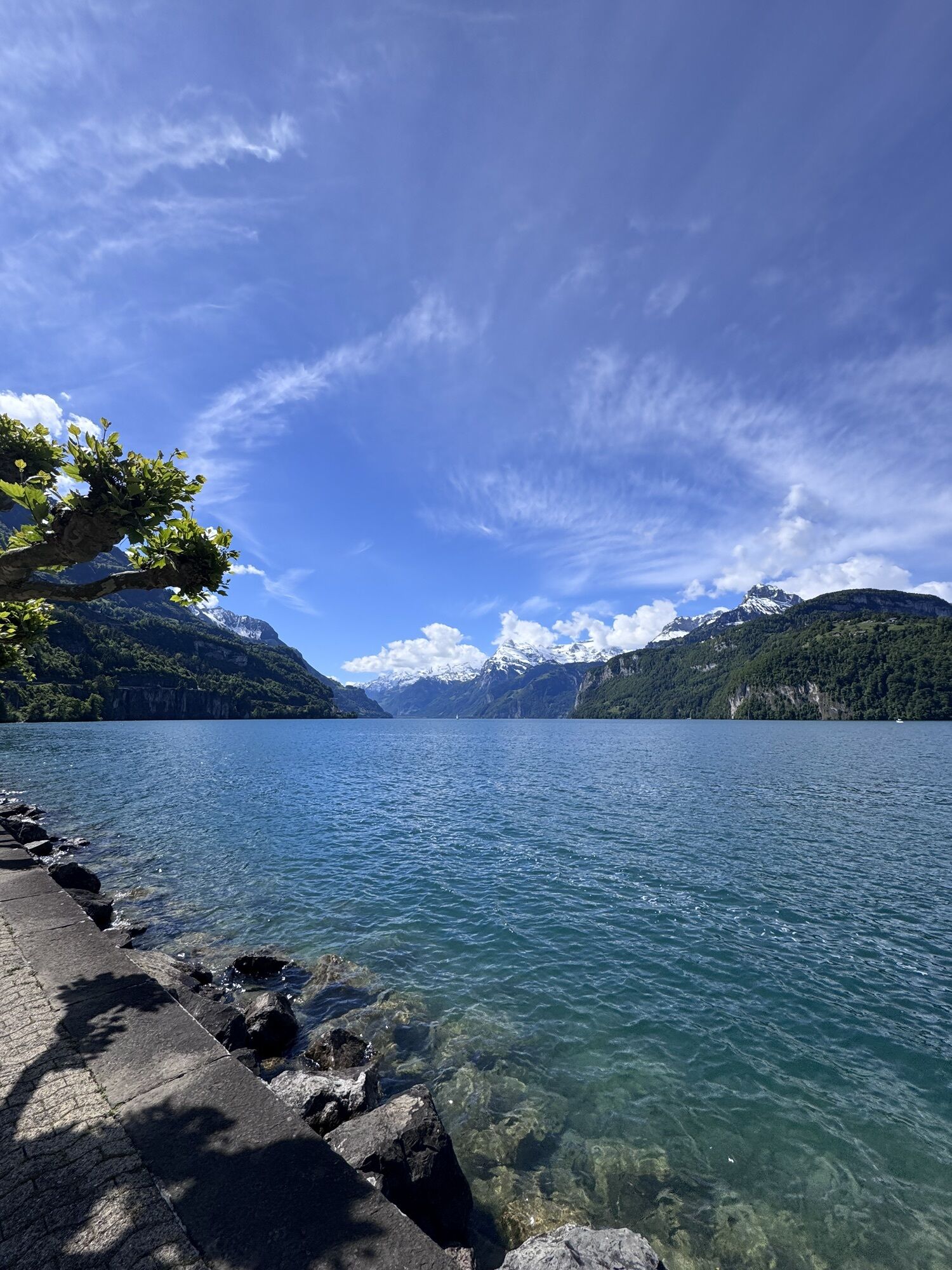
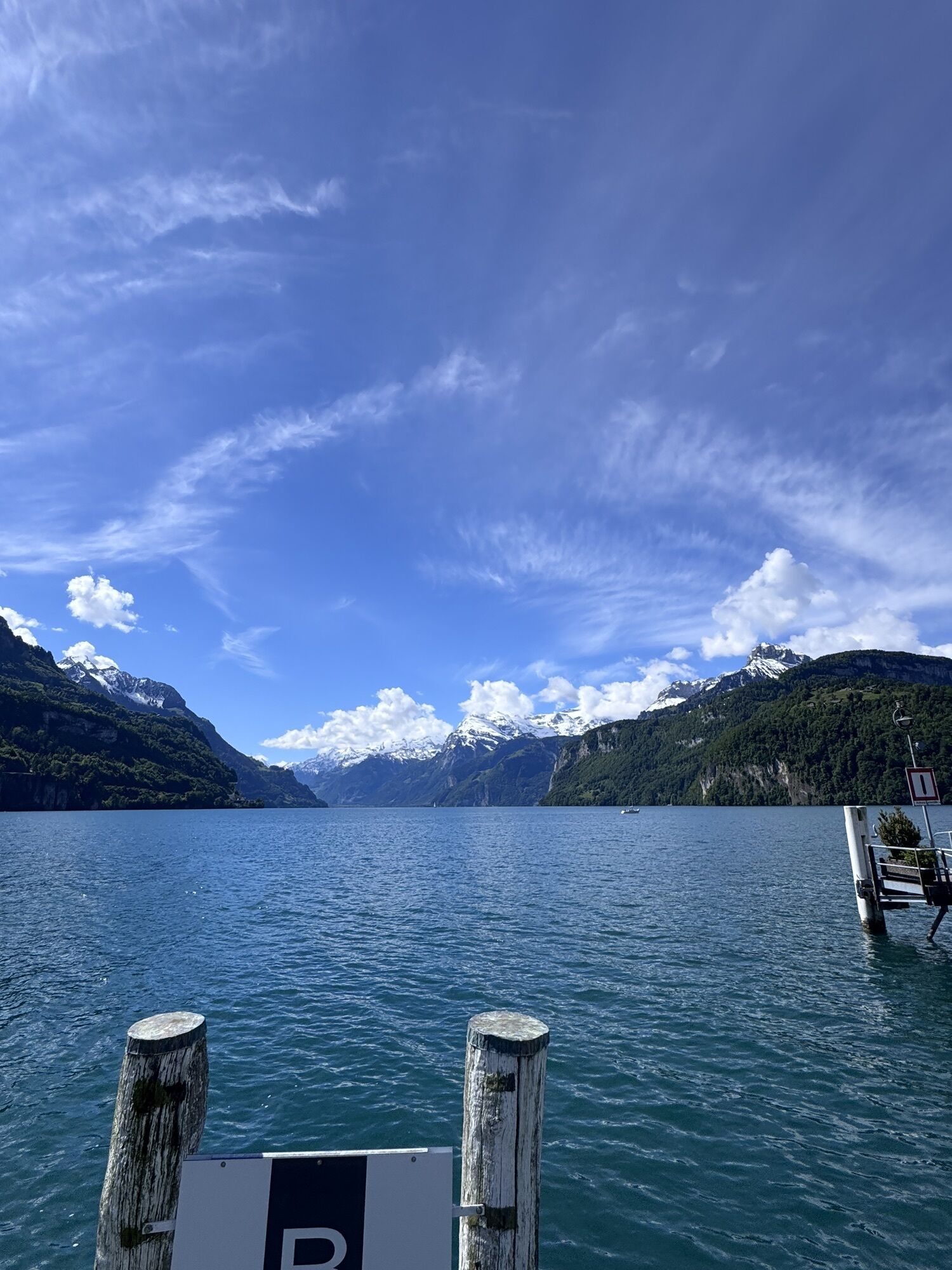
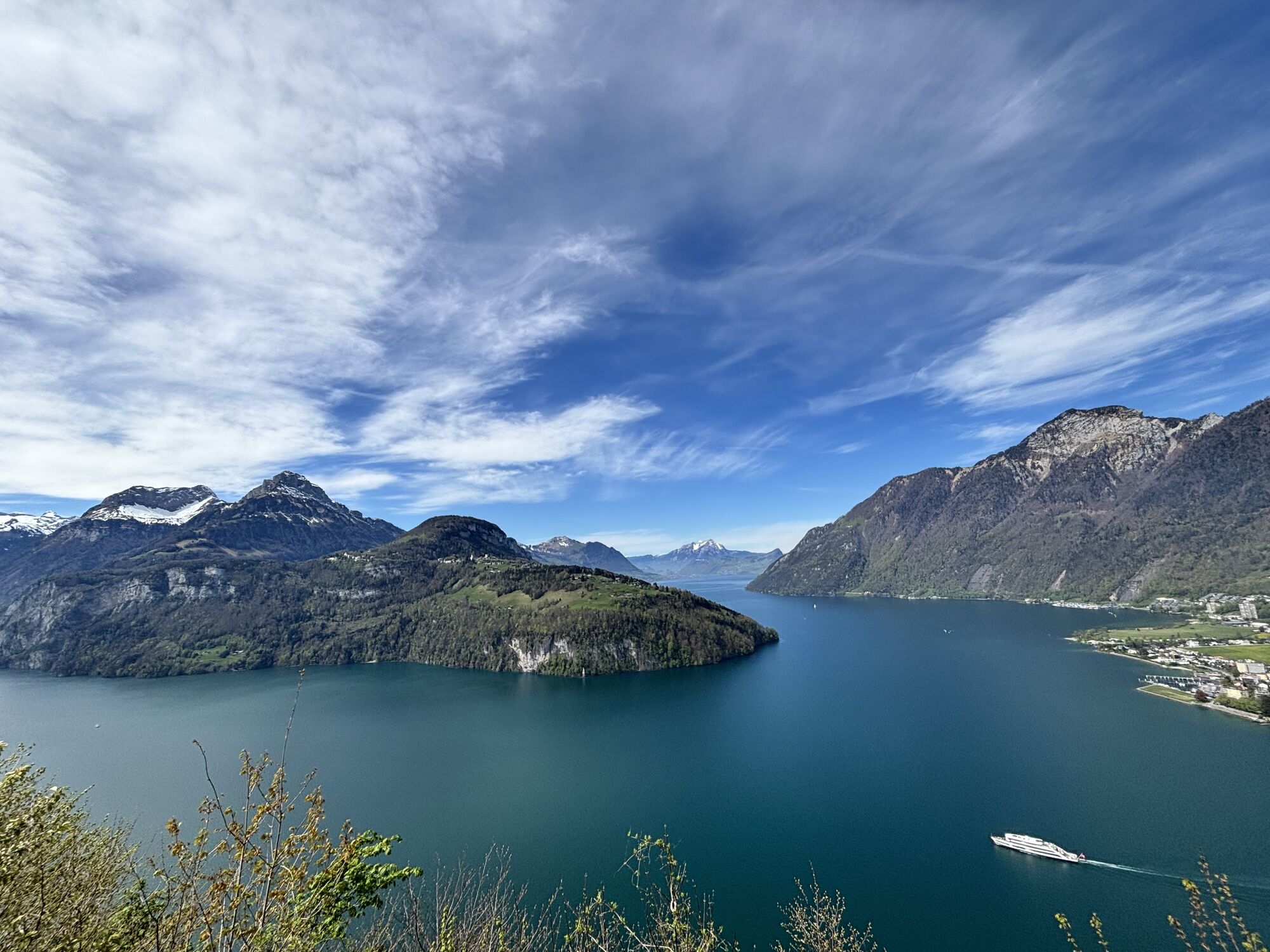
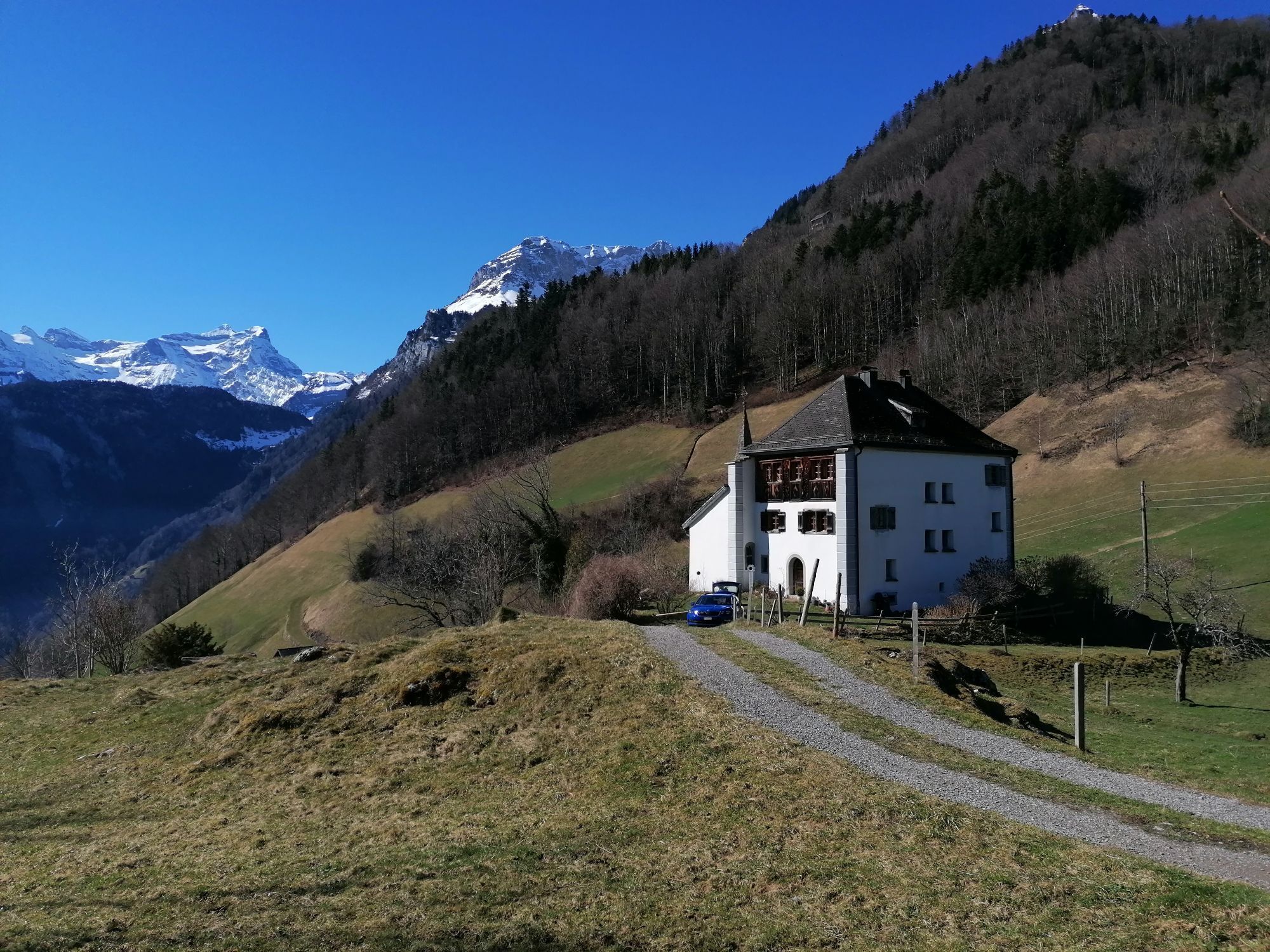
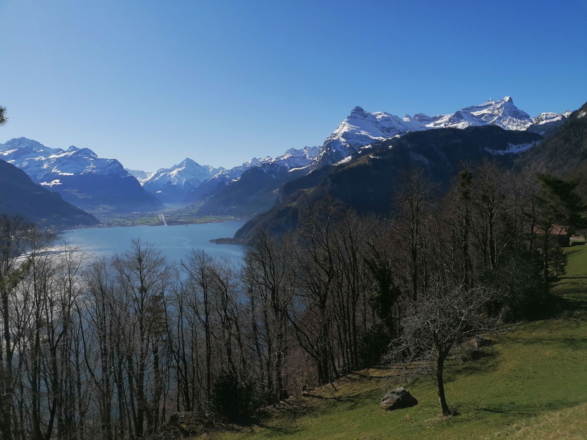
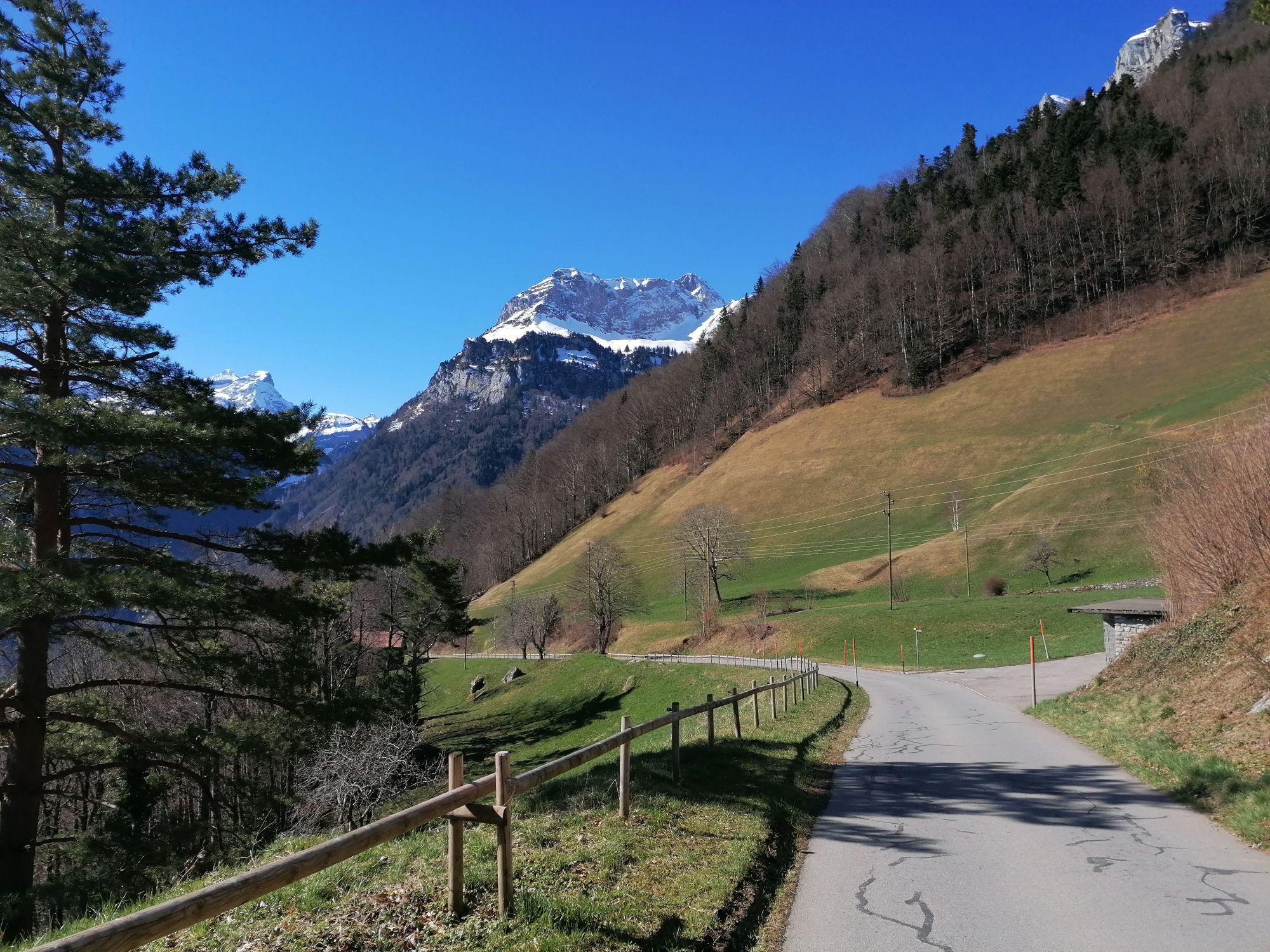
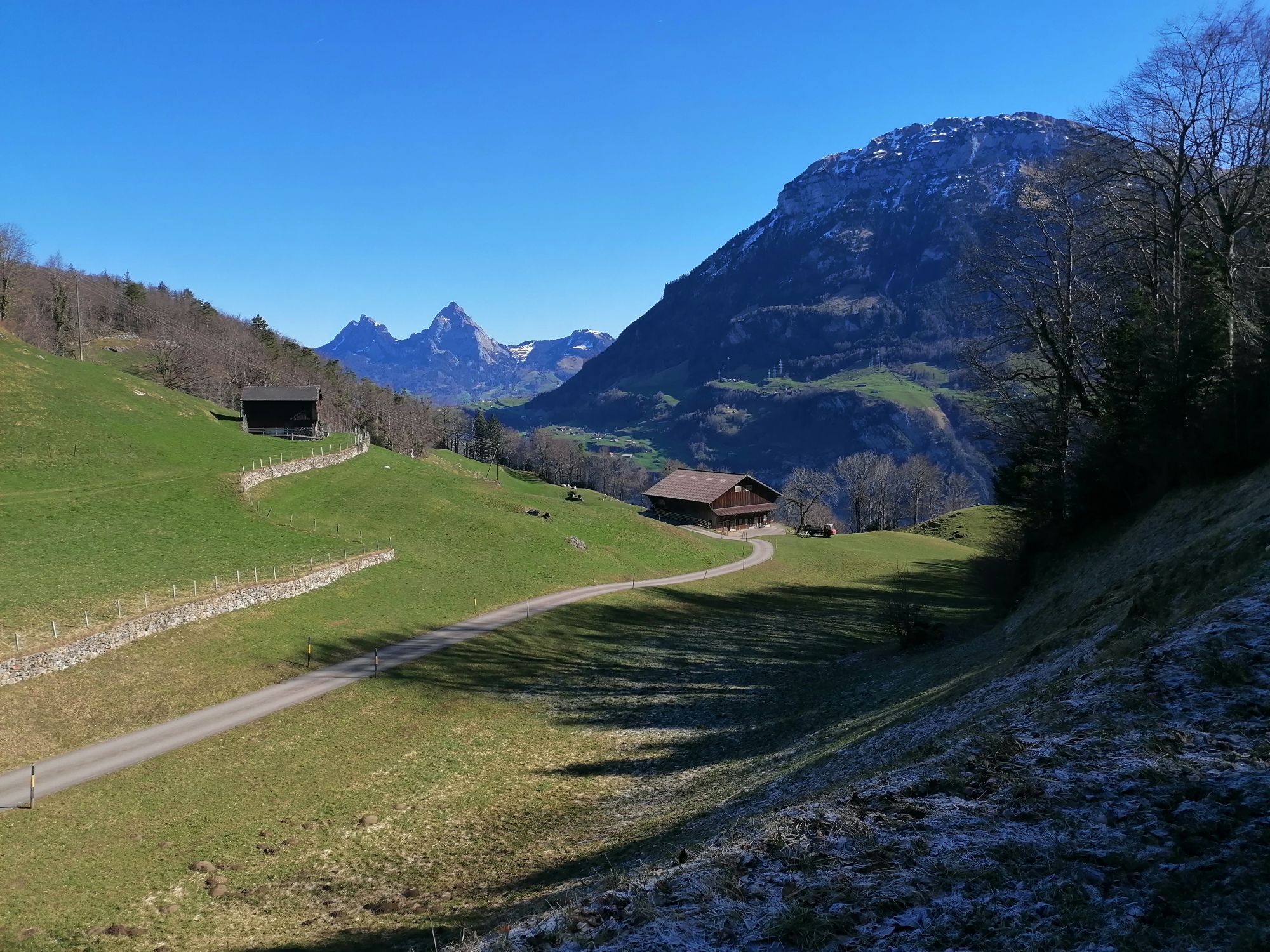
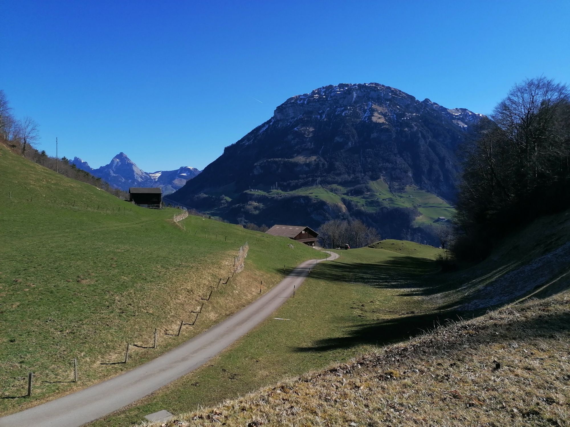
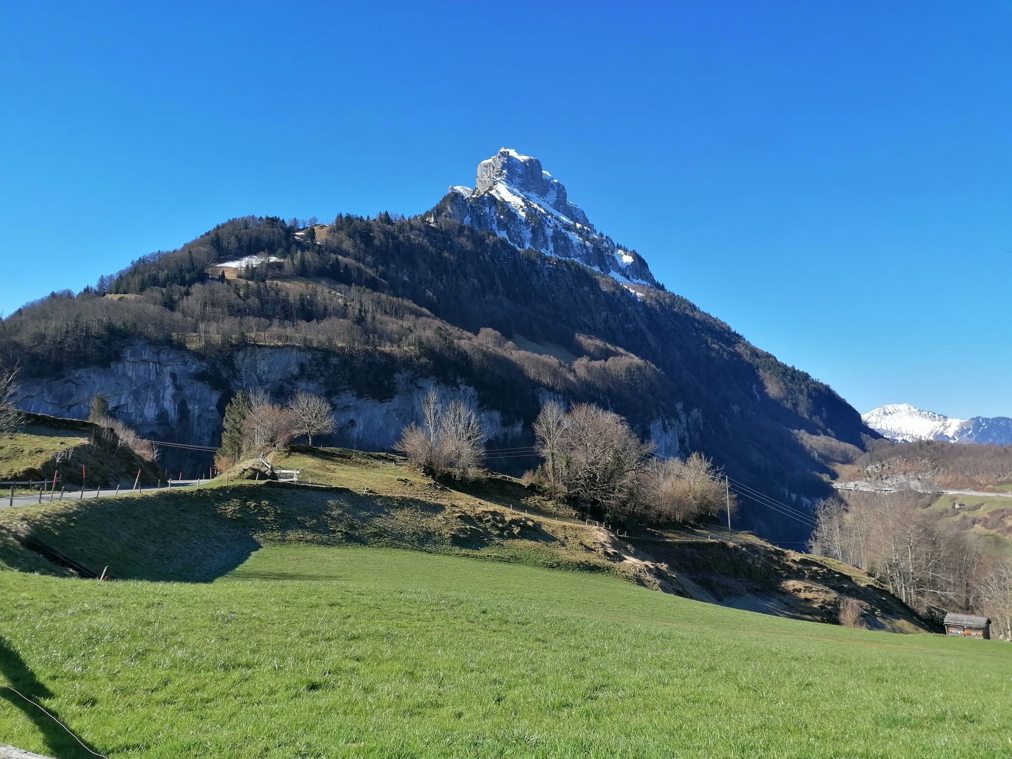
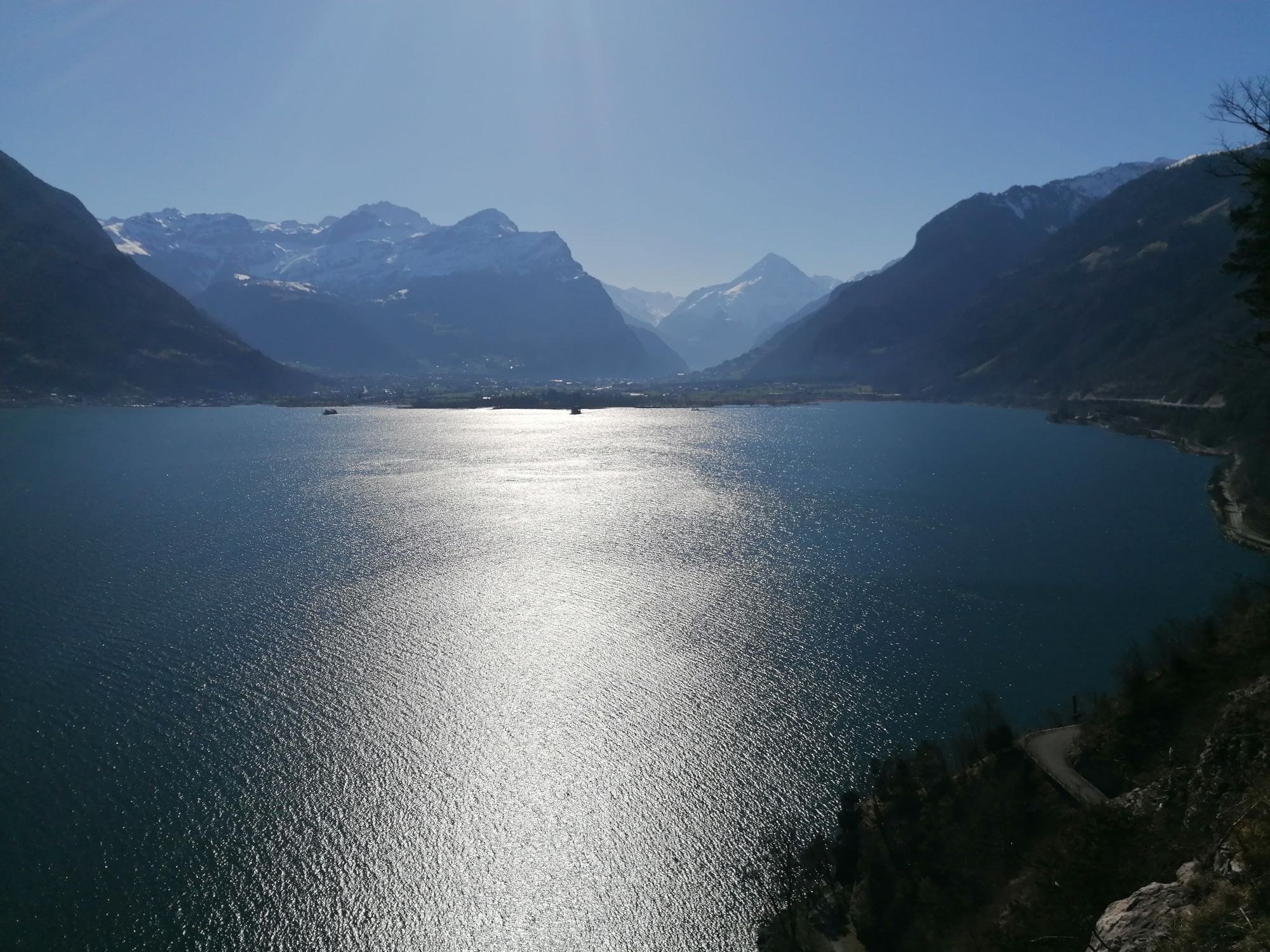
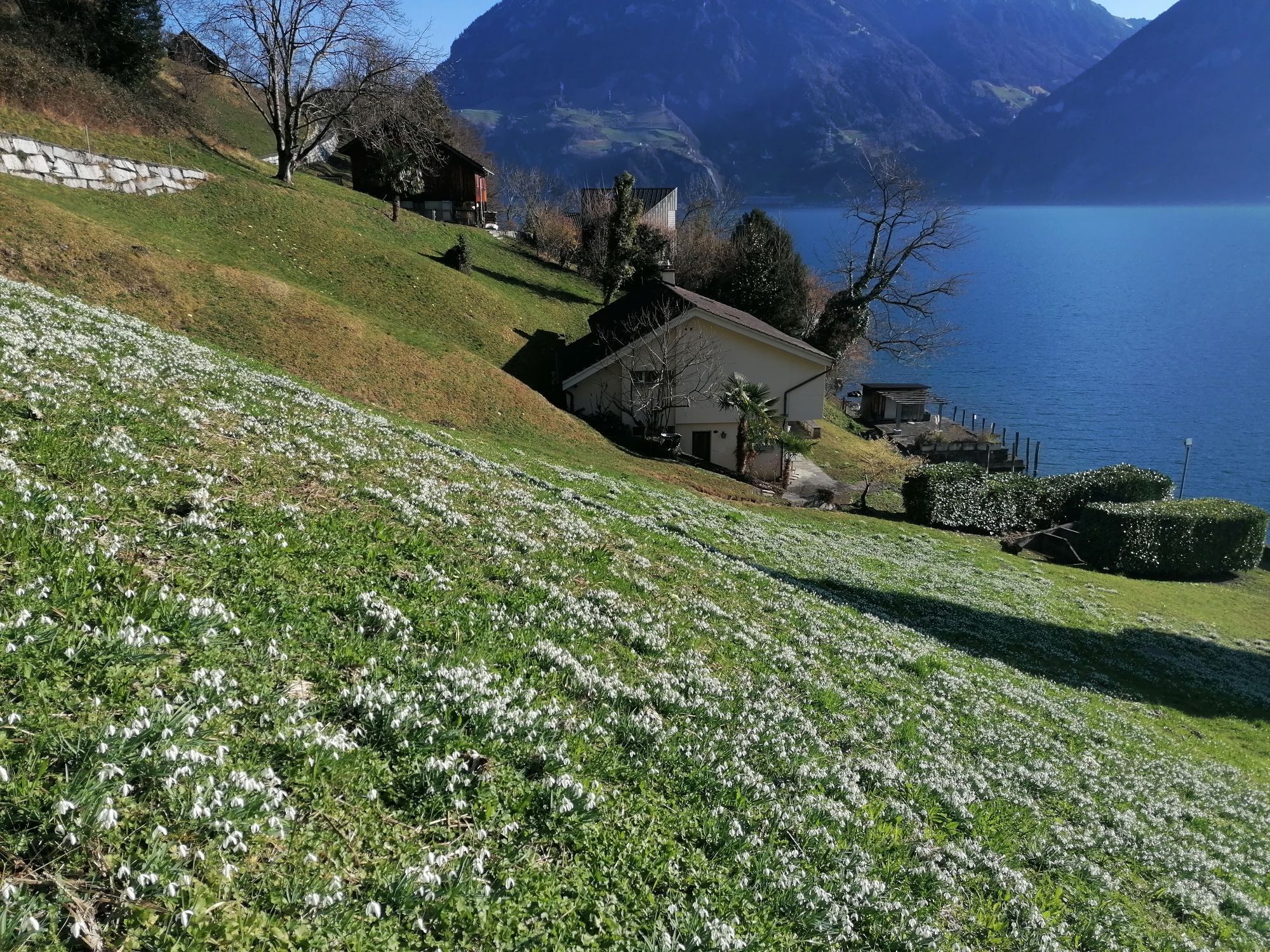
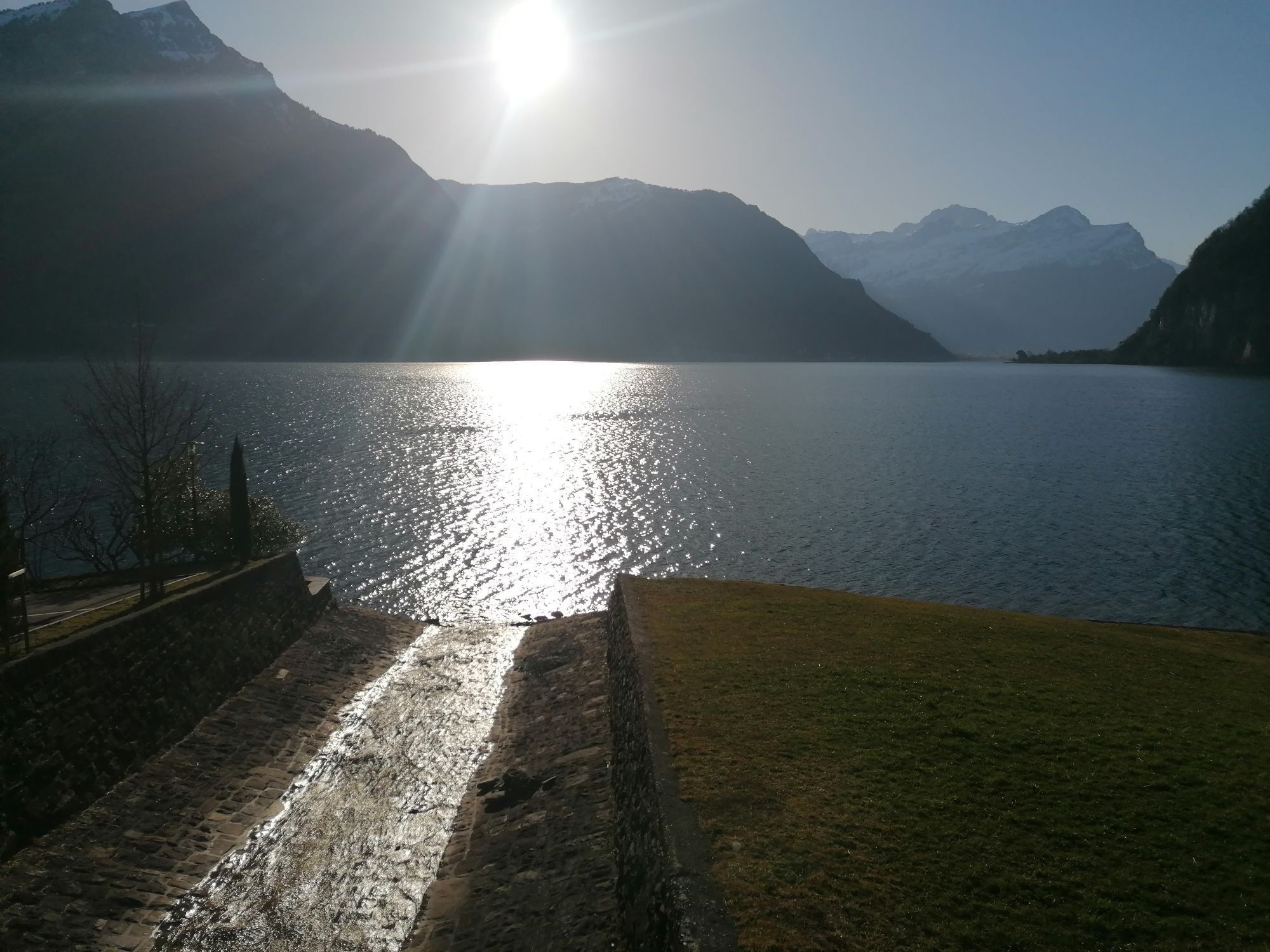
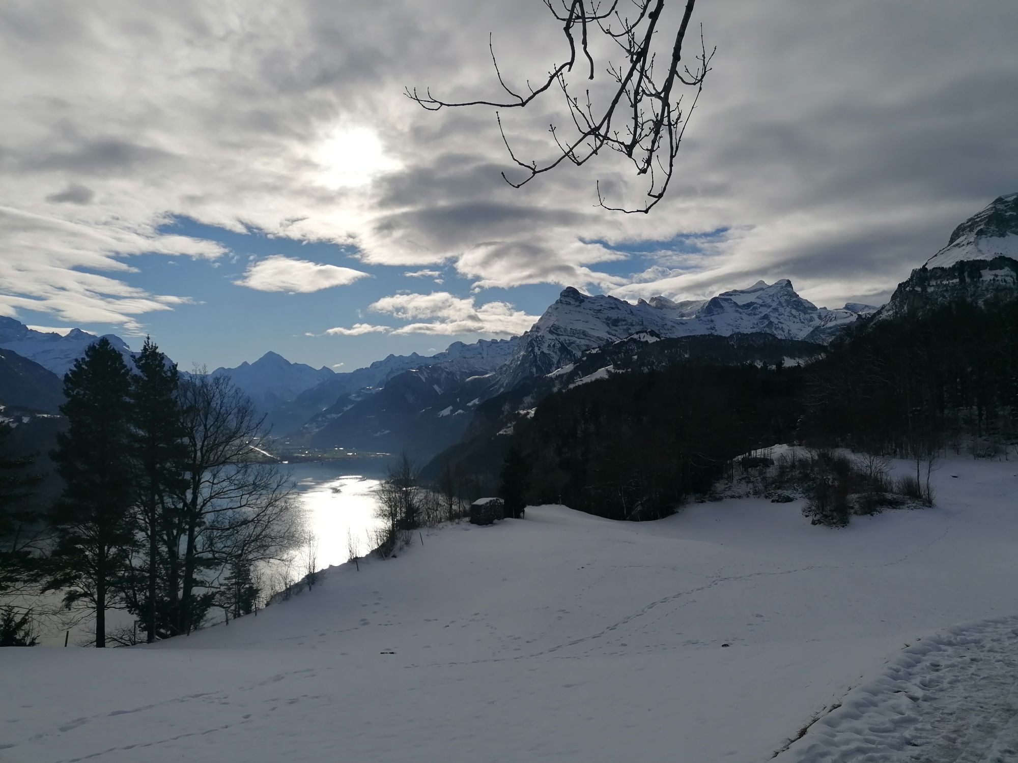
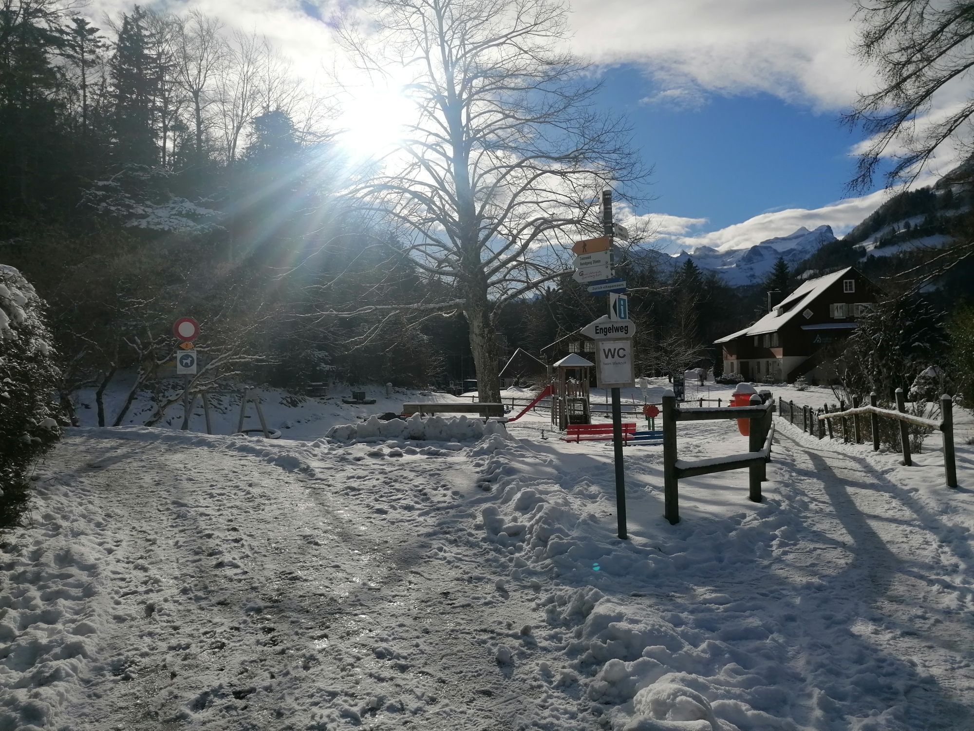
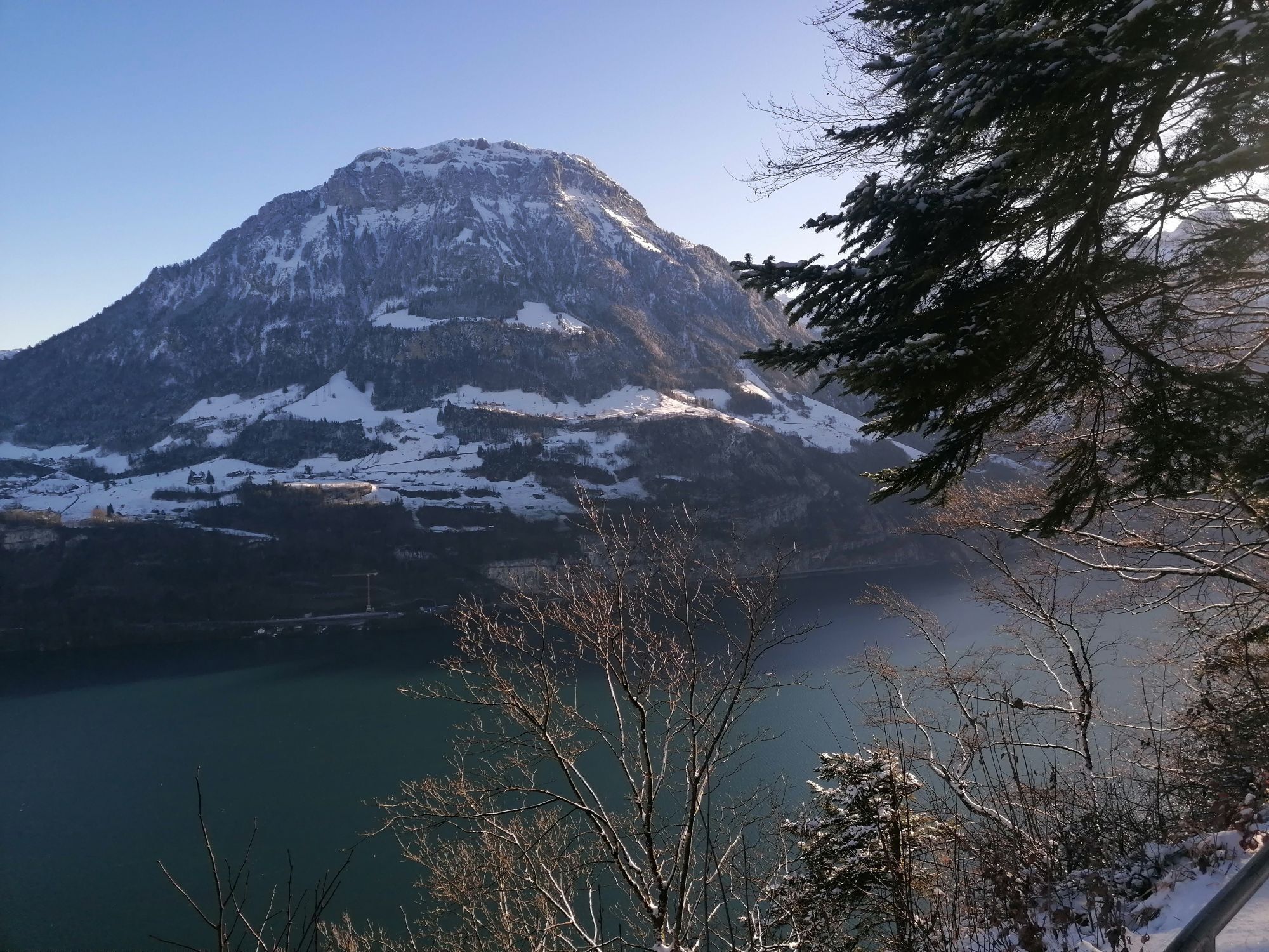
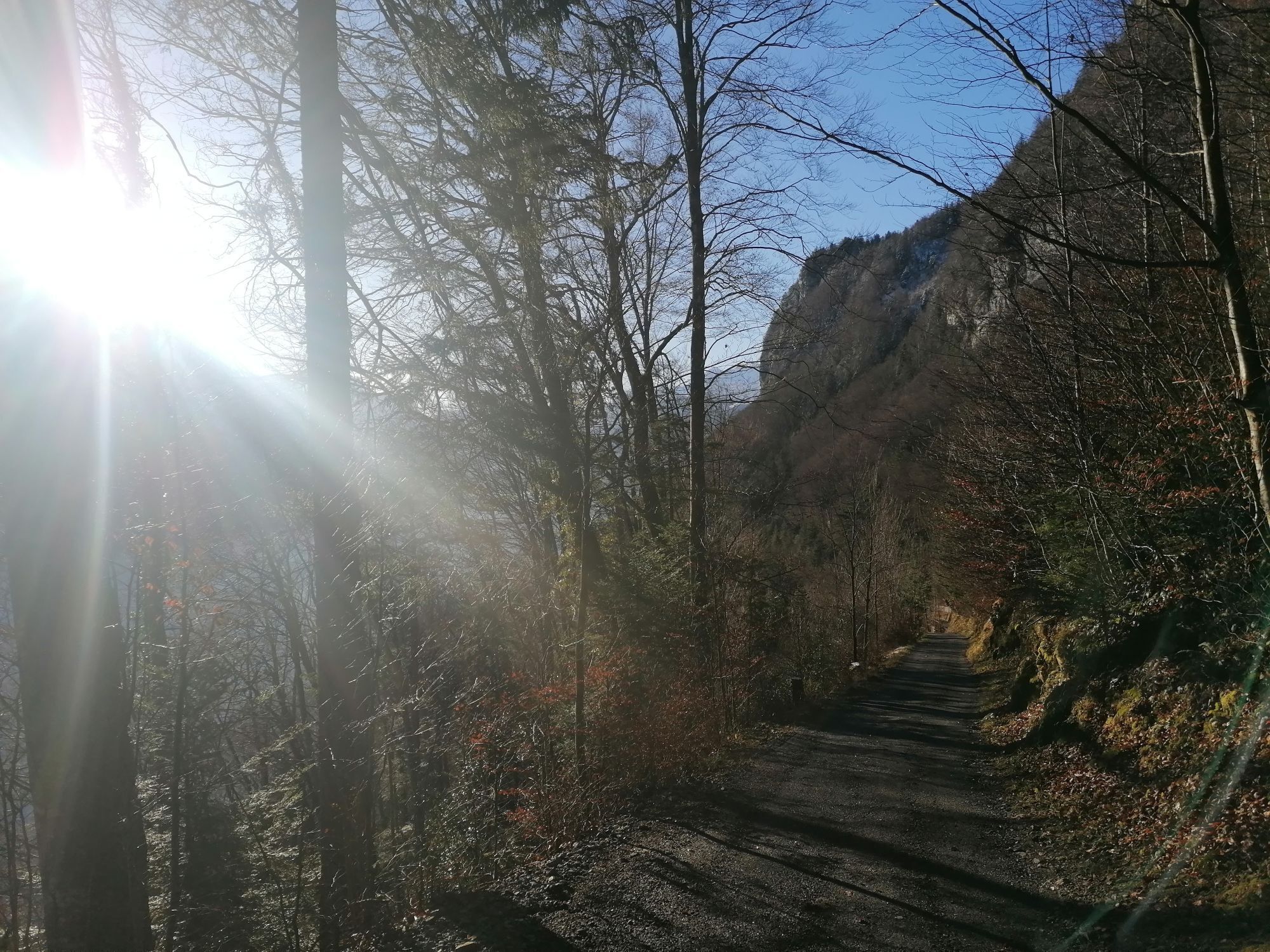
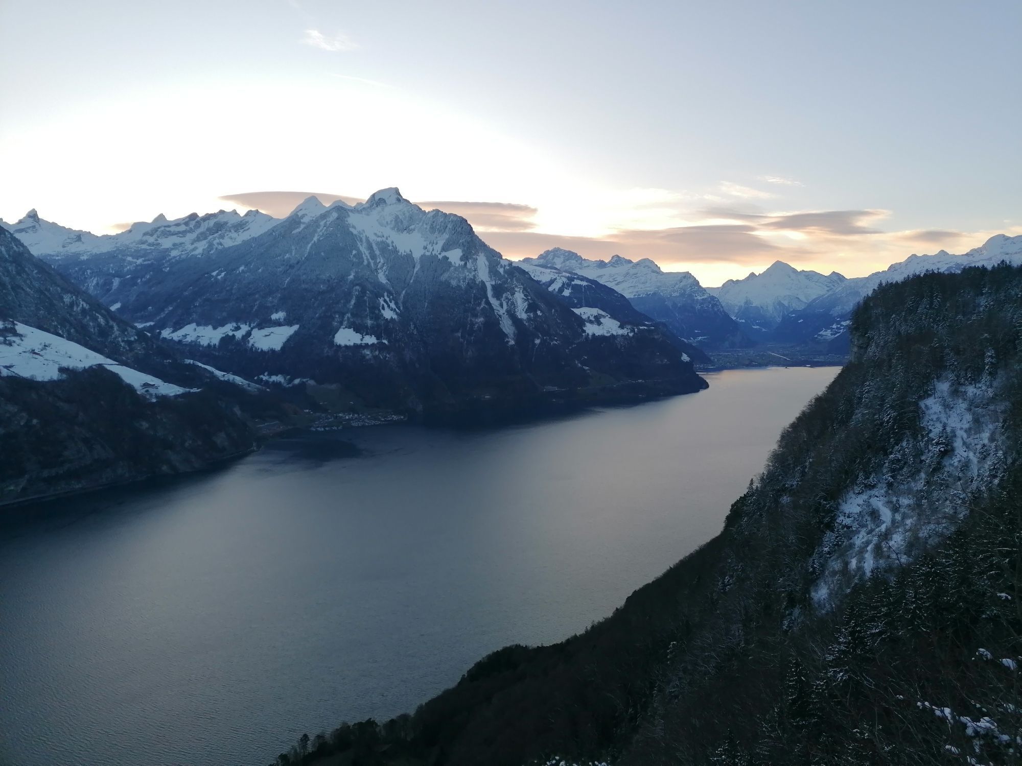
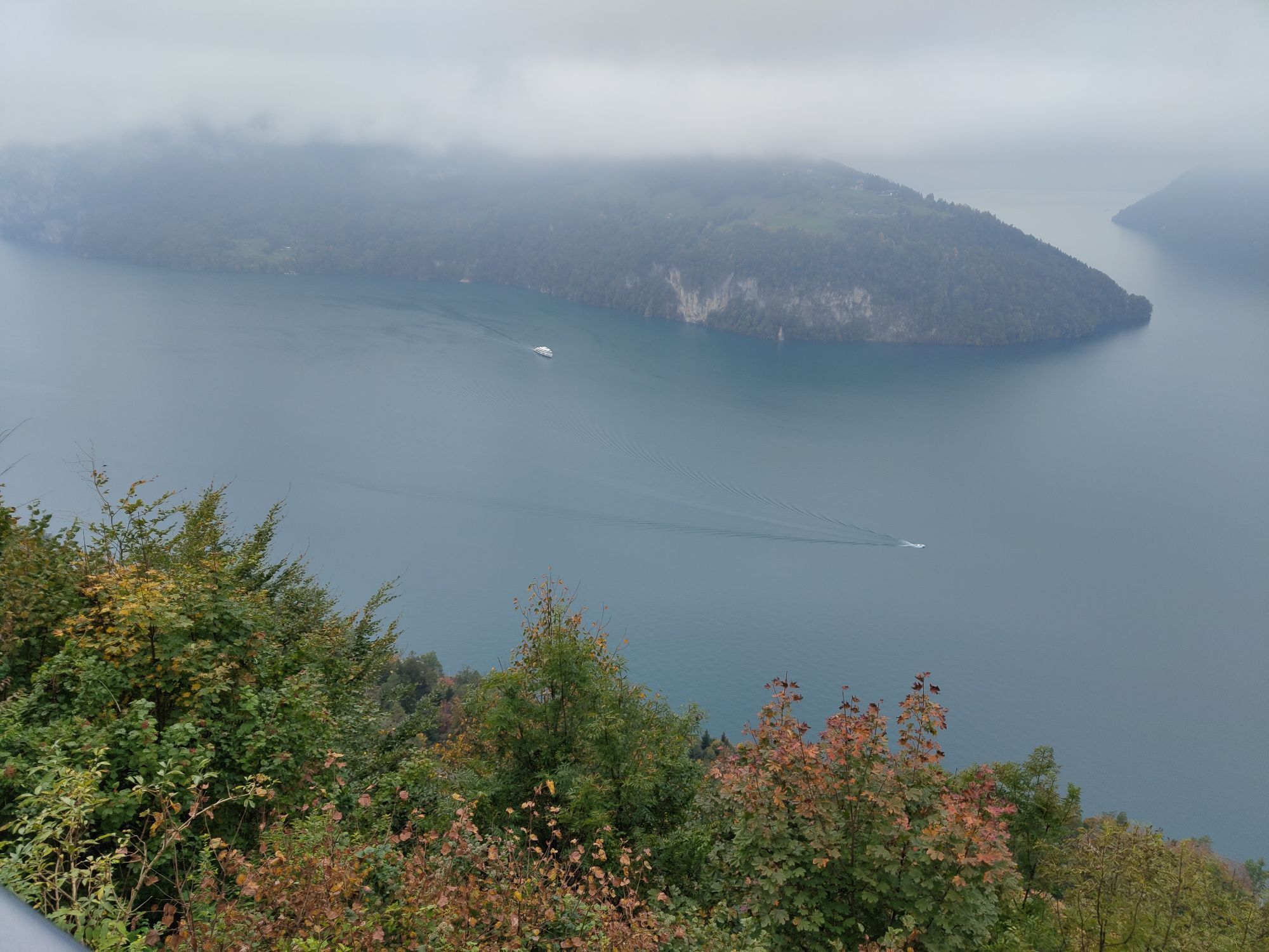
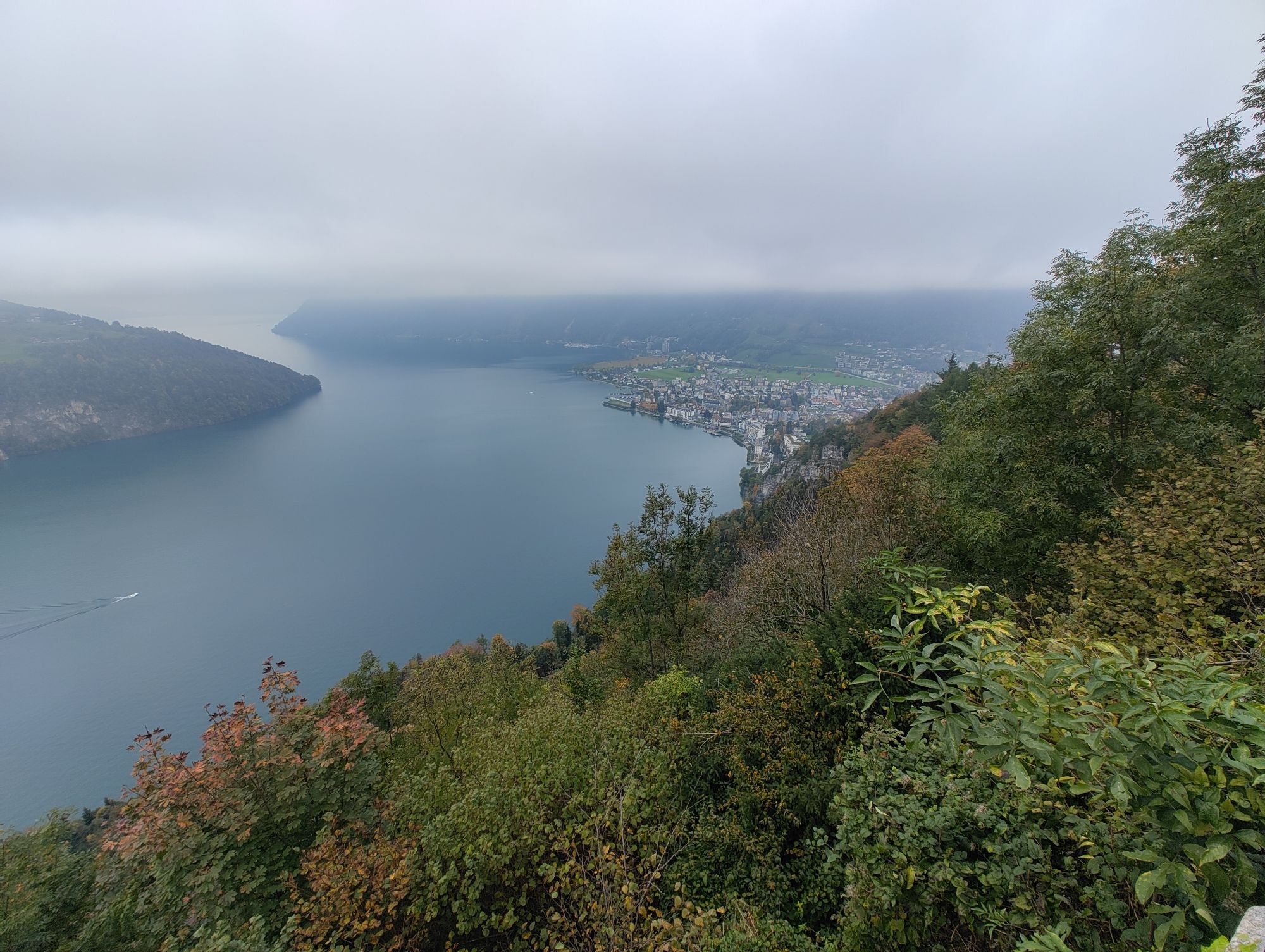
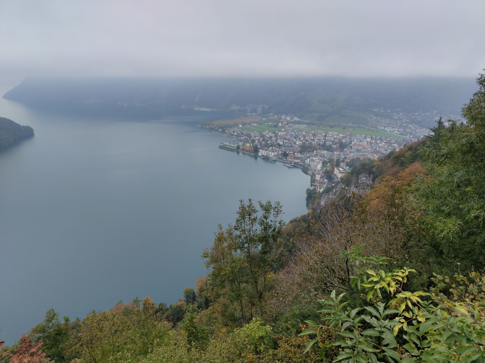
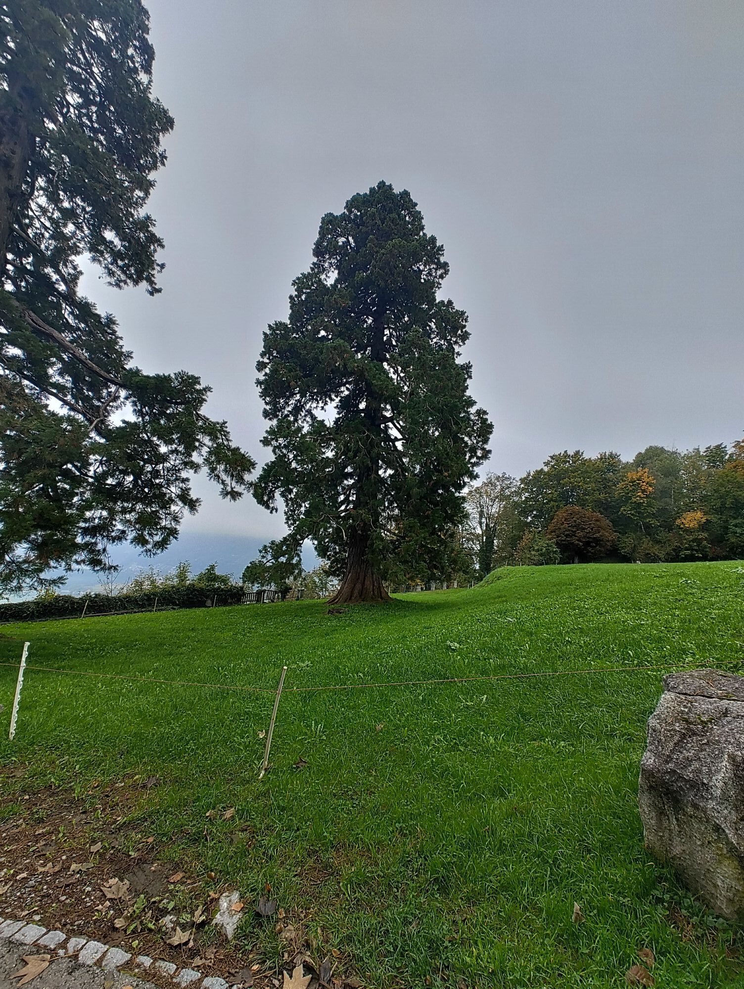
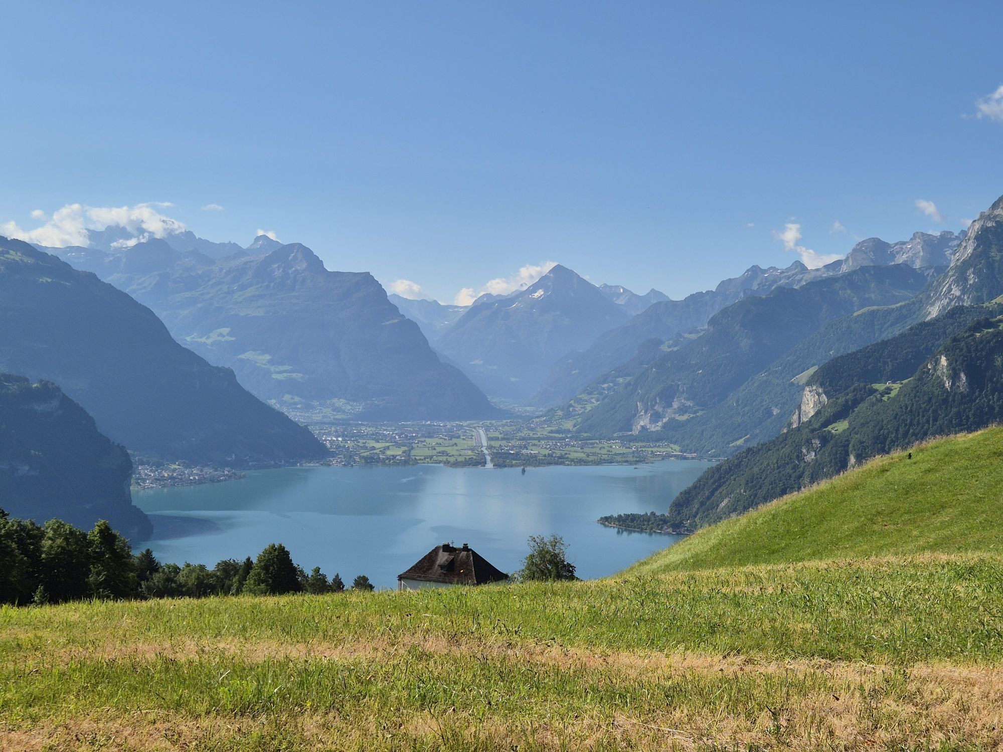
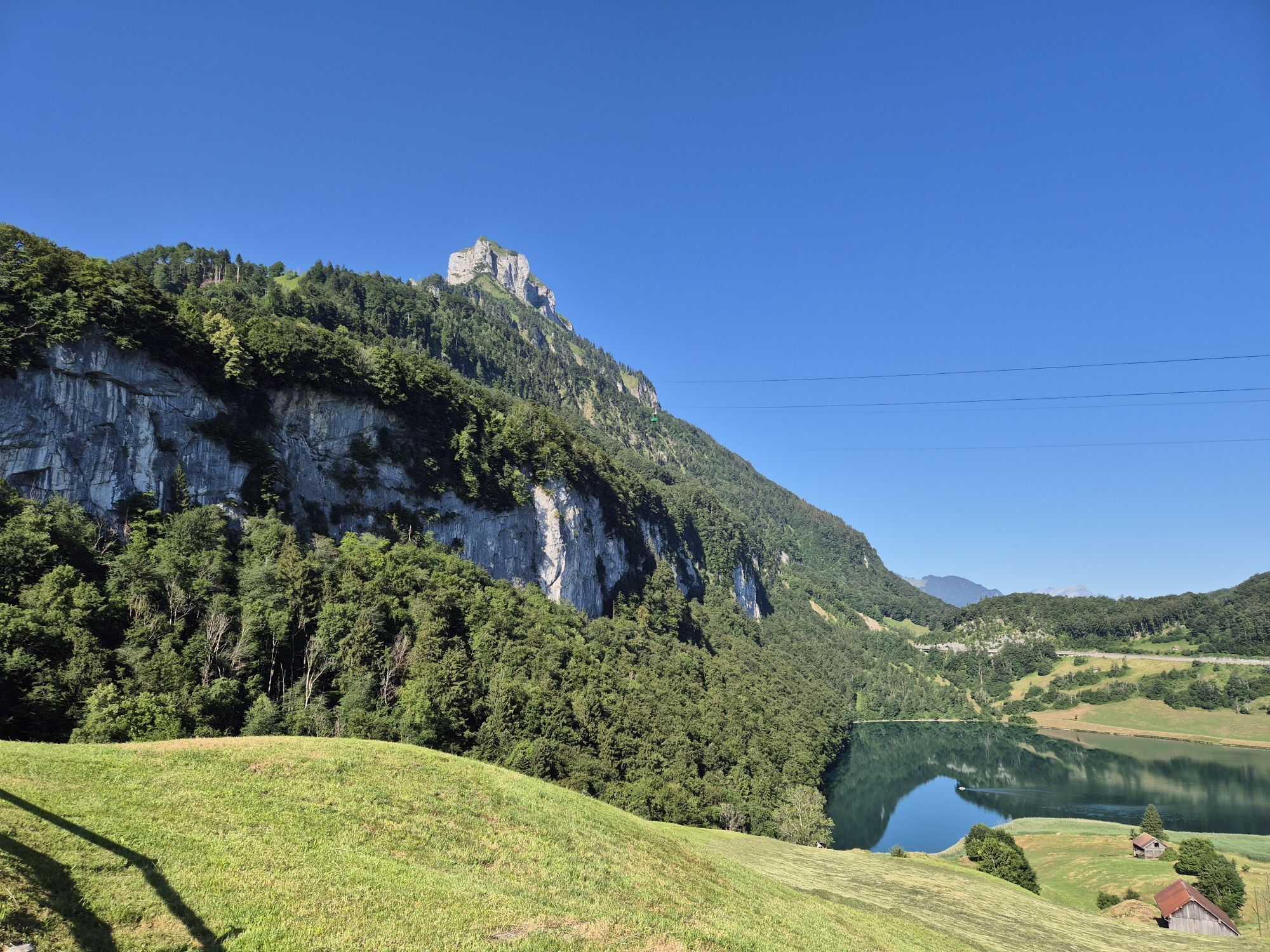
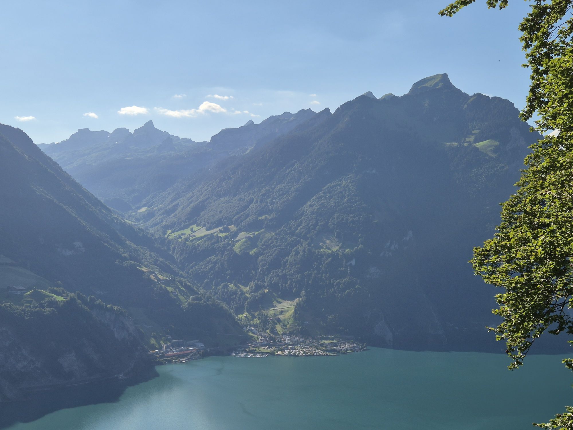
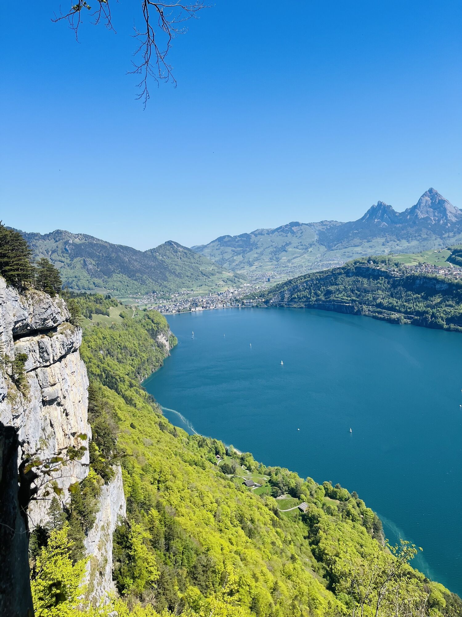
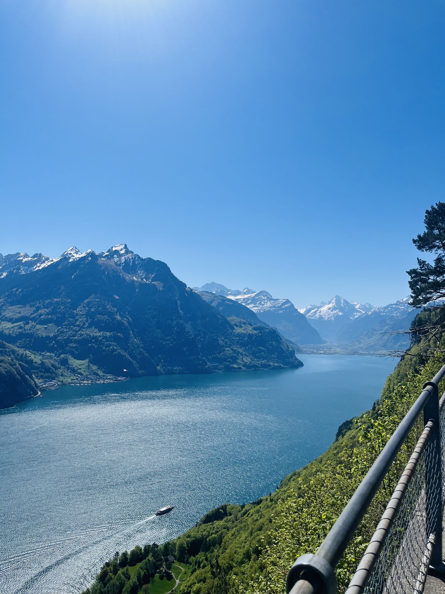
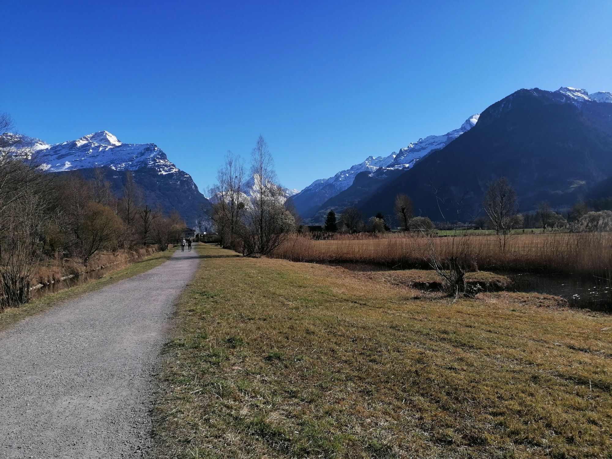
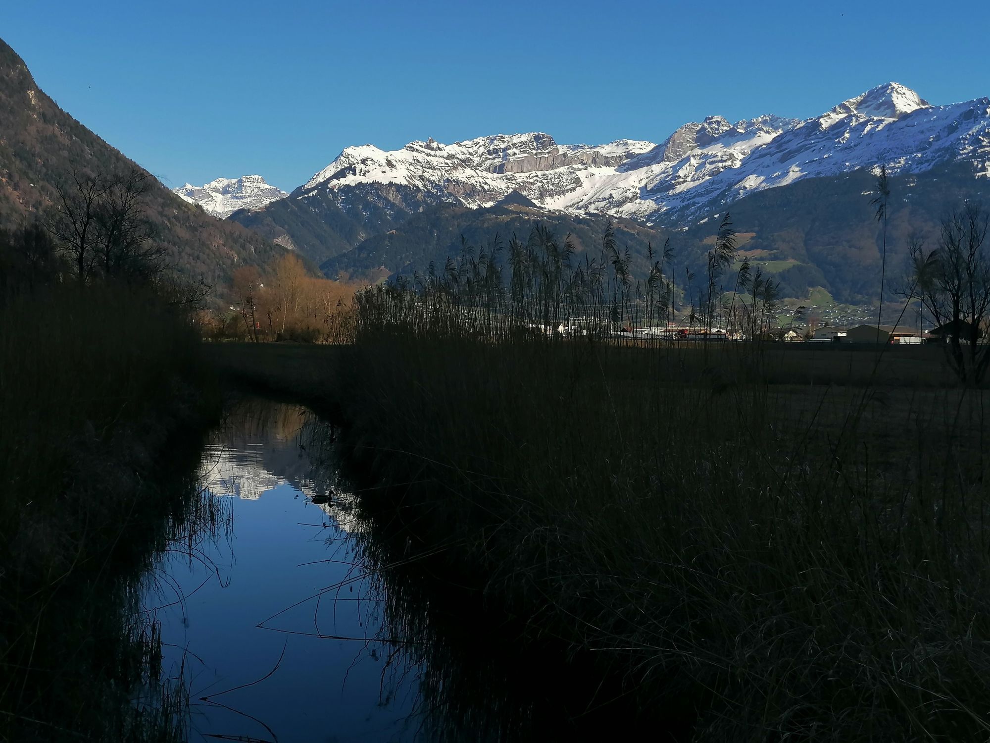
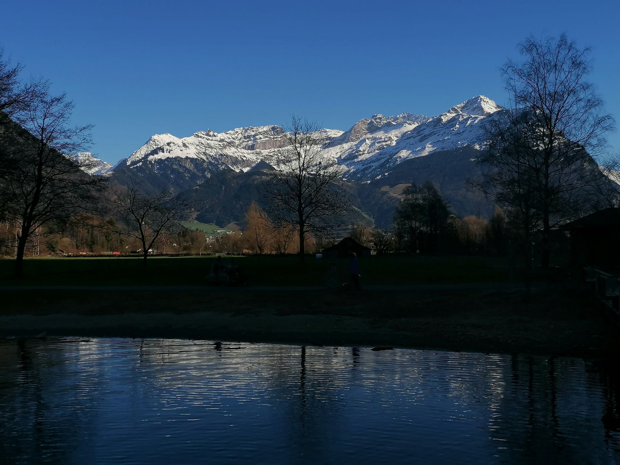
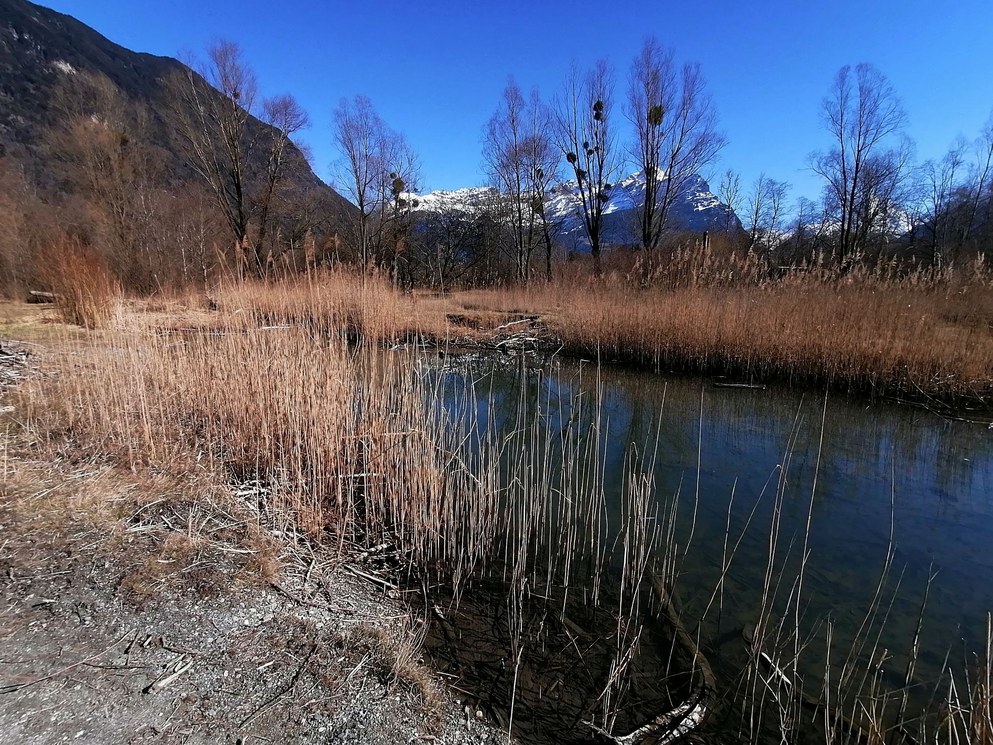
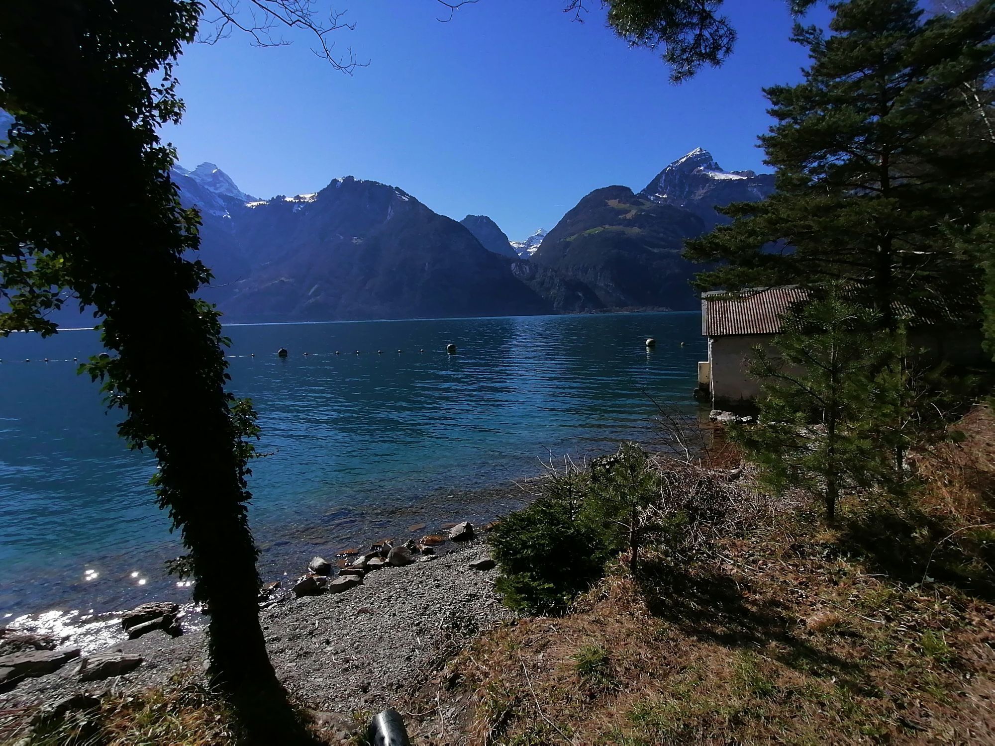
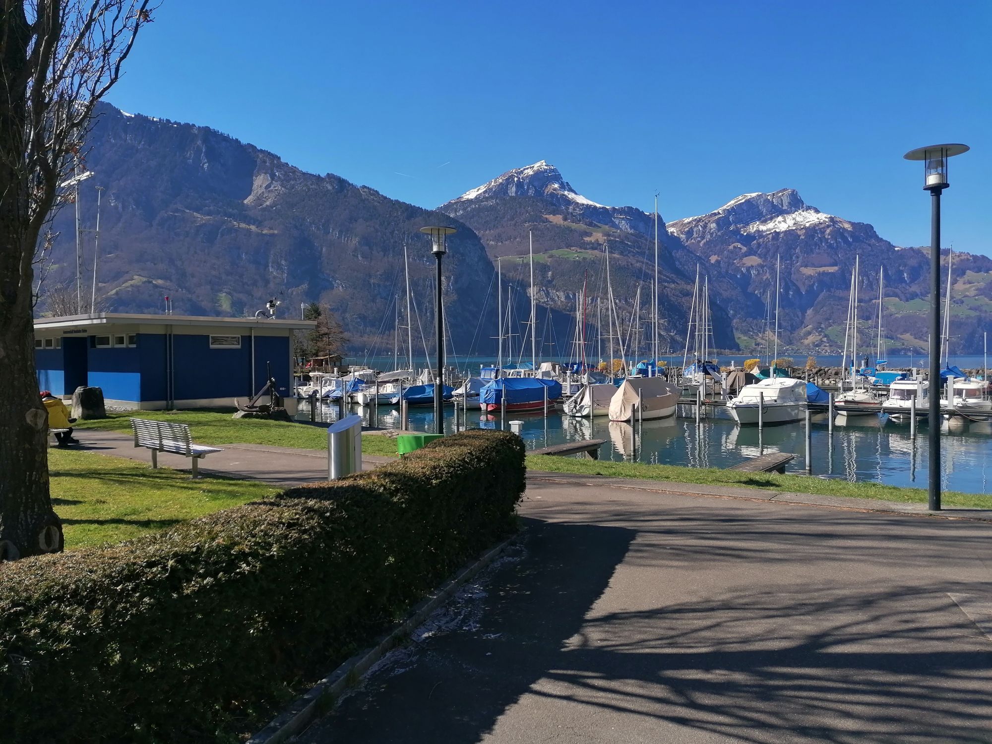
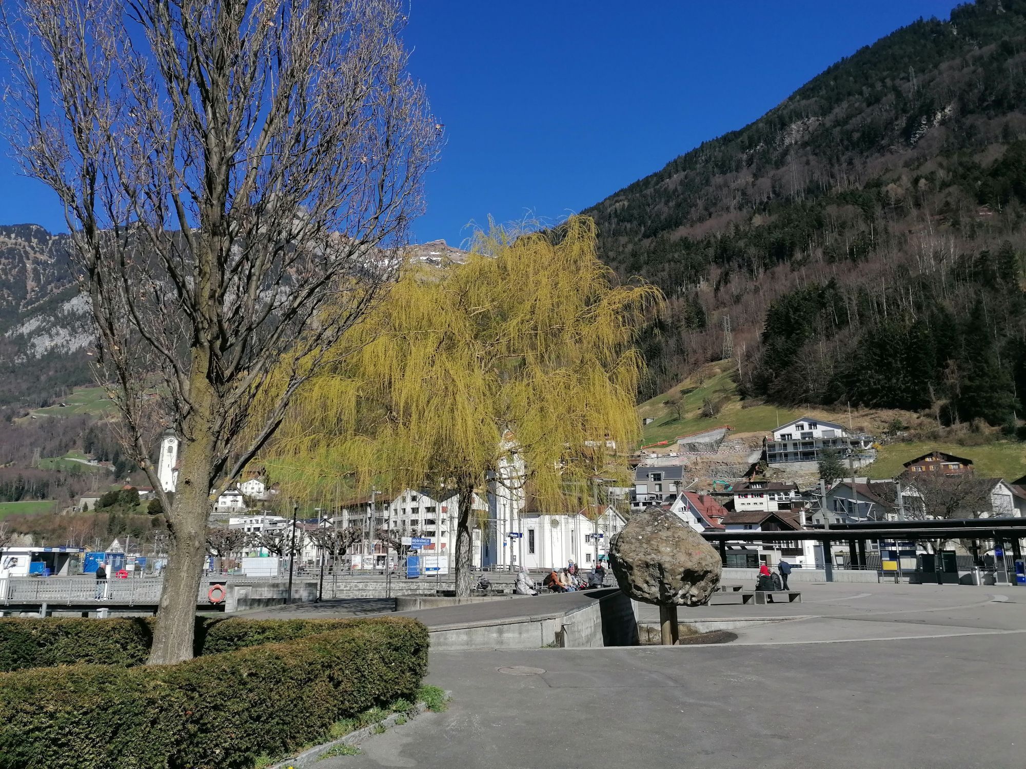
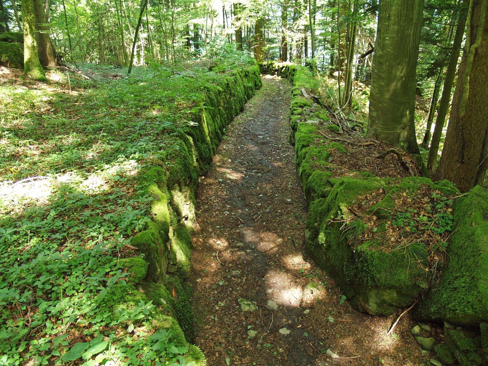
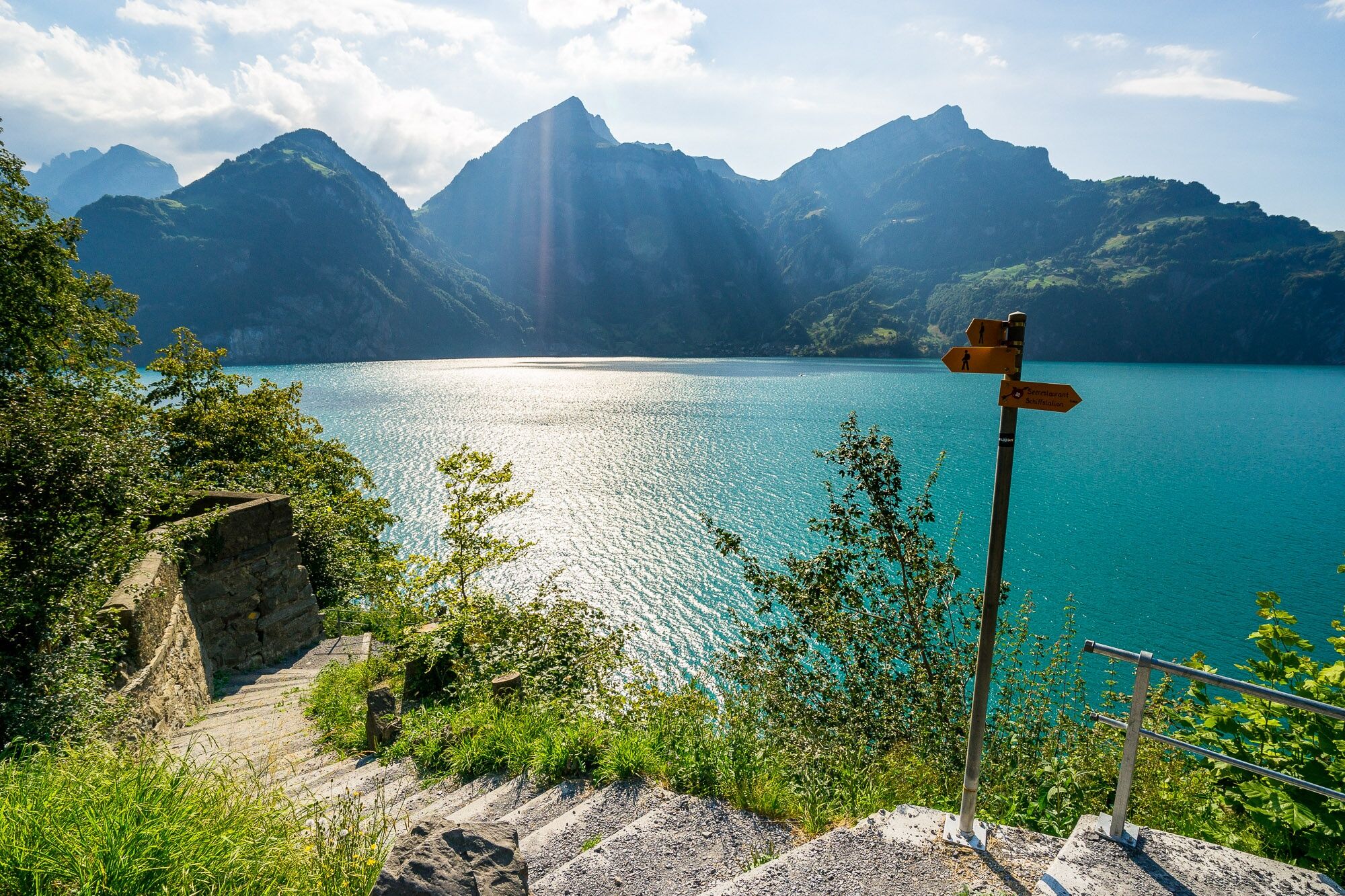
The Swiss Path winds around the deep Lake of Uri, sometimes high up, then again directly on the shore. Sometimes it leads you over steps carved into the rock, then it runs along wide, comfortable paths,...
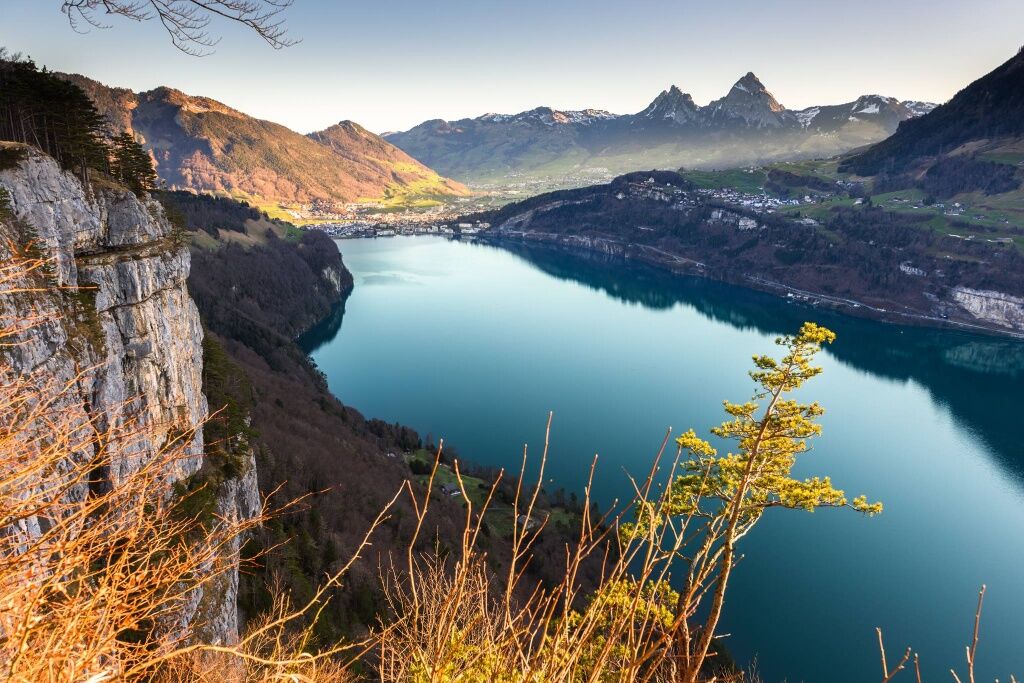
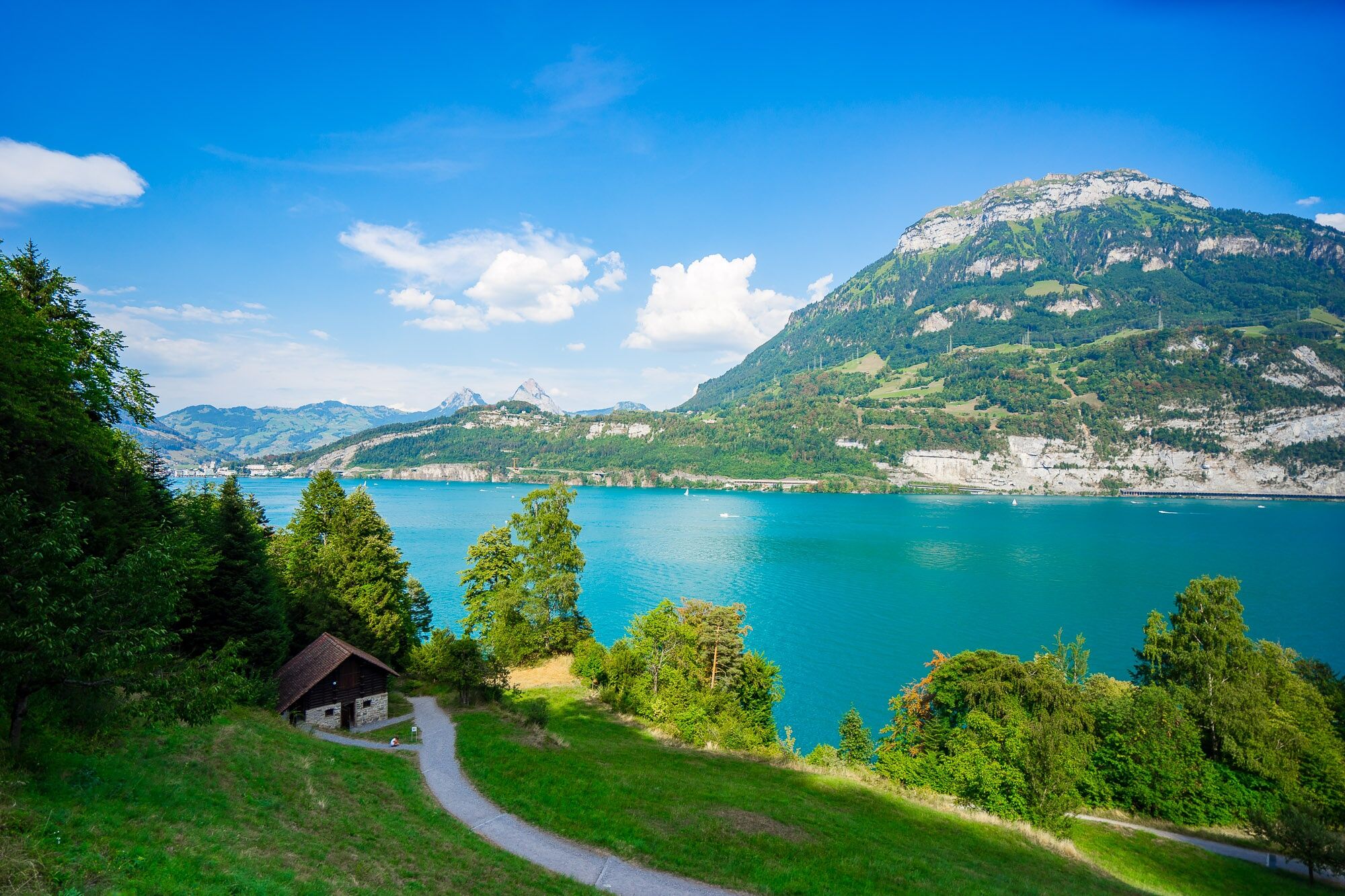
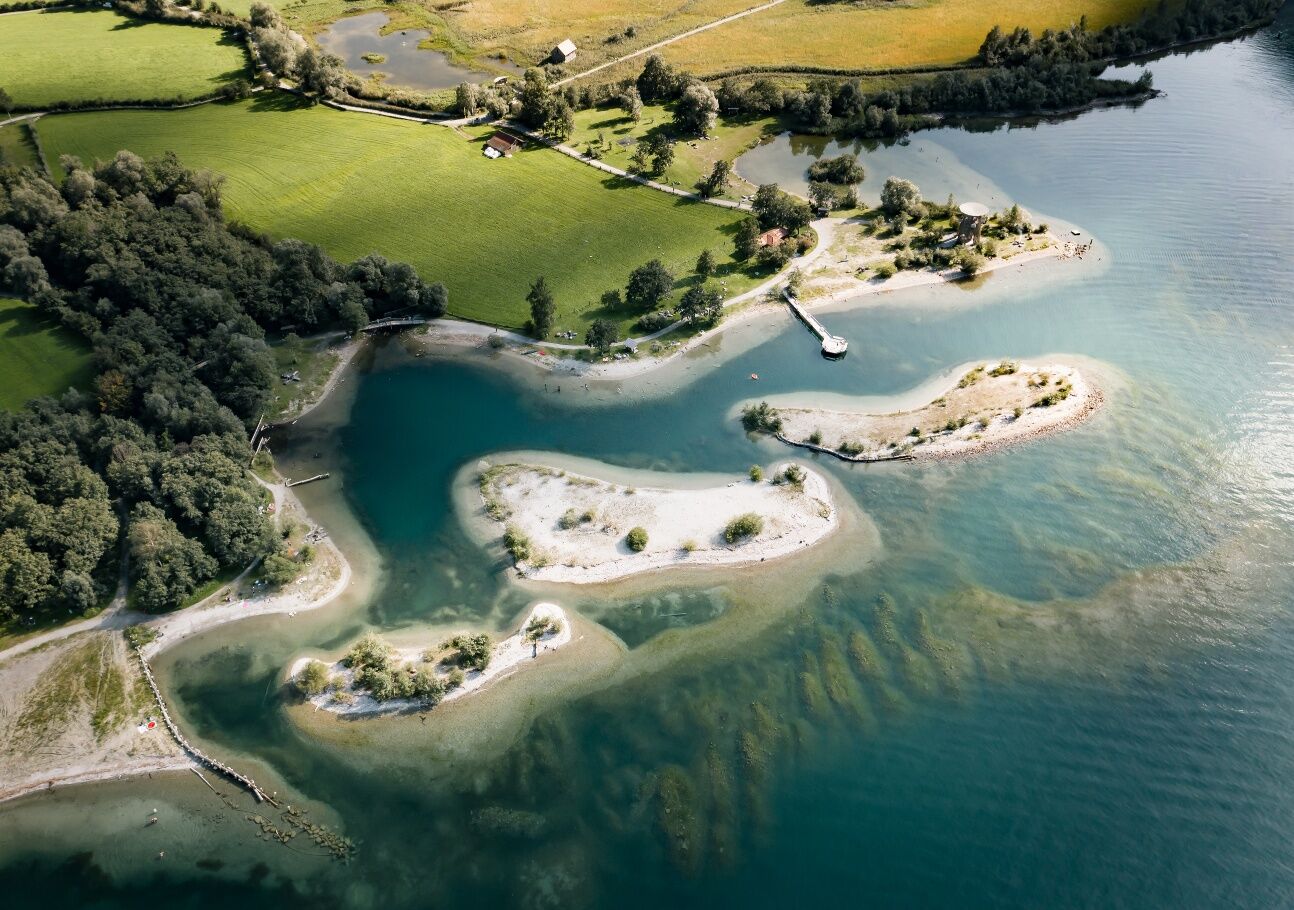
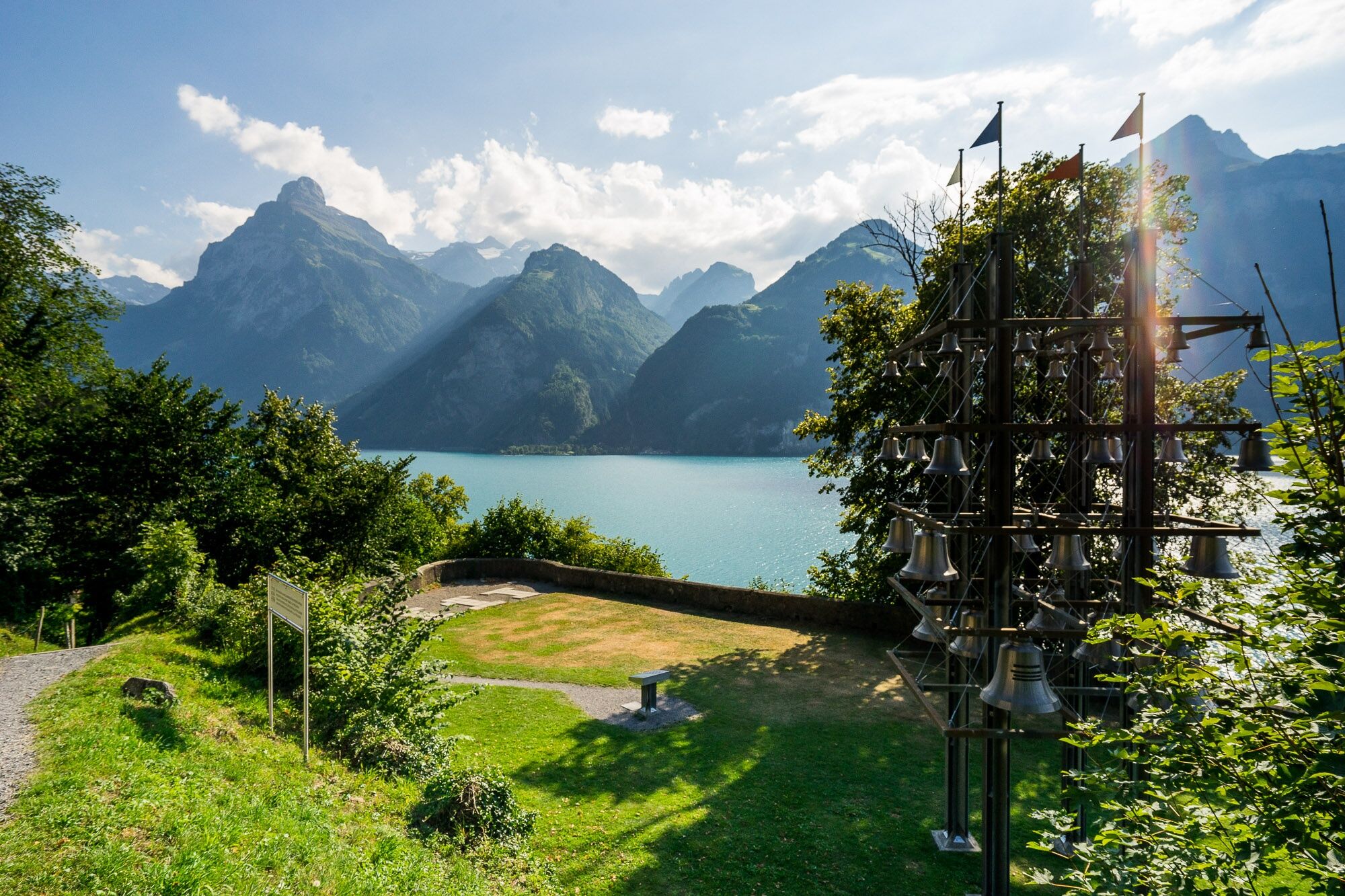
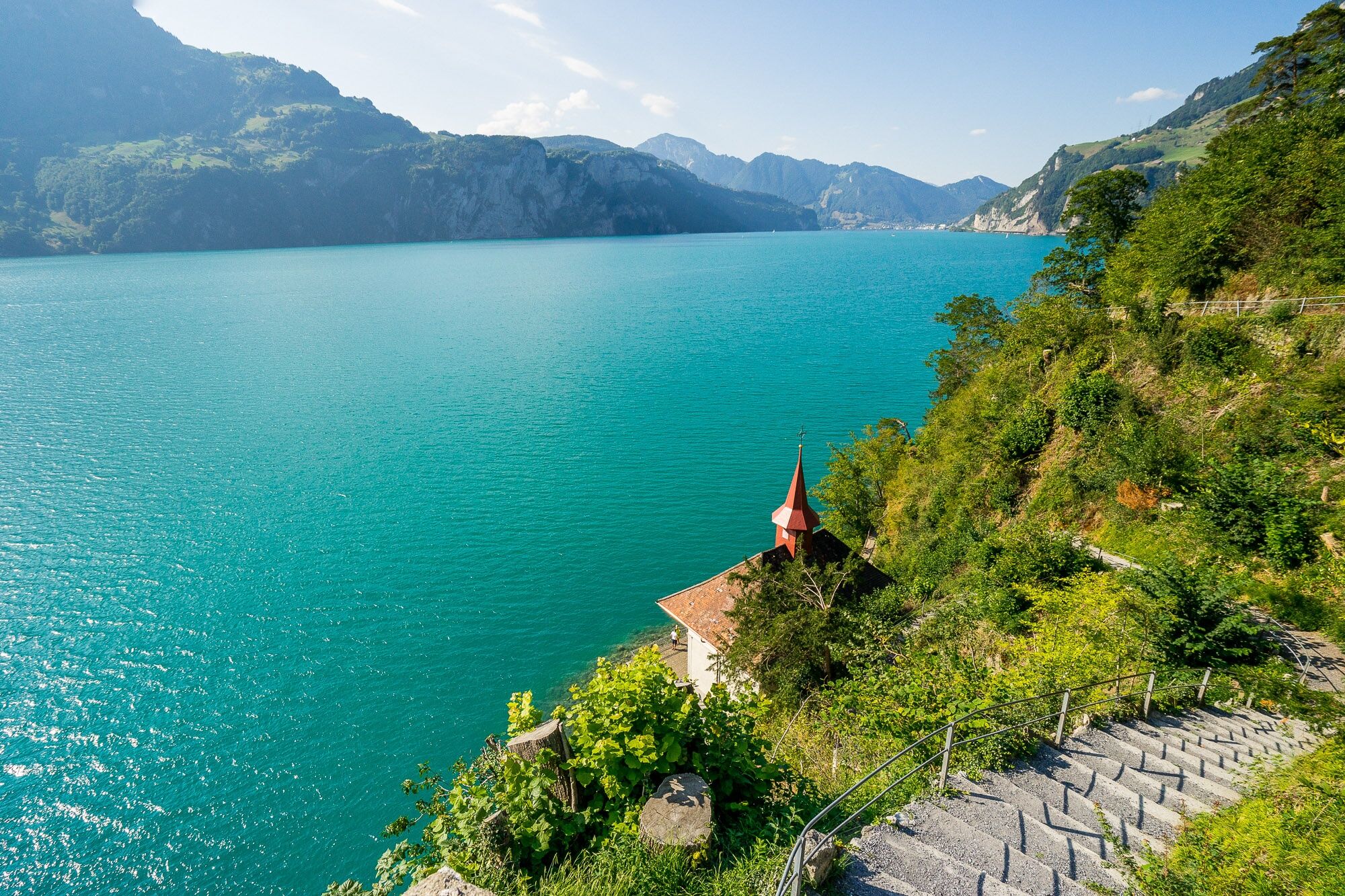
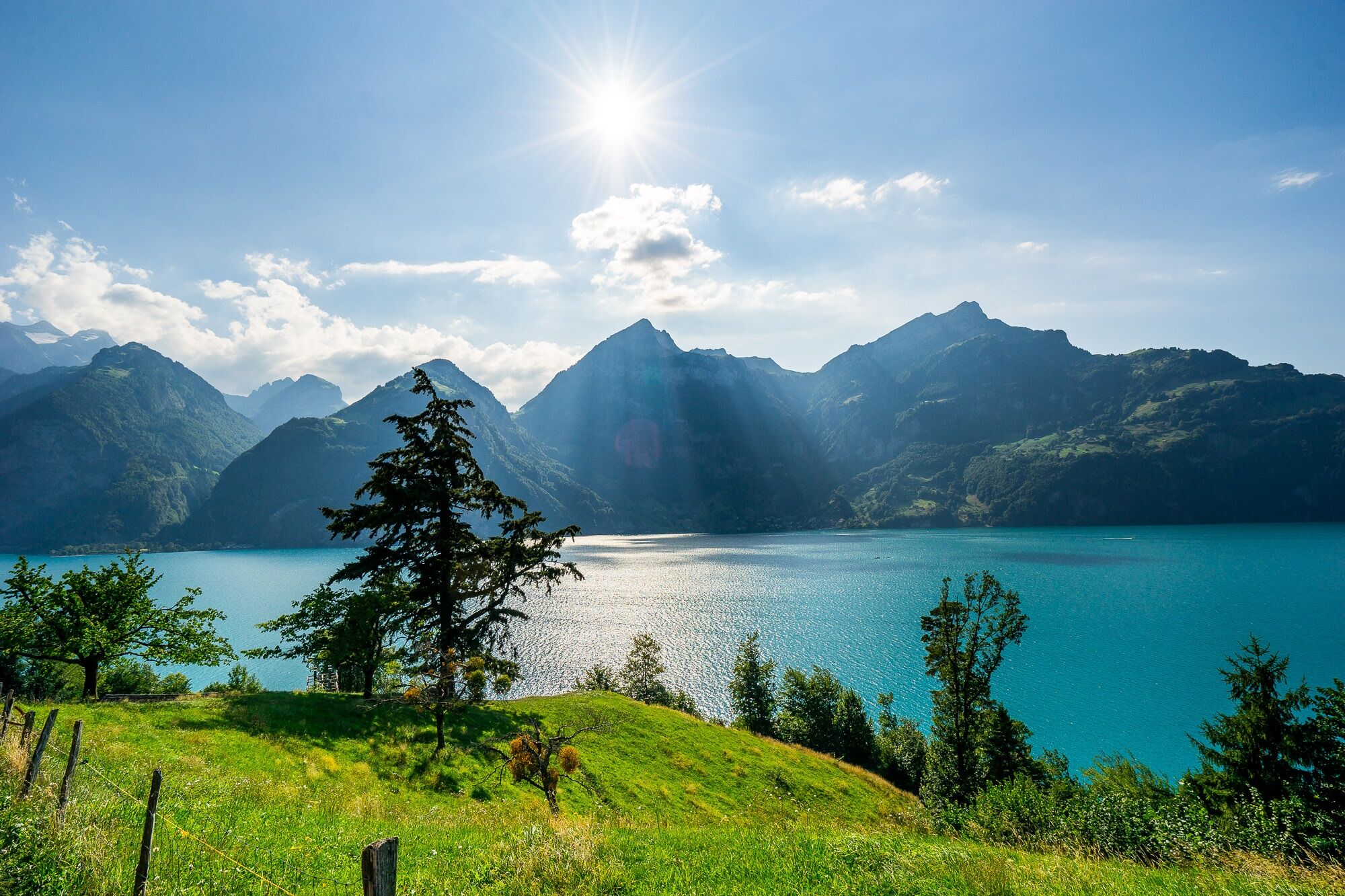
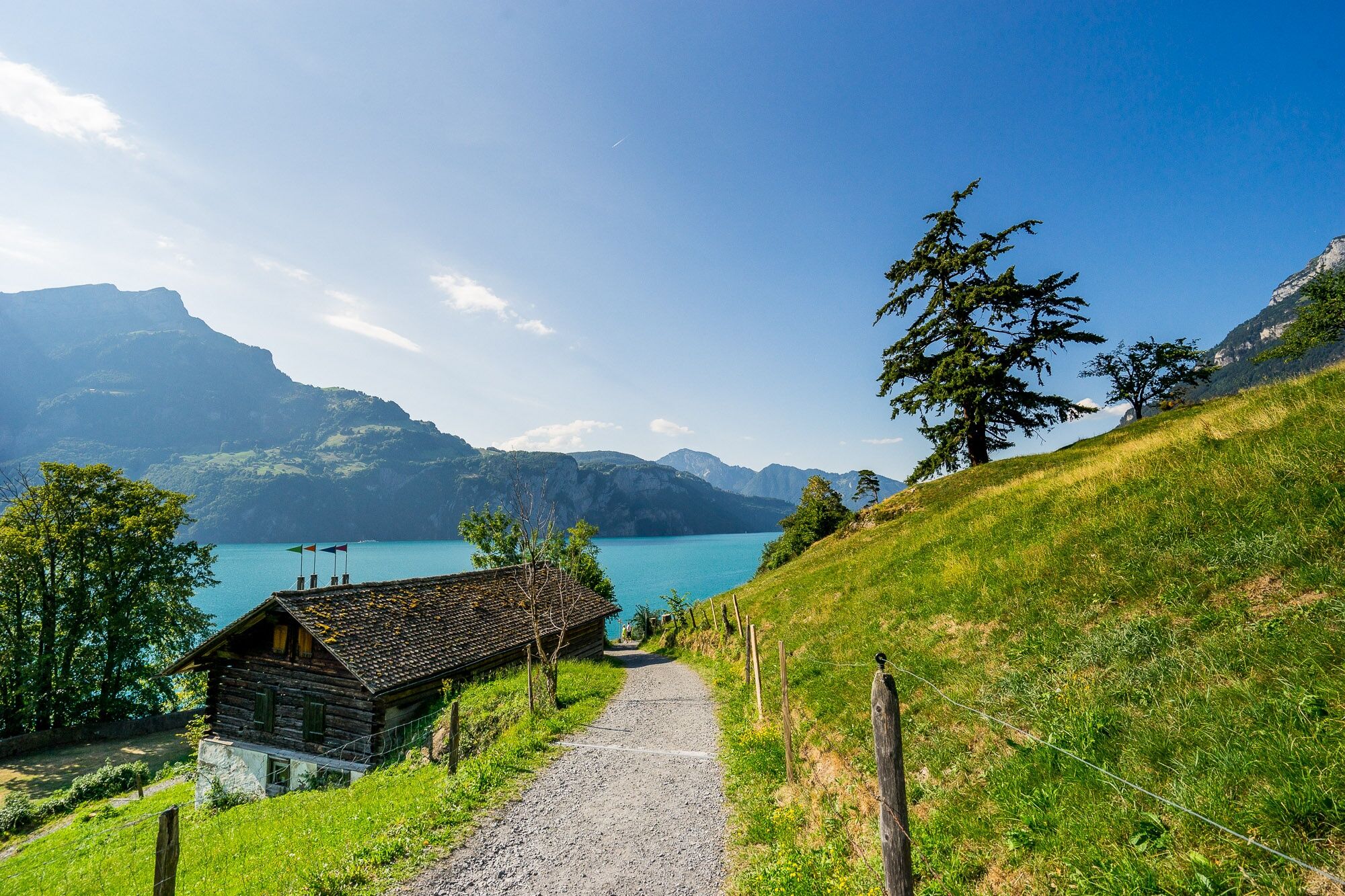
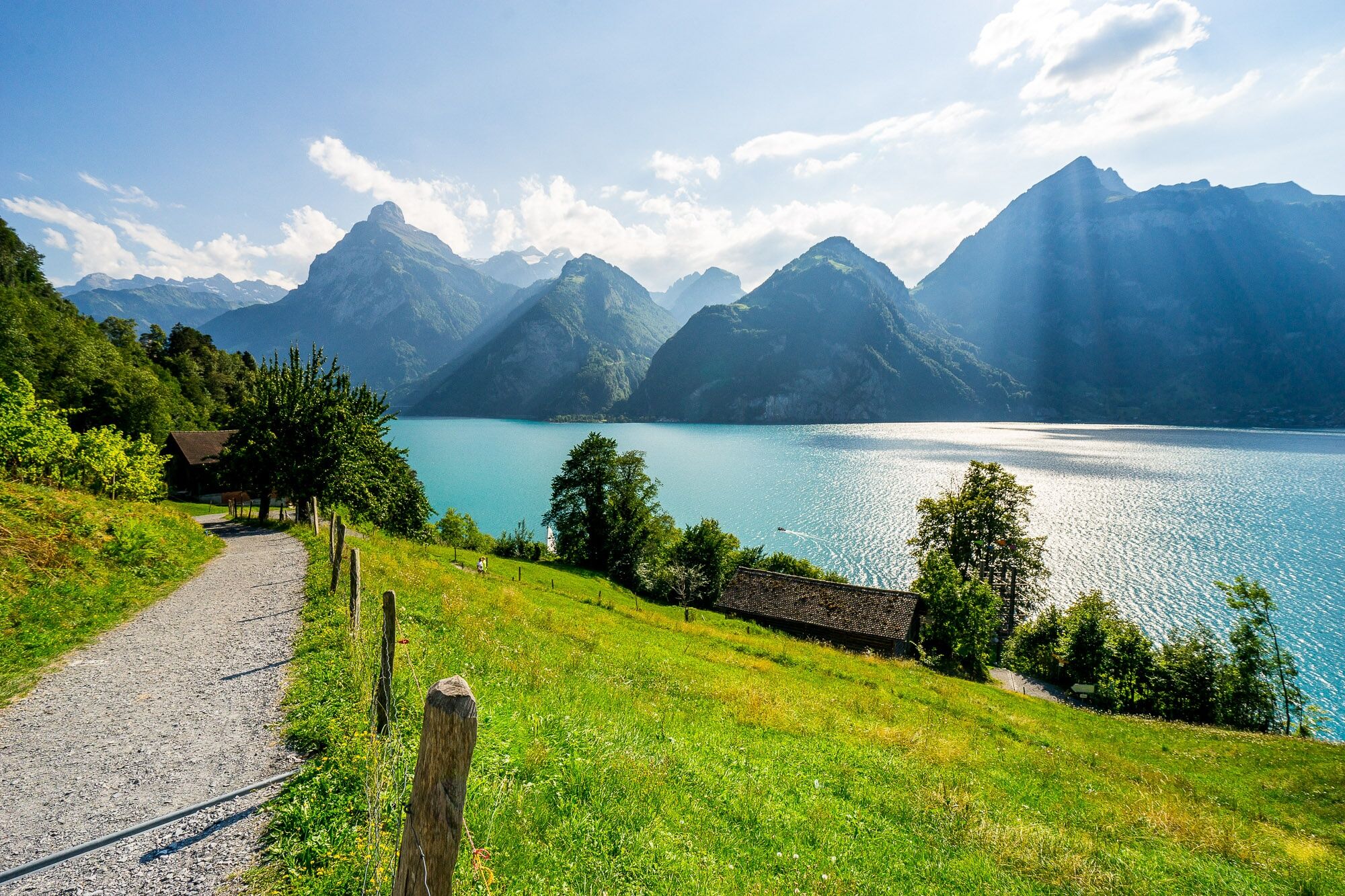
The Swiss Path winds around the deep Lake of Uri, sometimes high up, then again directly on the shore. Sometimes it leads you over steps carved into the rock, then it runs along wide, comfortable paths, past many resting and bathing places. Again and again you can enjoy a magnificent view of the lake and the surrounding mountains. Thanks to the boat service, you have a choice of many possible starting points and destinations.
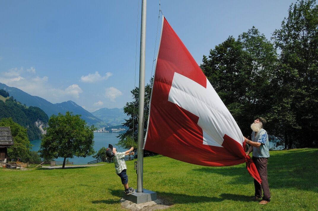
The initiators succeeded in linking a maximum sense of home with the trail. At the centre is the Rütli, an unspectacular meadow that is emotionally charged by historical symbolism like no other place in Switzerland. Tell's Plateau with the Tell's Chapel is also part of the obligatory visit programme.
The attachment of the Swiss to this path is further strengthened by the idea that the Swiss Path is divided into 26 cantonal sections. Their order results from the cantons' entry into the Confederation. The length of the cantonal sections, in turn, is based on the cantonal population in 1991, when each person was symbolically given 5 millimetres.

Seelisberg, Rütli – Bauen – Flüelen – Sisikon – Brunnen
Wanderkarte «Weg der Schweiz» 1:25 000 / Bundesamt für Landestopografie, Swisstopo.
ISBN 978-3-302-32599-6
Wanderschuhe mit gutem Profil oder Trekkingschuhe, Regenjacke, Getränk, Verpflegung, eventuell Stöcke.
Die Autobahn von Zürich und Luzern führt via Rotkreuz direkt nach Brunnen. Parkplätze sind im Ortskern von Brunnen signalisiert.
Schiff. Die meisten Besucherinnen und Besucher kommen mit dem Schiff aufs Rütli. Die kürzeste Verbindung über den See ist jene von Brunnen. Sie dauert lediglich zehn Minuten. Die Schiffe verkehren regelmässig. Wer sich eine längere Schiffsreise gönnen mag, kann das Schiff bereits ab Luzern besteigen. Auch vom südlichen Ende des Urnersees fahren regelmässig Kursschiffe ab Flüelen zum Rütli. Genaue Abfahrtszeiten sowie Informationen zu Rundfahrten findest du hier: www.lakelucerne.ch
Bahn und Bus. Aus Zürich und Luzern gelangt man im Stunden- und Halbstunden-Takt nach Brunnen. Ebenso aus dem Tessin. Vom Bahnhof Brunnen zum Schiffsteg gibt es einen Bus. Aber zu Fuss erreicht man das Ufer des Vierwaldstättersees gemütlich in nur 7 Minuten. www.sbb.ch
See-Taxi. Falls du zu einer ganz bestimmten Uhrzeit zum Rütli fahren oder das Rütli verlassen möchtest, gibt es in Brunnen auch ein See-Taxi. Das Boot kann 7 Personen aufnehmen. Die 10-minütige Fahrt zum Rütli kostet ca. CHF 100.-. Mehr Informationen unter: Speedy Taxiboot. Von der Schiffstation Rütli gelangst du entweder auf dem Kiesweg oder über die Treppen zu Fuss in 7-10 Minuten zum Schwurplatz und zur Rütliwiese.
Muotaplatz – Gersauerstrasse 56 – 6440 Brunnen
P+Rail Brunnen – Bahnhofstrasse 46 – 6440 Brunnen
You can combine different sections of the walk just as you like. Each section location is connected to another by boat, bus or train, making your walk into a pleasant outing.Section 1: Seelisberg, Rütli – BauenSection 2: Bauen – FlüelenSection 3: Flüelen – SisikonSection 4: Sisikon – BrunnenAlternative: Bauen – Isenthal – Isleten


Webové kamery z prohlídky
-
Stoos - Fronalpstock
-
Stoos - Fronalpstock
-
Obere Eggberge
-
Stoos Dorf
-
Stoos Dorf
-
Brunnen am Vierwaldstättersee
-
Morschach
-
Berggasthaus Alp Catrina
-
Skilift Brüsti
-
Altdorf
-
Altdorf
-
Bergstation Ruogig
-
Bürglen
-
Gleitschirm Landeplatz Emmetten
-
Gleitschirm Landeplatz Emmetten
-
Isleten - Bauen
-
Bootshafen Flüelen
-
Bootshafen Flüelen
-
Seedorf Hafen Bolzbach
-
Rütliwiese
-
Skilift Bergstation
Získejte přehled
Vždy živě na místě s více než 9 500 webkamerami. bergfex Jako uživatel Pro si nyní můžete zobrazit odpovídající webové kamery pro mnoho prohlídek v aplikaci prohlídky z. Můžete si tak přímo prohlédnout aktuální podmínky.
Oblíbené prohlídky v okolí
-
4.6
Gratwanderung Klingenstock
světloTuristika 9.36 km -
4.6
Rundwanderung
světloHorská turistika 12.9 km -
4.8
Rundwanderung: Alplersee - Rophaien - Spilauersee - Lidernenhütte
heavyTuristika 15.5 km -
5.0
Morschach-Fronalpstock-Stoss, Schweiz
středníTuristika 16.6 km -
4.7
Gitschen
heavyTuristika 13.7 km -
5.0
Arnisee - Sunniggrathütte - Ruchälplistock - Leidseepass - Leutschachhütte - Arnisee
heavyTuristika 13.2 km -
4.5
Riemenstalden - Alpler See - Rophaien - Äbneter Stöckli - Riemenstalden
heavyTuristika 14.5 km -
3.5
Logenplatz über dem Vierwaldstädter See
středníVia ferrata 8.87 km -
5.0
Grotzliweg Fürenalp
světloTuristika 3.20 km -
5.0
Emmetten/Niederbauen - Niederbauen Chulm - Hundschopf - Fulberg - Oberbauenstock - Zingel - Wandeli - Choltal - Emmetten
středníTuristika 18.4 km
Pěší turistika a stopování


Nenechte si ujít nabídky a inspiraci pro vaši příští dovolenou
Vaše e-mailová adresa byl přidán do poštovního seznamu.





