




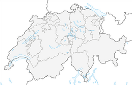


Jura Ridgeway: From Baden to the Geissfluegrat
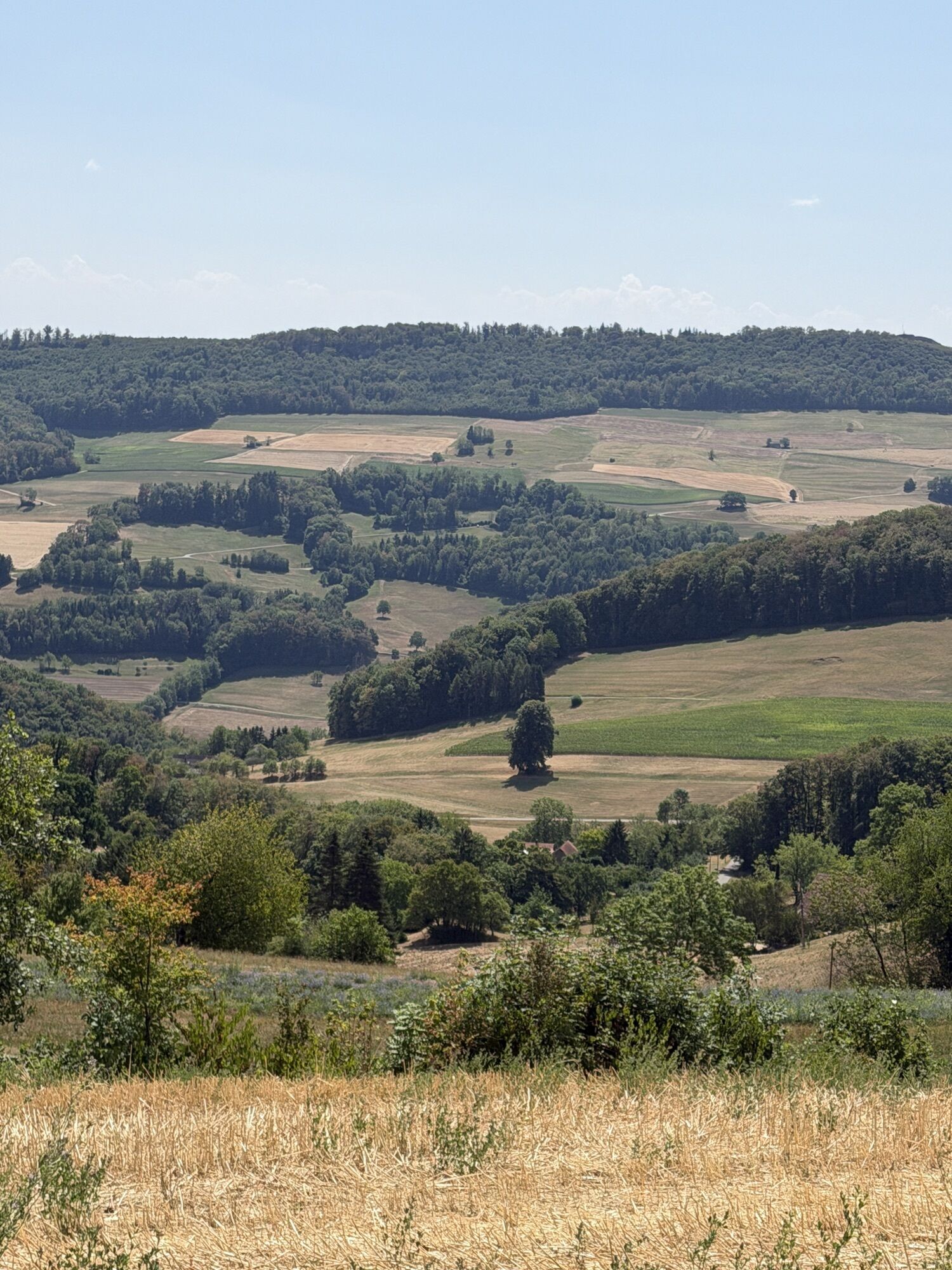
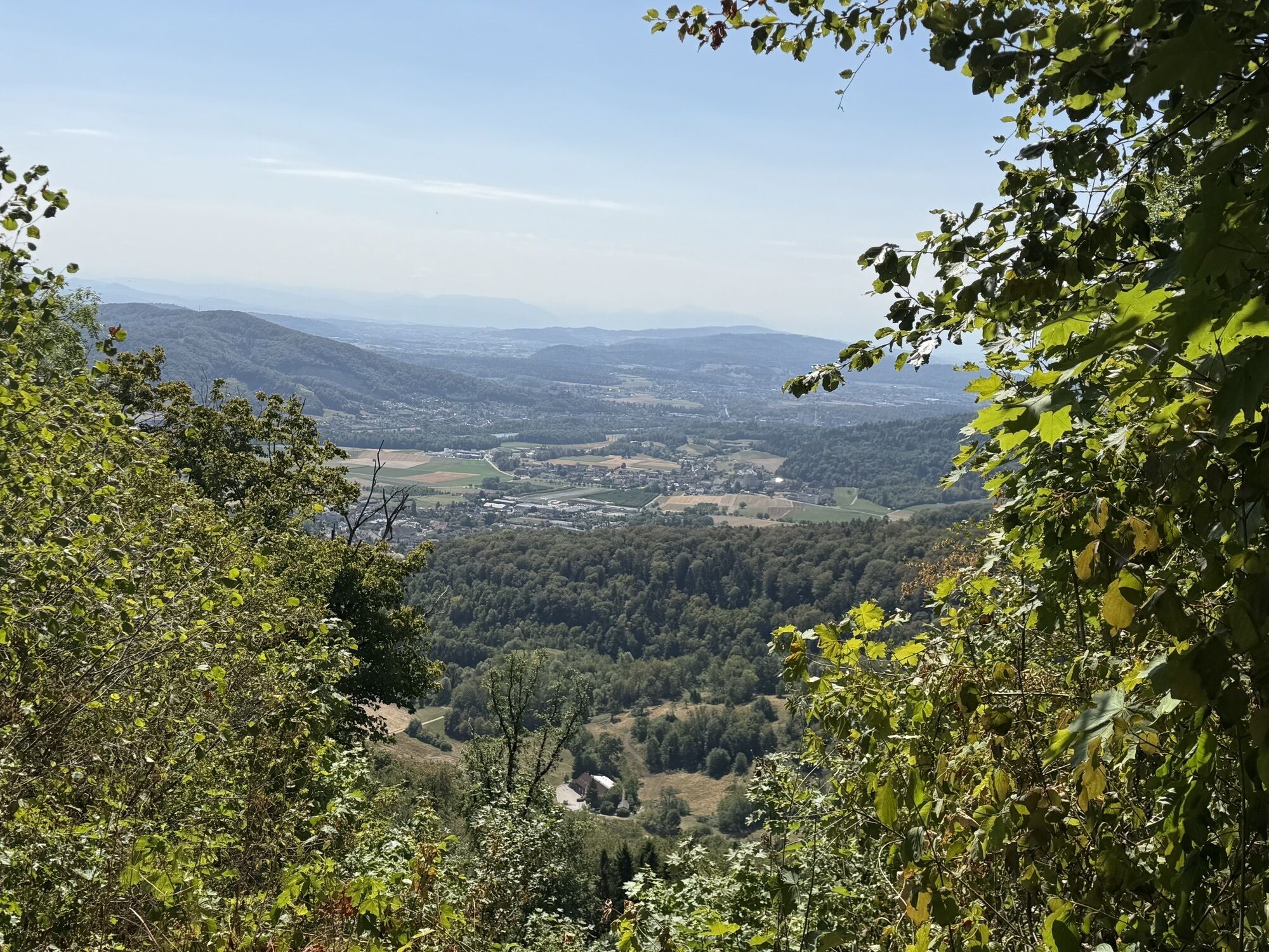
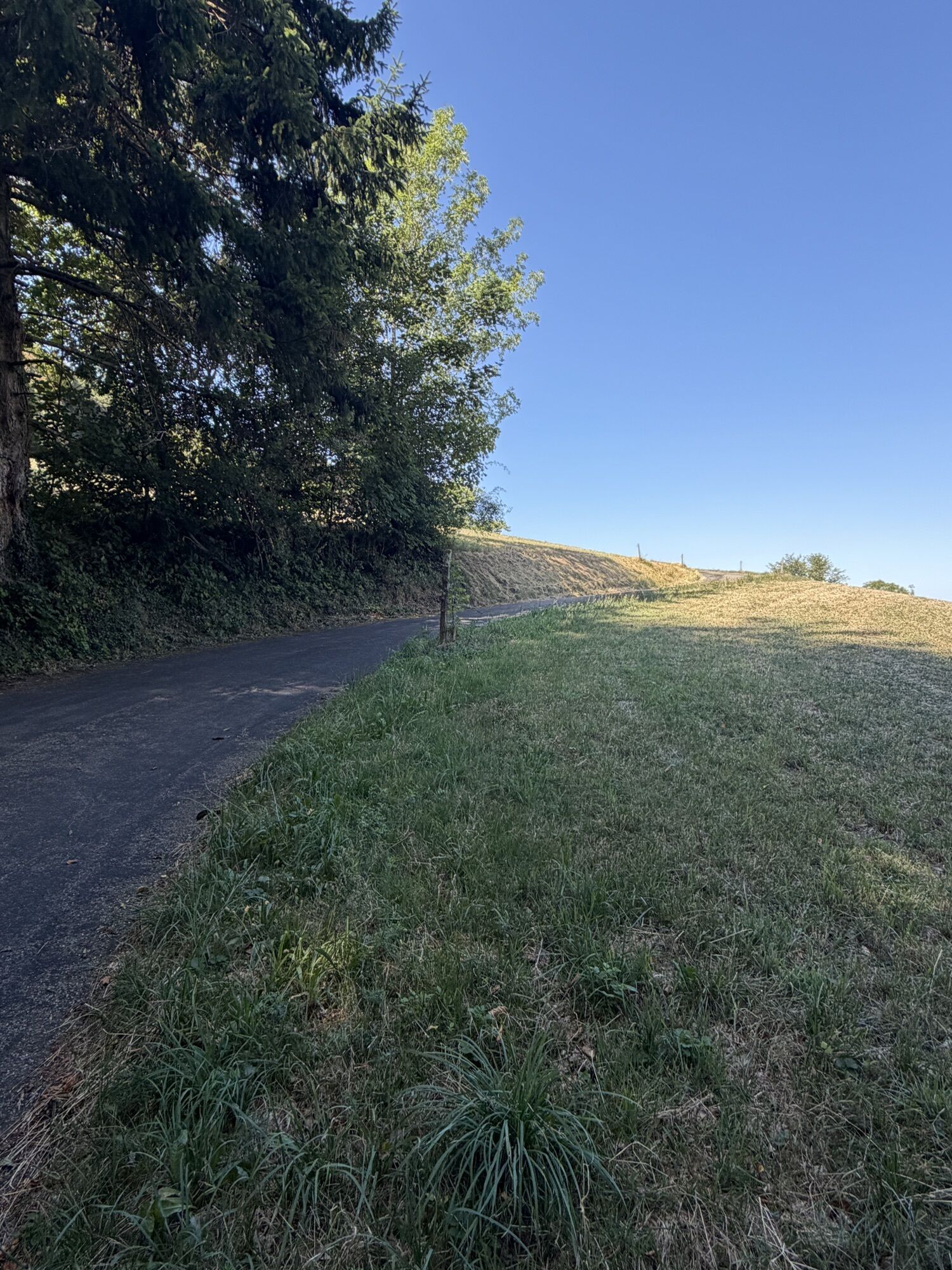
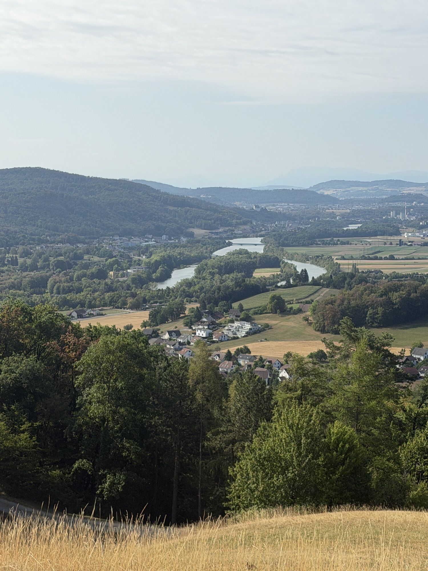
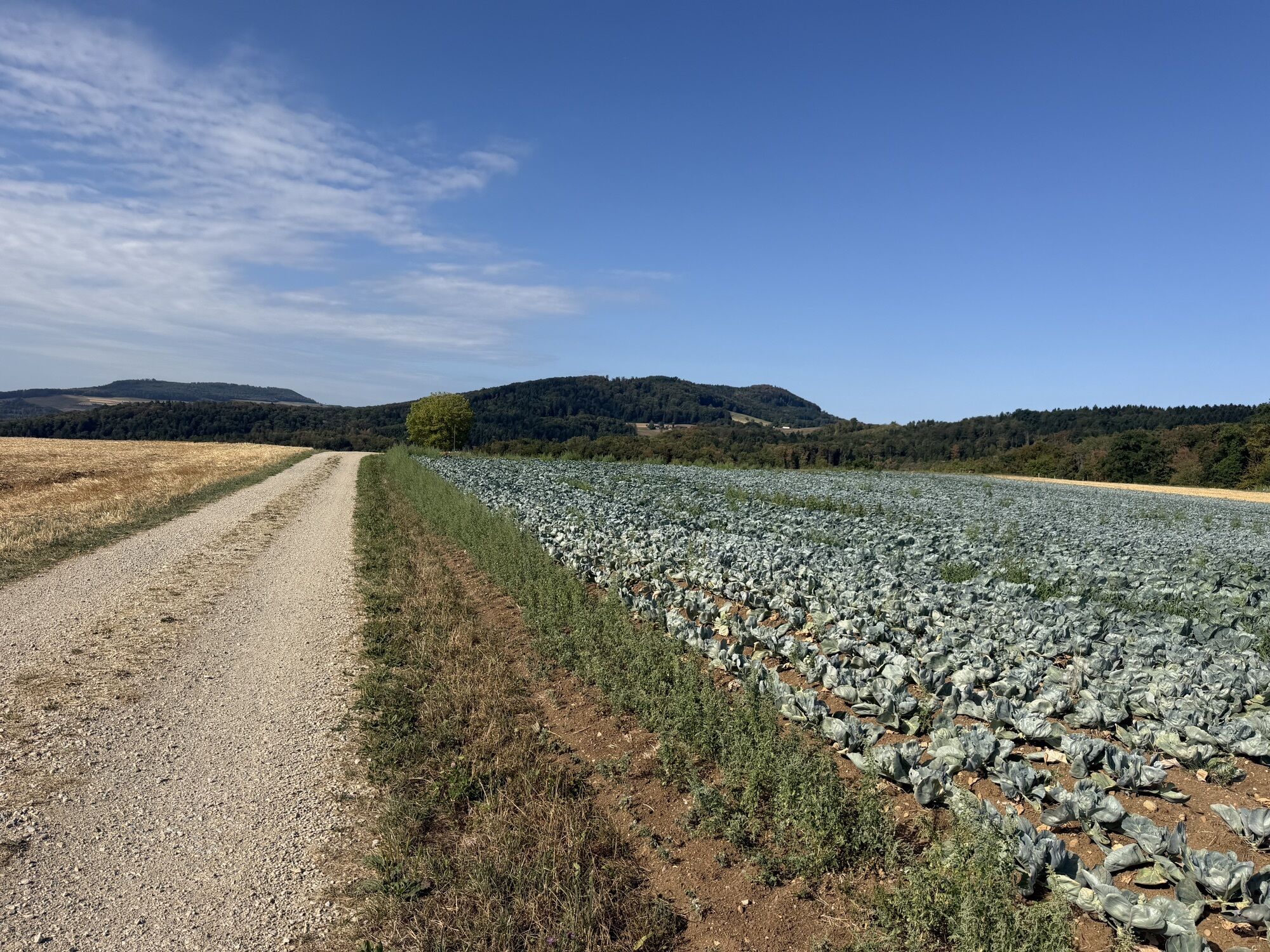
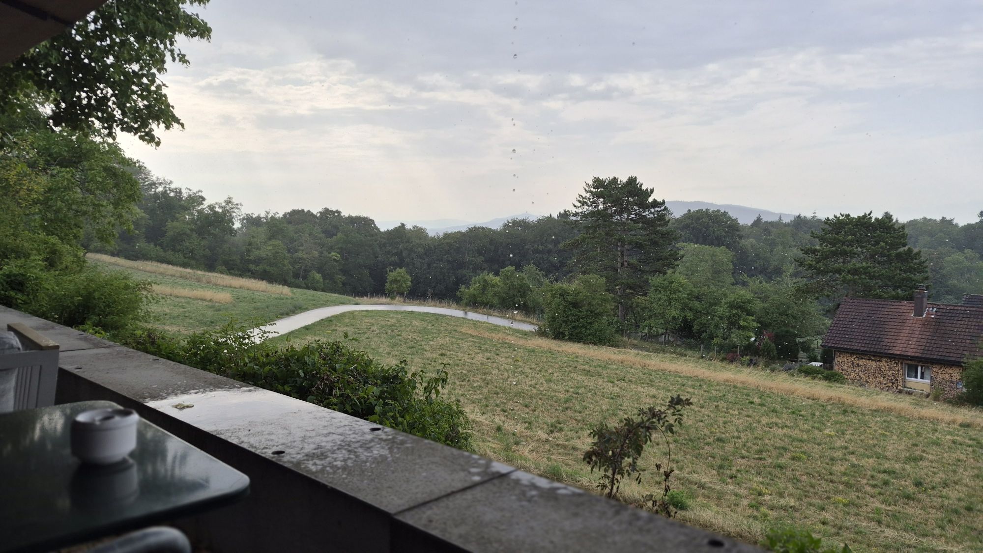
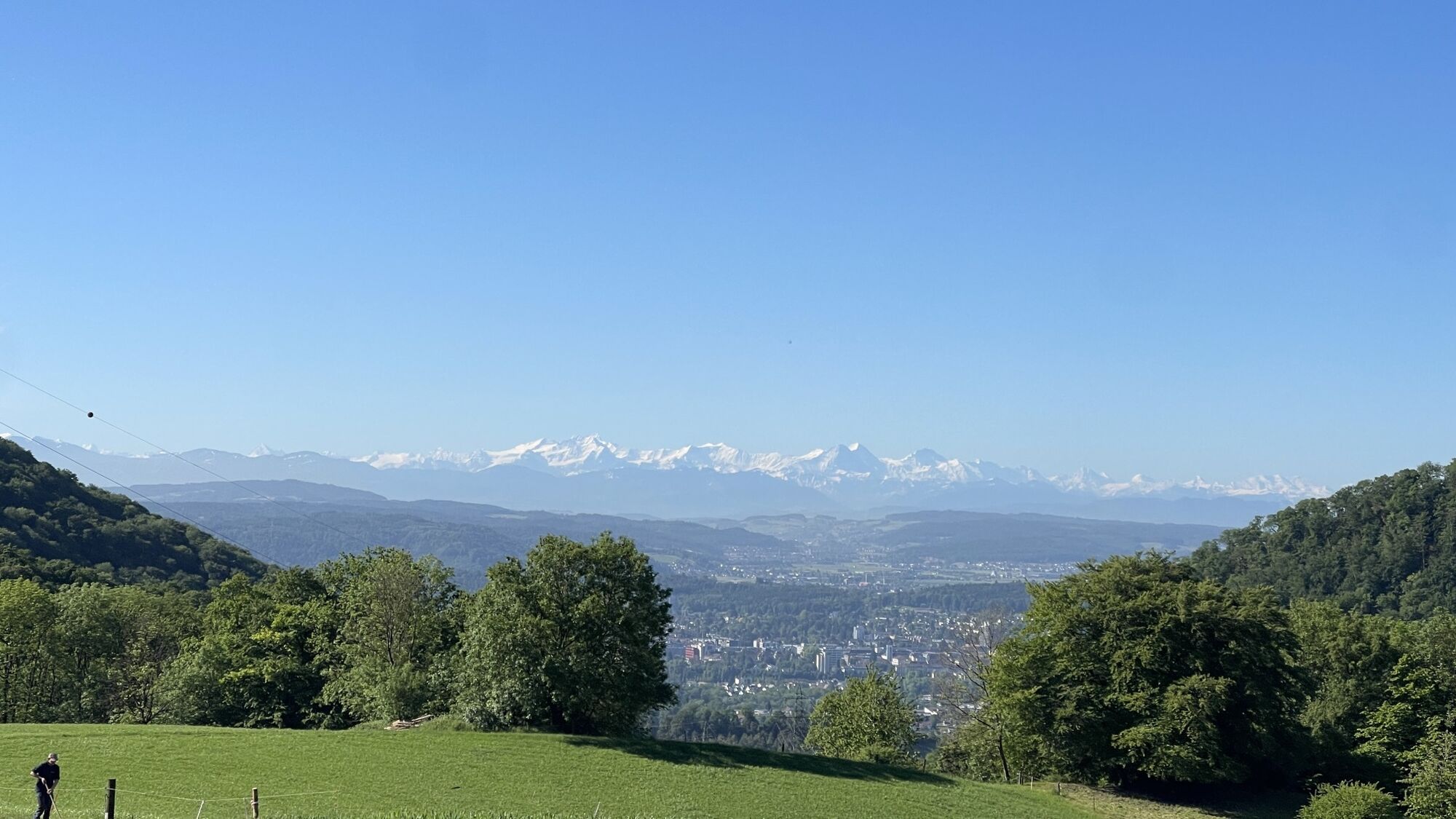
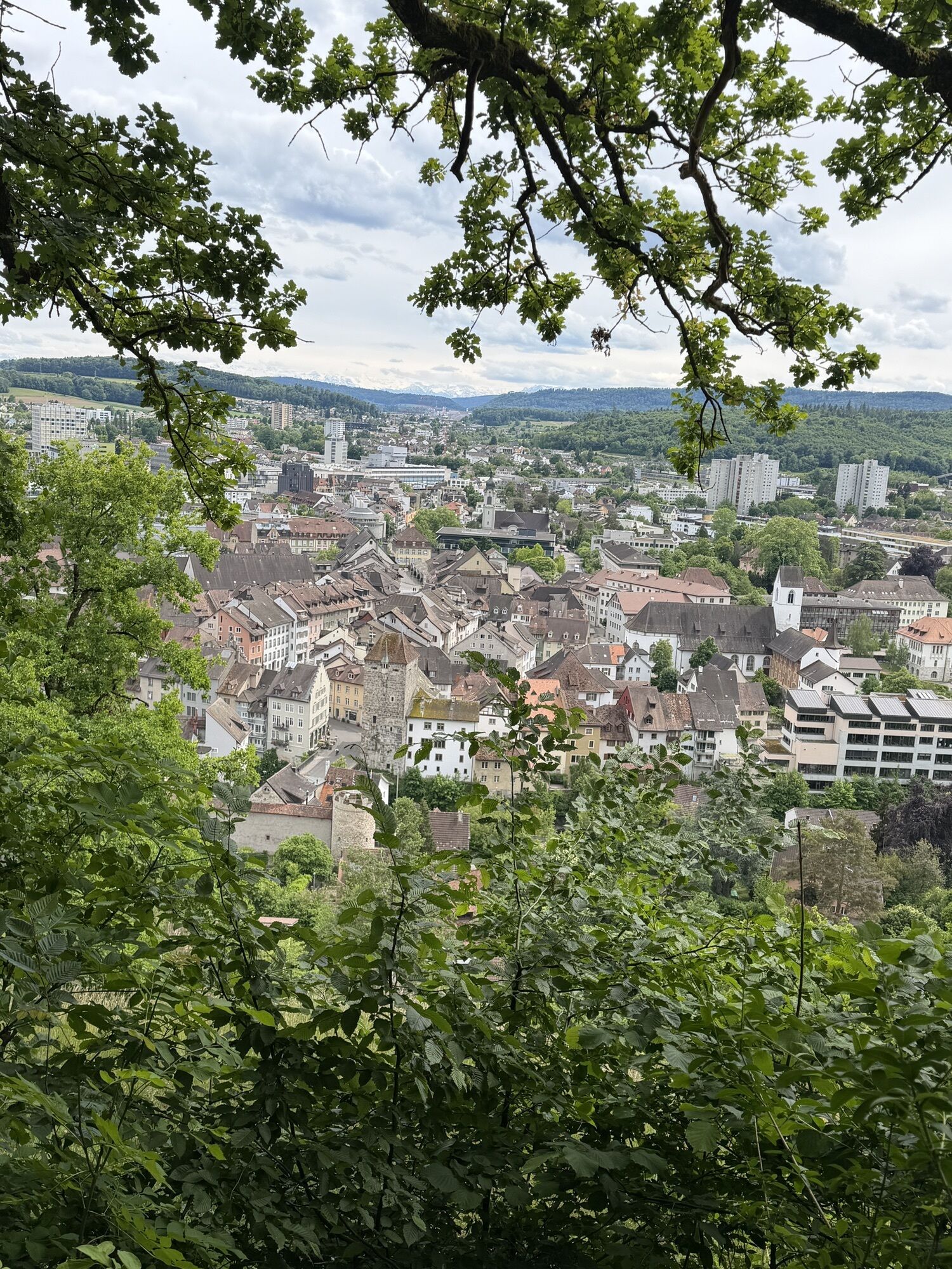


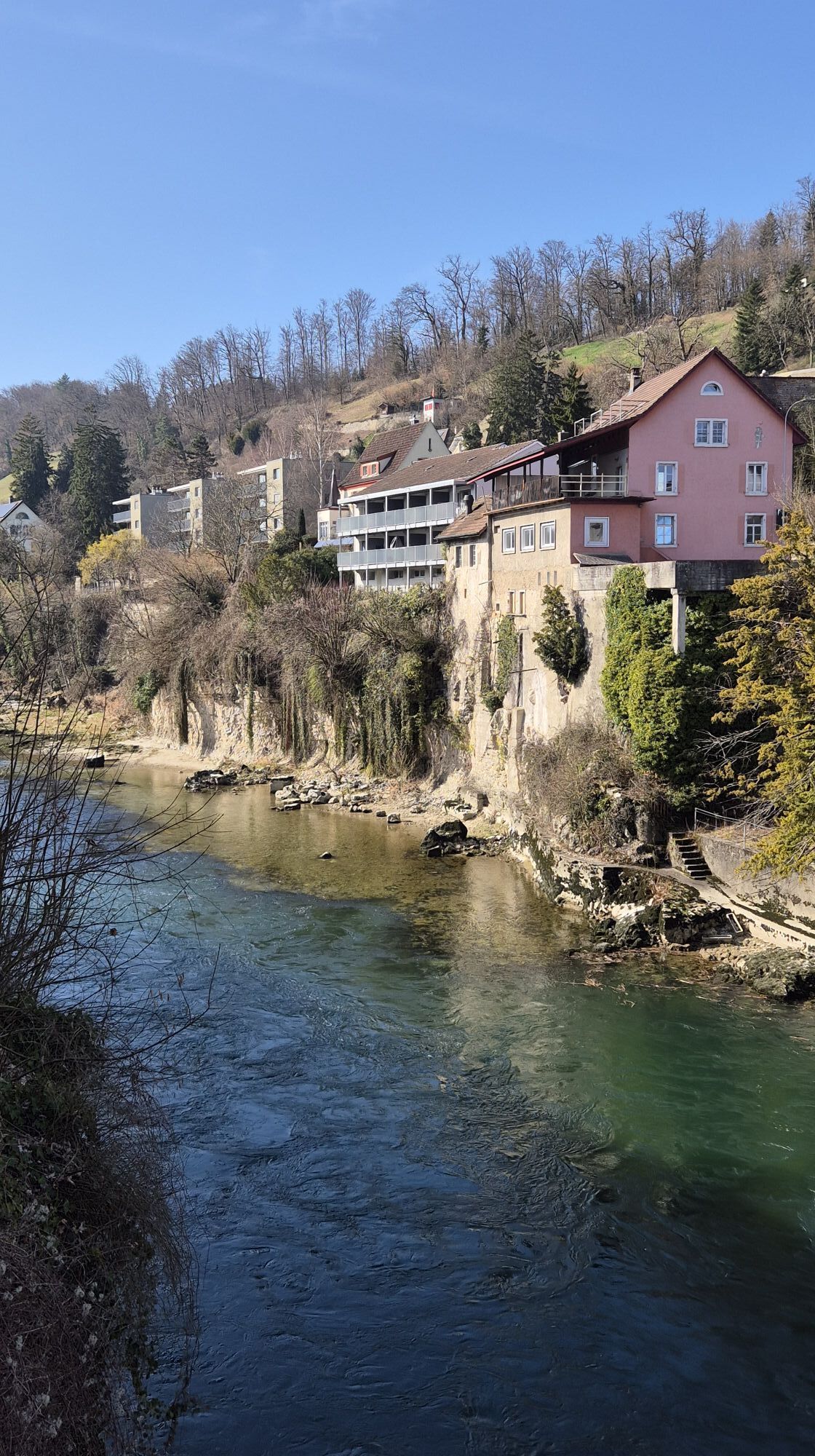
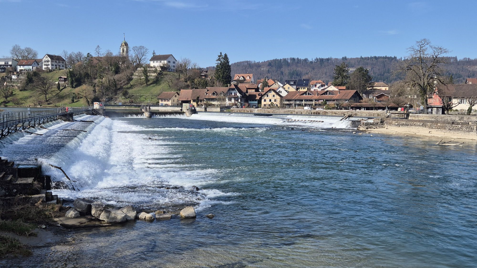
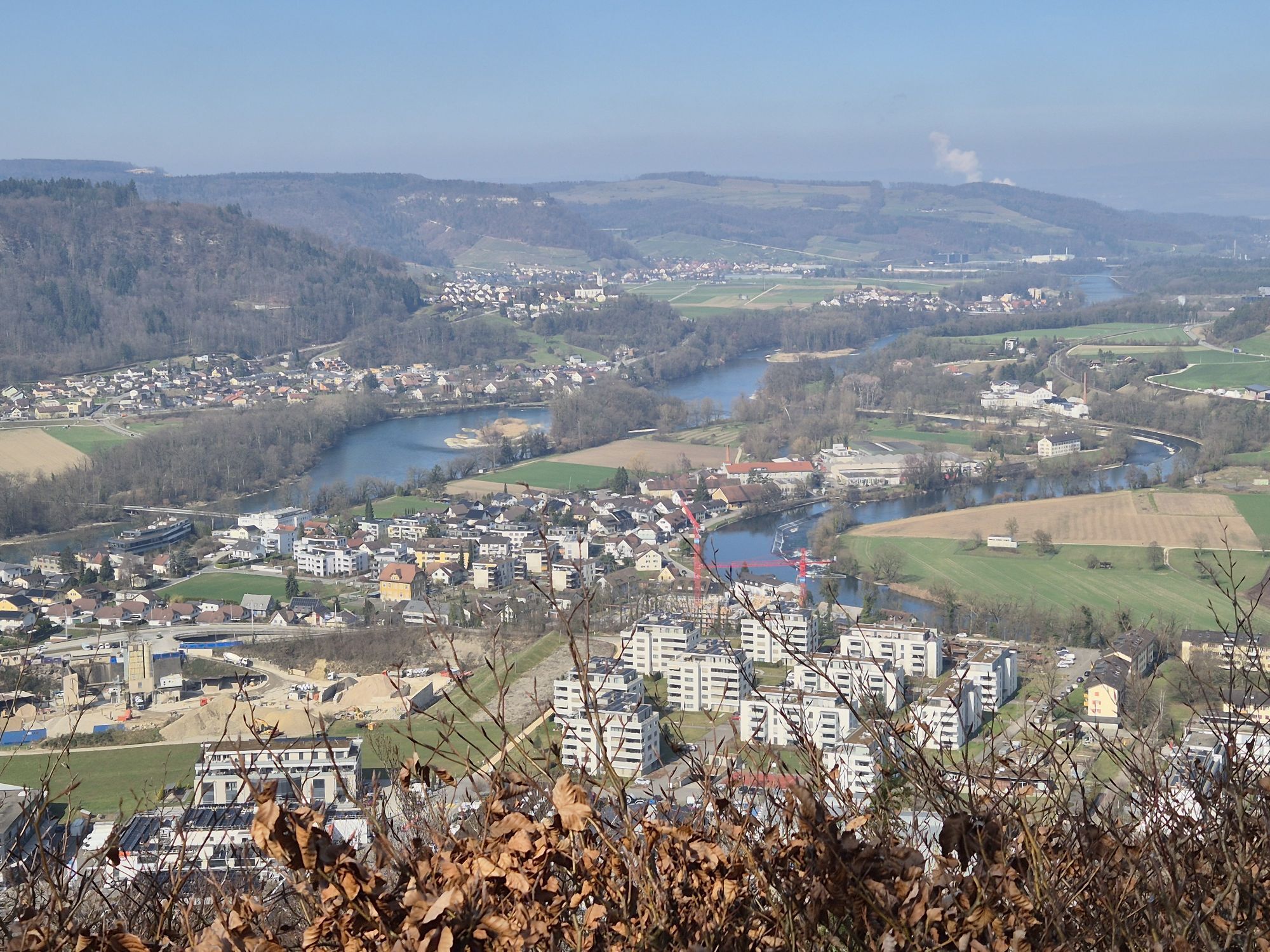
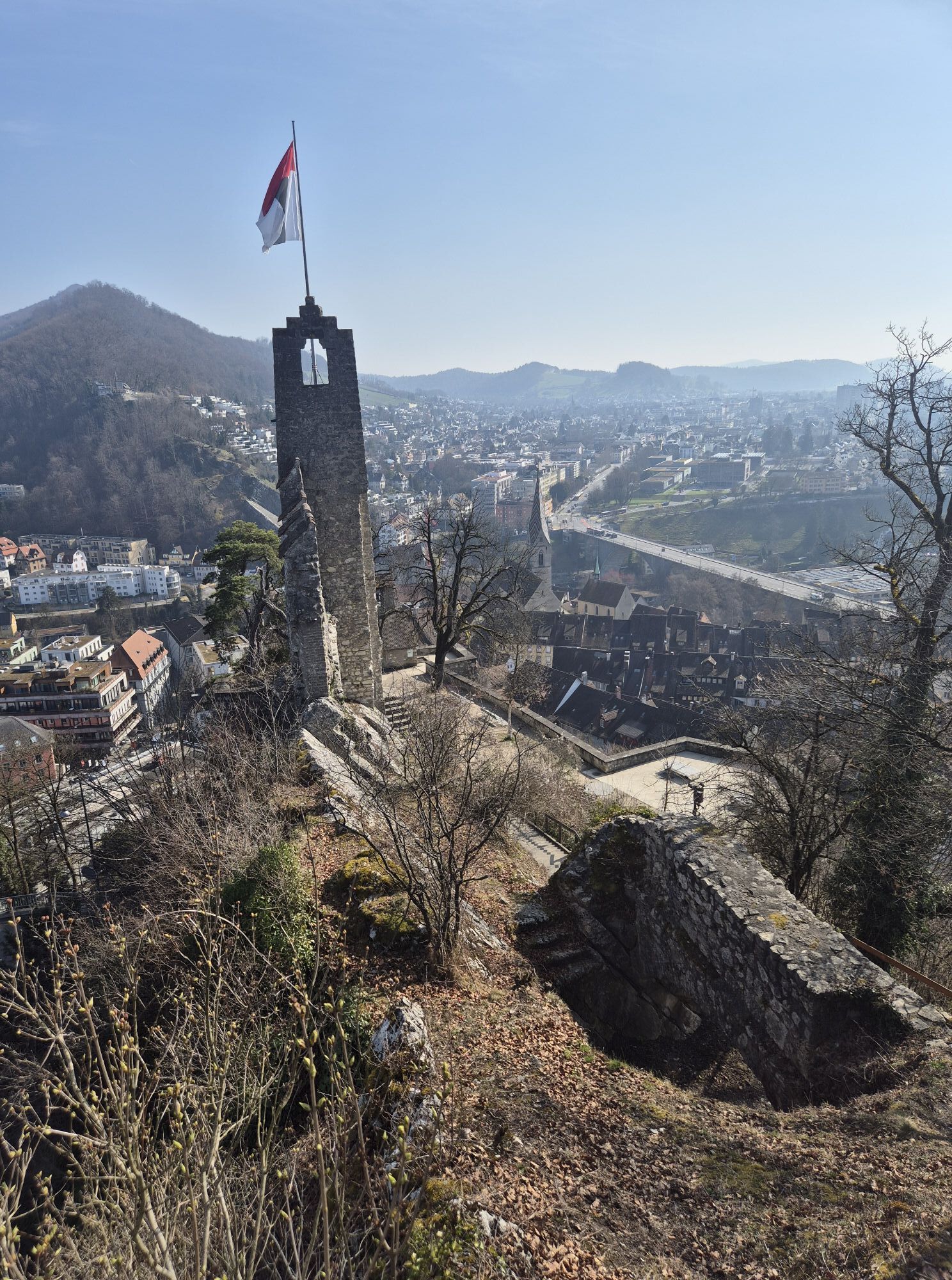
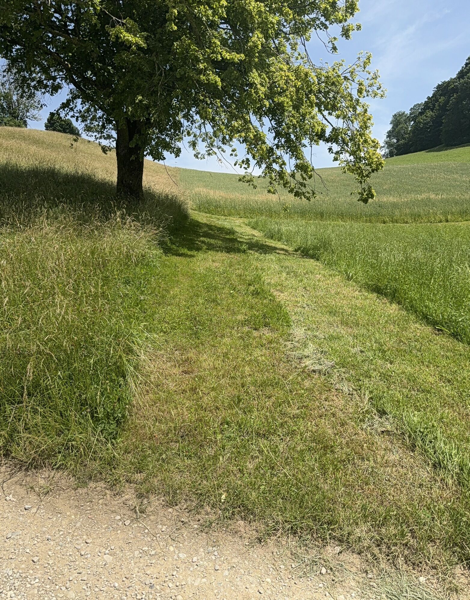
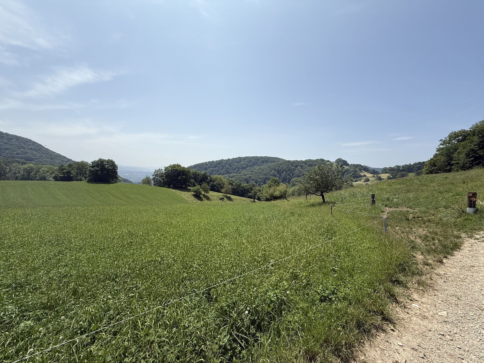
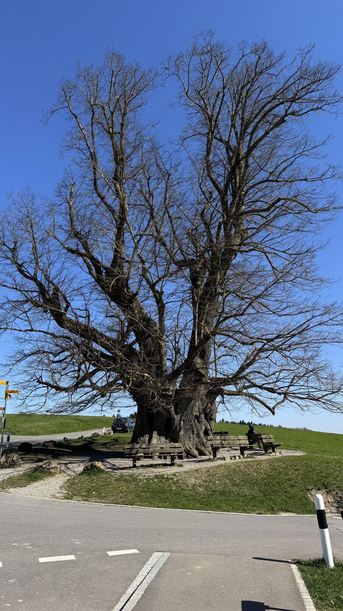

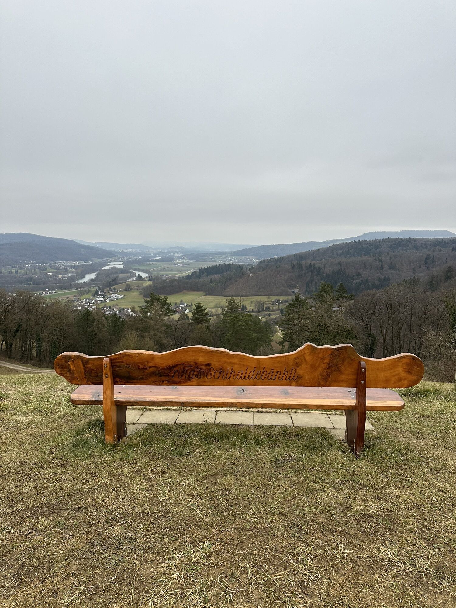
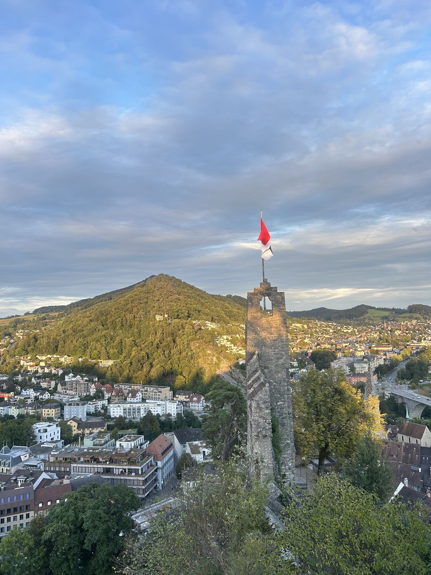
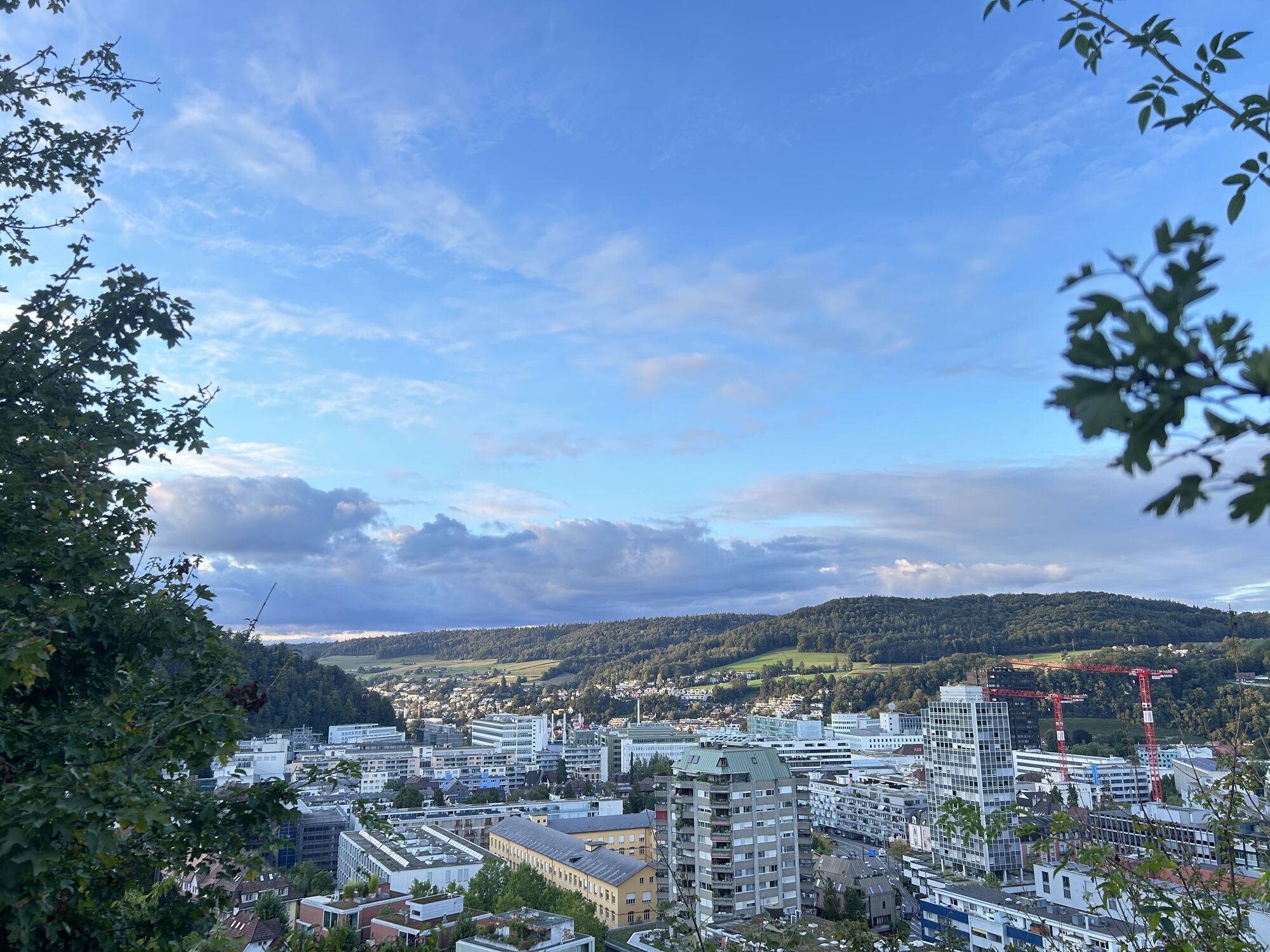
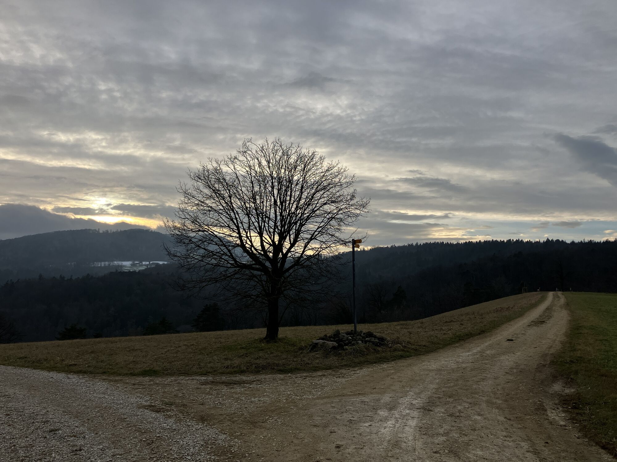
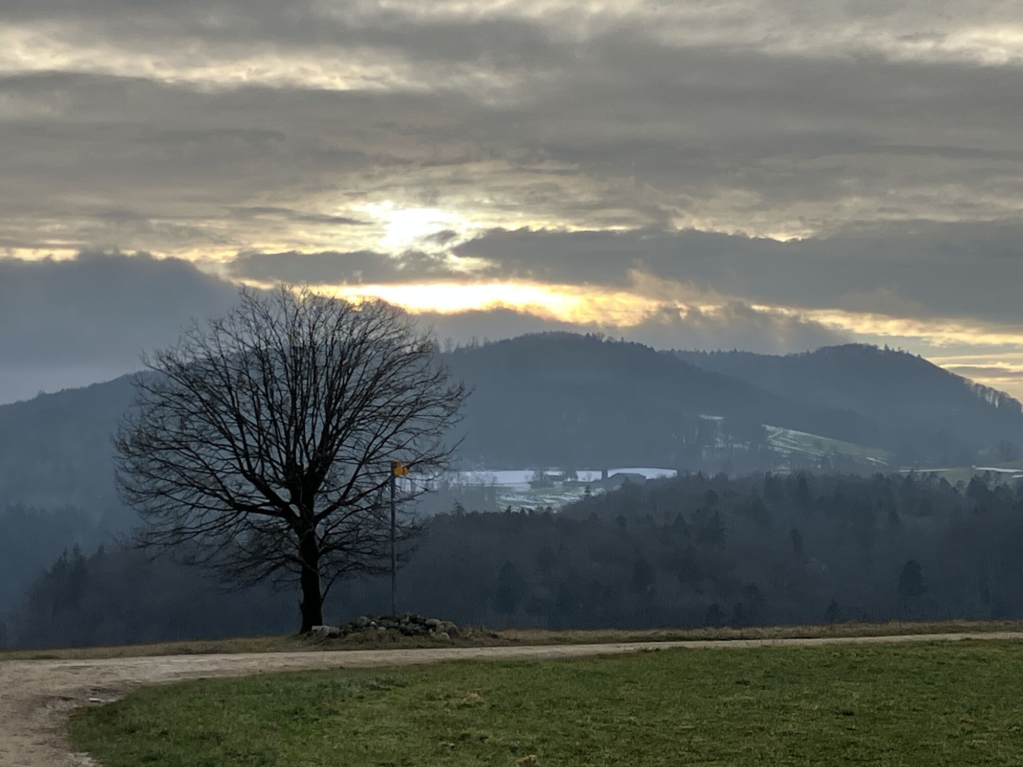
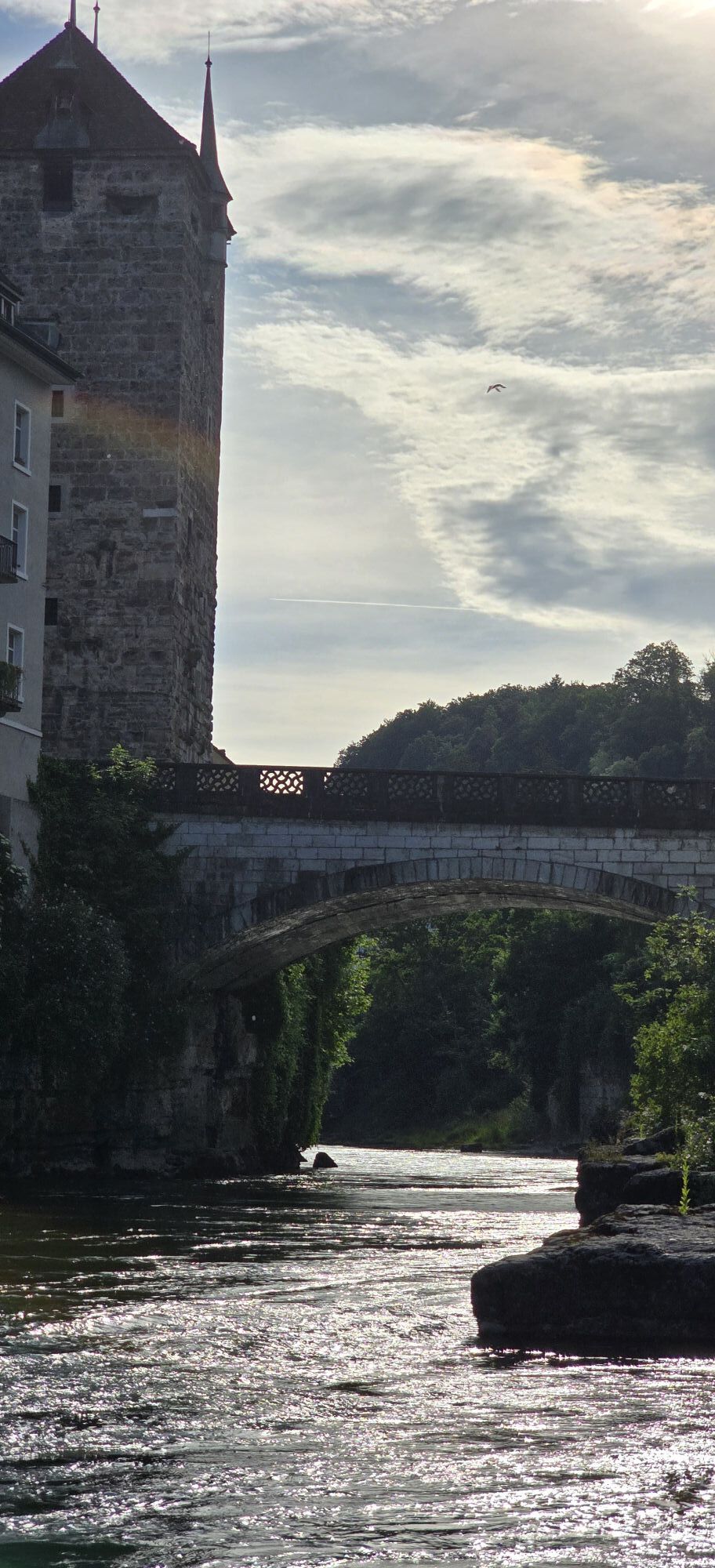

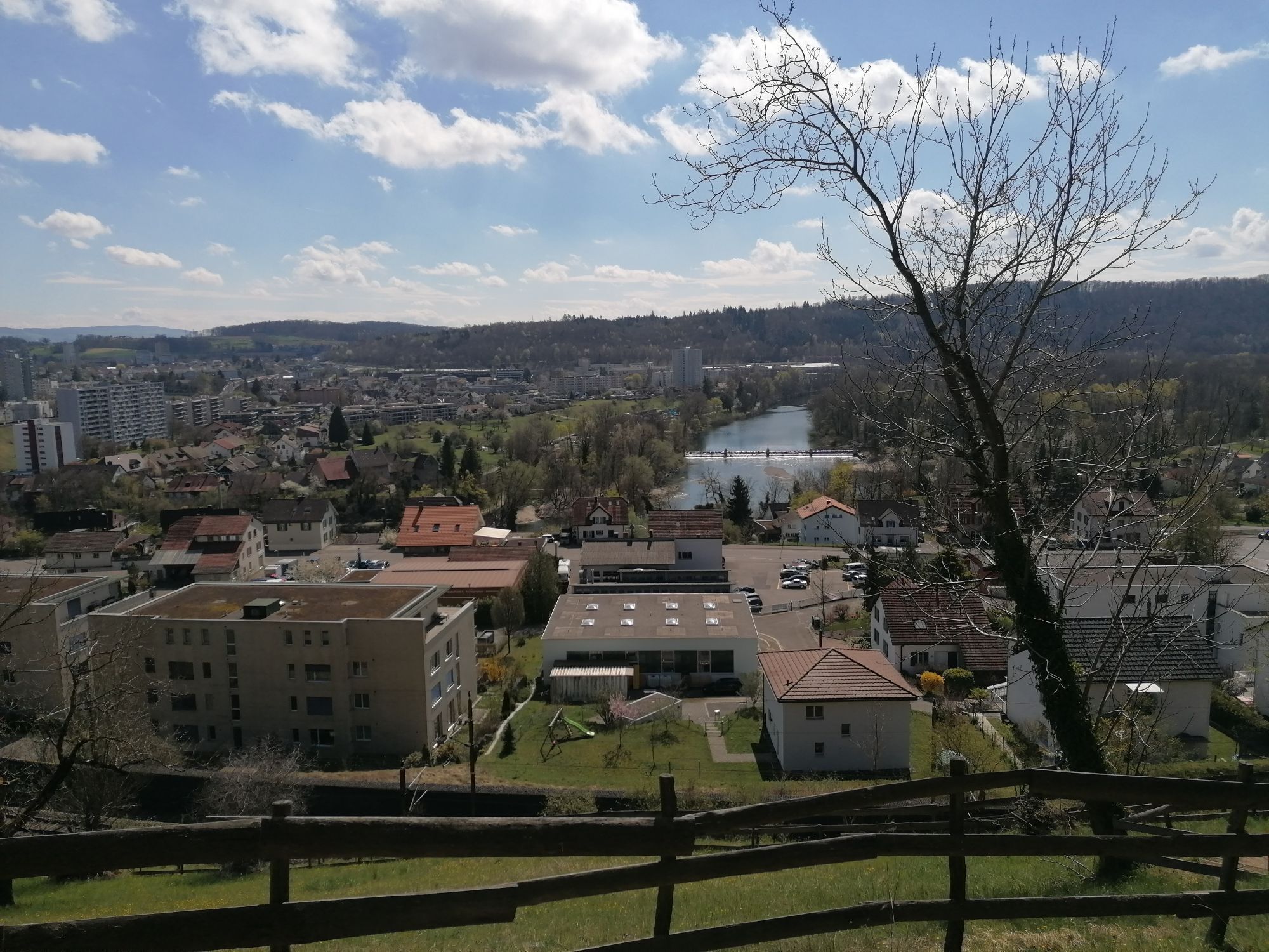
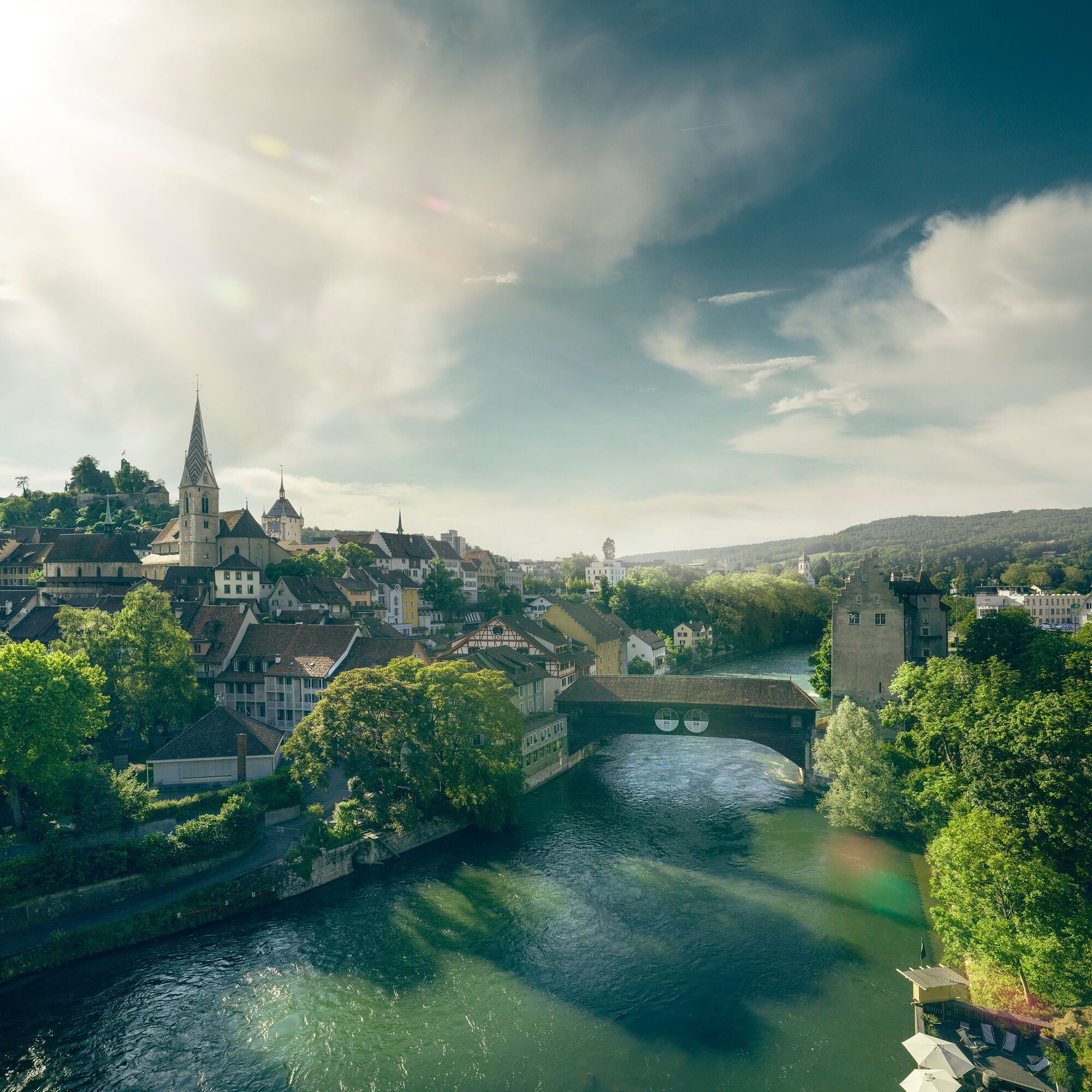
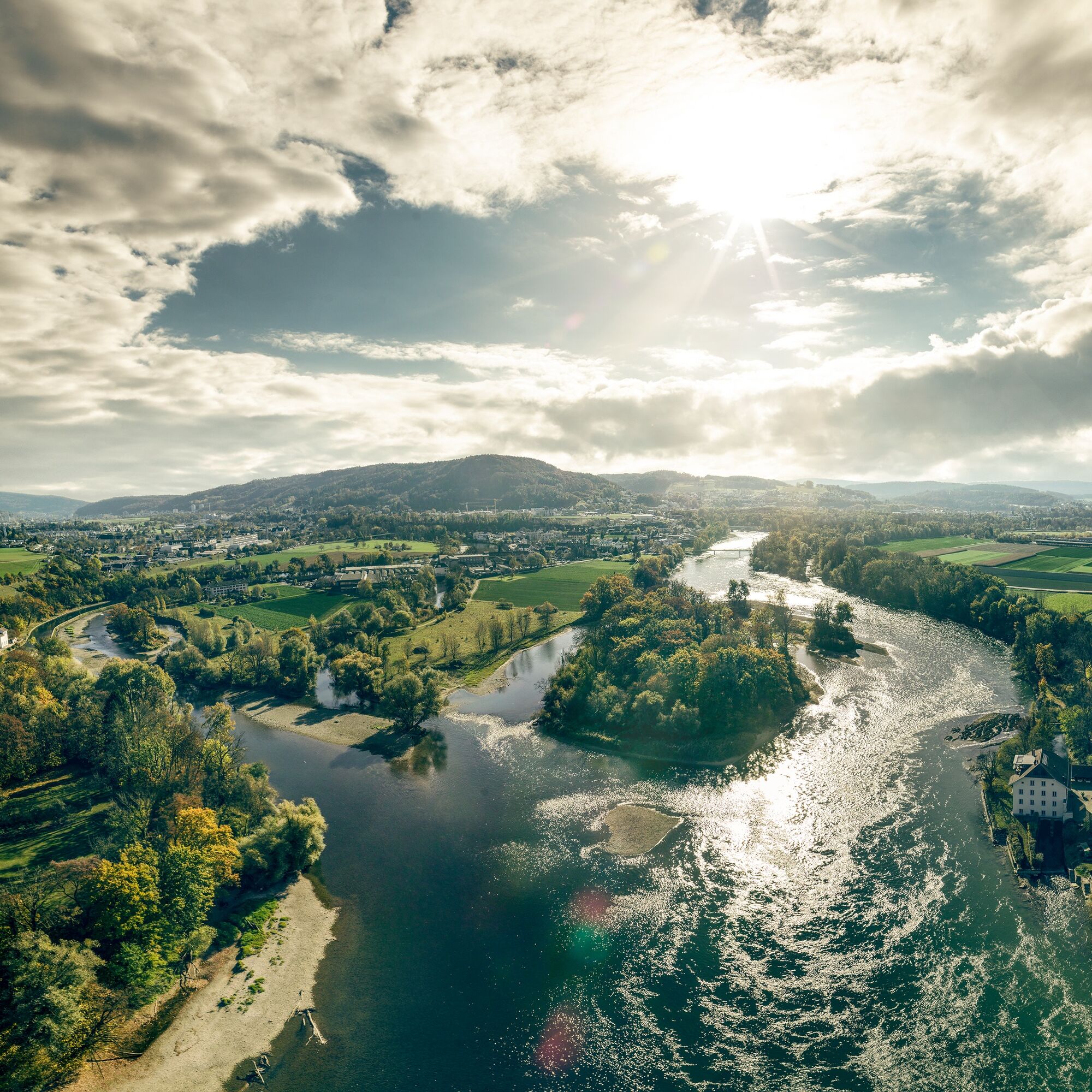
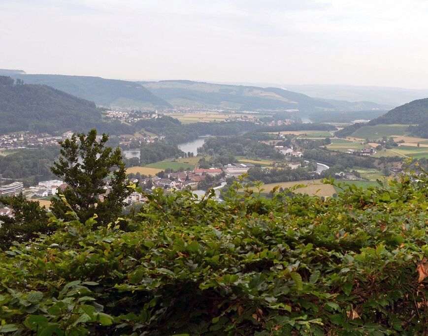
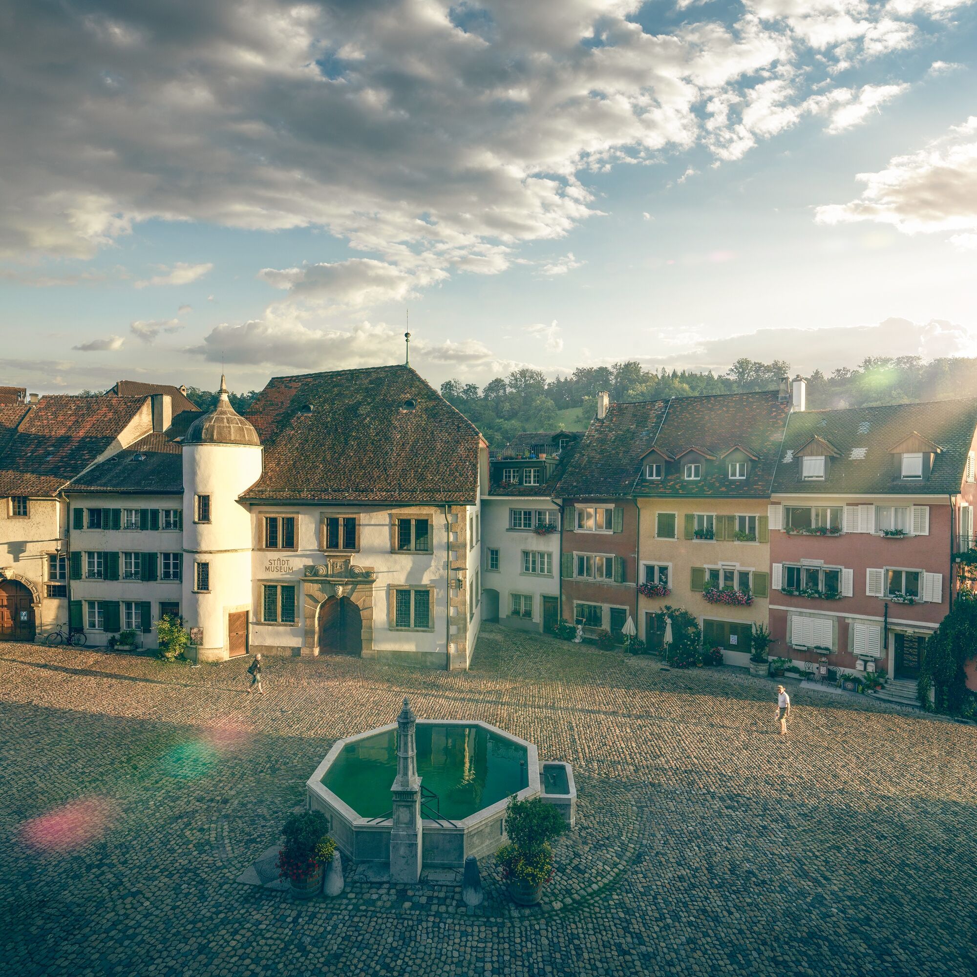
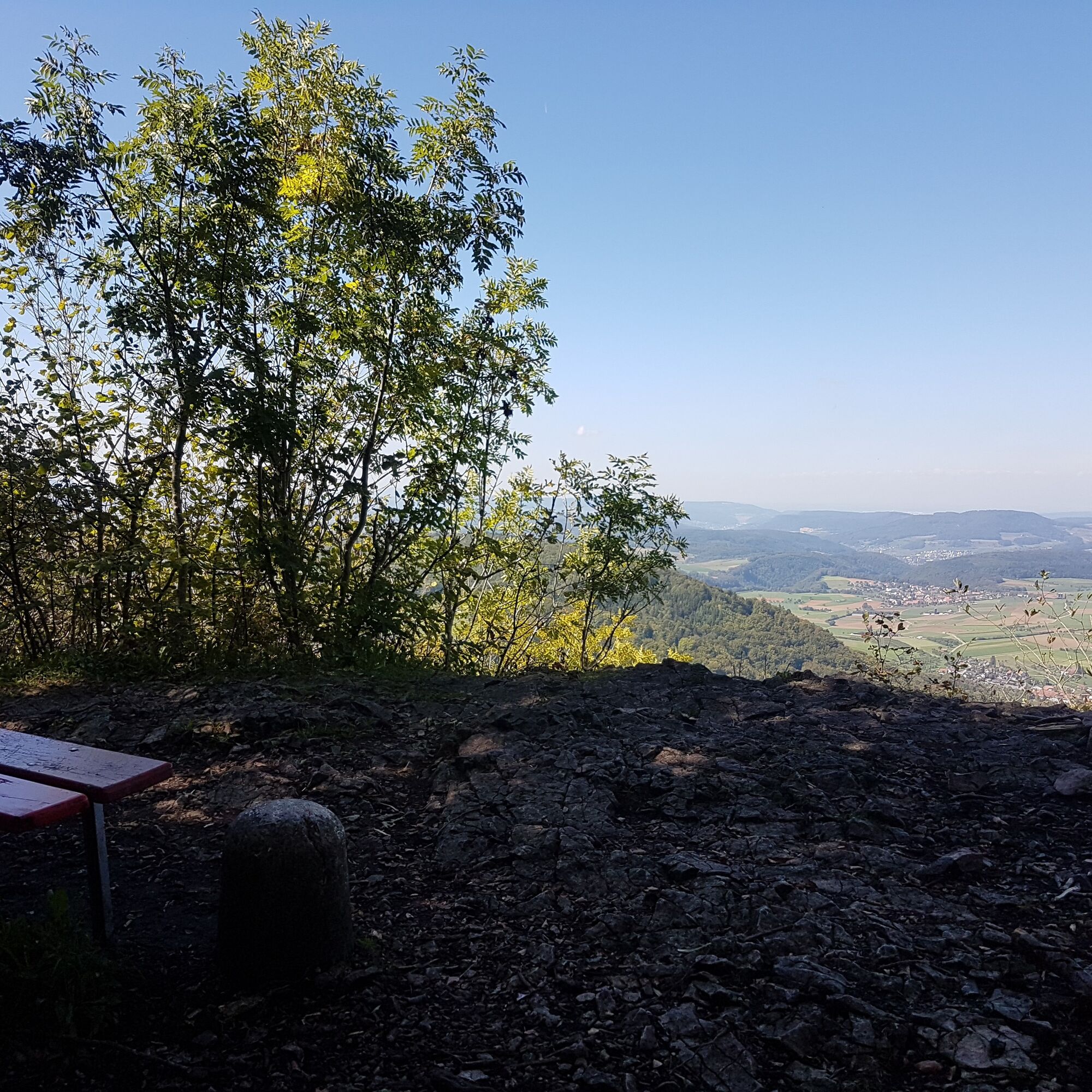
The route starts in the well-known spa town but nature is not far behind. Soon the path leads up to the Gebenstorf Horn, where there is a magnificent view of Switzerland's unique water castle. Here the...
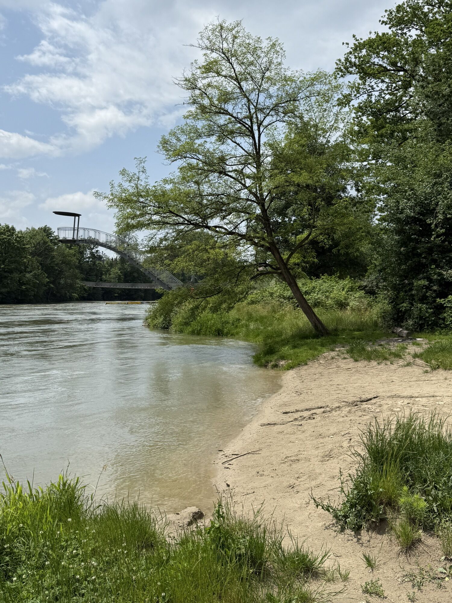
The route starts in the well-known spa town but nature is not far behind. Soon the path leads up to the Gebenstorf Horn, where there is a magnificent view of Switzerland's unique water castle. Here the mighty rivers Aare, Reuss, and Limmat converge.
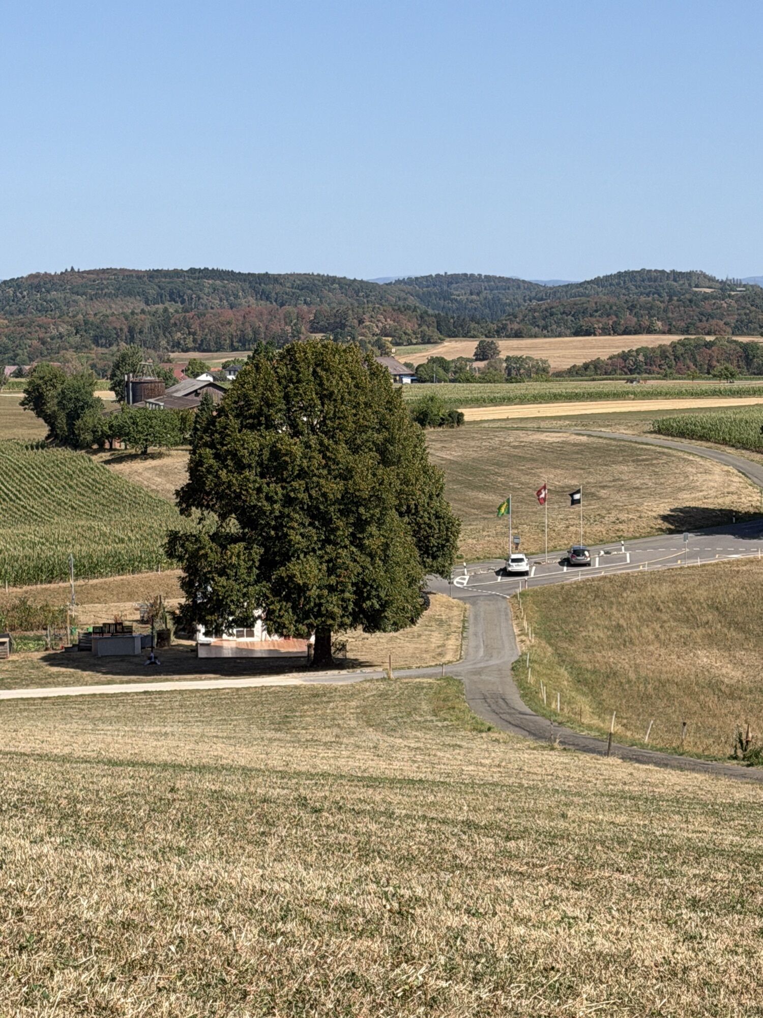
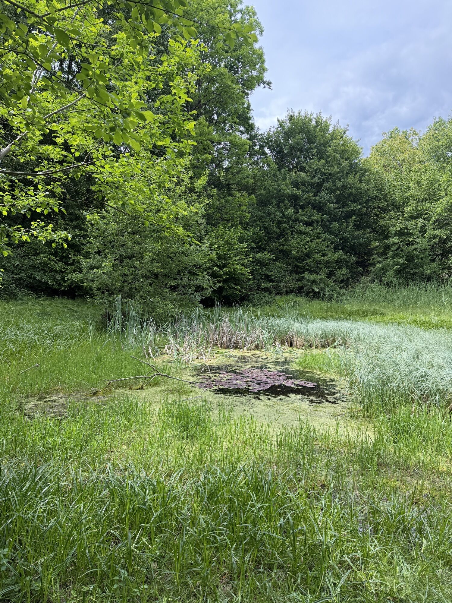
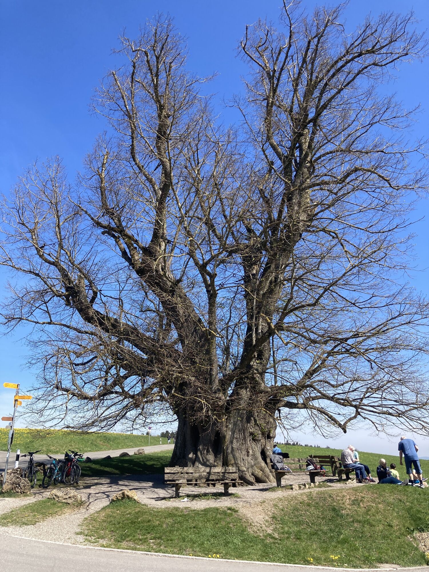
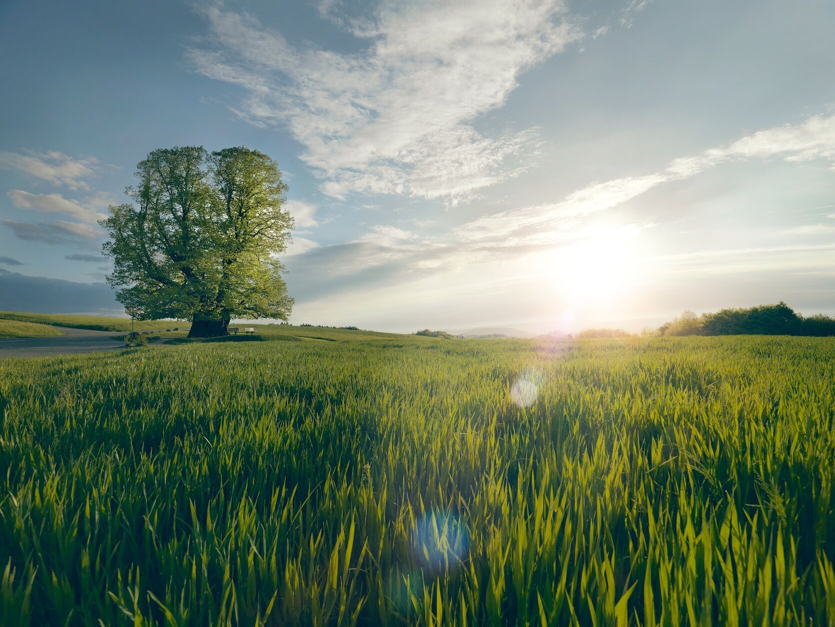
Following the Aare, the route passes the old town of Brugg before entering the Jurapark Aargau, a regional nature park. The path leads through shady forests to the distinctive lime tree of Linn, a legendary summer lime tree that with a height of 25 meters and a trunk circumference of 11 meters is considered the mightiest tree in the canton. The benches beneath the leafy canopy invite a relaxing break before the final section.
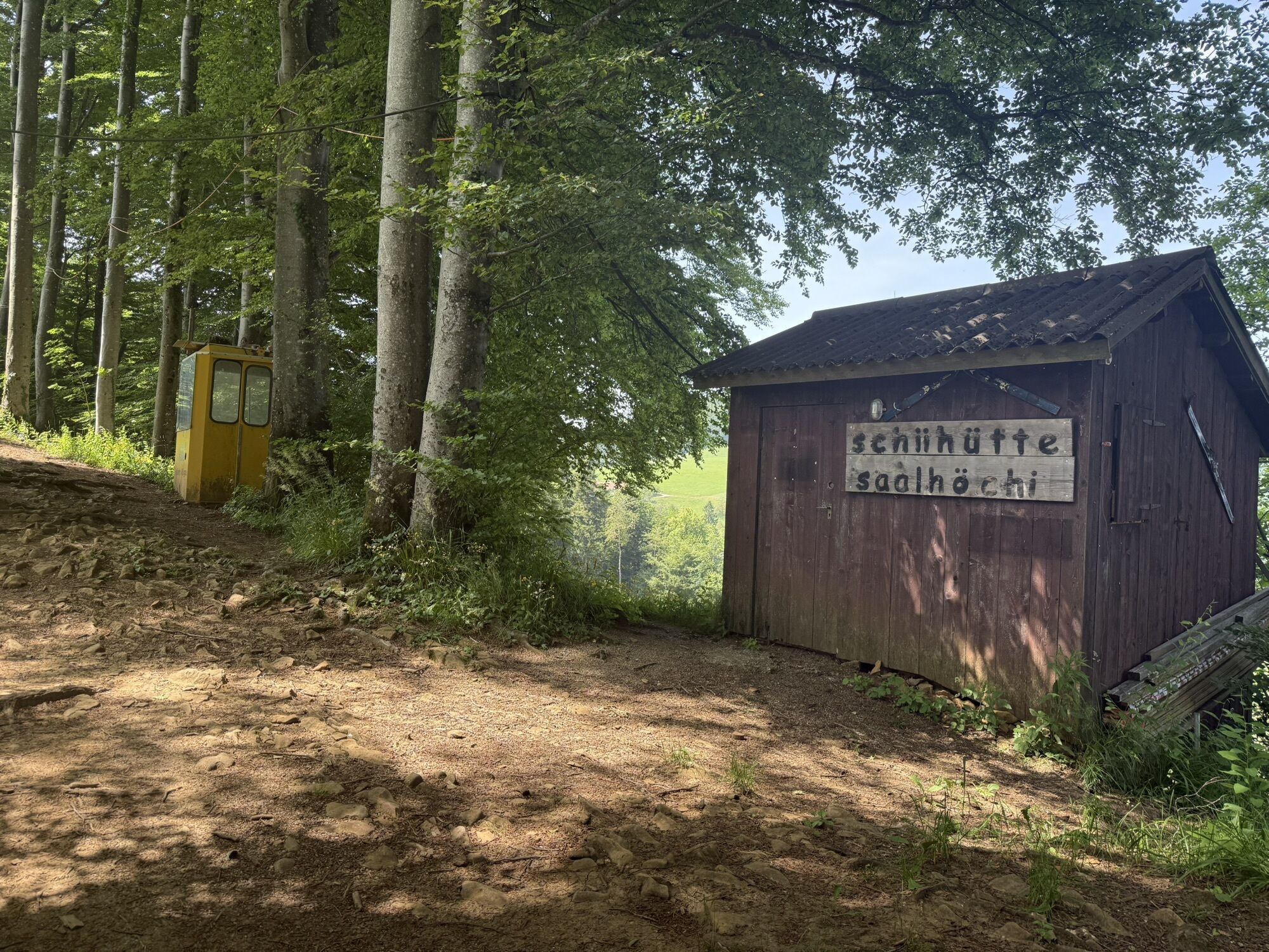
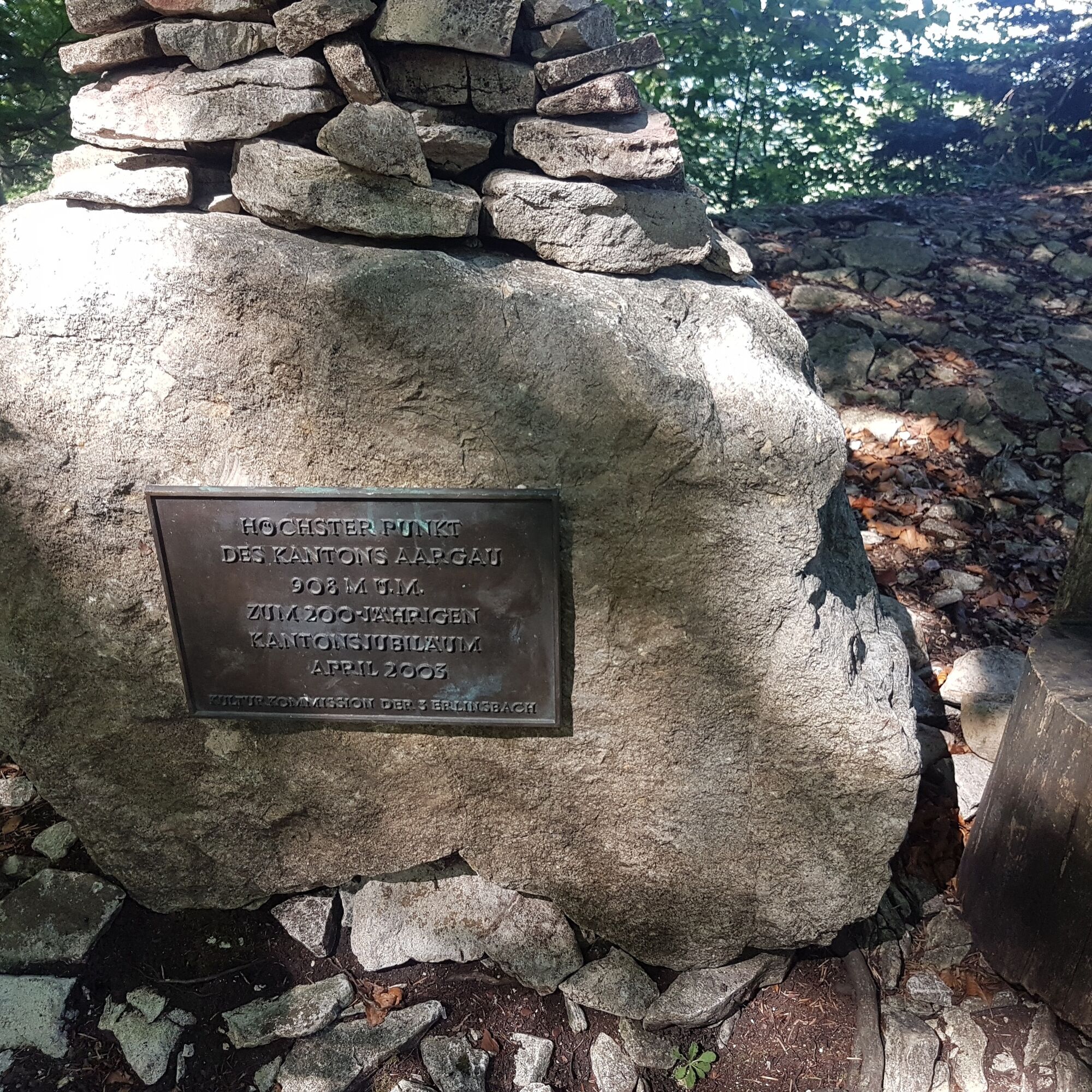
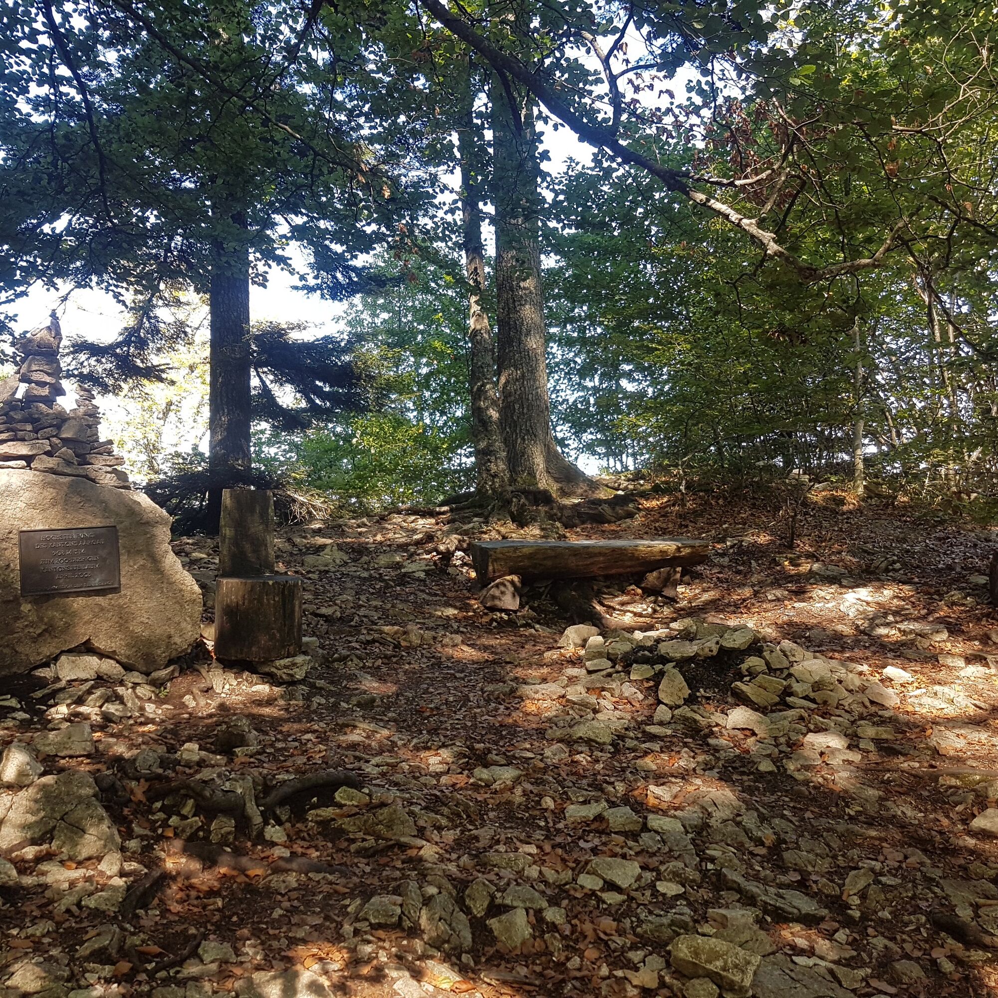
Now the name becomes reality: three passes must be crossed. From Staffelegg, the path leads through idyllic landscapes over the Benkerjoch to the Salhöhe. From there, it passes the Geissfluegrat, the highest point in Aargau, and continues to the Klinik Barmelweid.

 Získejte přehled Vždy živě na místě s více než 9 500 webkamerami. bergfex Jako uživatel Pro si nyní můžete zobrazit odpovídající webové kamery pro mnoho prohlídek v aplikaci prohlídky z. Můžete si tak přímo prohlédnout aktuální podmínky.
Oblíbené prohlídky v okolí
- 3.8
Chänzeli -Tour: Eine Panorama - Stadtwanderung
světloTuristika 7.81 km - 4.7
Gisliflue & Gratwanderung, Schweiz
středníTuristika 8.59 km - 4.8
Hüslischnegg am Asperstrihen
středníTuristika 5.05 km Linner Wasserfall
světloTuristika 4.67 km- 4.1
Linn - Effingen - Bruderhöhle - Gallenkirch
středníTuristika 7.88 km - 2.0
Staffelegg - Ruine Schenkenberg - Thalheim
světloTuristika 6.96 km - 5.0
Schinznach Bad - Brugg, Schweiz
světloTuristika 10.5 km - 5.0
Limmat Cultural Route
světloTematická stezka 8.77 km - 3.0
Rundwanderung Seengen, Aargau
světloTuristika 15 km - 5.0
Staffelegg-Hauenstein, Schweiz
středníTuristika 21.3 km

Pěší turistika a stopování


Nenechte si ujít nabídky a inspiraci pro vaši příští dovolenou
Vaše e-mailová adresa byl přidán do poštovního seznamu.





