




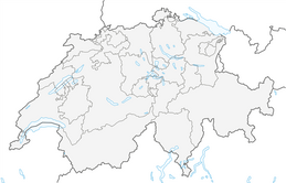


Stoos - Waldhüttli
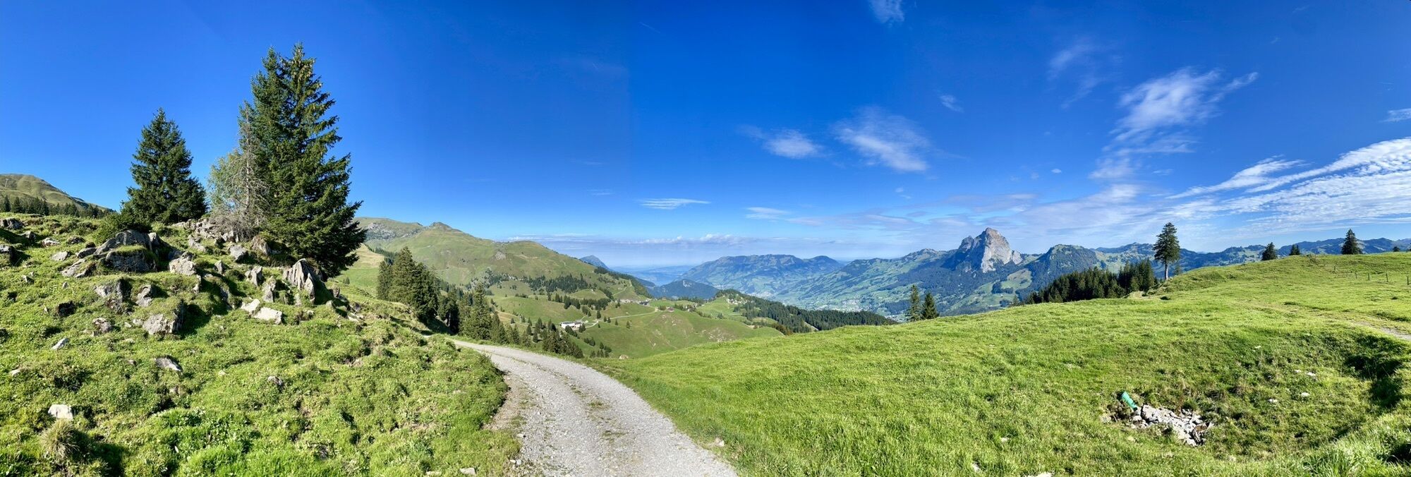
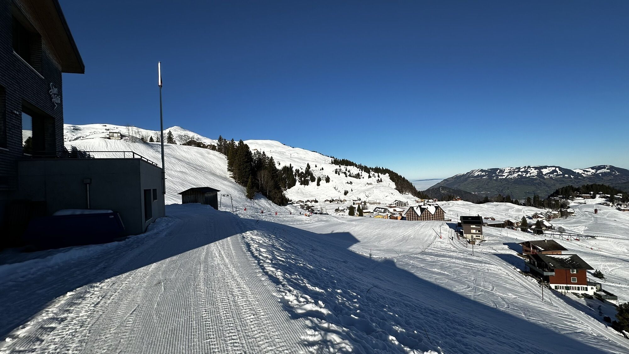
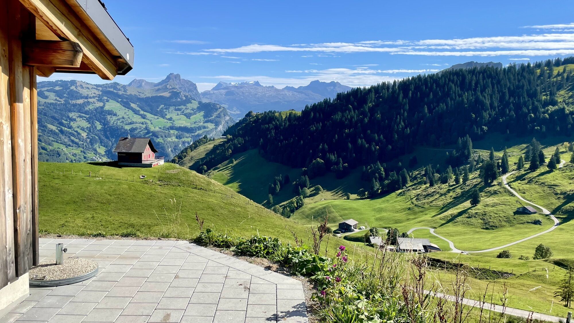
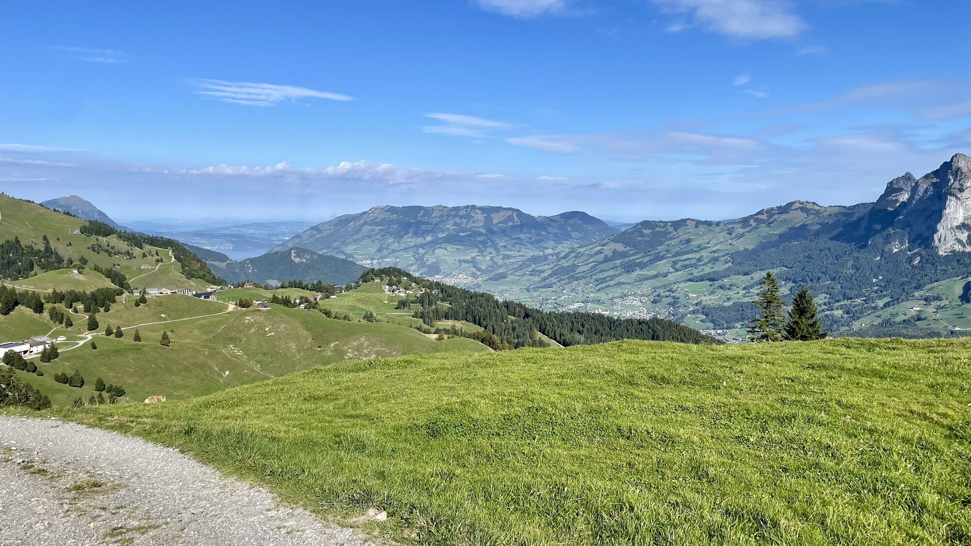
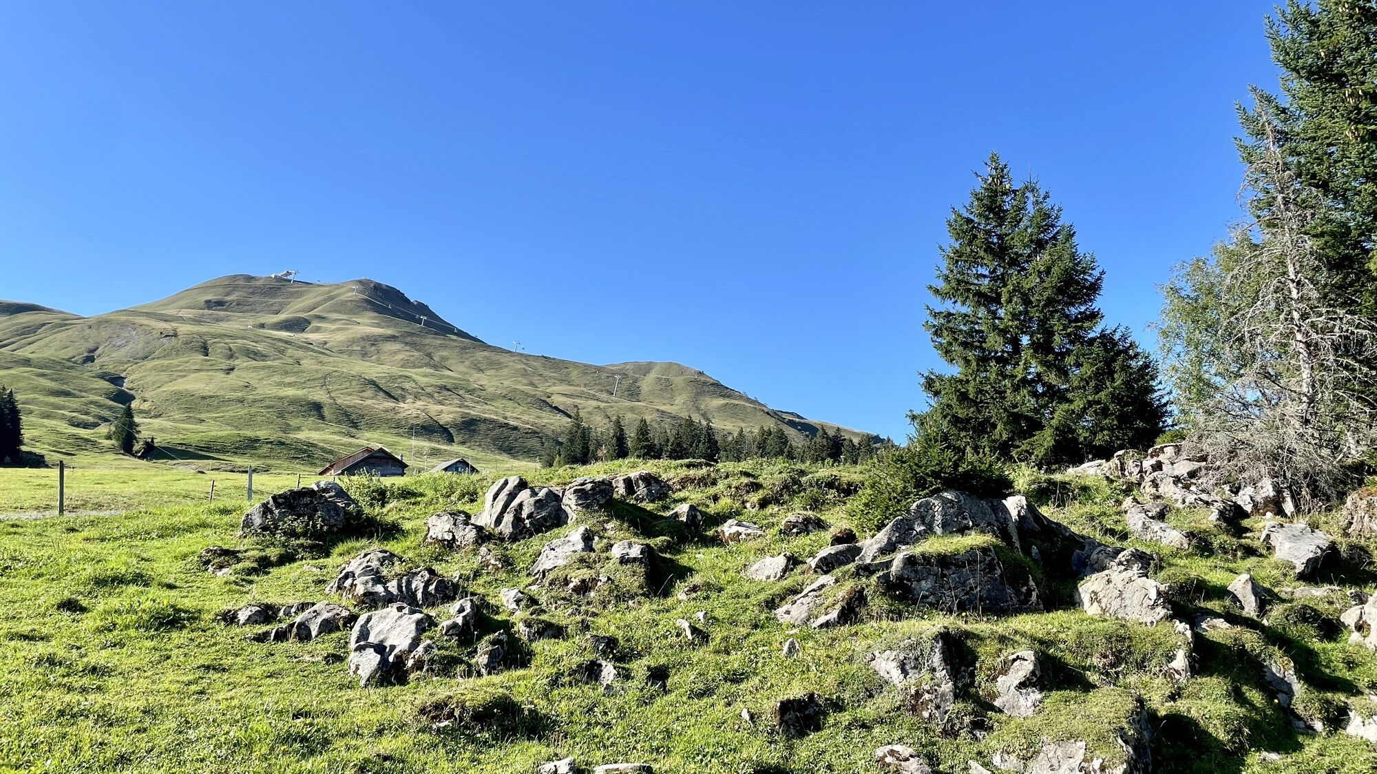
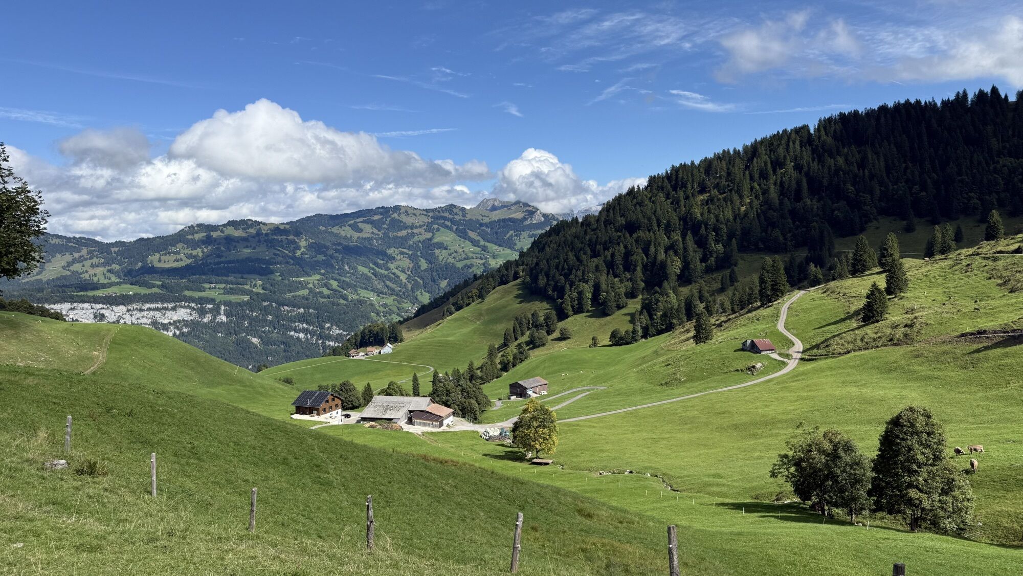
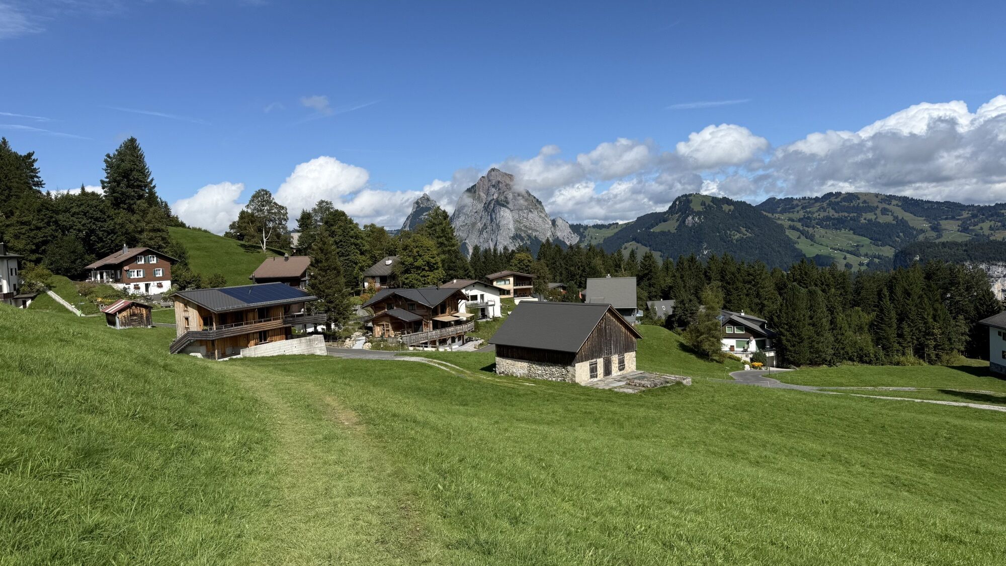

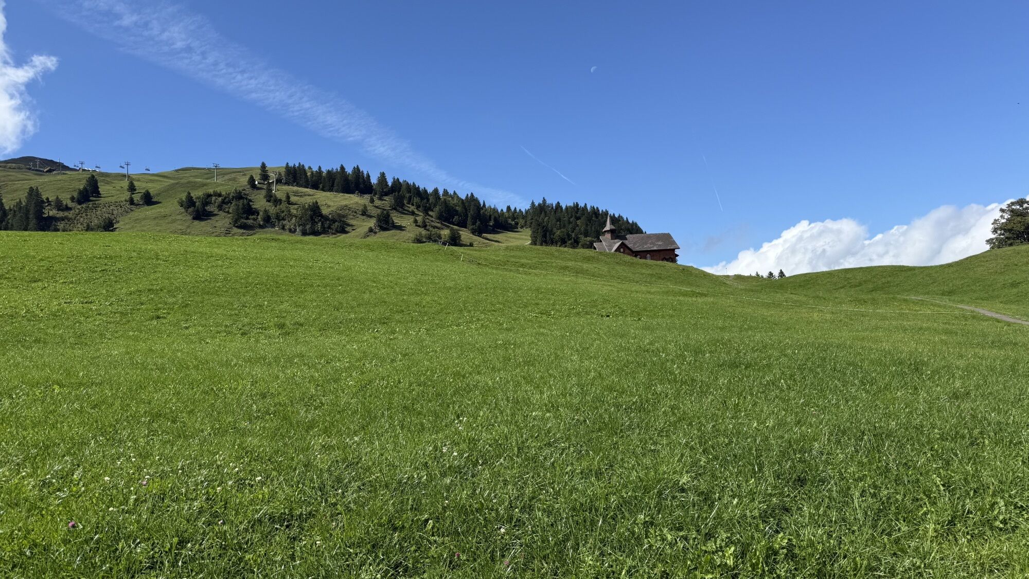
The snowshoe trail starts 100m from the top station of the Schwyz-Stoos funicular railway. It first leads on the same route as two other trails through the hilly landscape near the village of Stoos and...
The snowshoe trail starts 100m from the top station of the Schwyz-Stoos funicular railway. It first leads on the same route as two other trails through the hilly landscape near the village of Stoos and yet secluded and quiet to a junction near the Brunnerboden. From there the snowshoe trail leads along a winter hiking trail until it turns right. Through this idyllic area you can reach the highest point of the trail at Waldhüttli and take a short break if necessary. Following the purple marking poles, you descend over a steep spot at the tread edge to the valley station of the chair lift Klingenstock and the restaurant Klingenstock. The trail officially ends there. But of course you can continue with the snowshoes back to the village of Stoos, where there are various catering facilities.

The entrance is 100m next to the top station of the funicular railway.
Recommended equipment for snowshoe sportsmen:
Snowshoes, winter shoes (good hiking boots), depending on weather conditions wind jacket, sweater, gloves, cap, sunglasses, gaiters and walking sticks. For longer tours rucksack with drink and catering We recommend map 1:25000, compass, if available GPS Pocket pharmacy and any required medicationBitte folgen Sie der Beschilderung.
By car on the A4 to the Schwyz exit, then towards Muotathal to the valley station of the large Schwyz-Stoos funicular railway. By car to Brunnen-Mositunnel, then branches to Morschach, to the valley station of the small cable car Morschach-Stoos
Take the train to Schwyz, train station. From there, continue with bus no. 501 in the direction of Muotathal Hölloch / Stoosbahn and get off at the bus stop "Schwyz, Stoosbahn".
Arrive at the cable car in Morschach:
Take the train to Brunnen, train station. From there, continue with bus no. 504 towards Morschach and get off at the bus stop "Morschach, Luftseilbahn".
Parking is available at the valley station of the feeder lifts.
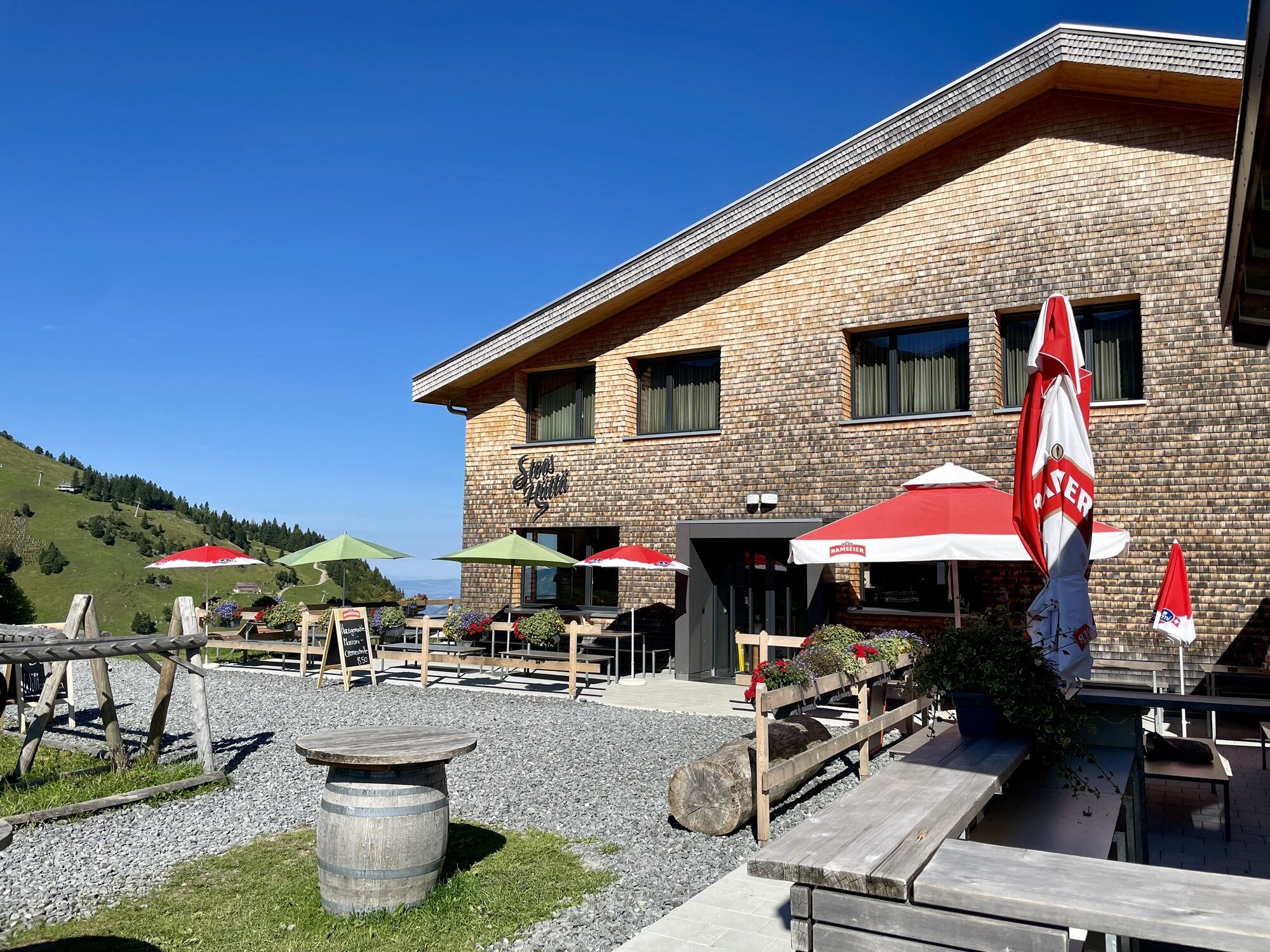
The small, cosy Waldhüttli invites you to a stop. After the ascent you have earned something fine from the hut kitchen.
Webové kamery z prohlídky
Získejte přehled
Vždy živě na místě s více než 9 500 webkamerami. bergfex Jako uživatel Pro si nyní můžete zobrazit odpovídající webové kamery pro mnoho prohlídek v aplikaci prohlídky z. Můžete si tak přímo prohlédnout aktuální podmínky.
Oblíbené prohlídky v okolí
-
4.9
Gratwanderung Klingenstock
světloTuristika 9.36 km -
4.6
Rundwanderung
světloHorská turistika 12.9 km -
4.3
Mythenweg - Bergwanderung auf den Grossen Mythen
heavyTuristika 3.40 km -
4.4
Kleiner Mythen
středníTuristika 6.31 km -
4.5
Brunni-Feuerstellen-Rundwanderung
světloTuristika 11.5 km -
4.7
Mythen via Ibergeregg
středníTuristika 9.73 km -
5.0
Wanderung entlang der Mythen, Alp "Zwüschet-Mythen"
středníTuristika 10.5 km -
4.8
Holzegg - Grosser Mythen - Restaurant Grosser Mythen - Alpwirtschaft Brunnialp
středníTuristika 5.66 km -
5.0
Morschach-Fronalpstock-Stoss, Schweiz
středníTuristika 16.6 km -
4.5
Rundwanderung: Alplersee - Rophaien - Spilauersee - Lidernenhütte
heavyTuristika 15.5 km
Pěší turistika a stopování


Nenechte si ujít nabídky a inspiraci pro vaši příští dovolenou
Vaše e-mailová adresa byl přidán do poštovního seznamu.





