







RheinWelten on the Rhein-Route

Úroveň obtížnosti: 1
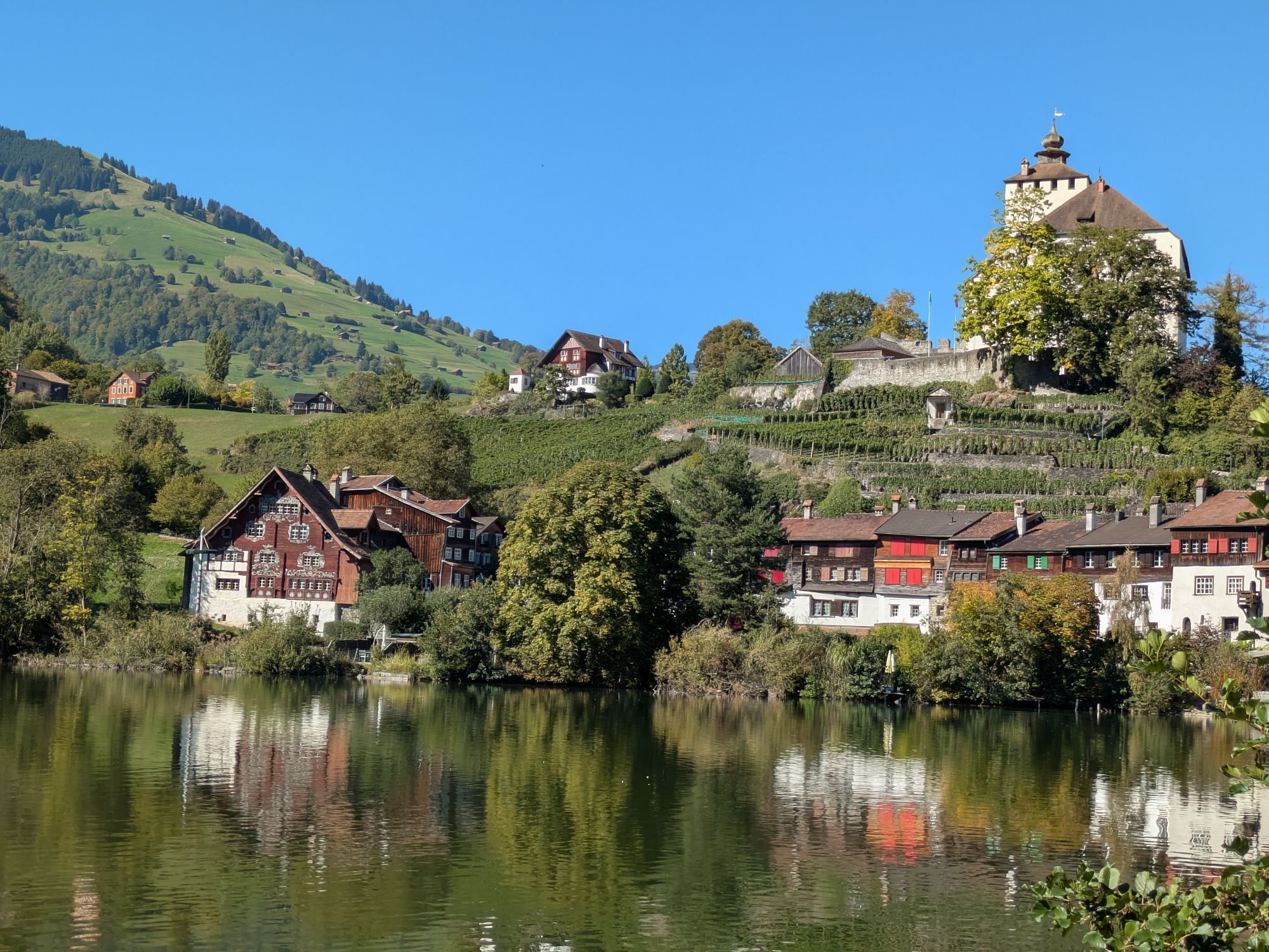
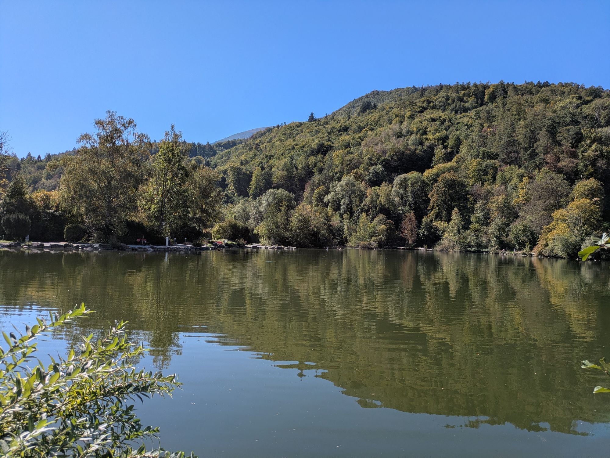
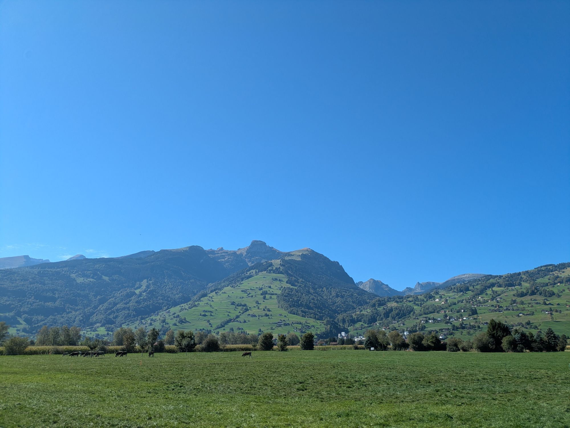
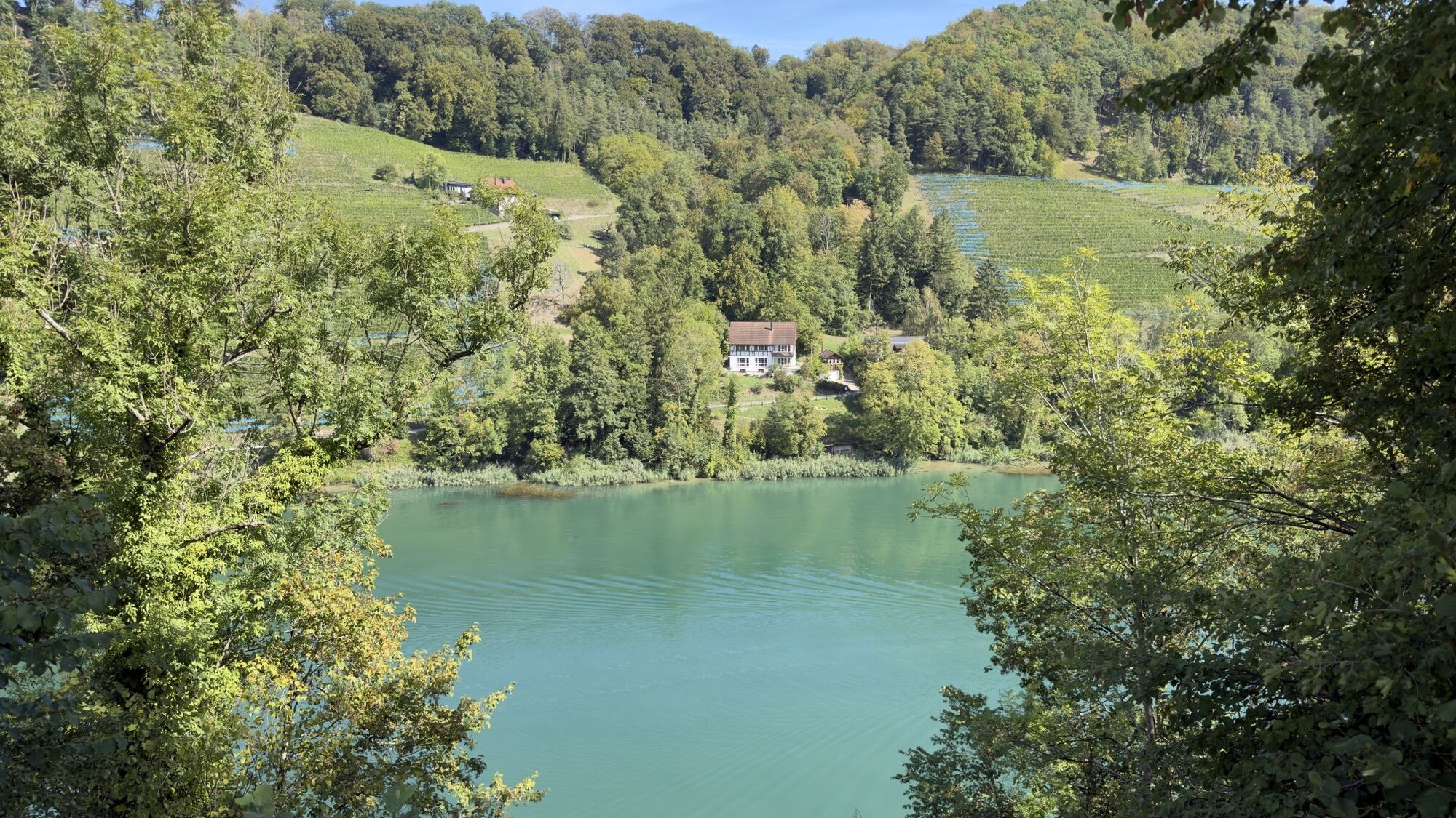
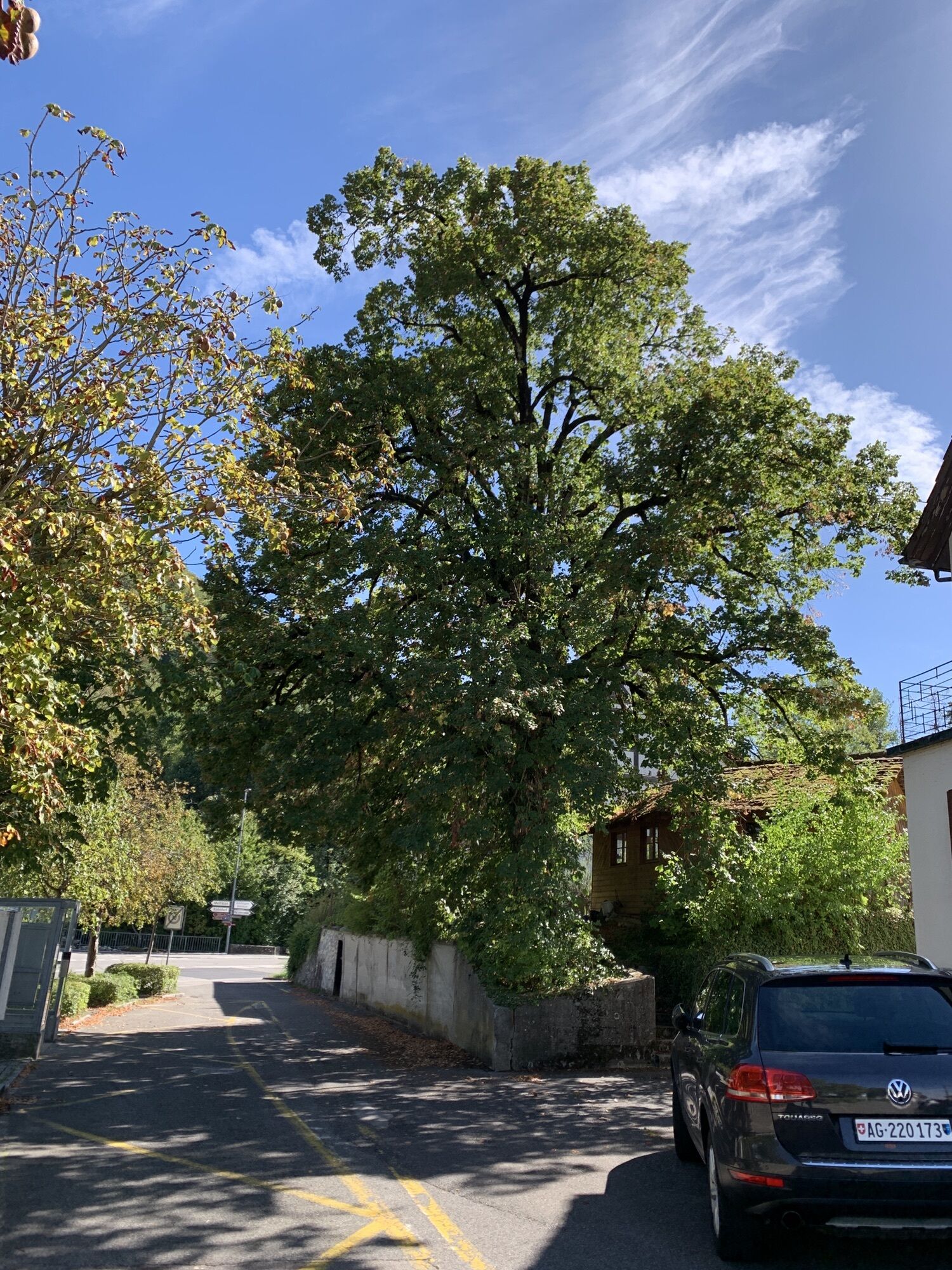
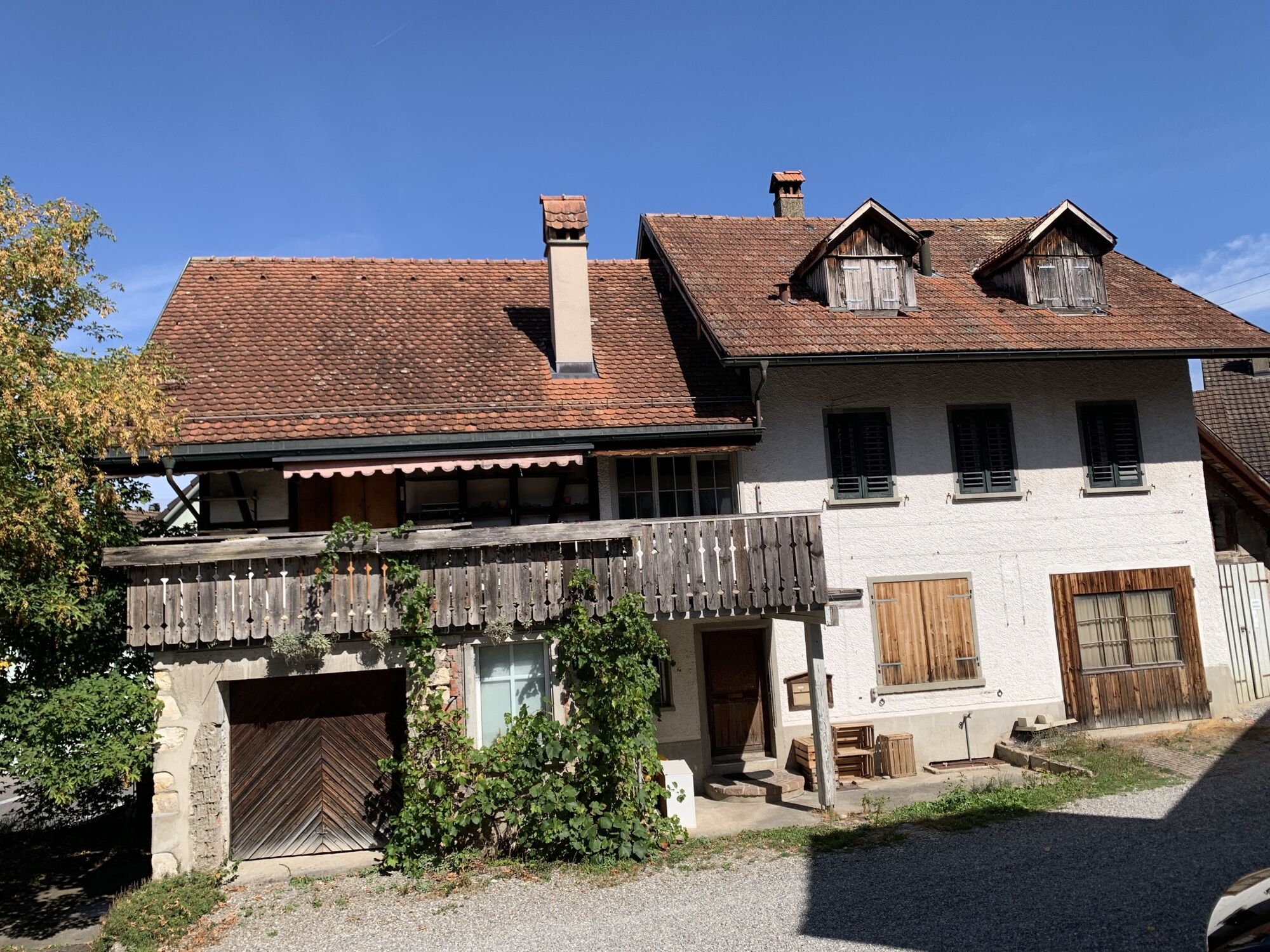
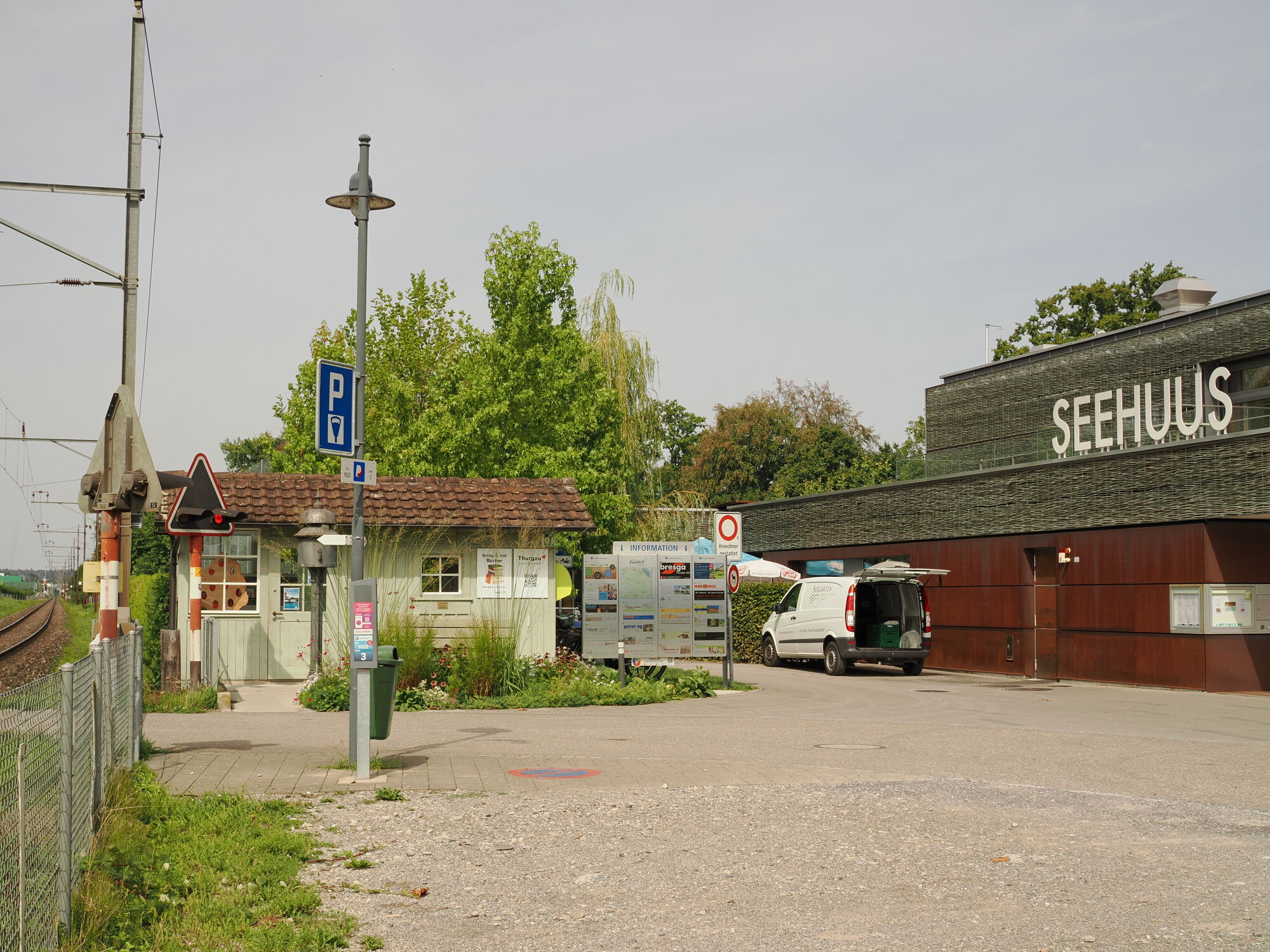
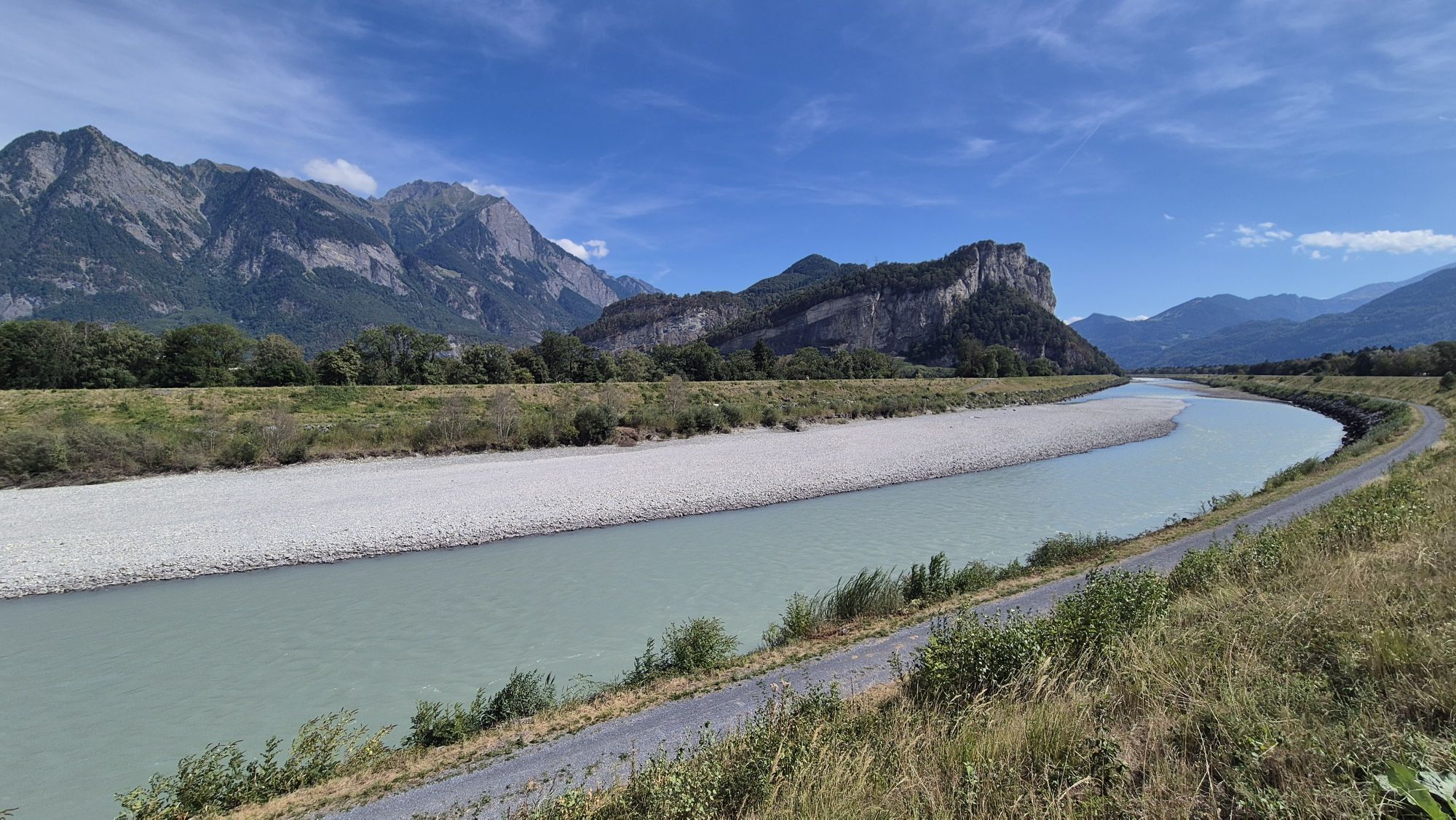
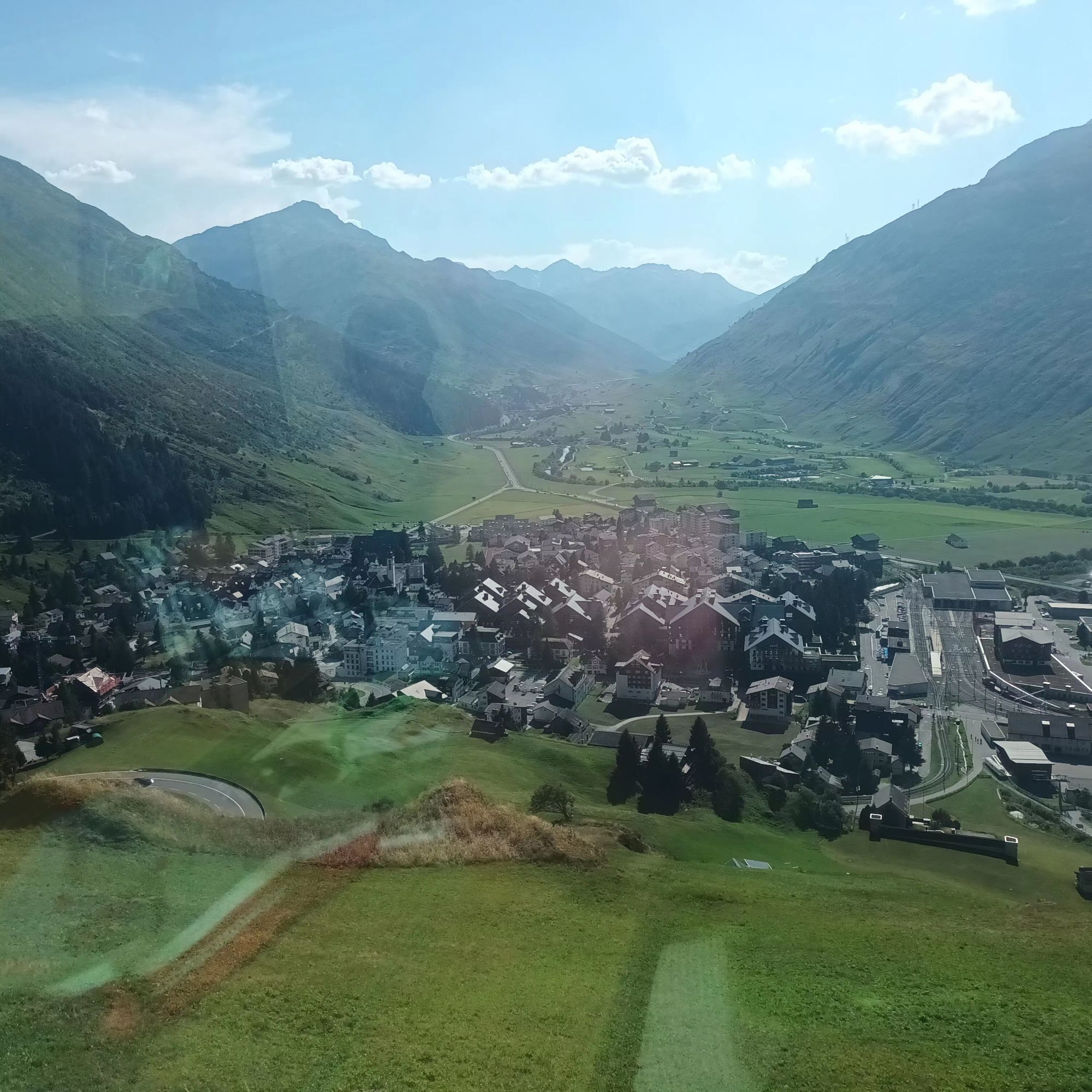
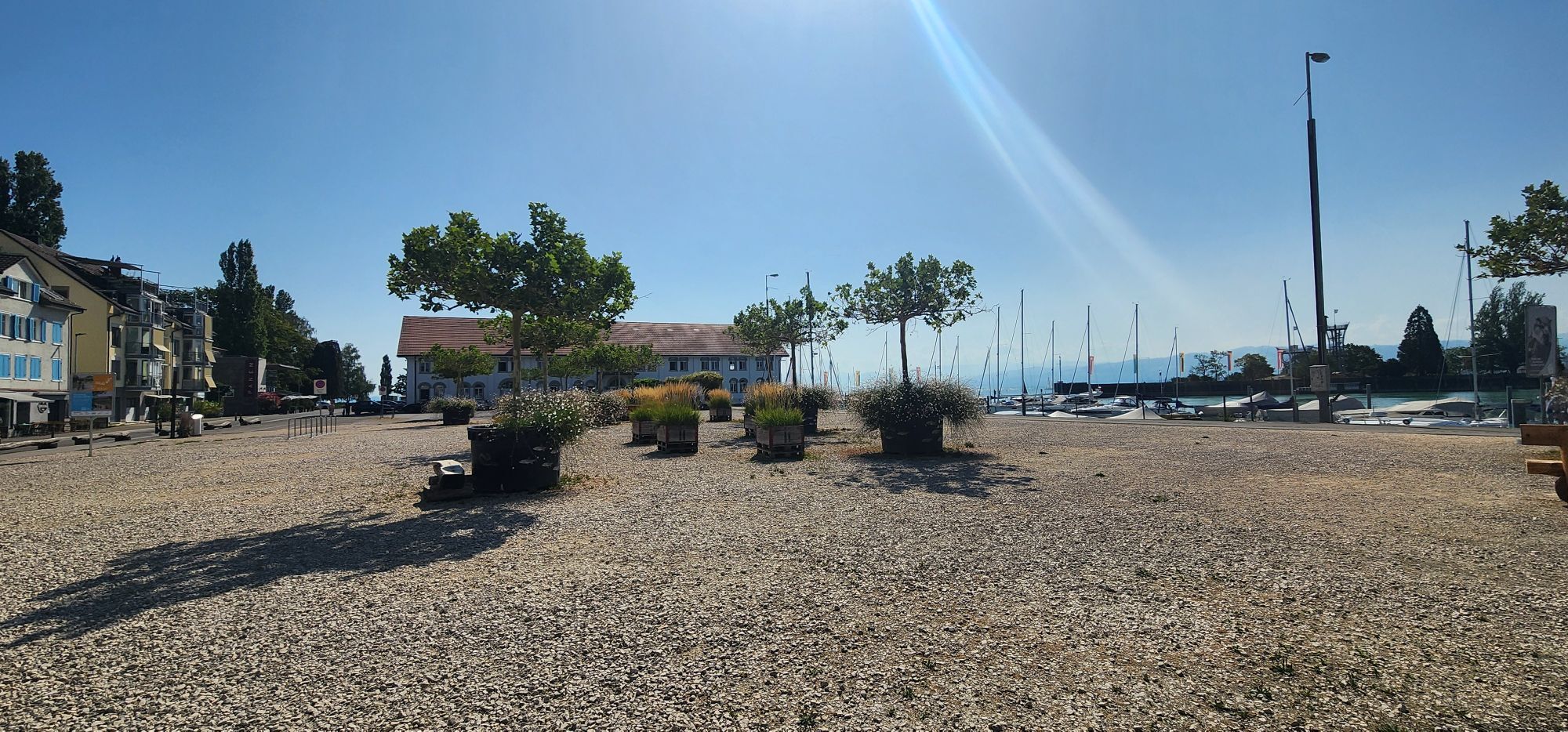
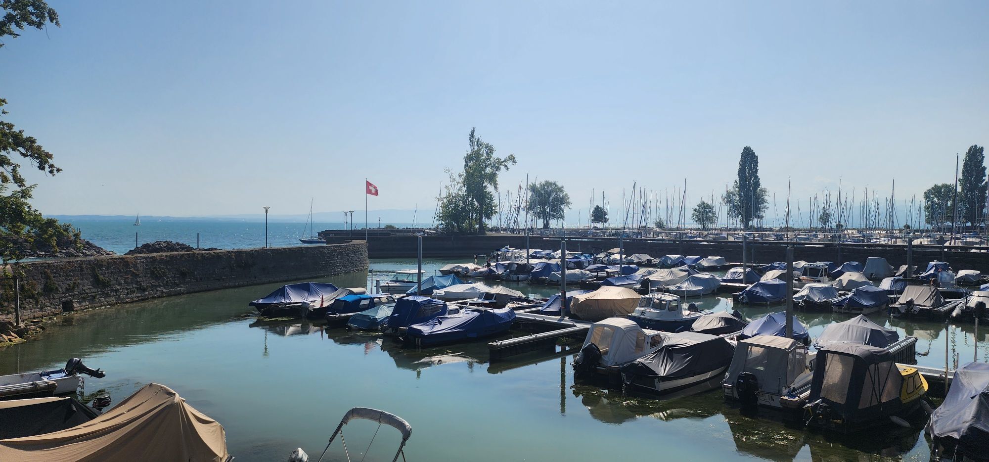
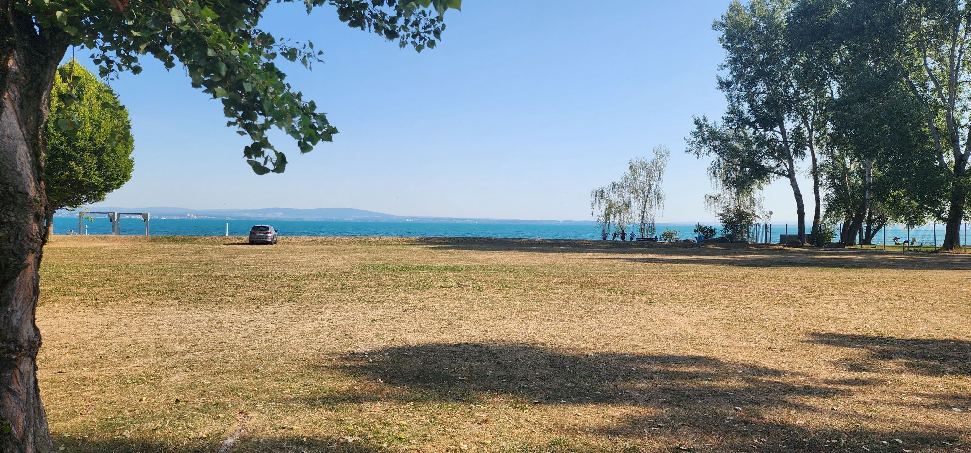
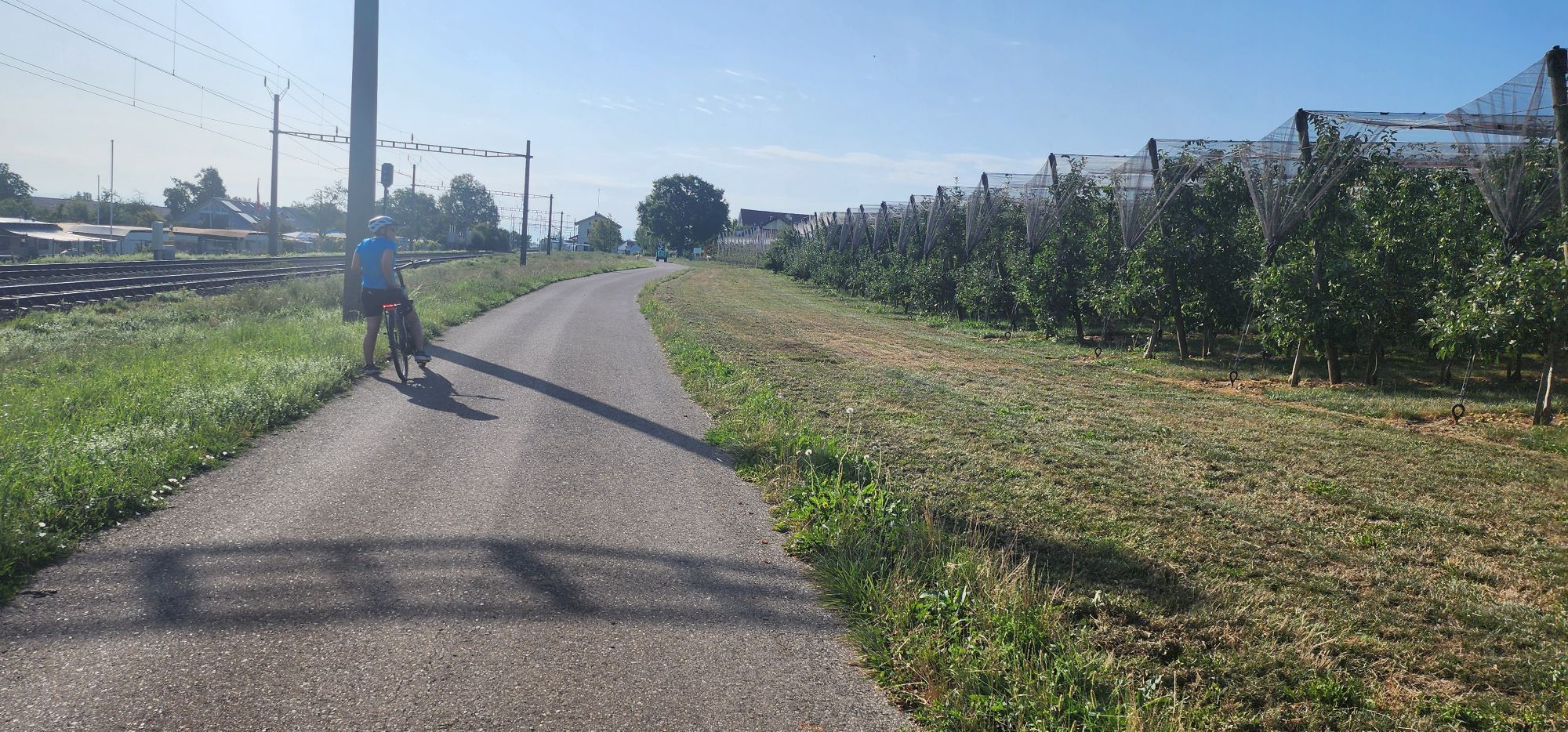
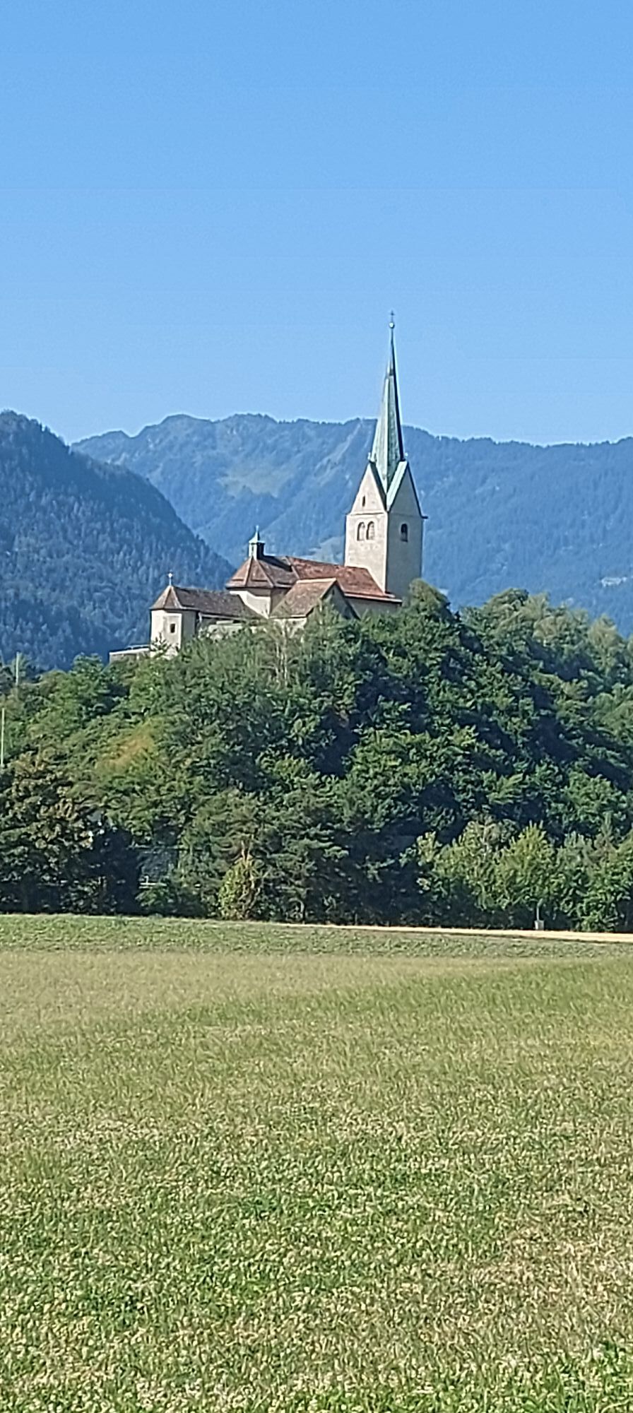
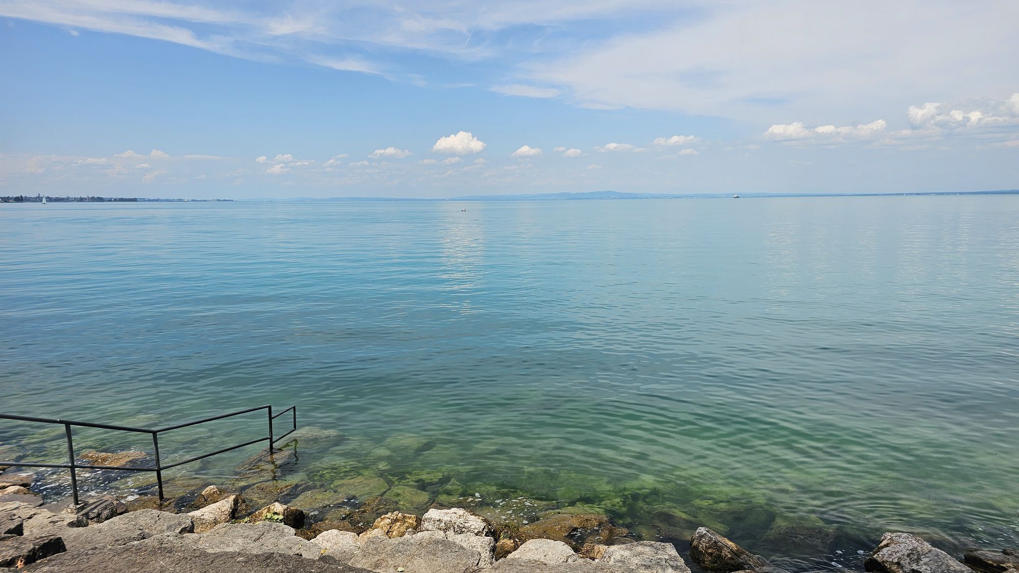
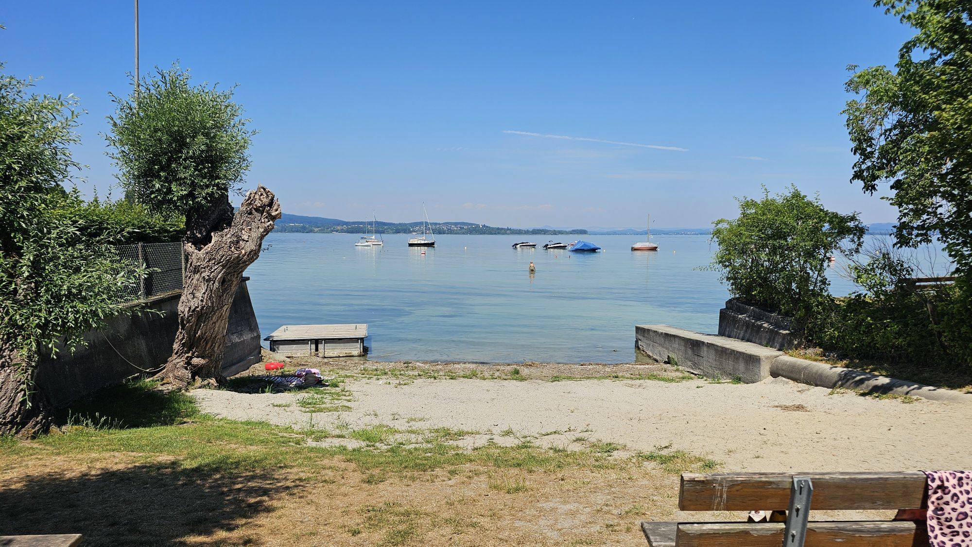
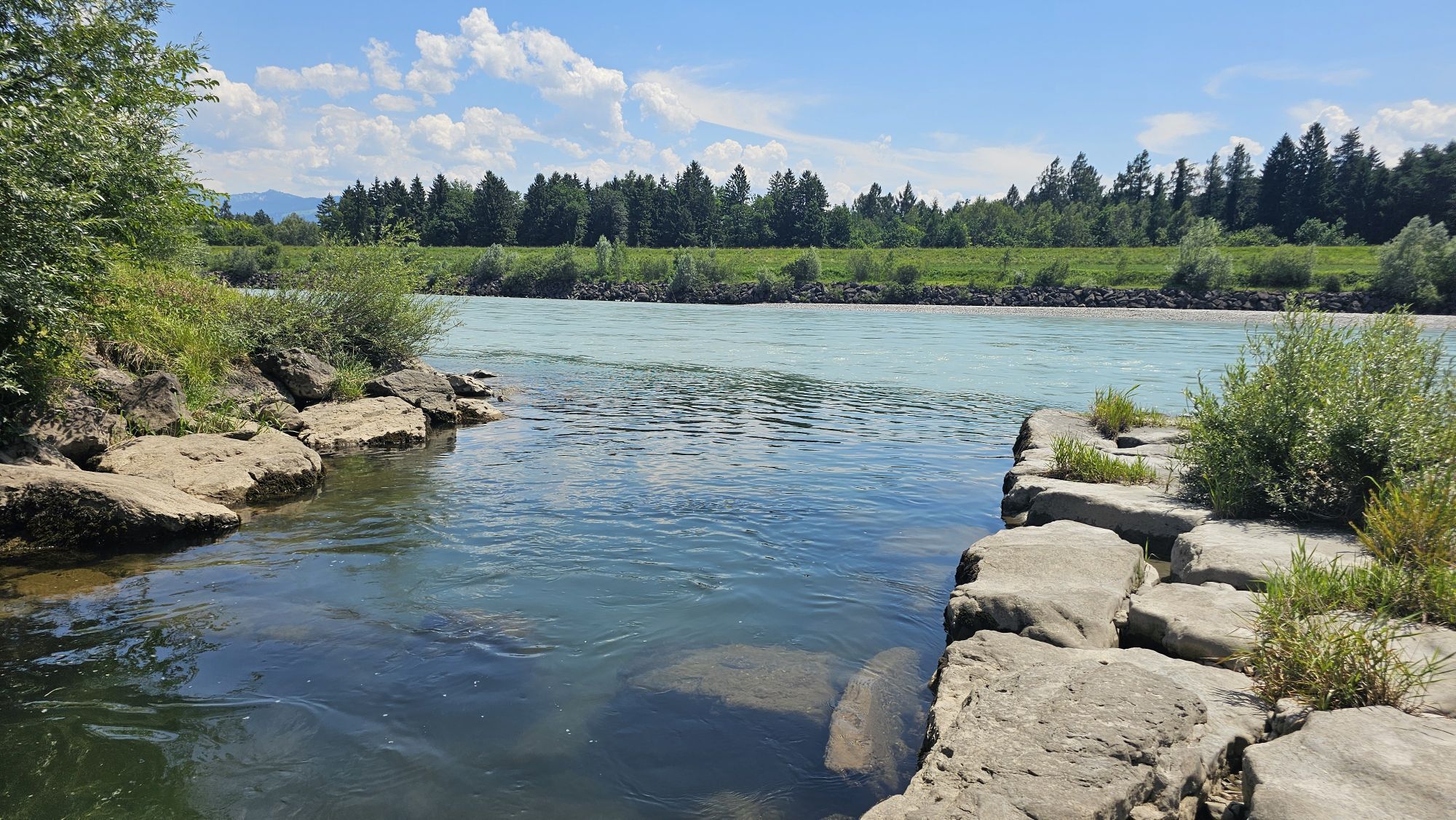
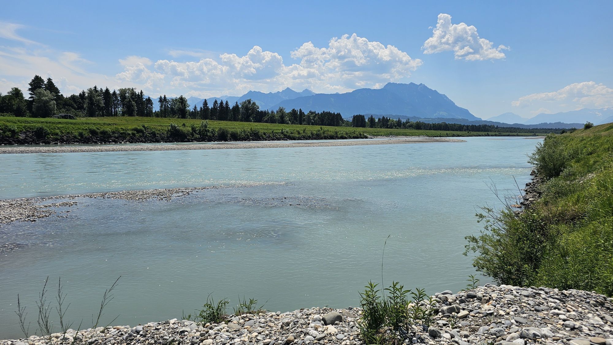
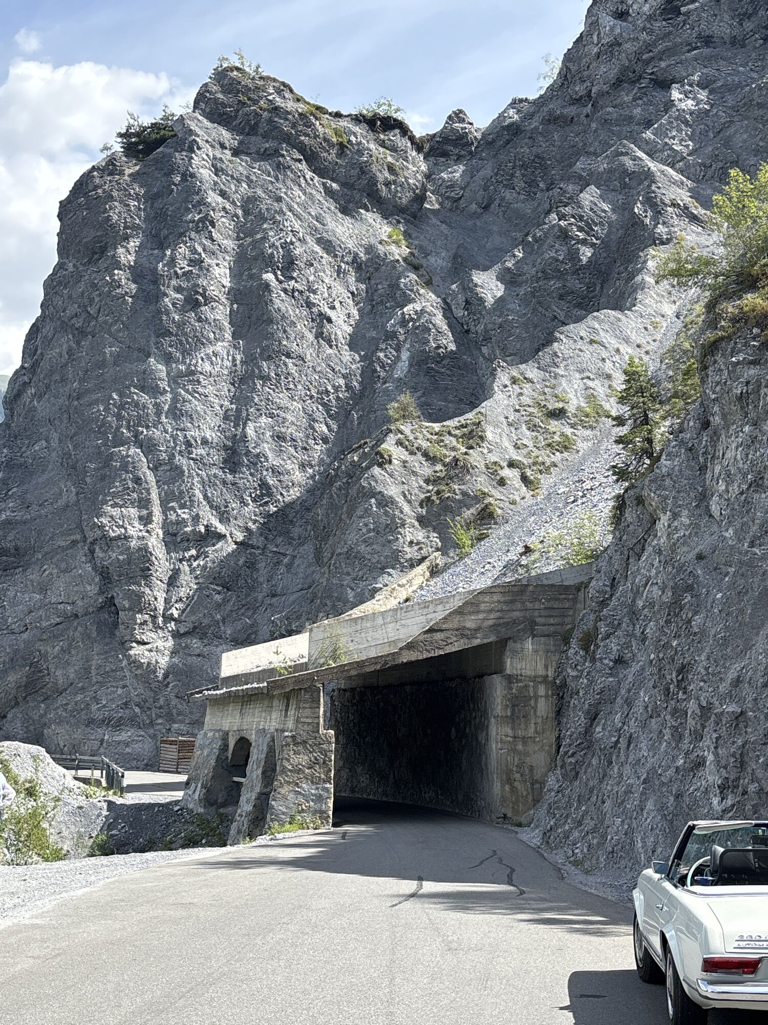
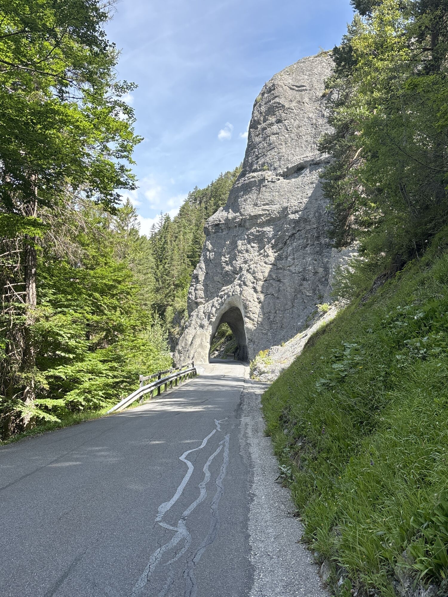
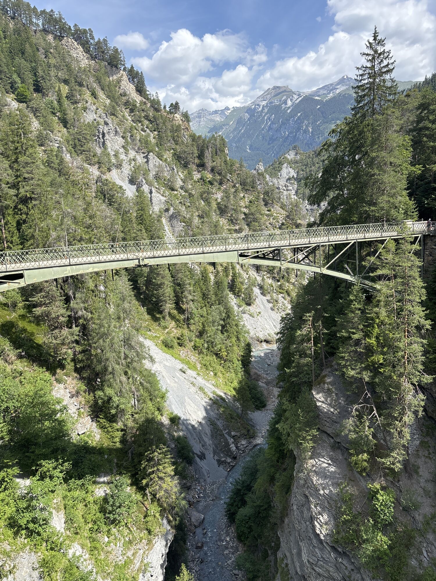
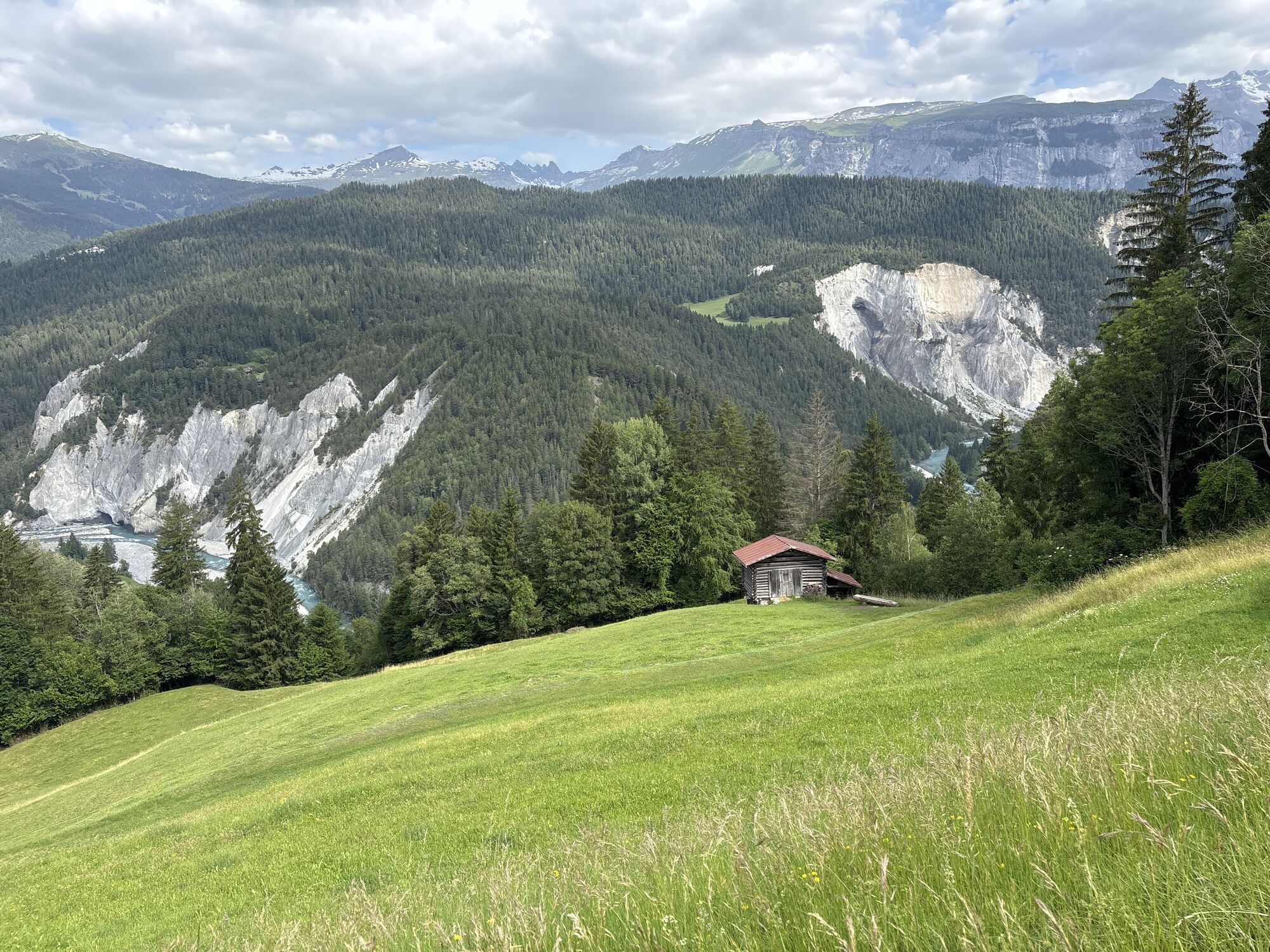
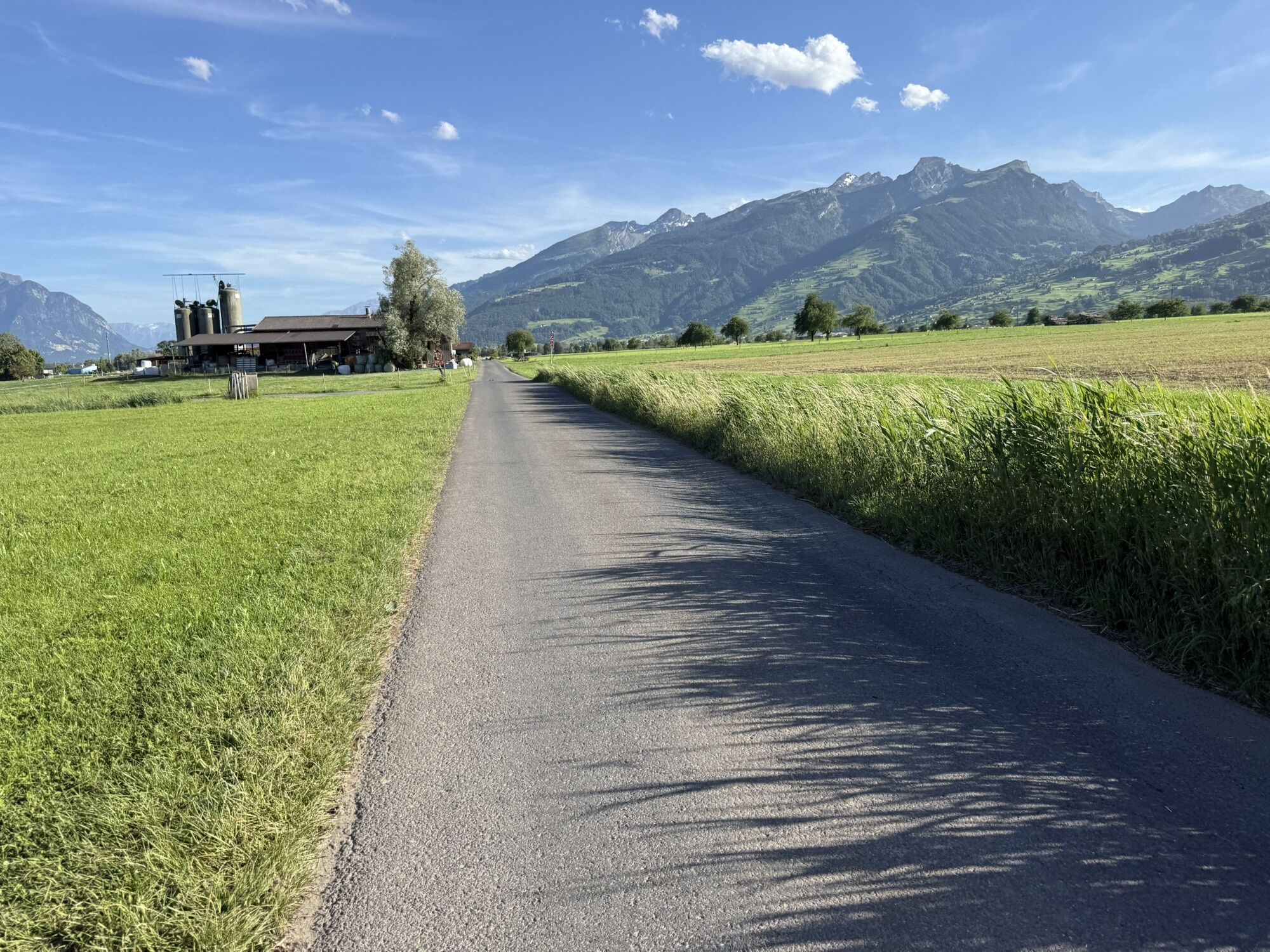
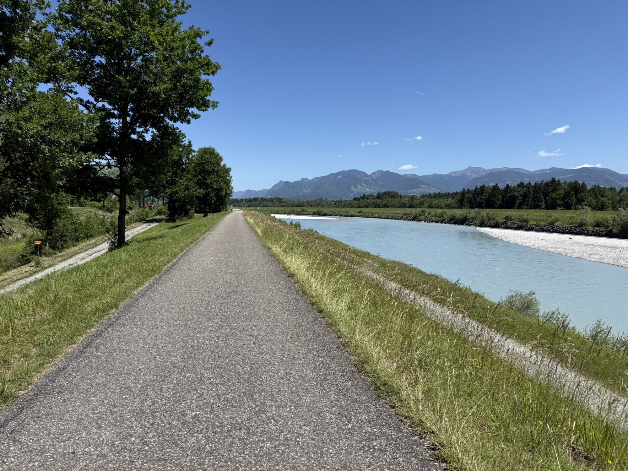
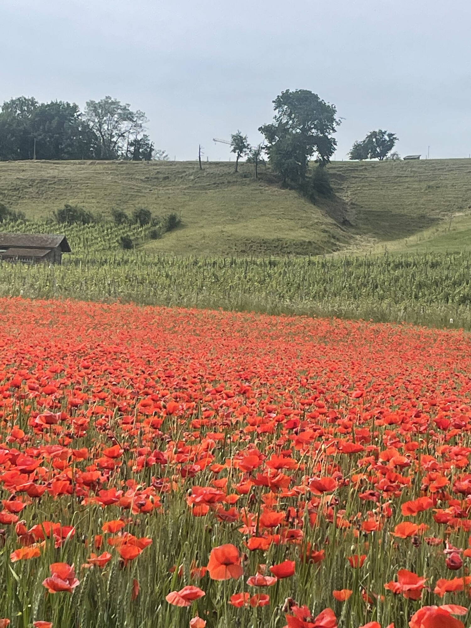
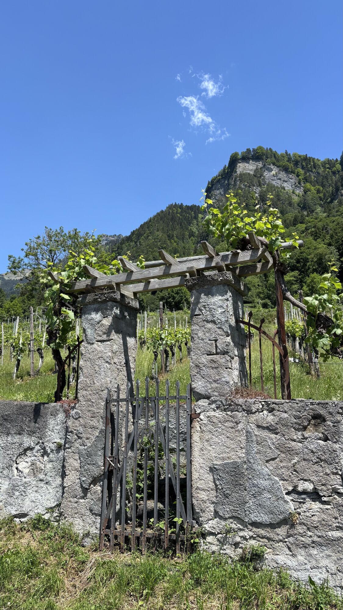
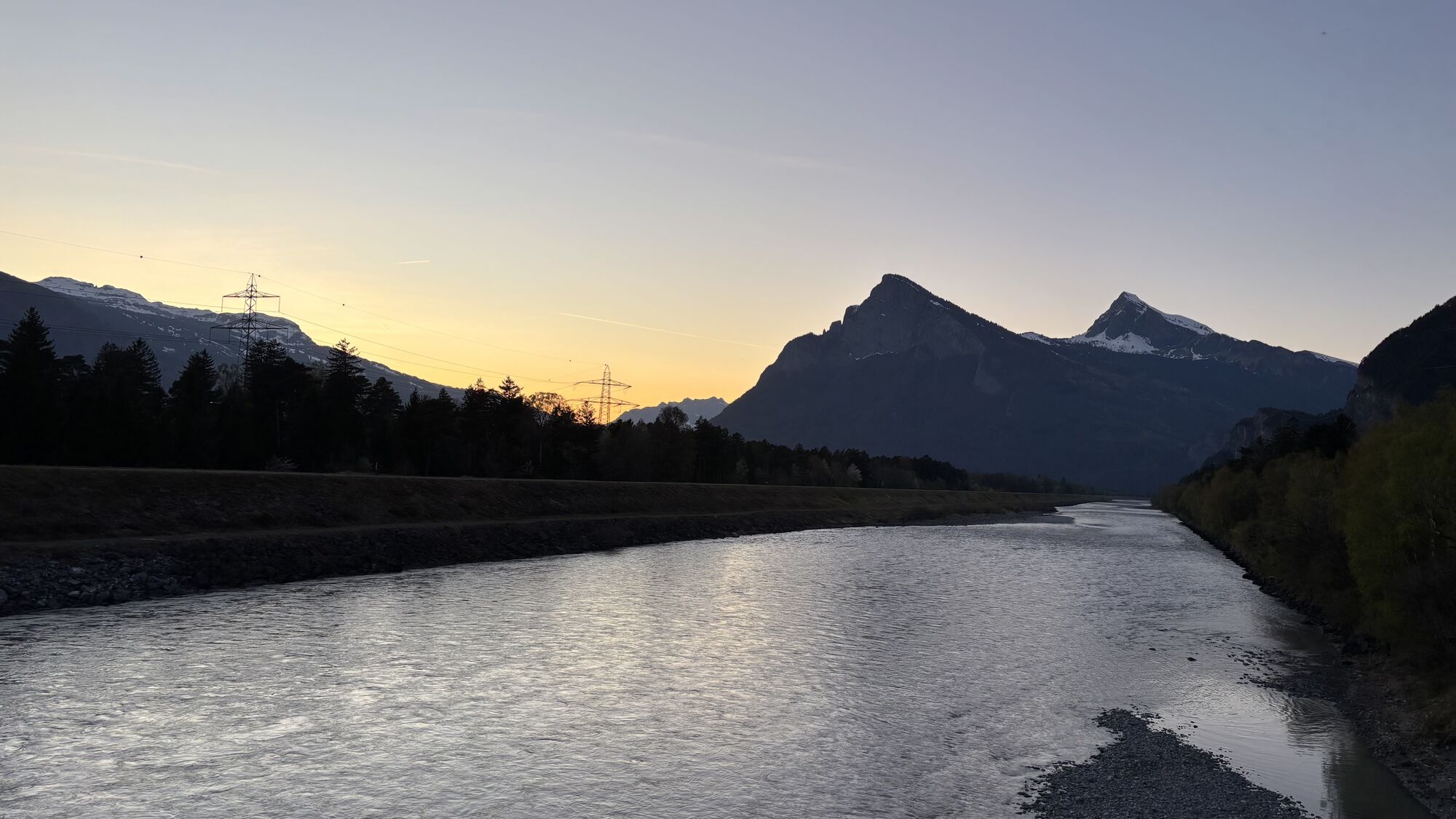
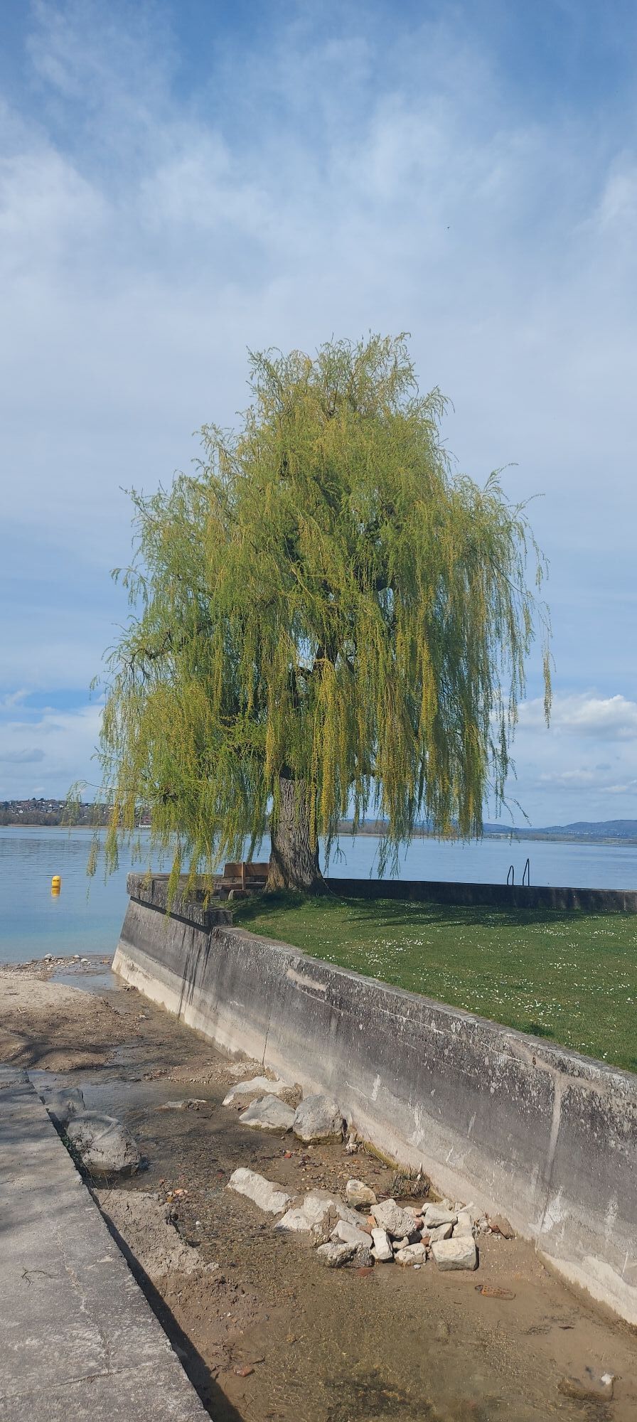
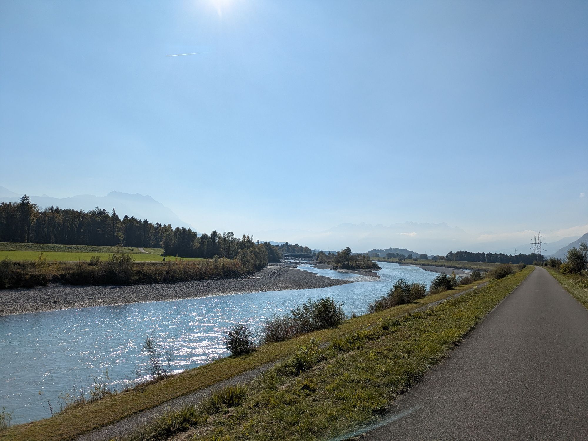
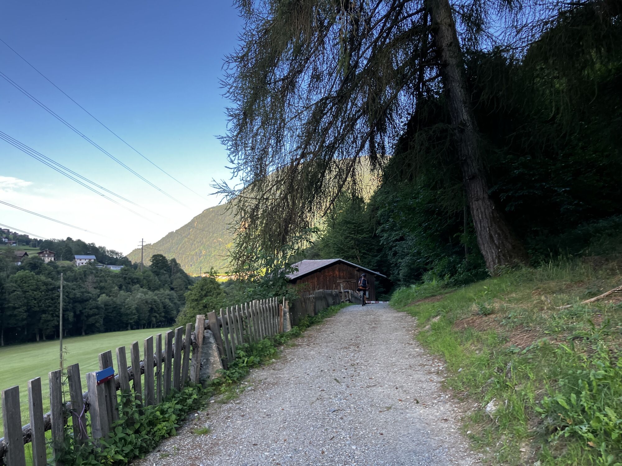
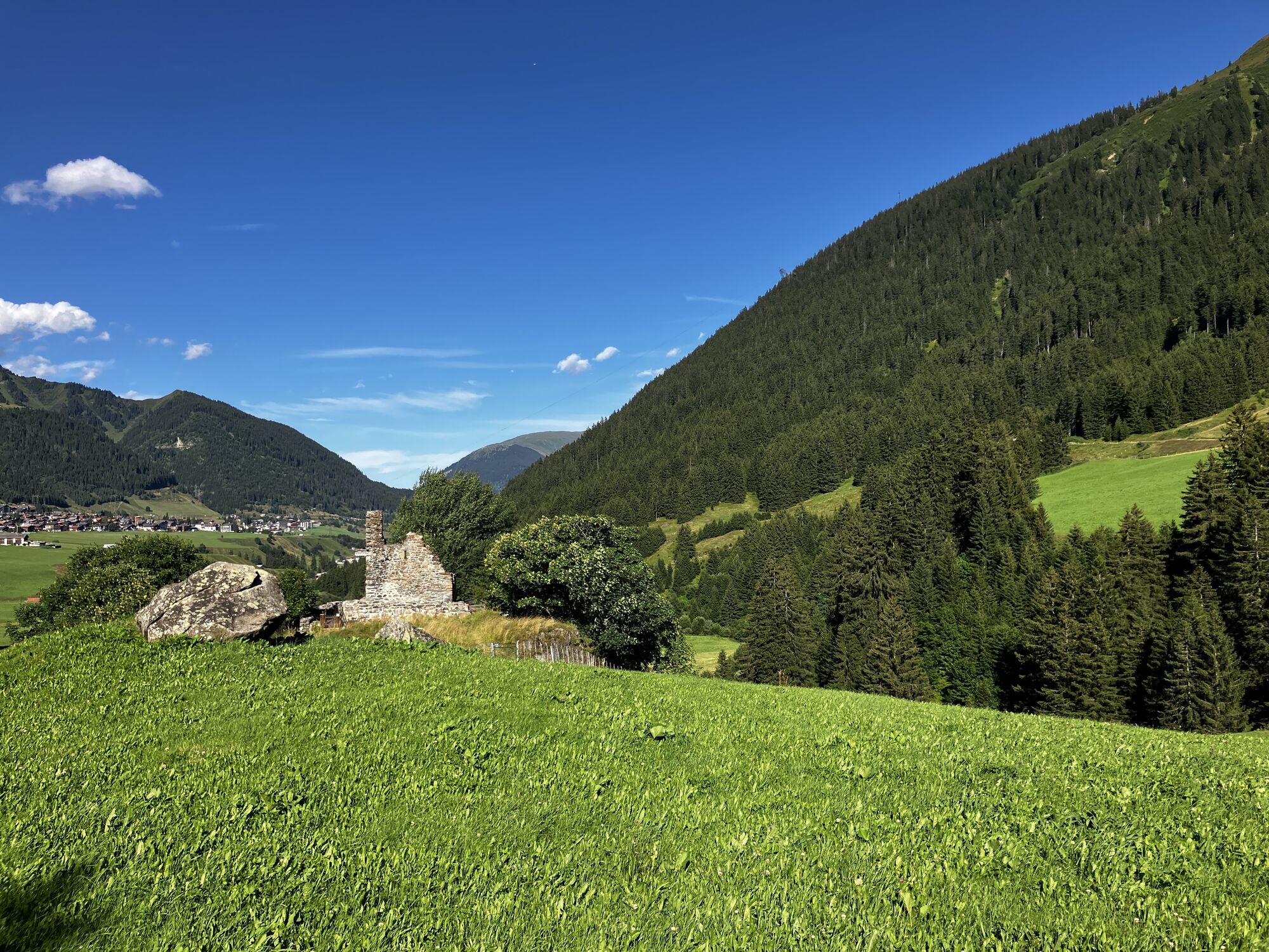
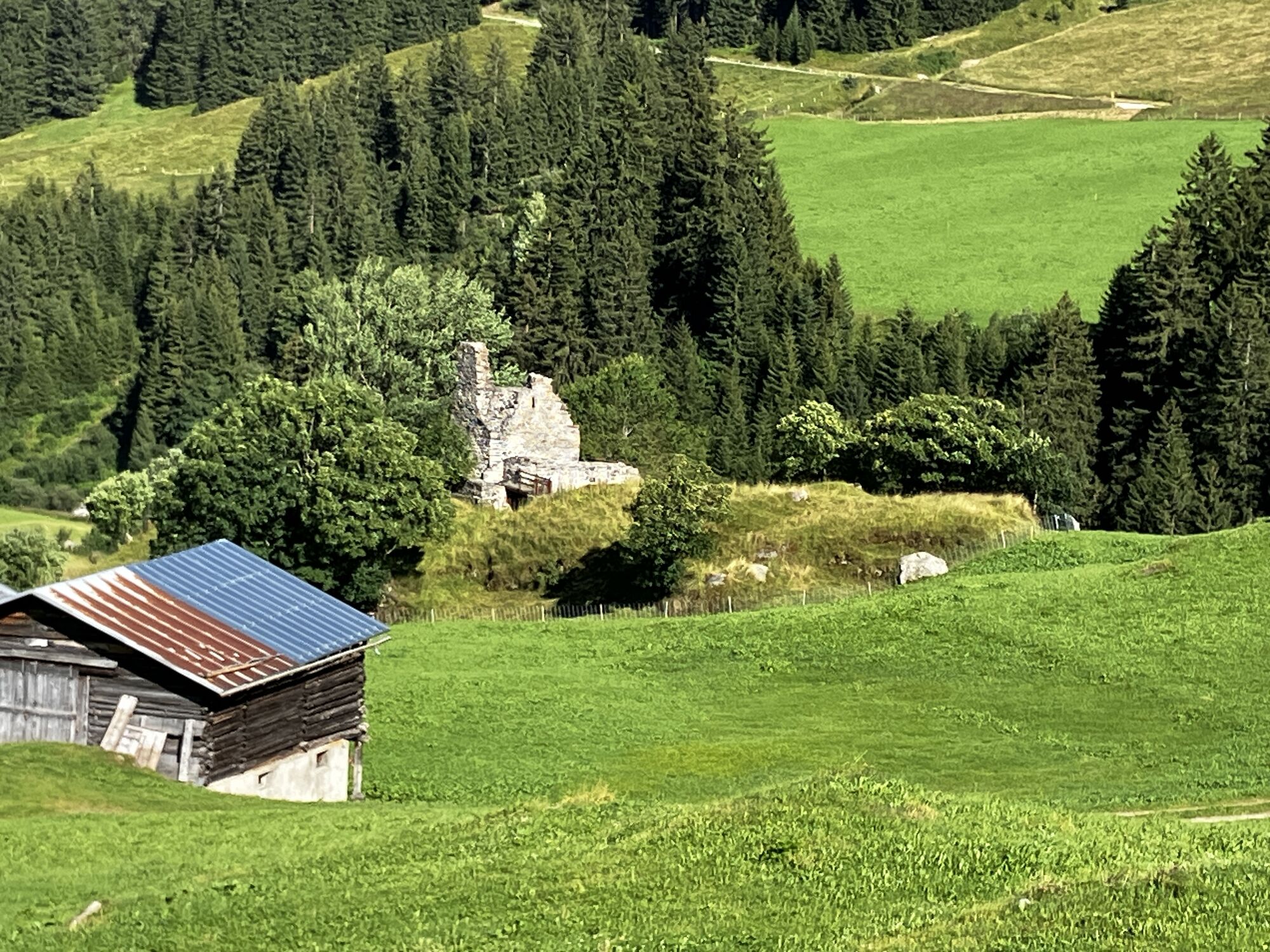
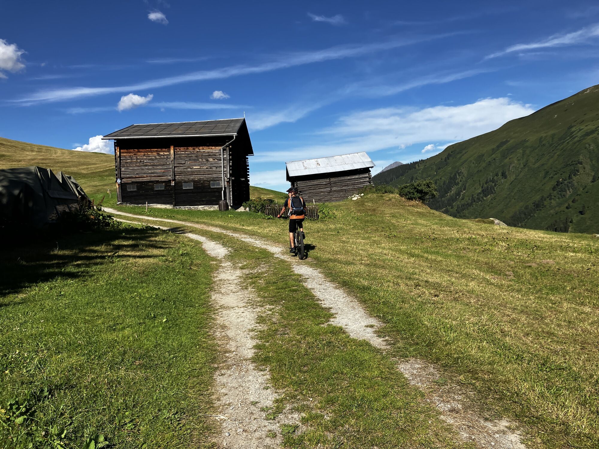
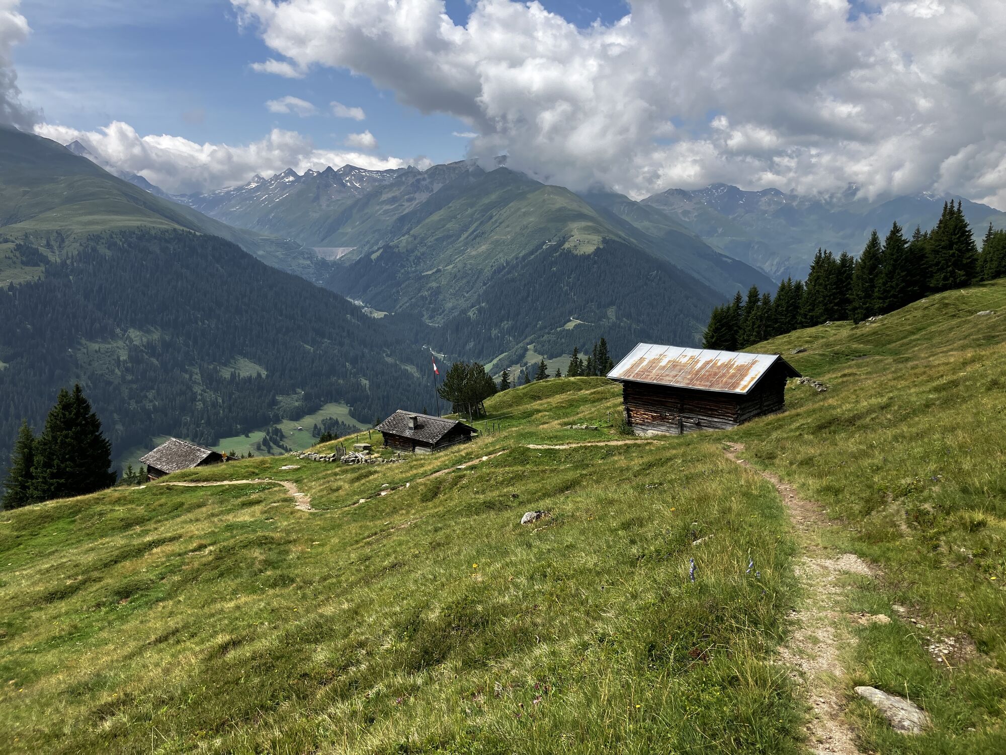
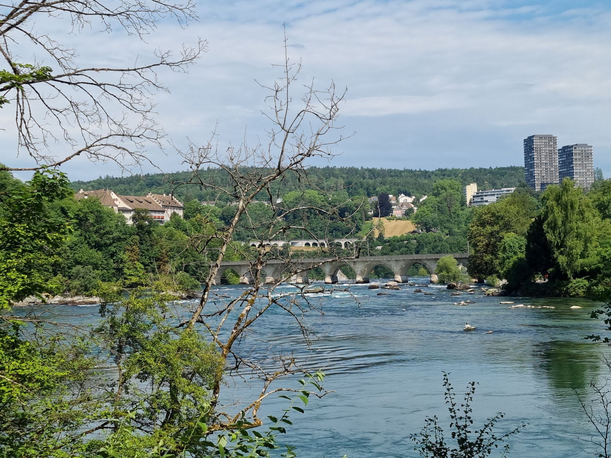
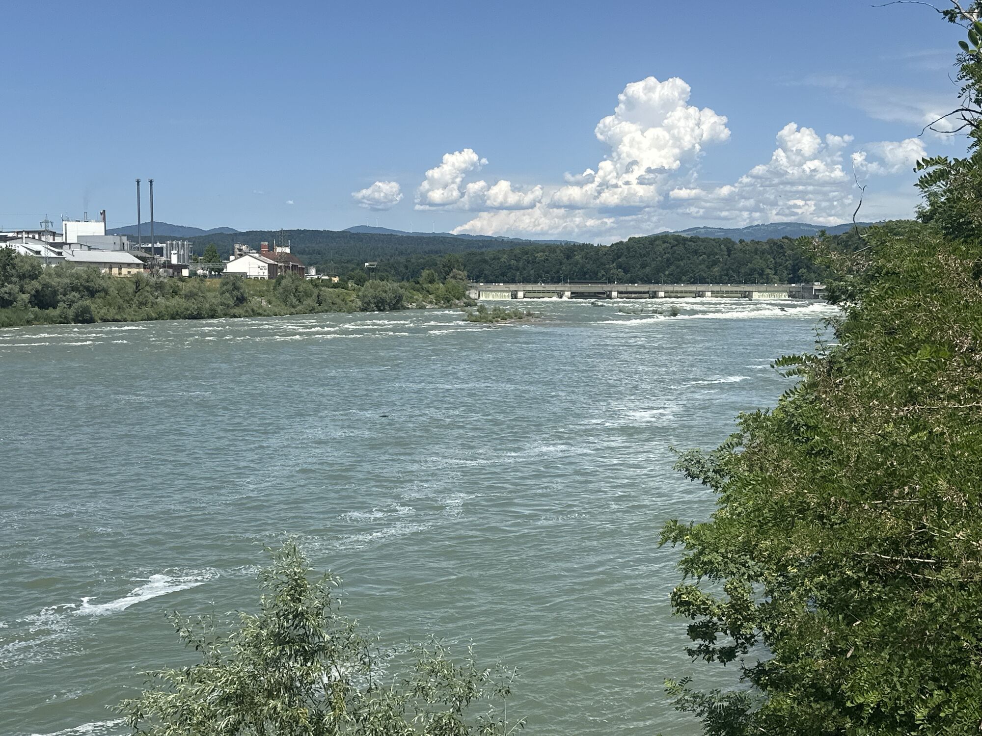
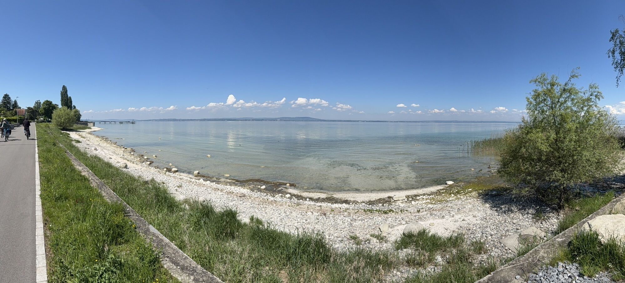
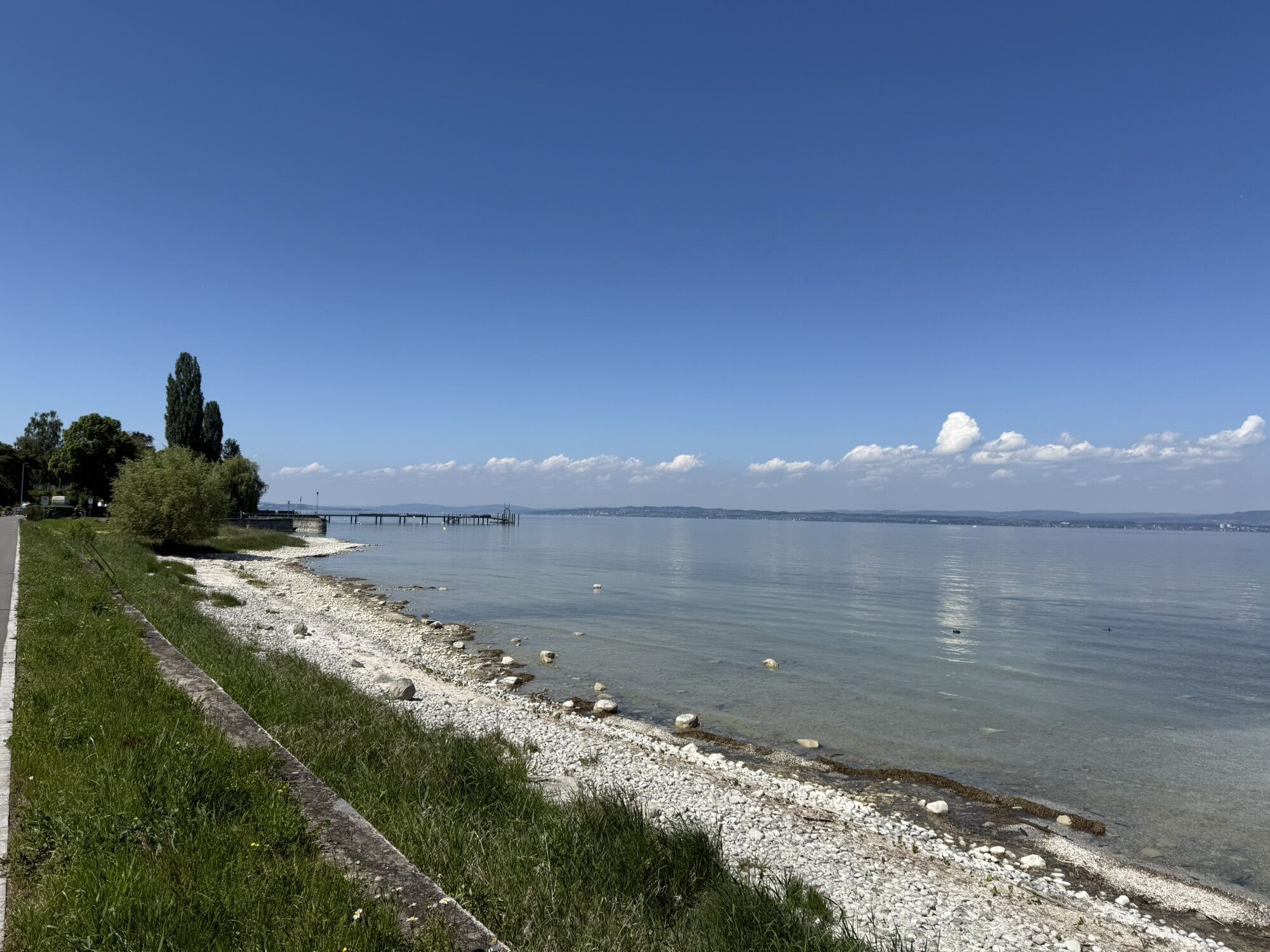
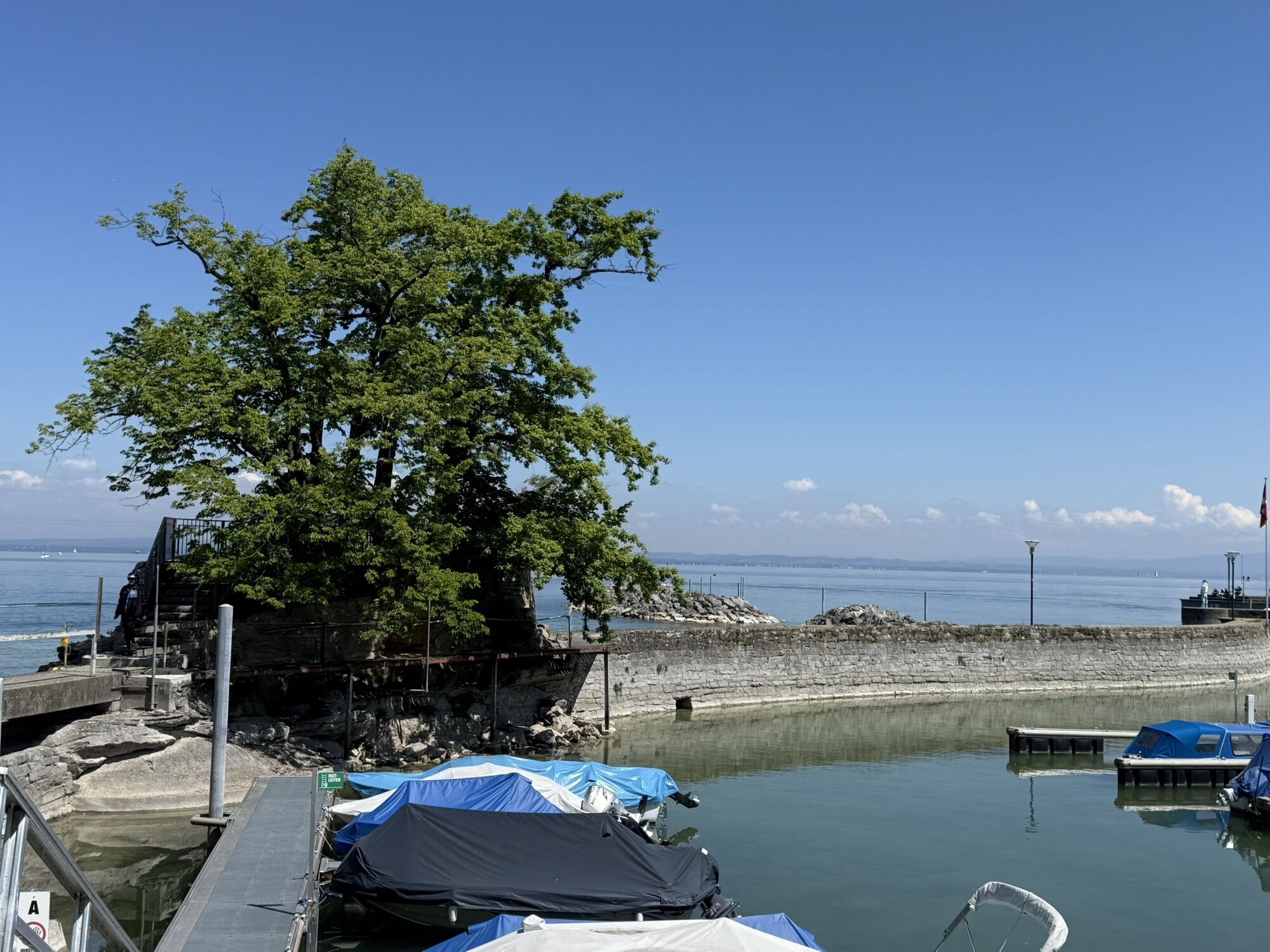
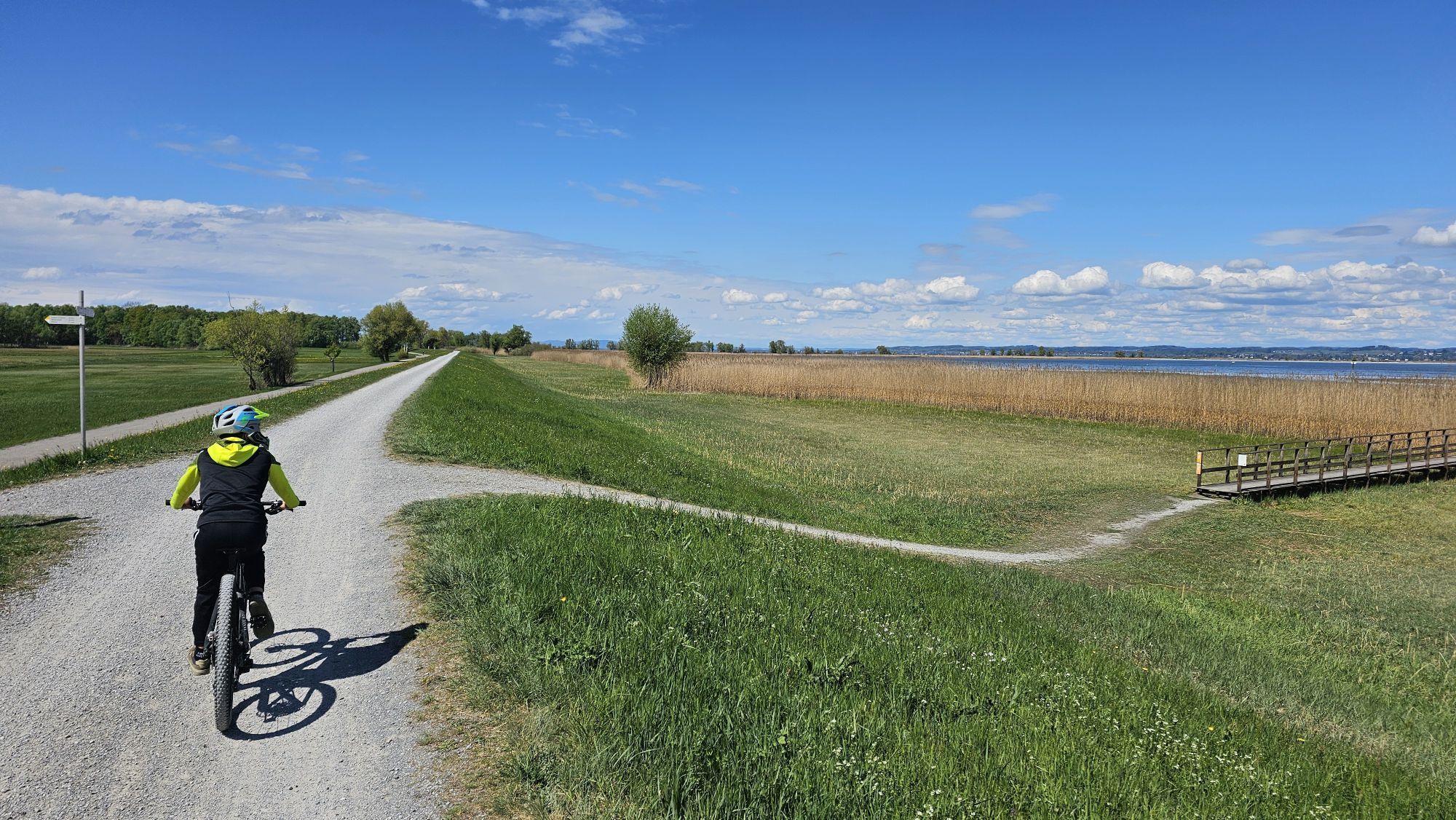
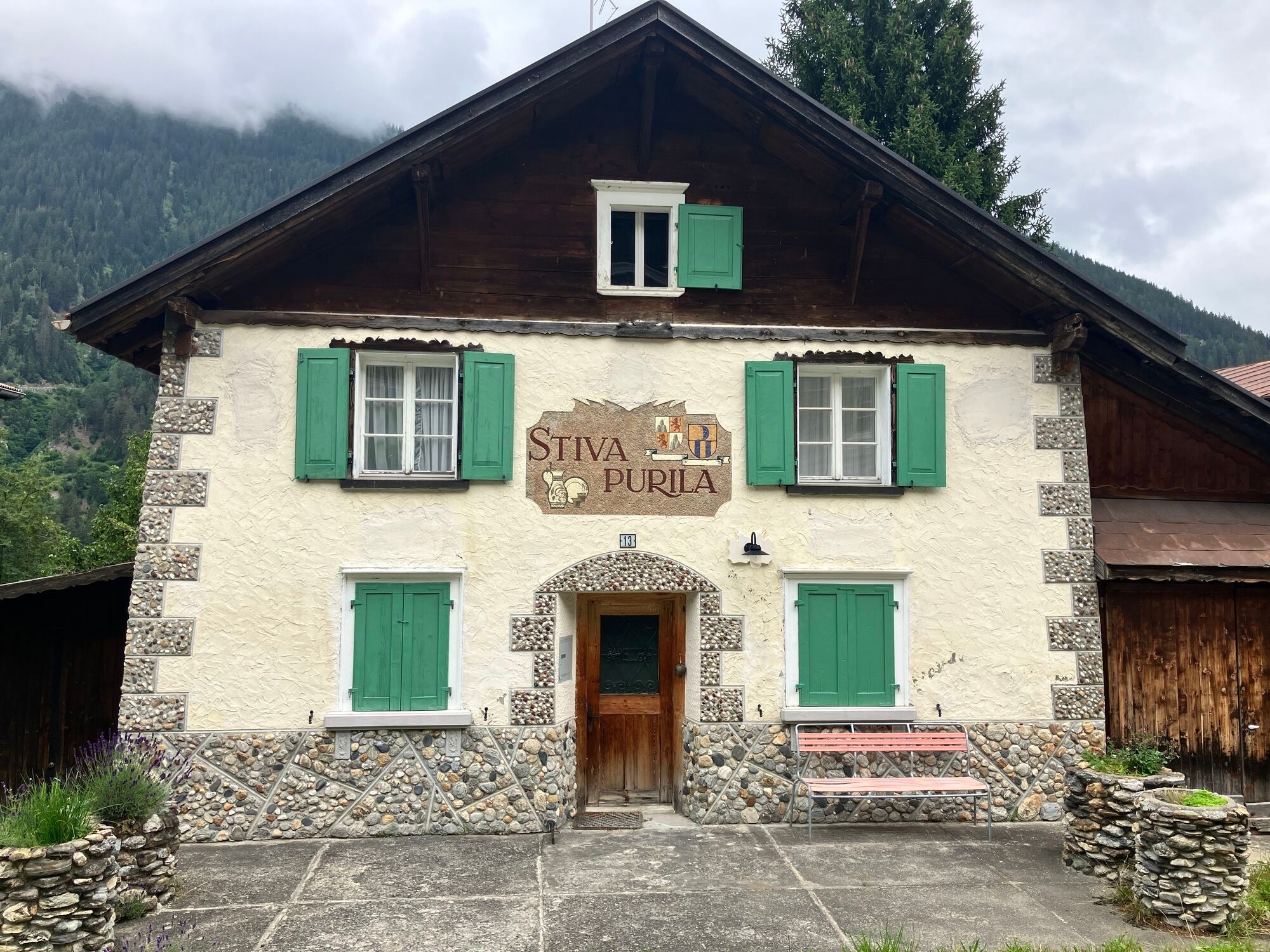
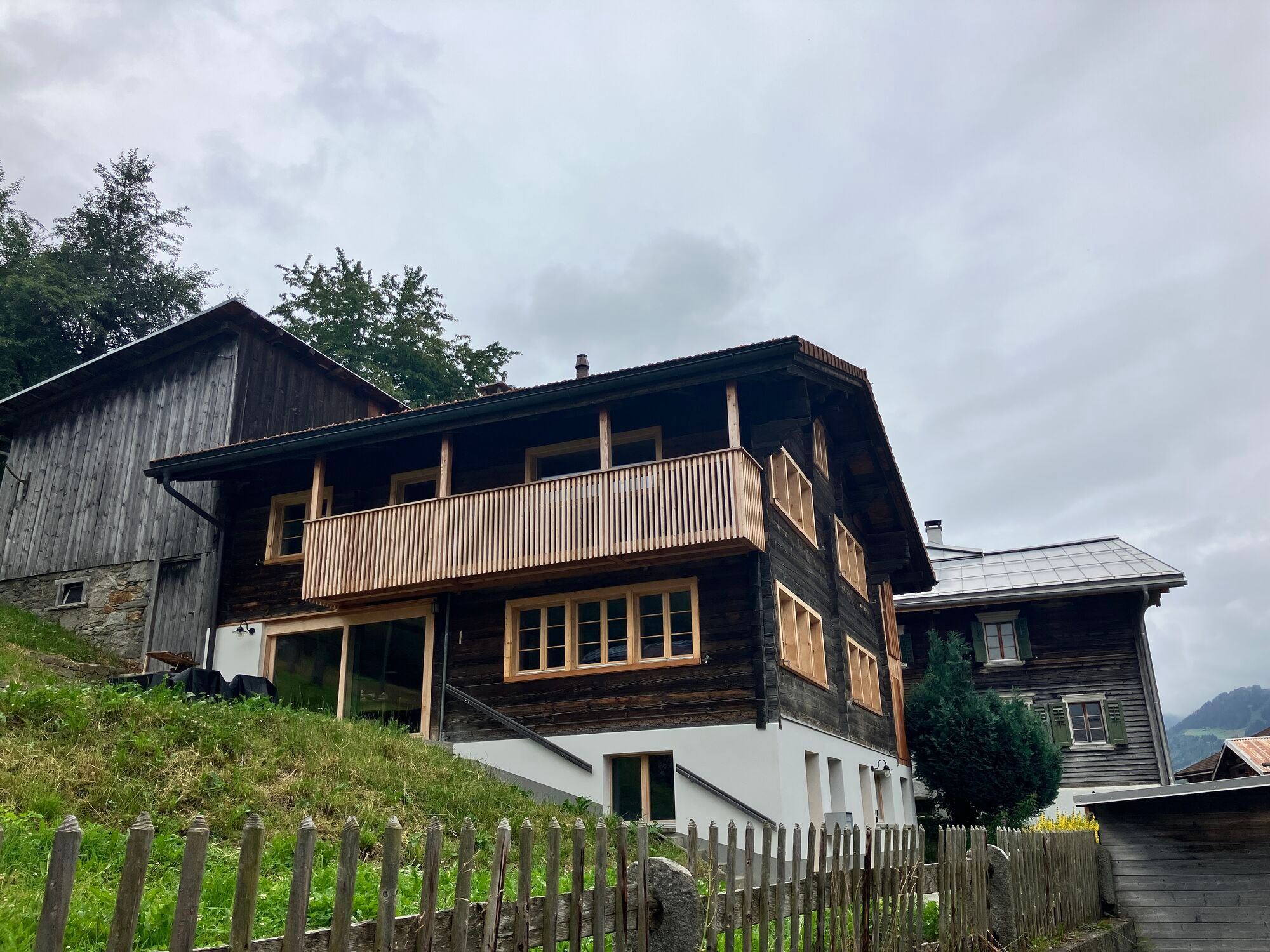
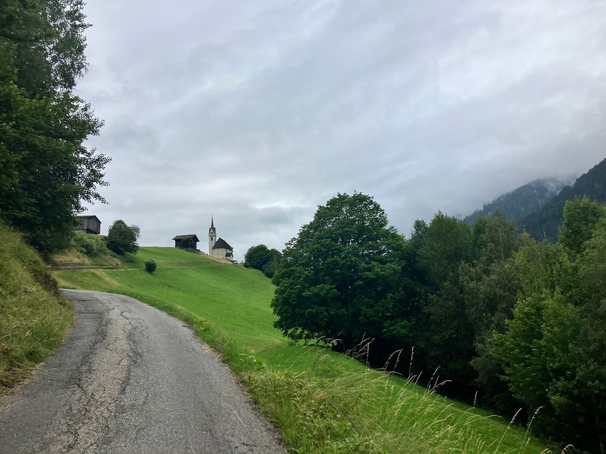

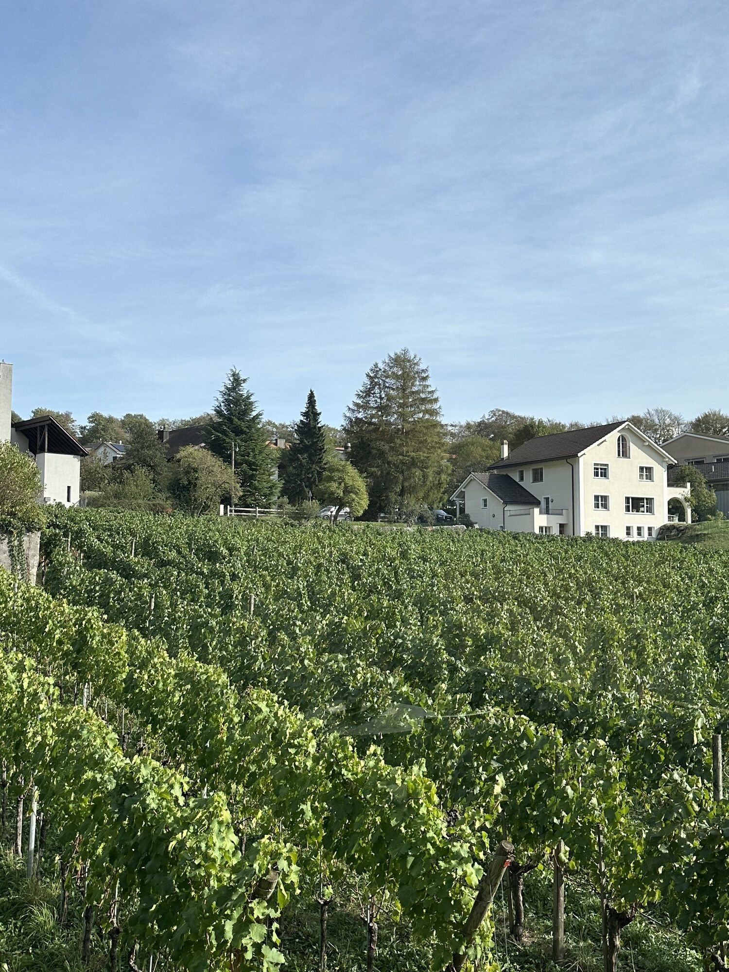
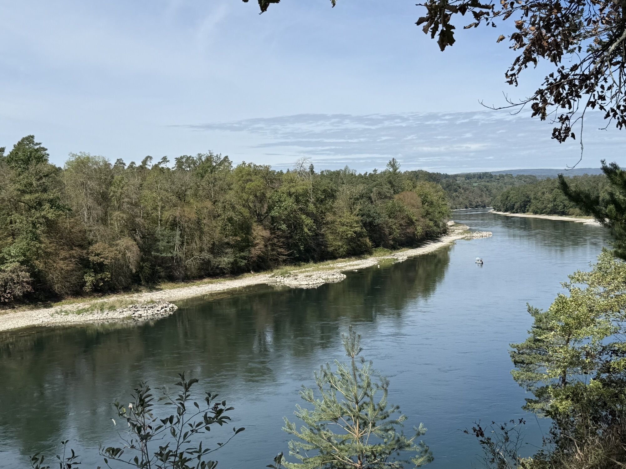
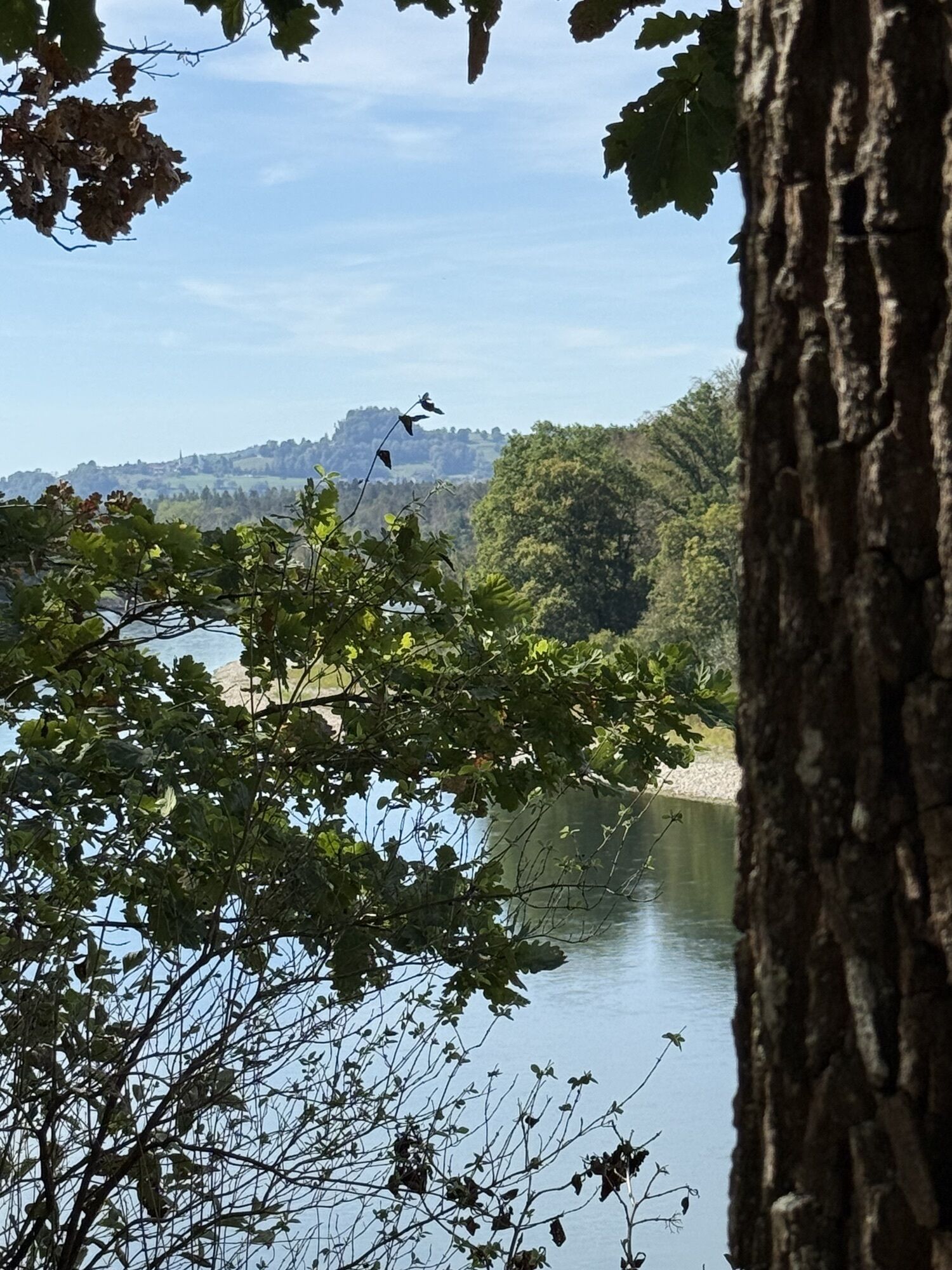
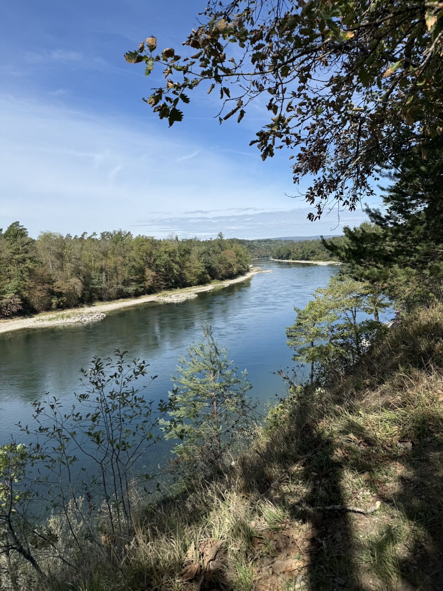
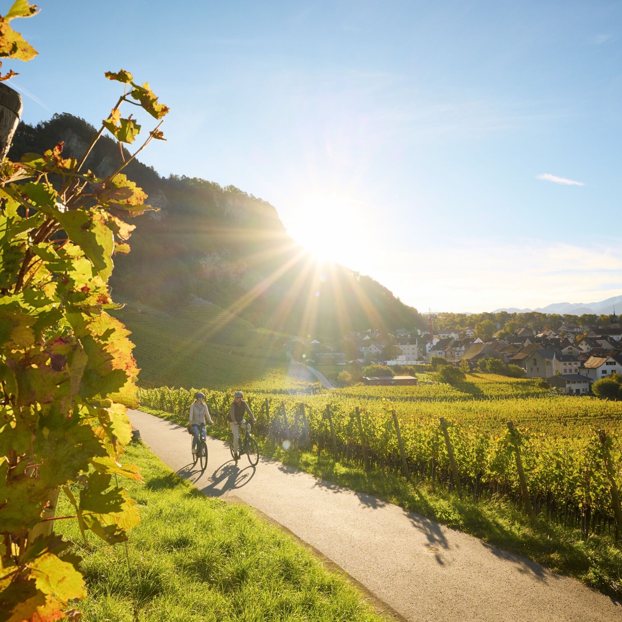
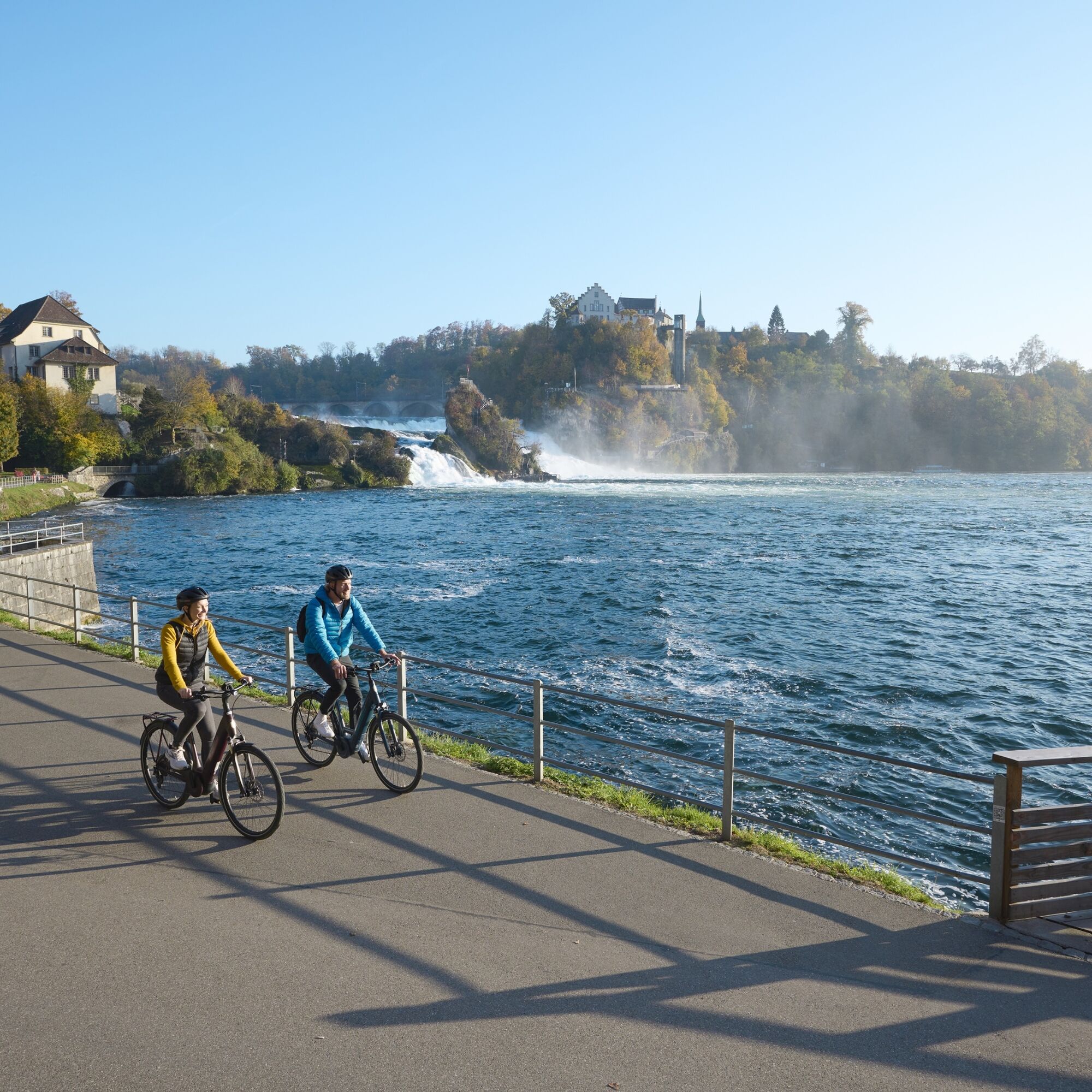
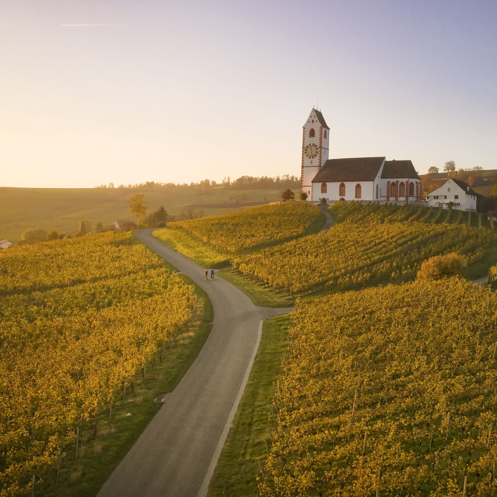
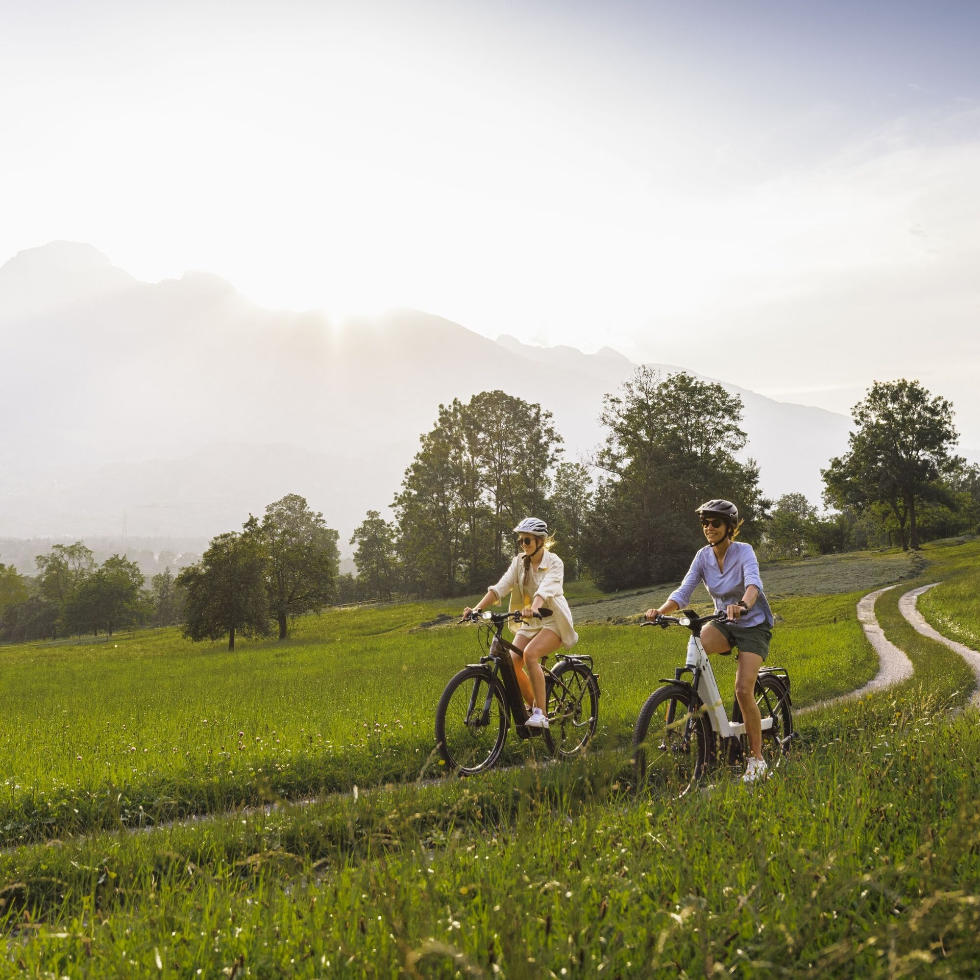
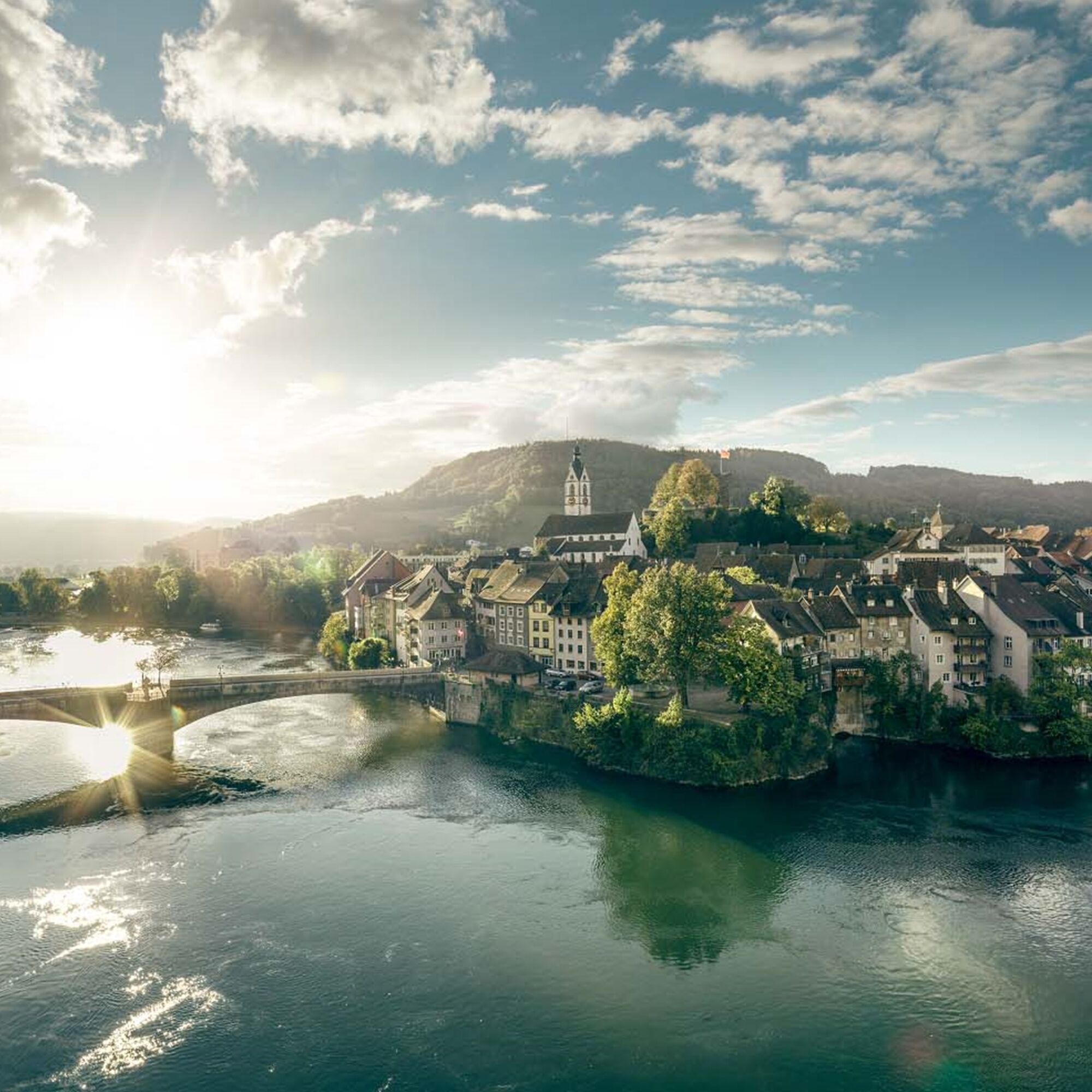
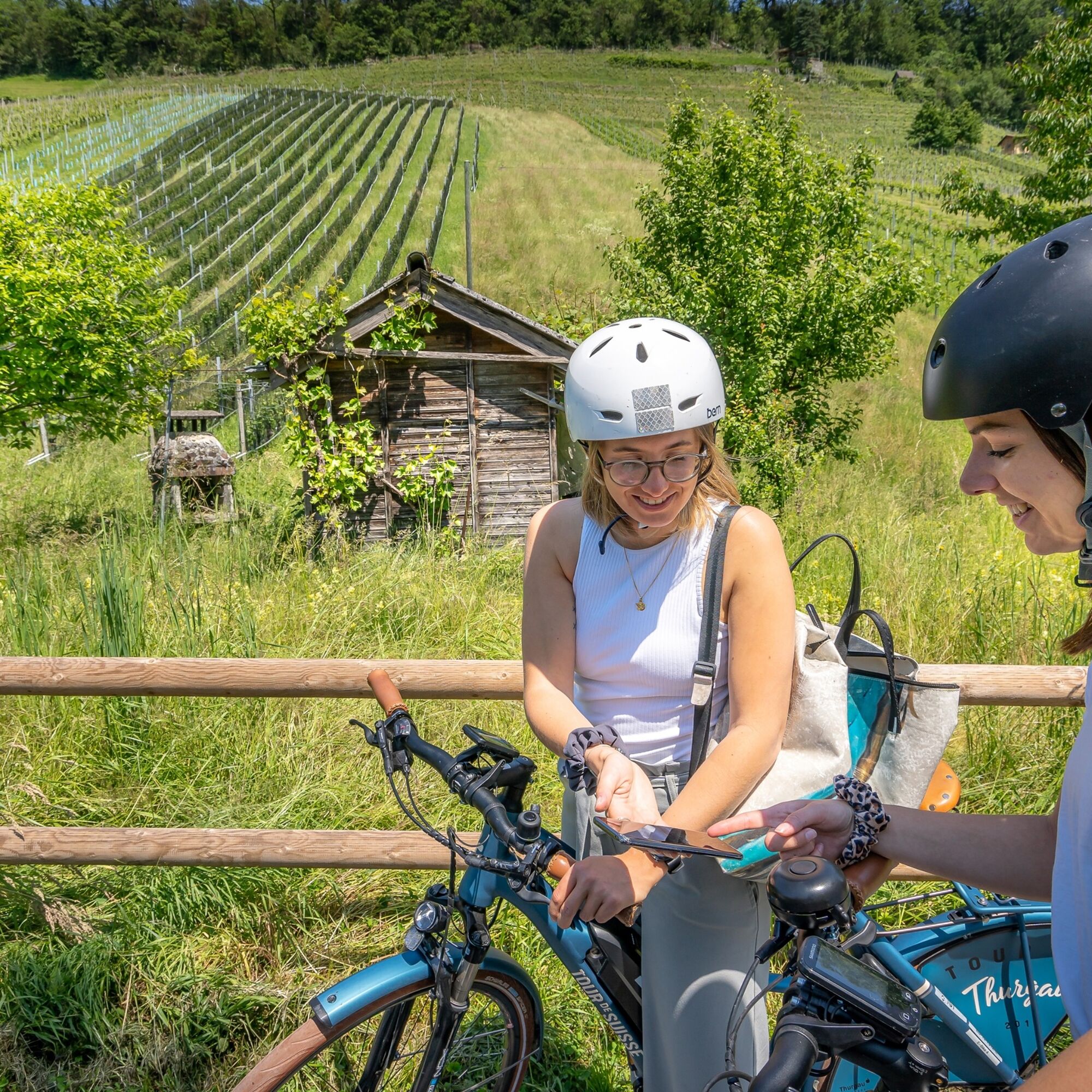
"RheinWelten" is a unique two-wheeled offer from the Rhine source to Basel for pleasure-seeking explorers. 45 local routes in 15 adventure worlds can be discovered in Switzerland and Liechtenstein by e-bike....
"RheinWelten" is a unique two-wheeled offer from the Rhine source to Basel for pleasure-seeking explorers. 45 local routes in 15 adventure worlds can be discovered in Switzerland and Liechtenstein by e-bike. The routes combine visits to producers and farm shops, tours of museums or wineries, as well as local gastronomy and accommodation options with the most beautiful cycling routes or hikes in the regions. The adventure worlds can be visited individually as day trips or as multi-day cycling trips.
Selected information on the new digital platform www.rheinwelten.com encourages you to discover new things. RheinWelten takes you through 12 tourist destinations in six cantons as well as the Principality of Liechtenstein. Experience and learn about unique cultural landscapes and the culinary diversity along the Rhine with the e-bike.


Rhein Route 2: Andermatt - Oberalppass - Disentis - Trun - Ilanz - Versam - Reichenau - Chur - Landquart - Jenins - Maienfeld - Sargans - Buchs - Oberriet - Altstätten - St. Margrethen - Fussach (D) - Gaissau (D) - Rohrschach - Arbon - Romanshorn - Kreuzlingen - Steckborn - Stein am Rhein - Gailingen (D) - Schaffhausen - Dachsen - Ellikon - Eglisau - Zurzach - Felsenau - Laufenburg - Stein - Rheinfelden - Pratteln - Muttenz - Basel
Traffic-safe (e-) trekking bike, bicycle helmet, saddle bags or trekking bike backpack (approx. 35 liters) with rain cover, comfortable sports shoes, if applicable bike shoes, weather-appropriate and durable clothing in multi-layer principle, if applicable cycling jersey, change of clothes, cycling gloves, air pump, bicycle tool, sun and rain protection, provisions and drinking water, drinking bottle and suitable holder, first aid kit, pocket knife, mobile phone, if applicable mobile phone holder for the handlebar, headlamp and reflectors, map material, travel documents, toiletry bag and travel towel, hand wash detergent and clothesline.
Motorway exit Göschenen towards Andermatt
Arrival by train to Andermatt possible
Paid parking spaces available
1
The goal is not the path, but the adventure worlds of RheinWelten.
Oblíbené prohlídky v okolí
- 5.0
Grub SG/Heiden Bhf+Kiosk/GrubSG
světloTuristika 5.38 km Rheinholz Wanderung
světloTuristika 4.35 km- 5.0
St. Anton, Oberegg, Sonnenplatte, Büriswilen, Husen
středníE-MTB 33.4 km - 5.0
Wunderschöne Runde Walzenhausen
světloTuristika 9.50 km Von Lustenau zur Hohen Buche und Gäbris und retour
heavyMountainbike 51.5 km- 1.0
Fünfländerblick-Hängebrücke/Grub-Kaien
středníMountainbike 48.3 km Lustenau über den Kaien zum Gäbris
heavyMountainbike 58.5 km- 5.0
Kaienspitz über Heiden und Grub
světloTuristika 15.8 km Auf die Räder, fertig. Urlaub! Die Bodensee-Radstory AUF EIN GRÜEZI IN DIE SCHWEIZ
heavyJízda na kole 71.9 kmBregenz - St. Sebastian - Katholische Kirche St. Kolumban und Konstantius - Im Bahnhof
světloJízda na kole 51.9 km
Pěší turistika a stopování


Nenechte si ujít nabídky a inspiraci pro vaši příští dovolenou
Vaše e-mailová adresa byl přidán do poštovního seznamu.





