


Route 1291
Úroveň obtížnosti: 2
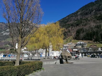
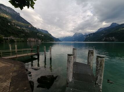
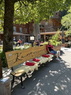
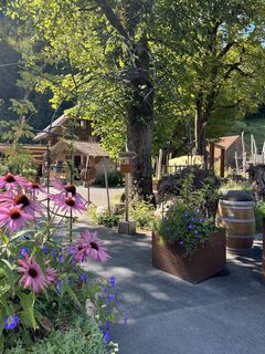
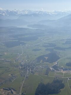
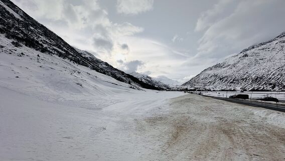
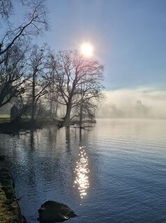
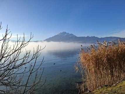
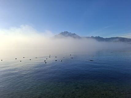
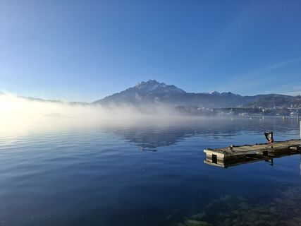
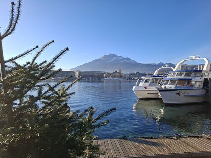
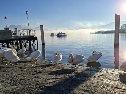
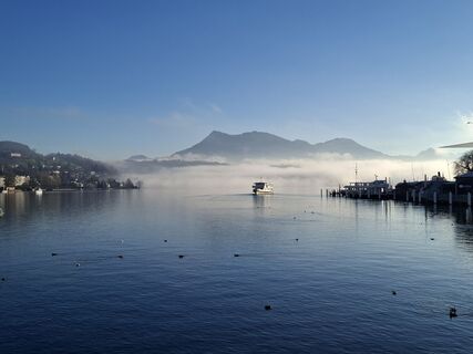
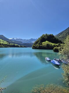
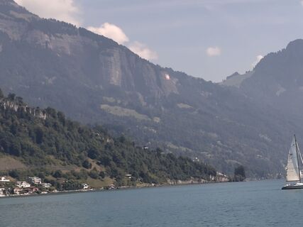
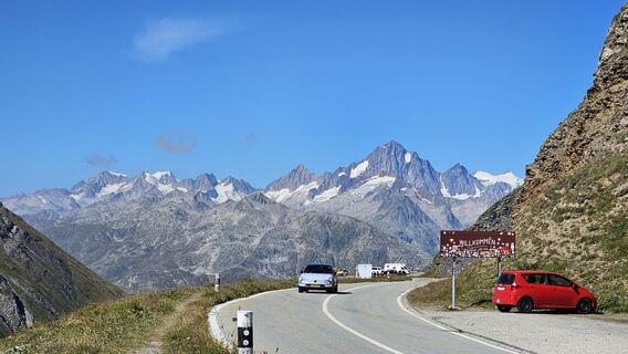
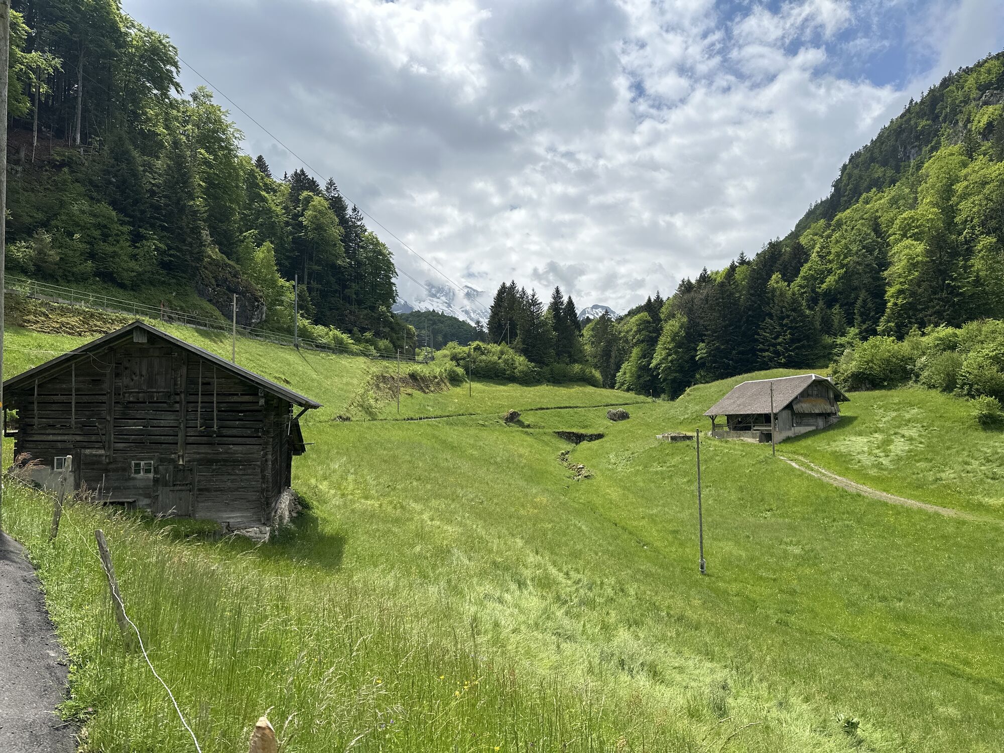
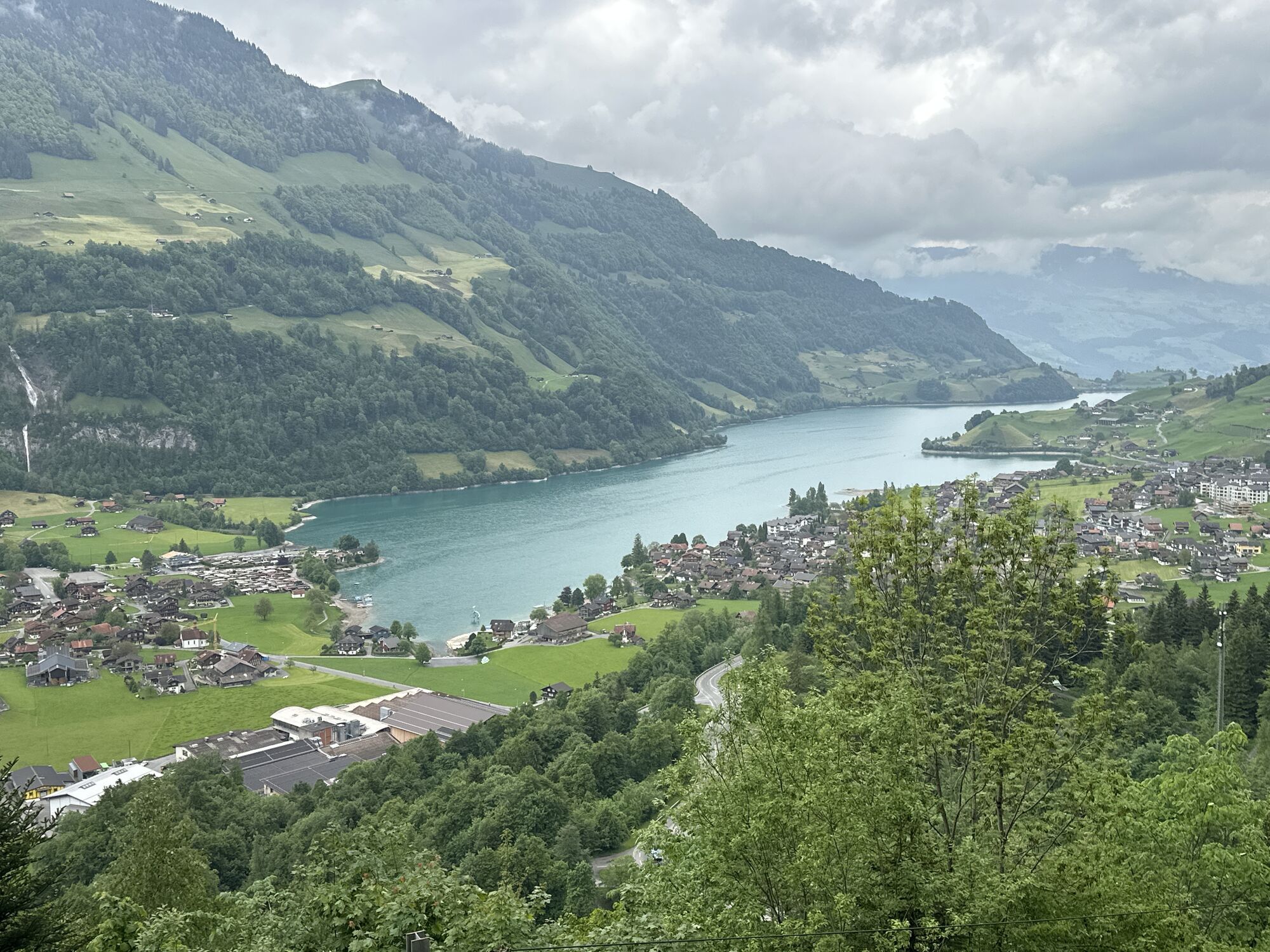
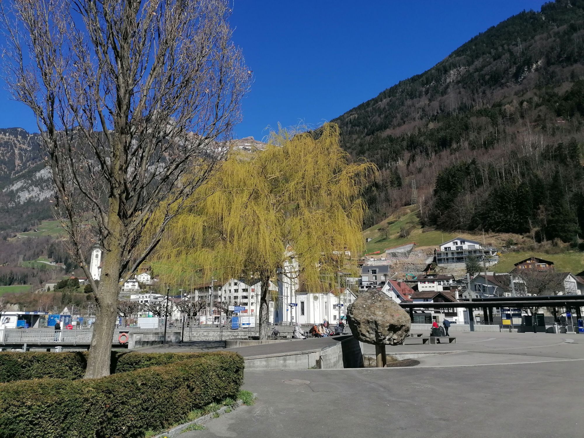
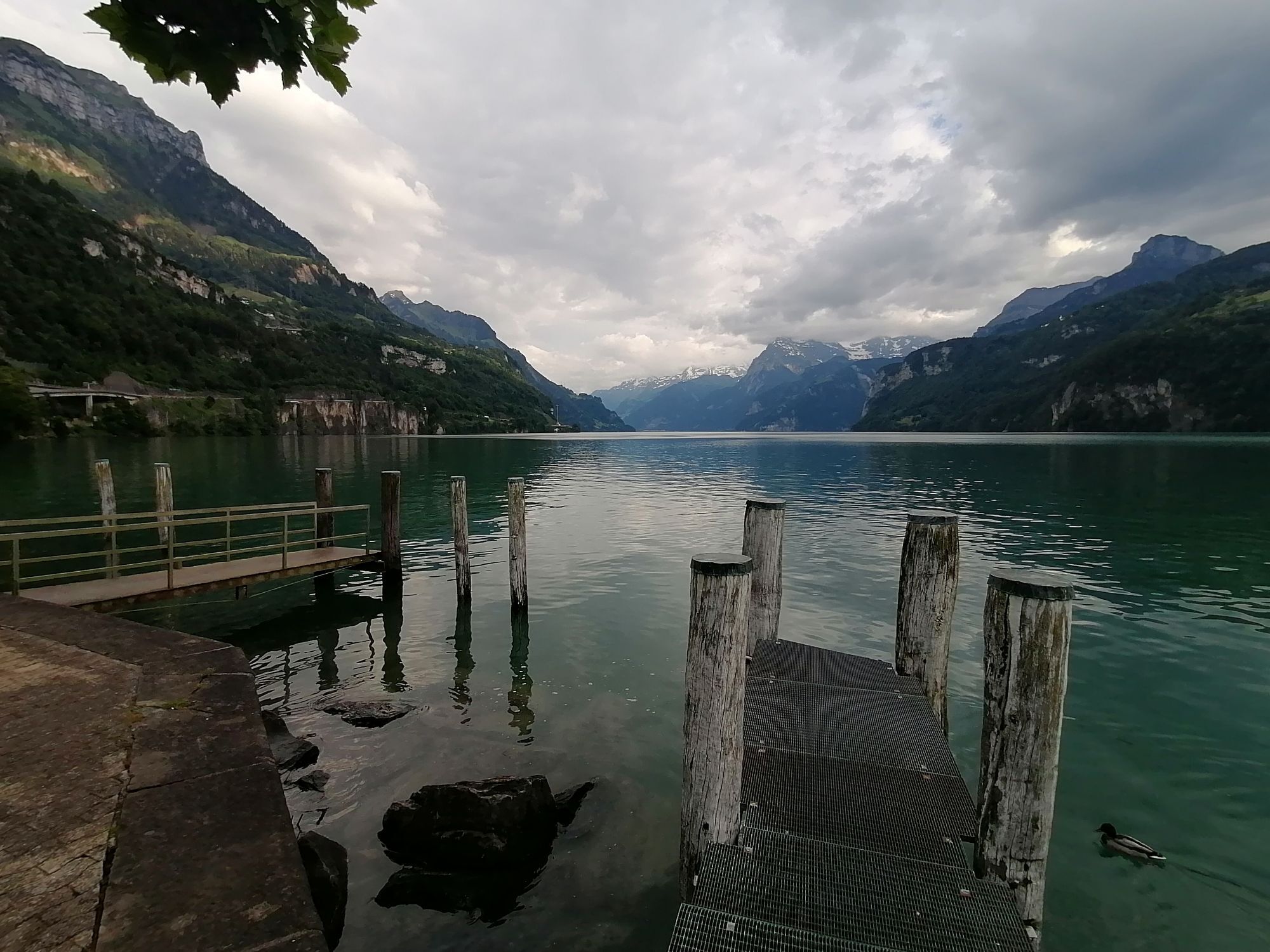
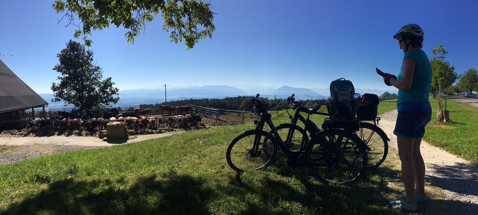
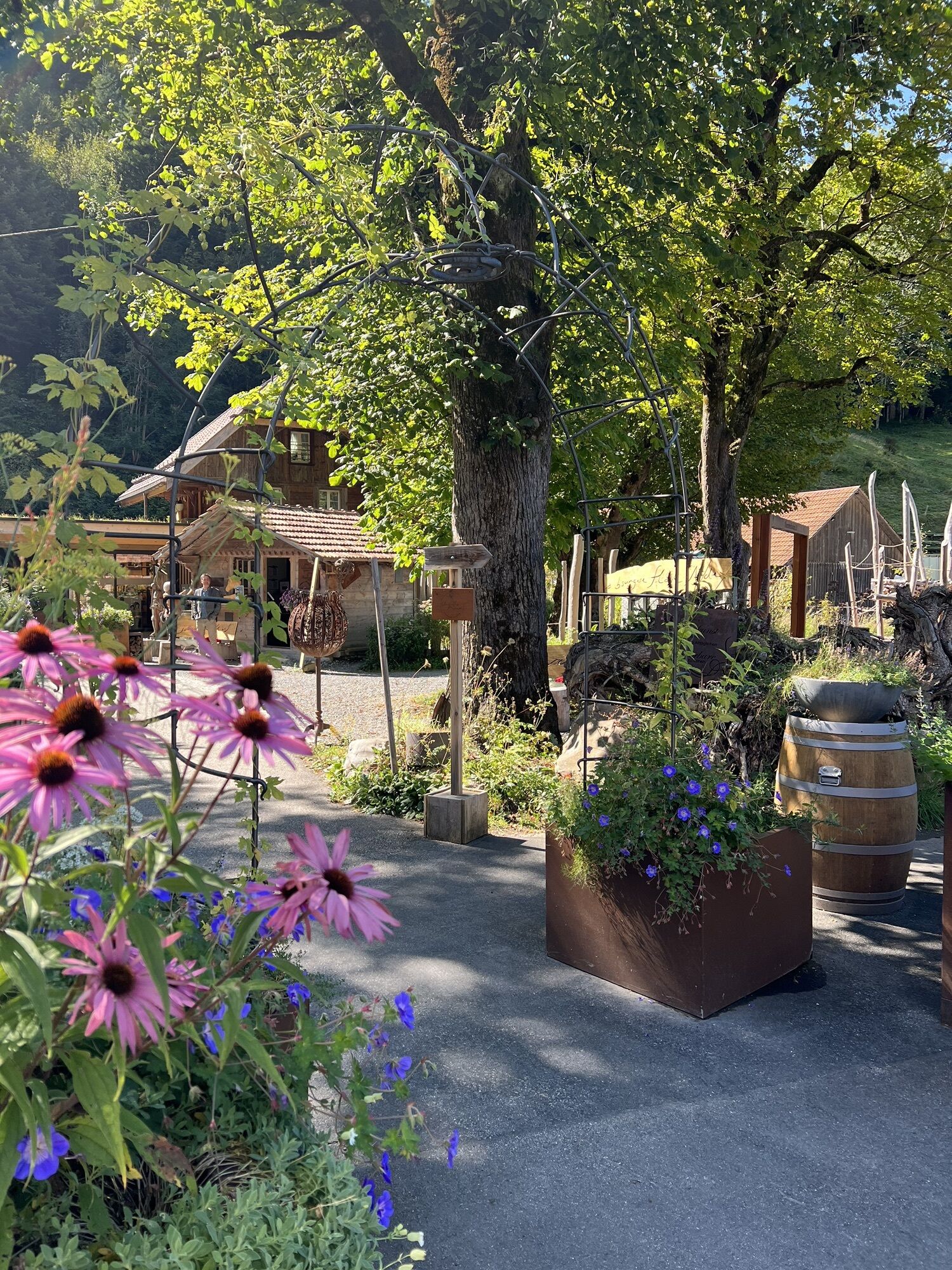
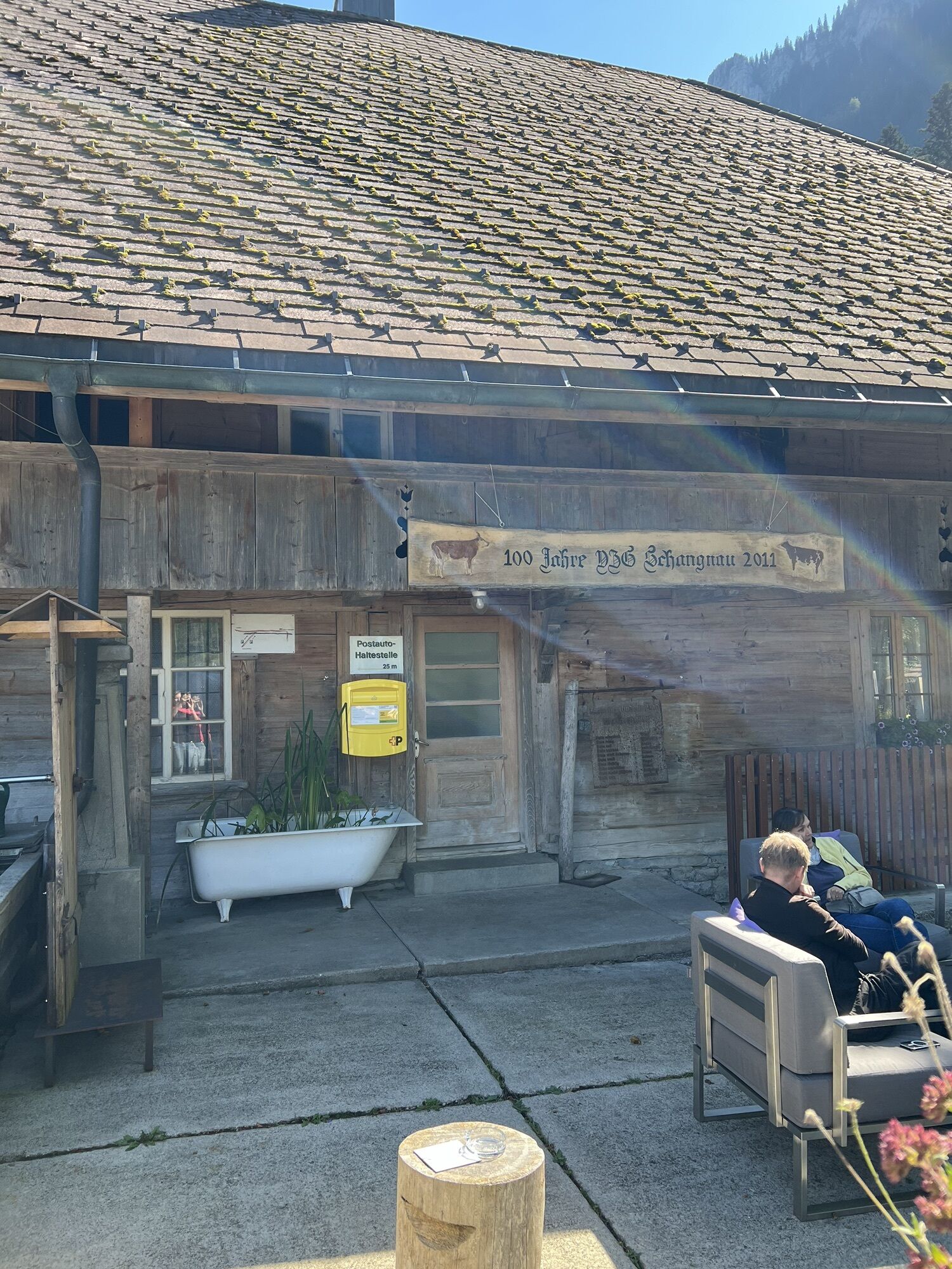
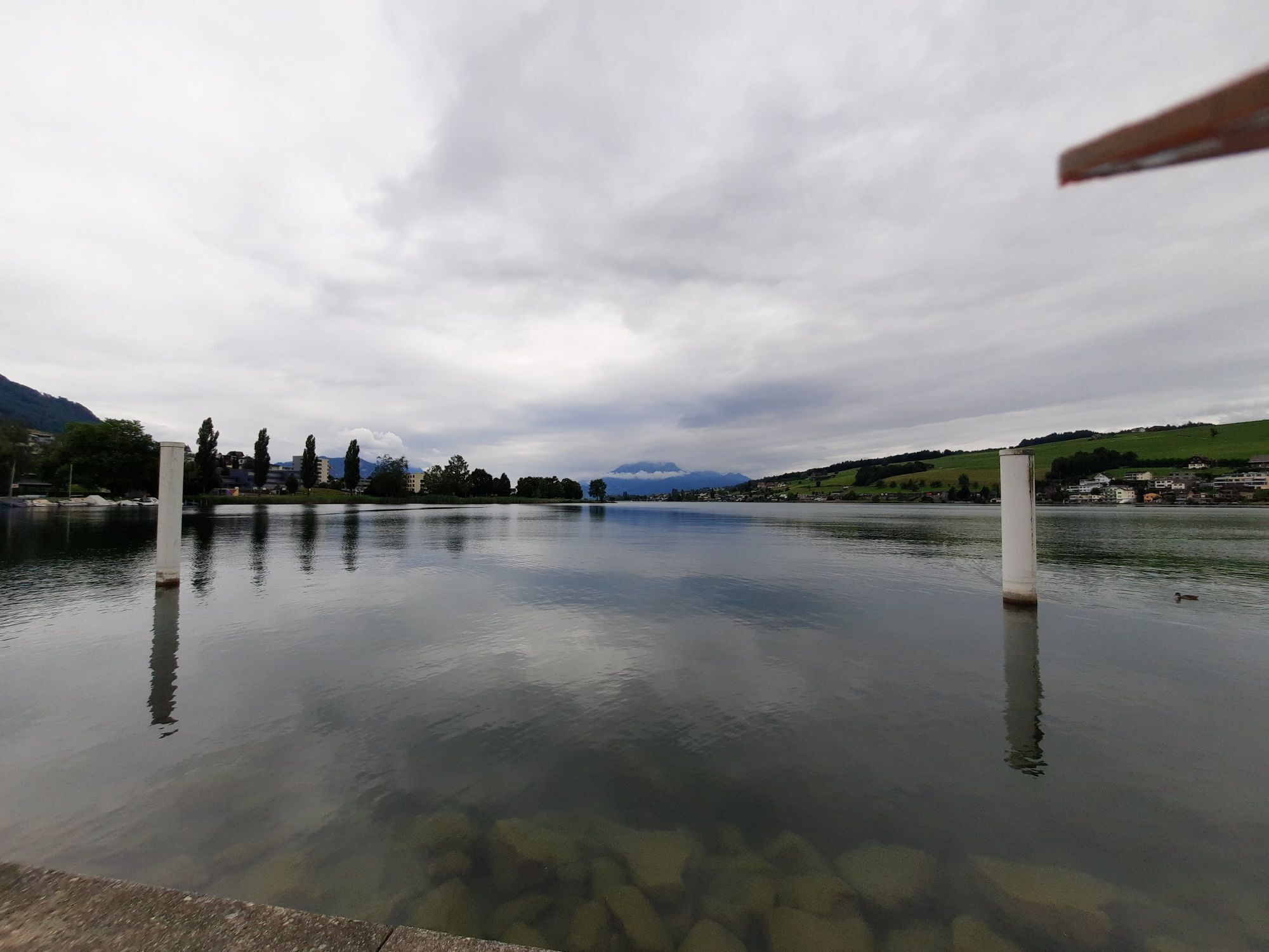
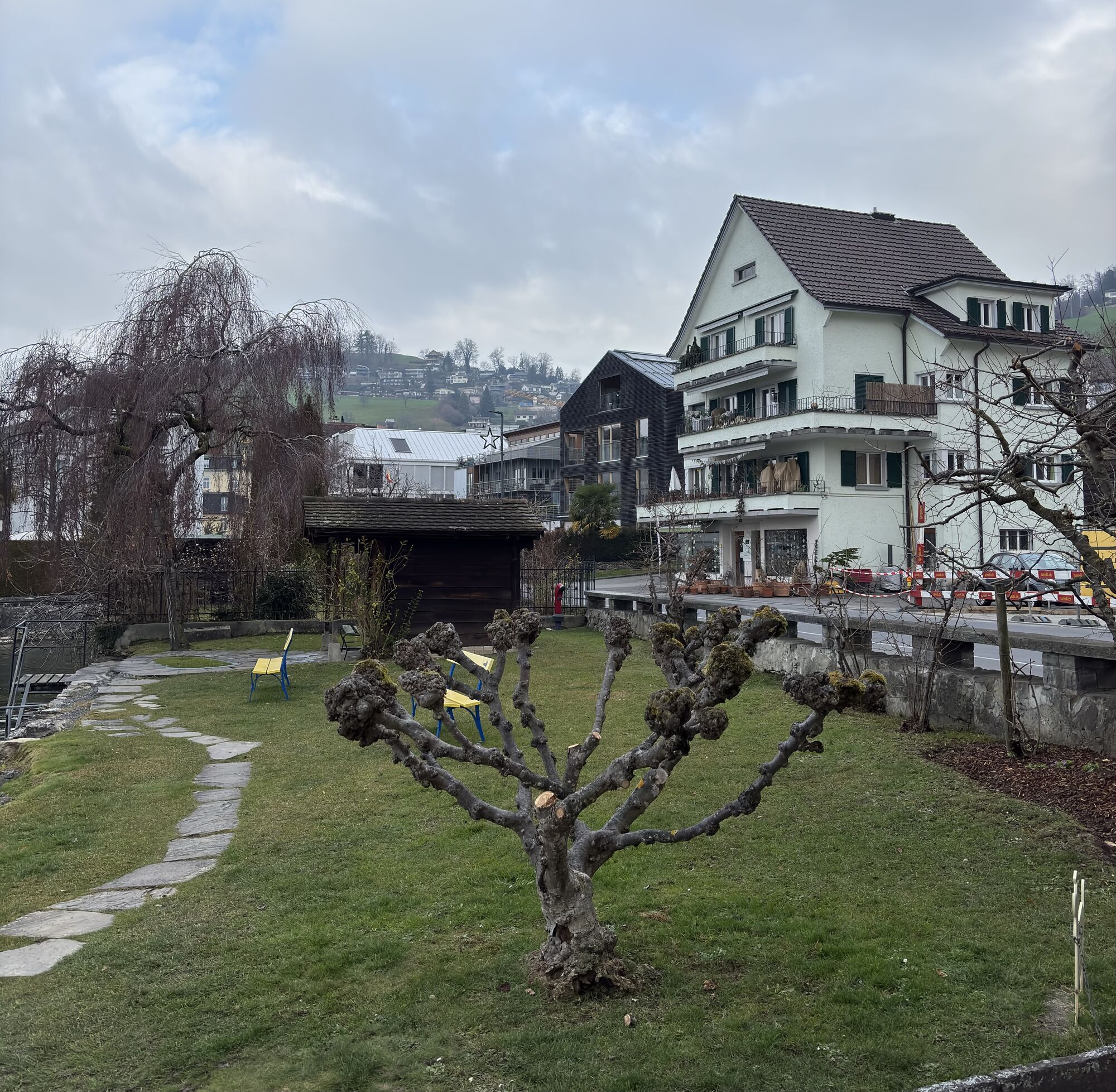
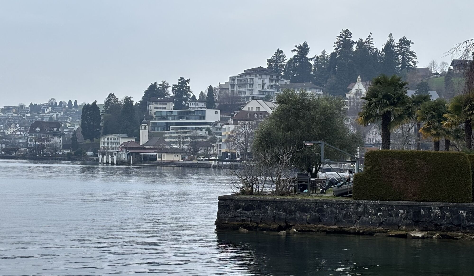
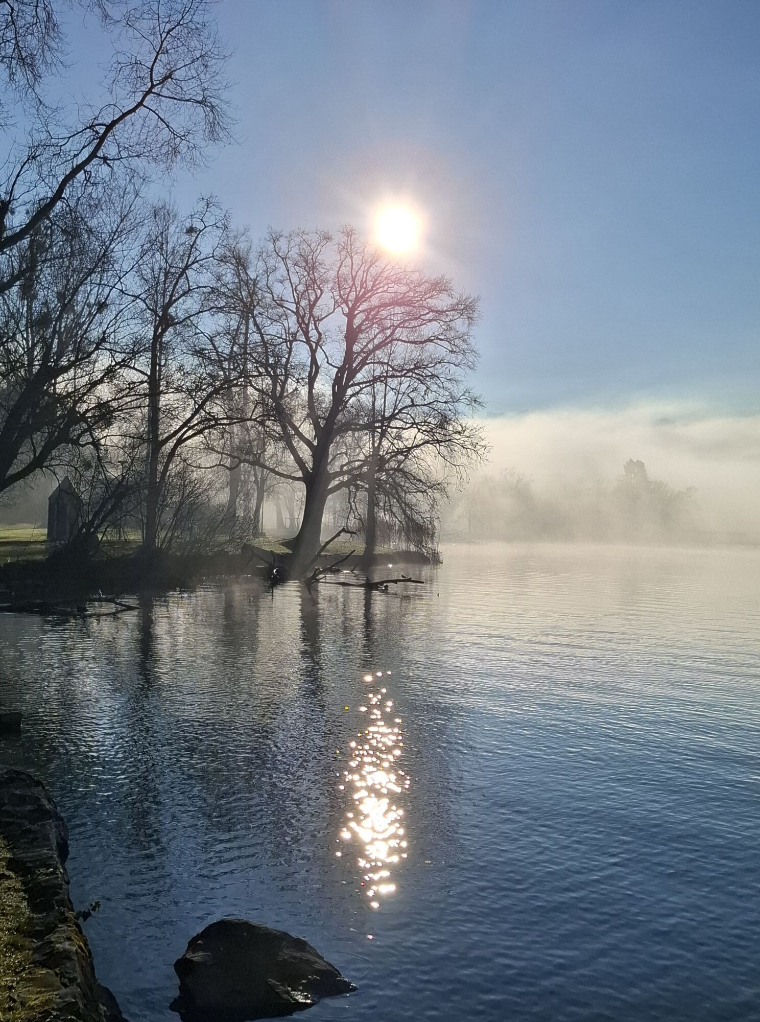
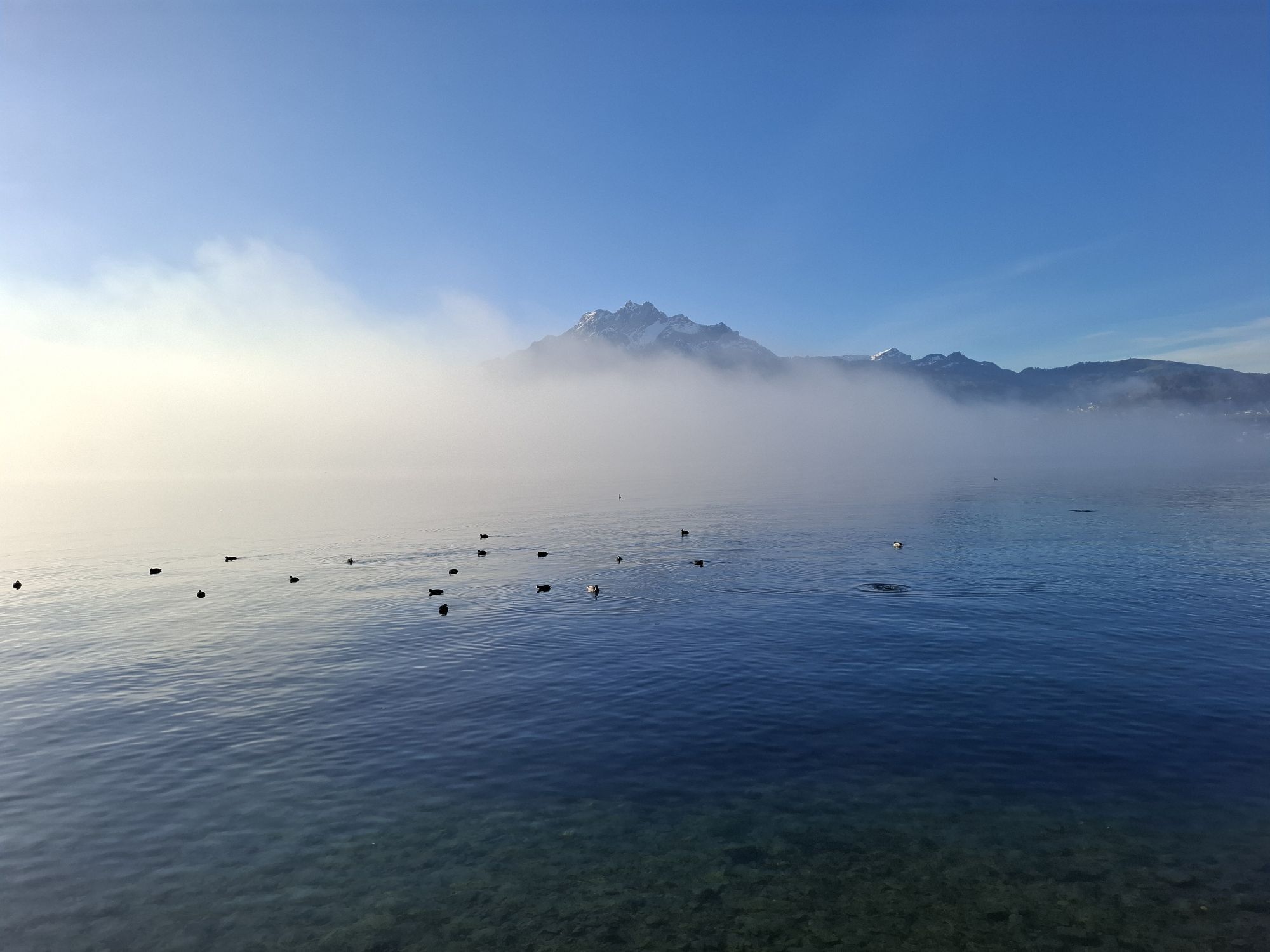
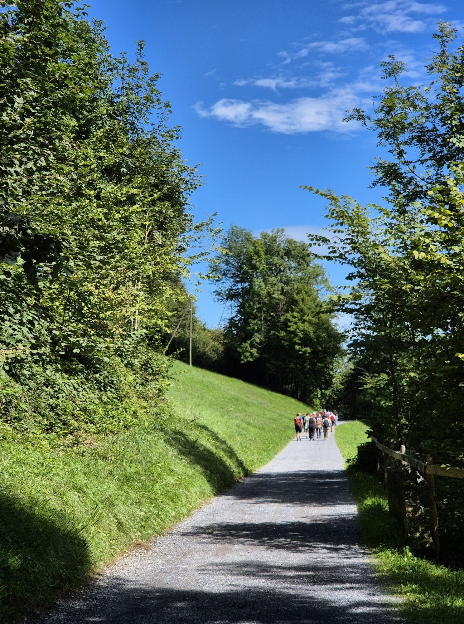
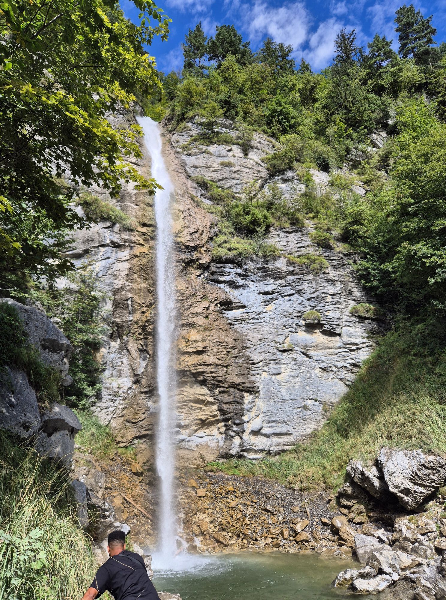
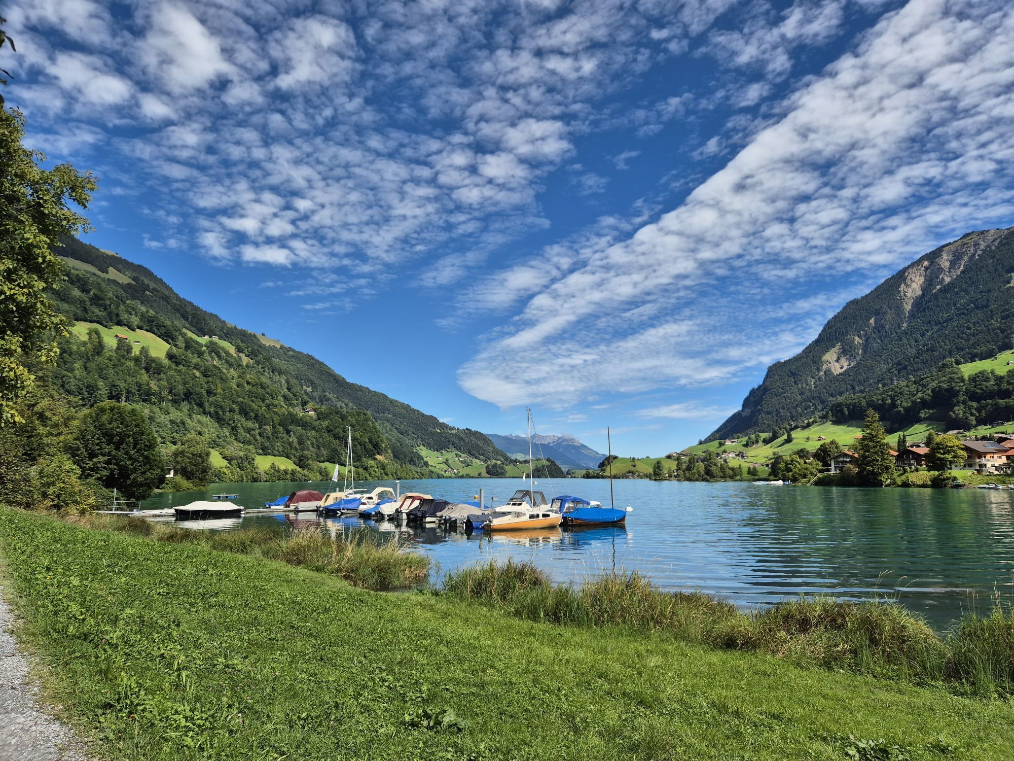
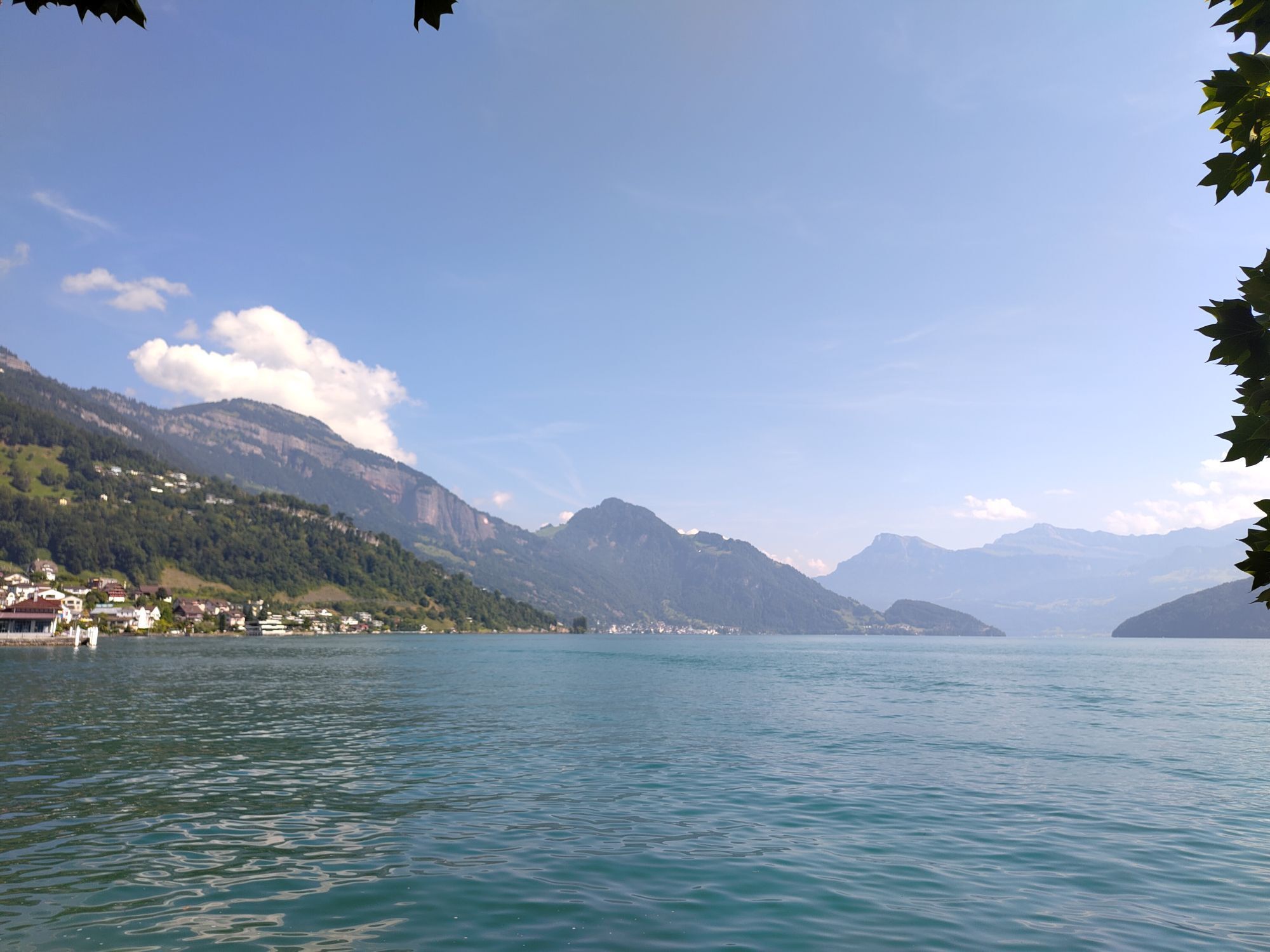
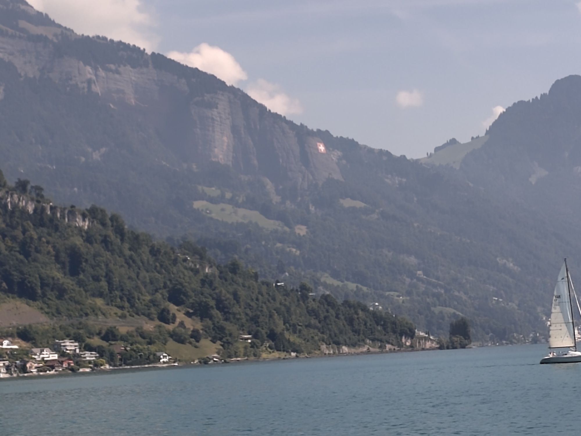
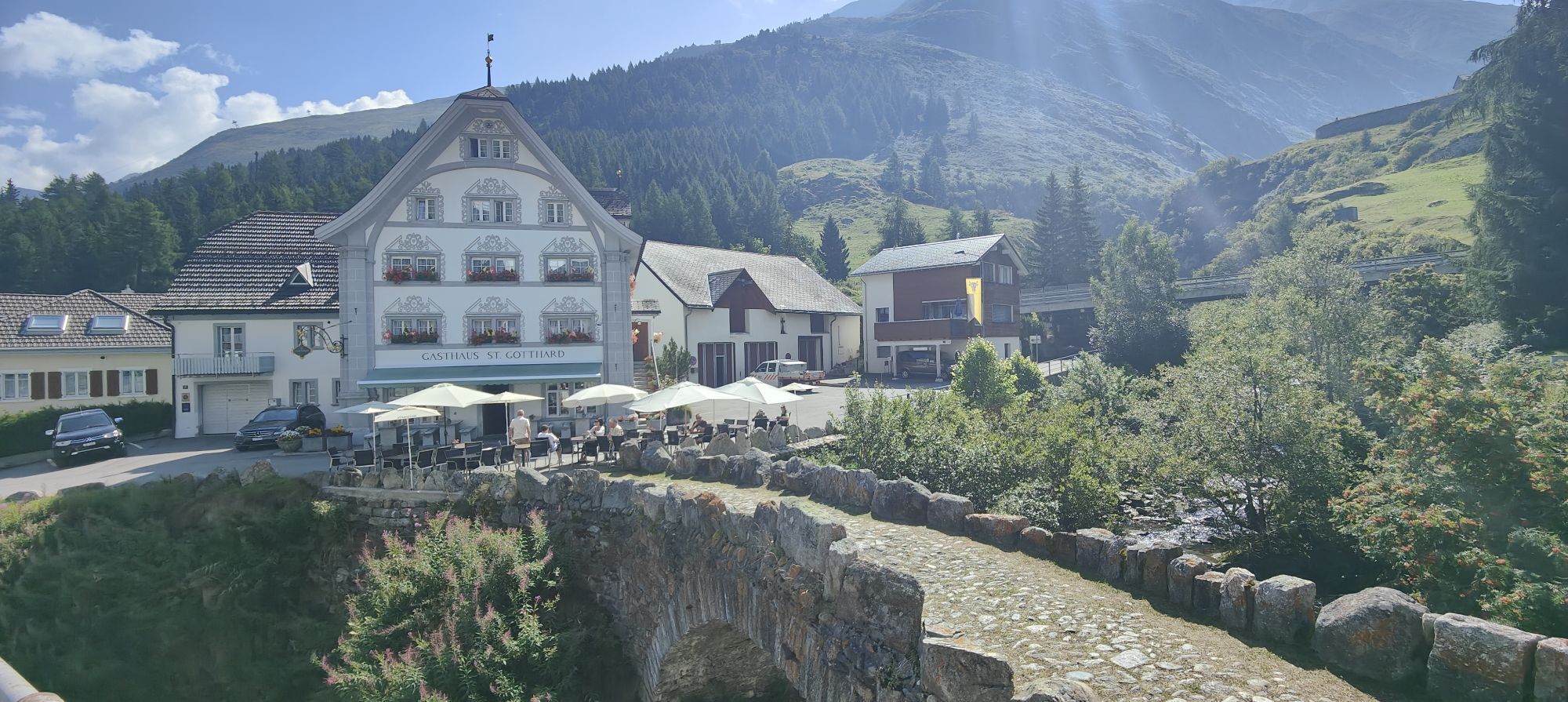
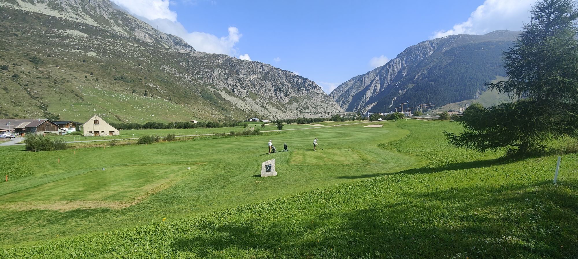
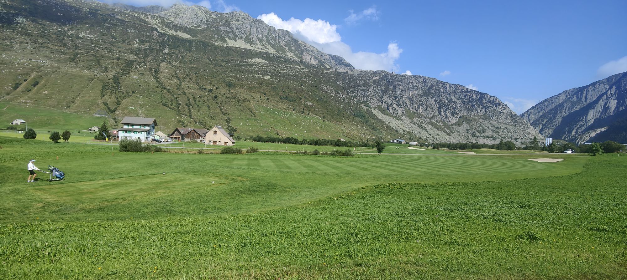
Fotografie našich uživatelů
-
 © Margot WaldmeierVytvořeno dne 04.04.2026
 -
 © Daniel WölfleVytvořeno dne 29.09.2025
 -
 © mosi mönäVytvořeno dne 28.09.2025
 -

 © luyyyVytvořeno dne 19.07.2025
 -

 © Rodrigo MartinoVytvořeno dne 06.07.2025
 -
 © Rnm 3860Vytvořeno dne 03.07.2025
 -
 © luyyyVytvořeno dne 29.06.2025
 -
 © Zengaffinen ErwinVytvořeno dne 23.05.2025
 -
 © Zengaffinen ErwinVytvořeno dne 23.05.2025
 -
 © Zengaffinen ErwinVytvořeno dne 23.05.2025
 -
 © Zengaffinen ErwinVytvořeno dne 23.05.2025
 -
 © luyyyVytvořeno dne 19.03.2025
 -
 © luyyyVytvořeno dne 12.06.2024
 -
 © Thomas SchwarzVytvořeno dne 17.07.2022
 -
 © Eliane BittelVytvořeno dne 21.09.2024
 -
 © Eliane BittelVytvořeno dne 21.09.2024
 -
 © Eliane BittelVytvořeno dne 21.09.2024
 -
 © Gisela FleischliVytvořeno dne 13.07.2024
 -
 © Gisela FleischliVytvořeno dne 13.07.2024
 -
 © Gisela FleischliVytvořeno dne 13.07.2024
 -
 © PhilippVytvořeno dne 18.09.2022
 -
 © Nadia HelfensteinVytvořeno dne 07.03.2026
 -
 © DragoliVytvořeno dne 03.03.2026
 -
 © mtmcVytvořeno dne 22.02.2026
 -
 © Ruslan BarievVytvořeno dne 17.01.2026
 -

 © Edi SchwaigerVytvořeno dne 30.12.2025
 -
 © Edi SchwaigerVytvořeno dne 30.12.2025
 -
 © Edi SchwaigerVytvořeno dne 30.12.2025
 -
 © Maurer SilviaVytvořeno dne 18.12.2025
 -
 © Maurer SilviaVytvořeno dne 18.12.2025
 -
 © Maurer SilviaVytvořeno dne 18.12.2025
 -
 © Maurer SilviaVytvořeno dne 18.12.2025
 -
 © Maurer SilviaVytvořeno dne 18.12.2025
 -
 © Maurer SilviaVytvořeno dne 18.12.2025
 -
 © Maurer SilviaVytvořeno dne 18.12.2025
 -

 © MalofeVytvořeno dne 03.10.2025
 -
 © cgassVytvořeno dne 31.08.2025
 -
 © cgassVytvořeno dne 31.08.2025
 -
 © cgassVytvořeno dne 31.08.2025
 -
 © cgassVytvořeno dne 31.08.2025
 -

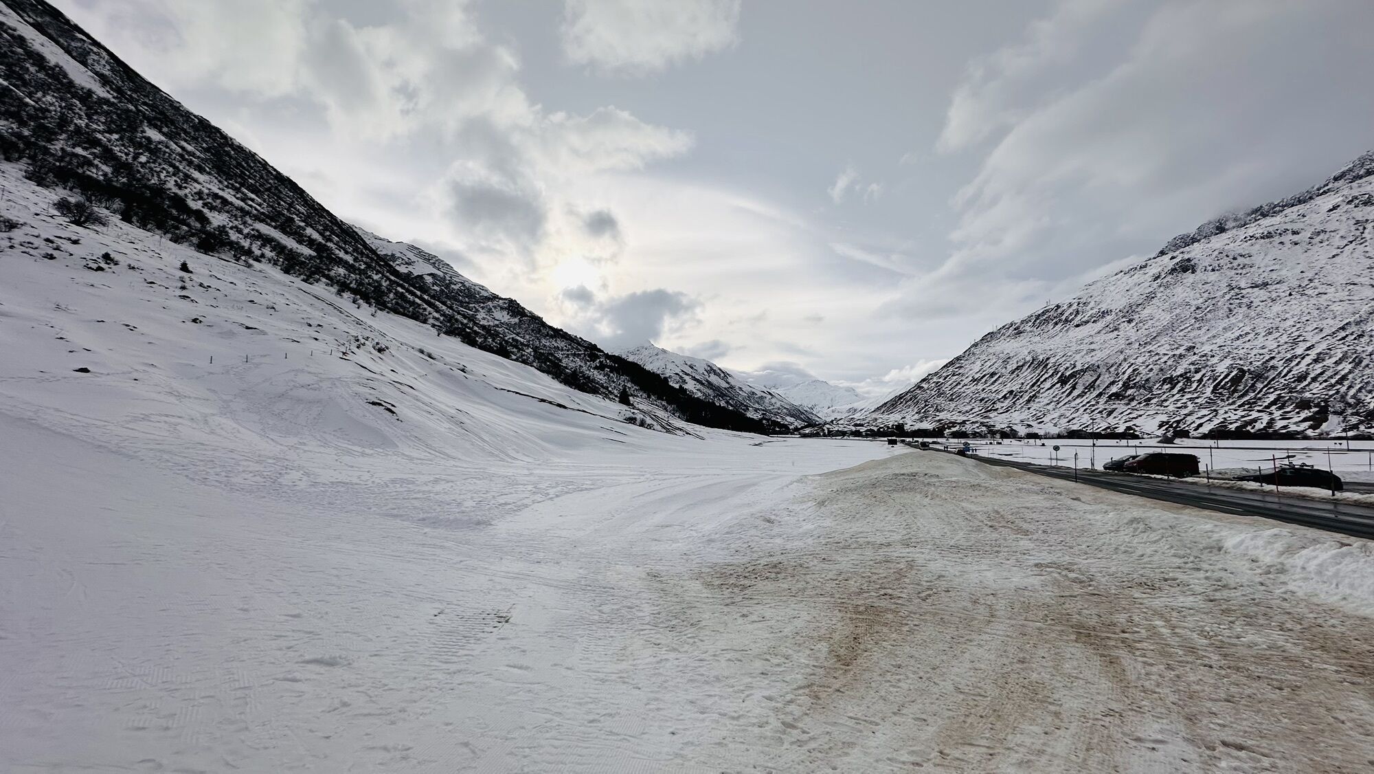
 © Nicole WöhrleVytvořeno dne 18.08.2025
 -
 © Nicole WöhrleVytvořeno dne 18.08.2025
 -
 © Grieshofer GerlindeVytvořeno dne 18.08.2025
 -

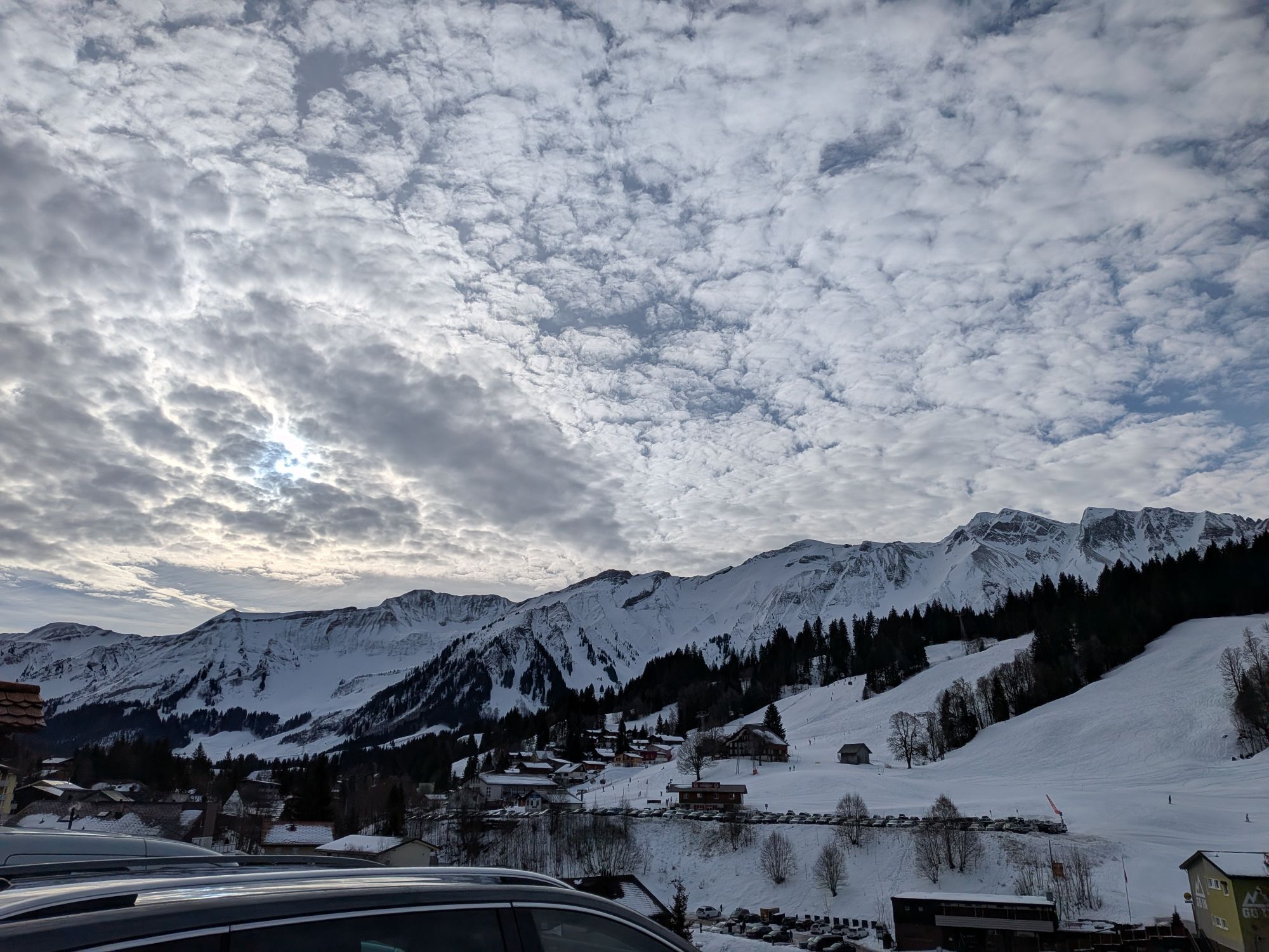
 © Dunja HahnVytvořeno dne 17.08.2025
 -
 © Dunja HahnVytvořeno dne 17.08.2025
 -
 © Dunja HahnVytvořeno dne 17.08.2025
 -
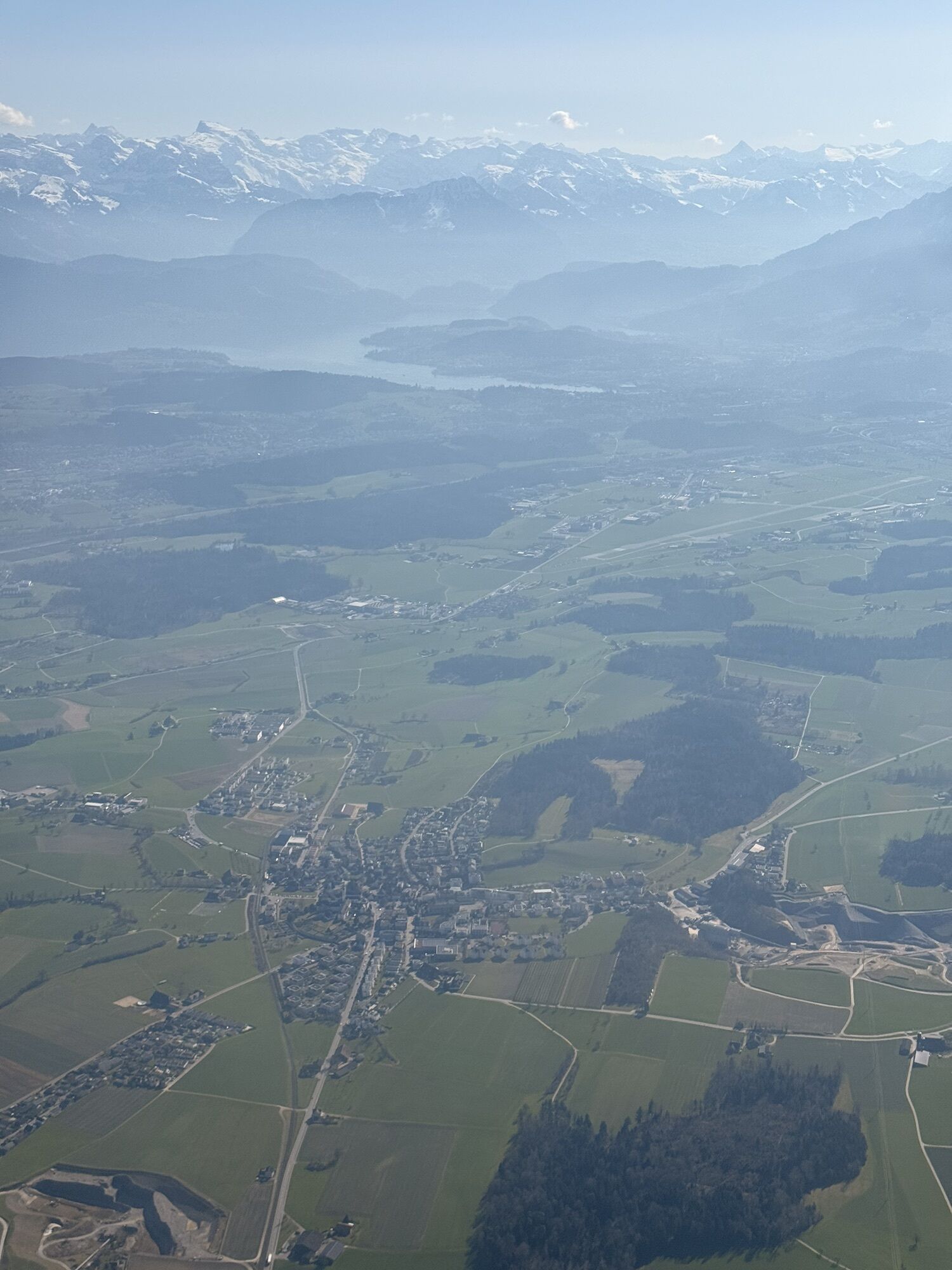
 © luyyyVytvořeno dne 22.07.2025
 -
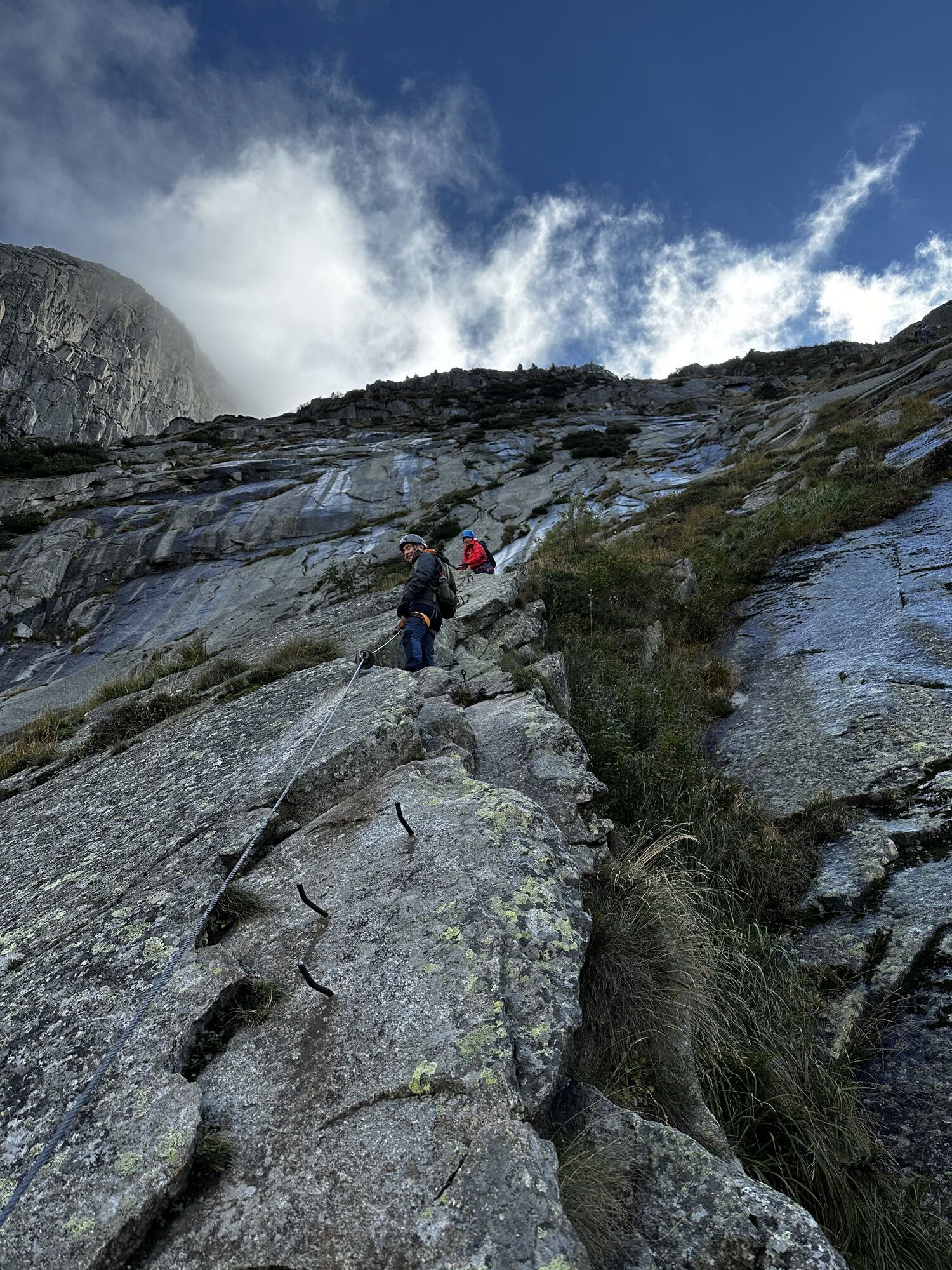
 © Reto GrinerVytvořeno dne 18.07.2025


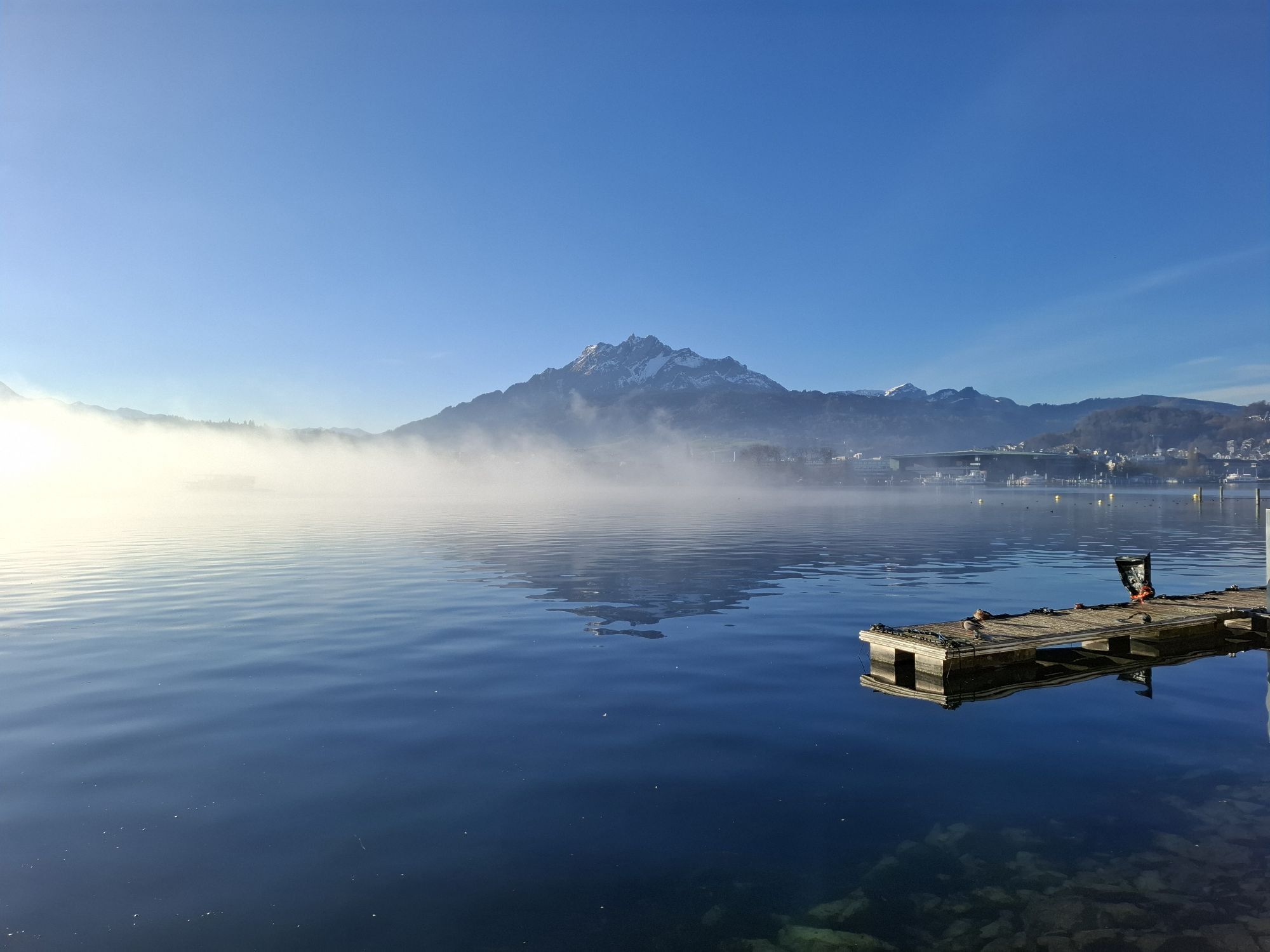
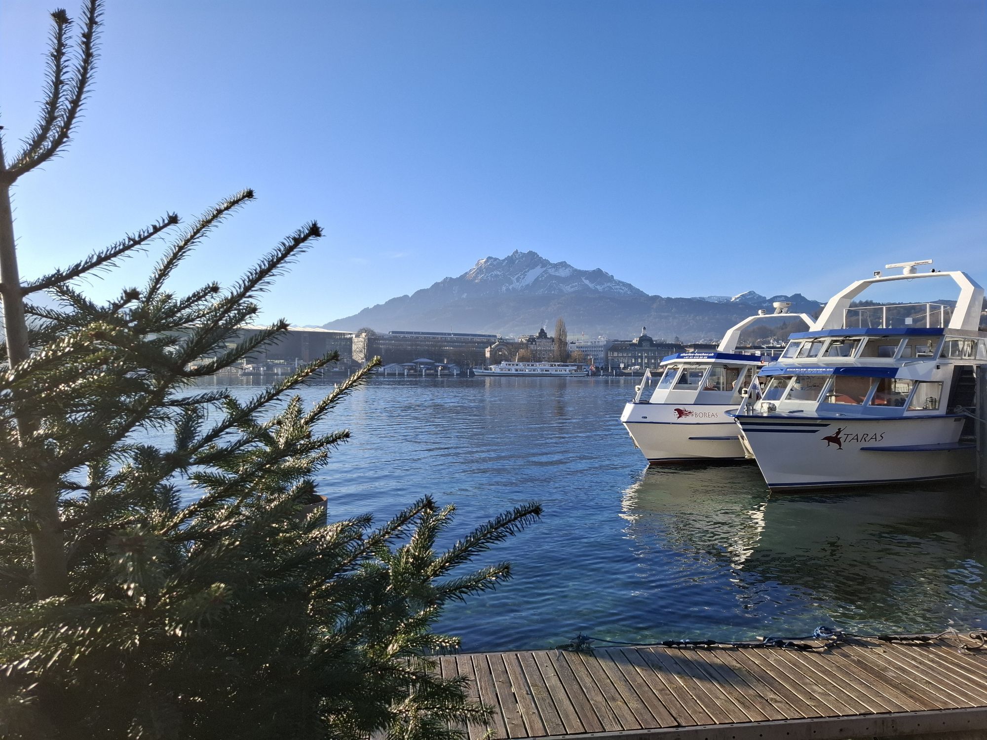


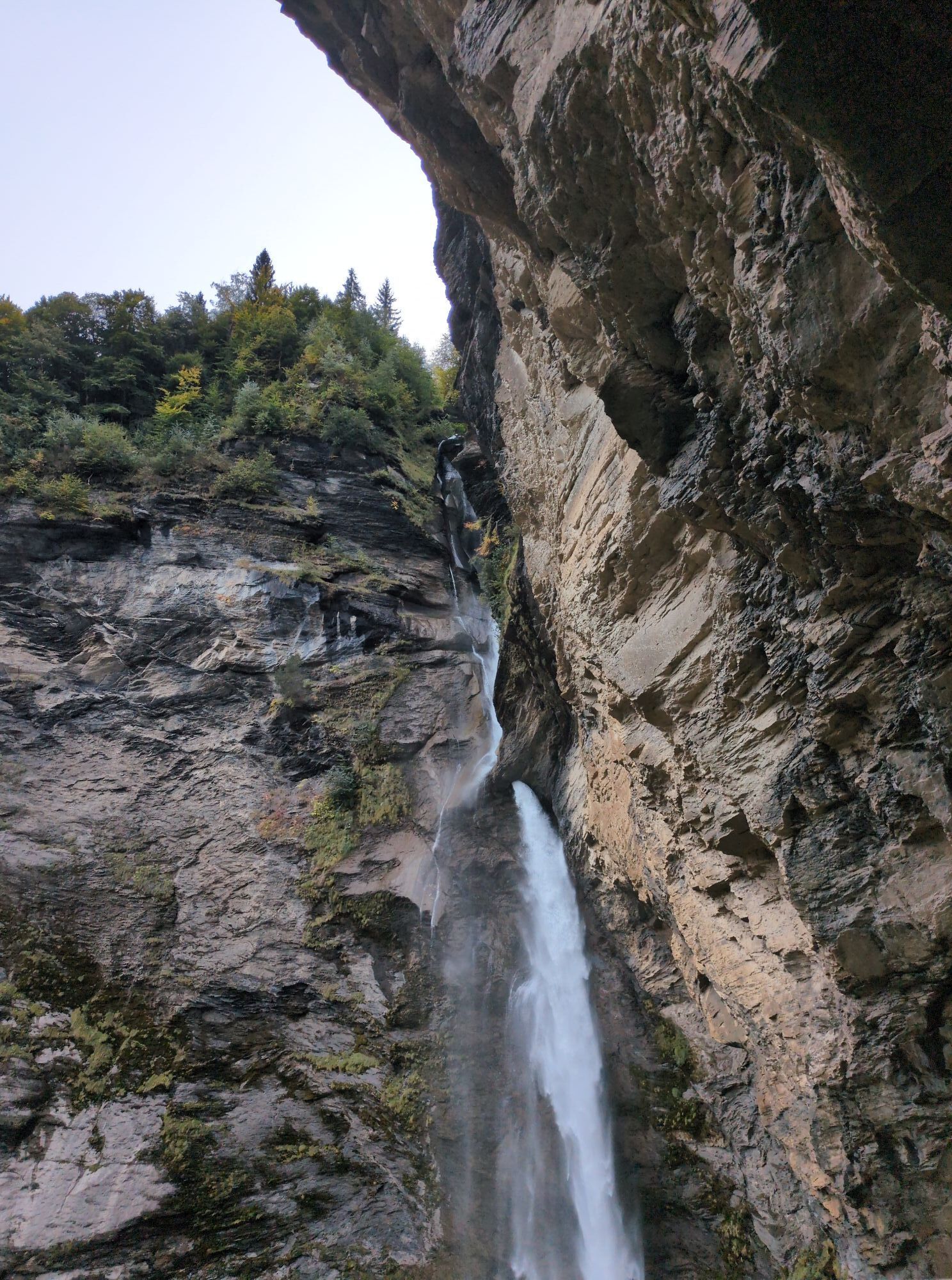
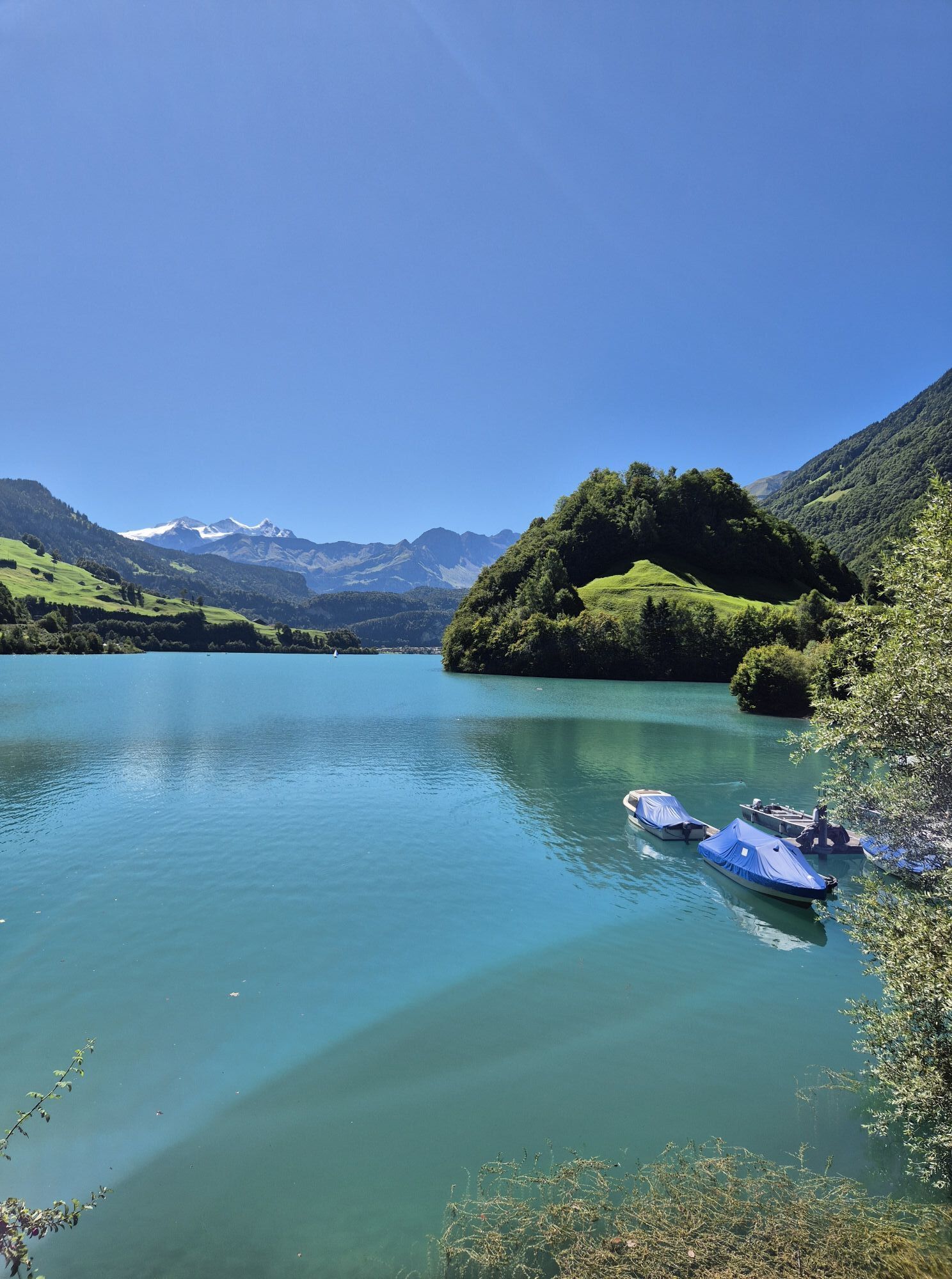

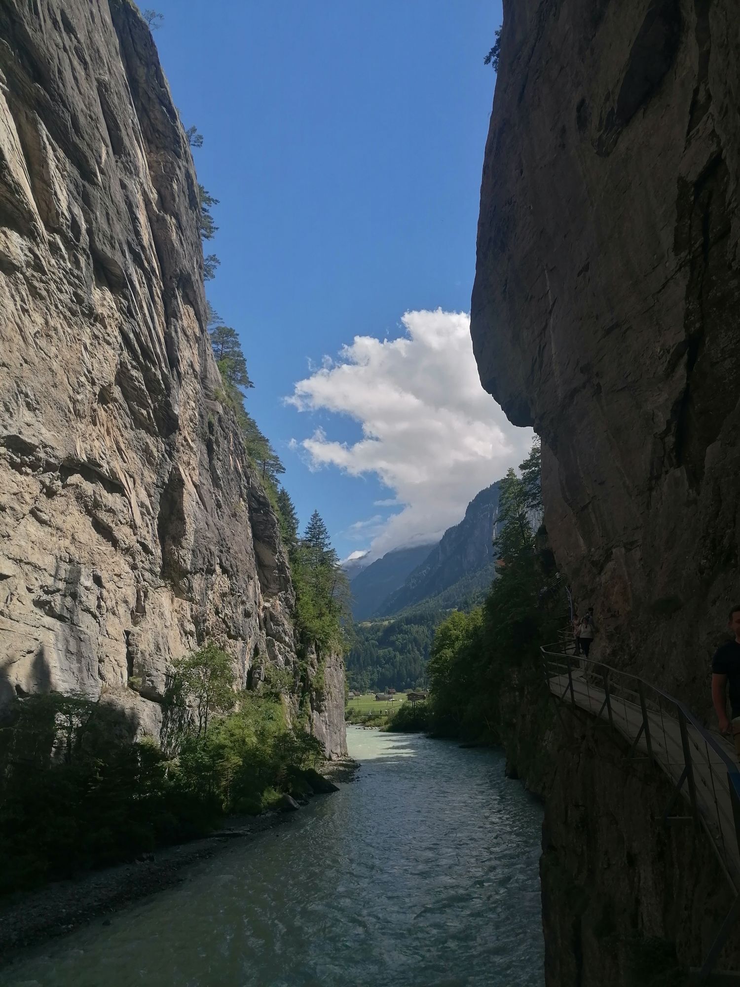

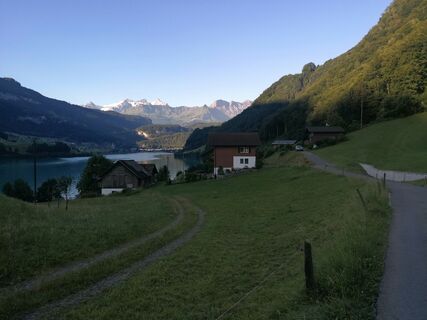
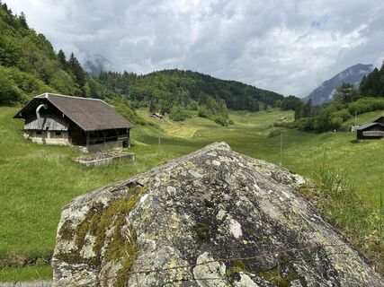
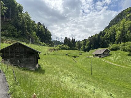
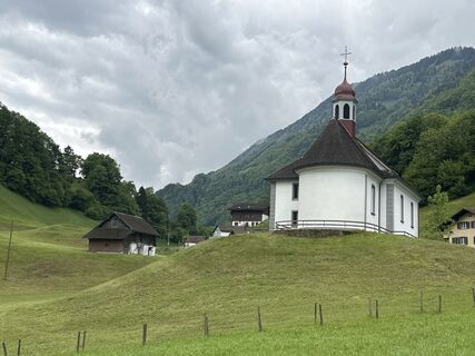
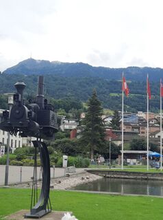
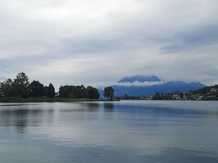
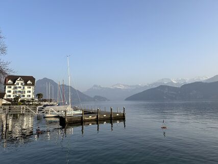
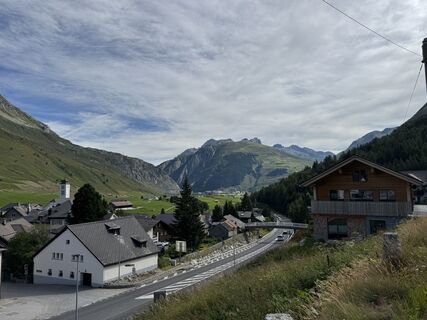
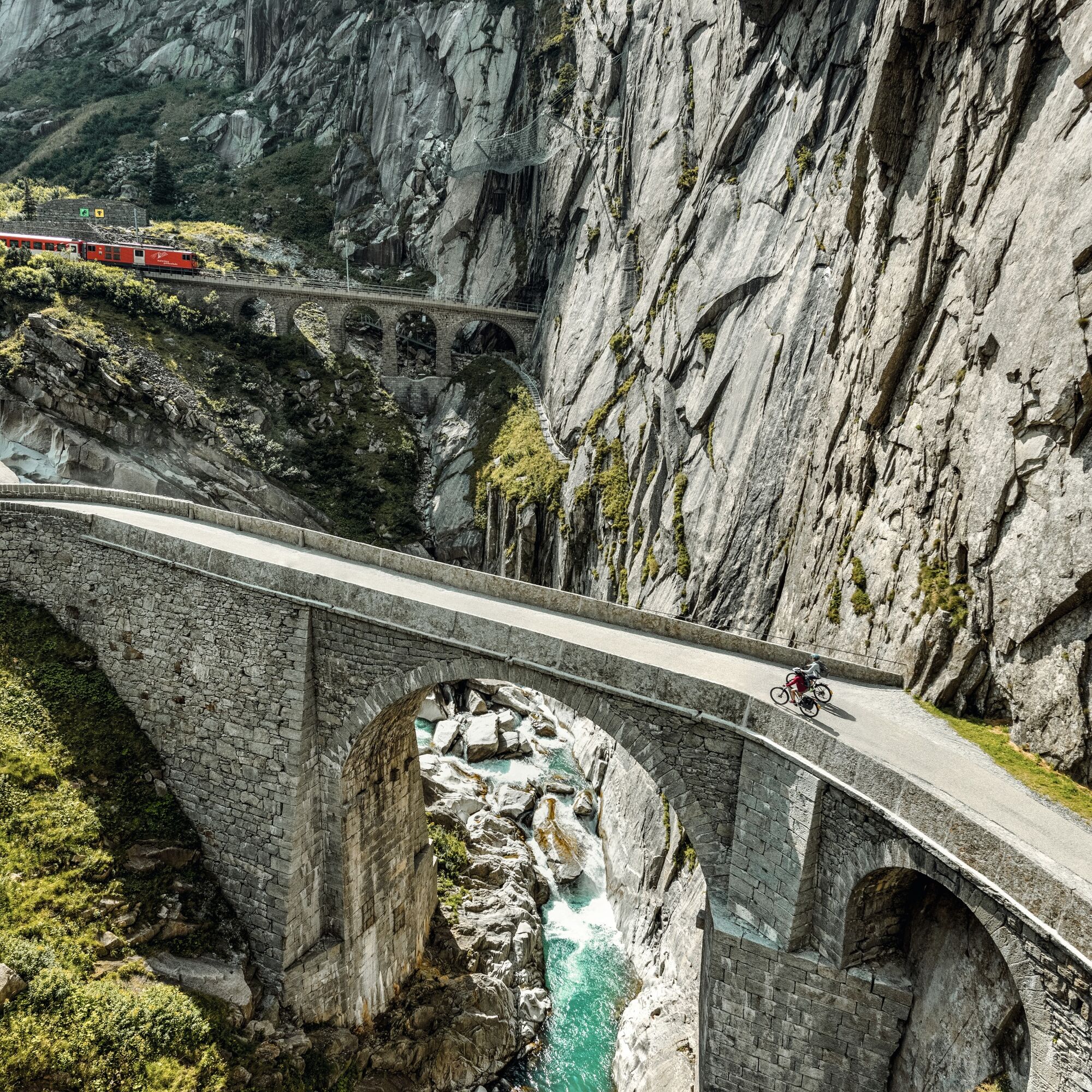
Route 1291 runs via Weggis, Brunnen, and Altdorf to Andermatt. From there, it continues over the Furka, Grimsel, and Brünig passes to Lungern, Sörenberg, and Entlebuch in the UNESCO Biosphere Entlebuch....
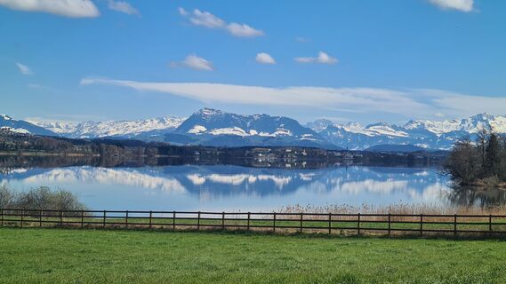
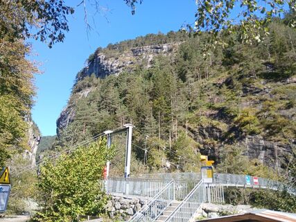
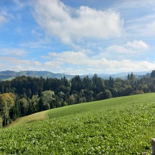
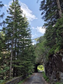
Route 1291 runs via Weggis, Brunnen, and Altdorf to Andermatt. From there, it continues over the Furka, Grimsel, and Brünig passes to Lungern, Sörenberg, and Entlebuch in the UNESCO Biosphere Entlebuch. Finally, Route 1291 goes through the Lucerne countryside regions of Willisau, Sempachersee with Sursee, Seetal, and back to the starting point in the city of Lucerne. The route of over 385 km is divided into seven stages and runs along numerous sights, castles, and historic towns. The "Route 1291" crosses a varied landscape with palm trees, lakes, mountains, gorges, and glaciers, as well as alpine passes. Numerous culinary highlights and wineries complete the new e-bike route.
Distance: 385 km | Duration: 7 days (approx. 34 hours) | Ascent 7878 m | Descent 7,921 m
On the way in 7 stages:
Stage 1: Lucerne – Altdorf (boat trip from Brunnen to Flüelen)
Stage 2: Altdorf – Andermatt
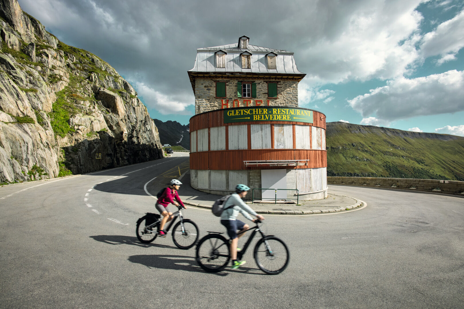
Stage 3: Andermatt – Meiringen
Stage 4: Meiringen – Sörenberg
Stage 5: Sörenberg – Entlebuch
Stage 6: Entlebuch – Sursee
Stage 7: Sursee – Lucerne

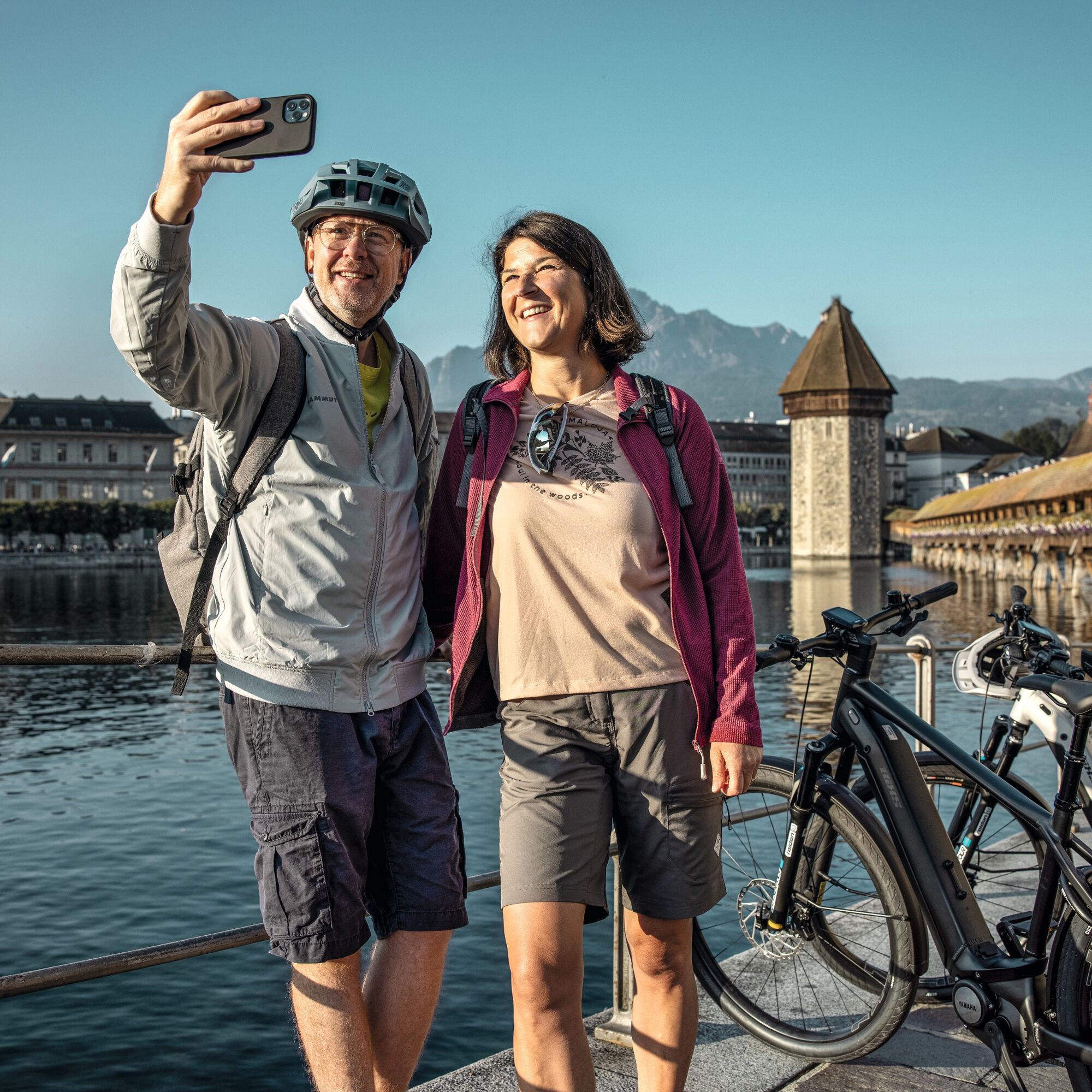
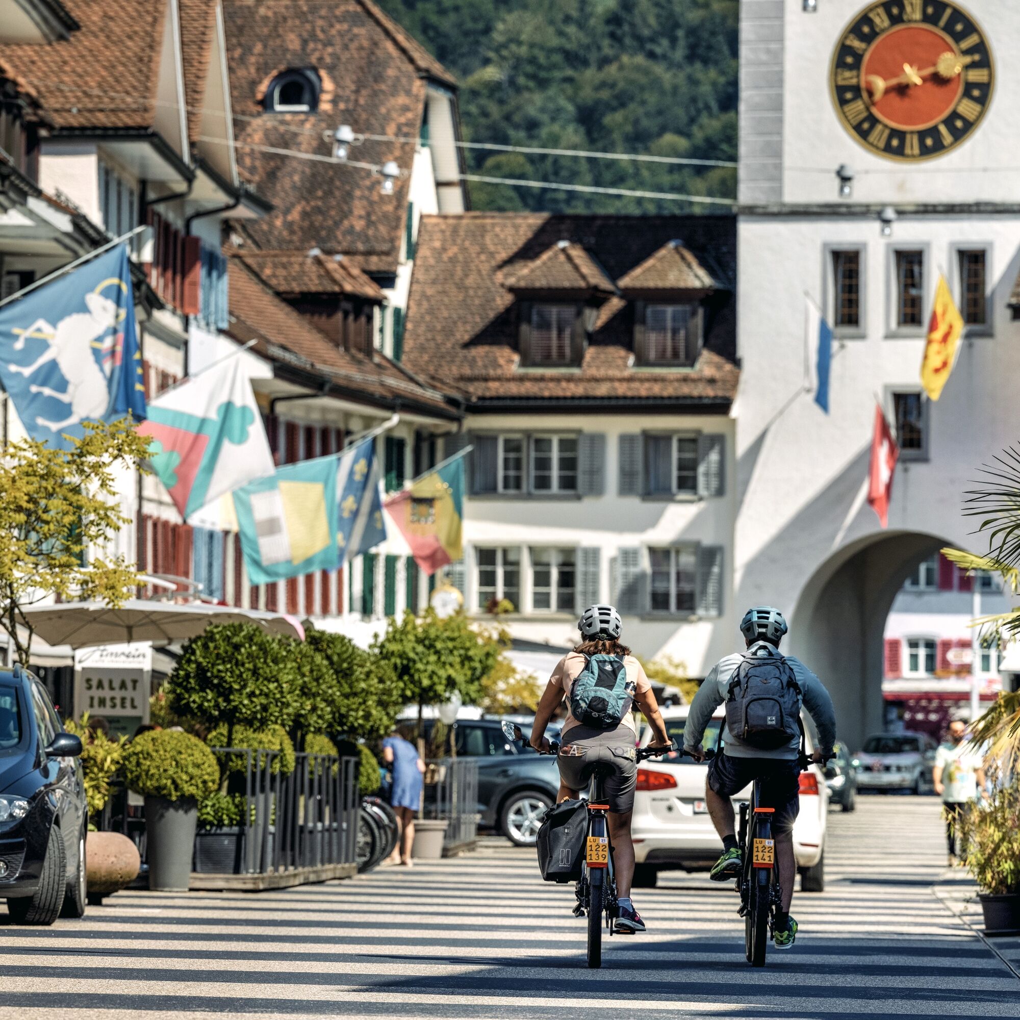
Route 1291 starts in the middle of the city of Lucerne. From there, the route leads via Weggis, Brunnen, and Altdorf to Andermatt. It then continues over the Furka, Grimsel, and Brünig passes to Lungern, Sörenberg, and Entlebuch in the UNESCO Biosphere Entlebuch. Finally, Route 1291 passes through the Lucerne countryside regions of Willisau, Sempachersee with Sursee, and Seetal back to the starting point in the city of Lucerne.
Please pay attention to the local signage on this route. In some sections, there is a partial ban on fast e-bikes (45 km/h models with a yellow number). You can find the traffic signs and their meanings here.
When passing farms, we thank you on behalf of the farmers for passing through at a reduced, appropriate speed.
Ano
If you don’t own your own e-bike, we recommend «Rent a Bike». Rent the e-bike suitable for you online and conveniently pick it up at Lucerne station.
On this route, please pay attention to the local signage. In some sections, there is a partial ban on fast e-bikes (45 km/h models with a yellow number). You can find the traffic signs and their meanings here.
When passing farms, we thank you on behalf of the farmers for passing through at a reduced, appropriate speed.
By bus or train to Lucerne station.
2
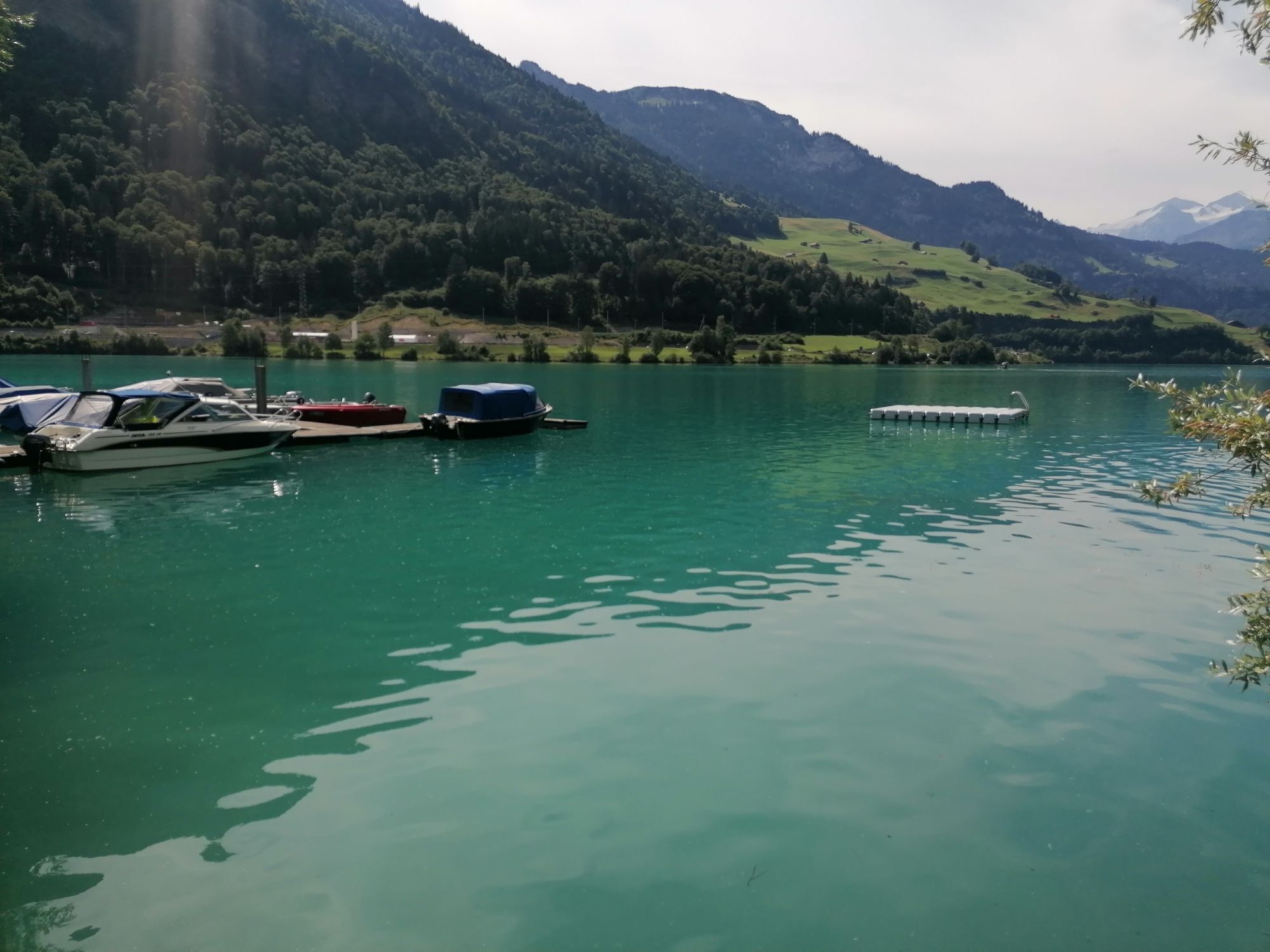
Route 1291 showcases the Lucerne-Lake Lucerne region in all its facets: over alpine passes, through hilly alpine foothills, and past steel-blue lakes. Highlights include rides over the Furka and Grimsel passes, which are only open from about June to October due to their altitude.
Historical Highlights
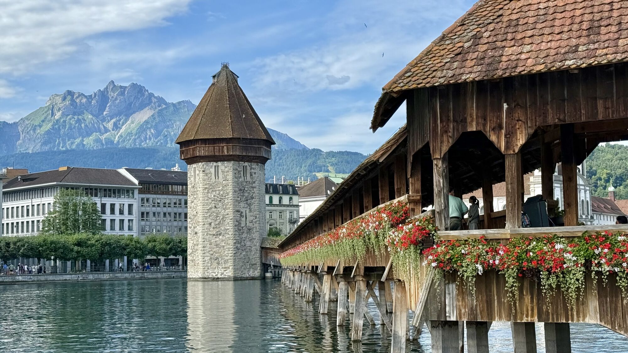
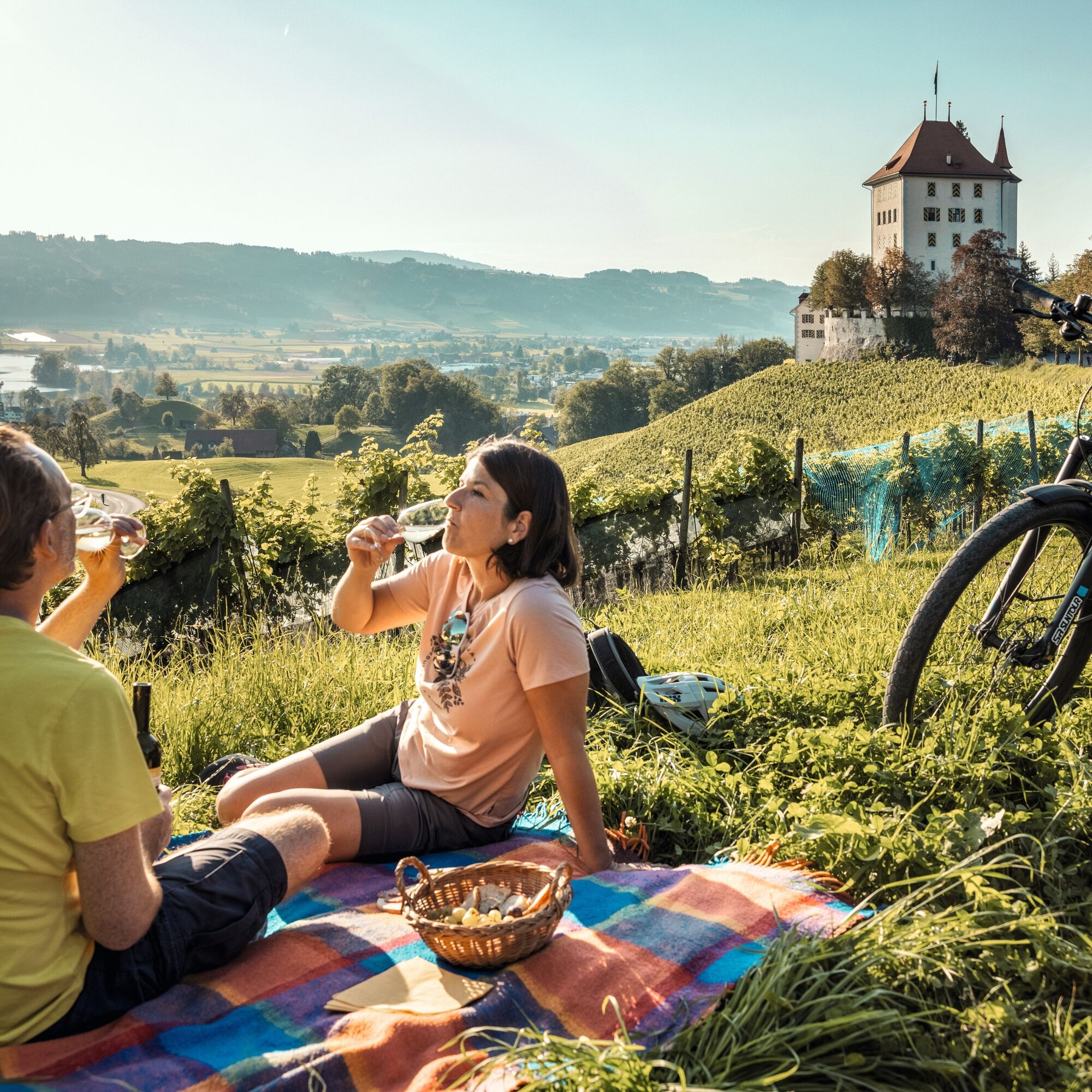
Lucerne: Chapel Bridge with Water Tower Schwyz: Federal Charter Museum & Hohle Gasse Altdorf: Tell Monument Andermatt: Devil’s Bridge Furka Pass: Hotel Restaurant Belvedere and Rhône Glacier Beromünster: State Transmitter and Canonry Seetal: Heidegg CastleCulinary Highlights
Lucerne: Max Chocolatier Brunnen: Lake Restaurant Bellevue Brunnen Uri: Gotthard Rest Stop Andermatt: Sust Lodge Andermatt Marchbach: Marchbach Mountain Cheese Dairy Entlebuch: Schaafbuur | Emscha Willisau: Café AmreinAccommodation Tips along Route 1291:
Lucerne: Hotel Drei Könige Altdorf: Hotel Höfli Andermatt: Alpenhotel Schlüssel Meiringen: Parkhotel Du Sauvage Sörenberg: Hotel Rischli, Hotel Sörenberg Entlebuch: Hotel Drei Könige, BnB Schafbuur Sursee: Hotel SurseeHunger & Thirst
Eichhof Brewery Sbrinz CheeseRoute 1291 passes numerous wineries and other culinary highlights that invite you to enjoy a pleasurable stop.
Don't worry about your luggage on Route 1291. The packages from Eurotrek ensure daily luggage transfer.
Webové kamery z prohlídky
-
Käserstatt - Meiringen Hasliberg
-
Beckenried - Bootshafen Rütenen
-
Panoramarestaurant Alpen Tower
-
Innertkirchen
-
Skirennzentrum / Tschuggi
-
Bidmi - Mägisalp
-
Bumbach - Schangnau
-
Brienzer Rothorn - Gipfelrestaurant
-
Stoos - Fronalpstock
-
Gurtnellen-Wiler
-
Bäzberg Andermatt
-
Bahnstation Rigi Kulm
-
Seebodenalp Holderen
-
Seebodenalp Holderen
-
Küssnacht am Rigi
-
Hungerberg - Restaurant Gommerblick
-
Talstation Marbach
-
Stoos - Fronalpstock
-
Stoos - Fronalpstock
-
Stoos - Fronalpstock
-
Stoos - Fronalpstock
-
Stoos - Fronalpstock
-
Stoos - Fronalpstock
-
Talstation Mörlialp - Giswil
-
Mittelstation Mörlialp - Giswil
-
Mägisalp
-
Sörenberg Rossweid
-
Rothorn, Eisee
-
Berghaus Oberaar
-
Gelmersee
-
Obere Eggberge
-
Haldi ob Schattdorf
-
Haldi ob Schattdorf
-
Rigi - Staffel
-
Stoos Dorf
-
Lungern - Schönbüel
-
Stoos Dorf
-
Stoos Dorf
-
Stoos Dorf
-
Stoos Dorf
Oblíbené prohlídky v okolí
-
4.7
Stanserhorn
světloTuristika 17.9 km -
4.7
Brunnipfad
světloTuristika 5.64 km -
5.0
Walenpfad
středníTuristika 12.2 km -
Geo-Wanderweg Stanserhorn – Wirzweli Wandertipp
středníTuristika 11.4 km -
5.0
Klettersteige Brunnistöckli und Rigidalstock
heavyVia ferrata 6 km -
Pilatus
středníTuristika 20.3 km -
4.5
Eigenthalerhof - Chräigütsch - Holderchäppeli - Eigenthalerhof
světloZimní turistika 6.38 km -
5.0
Eigenthal --Pilatus
středníTuristika 13.6 km -
4.3
Rund um den Melchsee
Turistika 3.21 km -
5.0
Wanderung Frutt-Bonistock-Tannalp-Frutt
středníTuristika 11.4 km
Pěší turistika a stopování


Nenechte si ujít nabídky a inspiraci pro vaši příští dovolenou
Vaše e-mailová adresa byl přidán do poštovního seznamu.