






Höhronen Tour
Fotografie našich uživatelů
-
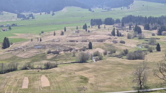
 © Thomi WVytvořeno dne 22.04.2026
 -
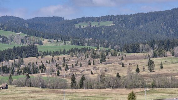 © Thomi WVytvořeno dne 22.04.2026
 -
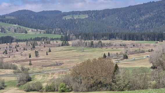 © Thomi WVytvořeno dne 22.04.2026
 -
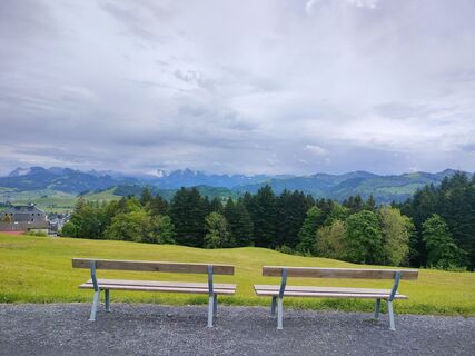
 © Niklas JohansenVytvořeno dne 25.05.2025
 -
 © Niklas JohansenVytvořeno dne 25.05.2025
 -
 © Niklas JohansenVytvořeno dne 25.05.2025
 -
 © Jens BrunnerVytvořeno dne 01.10.2023
 -
 © Jens BrunnerVytvořeno dne 01.10.2023
 -
 © Jens BrunnerVytvořeno dne 01.10.2023
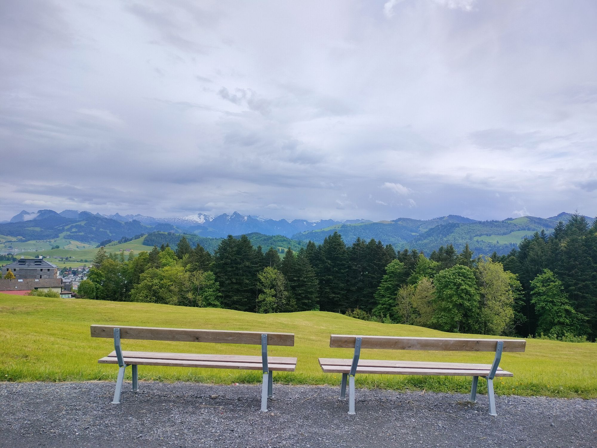
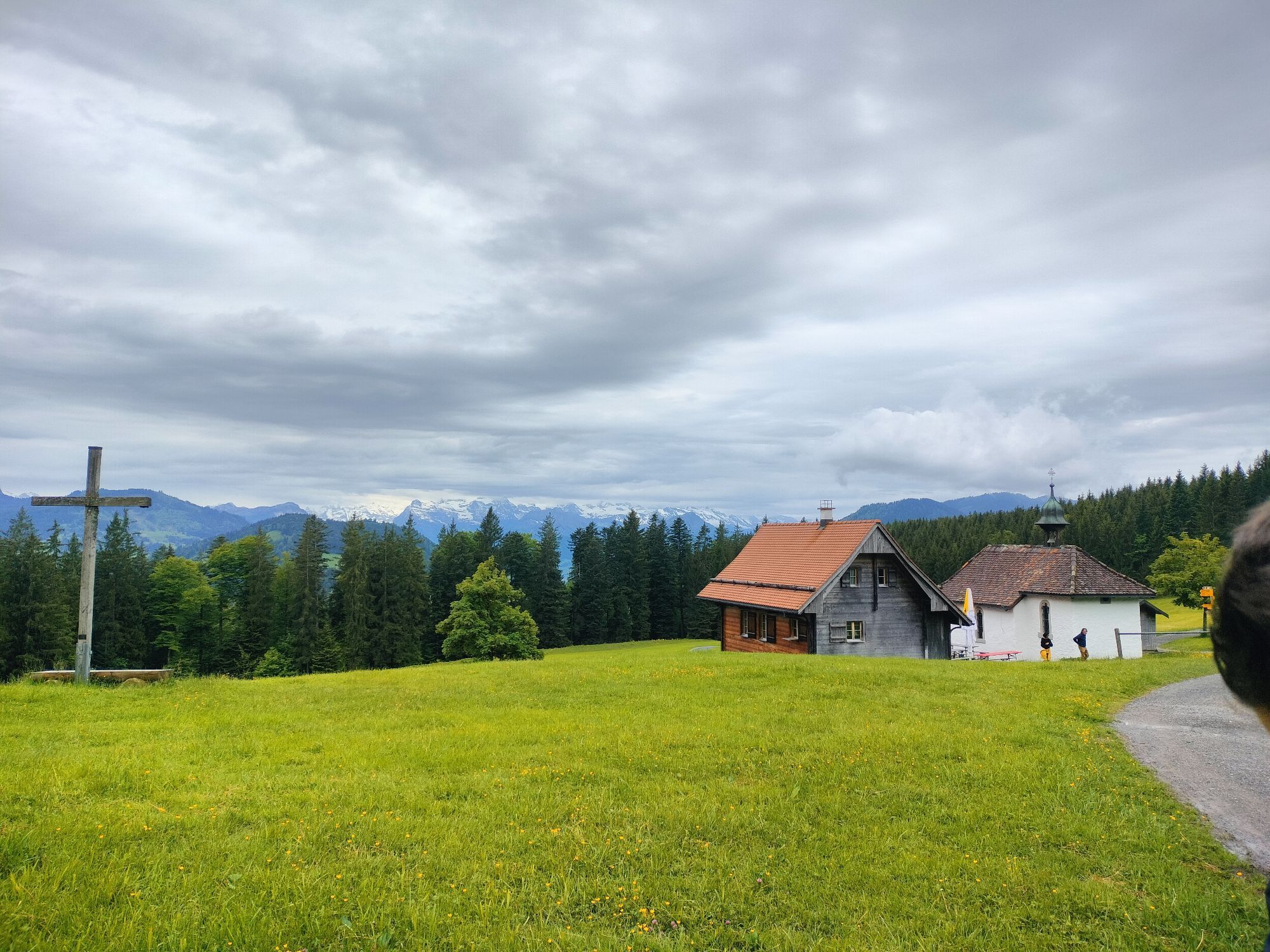
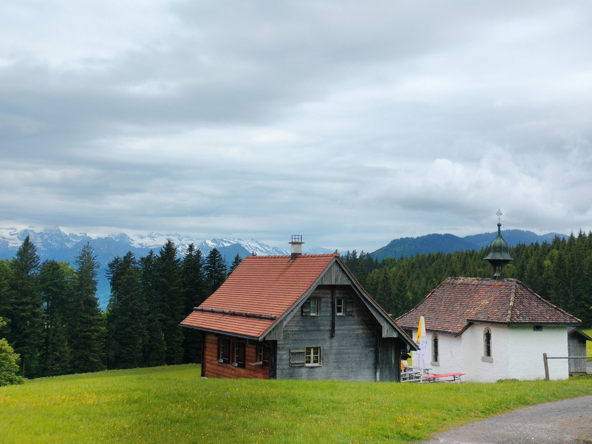
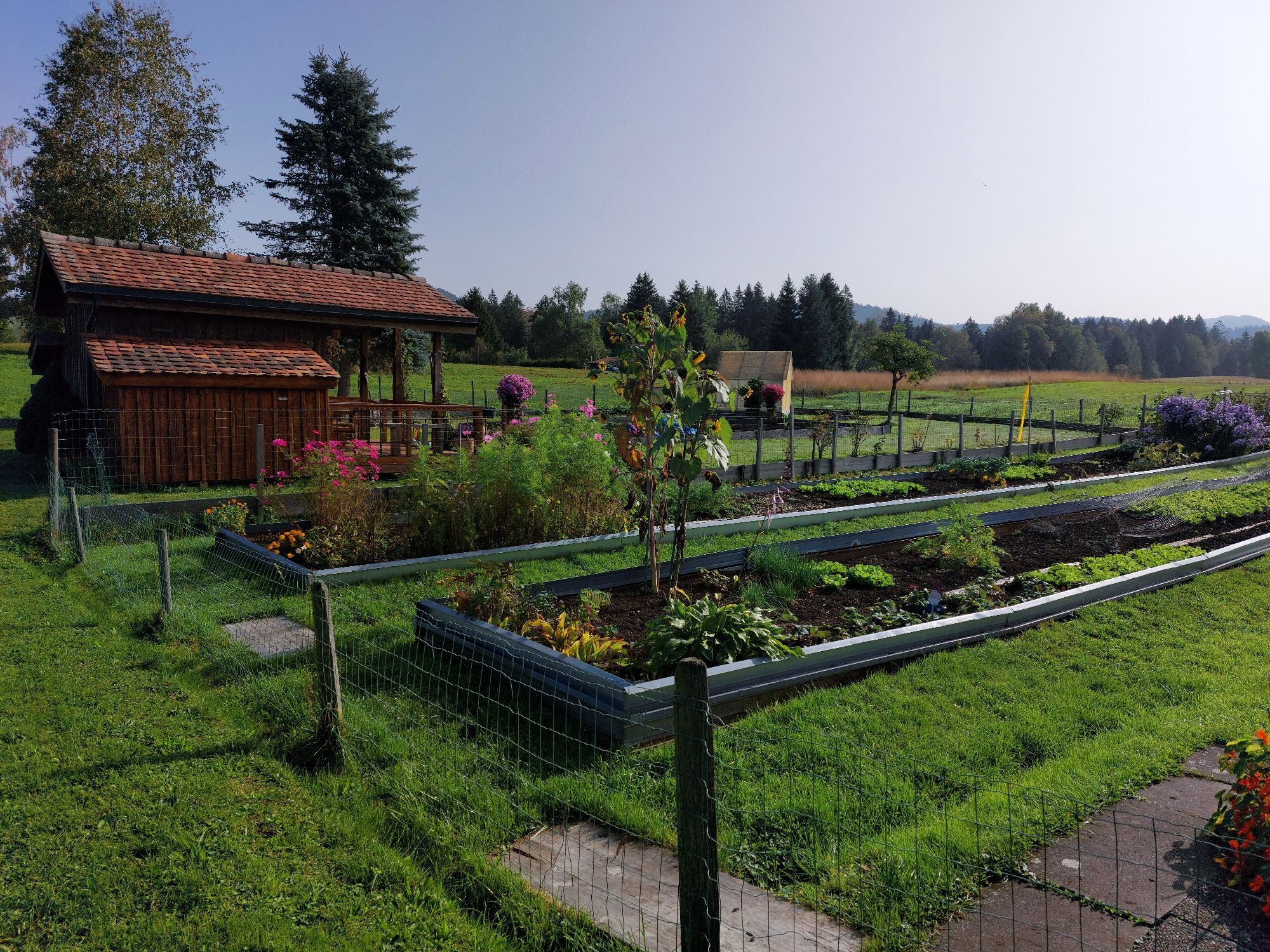
Starting in Einsiedeln, a place of pilgrimage with its impressive Abbey, the trail soon leads to Lake Sihl, the largest reservoir in Switzerland. At Egg (SZ), it crosses the river Sihl over the Devil's...
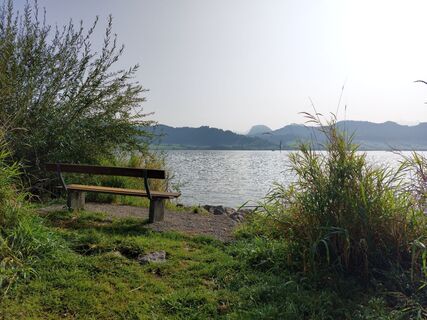
Starting in Einsiedeln, a place of pilgrimage with its impressive Abbey, the trail soon leads to Lake Sihl, the largest reservoir in Switzerland. At Egg (SZ), it crosses the river Sihl over the Devil's Bridge, part of the Way of St. James. Fascinating fact: the physician Paracelsus was born nearby in 1493. This is followed by a short, steep ascent that branches off before the top of the Etzel Pass. With Lake Zurich in view, bikers ride downhill to Schindellegi, back across the Sihl and uphill along the Höhronen.
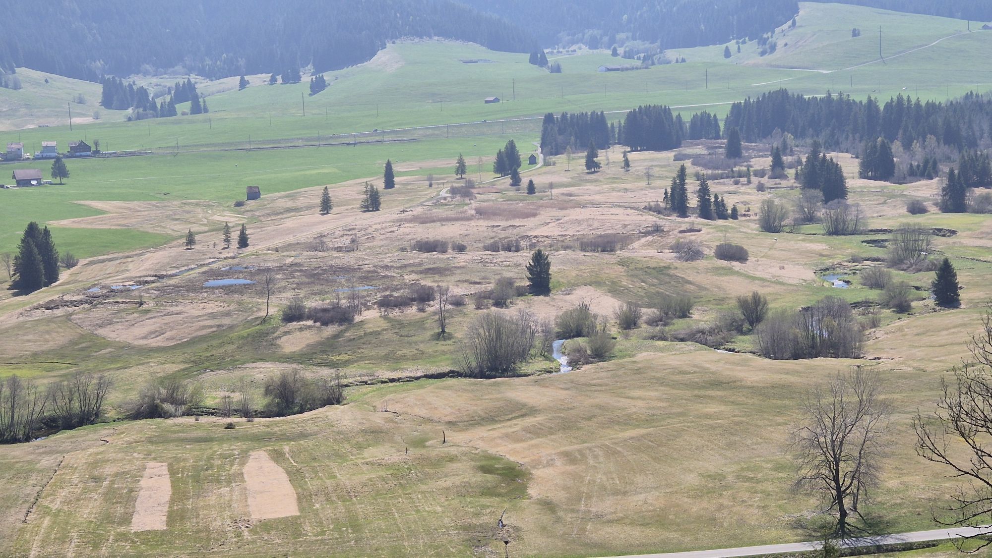
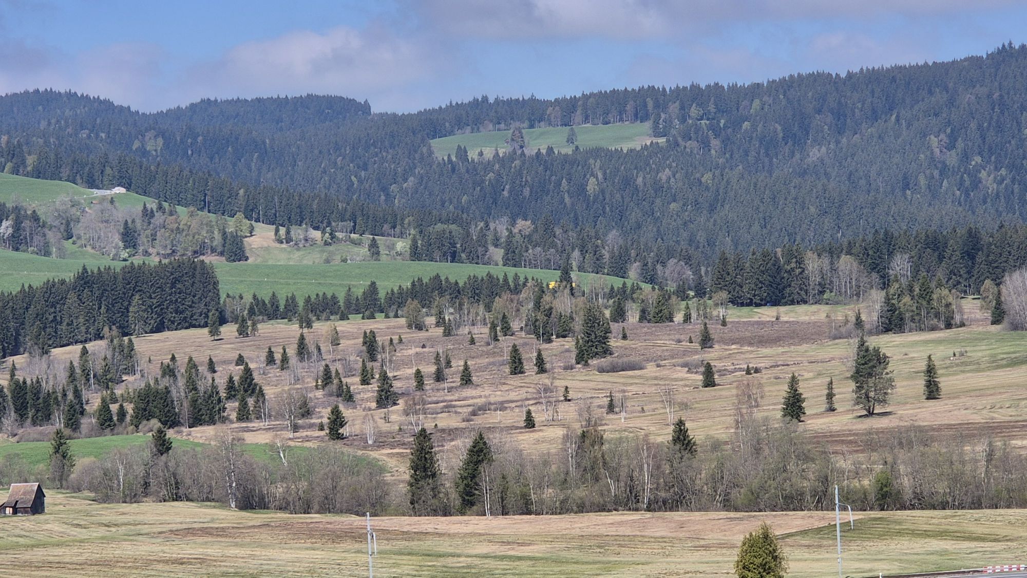
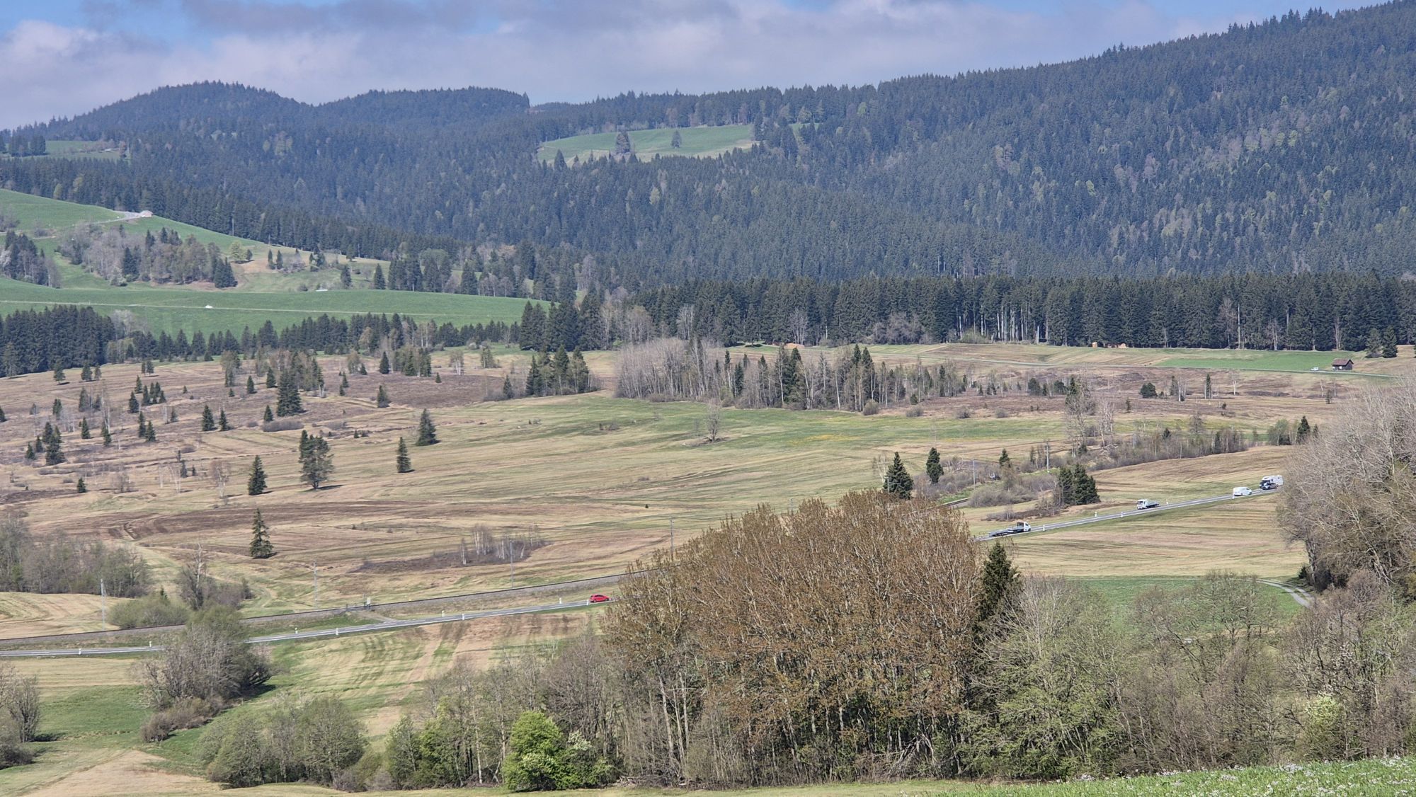
Their eye is soon drawn by the colourful sight of the Schwantenau moorland reserve. Later, they will enjoy the distant view across the Rothenthurm moorland. Covering more than 100 hectares, this is Switzerland's largest upland moor and heathland, traversed by the small and meandering river Biber.
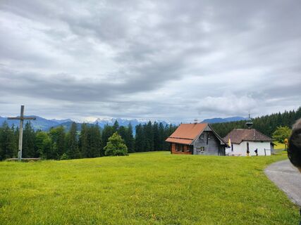
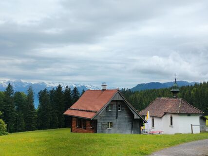
On the ridge of the Höhronen hills stands the border stone, marking the boundary between the cantons of Zurich, Schwyz and Zug. The route runs through the middle of the forest, but not all the way up: instead, it leads towards the Raten Pass and St. Jost Chapel with a magnificent view of the Ägeri Valley. Crossing the Rothenthurm moorland, which we admired from above earlier on, it takes us to Altmatt. Now comes the final obstacle on the tour: the Chatzenstrick. At the top, bikers are rewarded with a view across the monastery village of Einsiedeln with Lake Sihl and the Ybrig mountains in the background.

Einsiedeln - Horgenberg - Waldweg - Tüfelsbrugg - Enzenau - Büel - Schindellegi - Höhronen - Raten - Bibersteg - Dritte Altmatt - Katzenstrick - Einsiedeln
Folgen Sie der SchweizMobil Mountainbike Routenbeschilderung «Höhronen Bike 969»
Einsiedeln is 40 km from Zurich and 55 km from Lucerne. The drive from the Richterswil or Schindellegi exits of the A3 Zurich – Chur motorway to Einsiedeln takes 15 minutes.
The Swiss Federal Railways and Südostbahn railway company (SOB) run a half-hourly service to Einsiedeln from Zurich.
An hourly service to Einsiedeln is provided by the Voralpen Express railway company, which runs between Romanshorn in eastern Switzerland and the Lucerne conurbation.
Parking is available at Brüel AG and the MM Center Einsiedeln, as well as many other places. All are chargeable.
Einsiedeln MonasteryRestaurant near St. JostRaten restaurant
Získejte přehled
Vždy živě na místě s více než 9 500 webkamerami. bergfex Jako uživatel Pro si nyní můžete zobrazit odpovídající webové kamery pro mnoho prohlídek v aplikaci prohlídky z. Můžete si tak přímo prohlédnout aktuální podmínky.
Oblíbené prohlídky v okolí
-
4.3
Mythenweg - Bergwanderung auf den Grossen Mythen
heavyTuristika 3.40 km -
4.2
Kleiner Mythen
středníTuristika 6.31 km -
4.5
Brunni-Feuerstellen-Rundwanderung
světloTuristika 11.5 km -
4.7
Mythen via Ibergeregg
středníTuristika 9.73 km -
5.0
Wanderung entlang der Mythen, Alp "Zwüschet-Mythen"
středníTuristika 10.5 km -
5.0
Chli Aubrig
světloTuristika 8.51 km -
4.8
Rundweg Hirzelhöhi - Horgener Bergweiher
světloTuristika 8.82 km -
4.7
Holzegg - Grosser Mythen - Restaurant Grosser Mythen - Alpwirtschaft Brunnialp
středníTuristika 5.66 km -
2.5
Rundwanderung Furggelenstock
středníTuristika 10 km -
5.0
Zugerberg - via Blasenberg - Rundwanderung
světloTuristika 9.44 km
Pěší turistika a stopování


Nenechte si ujít nabídky a inspiraci pro vaši příští dovolenou
Vaše e-mailová adresa byl přidán do poštovního seznamu.





