






Reuss canoe
Úroveň obtížnosti: 3
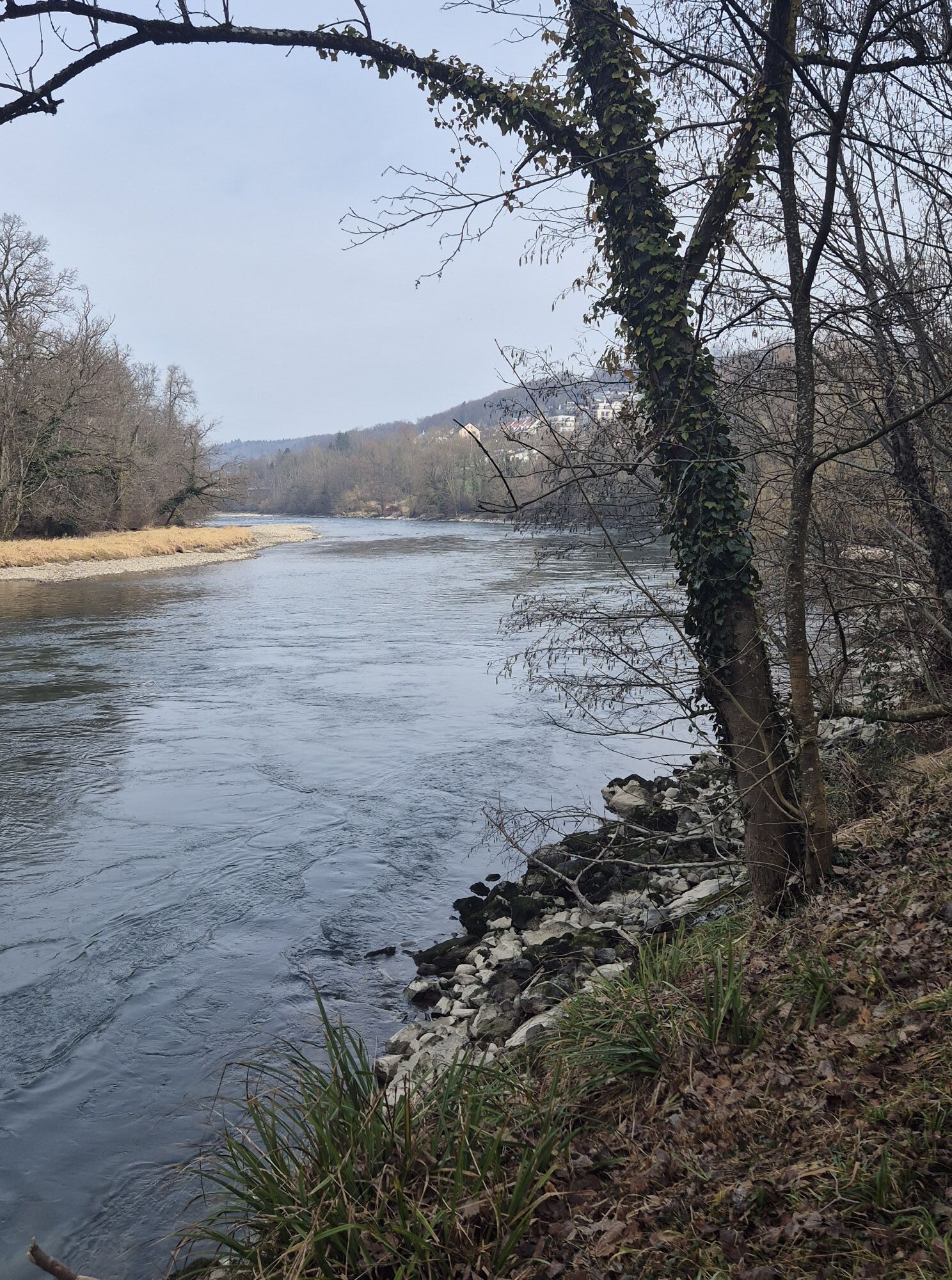
From the tram stop «Bremgarten Obertor» it is about a 7-minute walk to the put-in location at the Bruggmühle power plant. However, inflating boats and changing clothes on the power plant’s island are not...
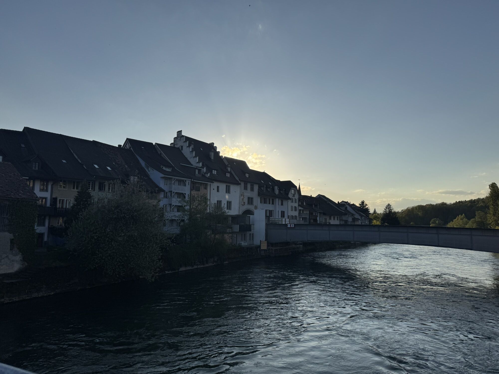
From the tram stop «Bremgarten Obertor» it is about a 7-minute walk to the put-in location at the Bruggmühle power plant. However, inflating boats and changing clothes on the power plant’s island are not permitted. A restroom is available at the casino parking lot.
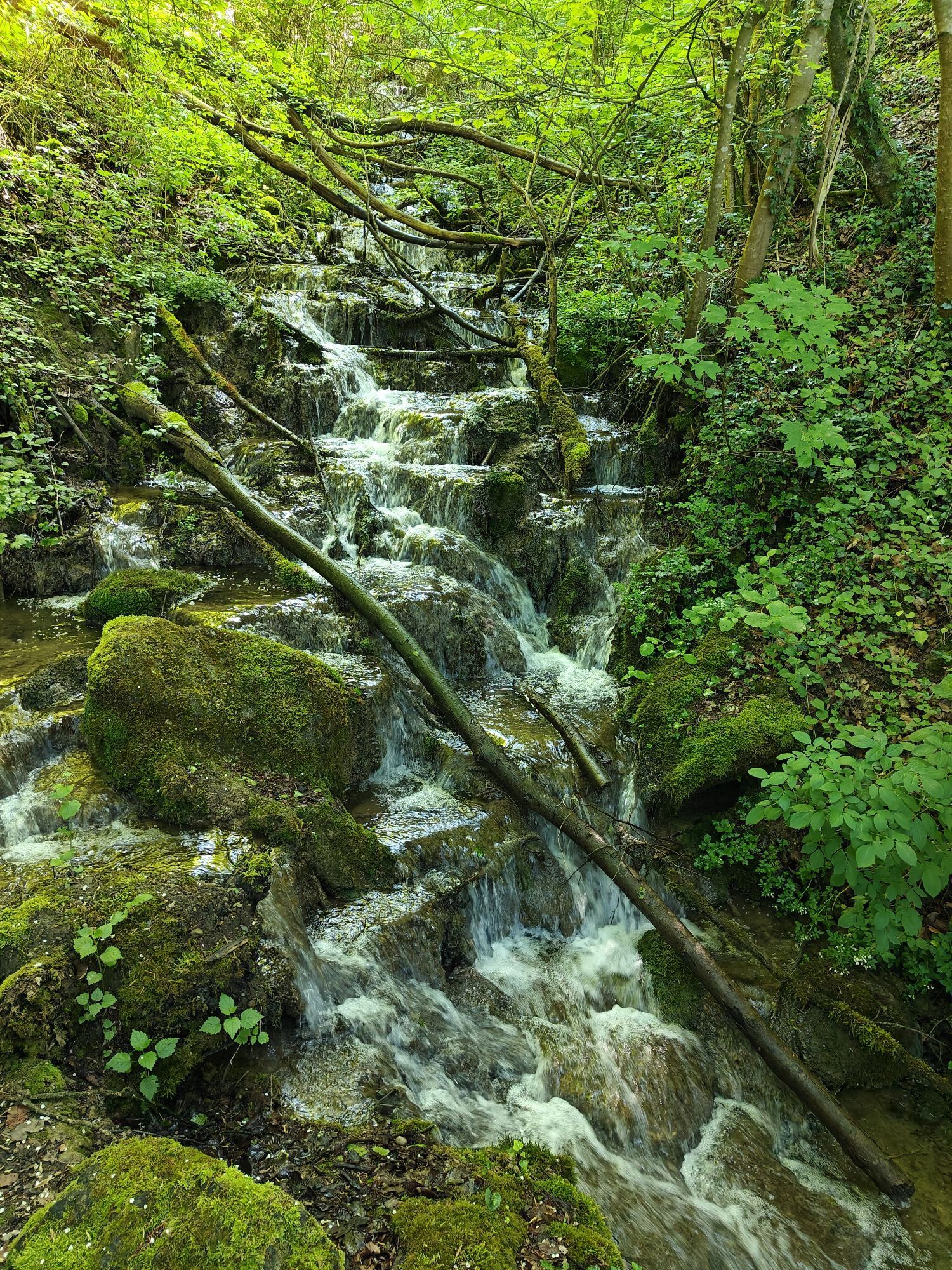
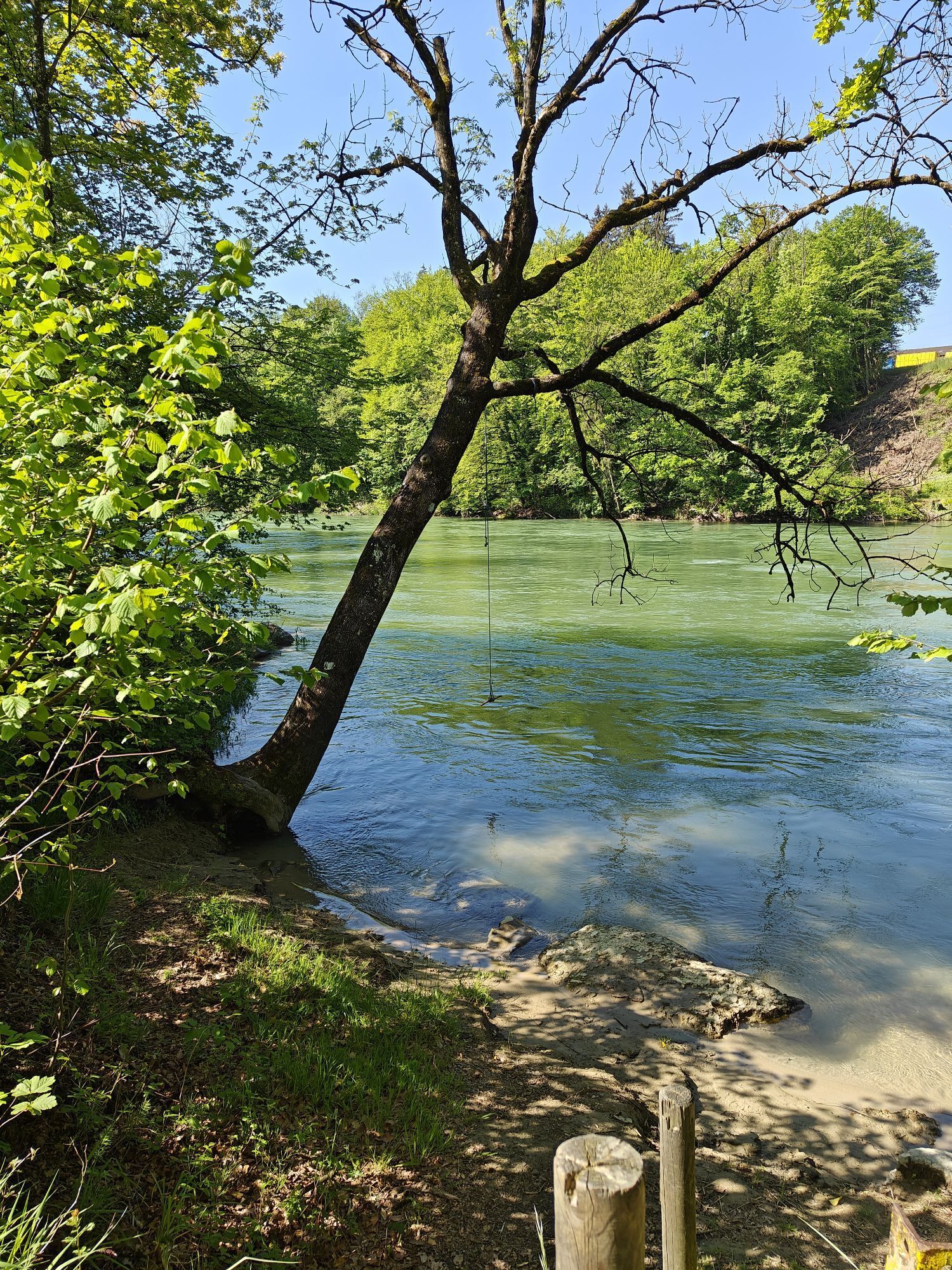
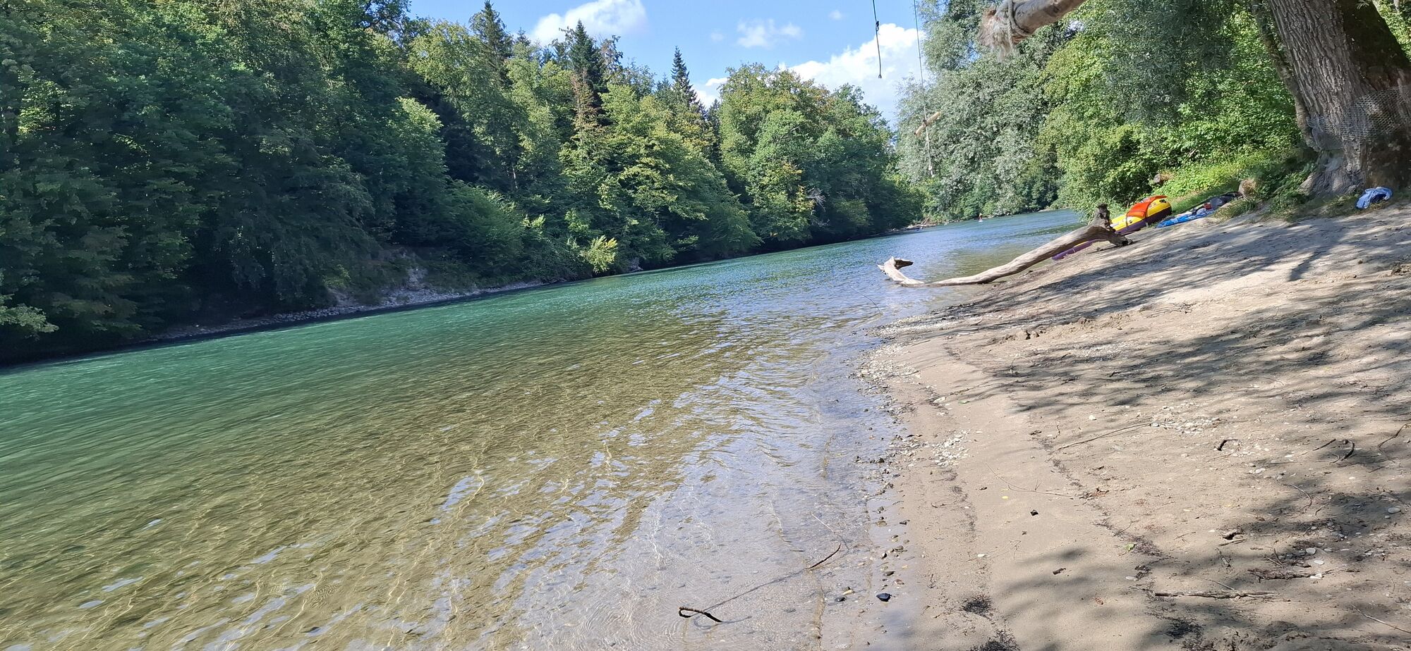
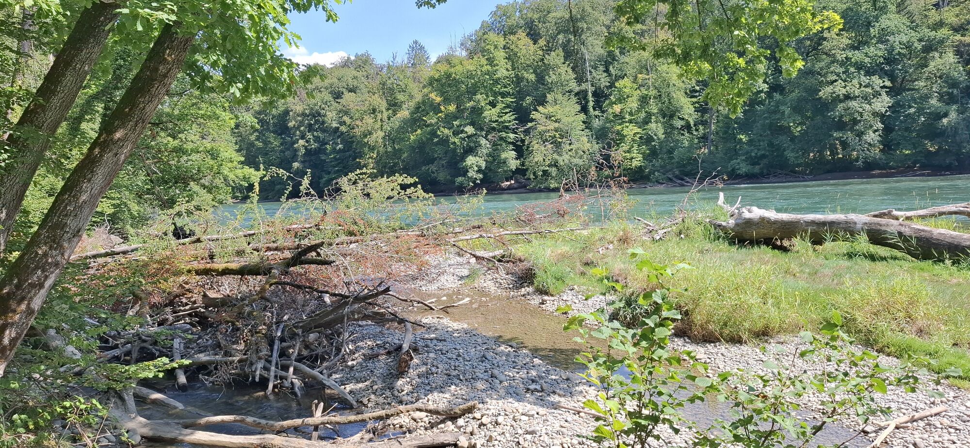
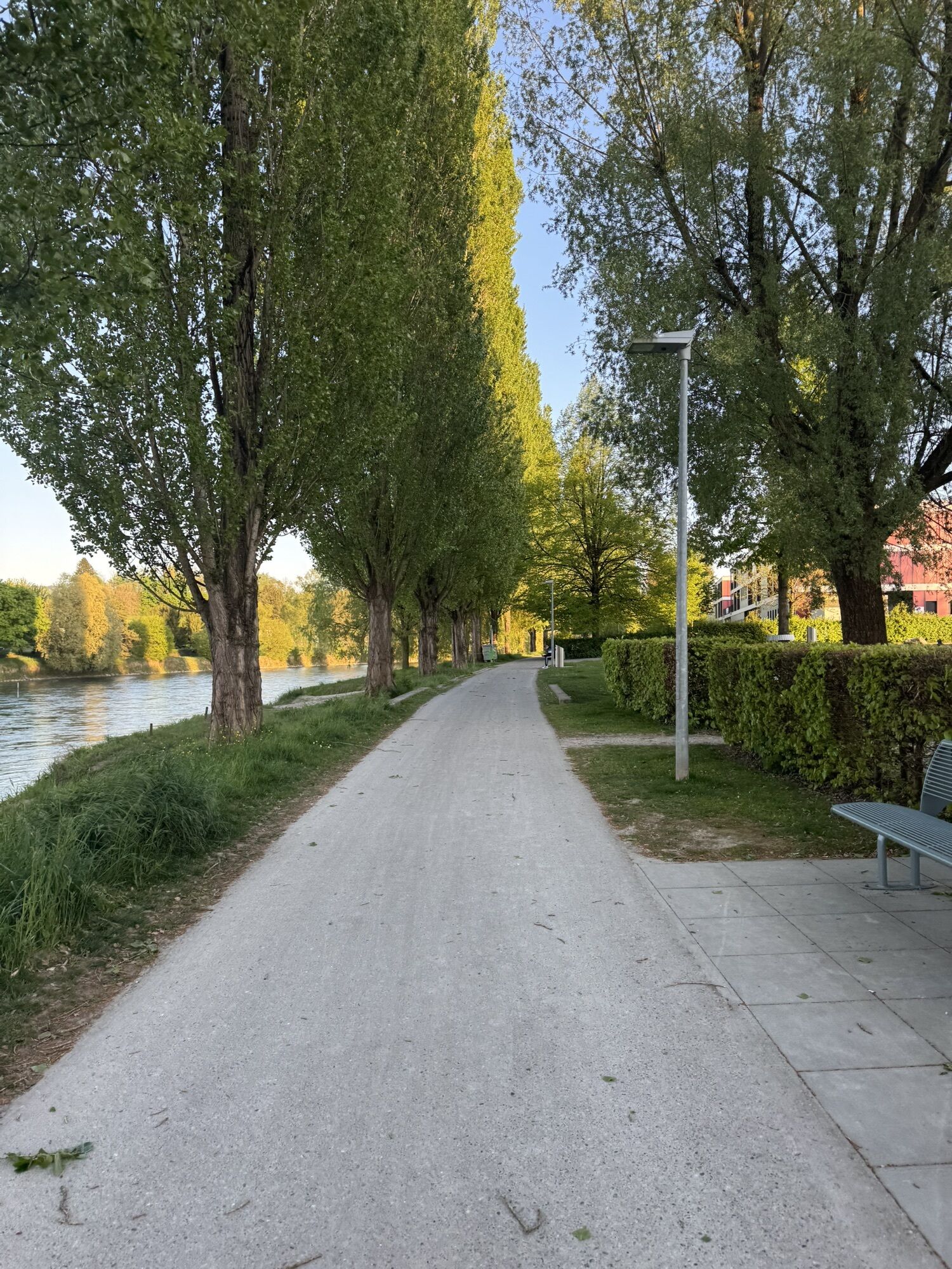
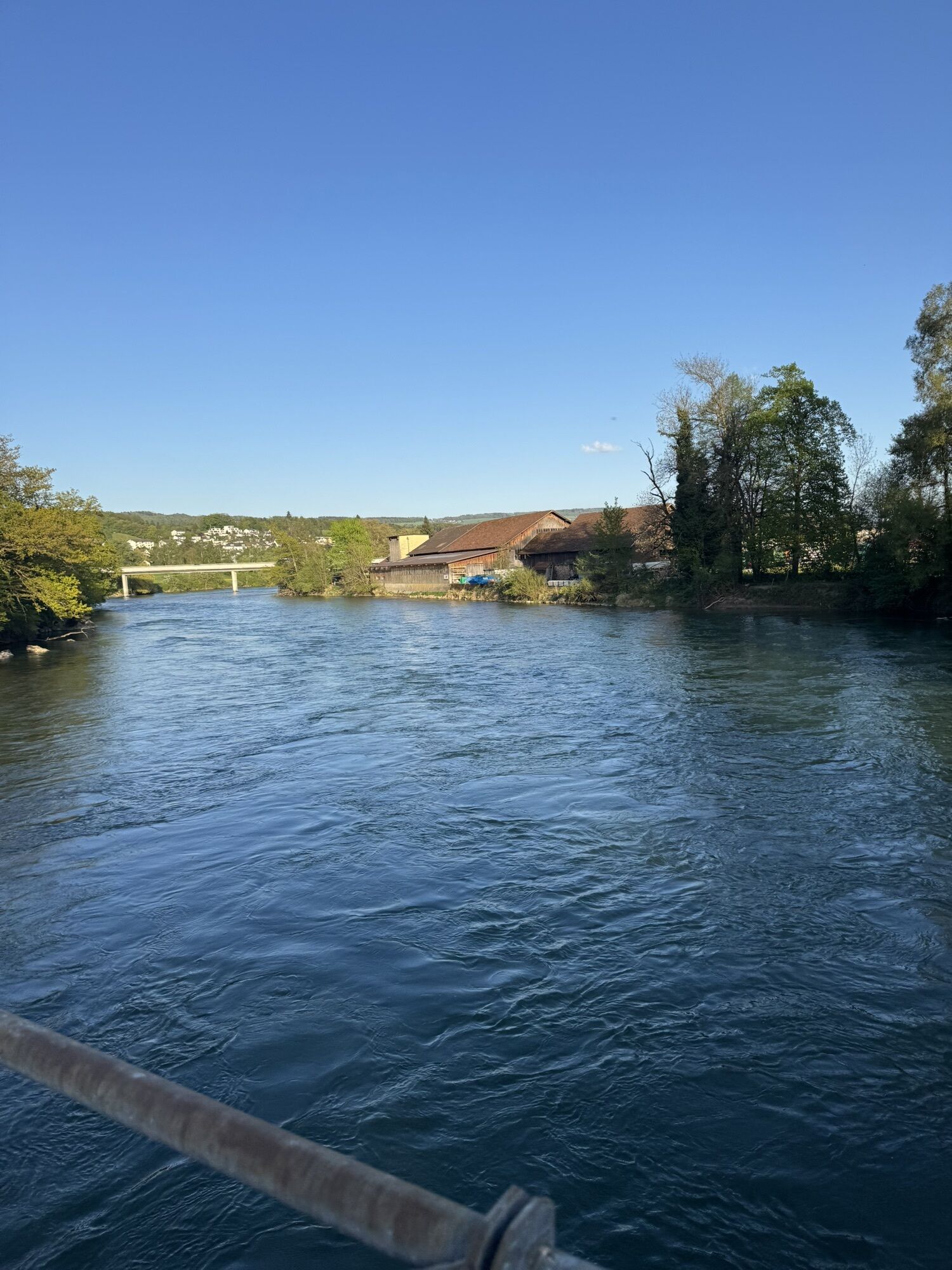
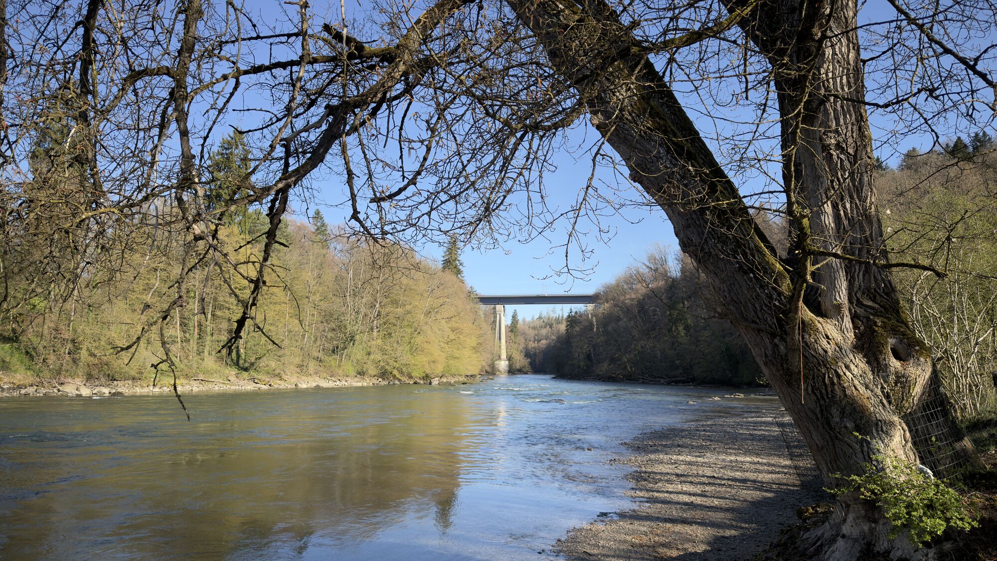
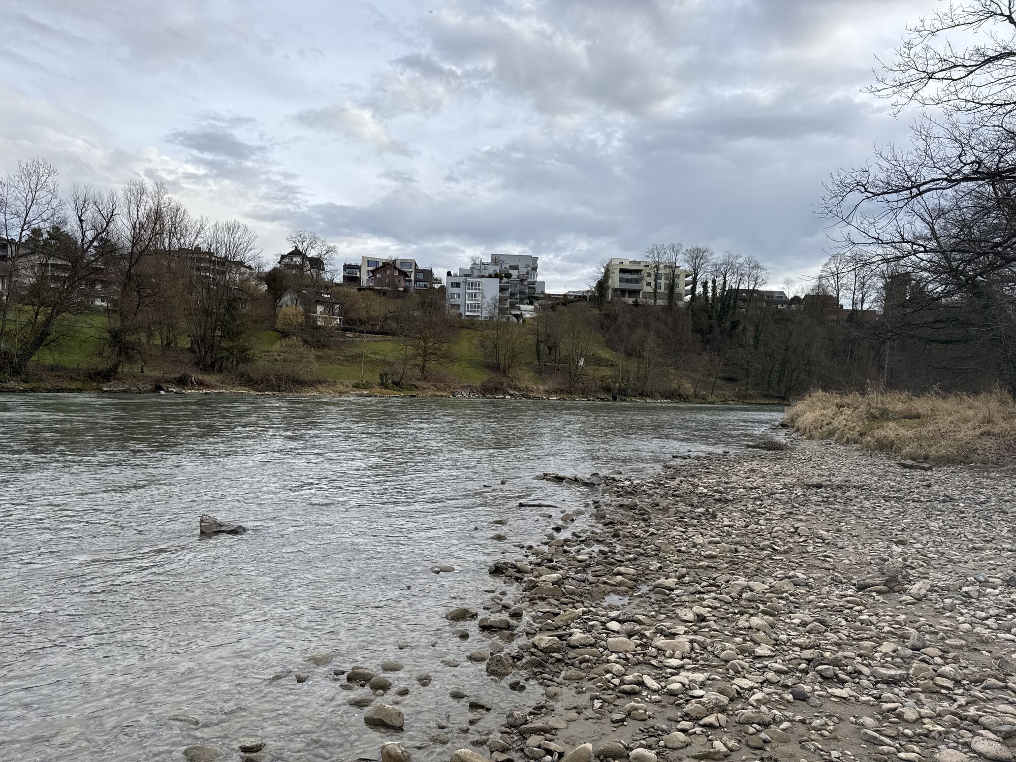
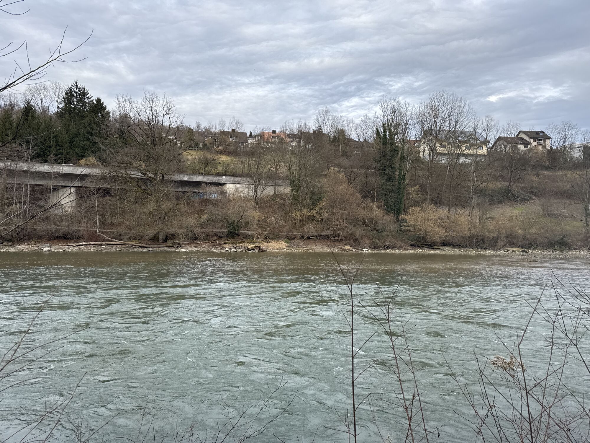
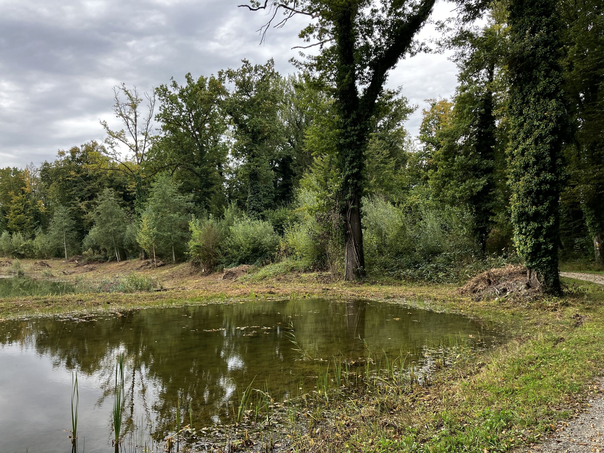
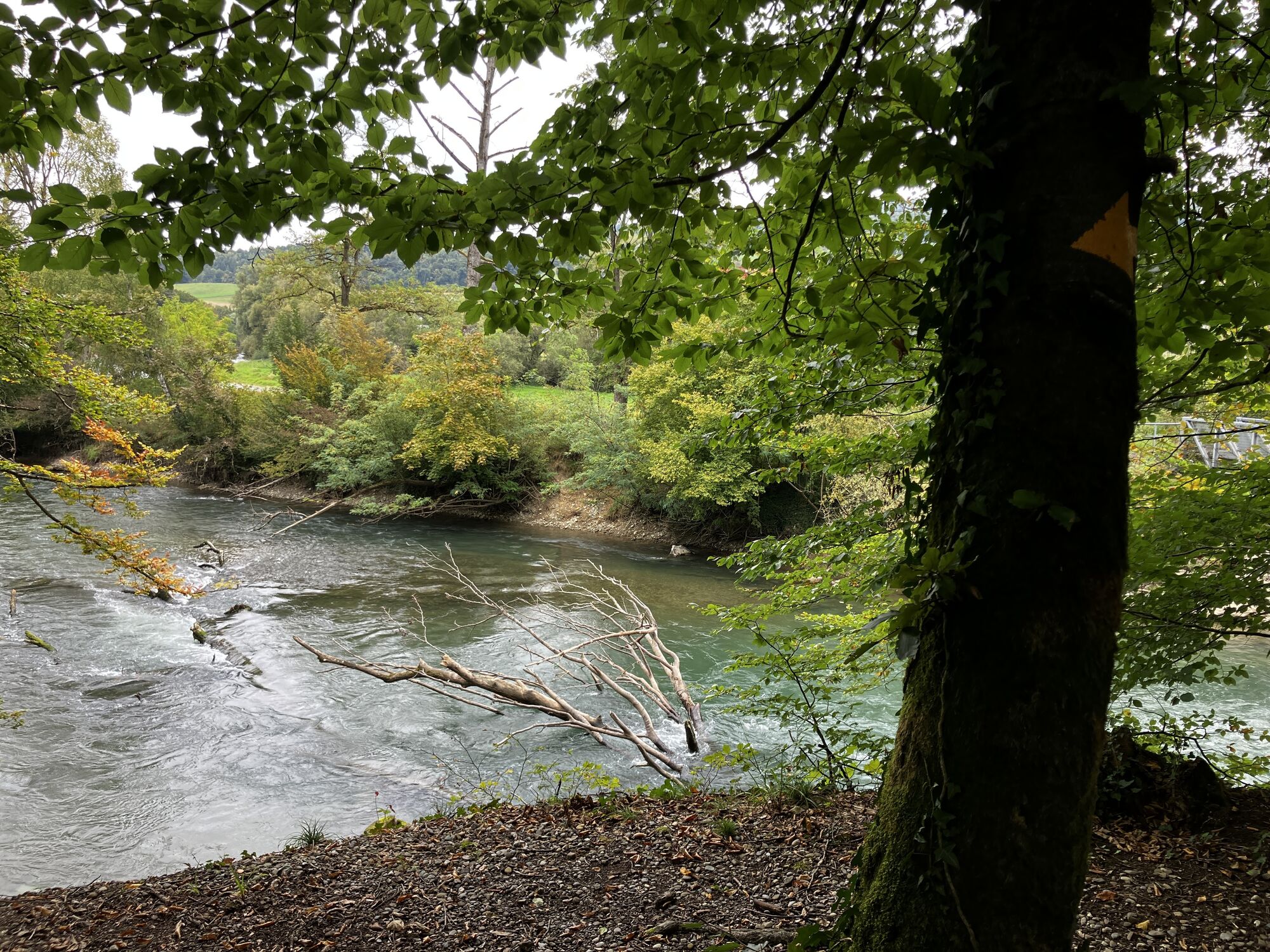
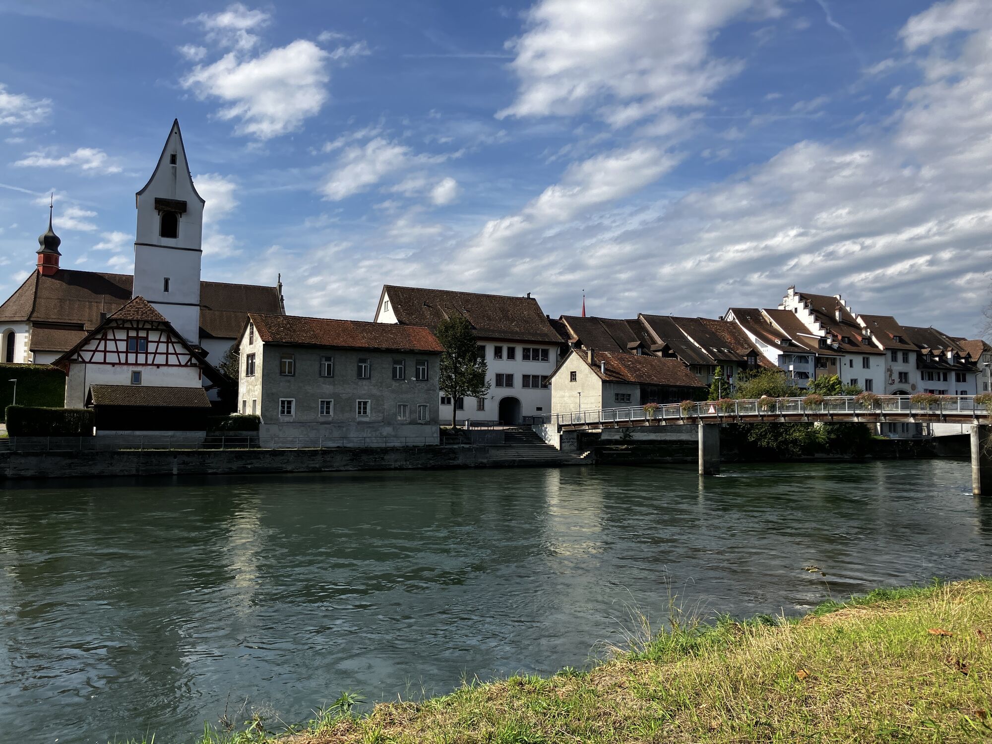
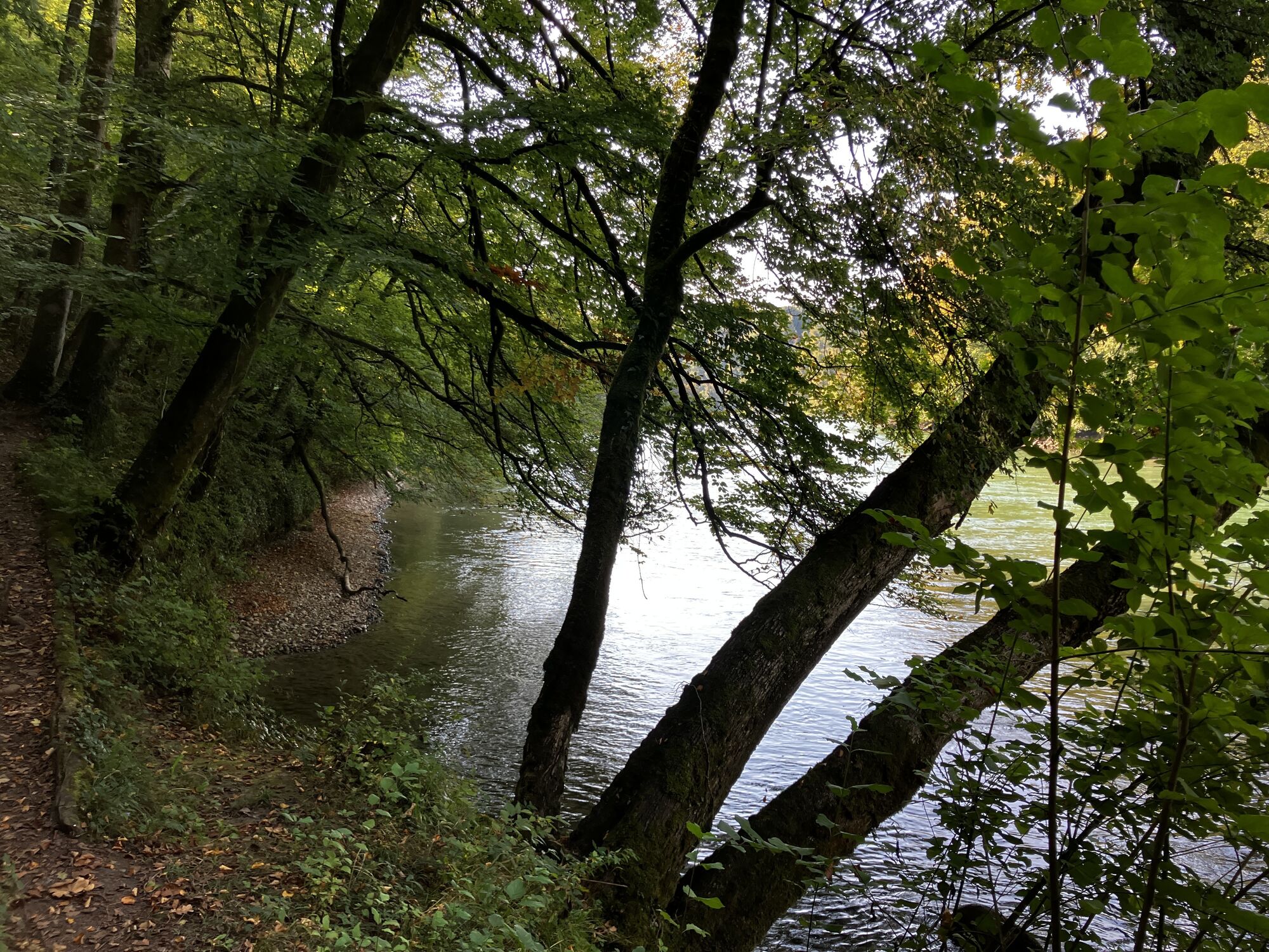
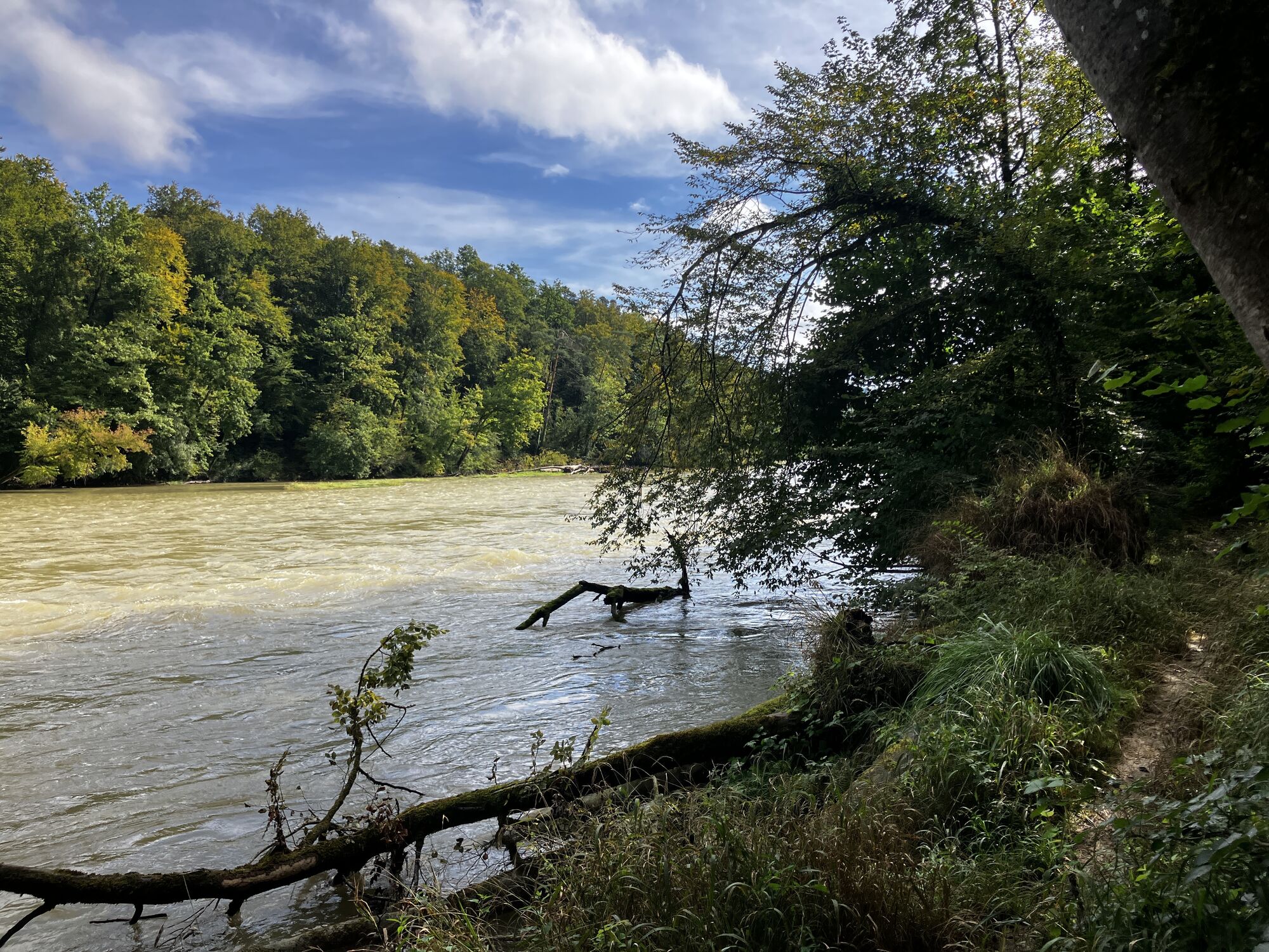
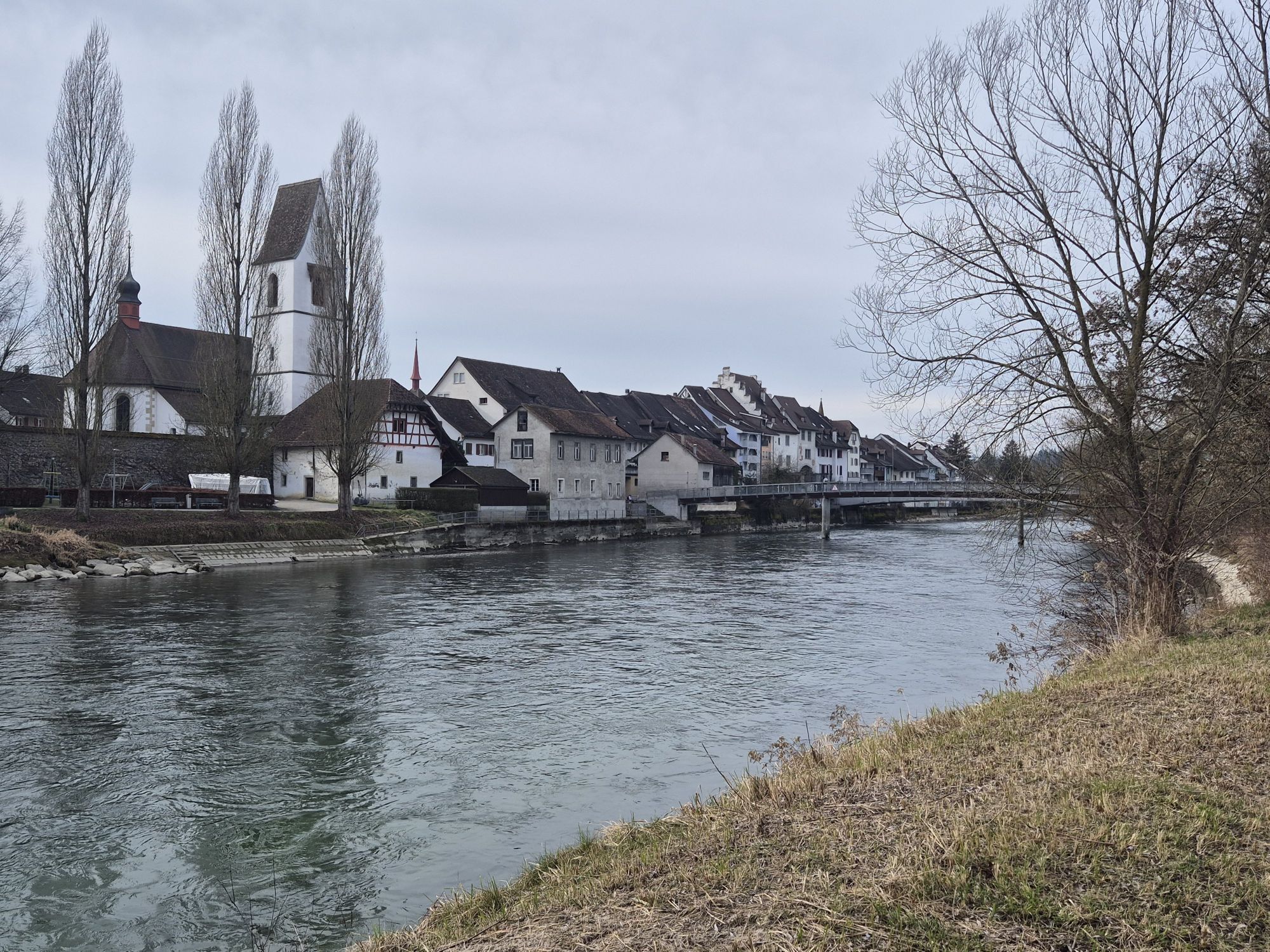
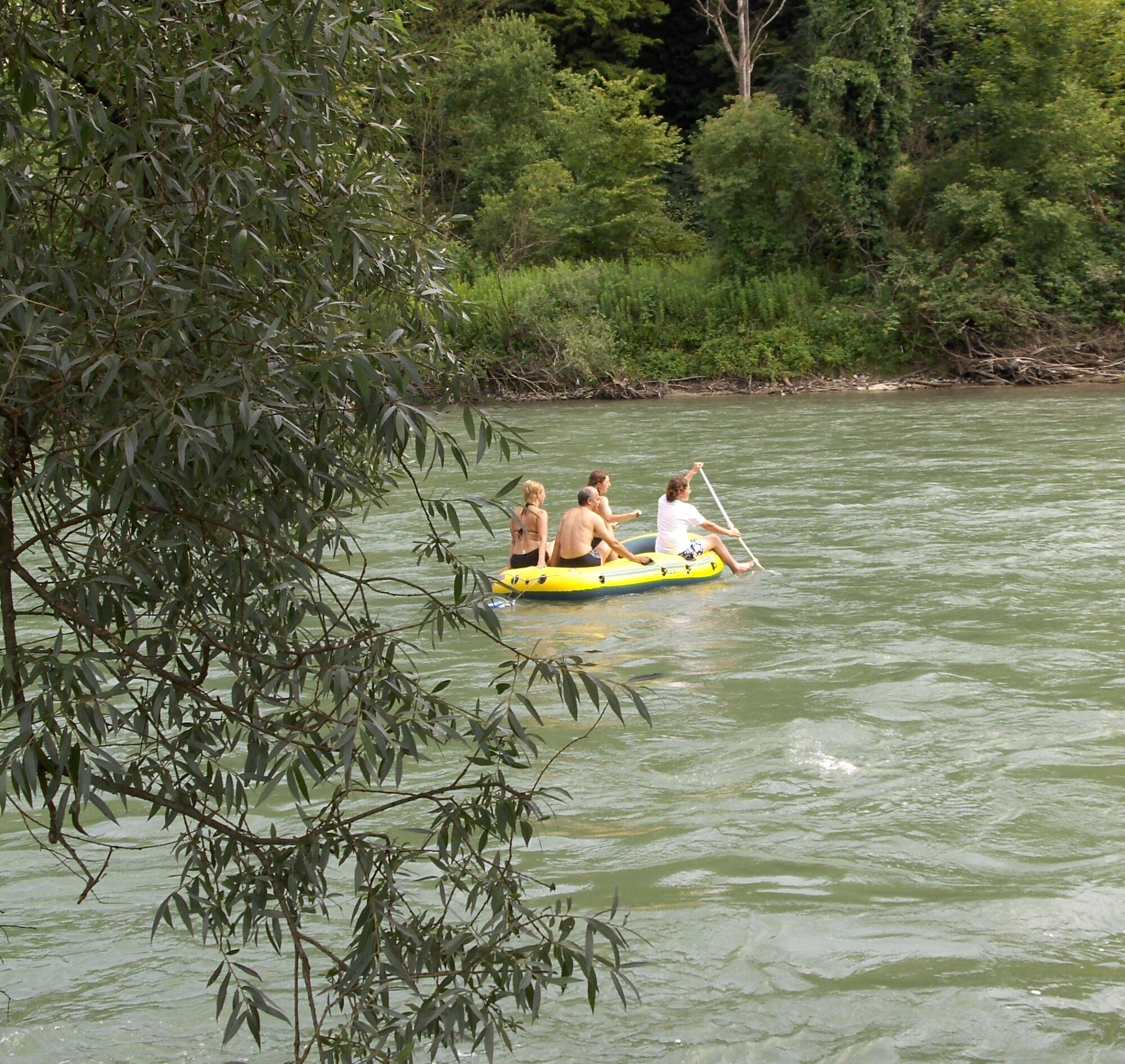
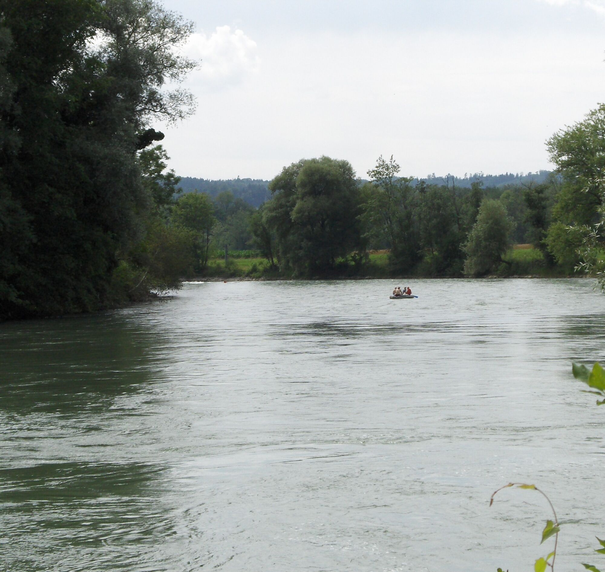
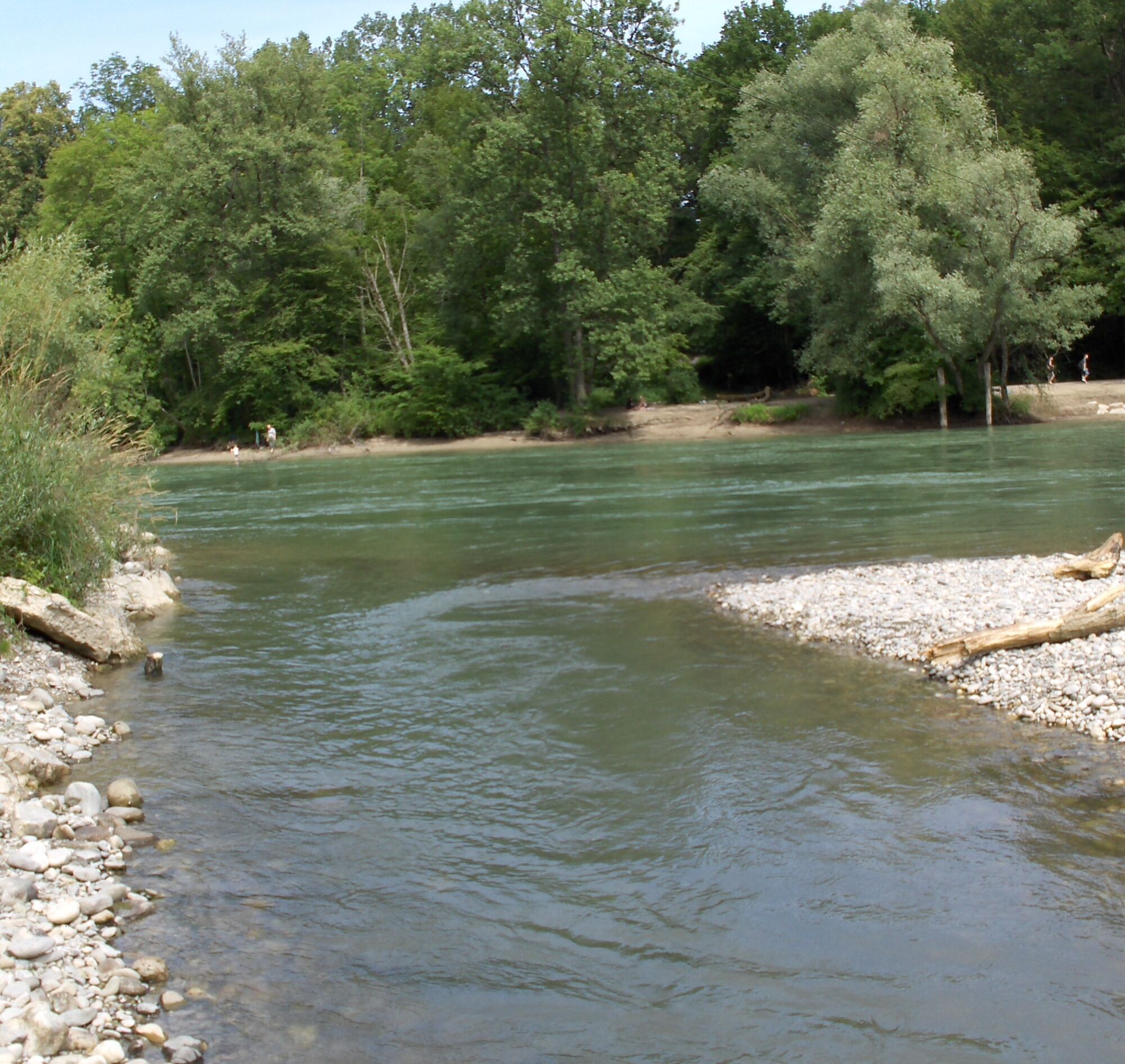
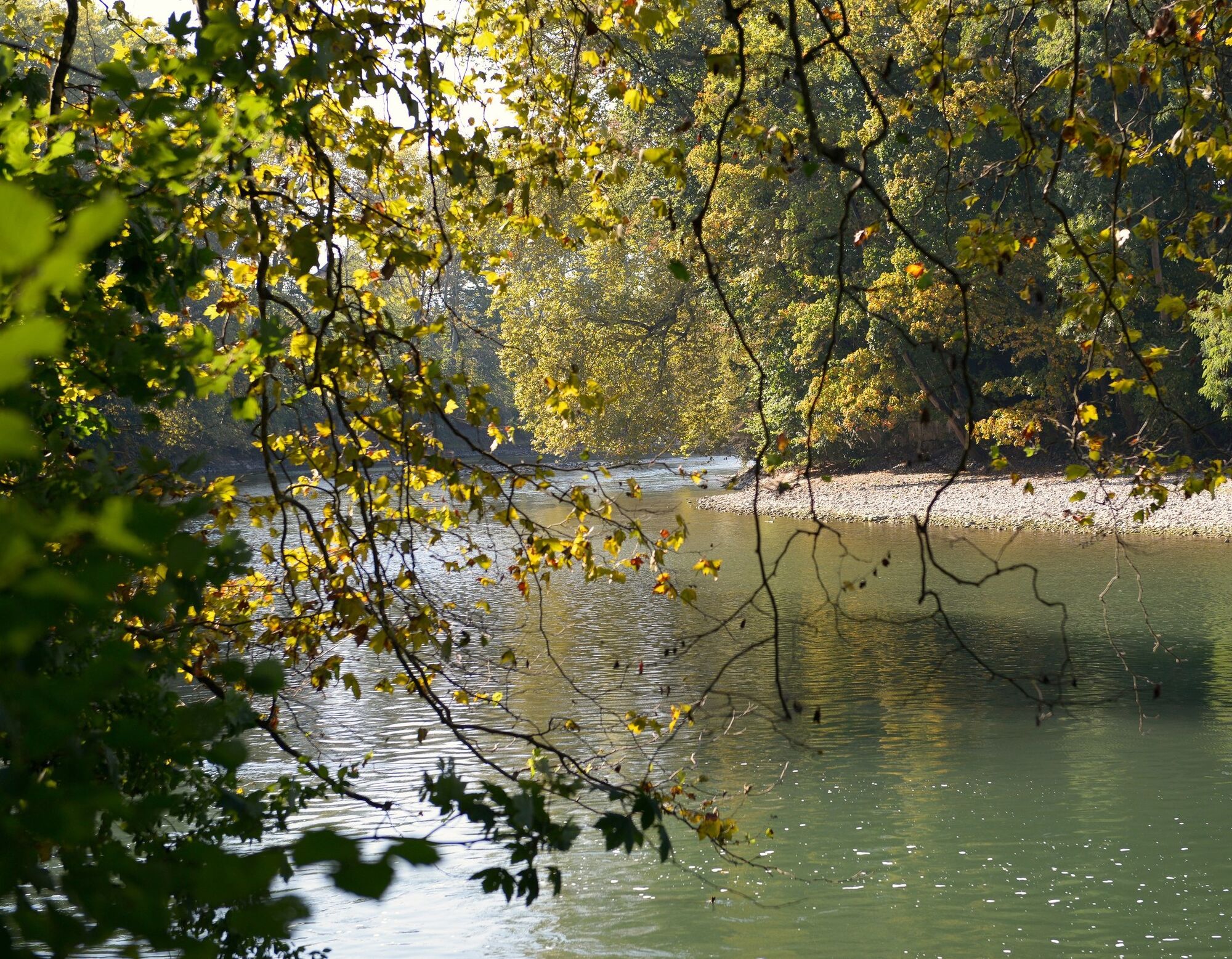
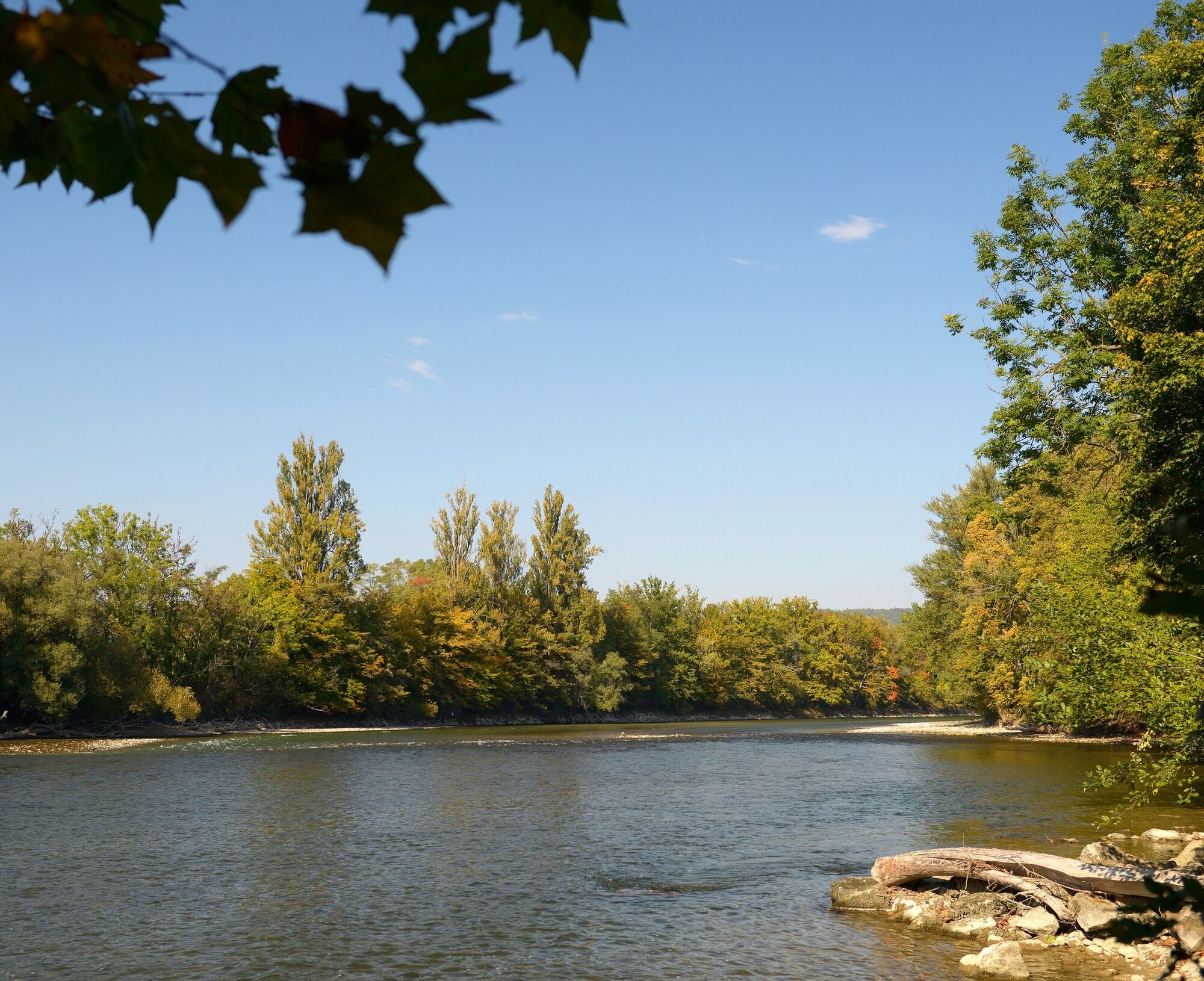
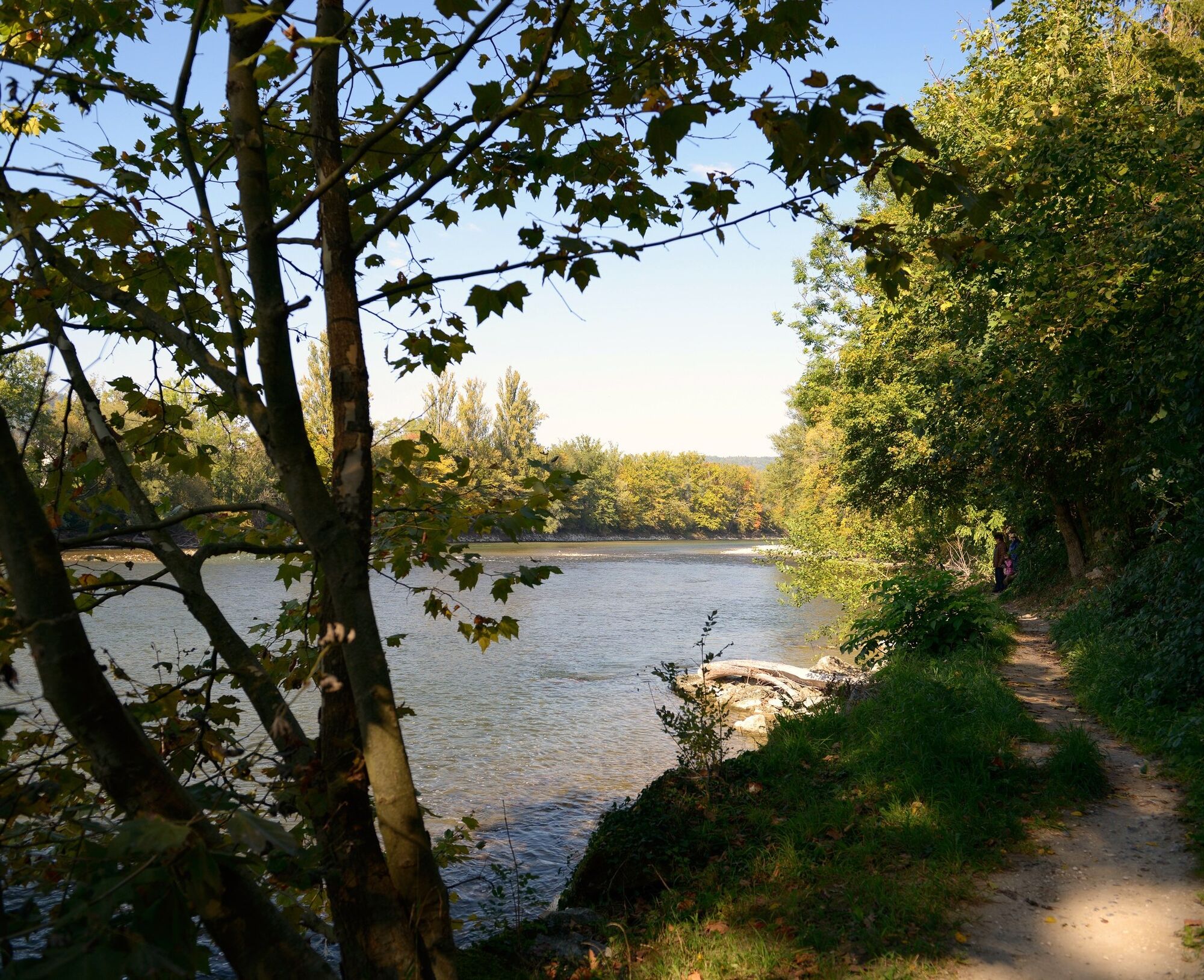
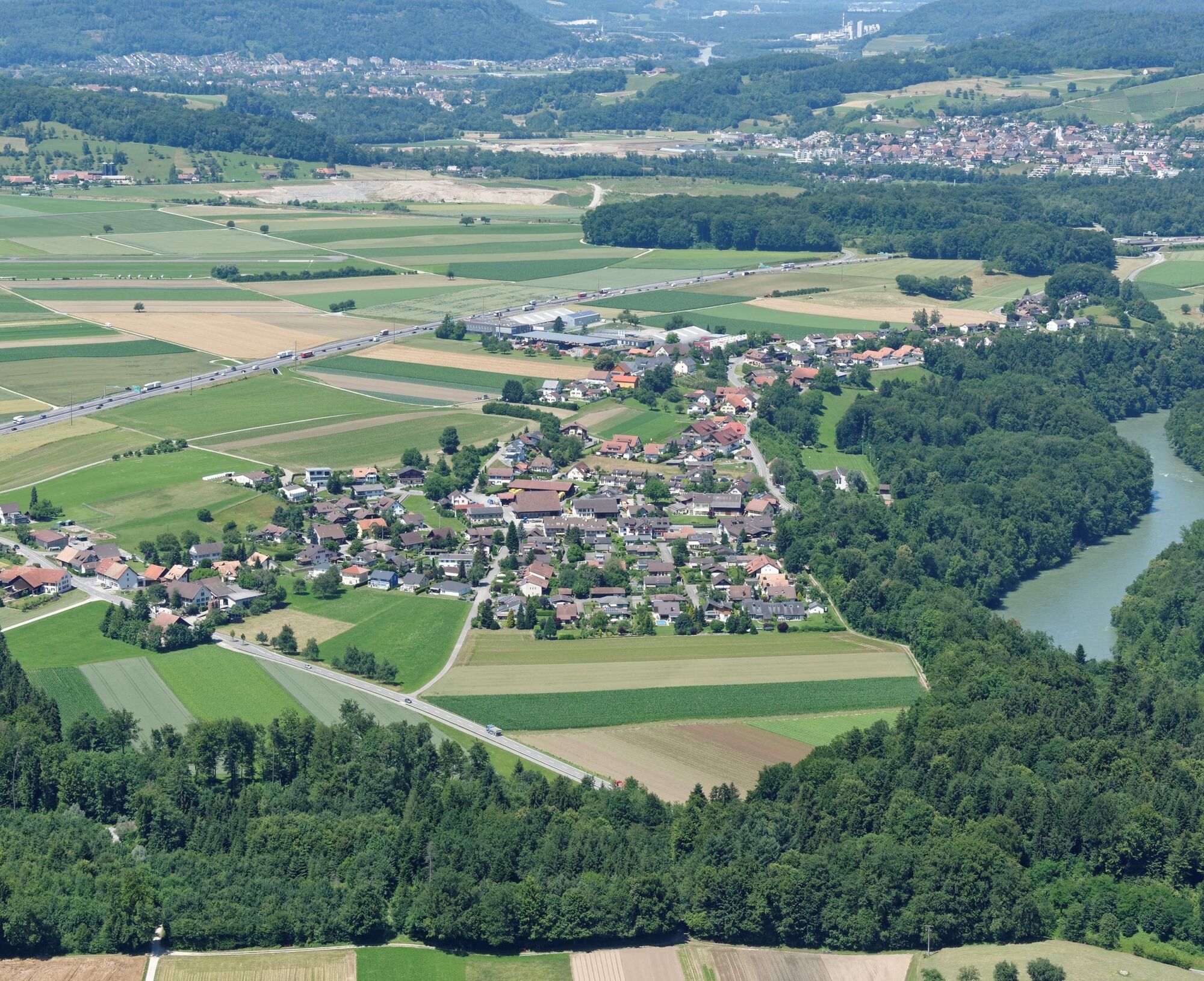
From the Bruggmühle power plant in the picturesque Bremgarten, you embark on a journey through one of the largest natural landscapes of the Central Plateau. The Reuss meanders in large loops around the well-known Habsburg town and through lush green banks that are protected along their entire length. The river itself is very varied. Various rapids require attention and skill. In the calmer stretches, you can explore numerous islands.
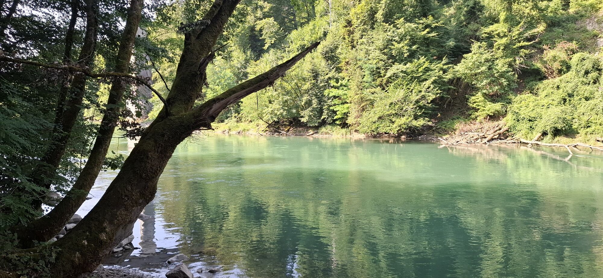
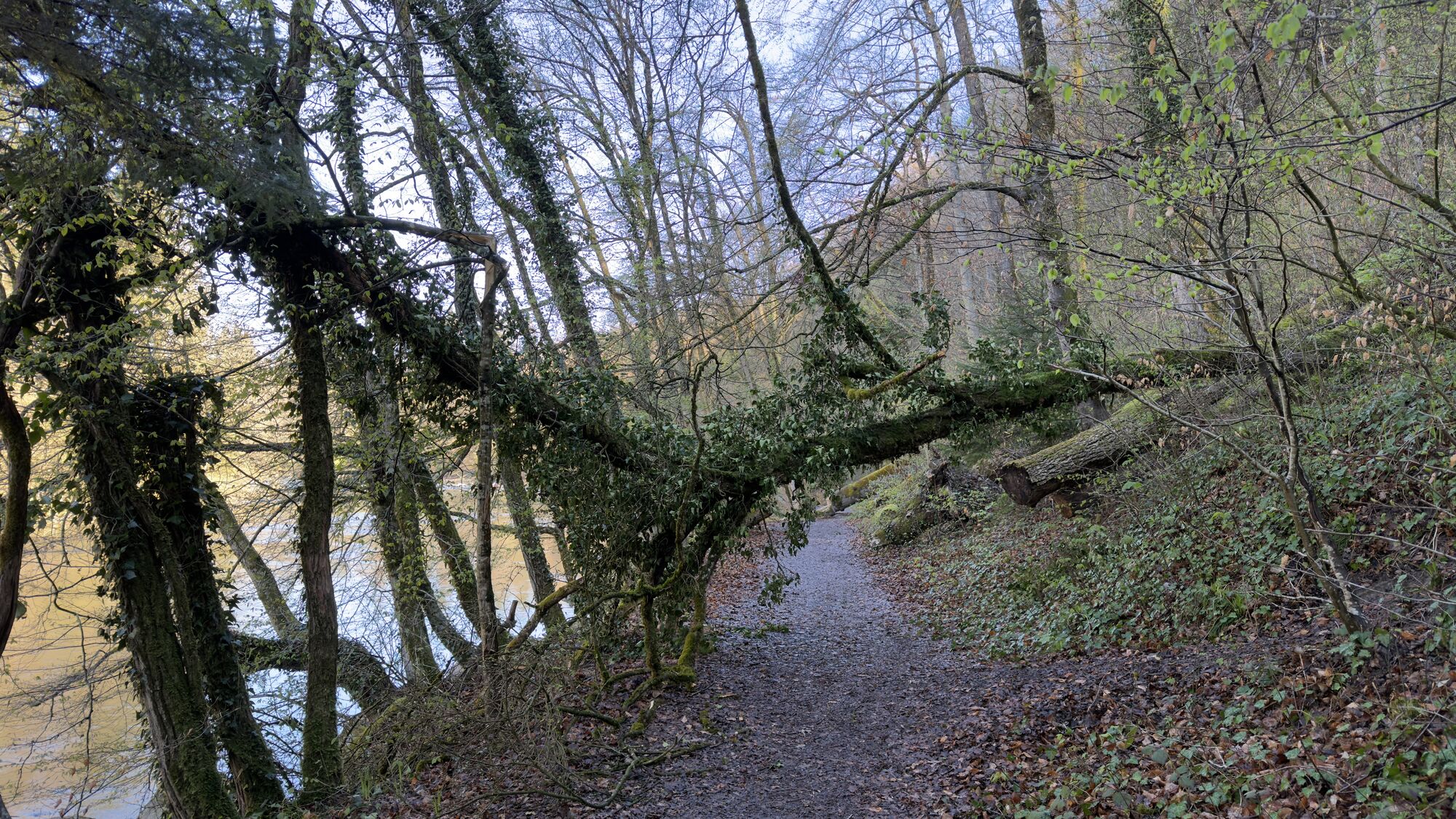
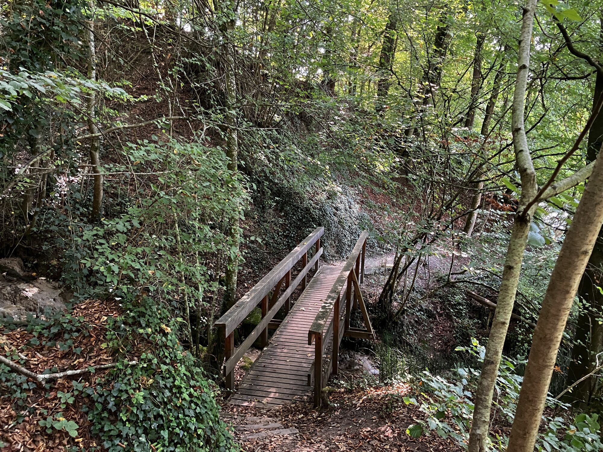
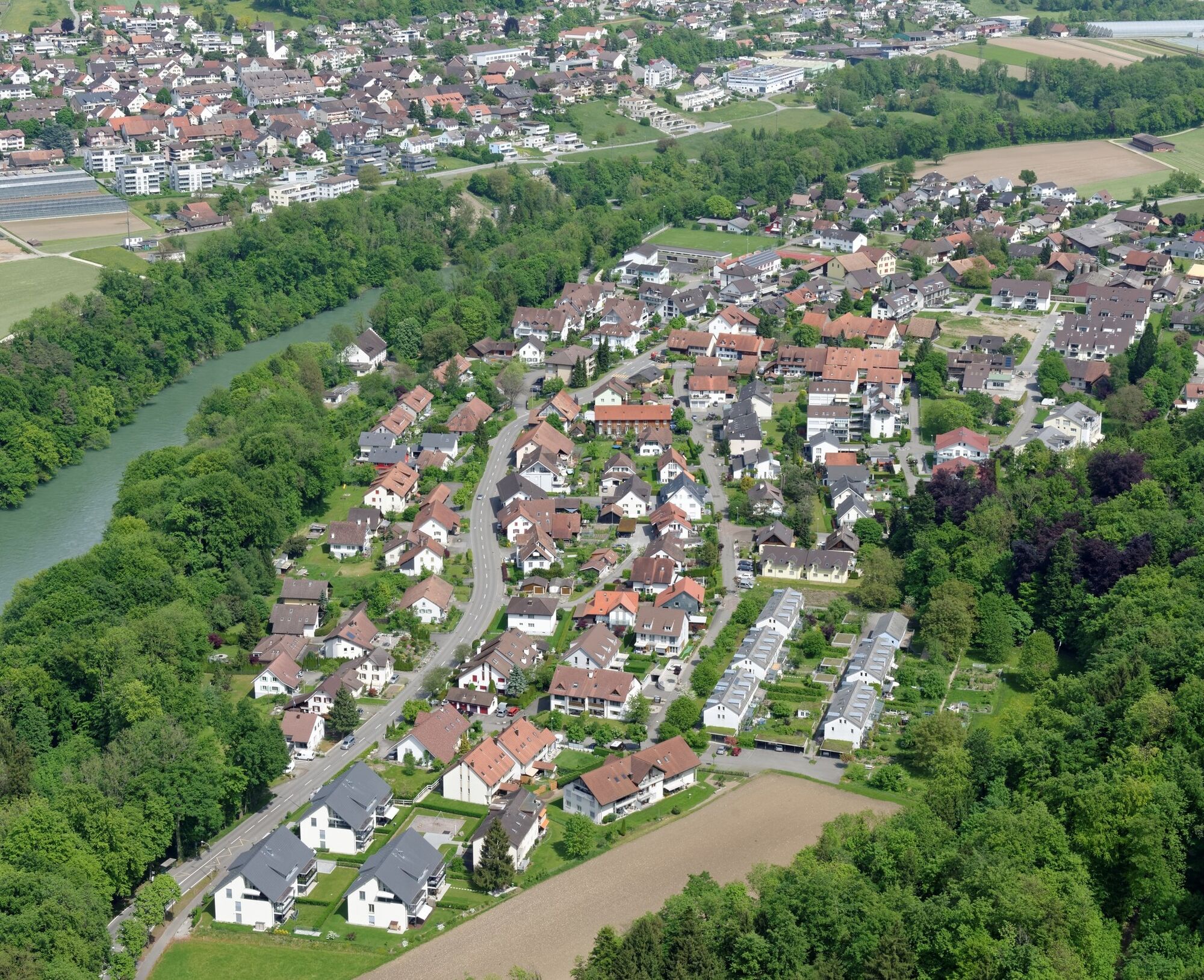
Passing the Gnadenthal monastery, the beautiful town of Mellingen, and finally through a dark, secluded forest gorge, you paddle with the swift current toward the exit in Gebenstorf. The fascinating natural beauty and the slight whitewater make the Reuss one of the most rewarding destinations for paddlers in Switzerland.

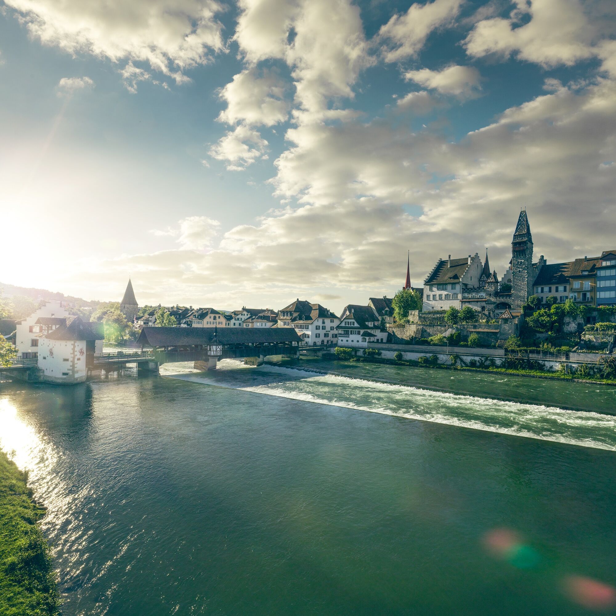
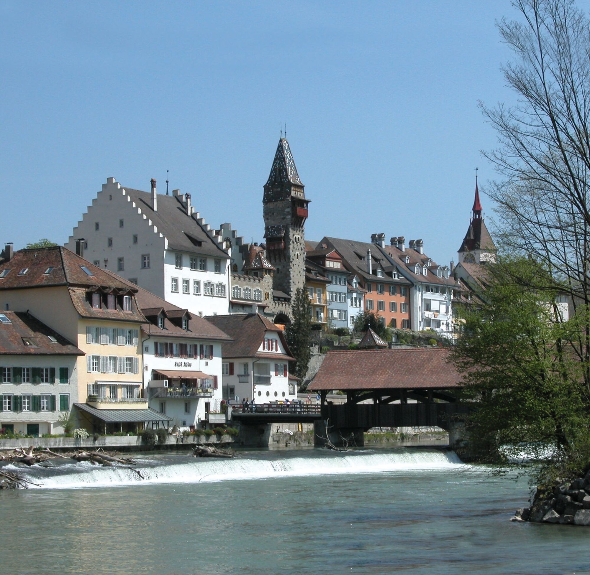

From the tram stop «Bremgarten Obertor» it is about a 7-minute walk to the Hexen Tower (Reussgasse 23, 5600 Bremgarten).
Canoe
Paddle
Hazard points
Driving ban in the Reussdörfli district of Gebenstorf
Access to the take-out point in Gebenstorf with a motor vehicle is prohibited. There is a driving ban throughout the Reussdörfli district, and violations are fined.
Protected areas
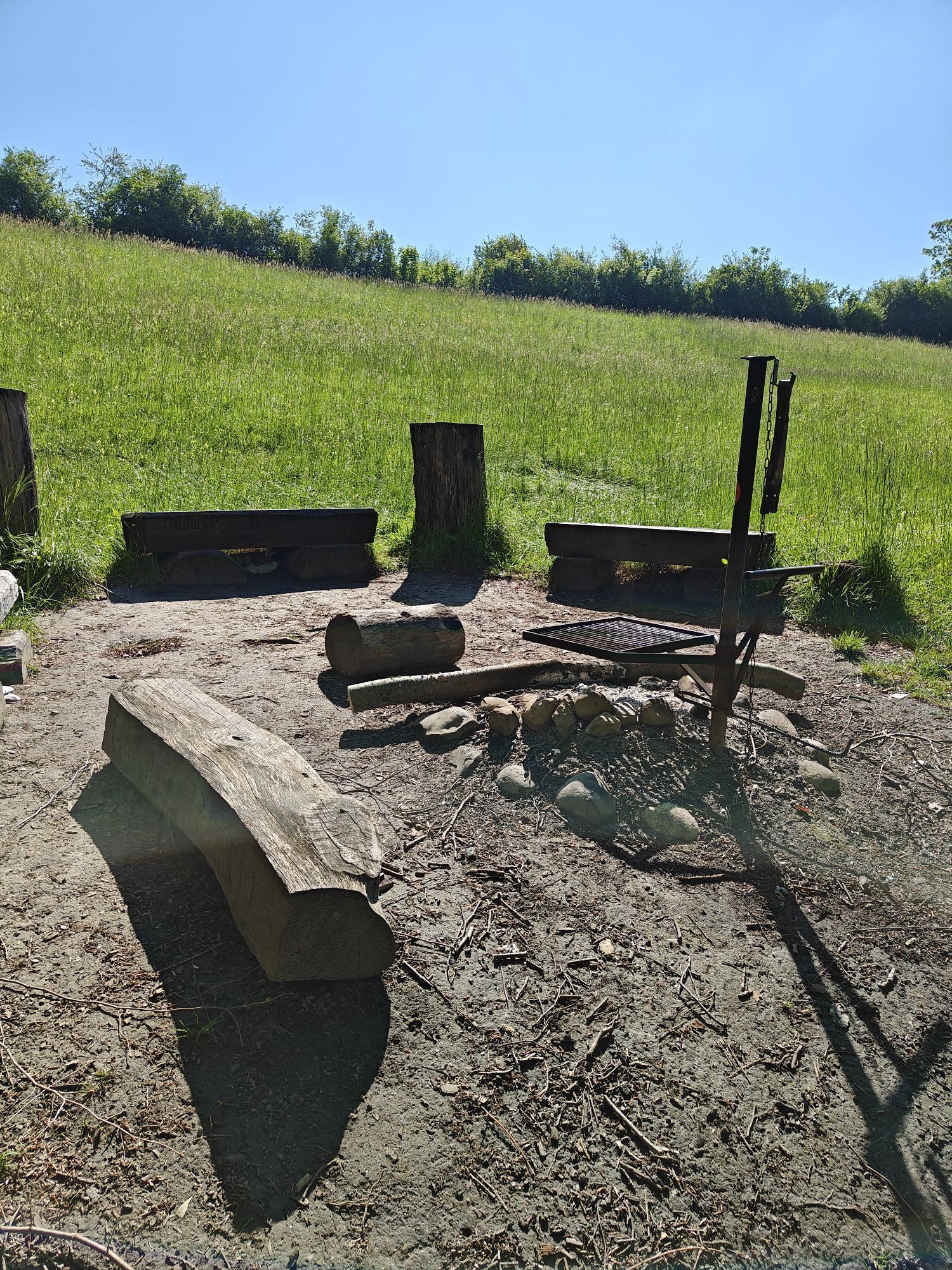
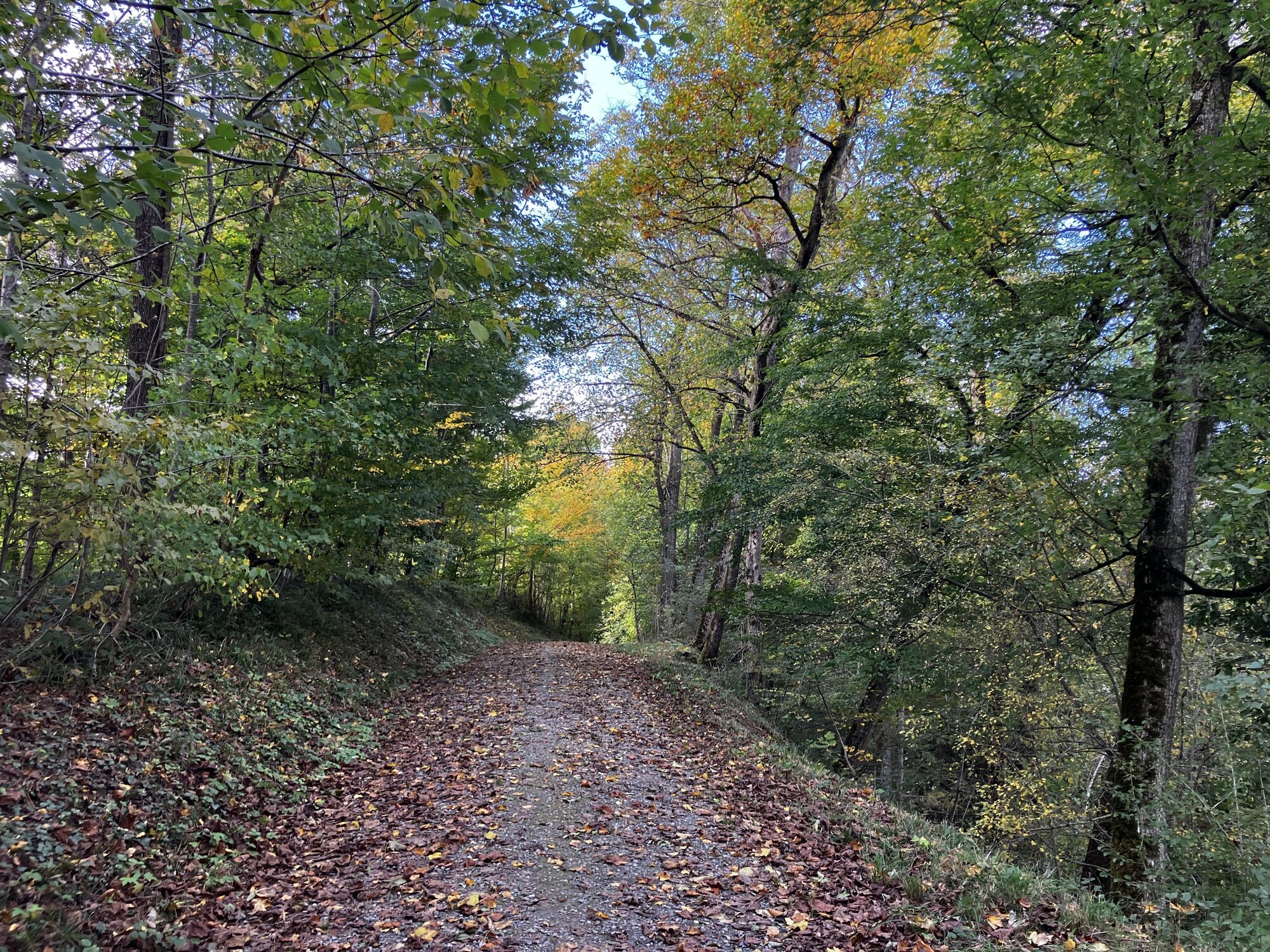
The entire section is within a landscape conservation area. Only land at the numerous designated rest areas. Other shore zones and islands must not be entered, and side arms must not be paddled. Fires are only allowed at the designated fire pits. Camping is generally prohibited.Travel by public transport is recommended.
From the tram stop «Bremgarten Obertor» it is about a 7-minute walk to the put-in location at the Bruggmühle power plant.
You can plan your journey to the tram stop «Bremgarten Obertor» here.
The car park «Obertor» in Bremgarten is open 24 hours.
3
GPS put-in location: 47.35008, 8.33907
Získejte přehled Vždy živě na místě s více než 9 500 webkamerami. bergfex Jako uživatel Pro si nyní můžete zobrazit odpovídající webové kamery pro mnoho prohlídek v aplikaci prohlídky z. Můžete si tak přímo prohlédnout aktuální podmínky. Oblíbené prohlídky v okolí
- 5.0
Lägern ridge hike
středníTuristika 12.0 km - 3.8
Chänzeli -Tour: Eine Panorama - Stadtwanderung
světloTuristika 7.81 km - 4.6
Lägern Rundwanderung
středníTuristika 13.0 km - 4.7
Gisliflue & Gratwanderung, Schweiz
středníTuristika 8.59 km - 4.0
Gratwanderung über die Lägern
heavyTuristika 14.8 km - 4.0
Waldlehrpfad Emauswald
světloTematická stezka 3.91 km - 5.0
Schinznach Bad - Brugg, Schweiz
světloTuristika 10.5 km Habsburg Route 5th stage: Mellingen - Bremgarten
středníTuristika 14.2 kmLakeside path Seerose - Seengen
Turistika 5.79 km- 5.0
Limmat Cultural Route
světloTematická stezka 8.77 km
Pěší turistika a stopování


Nenechte si ujít nabídky a inspiraci pro vaši příští dovolenou
Vaše e-mailová adresa byl přidán do poštovního seznamu.





