







To the Baldiscio Lakes

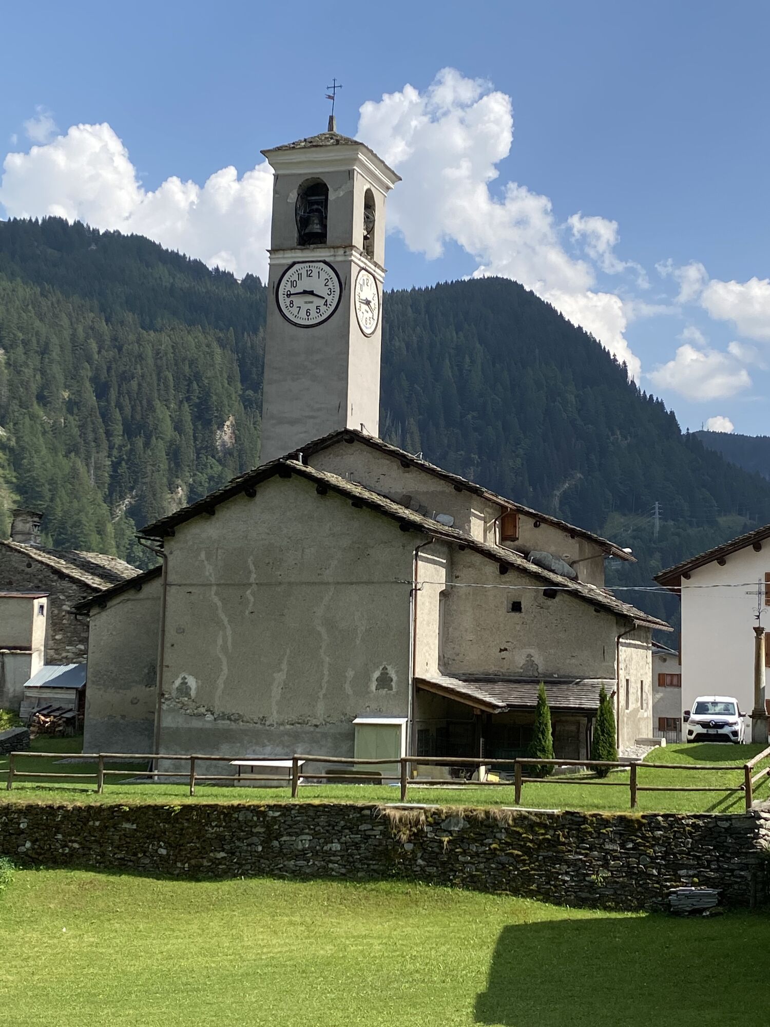
To travel on the consortium road, you must purchase a transit permit at the kiosk on the eastern outskirts of Isola.
After passing through the village of Isola via a series of hairpin turns, you’ll reach...
After passing through the village of Isola via a series of hairpin turns, you’ll reach the beautiful mountain huts of Cà Raseri; cross the bridge on the left, and immediately on the right you’ll see the dirt road to take.
Leave your car in one of the parking lots, cross the stream over the small wooden bridge, and walk through a beautiful larch forest.
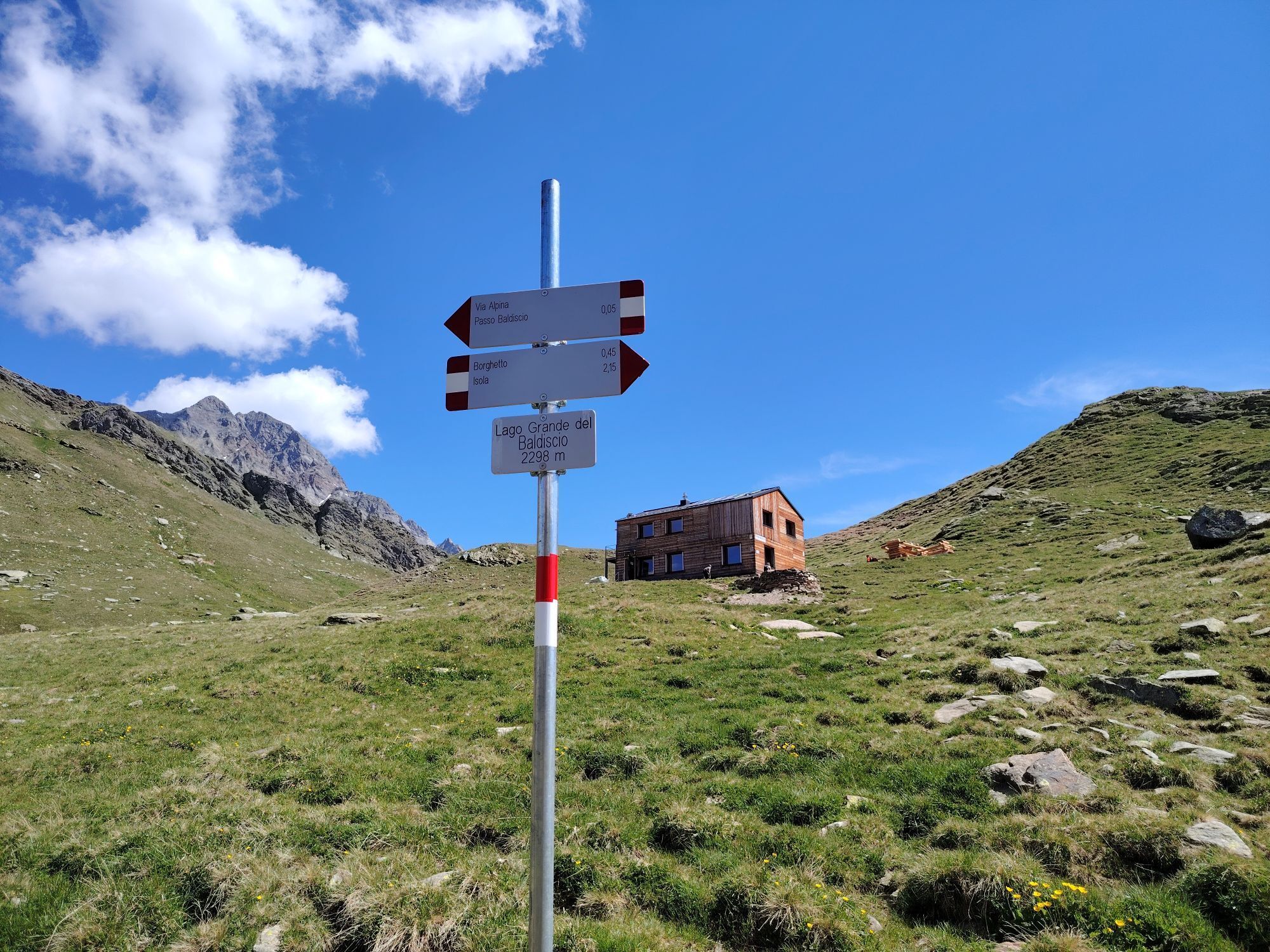
Follow the well-marked trail, which quickly leads to Alpe Borghetto (1,897 m).
Once past the mountain huts, the trail—which remains clearly visible and well-marked (with signposts)—turns sharply westward through vast, magnificent pastures.
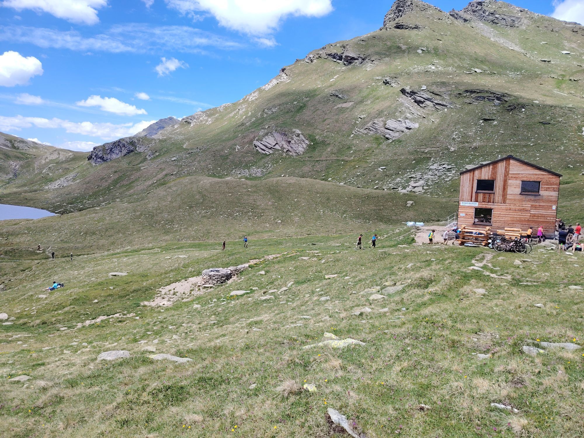
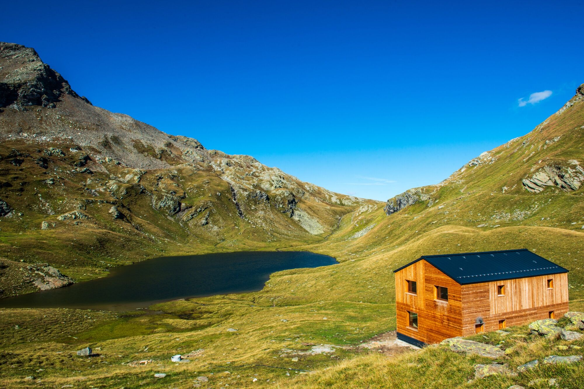
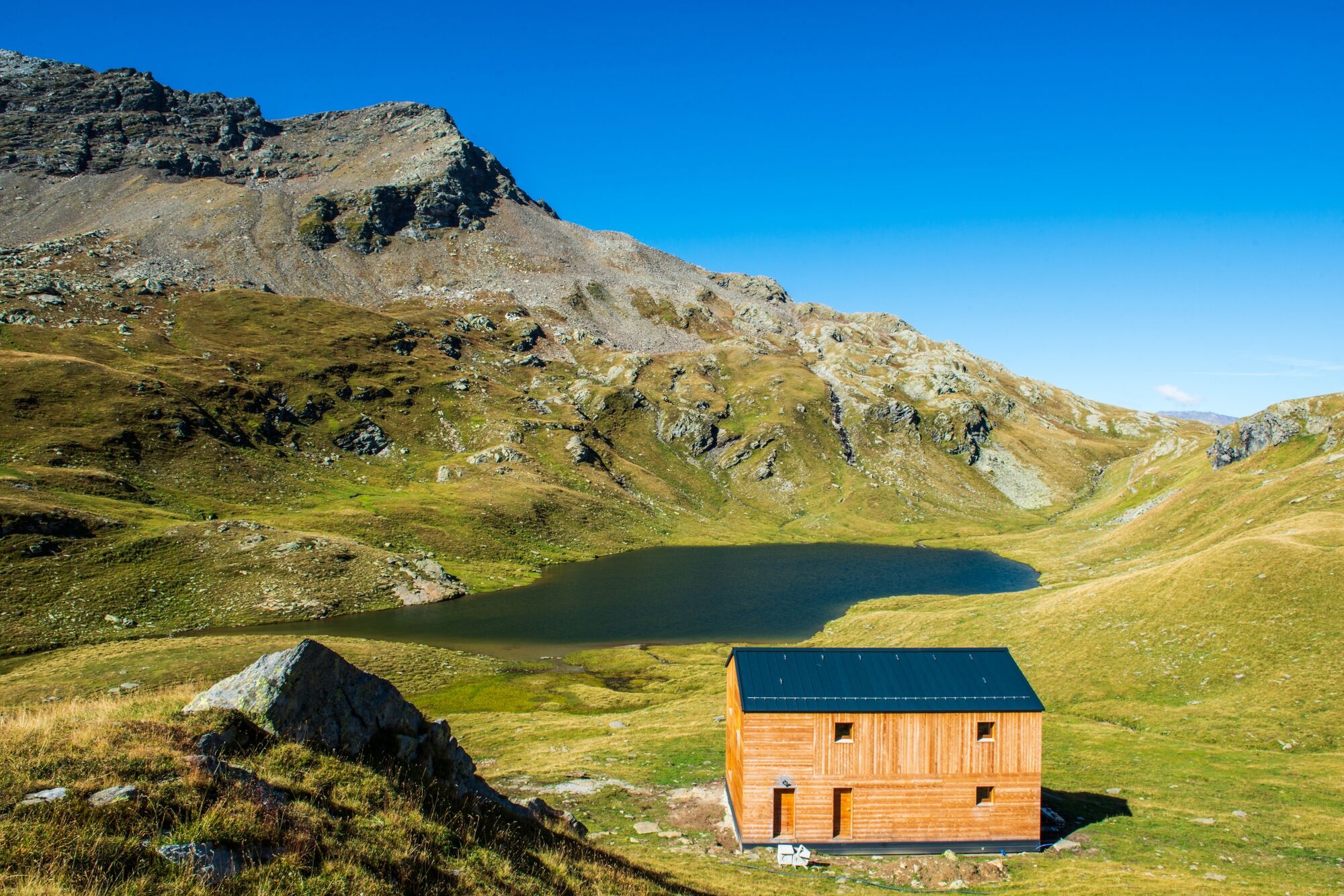
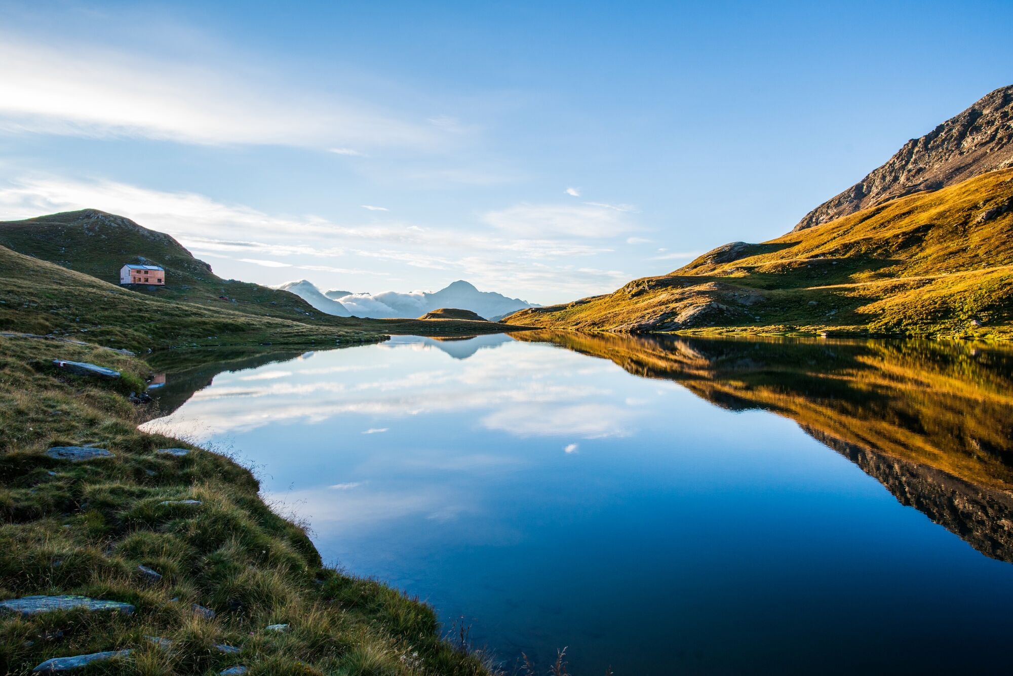
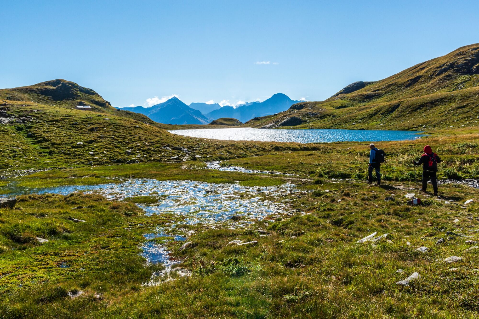
Never too strenuous, it reaches a prominent morainic ridge leading to the shores of Lago Grande (2,353 m).
You can continue past the small Lake Mot and on to the Baldiscio Pass, fifty meters higher up.
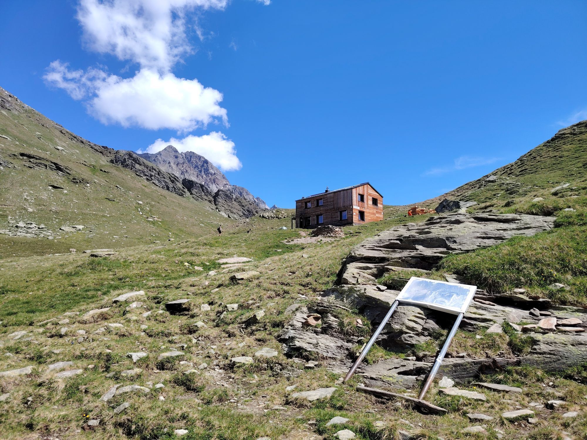
The brand-new, staffed mountain hut, reflected in the calm waters of the lake, is beautiful and well-located.
For reservations:
Tel. +39 3793937115 rifugiobaldiscio@outlook.it

Val Febbraro - Borghetto
from the north via the Spluga Pass (closed in winter).
The town of Isola is located along Provincial Road 1
At the Cà Raseri parking lot
Webové kamery z prohlídky


Oblíbené prohlídky v okolí
- 5.0
Montespluga - Splügen Pass - Bergseeli - Lago Azzuro - Bocchetta della Zacopel - Montespluga
heavyTuristika 7.15 km Montespluga - Lago di Montespluga - Cardinello Schlucht - Isola
středníTuristika 9.38 km- 5.0
Da Montespluga al Lago d’Emet
středníTuristika 7.94 km Suretta
světloTuristika 11.3 km- 4.0
Altes Zollhaus - Rustico - Chiesa parrocchiale dei Santi Martino e Giorgio - Isola
středníHorská turistika 18.0 km Rifugio Chiavenna
světloTuristika 4.20 kmFrom Chiavenna to Acquafraggia Waterfalls with joëlette
středníTuristika 3.53 km- 5.0
Spluga Pass from Chiavenna
heavySilniční kolo 30.4 km Madesimo Andossi with joelette
Turistika 5.27 km- 5.0
San Bernardino - Chiesa Rotonda - San Remo - Brésc
středníTuristika 8.66 km

Pěší turistika a stopování


Nenechte si ujít nabídky a inspiraci pro vaši příští dovolenou
Vaše e-mailová adresa byl přidán do poštovního seznamu.





