





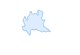
Stelvio Historical Trek: Le Buse and Fortini Alti Crossing
Úroveň obtížnosti: T2
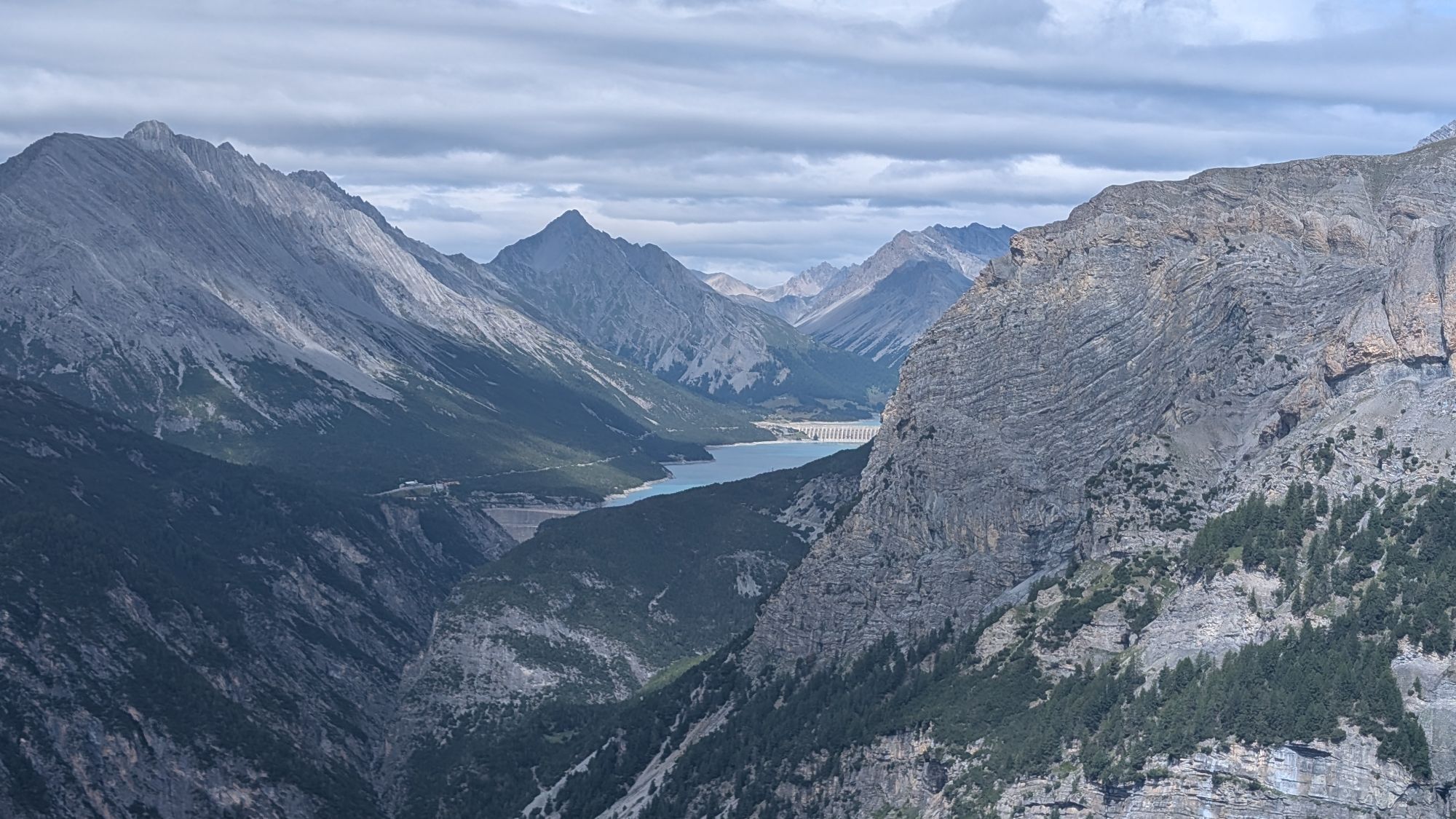
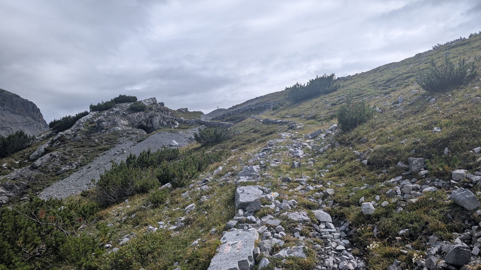
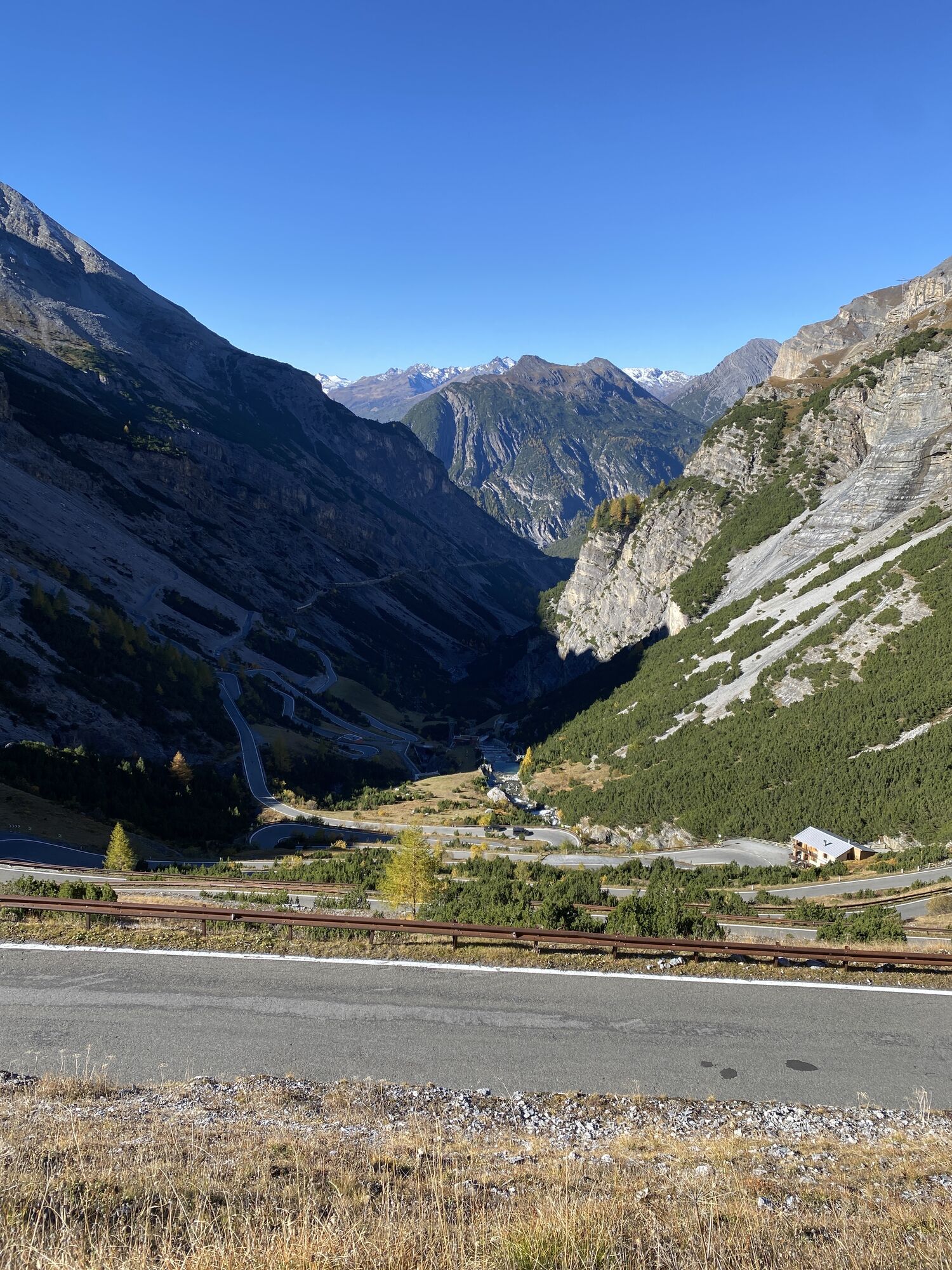
This spectacular traverse, nestled within the Stelvio National Park, connects the II Cantoniera (the 17th hairpin bend on State Road 38) with the I Cantoniera (the 29th hairpin bend), following a route...
From the II Cantoniera parking lot, head back to the nearby hairpin bend on the state highway and take the trail that climbs up the picturesque Valle dei Vitelli. After crossing a wooden bridge over the stream and passing a few short, steeper sections, the trail climbs at a steady gradient until it reaches the Le Buse military complex, one of the most important defensive systems in the Stelvio sector. Here, trenches, artillery positions, shelters, and the military village—recently restored by the Stelvio National Park—are still visible.
From Le Buse, the trail continues along a picturesque traverse halfway up the hillside, alternating between short ascents and descents. The final section features some tricky stretches with unstable ground and small landslide-prone crossings, requiring sure footing and caution.
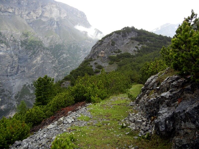
Once you reach the Fortini Alti ridge, the trail changes completely: you follow a splendid military mule track—still perfectly preserved—that descends at a steady gradient through a picturesque mountain pine forest to the 29th hairpin bend of the Stelvio Road, near the I Cantoniera.
The hike offers continuous panoramic views of the Stelvio Pass and the surrounding peaks. The area is particularly rich in wildlife: marmots and chamois are frequently spotted, and with a bit of luck, you may also see ibex and the bearded vulture, which is found in the park.
Since this is a through hike rather than a loop trail, you’ll need to arrange for two cars or use public transportation for the return trip.
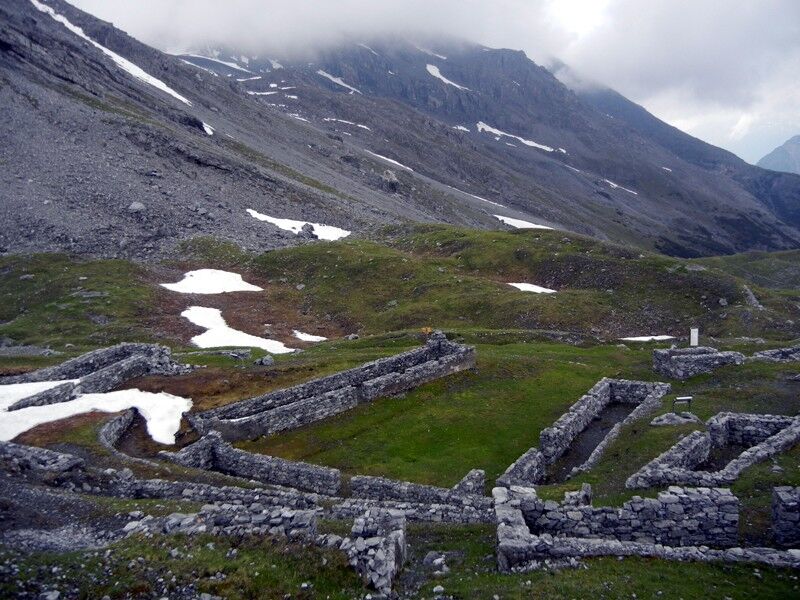
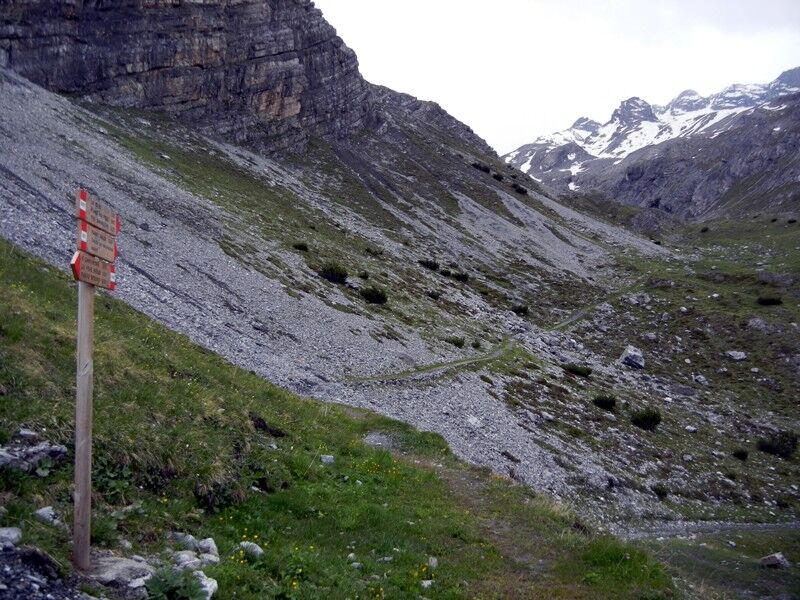

Hike up the valley floor, crossing a wooden bridge over the stream, and continue along the trail, which—with a steady gradient and a few short steeper sections—leads to the Le Buse military complex, passing by trenches and emplacements carved into the rock.
From the military village, continue following the signs for Fortini Alti. The trail runs along the hillside with some ups and downs and crosses a few short sections of unstable terrain prone to small landslides, where extra caution is required.
Once you reach the Fortini Alti ridge, take the historic military mule trail that descends gently through a forest of mountain pines. Continuing along the main mule track, you’ll reach the 29th hairpin turn of the Stelvio Road, near the I Cantoniera, which marks the end of the route.
Telescopic hiking poles (especially recommended for descents).
Layered clothing suitable for high altitudes.
Waterproof and windproof jacket.
Water (there are no places to refill along the route).
Hat, sunglasses, and sunscreen.
GPS map or downloaded GPX track, given the limited cell phone coverage.
First aid kit.
to
unstable terrain and small landslides.Do not attempt this route if there is snow, ice, or inclement weather.
Exercise caution in exposed areas and always stay on the marked trail.
Check trail conditions before setting out.
In foggy conditions, navigation may be more difficult.
T2
Valle dei Vitelli
Le Buse Military Village
Trenches and Outposts from World War I
Alti Fortifications
Stelvio Military Mule Trail
Panoramic View of the Stelvio Pass
Sightings of marmots, chamois, ibex, and bearded vultures
Recommended Period
From late June to late September, when the trail is normally free of snow. Avoid the route if there is remaining snow, ice, or adverse weather conditions.
Practical Information
Type: traverse (not a loop)
Starting point: II Cantoniera – 17th hairpin bend on the SS38 Stelvio Highway
End: I Cantoniera - 29th hairpin bend on the SS38 Stelvio
Points of interest: historical, natural, and scenic
Cell phone coverage: poor or nonexistent in several sections
The route can be hiked in either direction; for less experienced hikers, it is advisable to start at the II Cantoniera and end at the I Cantoniera, taking advantage of the predominantly downhill section in the second half.
Pay special attention to the short, exposed sections prone to landslides between Le Buse and Fortini Alti.
Avoid this hike if there is remaining snow, rain, or wet ground.
GSM cell phone coverage is limited or nonexistent at various points along the route.
As this is a protected area within the Stelvio National Park, it is important to respect the wildlife, flora, and historical structures.
Webové kamery z prohlídky
-
Passo Stelvio
-
Passo Stelvio
-
Passo Stelvio
-
Passo Stelvio
-
Passo Stelvio
-
Passo Stelvio
-
Passo Stelvio
-
Passo Stelvio
-
Passo Stelvio
-
Passo Stelvio
-
Passo Stelvio
-
Piste Stelvio
-
Stilfser Joch - Tibet Hütte
-
Bormio Terme
-
Bormio Terme
-
Piazza Kuerc
-
Piazza Kuerc
-
Piazza Kuerc
-
Piazza Kuerc
-
Uzza - Valfurva
-
Teleir - Oga
-
Teleir - Oga
Získejte přehled
Vždy živě na místě s více než 9 500 webkamerami. bergfex Jako uživatel Pro si nyní můžete zobrazit odpovídající webové kamery pro mnoho prohlídek v aplikaci prohlídky z. Můžete si tak přímo prohlédnout aktuální podmínky.
Oblíbené prohlídky v okolí
-
3.7
Payerhütte 3020m
Turistika 6.98 km -
5.0
Wanderung/Aufstieg zur Payerhütte
světloTuristika 15.9 km -
4.3
Sonnenaufgang auf der Rötelspitze im Nationalpark Stilfserjoch
Turistika 2.02 km -
3.4
Sta.Maria, Prà da Vau - Lai da Rims - Alp Sot - Prà da Vau
heavyTuristika 14.7 km -
4.3
Ortler – Normalweg
heavyVysokohorská turistika 7.30 km -
3.3
Watervallen wandeling
světloTuristika 4.95 km -
Ortler über Meraner Weg (vom Tal/Trafoi)
heavyVysokohorská turistika 11.9 km -
4.8
Wanderung: Heilige drei Brunnen zur Berglhütte
světloTuristika 5.51 km -
5.0
Ortler über Hintergrat
heavyVysokohorská turistika 8.03 km -
1.0
Tabarettahütte 2555m zur Payerhütte 3020m
Turistika 3.82 km
Pěší turistika a stopování


Nenechte si ujít nabídky a inspiraci pro vaši příští dovolenou
Vaše e-mailová adresa byl přidán do poštovního seznamu.





