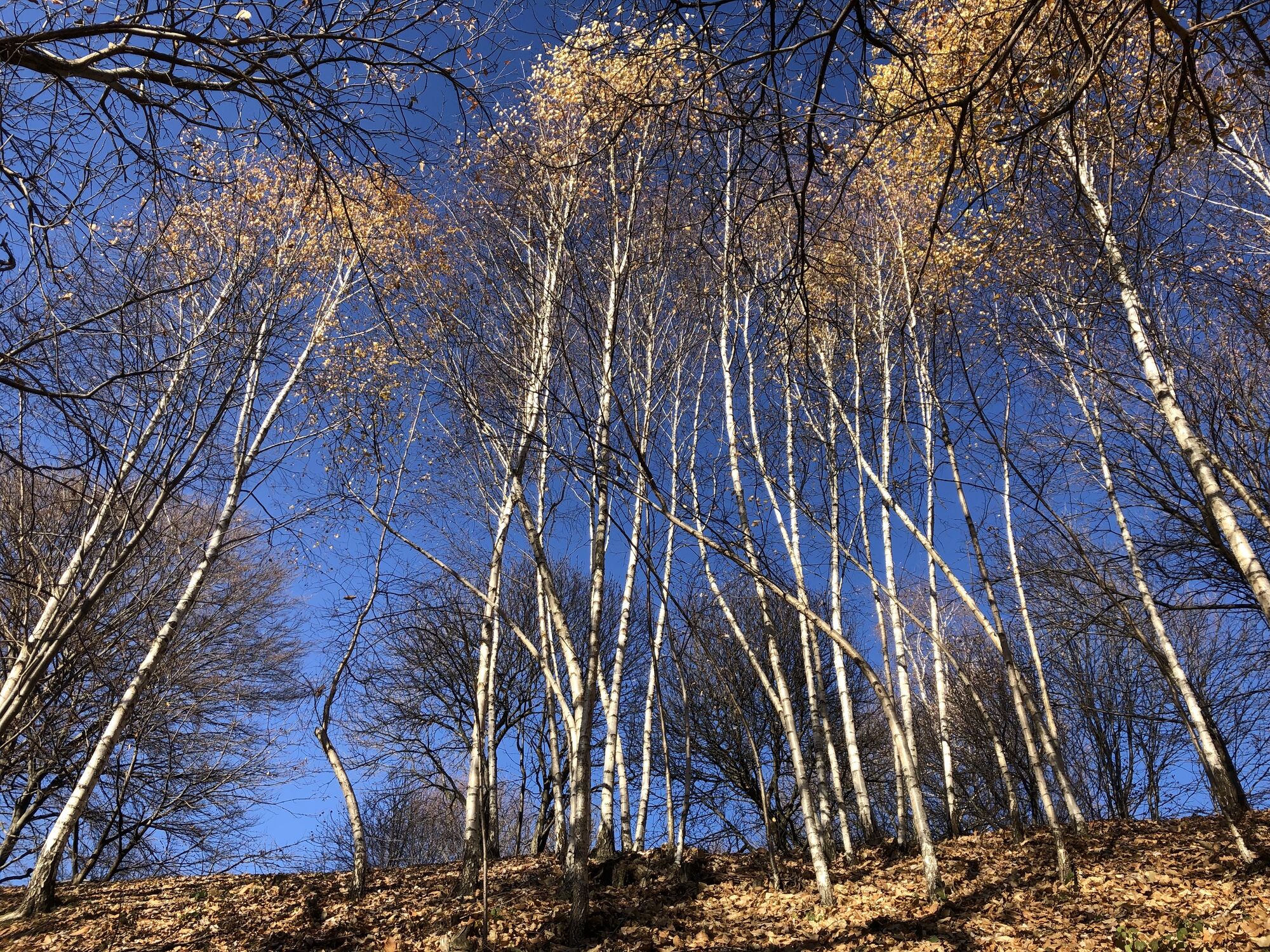
Gavarno-Tribulina - Monte Bastia - Monte Misma - Santa Maria di Misma
heavy
Pořiďte si tuto prohlídku do mobilního telefonu
Gavarno-Tribulina - Monte Bastia - Monte Misma - Santa Maria di Misma
heavy
Turistika
17.08
km
Naskenujte QR kód a spusťte navigaci v aplikaci bergfex.

Pěší turistika a stopování


Gavarno-Tribulina - Monte Bastia - Monte Misma - Santa Maria di Misma
heavy
Vzdálenost
17.08
km
Doba trvání
05:26
h
Ascent
1039
hm
Hladina moře
331 -
1157
m
Stažení skladby
Gavarno-Tribulina - Monte Bastia - Monte Misma - Santa Maria di Misma
heavy
Turistika
17.08
km
Trasa
Gavarno-Tribulina
(347 m)
Vesnice
0.2 km
Costa del Gavarno
(482 m)
Vypořádání
1.9 km
Monte Bastia
(810 m)
Summit
5.1 km
Cappella Maria Auxilium Christianorum
(811 m)
Místo konání bohoslužeb
5.2 km
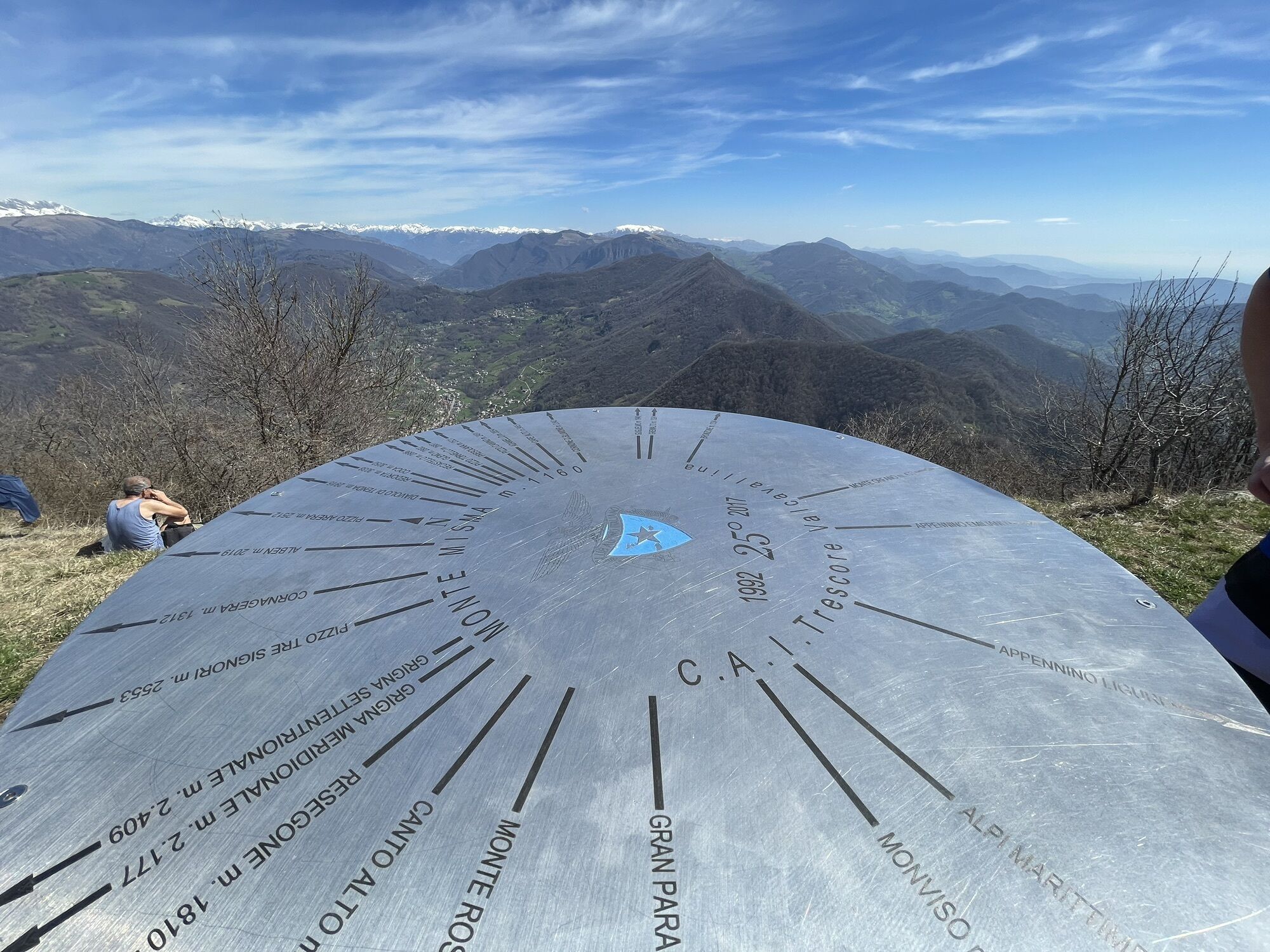
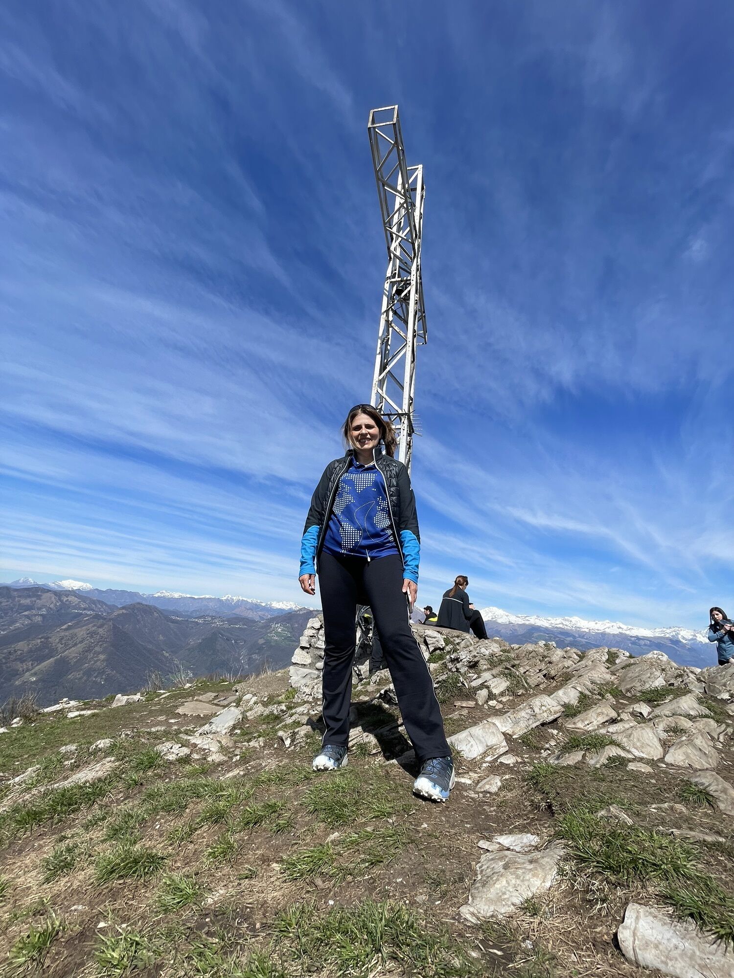
Monte Misma
(1161 m)
Summit
7.3 km
Monte Bastia
(810 m)
Summit
10.7 km
Gavarno-Tribulina
(347 m)
Vesnice
16.9 km
Trasa
Gavarno-Tribulina - Monte Bastia - Monte Misma - Santa Maria di Misma
heavy
Turistika
17.08
km
Gavarno-Tribulina
(347 m)
Vesnice
0.2 km
Castello del Gavarno
(371 m)
Restaurace
0.7 km
Costa del Gavarno
(482 m)
Vypořádání
1.9 km
Pradale
(680 m)
Koridor/terén
4.3 km
Monte Bastia
(810 m)
Summit
5.1 km
Cappella Maria Auxilium Christianorum
(811 m)
Místo konání bohoslužeb
5.2 km
Monte Misma
(1161 m)
Summit
7.3 km
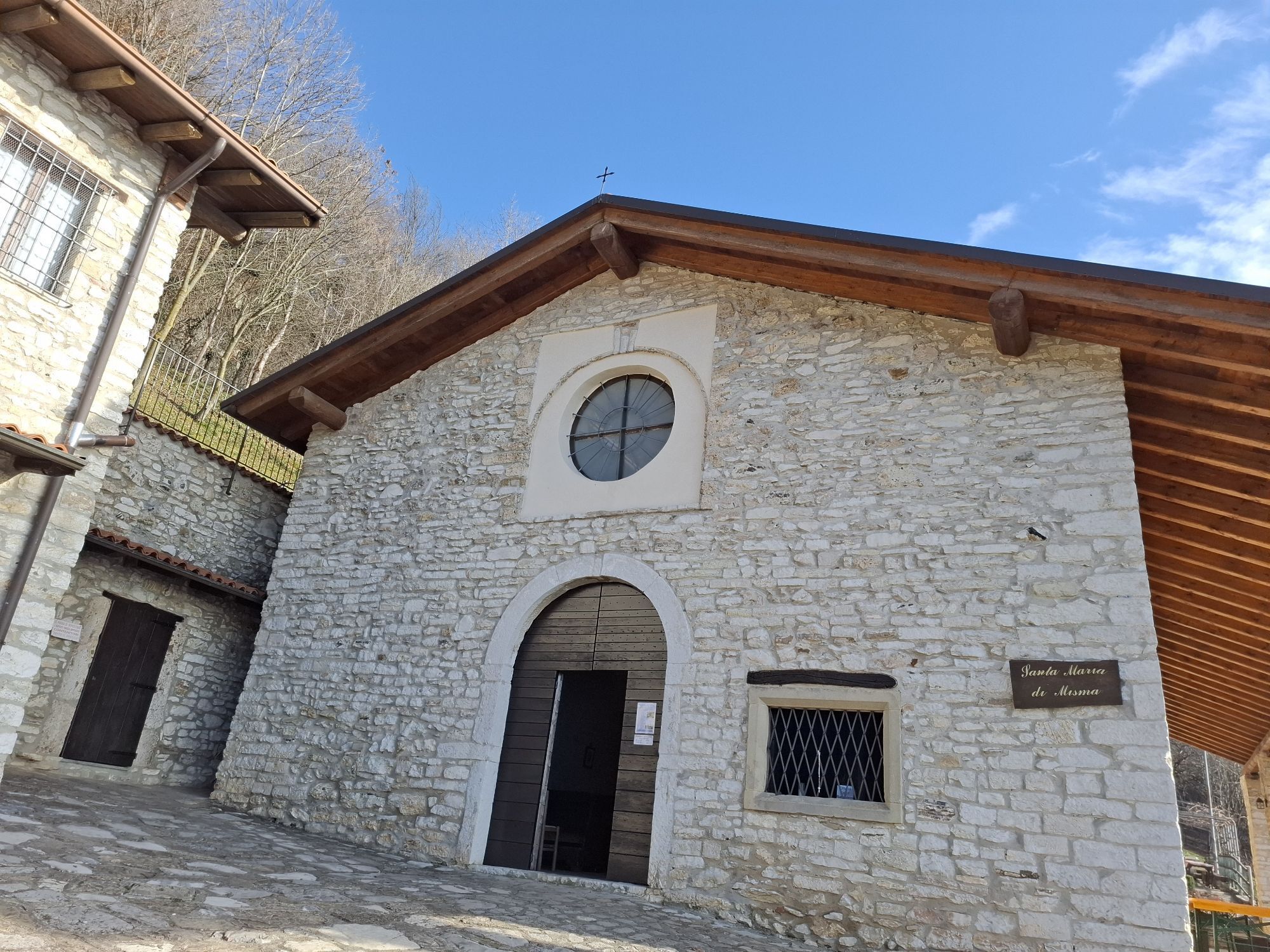
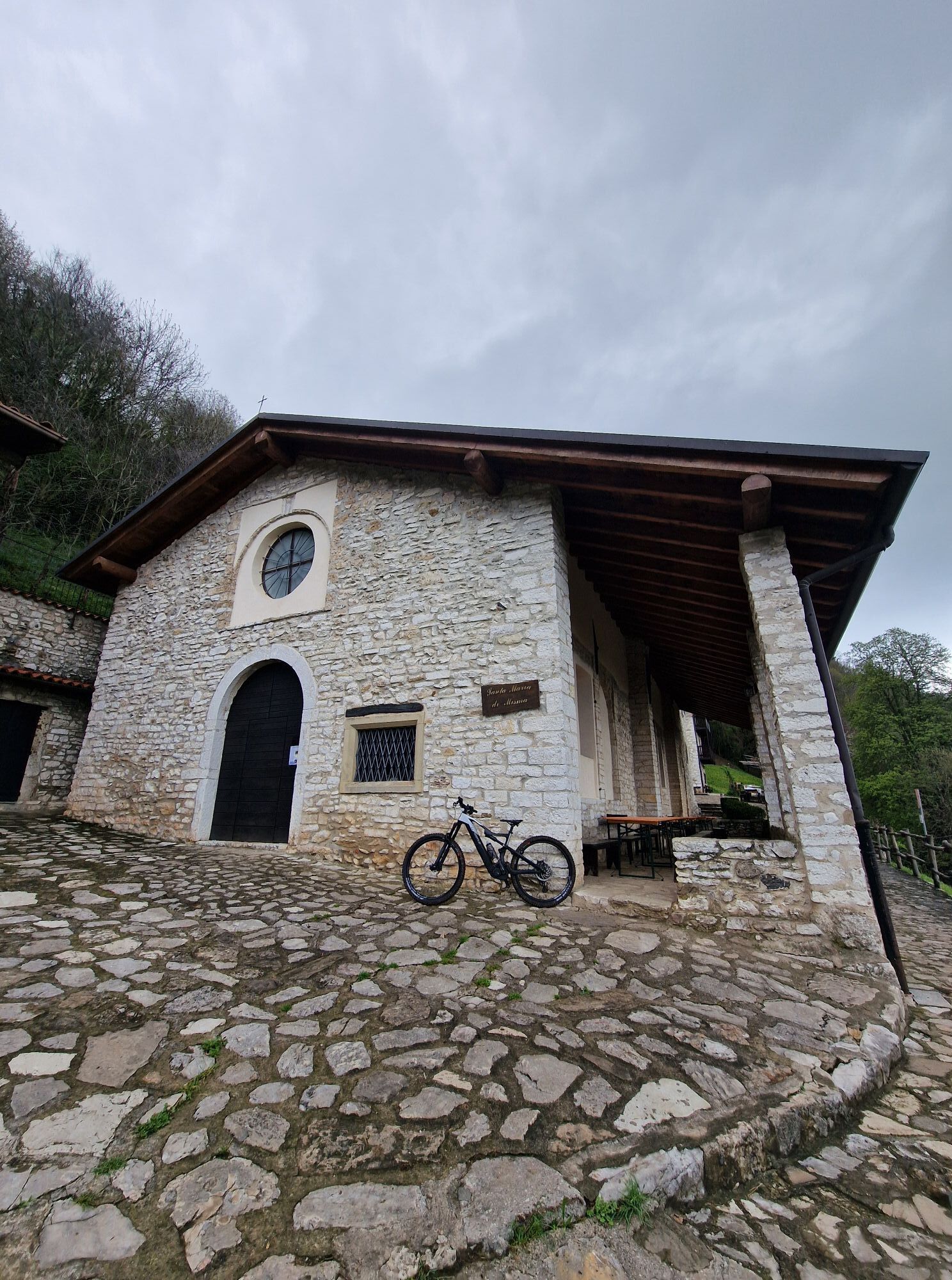
Santa Maria di Misma
(822 m)
Místo konání bohoslužeb
8.7 km
Cappella Maria Auxilium Christianorum
(811 m)
Místo konání bohoslužeb
10.7 km
Monte Bastia
(810 m)
Summit
10.7 km
Pradale
(680 m)
Koridor/terén
11.5 km
Val di Coler
(634 m)
Koridor/terén
13.9 km
Costa del Gavarno
(482 m)
Vypořádání
15.1 km
Castello del Gavarno
(371 m)
Restaurace
16.3 km
Gavarno-Tribulina
(347 m)
Vesnice
16.9 km
Zatím žádné recenze
Oblíbené prohlídky v okolí
-
4.0
Endine Gaiano, Lombardia/Italia
Turistika 17.2 km -
Sedrina (Bg)-Strada Taverna: Ponti, chiesina S. Gaetano, Maroncella, Colle, Zogno.
světloTuristika 8.33 km -
Canto Alto
světloTuristika 3.70 km -
Vertova Bivacco Testa Cima Segredont
Horská turistika 16.5 km -
Pizzo Rabbioso da Santa Croce
Horská turistika 2.15 km -
Colognola - Monte Ballerino - Monte Foppa - Il Colletto
heavyTuristika 18.4 km -
5.0
Aviatico - La Forcella - Monte Suchello - Passo Barbata
středníTuristika 10.6 km -
Sarnico - Il Colletto - Cima Campidelli - Colle Martinazzo
středníMountainbike 49.5 km -
4.0
Lerano - La Rolla - Monte Bronzone - Rifugio Gombo Alto
středníTuristika 9.97 km -
Città Alta - Monte della Croce - Monte Cognolo - Chiesa di San Zeno al Foro
středníPoutní stezka 129.6 km

Pěší turistika a stopování

Více než 550.000 návrhů výletů, podrobné mapy a intuitivní plánovač tras dělají z aplikace nezbytnou výbavu pro všechny milovníky přírody.

Nenechte si ujít nabídky a inspiraci pro vaši příští dovolenou
Přihlaste se k odběru newsletteru
Chyba
Došlo k chybě. Zkuste to prosím znovu.
Děkujeme za vaši registraci
Vaše e-mailová adresa byl přidán do poštovního seznamu.
Zájezdy po celé Evropě
Rakousko
Švýcarsko
Německo
Itálie
Slovenia
Francie
Nizozemsko
Belgie
Polsko
Lichtenštejnsko
Česko
Slovensko
Španělsko
Chorvatsko
Bosna a Hercegovina
Lucembursko
Andorra
Portugal
Iceland
United Kingdom
Ireland
Greece
Albania
North Macedonia
Malta
Norway
Montenegro
Moldova
Kosovo
Hungary
San Marino
Romania
Estonia
Latvia
Belarus
Cyprus
Lithuania
Serbia
Bulgaria
Monaco
Denmark
Sweden
Finland