



Plaghera

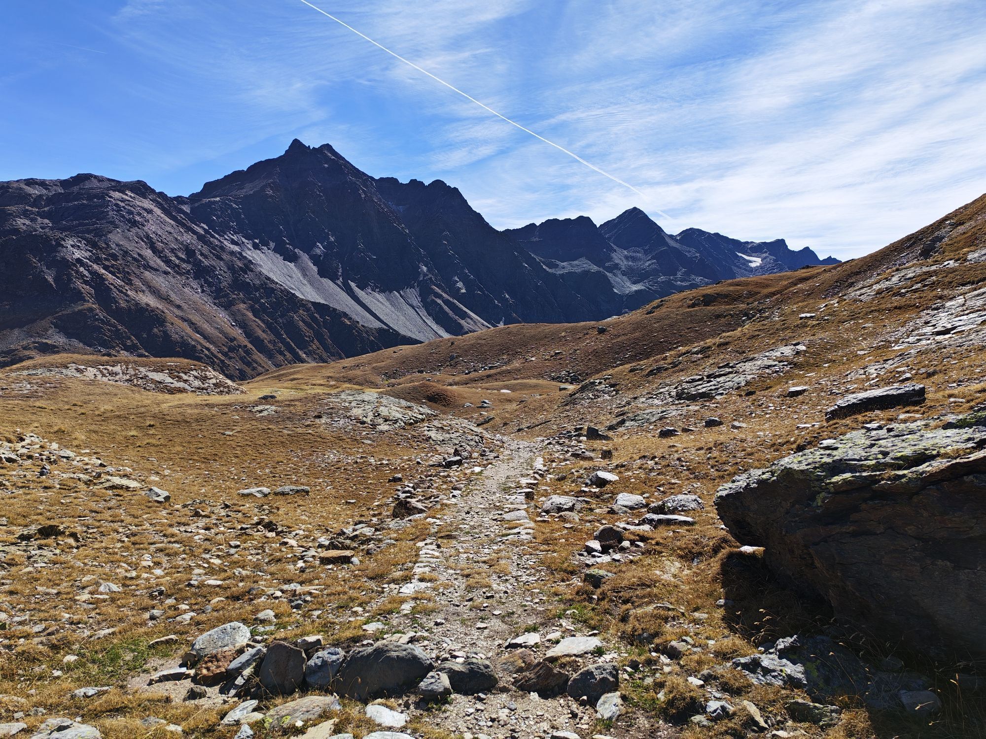

From the village of Vedig to Santa Caterina Valfurva, take the path S522, cross the Rio di Sclanera and the Cornogna forest until you reach the junction with path S522.2 which leads to the huts of Sclanera....
From the village of Vedig to Santa Caterina Valfurva, take the path S522, cross the Rio di Sclanera and the Cornogna forest until you reach the junction with path S522.2 which leads to the huts of Sclanera. Here you encounter another junction, keep left and climb along path S523. You pass through the Plaghera forest and the Santa Caterina ski area, along a fairly flat route, until you reach the Paradiso Refreshment Point. Continue and reach the intersection with the road leading to Passo Gavia. At the hairpin bend follow the path that leads to the Sella and then to the locality Ciogna in Santa Caterina.


Forni - Baite dei Forni - Ables - Monich - Bacero - Li Nanza - Santa Caterina
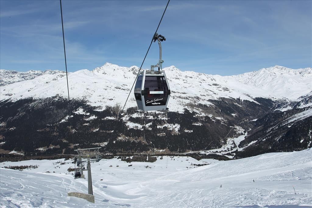
Ski area Santa Caterina is characterized by 35 km of slopes that intersect between the 1738 m village and the 2800 m slopes of Monte Sobretta, and has 10 ski lifts. The particularly favorable climate and an advanced snowmaking system guarantee perfectly snow-covered slopes from late November until April.
Webové kamery z prohlídky

Oblíbené prohlídky v okolí
-
3.9
Von Sulden zur Hinteren Schöntaufspitze
středníTuristika 12.7 km -
3.7
Payerhütte 3020m
Turistika 6.98 km -
4.4
Sonnenaufgang auf der Rötelspitze im Nationalpark Stilfserjoch
Turistika 2.02 km -
5.0
Wanderung/Aufstieg zur Payerhütte
světloTuristika 15.9 km -
5.0
Ortler über Meraner Weg (vom Tal/Trafoi)
heavyVysokohorská turistika 11.9 km -
4.5
Ortler – Normalweg
heavyVysokohorská turistika 7.30 km -
5.0
Ortler über Hintergrat
heavyVysokohorská turistika 8.03 km -
3.5
Watervallen wandeling
světloTuristika 4.95 km -
4.8
Wanderung: Heilige drei Brunnen zur Berglhütte
světloTuristika 5.51 km -
4.7
Suldenspitze
světloVysokohorská turistika 7.69 km
Pěší turistika a stopování


Nenechte si ujít nabídky a inspiraci pro vaši příští dovolenou
Vaše e-mailová adresa byl přidán do poštovního seznamu.


