


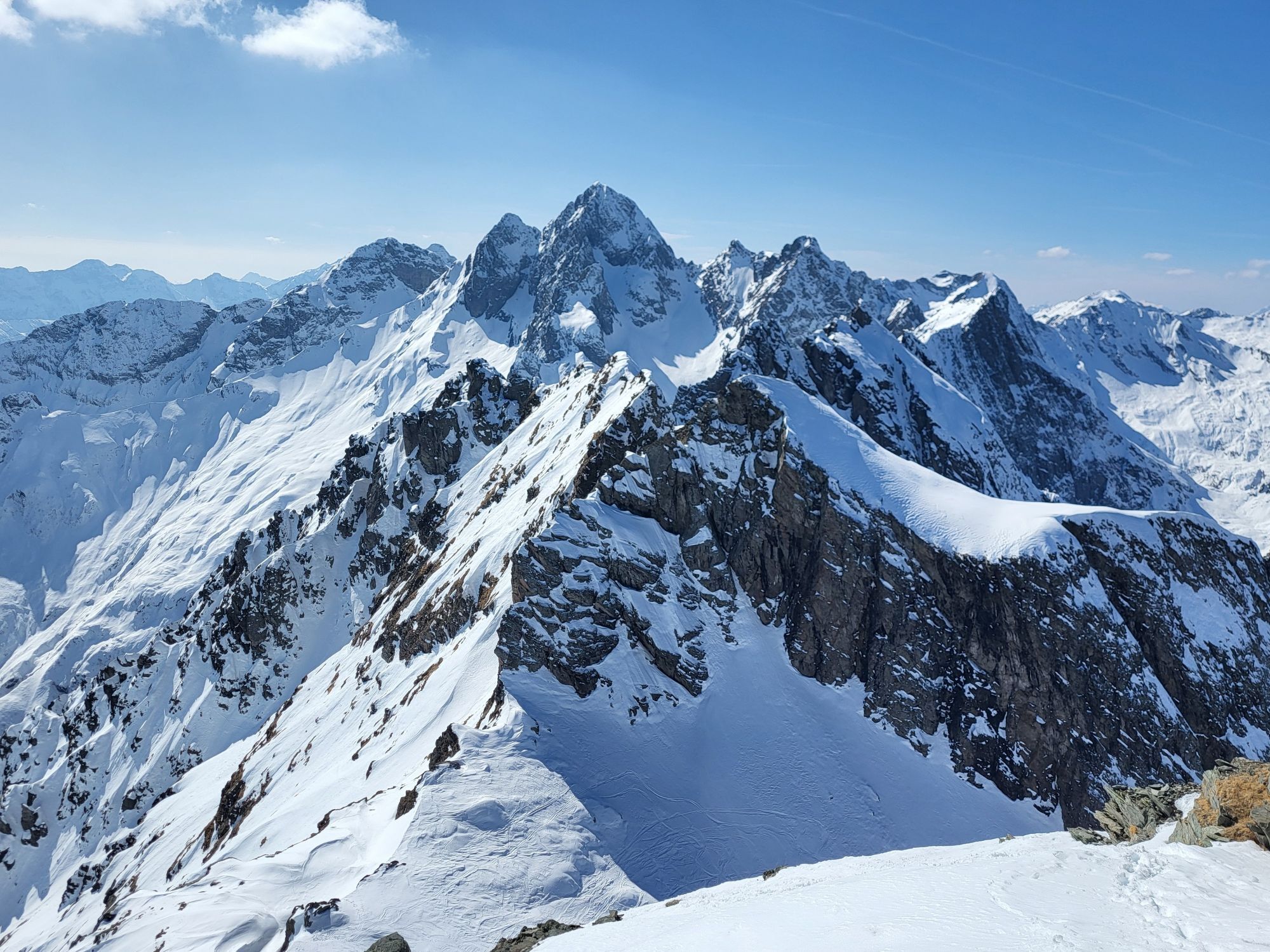
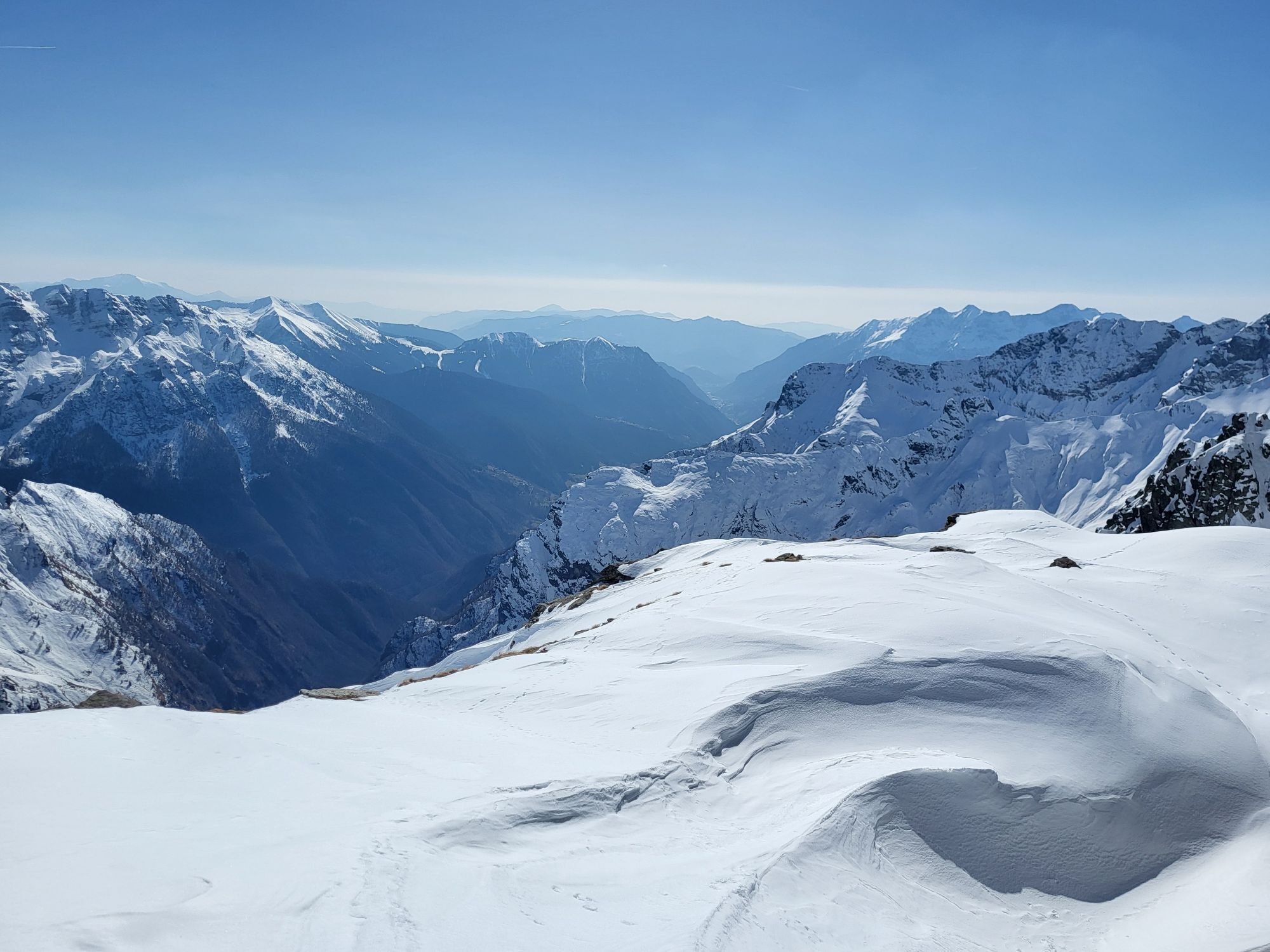
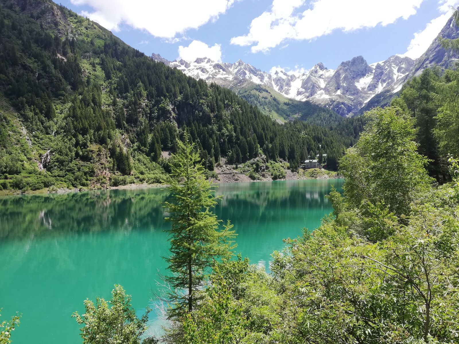
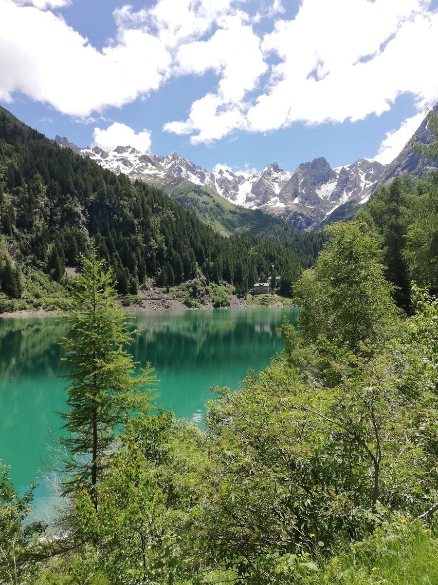
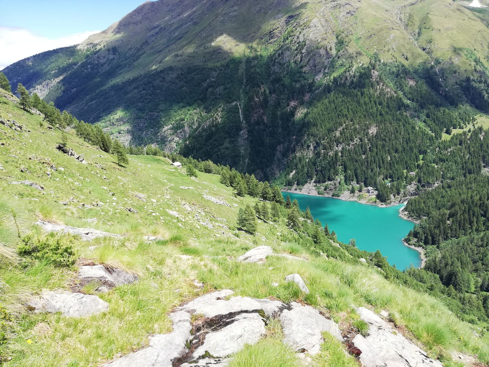
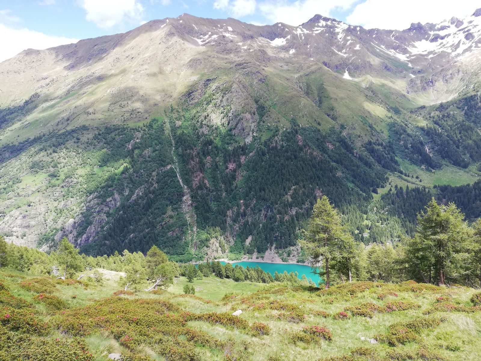
The route around Lake Scais
Úroveň obtížnosti: T1
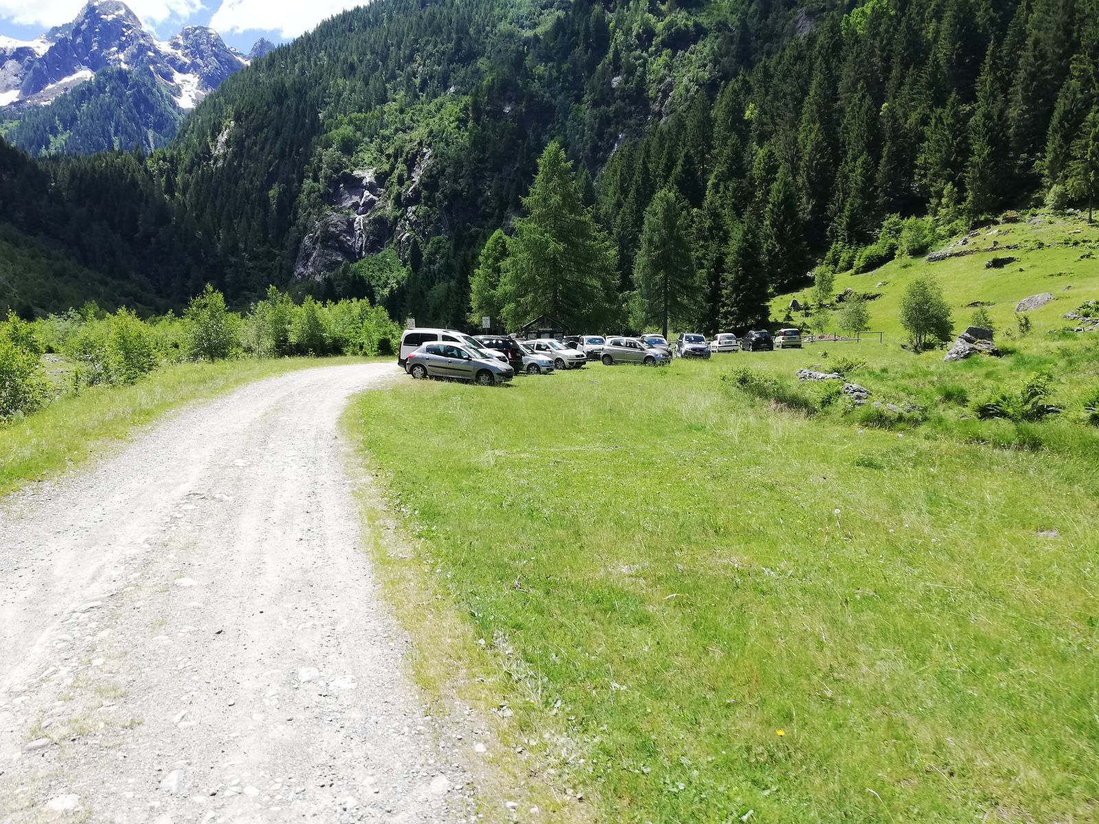
Family-friendly walk. Park the car in the rest area just after the Agneda alpine pasture. Climb along the winding road that leads to the foot of the dam wall. You can go up on either the right or left...
Family-friendly walk. Park the car in the rest area just after the Agneda alpine pasture. Climb along the winding road that leads to the foot of the dam wall. You can go up on either the right or left side and complete the route around the lake. Pleasant and relaxing walk, also suitable for summer picnics. For the more fit, you can continue towards Caronno and the Mambretti Refuge in the Caronno valley, or towards the alpine pasture and Lake Zocco along the Vedello Valley
Ano
yes, Agneda plain
T1
Oblíbené prohlídky v okolí
- 4,5
Rifugio Curo’ e lago del Barbellino - lago naturale del Barbellino - lago Gelt
heavyTuristika 26,4 km - 4,4
Ristoro cinque laghi - Monte Cabianca - Monte Val Rossa - Monte dei Frati
heavyTuristika 20,4 km - 4,0
Valbondione-Curò
středníTuristika 7,02 km - 5,0
Brunone
středníHorská turistika 15,0 km - 5,0
Carona - Rifugio Fratelli Calvi - Portulino - Monte Madonnino
heavyTuristika 25,6 km Stezka Valtellina
středníJízda na kole 113,2 km- 5,0
Fusine-Dordona Pass (MTB-EMTB)
světloMountainbike 20,4 km - 4,0
Rifugio lago nero dai bortolotti di Valgoglio
světloTuristika 4,73 km - 3,0
Cima Meriggio
světloTuristika 11,6 km - 4,2
Il Bivacco - Bivacco Pedrinelli - Passo di Publino - Pizzo Zerna
heavyTuristika 15,9 km
Pěší turistika a stopování


Nenechte si ujít nabídky a inspiraci pro vaši příští dovolenou
Vaše e-mailová adresa byl přidán do poštovního seznamu.