







Tip of Pollore

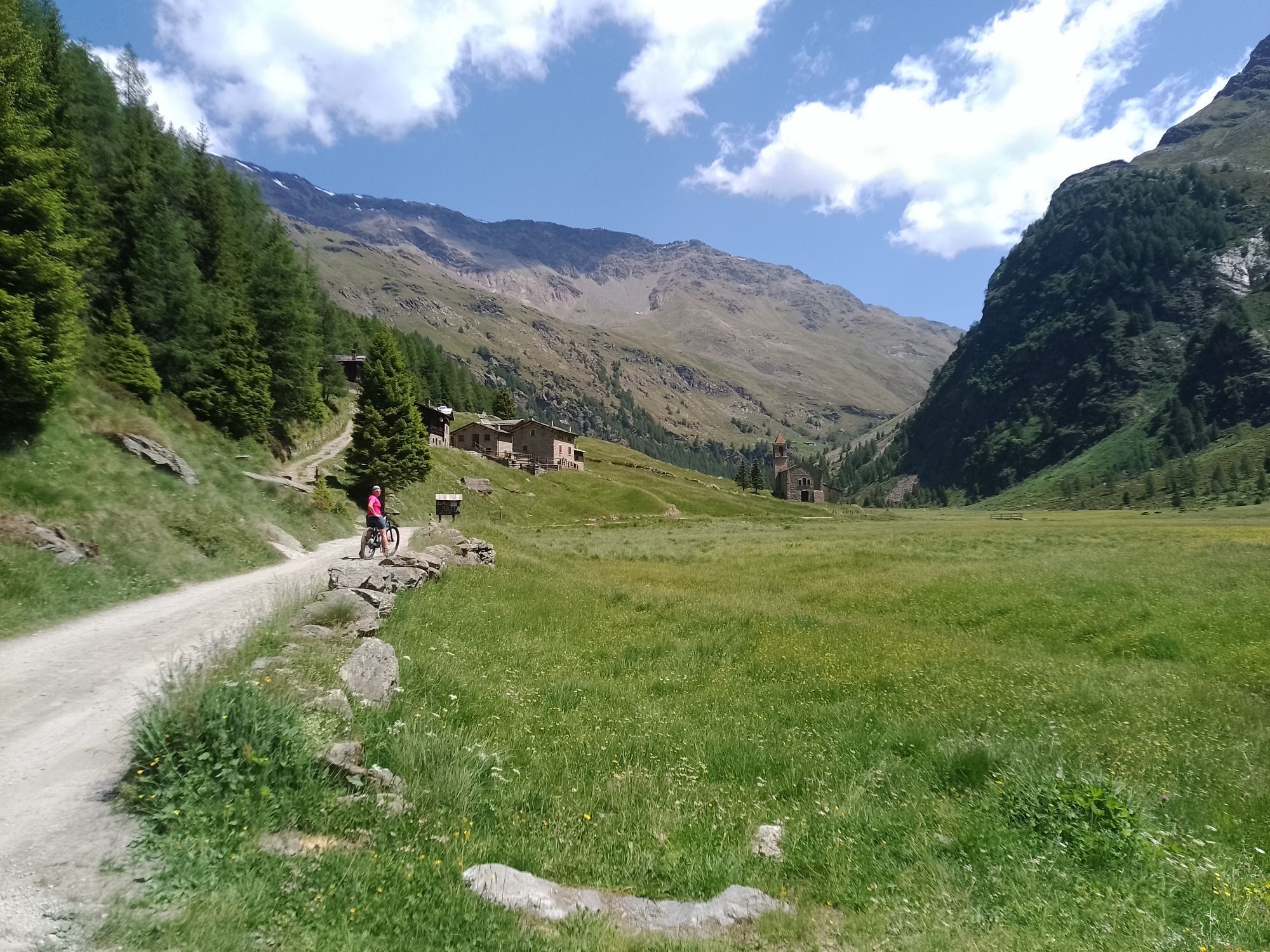
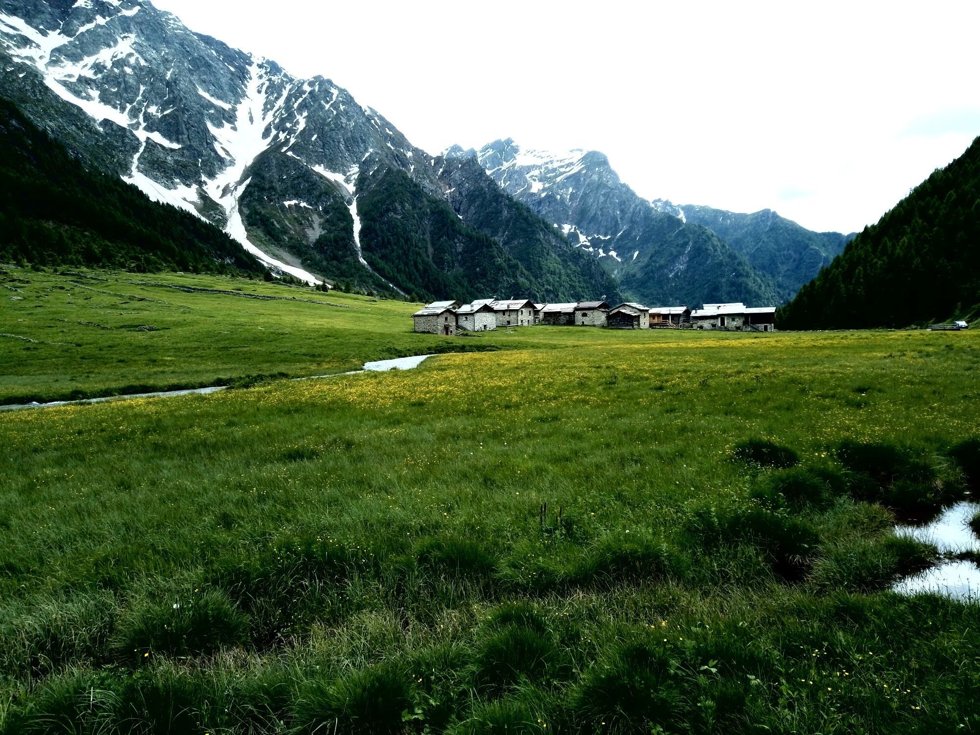
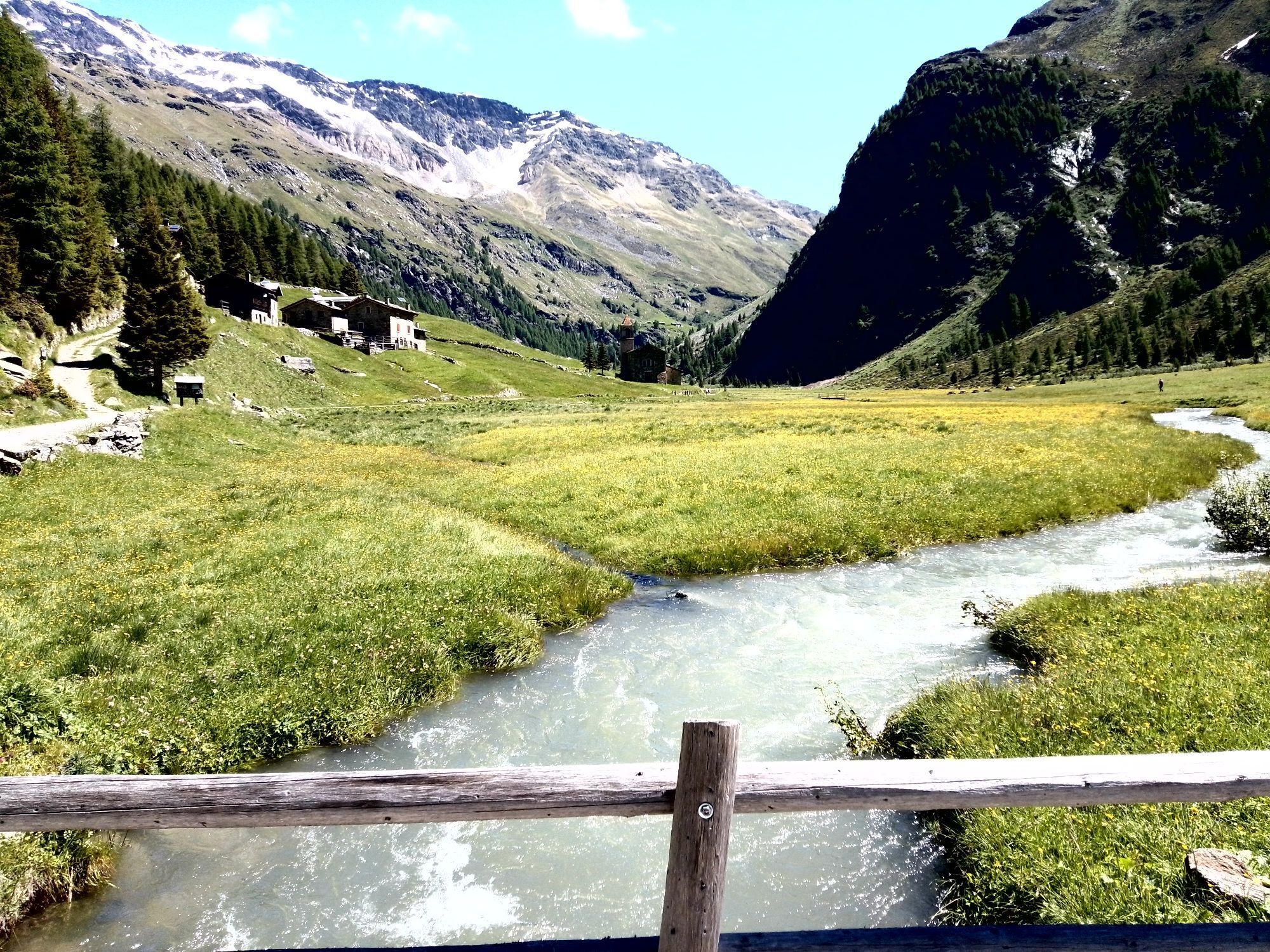
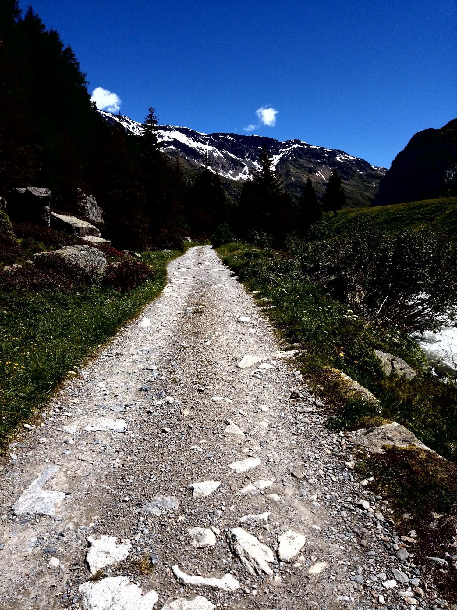
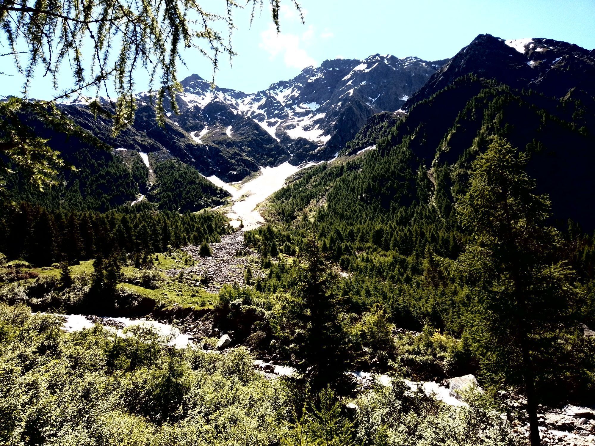
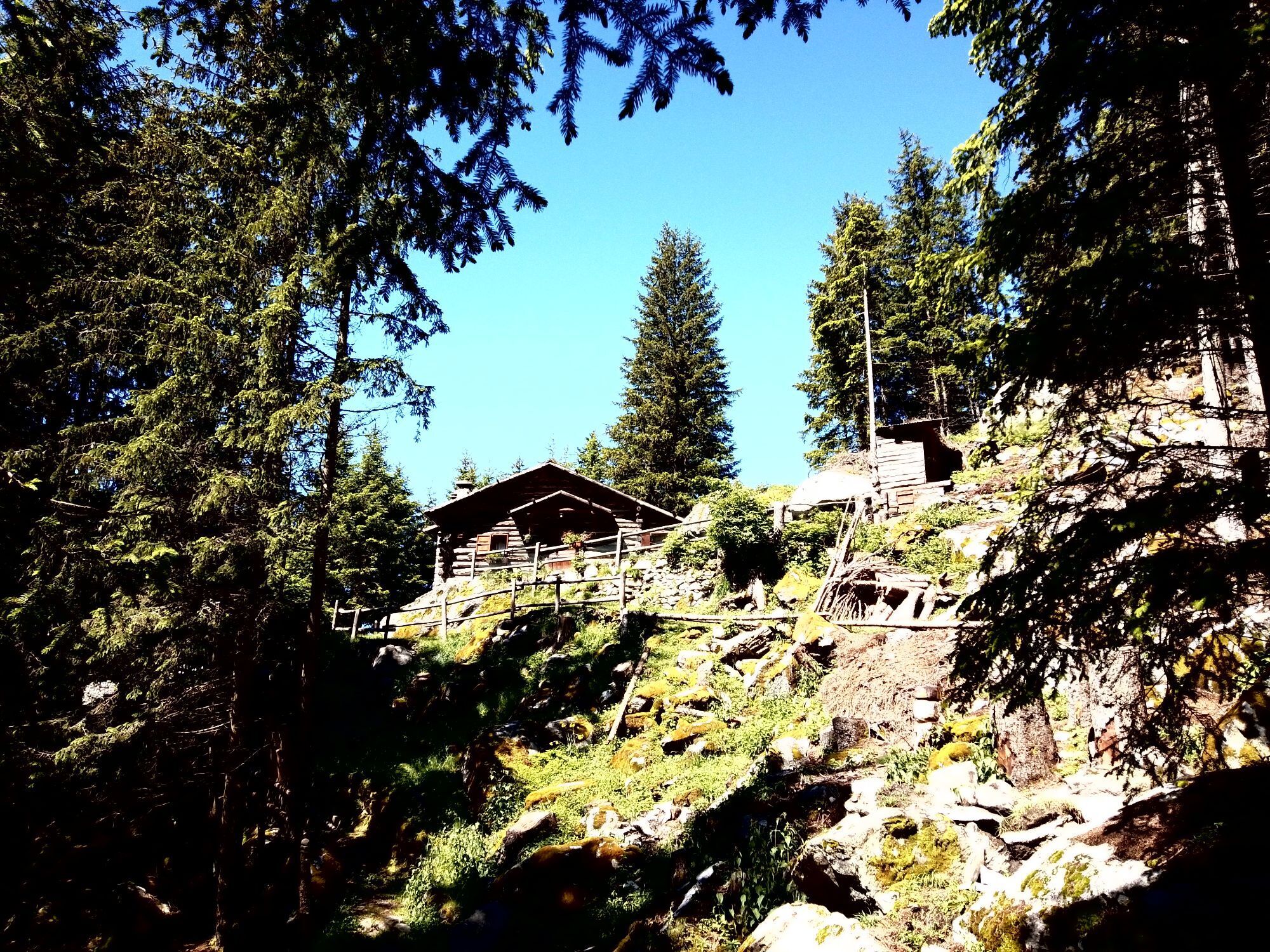
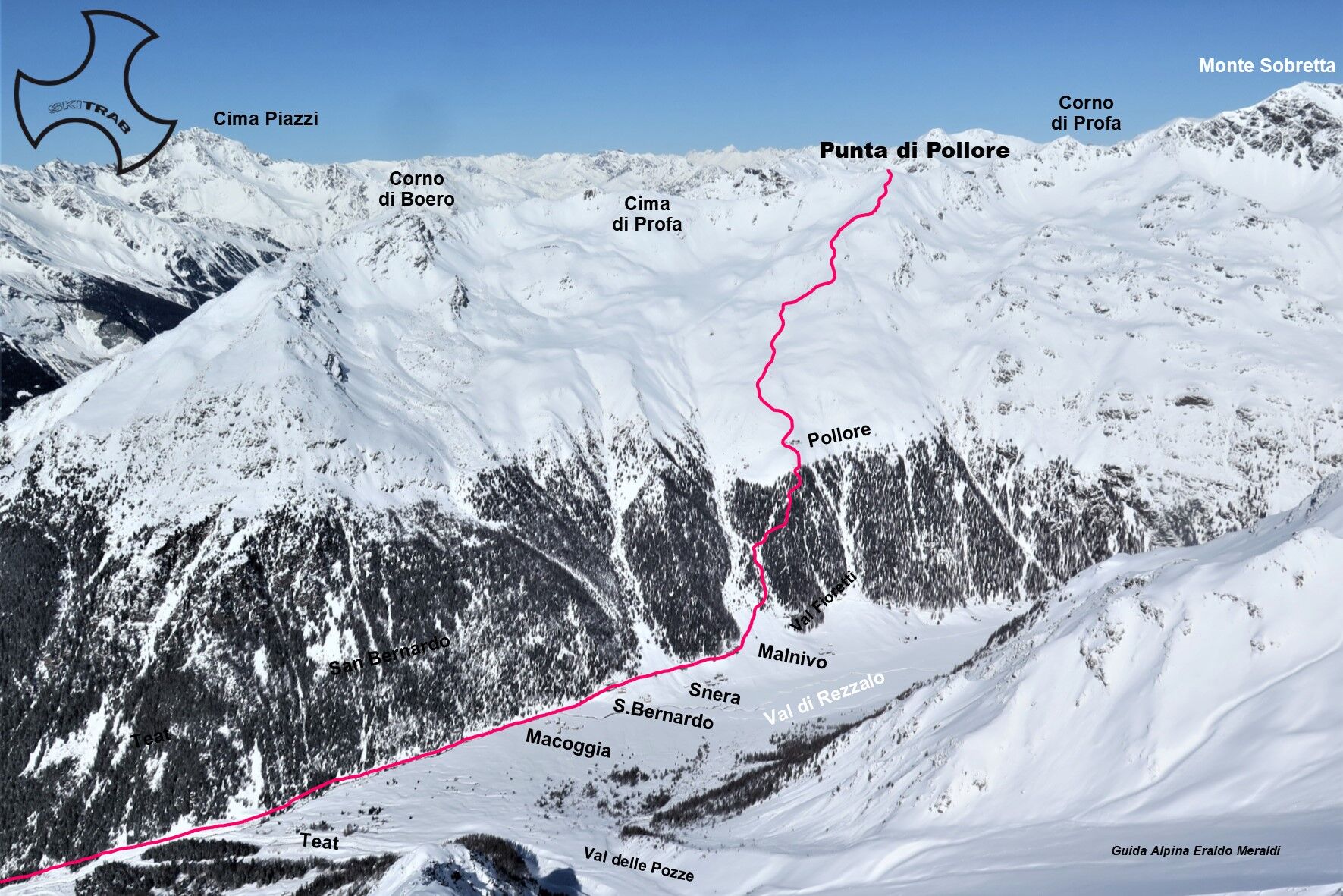
From the parking area in the locality of Fontanaccia, follow, penetrating into the woods, the beautiful little road that gradually climbs with moderate slope to the plain of San Bernardo, where on the...
From the parking area in the locality of Fontanaccia, follow, penetrating into the woods, the beautiful little road that gradually climbs with moderate slope to the plain of San Bernardo, where on the left is the agrotourism La Baita. From here you continue following a small road horizontally to the right thus arriving at the base of an obvious gully. You now begin to climb into the more open area, and when the slope becomes steeper you bear right to a ridge, where the summer trail climbs, and continue on very steep terrain to the Pollore huts. Continue in a northerly direction following a hinted ridge and then gradually bend to the right over a shelf going back to a wide ridge that leads directly to the summit,


Forni, Rifugio Pizzini, Colle delle Pale Rosse.
Self-rescue equipment (ARTVA, shovel and probe). Rampant.
The route description and trail are approximate and should be verified on site depending on the condition of the snowpack present during the hike.
Because this is a hike in a snowy mountain environment at high altitudes subject to continually changing snowpack conditions, it is advisable to have adequate experience in ski mountaineering, knowledge of the area, and up-to-date information on snow conditions.
Accompaniment with a professional guide is recommended.
Ample parking at the start.
The route description and trail are approximate and should be verified on site depending on the condition of the snowpack present during the hike.
Because this is a hike in a snowy mountain environment at high altitudes subject to continually changing snowpack conditions, it is advisable to have adequate experience in ski mountaineering, knowledge of the area, and up-to-date information on snow conditions.
Accompaniment with a professional guide is recommended.

Oblíbené prohlídky v okolí
-
4.0
Ortler Höhenweg
heavyVysokohorská turistika 123.2 km -
3.0
Transalp: St. Anton/ Arlberg nach Riva
heavyMountainbike 277.3 km -
Stelvio Epic Rides: Passo Gavia
heavySilniční kolo 25.8 km -
5.0
Palon de la Mare
středníLyžařská trasa 8.24 km -
5.0
Niblogo/ rifugio V alpini
středníTuristika 13.3 km -
5.0
On the slopes of the Reit to admire Bormio from above
středníTuristika 10.4 km -
4.0
Adamello - Val Grande - Biwak
středníE-MTB 22.8 km -
Punta San Matteo - from the Forni
středníLyžařská trasa 7.44 km -
Mount Zebru'
středníLyžařská trasa 13.3 km -
Val Zebru
středníMountainbike 17.5 km
Pěší turistika a stopování


Nenechte si ujít nabídky a inspiraci pro vaši příští dovolenou
Vaše e-mailová adresa byl přidán do poštovního seznamu.





