






Pejo Peaks

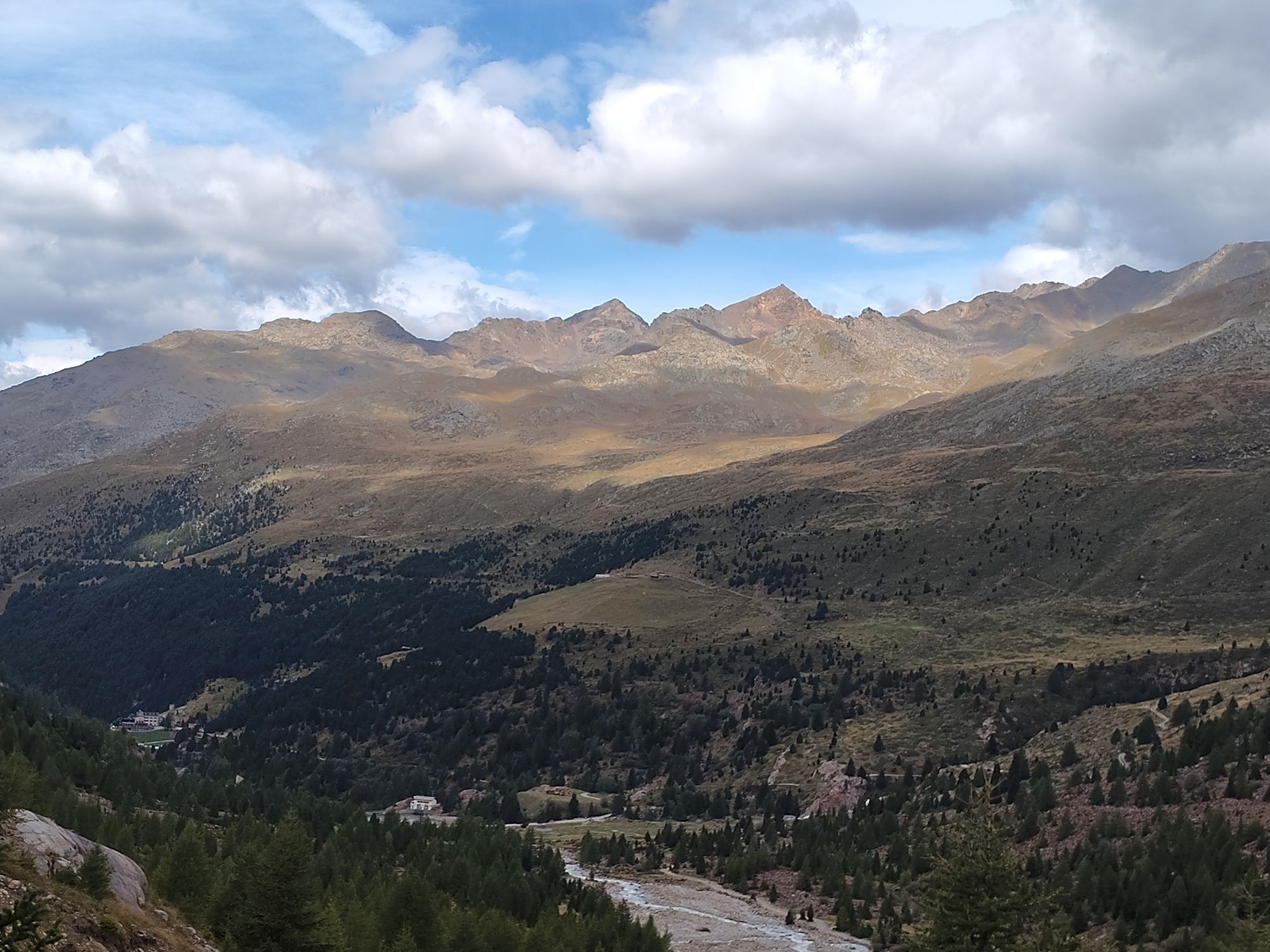
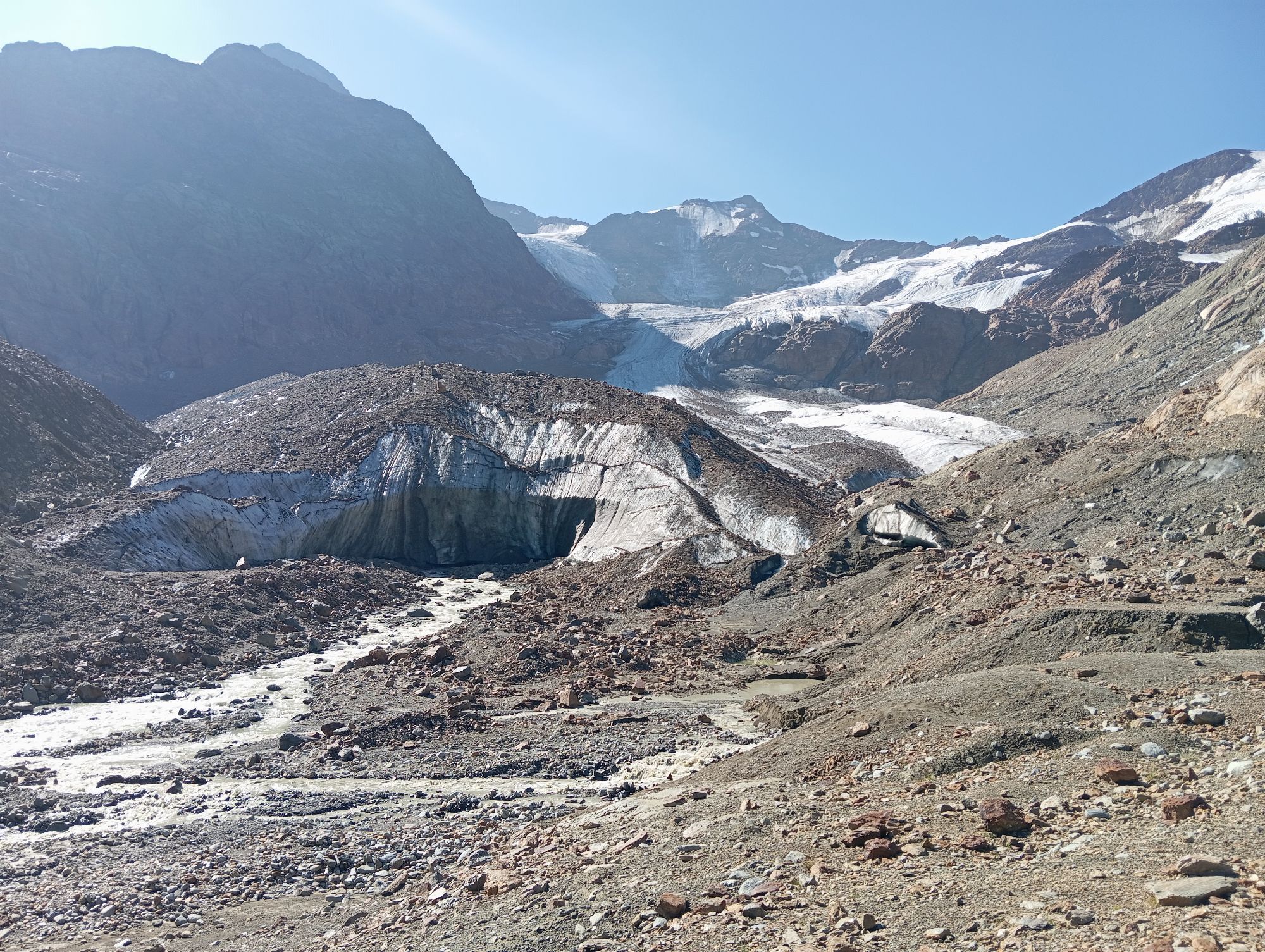
From the Forni, one leads to the vicinity of the small artificial barrage. Following the signs to the right for the Branca refuge, first pass a small bridge over the Cedec stream and then continue along...
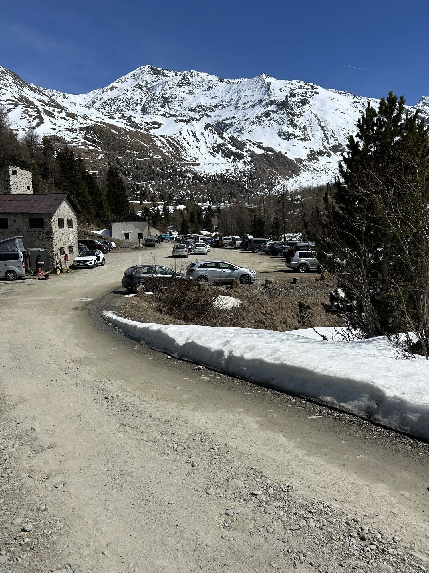
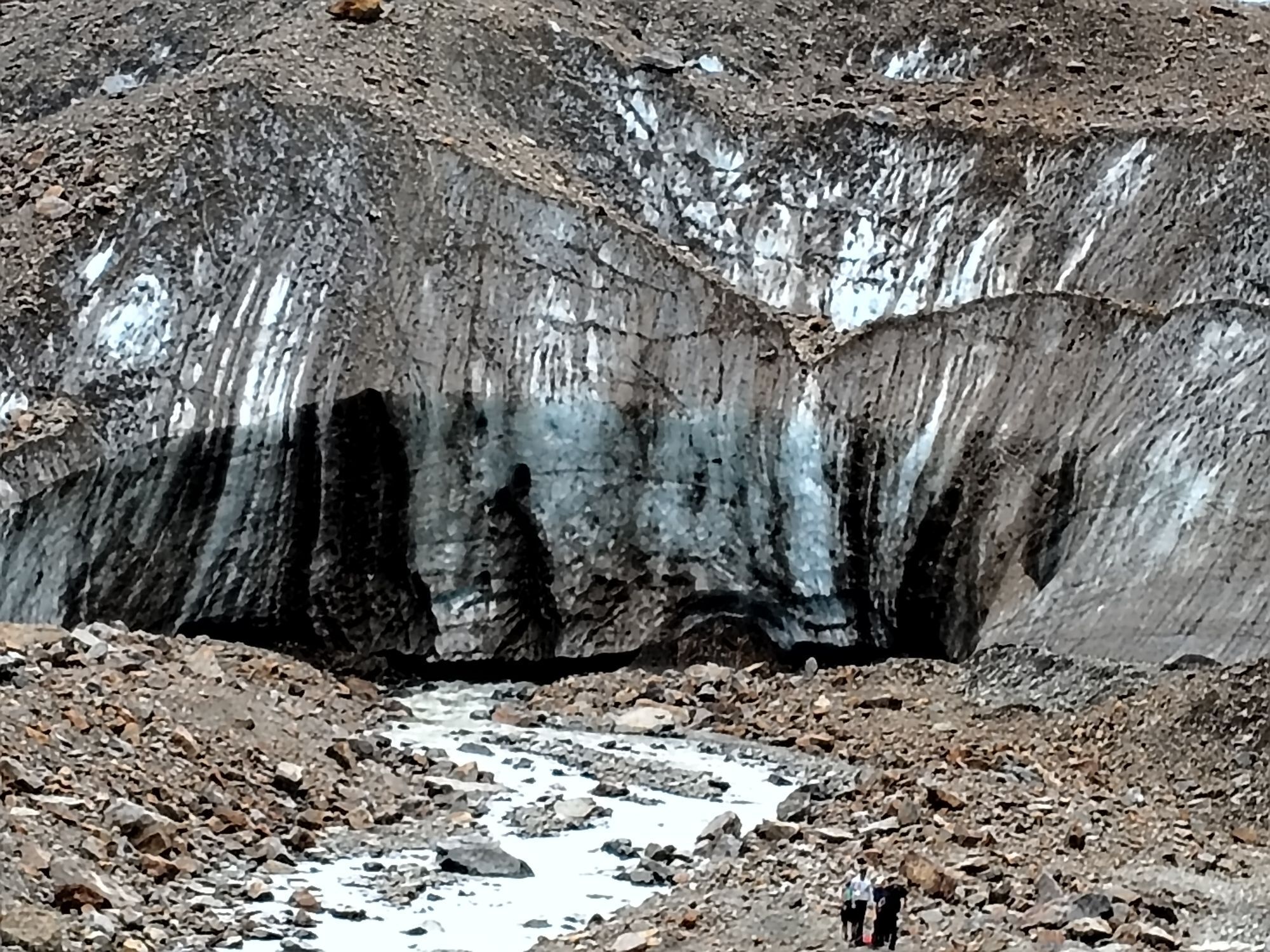
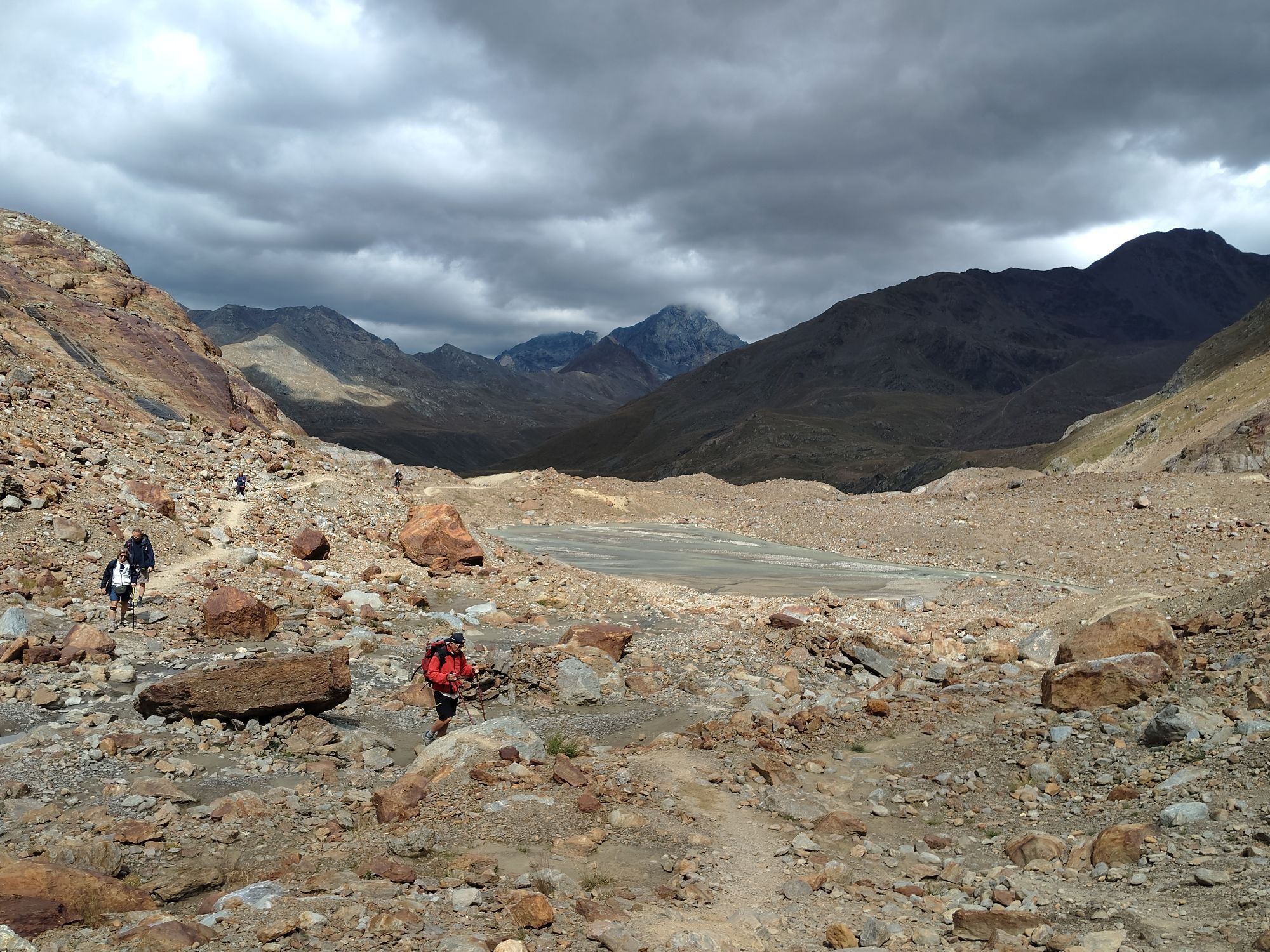
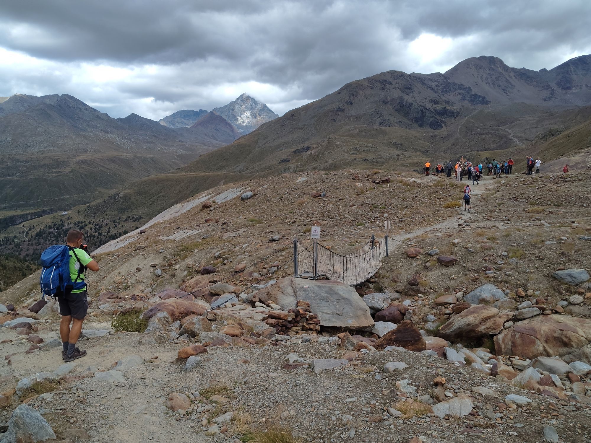
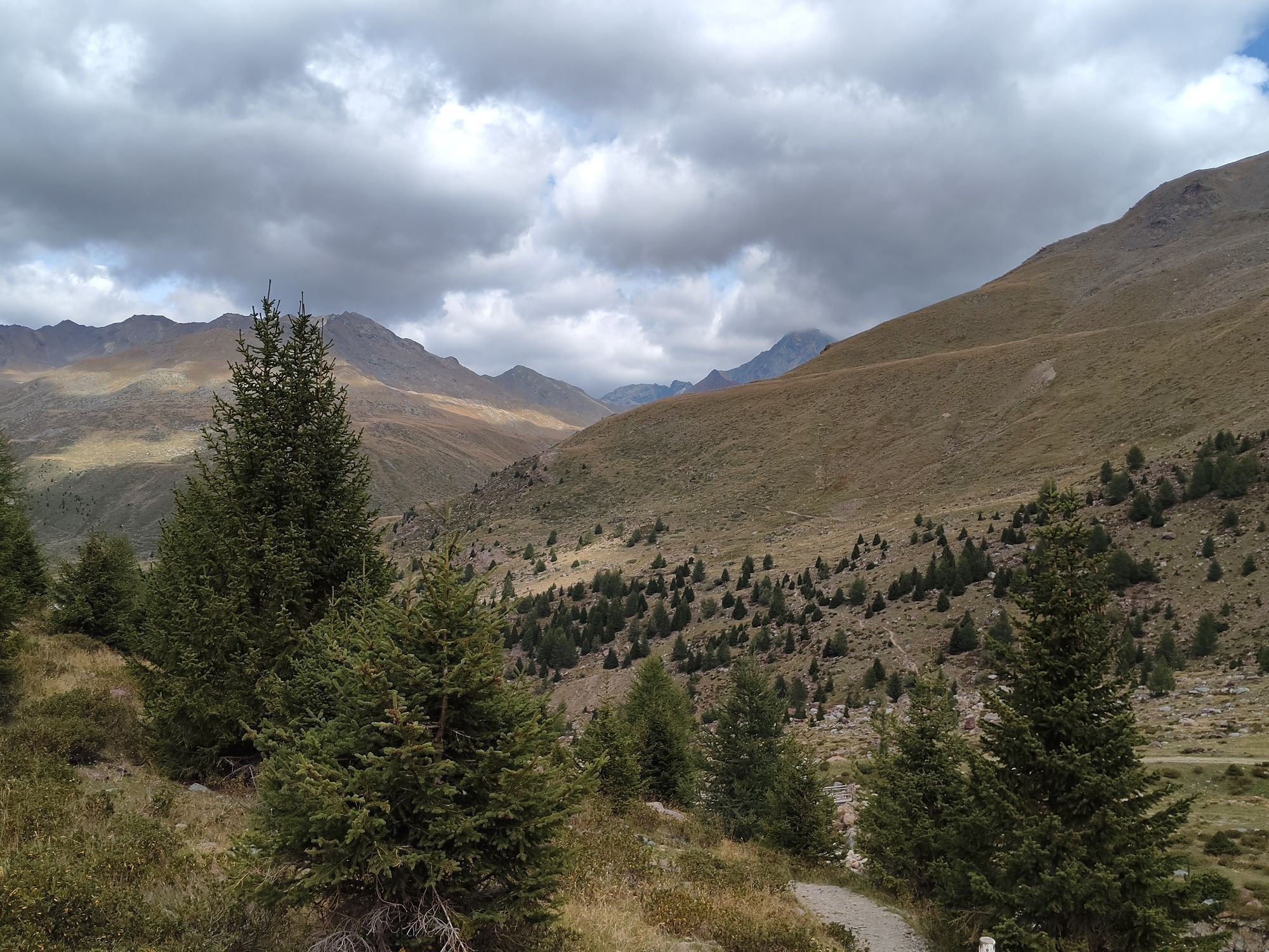
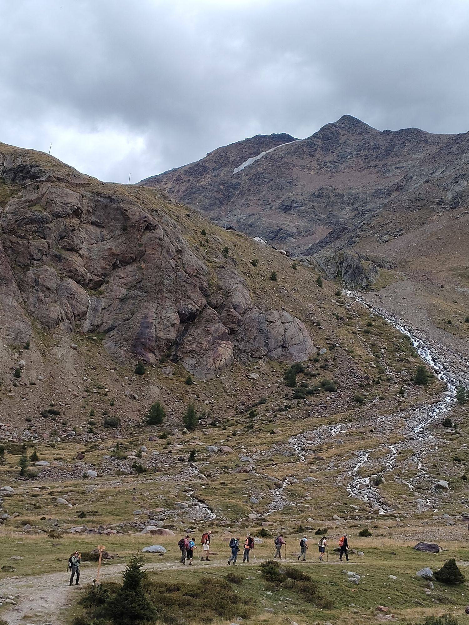
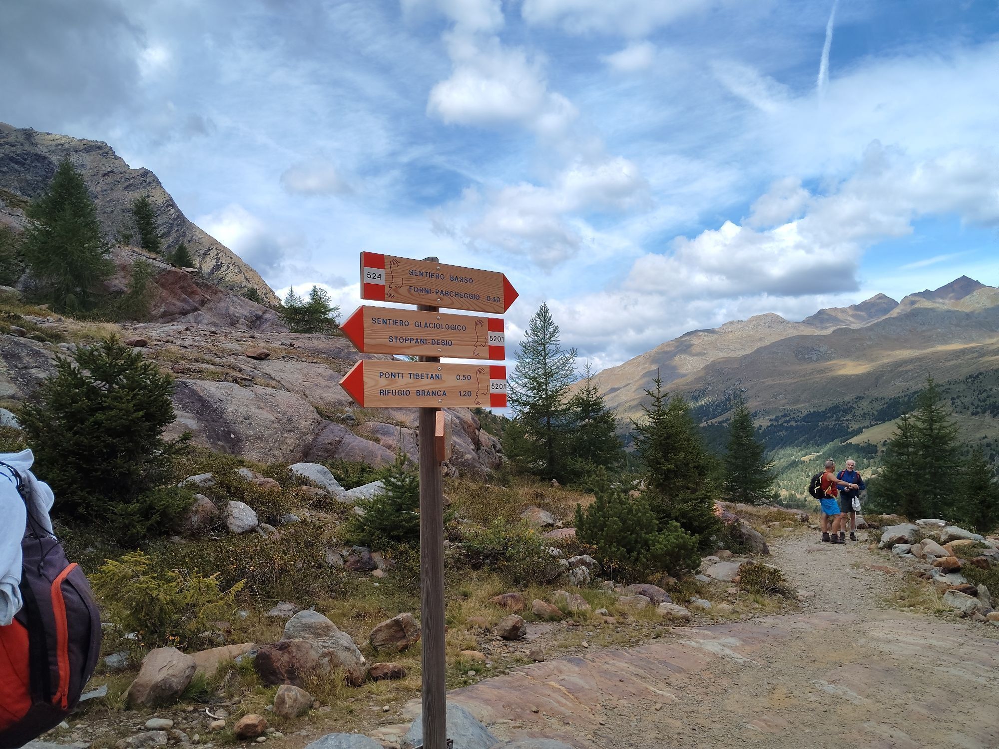
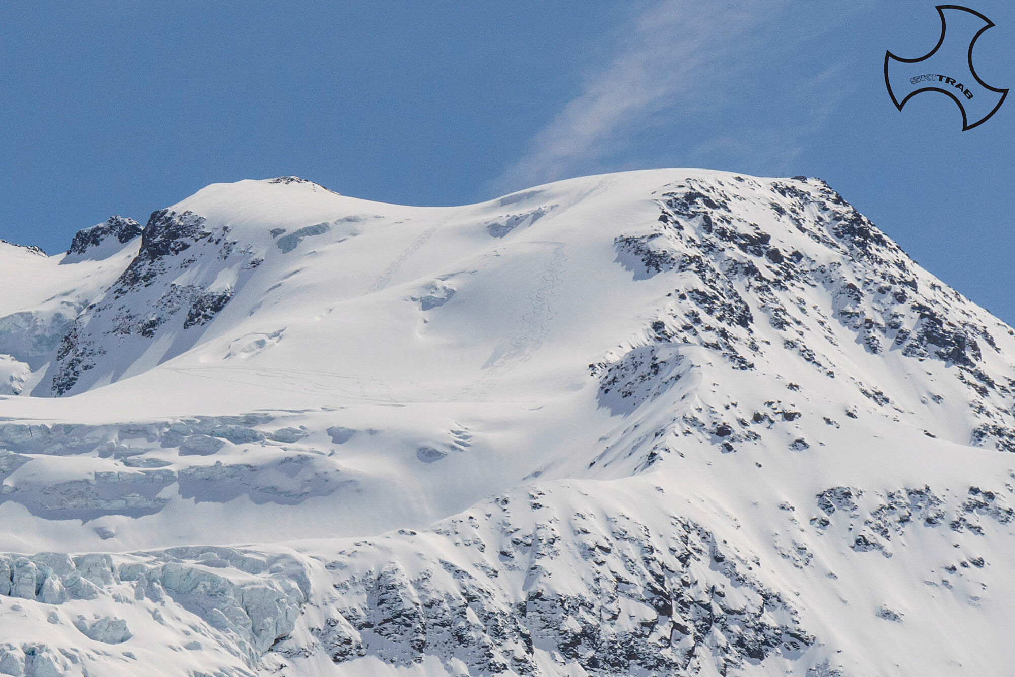
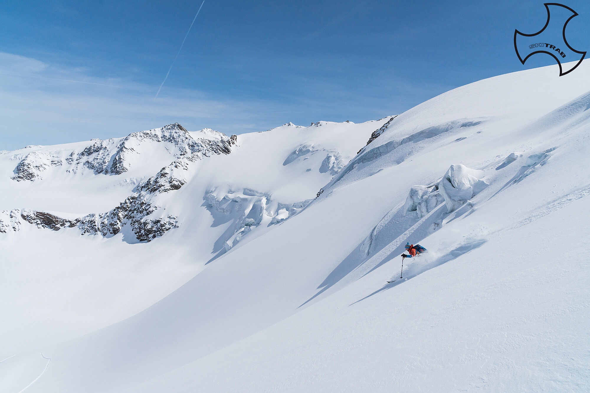
From the Forni, one leads to the vicinity of the small artificial barrage. Following the signs to the right for the Branca refuge, first pass a small bridge over the Cedec stream and then continue along the bottom of the valley, following a nice track always beaten on the left of the Frodolfo stream, until you reach a small plateau from where you can see the refuge above on the left. This area can also be reached by passing at the beginning of the route at the base of the small dam and skirting the Frodolfo stream on the right. You now go to the right passing a small bridge, or a little further on, with good snowfall, you can easily cross the stream. Following now some small bumps and valleys in a southeasterly direction, you arrive on the basal plateau near a small Tibetan bridge where a little further on the Forni glacier begins. Standing just to the right of the obvious median moraine of the Forni Glacier, follow it almost to its end and then begin to climb to the right passing at the base of the obvious rock face standing almost at the edge of the glacier. After passing a steep crevasse area you reach a wide plateau and continue in the same direction climbing another short steep section thus reaching the base of the hidden southeast couloir of the Pejo Peaks. You climb it entirely and with one last short steep section (possibly put crampons on) you reach the col at 3220 m altitude. Now continue in an easterly direction for about 300 m and then climb the wide slope surrounded by seracs and crevasses pointing in the upper part to the right. Thus we arrive on the final dome that allows us, continuing straight in the direction, south to reach the main summit at an altitude of 3449 m where a beautiful wooden cross has recently been erected. If, on the other hand, you head southeast, you will come close to the flat ridge and, having passed a last short steeper section, you will reach the highest summit at 3576 m.

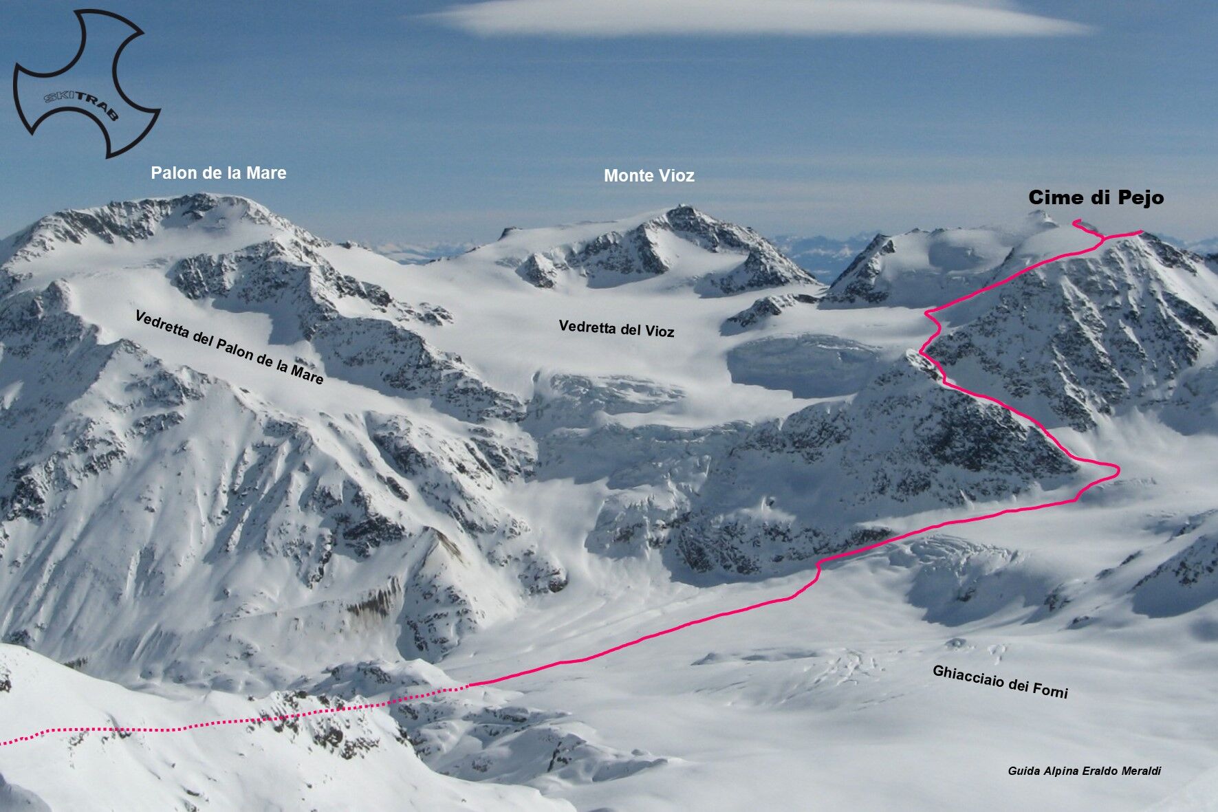

Isolaccia, Presedont, Borron, Cima Piazzi.
Self-rescue equipment (ARTVA, shovel and probe). Rampant, harness, ice axe and crampons. Possibly a glacier rope.
The middle gully is very steep and sometimes has to be climbed on foot. The upper part of the glacier is very crevassed.
The route description and trail are approximate and should be checked on site depending on the condition of the snowpack present during the hike.
Because this is a hike in a snowy mountain environment at high altitudes subject to continually changing snowpack conditions, it is advisable to have adequate experience in ski mountaineering, knowledge of the area, and up-to-date information on snow conditions.
Accompaniment with a professional guide is recommended.
Ample parking at the start.
The route description and trail are approximate and should be verified on site depending on the condition of the snowpack present during the hike.
Because this is a hike in a snowy mountain environment at high altitudes subject to continually changing snowpack conditions, it is advisable to have adequate experience in ski mountaineering, knowledge of the area, and up-to-date information on snow conditions.
Accompaniment with a professional guide is recommended.
Webové kamery z prohlídky
-
Pejo 3000 - Kinderland
-
Pejo - Pejo 3000
-
Pejo - Seroden
-
Pejo - Tarlenta
-
Centro Sci Fondo
-
Centro Sci Fondo
-
Centro Sci Fondo
-
Centro Sci Fondo
-
Centro Sci Fondo
-
I Forni
-
I Forni
-
I Forni
-
I Forni
-
Pejo - Pejo 3000
-
Pejo - Pejo 3000
-
Pejo - Pejo 3000
-
Pejo - Tarlenta
-
Pejo - Tarlenta
-
Pejo - Tarlenta
-
Pejo - Tarlenta
-
I Forni

Oblíbené prohlídky v okolí
-
4.5
Martellerhütte Höhenweg
středníVysokohorská turistika 8.70 km -
5.0
Martell-Tal Rundweg zur Marteller Hütte
světloTuristika 10.8 km -
4.9
Plimaschlucht
světloHorská turistika 7.23 km -
3.9
Von Sulden zur Hinteren Schöntaufspitze
středníTuristika 12.7 km -
3.7
Payerhütte 3020m
Turistika 6.98 km -
4.3
Obervinschgau - Madritschjoch, der höchste Transalp Übergang
Mountainbike 9.54 km -
5.0
Ortler über Meraner Weg (vom Tal/Trafoi)
heavyVysokohorská turistika 11.9 km -
4.7
Stilfs - Stelvio - Madritschspitze - Cima Madriccio
heavyTuristika 16.3 km -
4.3
Ortler – Normalweg
heavyVysokohorská turistika 7.30 km -
5.0
Ortler über Hintergrat
heavyVysokohorská turistika 8.03 km
Pěší turistika a stopování


Nenechte si ujít nabídky a inspiraci pro vaši příští dovolenou
Vaše e-mailová adresa byl přidán do poštovního seznamu.





