






Ascent in Val Bodengo
The adventure begins already on the Trivulzia Provincial Road: even the 800 meters before the junction for Valbodengo have uphill characteristics for those coming from Colico. At the crucial junction before...
The first stretch through Gordona still offers some relief with gentle gradients up to kilometer 1.5. But from the last houses of the town, the mountain starts showing its teeth: the slopes gradually become more demanding until, at the entrance to the consortium road, the real challenge with the alpine verticality begins.
The average gradient approaches an impressive 12% in a dramatic crescendo. Six hairpin bends mark this relentless stretch where the road never gives a break, stubbornly staying above 10%. The fiercest ramps appear at kilometer 3 (14%) and reach the peak at kilometer 5 with gradients up to 16% that challenge even the best-trained cyclists.
At the trattoria, a breathtaking view of the Valchiavenna and the imposing mass of Pizzo di Prata offers the right reward for the effort made. Fortunately, the toughest section remains behind.
After passing the hardest part, the ascent still has challenging segments (11% at km 7.2, 13% at km 9) but all short in duration, almost final sprints towards liberation. The most suggestive moments come when the road runs along the hillside, offering breathtaking passages over the famous canyon below.
It is not uncommon to come across groups of canyoning enthusiasts equipped with wetsuits and ropes, ready to try their hand at this fascinating discipline for which Valbodengo is an ideal testing ground. The wild environment, characterized by some rough sections and the presence of a short rockfall protection tunnel (beware of signs prohibiting transit in adverse weather conditions), adds a touch of authentic adventure.
Reaching the first hamlets of the valley, the environment transforms radically. Starting from Pra Pince, the landscape opens into gentler and more welcoming scenes. The Boggia stream flows quietly on the left, accompanying the cyclist to the arrival at Bodengo, a small village of rare beauty, anticipated by the characteristic church of San Bernardo.
For the most adventurous, beyond Bodengo (with passages at 14%) it is necessary to cross the stream: the asphalt road ends less than a kilometer later in an anonymous place, but it has preserved the look of old times.
The route, except for the first two kilometers, runs entirely in the shade of dense chestnut woods, offering precious protection from the sun and numerous characteristic fountains to quench thirst along the way.
Important note: to drive on the consortium road by car it is necessary to obtain a special paid permit at the bar near the church. Although the road requires payment, traffic can cause some inconvenience during summer weekends, also considering the narrow size of the carriageway.
The boldest climbers and lovers of impossible gradients can try this alternative route: after passing the trattoria, turn right and, after passing the barrier after the first hairpin bend, face a real asphalt wall that leads up to 1,116 meters altitude.
This route represents a vertical leap of 360 meters over 2.9 kilometers of pure cycling masochism: 13 hairpin bends with an average gradient above 12% and peaks of 20% that defy the laws of physics and human endurance. The only downside of this extreme variant is that currently the road ends in an anonymous place, a few hundred meters from the Orlo alpine pasture, making the effort end in itself but tremendously fascinating for those seeking the pure thrill of absolute verticality.
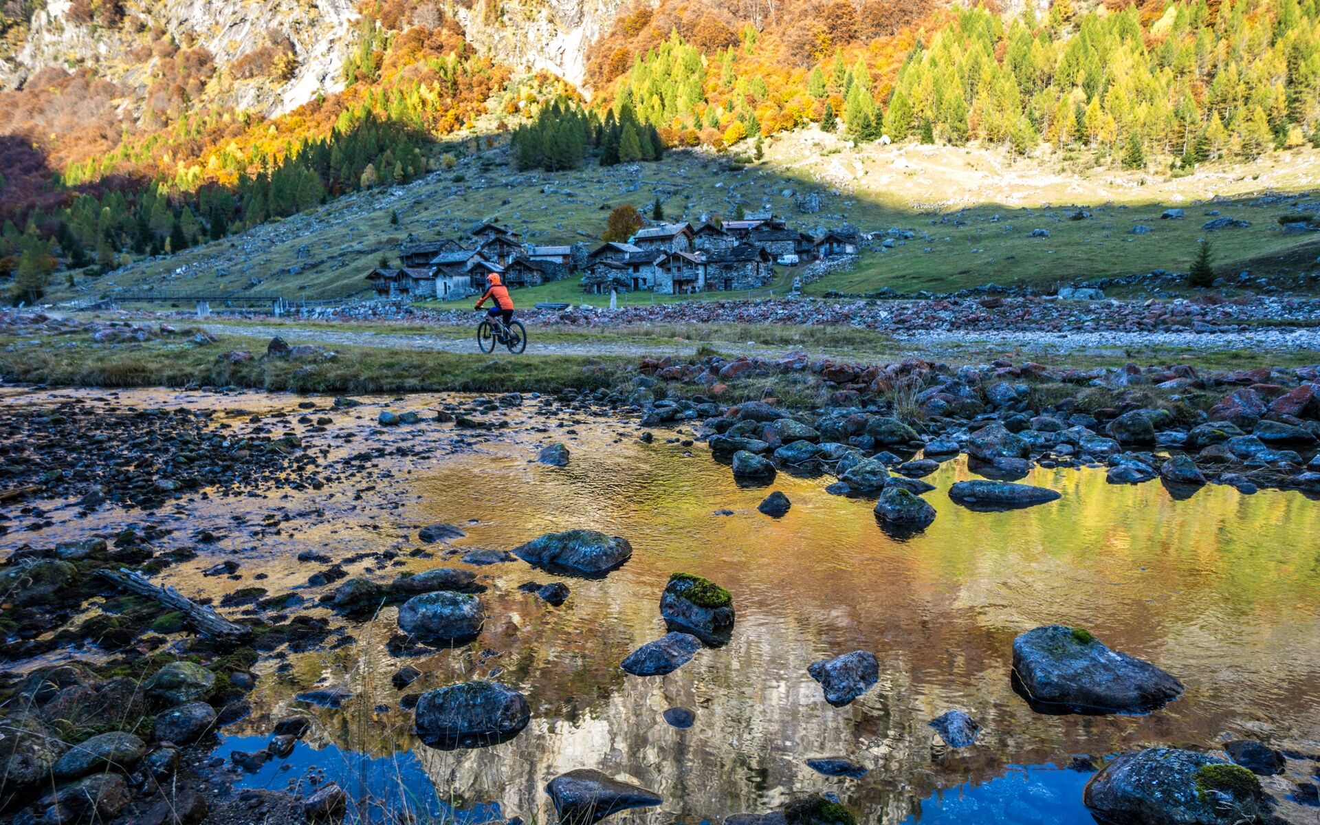
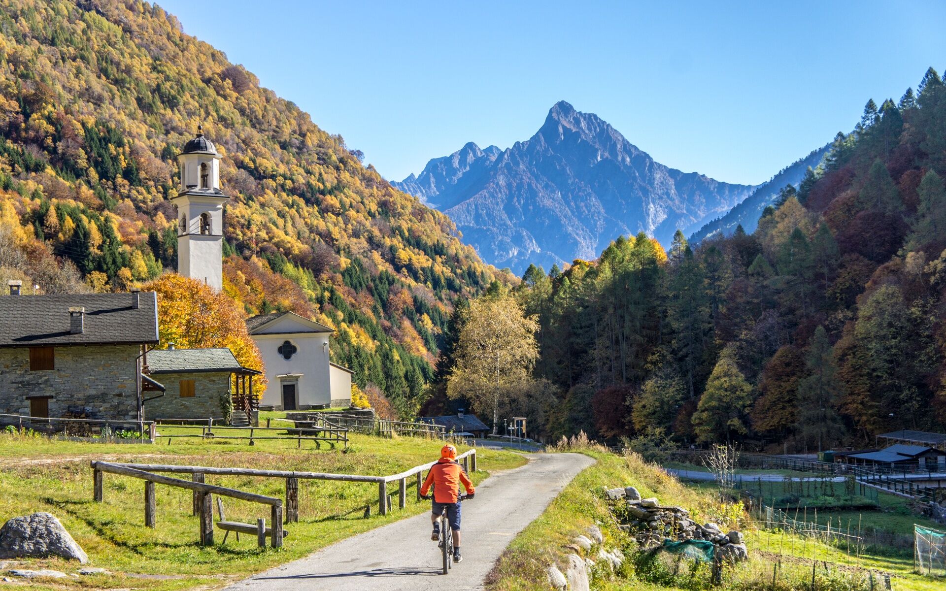
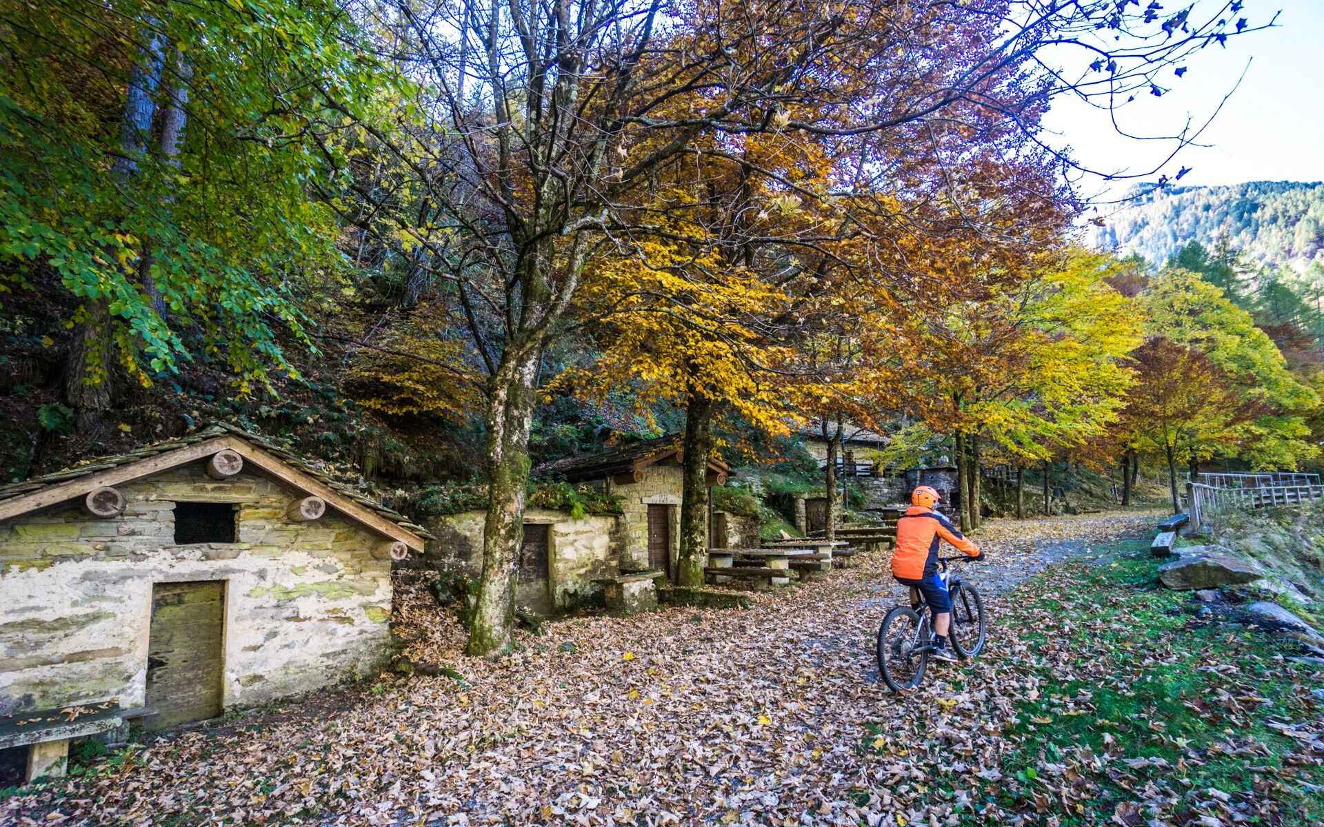

Val Bodengo
Získejte přehled Vždy živě na místě s více než 9 500 webkamerami. bergfex Jako uživatel Pro si nyní můžete zobrazit odpovídající webové kamery pro mnoho prohlídek v aplikaci prohlídky z. Můžete si tak přímo prohlédnout aktuální podmínky. Oblíbené prohlídky v okolí
- 4.6
Monte Berlinghera da San Bartolomeo
středníTuristika 8.74 km - 5.0
Bocchetta Graglio Impressionante
středníTuristika 8.85 km - 5.0
Acqua Fraggia waterfall scenic loop - Savogno
světloTuristika 3.44 km - 5.0
Hike in Val Codera Novate - Rifugio Brasca ( Sentiero Roma first stage)
středníTuristika 10.7 km - 5.0
Berg und See „at it’s best“
středníHorská turistika 6.59 km - 5.0
Val Codera
středníTuristika 13.6 km - 4.0
Von Livo nach Alpe Motta
středníHorská turistika 12.3 km - 5.0
Lago di Darengo
středníTuristika 7.85 km - 4.3
Argigno, Italien
středníMountainbike 23.0 km - 4.0
Ciclabile Valchiavenna
světloJízda na kole 37.5 km
Pěší turistika a stopování


Nenechte si ujít nabídky a inspiraci pro vaši příští dovolenou
Vaše e-mailová adresa byl přidán do poštovního seznamu.





