







Stelvio E-Bike Tour: Bormio Pedemontana della Reit
Úroveň obtížnosti: 2
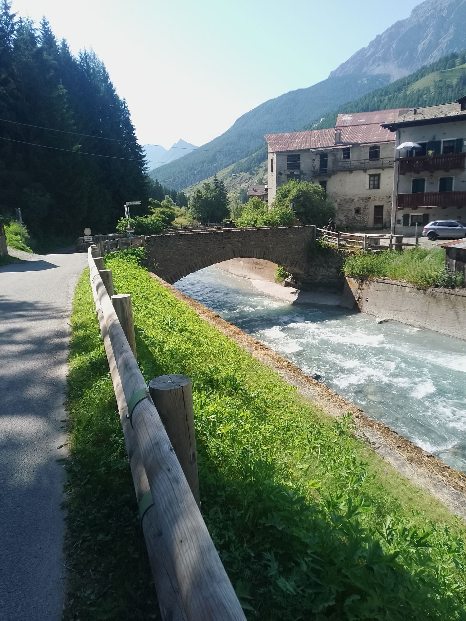
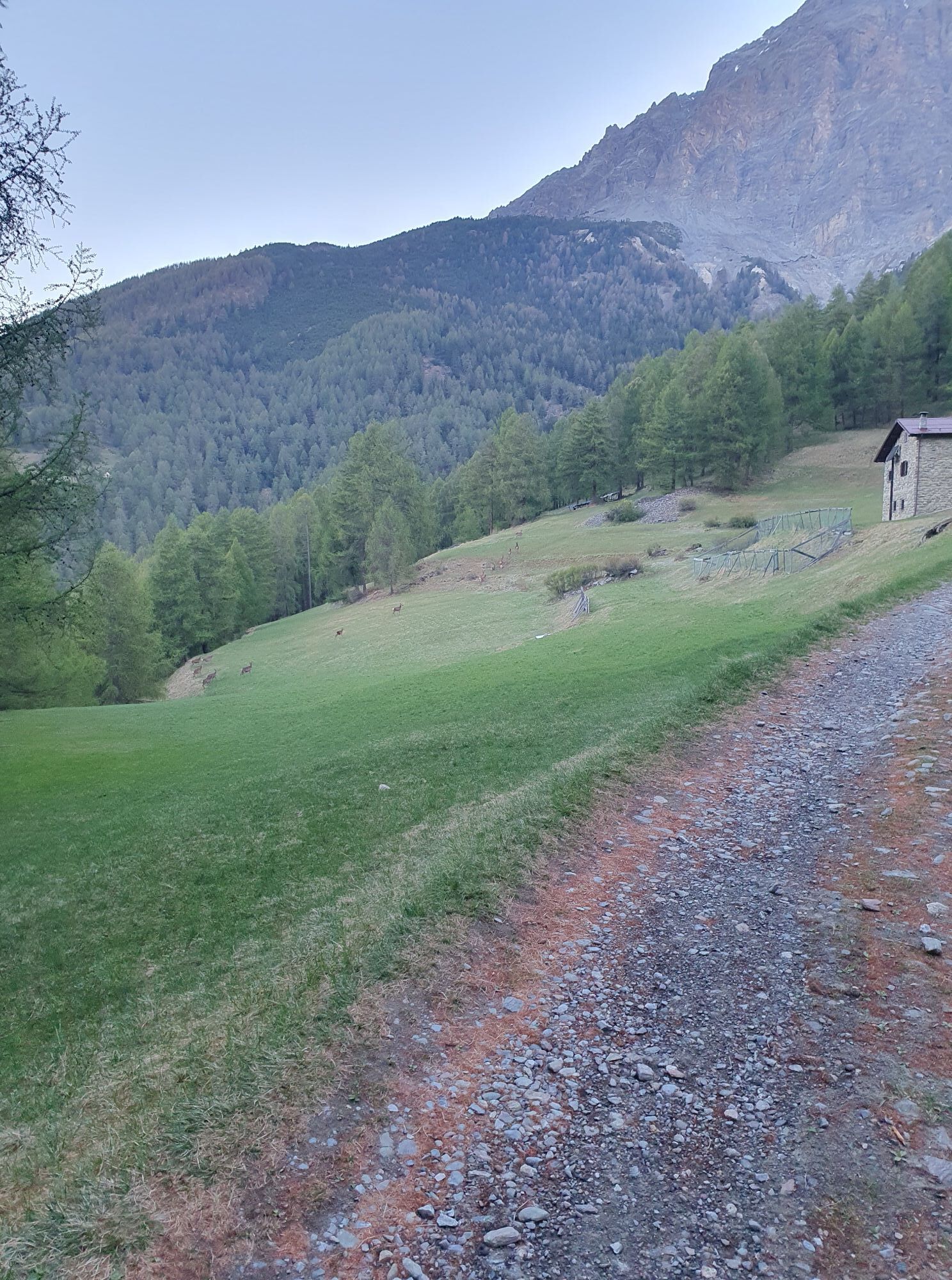
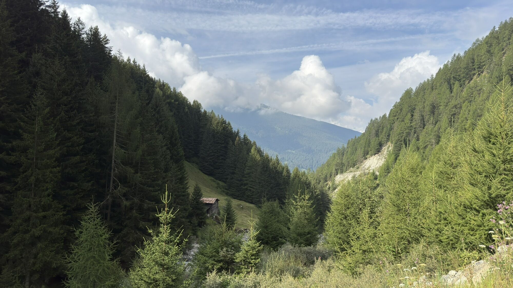
This loop e-bike itinerary starts from Bormio and unfolds along the suggestive Pedemontana della Reit, a historical trail that crosses the southern slopes of Monte Reit halfway up, an imposing Dolomitic...
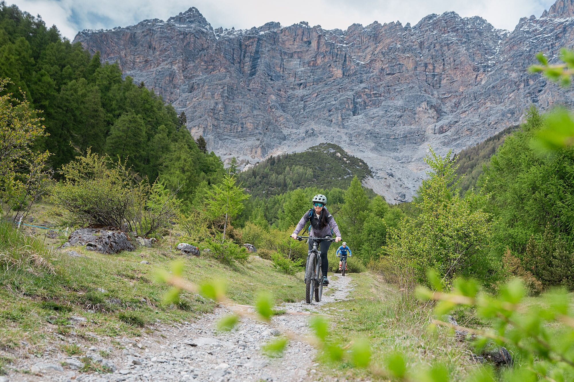
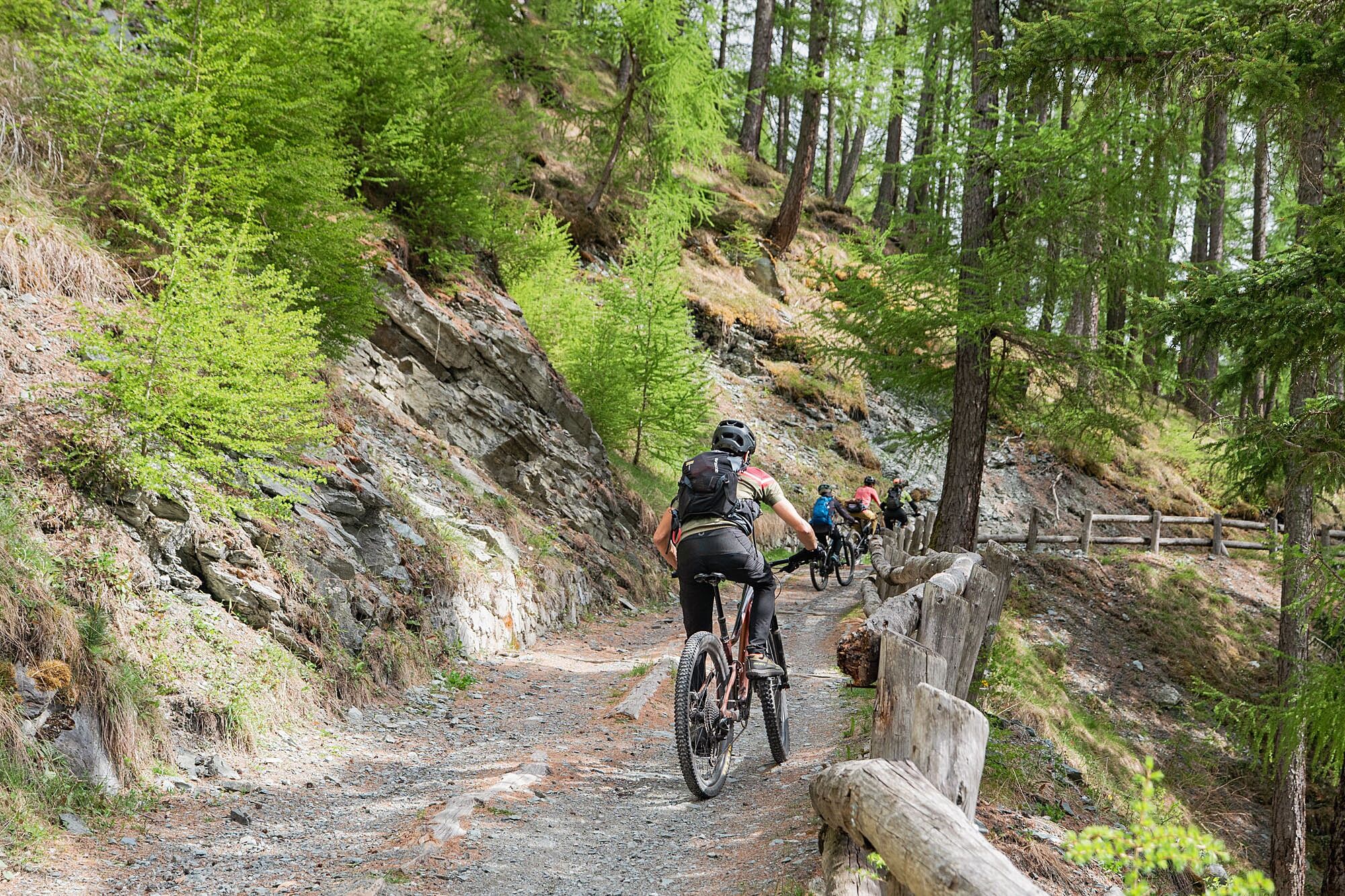
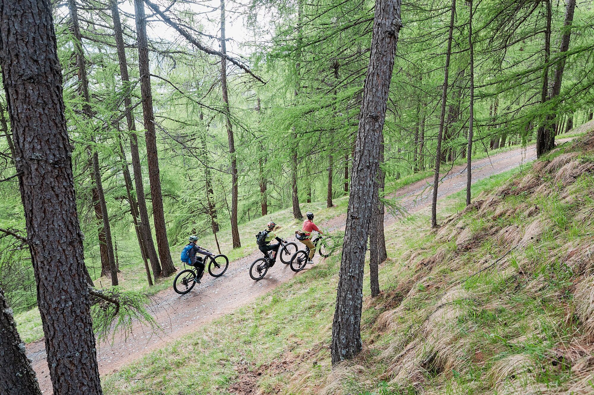
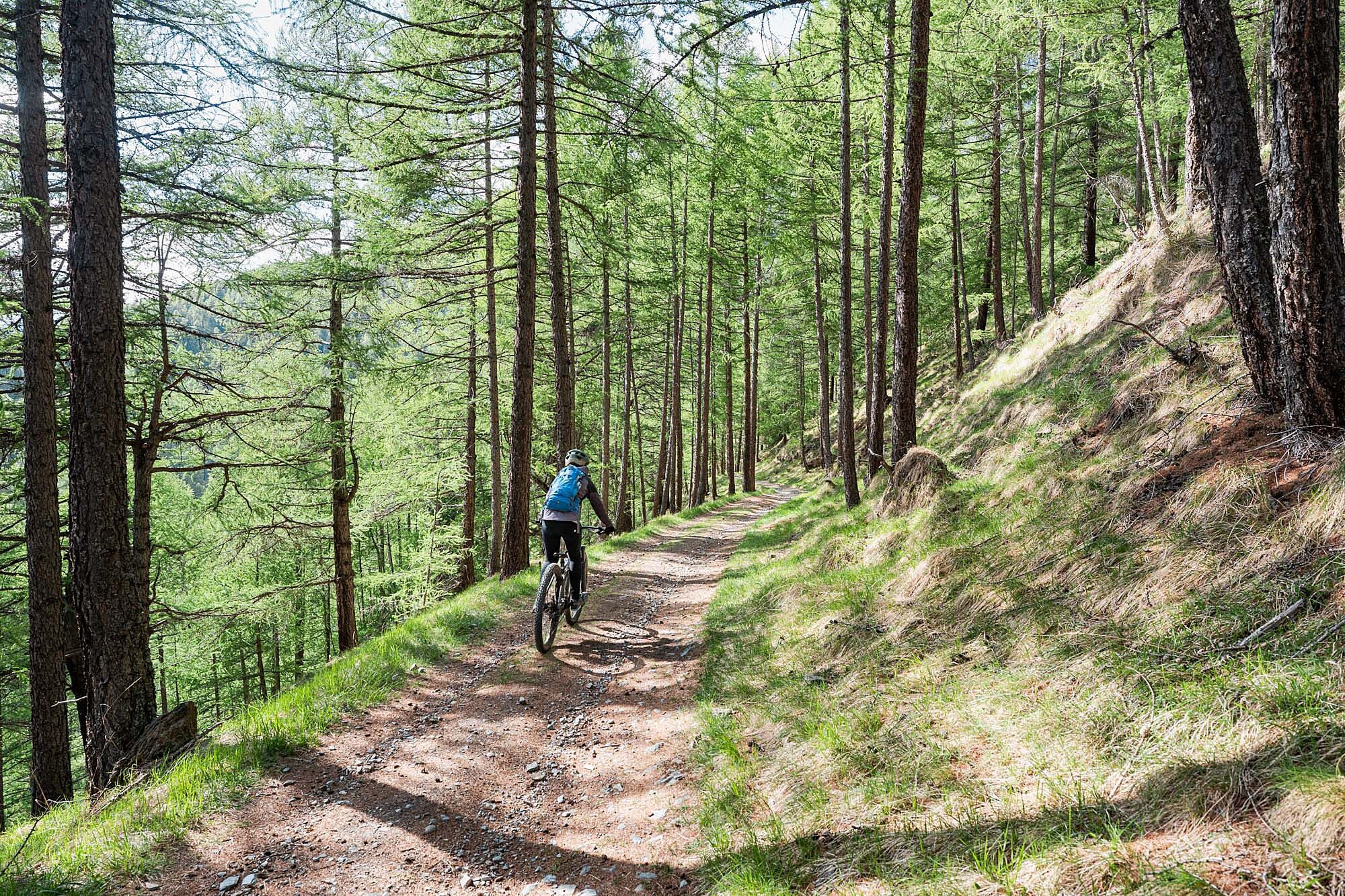
The route alternates gentle climbs with long almost flat traverses immersed in splendid larch forests, offering continuous views over the valley and surrounding mountains. The first part follows the actual pedemontana, while the second enters wilder environments, crossing the Uzza Valley and using stretches of old military roads built during the First World War.
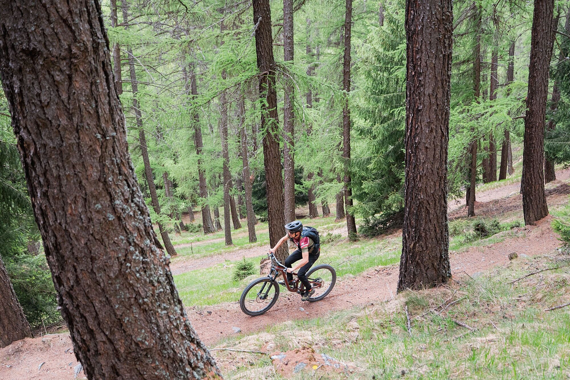
The track offers a varied and dynamic experience: from smooth and panoramic pedaling to more fun and technical downhill sections among woods and paths, until returning to Bormio passing through historic sites such as the San Pietro Castle area.
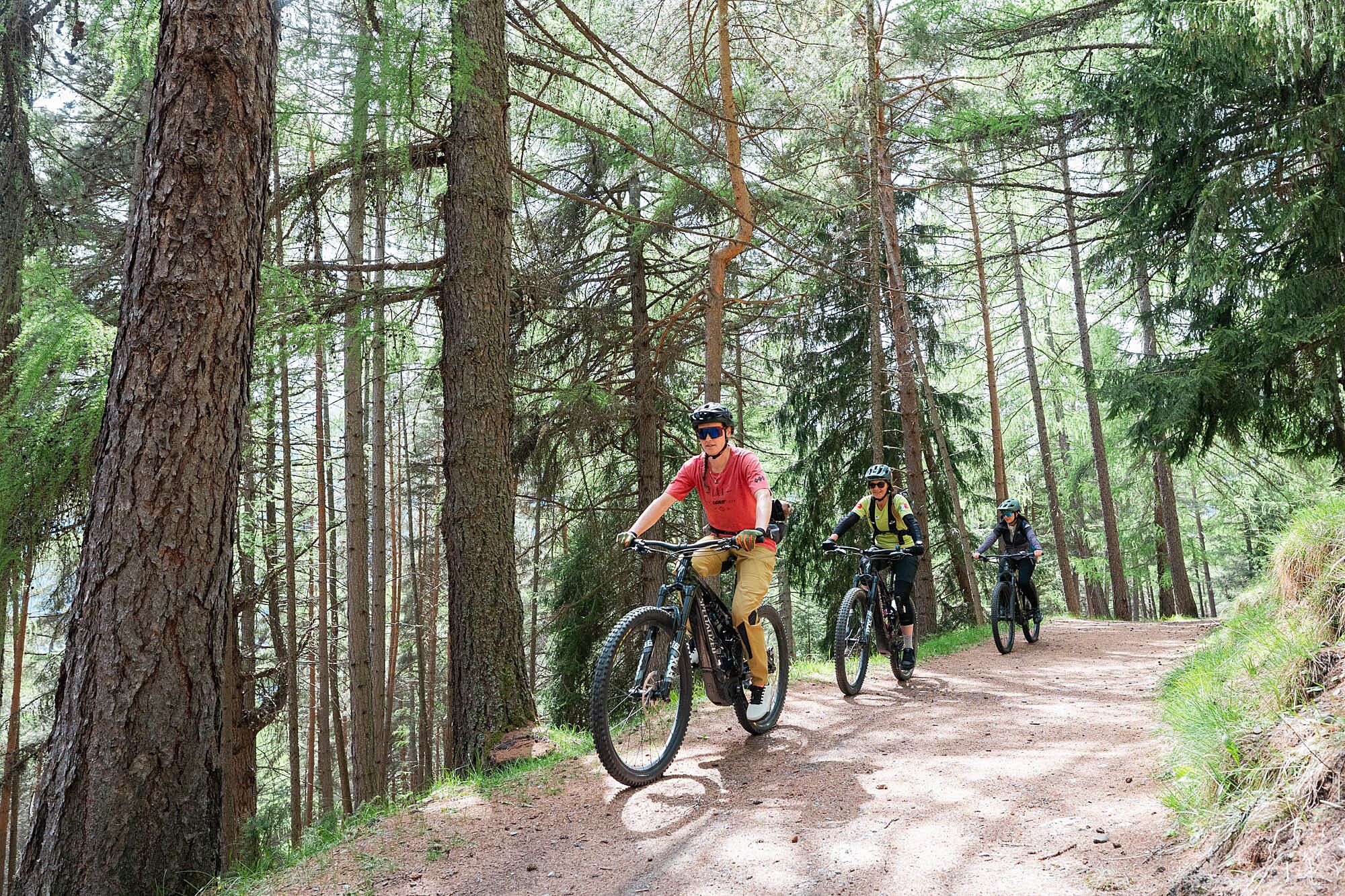
Thanks to the use of the e-bike, the route is accessible to a wide audience: the contained elevation difference and never extreme slopes allow full enjoyment of the natural context of the Stelvio National Park, among alpine flora, silence, and open valley views.
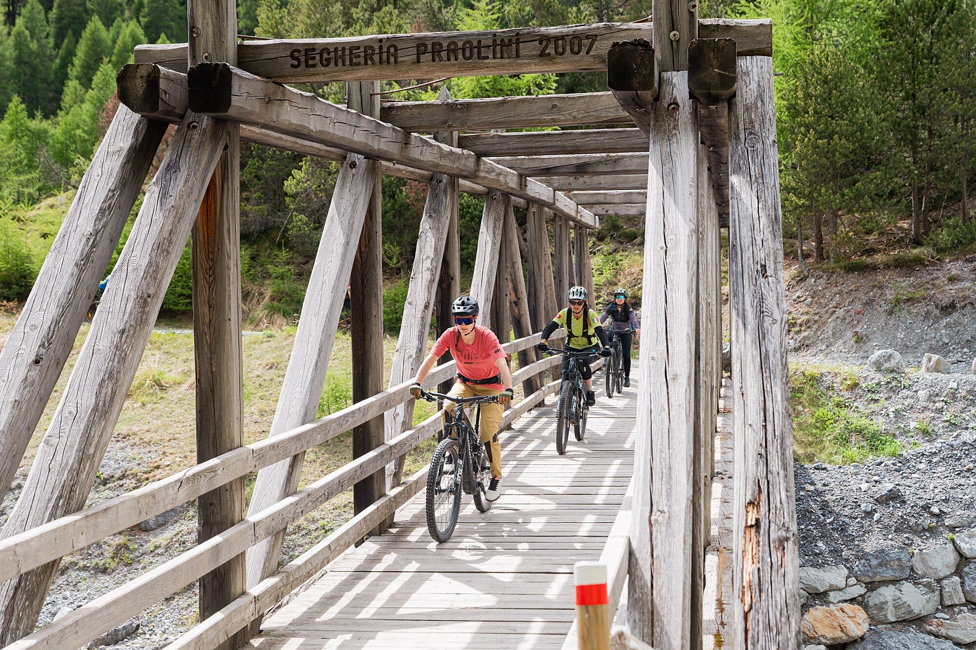
The dirt section starts from the Pravasivo parking at 1400 m. Follow the indication for Pramezzano and Uzza on dirt road no. 533 crossing a long section in the forest until reaching some right forks allowing direct descent to Bormio via signs no. 538 and no. 511. Instead, we are at a panoramic clearing with a wooden structure at 1530 m and take left path no. 511 towards Casina Alta heading east. Almost immediately, we leave another detour on the right and travel the Uzza valley with a gentle climb heading north. We soon exit the forest under the looming rock walls of the Cresta di Reit, cross the streams of two valleys by a ford and a bridge and, after a short climb, turn left into the forest at a junction. Then we meet the Ables military road at a wide hairpin with a signpost no. 531 at 1580 m altitude. We follow the dirt road climbing to Ortagio 1620 m and shortly after the second hairpin, take the right road sign no. 546 leading first to Plazzanecco 1690 m, then to Cadalberto sign no. 547 and finally to the Fantelle Parking 1600 m. The next path reaches the Ponte delle Tre Croci 1610 m from where to the left lies the entrance to Val Zebru'. We continue on the dirt road to the right sign no. 527, climb to Pradaccio 1658 m and just outside the huts find a crossroads: we descend again to the right sign no. 567 to San Gottardo and Sant'Antonio Valfurva. At the Plazzanecco junction, one can choose instead to continue the climb on the military road, turn right at the fourth hairpin, reach the panoramic Alpe Solaz di Sopra and descend to Fantelle on a steep and challenging path.

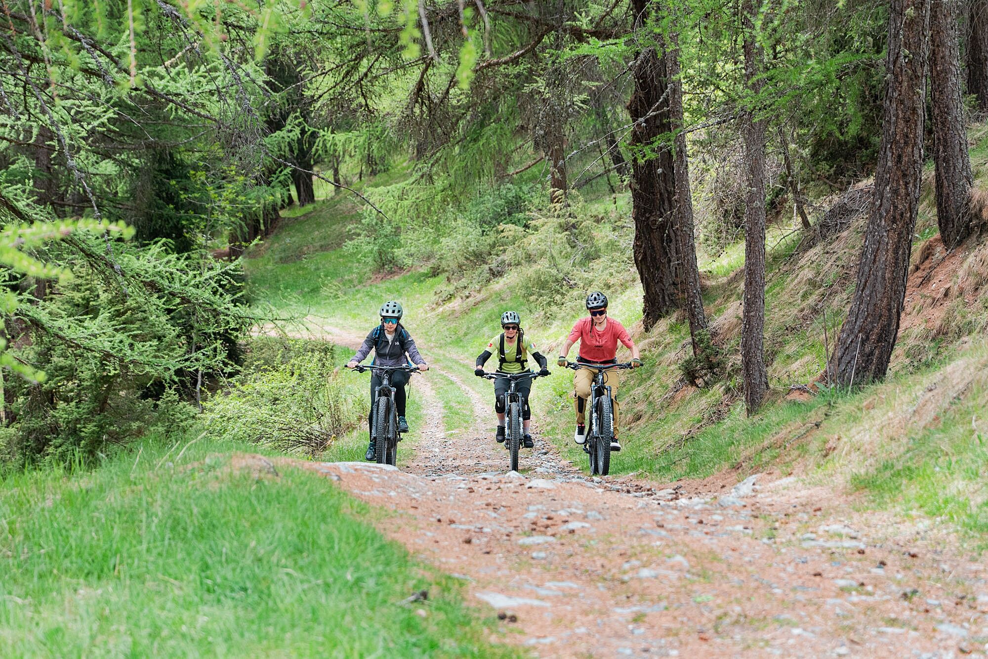

Bormio - Cycle path along the river to San Gallo - Bagni Nuovi - Bormio Pravasivo Parking - Reit Forest - Uzza Valley - Ortagio - Ables military road - Plazzanecco - Fantelle - Ponte delle Tre Croci - Pradaccio - San Gottardo - Sant'Antonio Valfurva - Cycle path - Bormio
Helmet mandatory
Repair kit and pump
Layered clothing
Water and snacks
GPS or route track
Some sections may be rocky or uneven: maintain cautious riding.
Pay attention on downhill sections, especially on natural surfaces.
Possible presence of hikers along the route.
Always check weather and ground conditions.
2
Also suitable for bikers with basic experience thanks to pedaling ease.
Perfect for those seeking a panoramic ride without large elevation differences.
Respect the Stelvio National Park environment.
Stop at open points along the pedemontana to admire the basin and take photos.
Great half-day ride, combinable with other excursions.
Webové kamery z prohlídky
Získejte přehled
Vždy živě na místě s více než 9 500 webkamerami. bergfex Jako uživatel Pro si nyní můžete zobrazit odpovídající webové kamery pro mnoho prohlídek v aplikaci prohlídky z. Můžete si tak přímo prohlédnout aktuální podmínky.
Oblíbené prohlídky v okolí
-
3.7
Payerhütte 3020m
Turistika 6.98 km -
4.5
Sonnenaufgang auf der Rötelspitze im Nationalpark Stilfserjoch
Turistika 2.02 km -
5.0
Wanderung/Aufstieg zur Payerhütte
světloTuristika 15.9 km -
5.0
Ortler über Meraner Weg (vom Tal/Trafoi)
heavyVysokohorská turistika 11.9 km -
4.3
Ortler – Normalweg
heavyVysokohorská turistika 7.30 km -
3.5
Watervallen wandeling
světloTuristika 4.95 km -
5.0
Ortler über Hintergrat
heavyVysokohorská turistika 8.03 km -
3.4
Sta.Maria, Prà da Vau - Lai da Rims - Alp Sot - Prà da Vau
heavyTuristika 14.7 km -
4.7
Suldenspitze
světloVysokohorská turistika 7.69 km -
4.8
Wanderung: Heilige drei Brunnen zur Berglhütte
světloTuristika 5.51 km
Pěší turistika a stopování


Nenechte si ujít nabídky a inspiraci pro vaši příští dovolenou
Vaše e-mailová adresa byl přidán do poštovního seznamu.





