







Marian Path of the Alps Eastern Route - Stage Bormio Cepina
Úroveň obtížnosti: T1
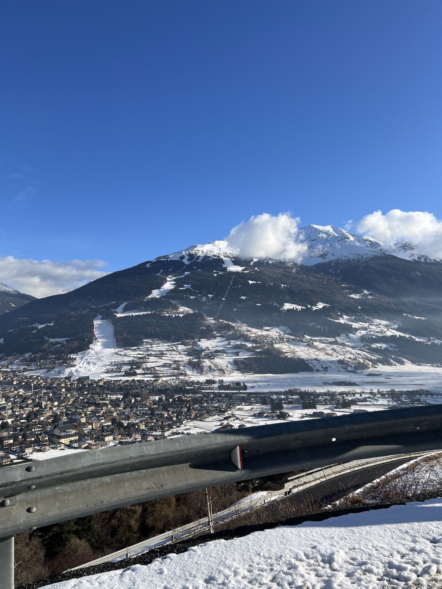
The eastern route of the Marian Path begins in Bormio, at Kuèrc Square, dominated by the collegiate church of Saints Gervasius and Protasius, the mother of the parish churches that also included Valfurva,...
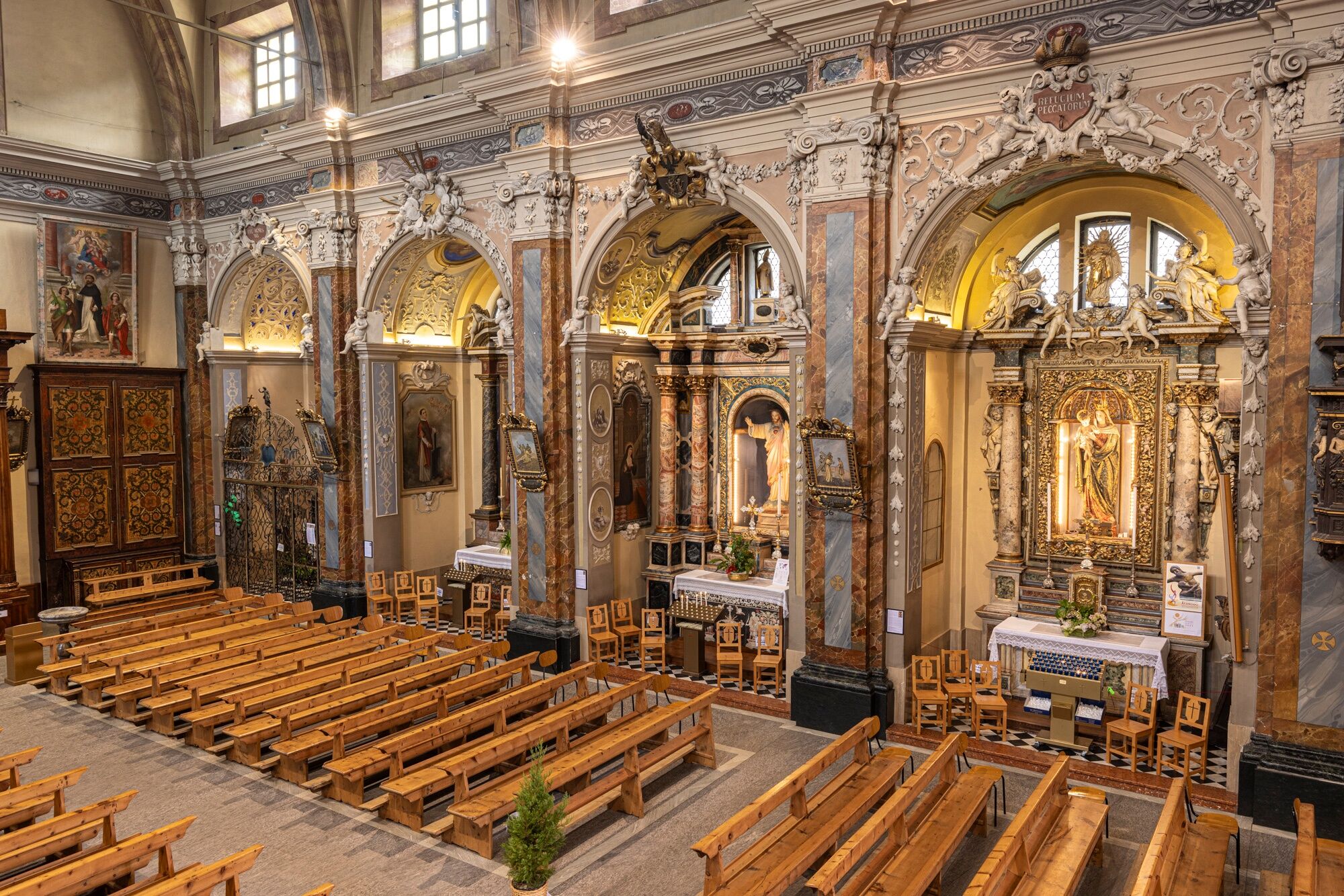
The eastern route of the Marian Path begins in Bormio, at Kuèrc Square, dominated by the collegiate church of Saints Gervasius and Protasius, the mother of the parish churches that also included Valfurva, Valdidentro, Valdisotto and Livigno. Damaged by a fire in 1621, it was rebuilt in the Counter-Reformation style. The oldest Marian images (late 14th century) are preserved in a walled lunette and in the covered passage to the rectory.
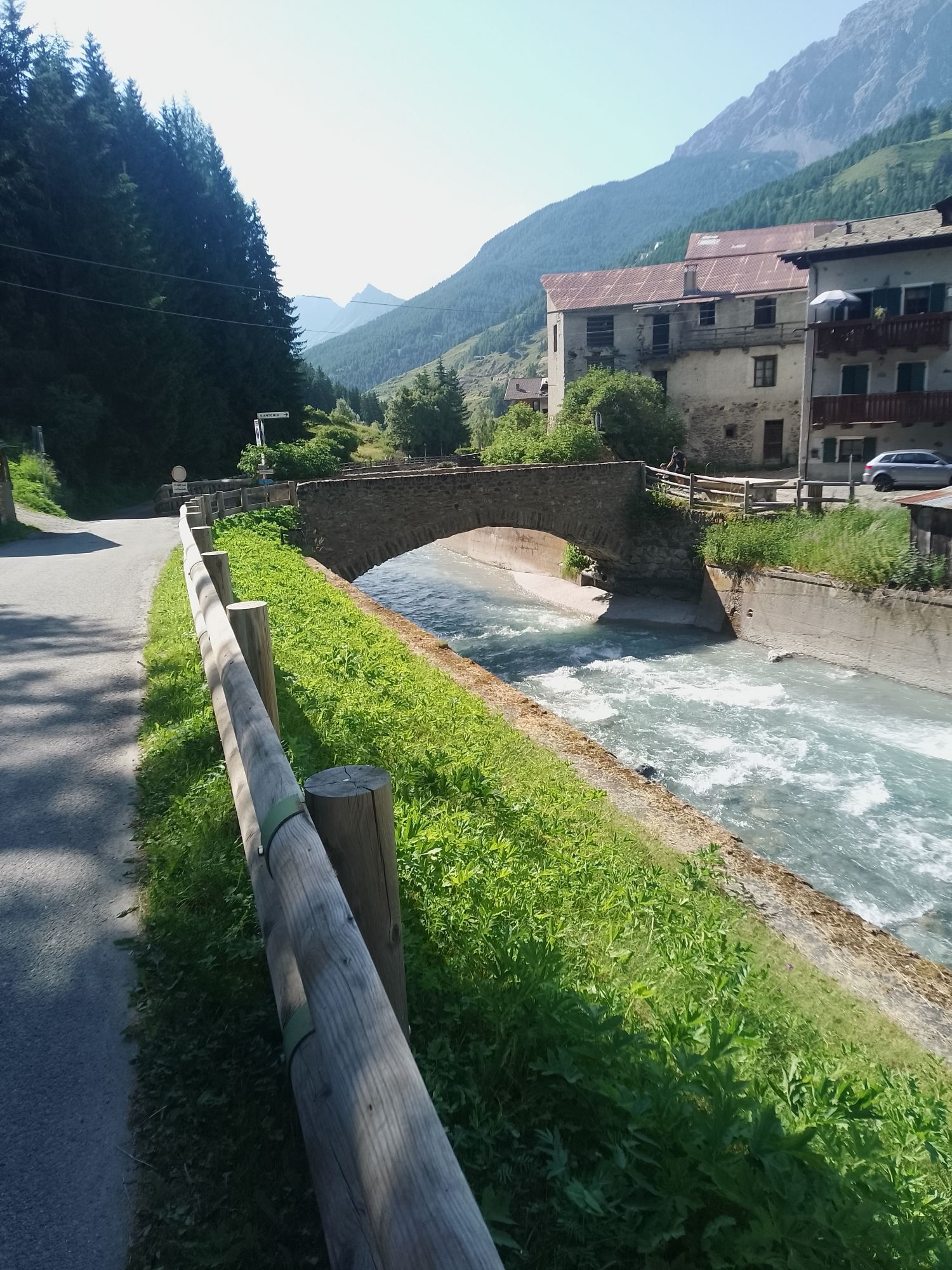
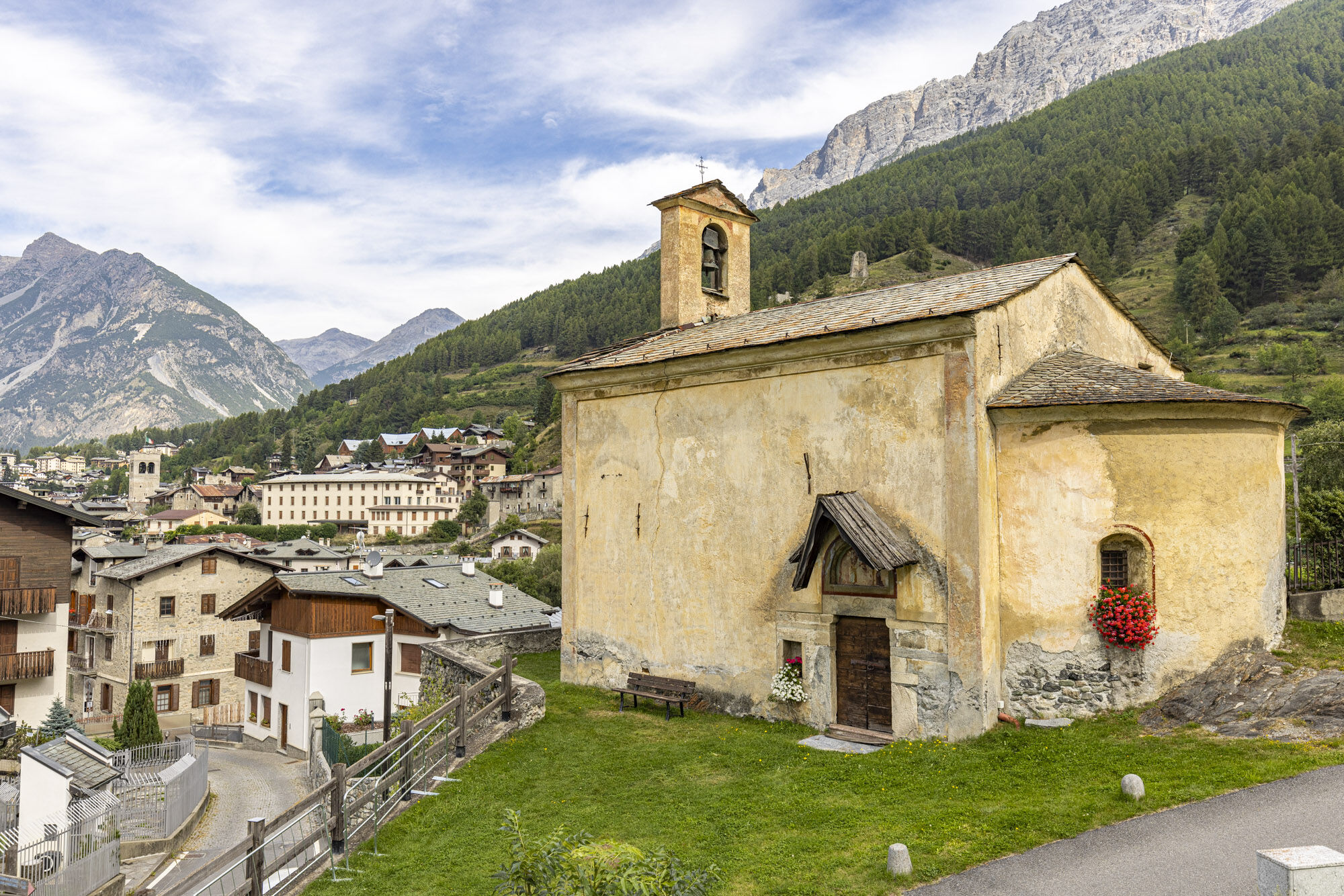
Then you cross Combo, with the church of Saint Anthony and the miraculous Crucifix, up to the Sassello or Madonna of Patience church, on a panoramic rock overlooking Bormio. The original anconetta is now at the Civic Museum; numerous ex-votos decorate the walls.
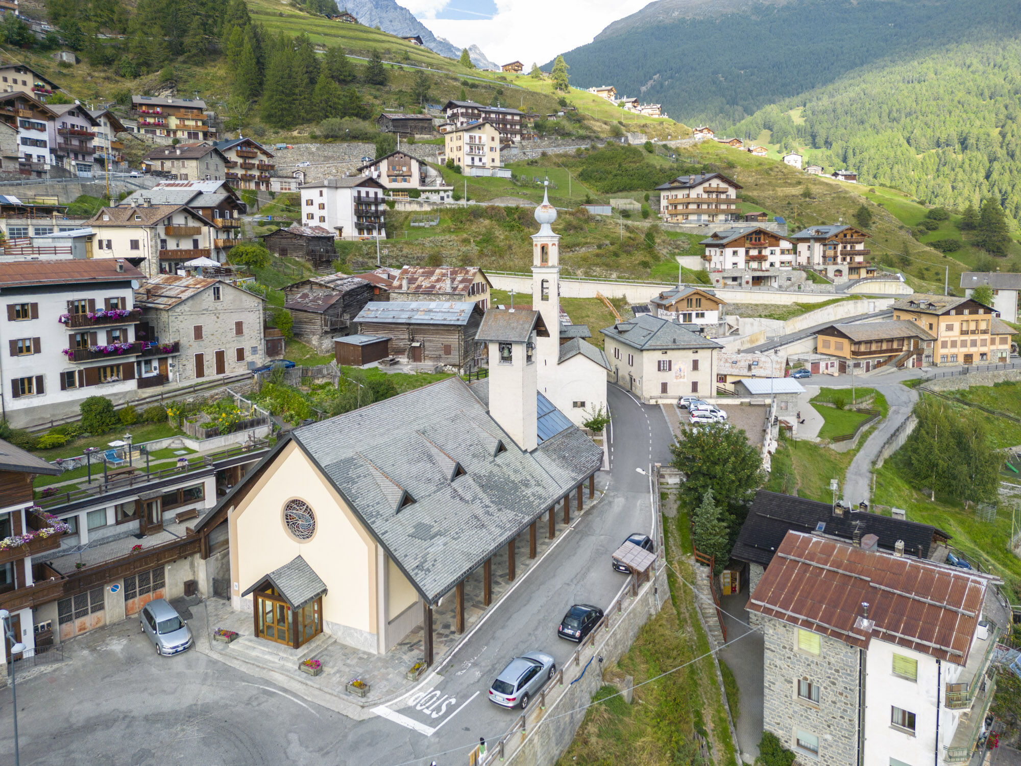
The route descends to Frodolfo, where an old sawmill recalls the artisanal activities of the past, then continues along the cycle path in Valfurva. After Saint Anthony, it returns towards Bormio through the pastures at the foot of the Réit, in the Stelvio National Park, in the area called Contrada dei Monti, where people once lived only in summer. The first 17th-century church, dedicated to the Blessed Virgin of Mount Carmel, gave the district its name, today Madonna dei Monti. The old church is deconsecrated; the altar was moved to the new church built after World War II.
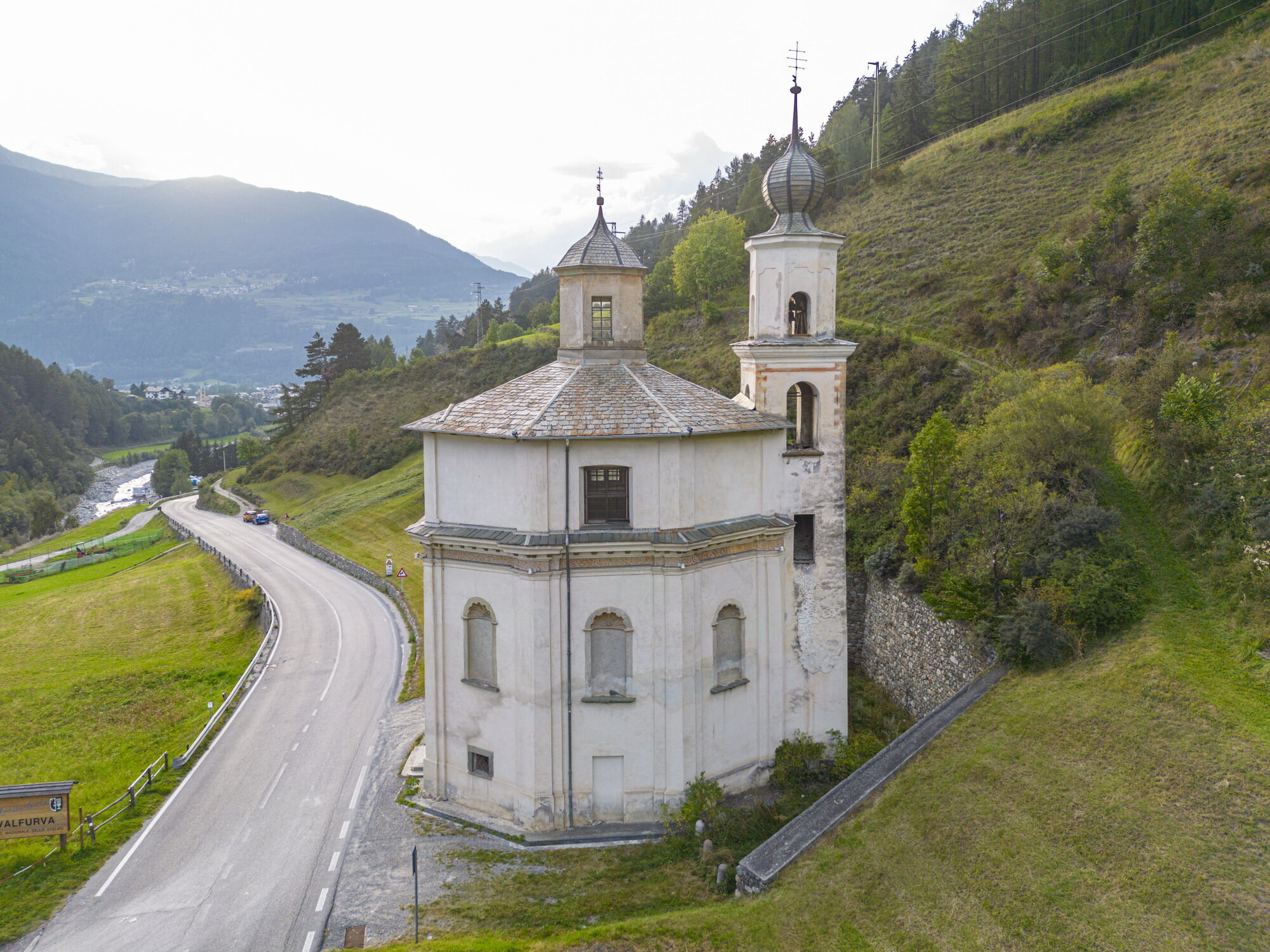
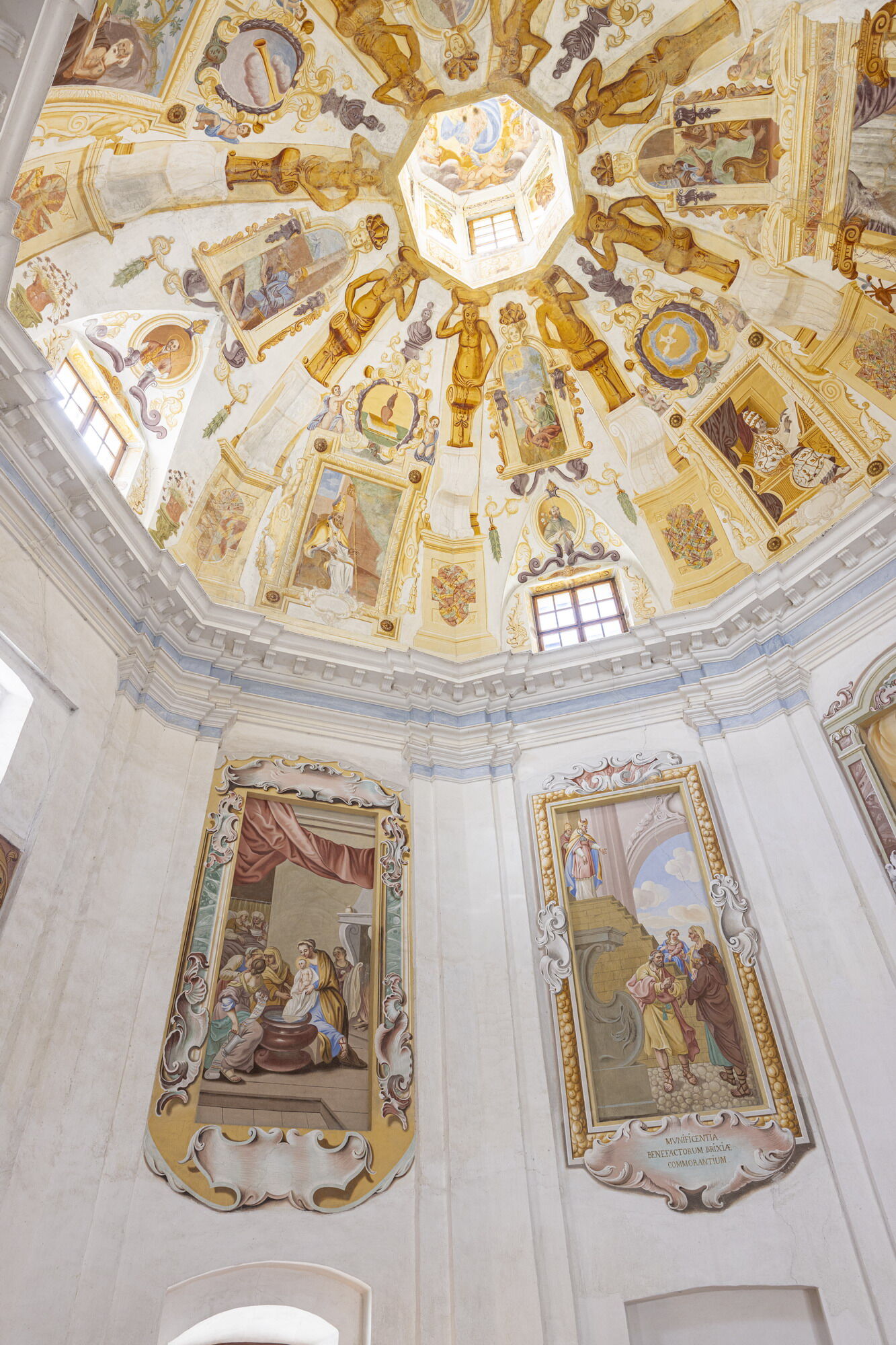
The path rises through the larch forest up to the Casina Bassa mountain hut, brushing the ridge of the Réit, then descends again to the Church of Our Lady of Mercy of Uzza ("the Little Madonna"), built between 1705 and 1717 incorporating a 16th-century frescoed image. With a central plan, it features a frescoed dome and scenes from the life of the Virgin, financed by emigrants in Brescia.
You climb up along the Réit to the San Gallo church, isolated on the plain between Bormio and Premadio, along the road towards the Fraele Pass. Of medieval origin, it was rebuilt in the 15th century, preserving frescoes, a wall loggia, and a Madonna on the throne (1482).
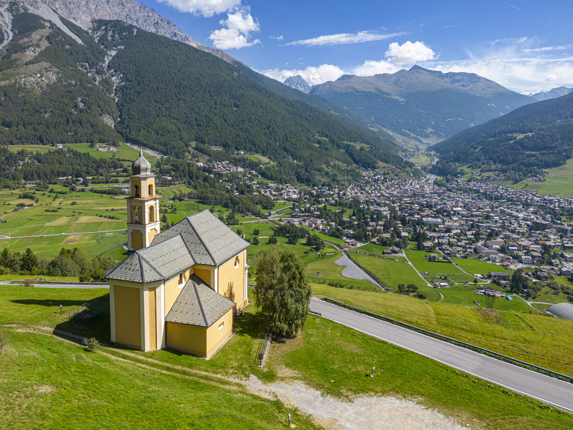
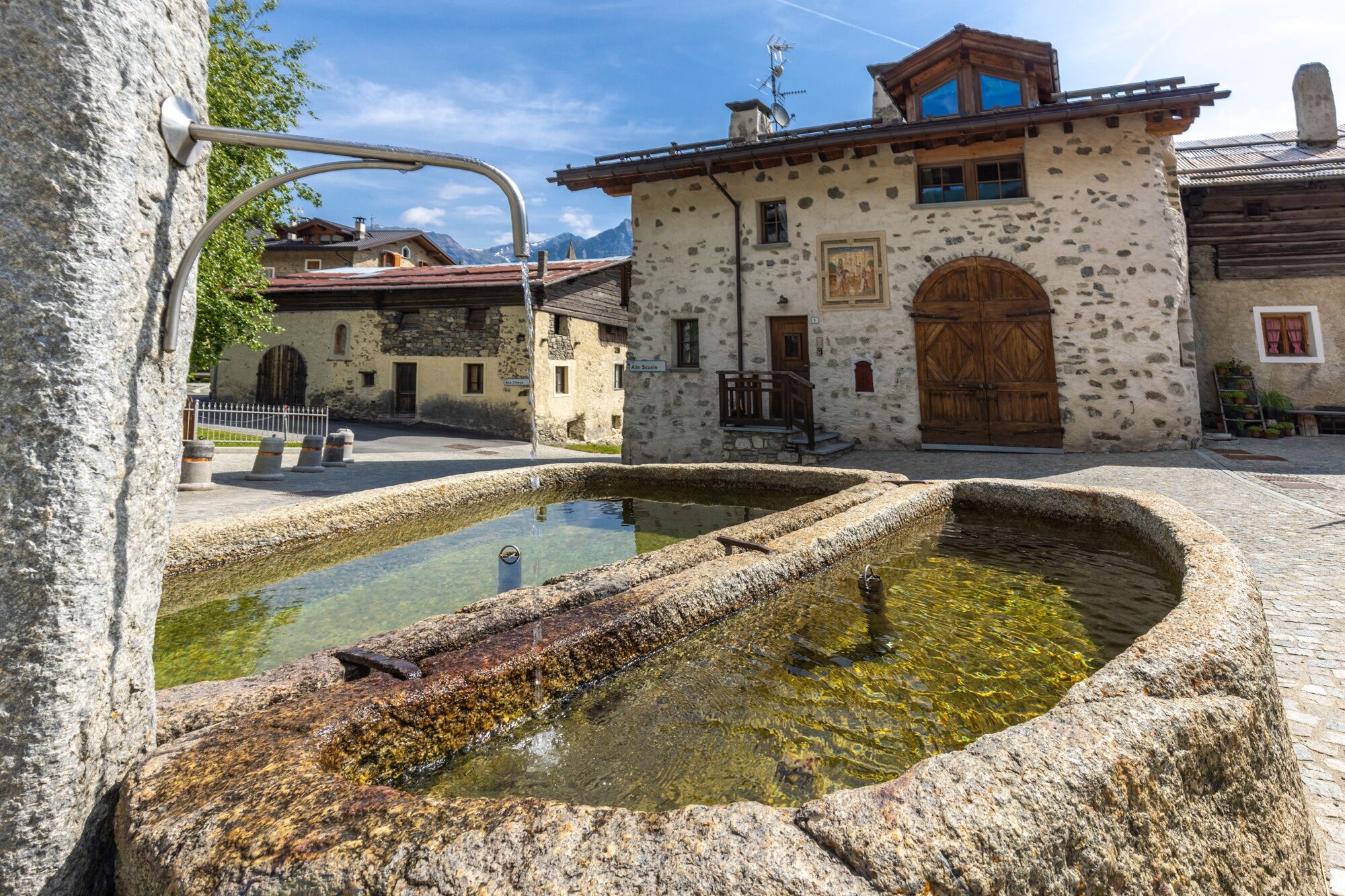
After crossing the Adda, you enter the Le Motte forest in Valdisotto. Shortly after, the Church of Our Lady of Caravaggio of Oga, built from 1718 on a devotion linked to the apparition of 1432, dominates the pastures halfway up the hill. The centrally planned interior houses a sculptural group with the Scene of the Apparition (1885). A similar fresco is found on a house near the village’s stone fountain.
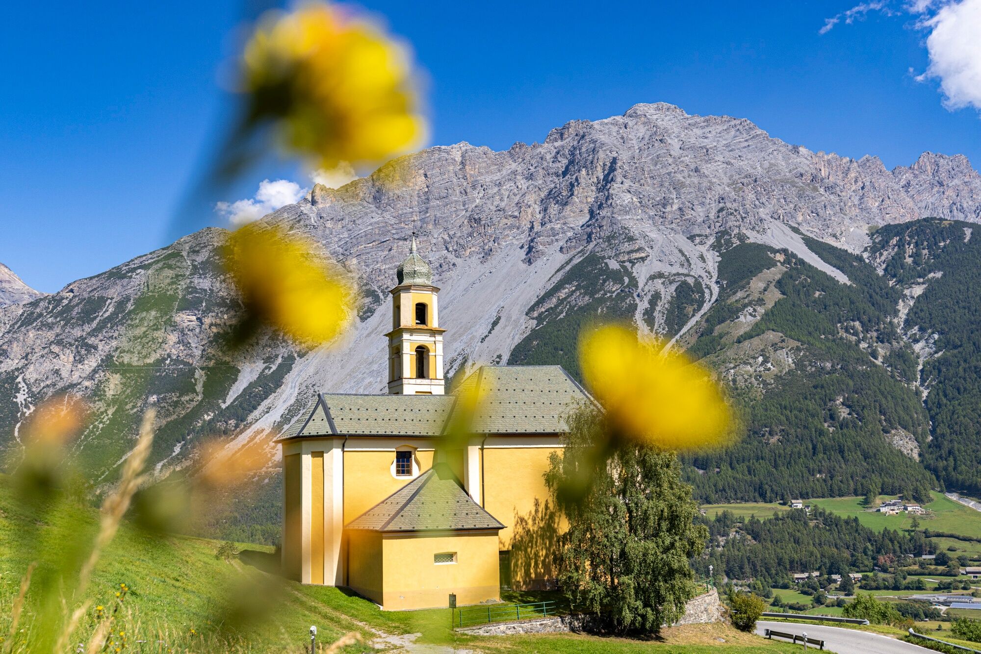
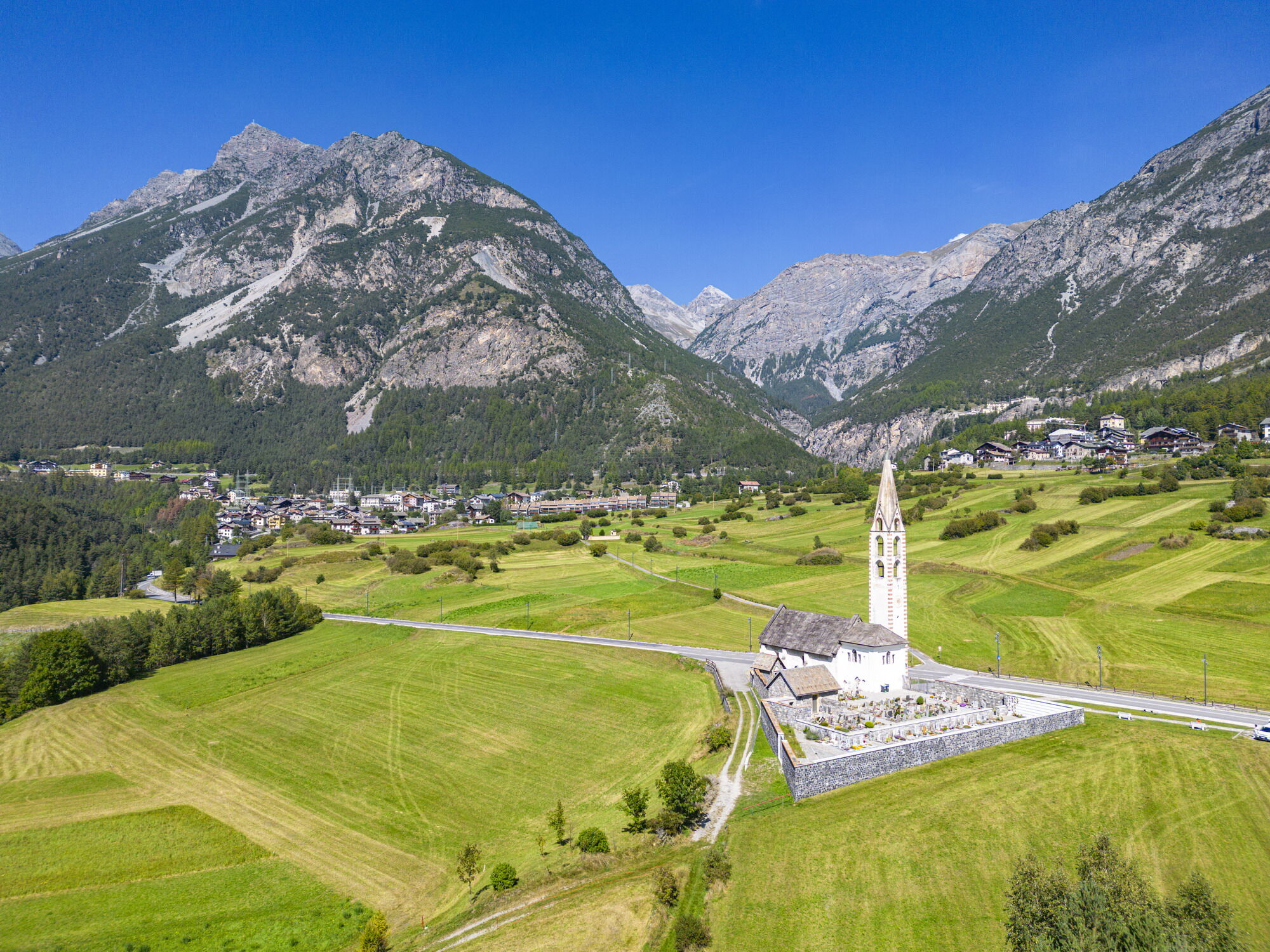
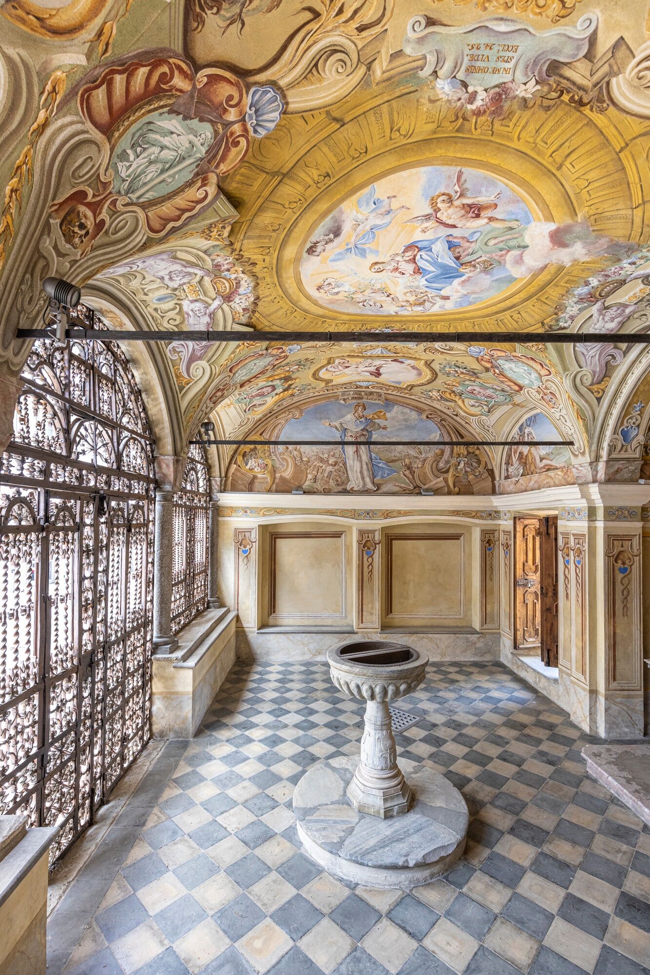
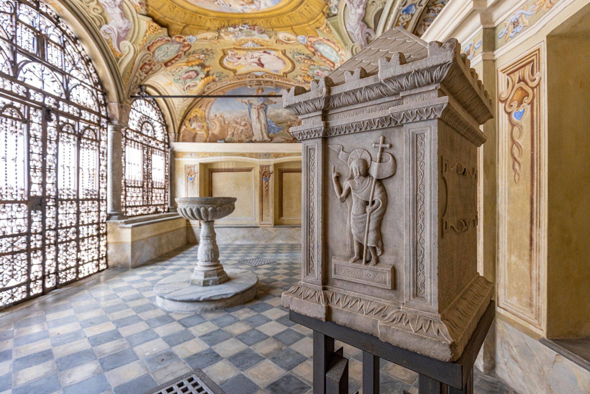
The path continues in the Cadolena Valley, then descends to Cepina, where there is the Church of Santa Maria Assunta, founded in 1356 and expanded in the Renaissance. From that time remain a fresco from 1498 and a precious Tyrolean-style winged altar (1510-1520). Next to the church is a refined 18th-century ossuary with wrought iron fencing and frescoes by Alessandro Valdani (1739).

Follow the signs with our unmistakable blue signpost.
T1
Získejte přehled
Vždy živě na místě s více než 9 500 webkamerami. bergfex Jako uživatel Pro si nyní můžete zobrazit odpovídající webové kamery pro mnoho prohlídek v aplikaci prohlídky z. Můžete si tak přímo prohlédnout aktuální podmínky.
Oblíbené prohlídky v okolí
-
3.7
Payerhütte 3020m
Turistika 6.98 km -
4.5
Sonnenaufgang auf der Rötelspitze im Nationalpark Stilfserjoch
Turistika 2.02 km -
5.0
Wanderung/Aufstieg zur Payerhütte
světloTuristika 15.9 km -
5.0
Ortler über Meraner Weg (vom Tal/Trafoi)
heavyVysokohorská turistika 11.9 km -
4.3
Ortler – Normalweg
heavyVysokohorská turistika 7.30 km -
3.5
Watervallen wandeling
světloTuristika 4.95 km -
5.0
Ortler über Hintergrat
heavyVysokohorská turistika 8.03 km -
3.4
Sta.Maria, Prà da Vau - Lai da Rims - Alp Sot - Prà da Vau
heavyTuristika 14.7 km -
4.8
Wanderung: Heilige drei Brunnen zur Berglhütte
světloTuristika 5.51 km -
1.0
Tabarettahütte 2555m zur Payerhütte 3020m
Turistika 3.82 km
Pěší turistika a stopování


Nenechte si ujít nabídky a inspiraci pro vaši příští dovolenou
Vaše e-mailová adresa byl přidán do poštovního seznamu.





