






Tour of Monte Foscagno
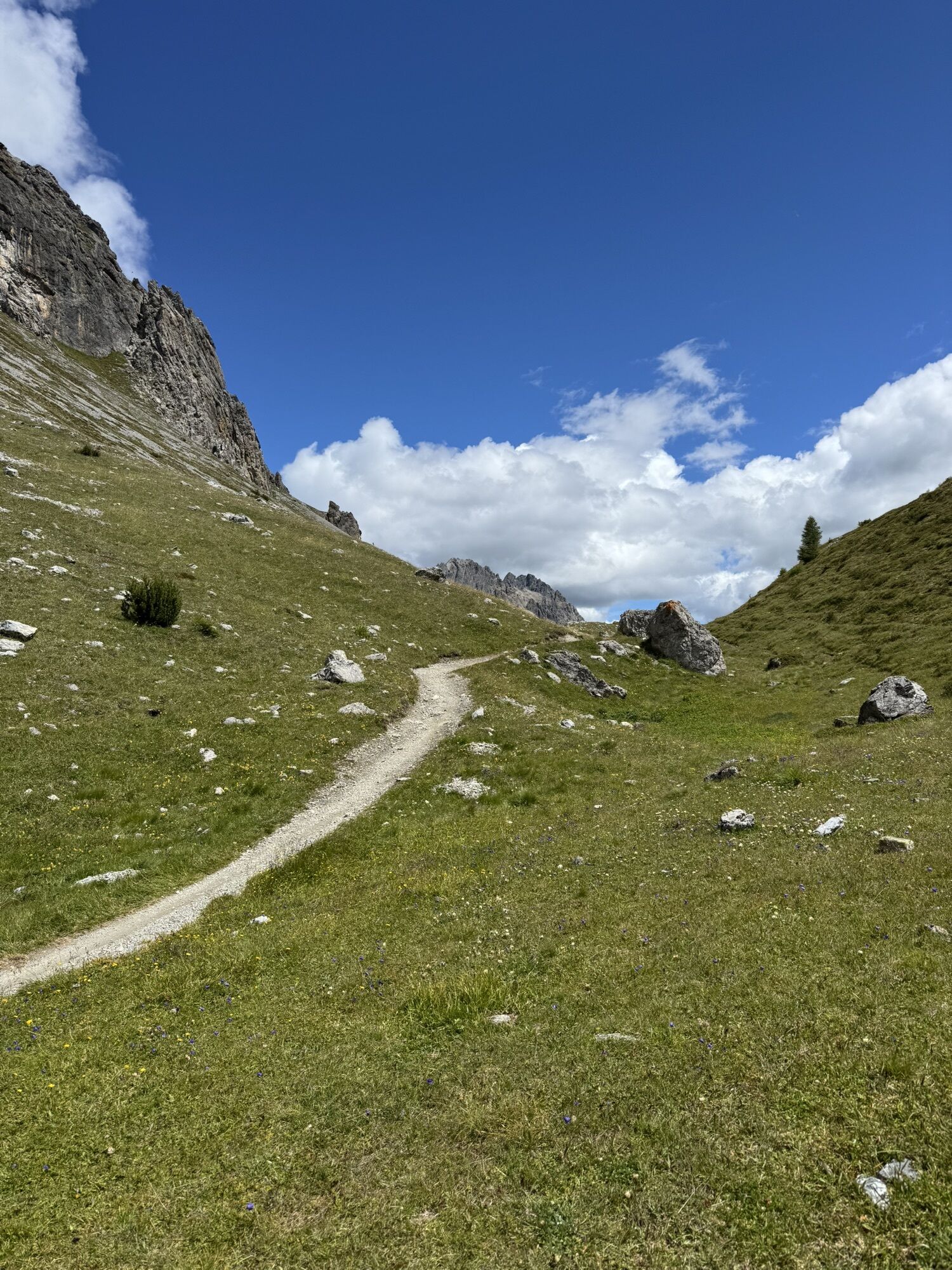
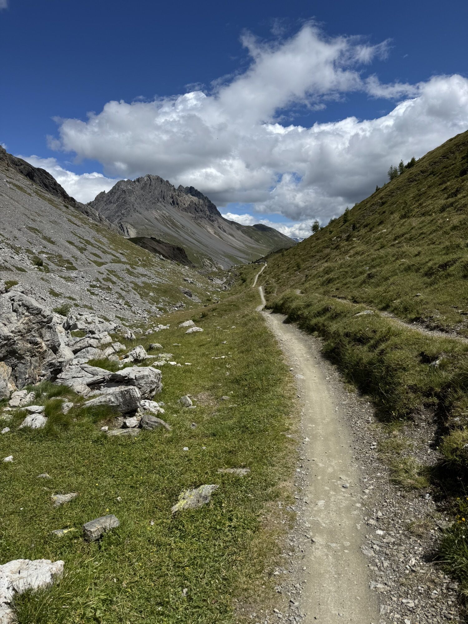
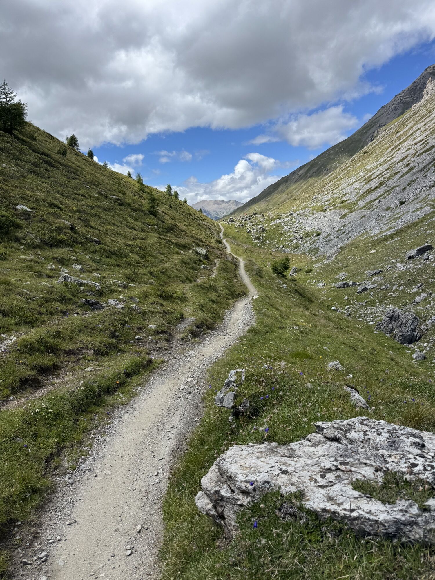
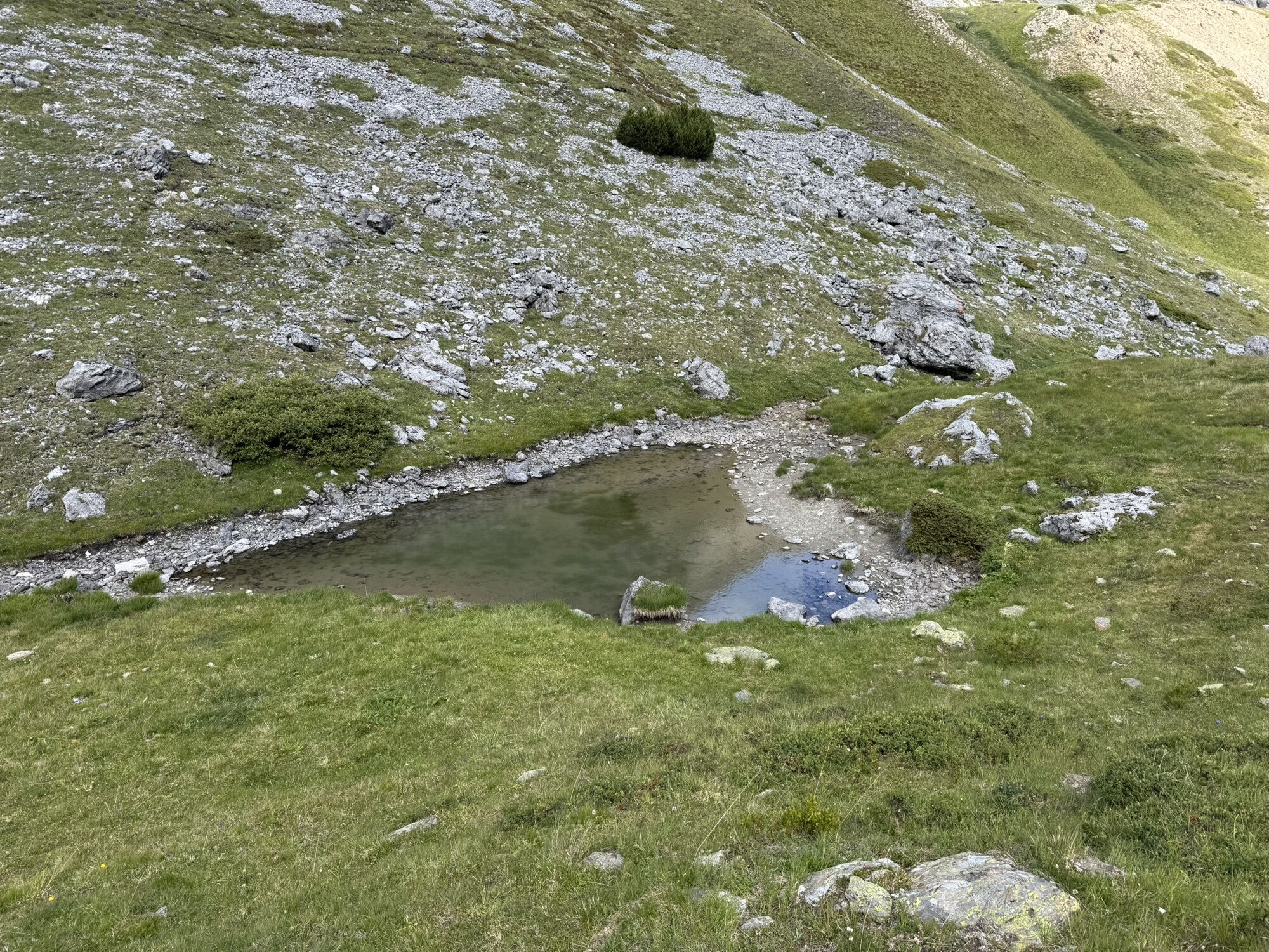
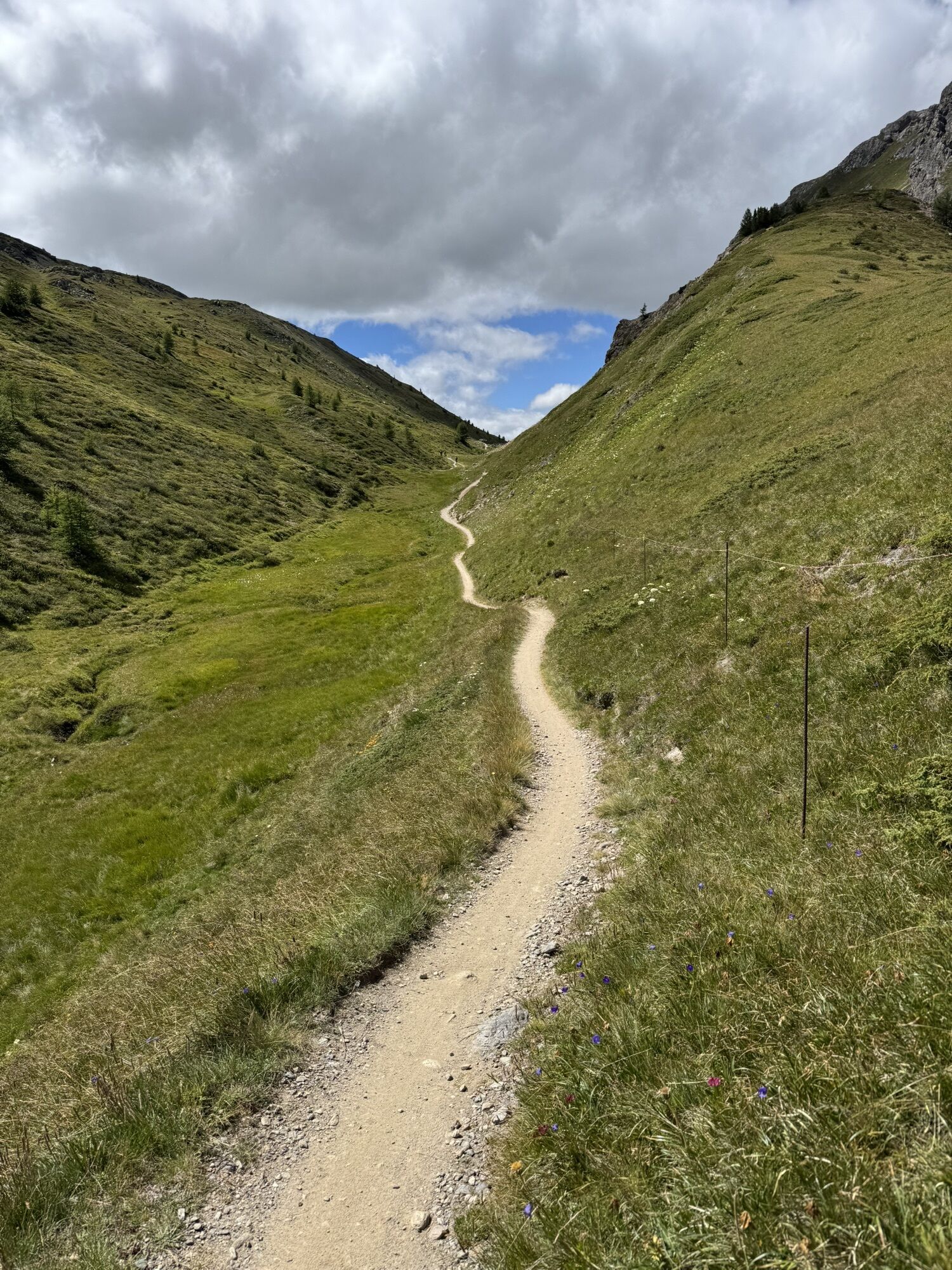
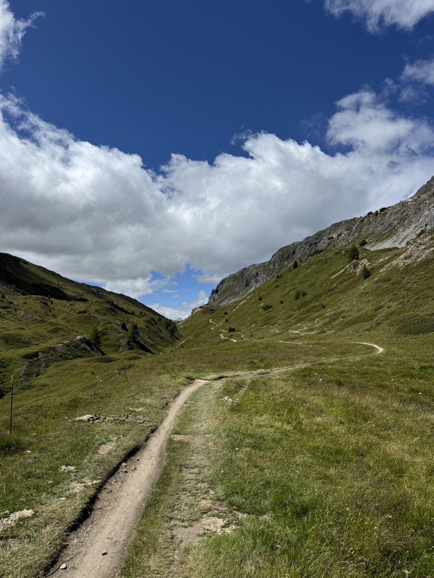
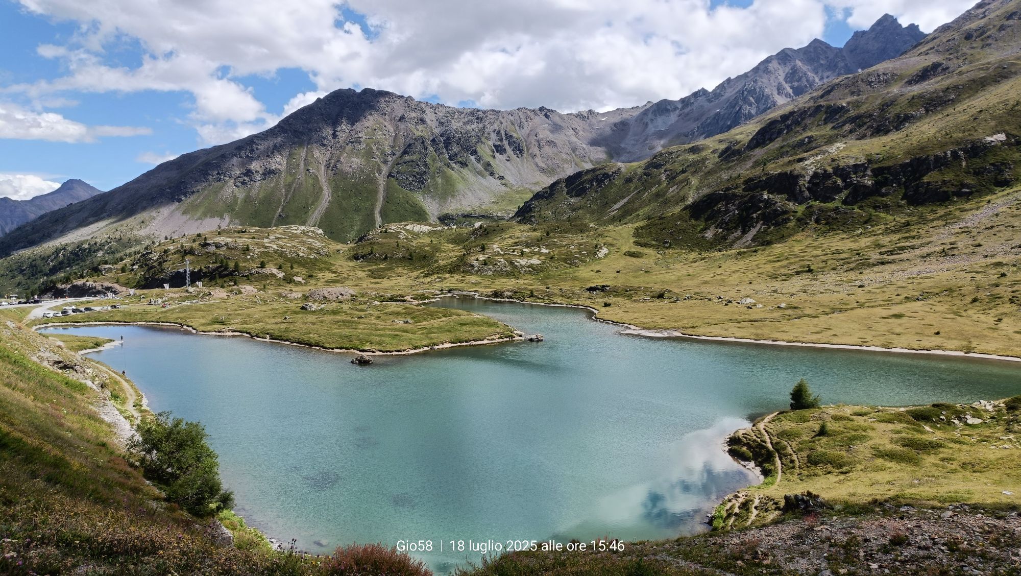
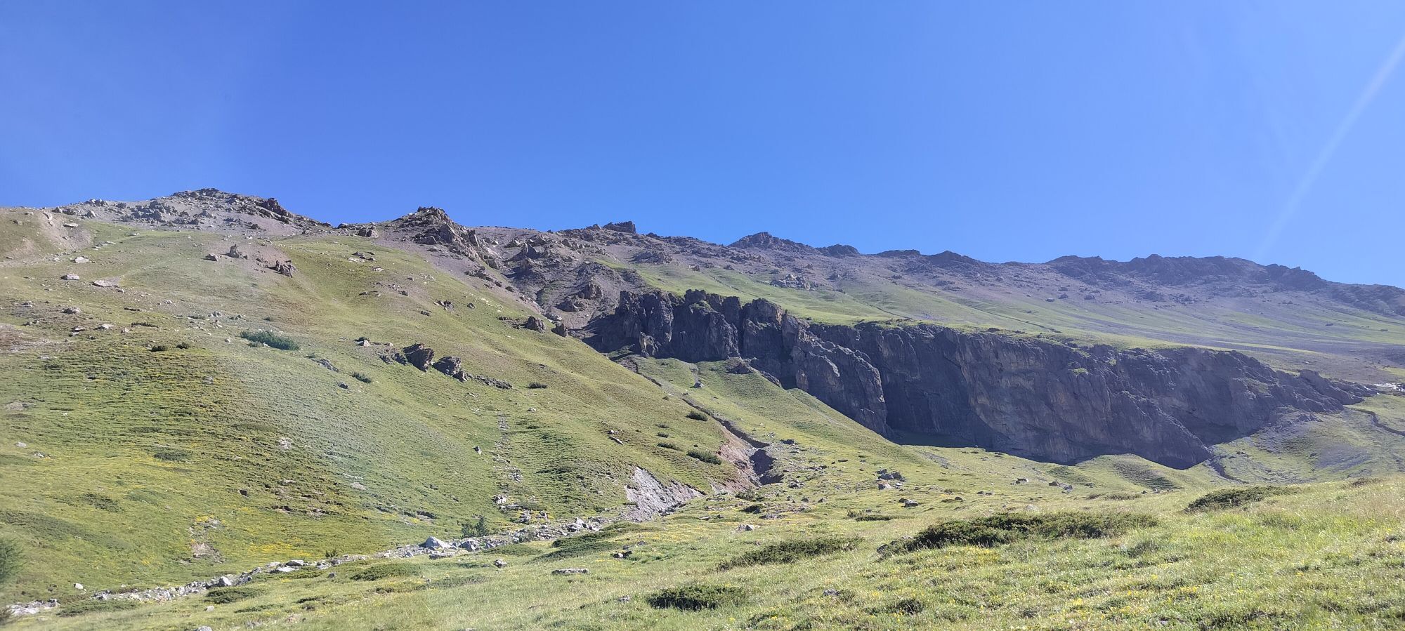

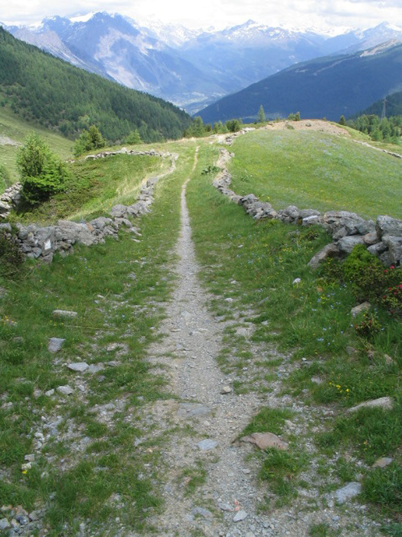
From the Foscagno lake in the Angelina area, starts the trail N186 which initially descends through a path bordered by characteristic stone walls to the Foscagno Hut and then continues along a jeep track...
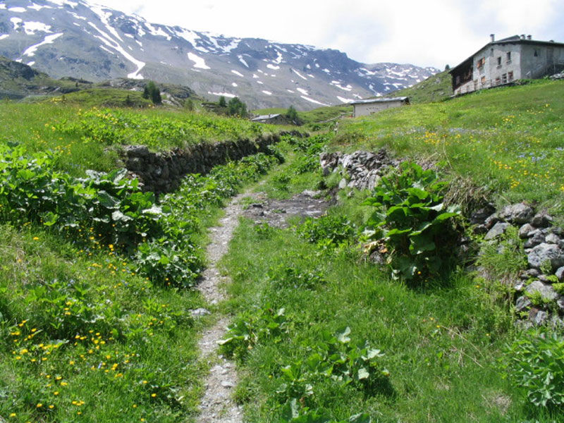
From the Foscagno lake in the Angelina area, starts the trail N186 which initially descends through a path bordered by characteristic stone walls to the Foscagno Hut and then continues along a jeep track running through the Foscagno Valley, touching rare isolated houses. At Pian dell'Acqua, continue left along the flat N195 decauville road connecting Arnoga to Cancano. After passing the Gattonino area, ascend along the N196 road leading to Val Vezzola. After crossing the valley, you reach a junction; continue right on trail N130 towards Malga di Trela, where you can stop to taste typical Valtellina dishes. Continue on trail N136 which leads to Passo Val Trela and descends to Tea de Pi'la in Trepalle. This section of trail is also called the 'smugglers' path' because it was used in the past by couriers carrying coffee and tobacco. Through trails N127 and N129, cross halfway up Monte Rocca and return to the Foscagno Pass.
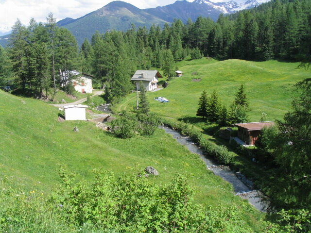
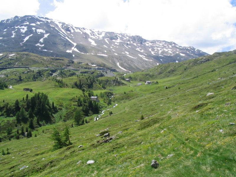
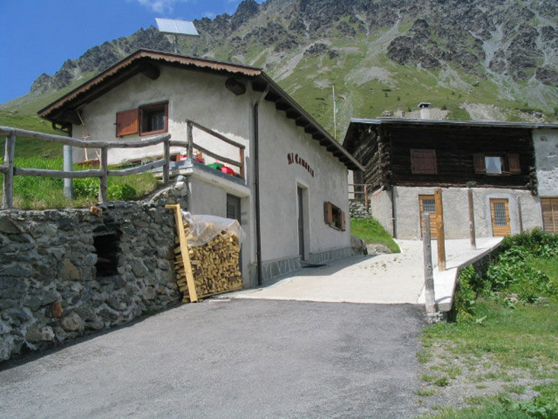
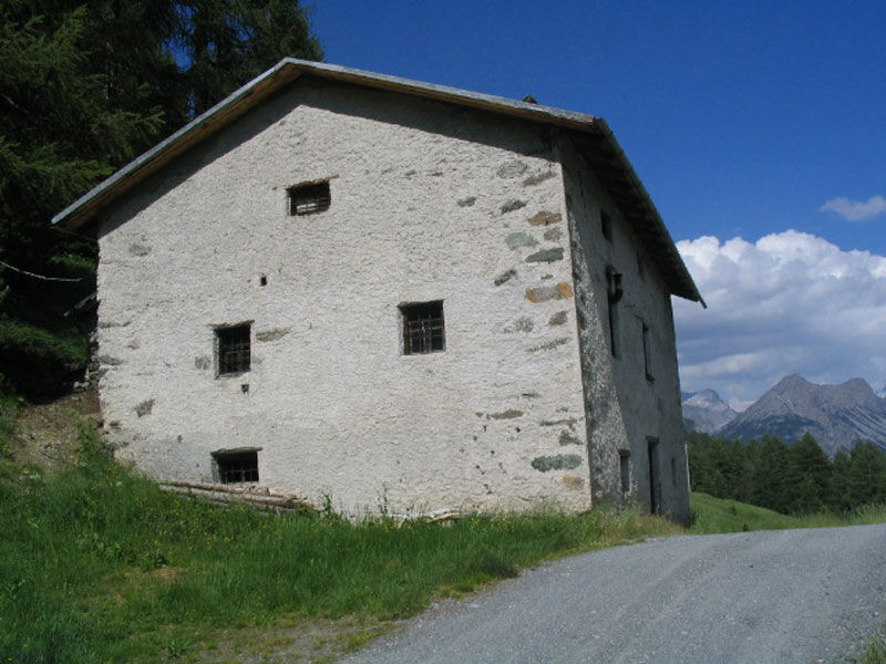
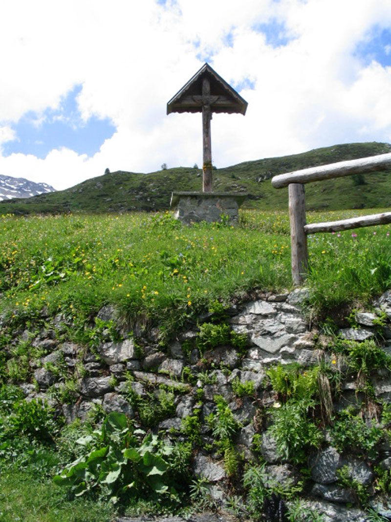
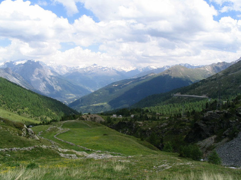
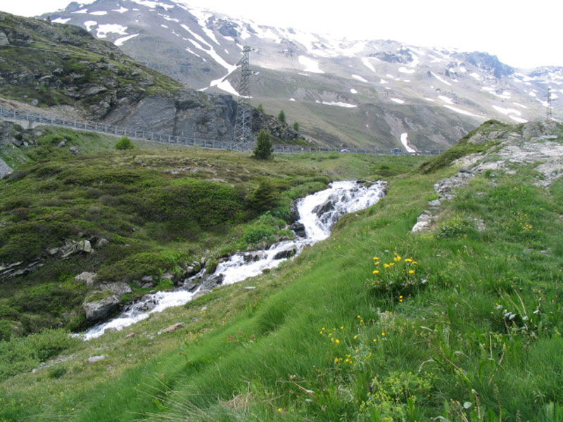
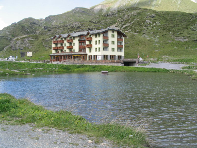
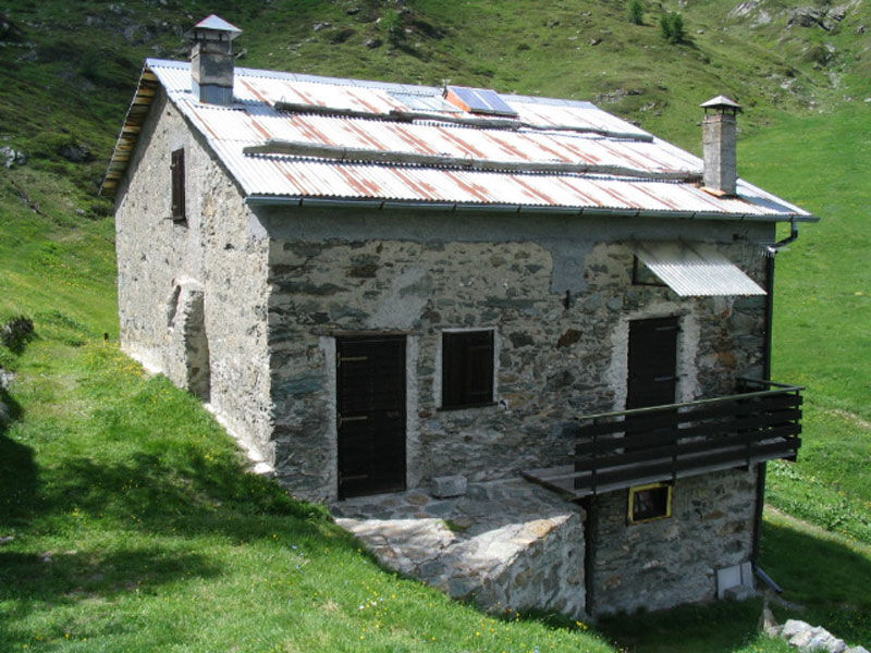
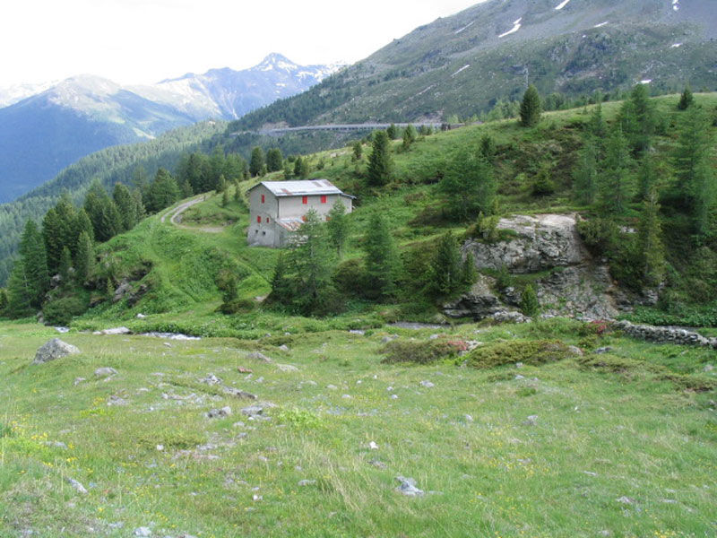
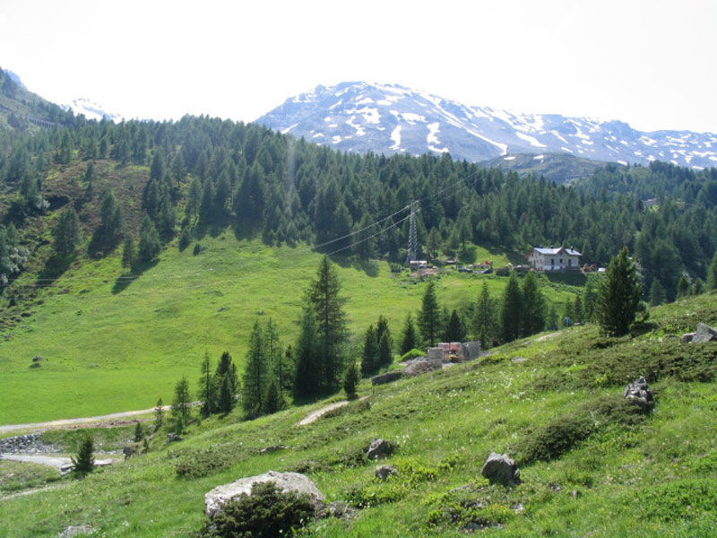
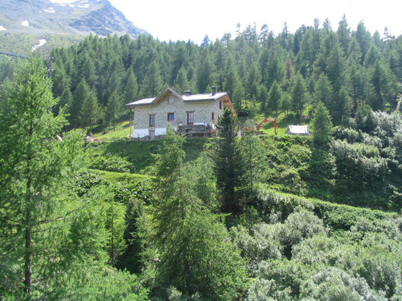

The Foscagno Pass is the only vehicular access from Italy to the Livigno duty-free area, where the Guardia di Finanza is permanently stationed. The road was built before the Great War for military reasons. Only starting from the 1950s was it passable in winter as well.
Webové kamery z prohlídky
-
Mottolino
-
Monte Della Neve
-
Livigno - Mottolino
-
Mottolino - Bike Park
-
Livigno Ski School Area
-
Livigno
-
Livigno - Crap
-
Livigno
-
Livigno Teola
-
Livigno - Hotel Primula
-
Livigno Ortszentrum
-
Livigno
-
Livigno Centro | Livigno Town Center
-
SnowFarm
-
Livigno Centro | Livigno Town Center
-
SnowFarm
-
Centro Sci Fondo | Cross Country Stadium
-
Scuola Sci Centrale
-
Scuola Sci Centrale
-
Scuola Sci Centrale
-
Scuola Sci Centrale
-
Scuola Sci Centrale
-
Scuola Sci Centrale
Získejte přehled
Vždy živě na místě s více než 9 500 webkamerami. bergfex Jako uživatel Pro si nyní můžete zobrazit odpovídající webové kamery pro mnoho prohlídek v aplikaci prohlídky z. Můžete si tak přímo prohlédnout aktuální podmínky.
Oblíbené prohlídky v okolí
-
3.4
Sta.Maria, Prà da Vau - Lai da Rims - Alp Sot - Prà da Vau
heavyTuristika 14.7 km -
5.0
Crap da la Pare' with Joëlette
světloTuristika 4.58 km -
5.0
Val Nera Waterfalls
světloTuristika 5.70 km -
4.2
Val Federia Livigno
středníElektrokola 26.5 km -
5.0
444.02: Nationalpark Bike-Tour 2. Etappe
heavyMountainbike 39.6 km -
3.0
Val Mora - A sense of the Canadian wilderness
středníTuristika 21.6 km -
4.5
Süsom Givè - Il Jalet - Süsom Givè (long circular hike)
středníTuristika 8.68 km -
Lai da Rims - shorter version
středníTuristika 9.70 km -
Mount of Mines
středníLyžařská trasa 4.78 km -
Val da Camp (724)
středníTuristika 5.33 km
Pěší turistika a stopování


Nenechte si ujít nabídky a inspiraci pro vaši příští dovolenou
Vaše e-mailová adresa byl přidán do poštovního seznamu.





