


Ortler High Route
Úroveň obtížnosti: T4
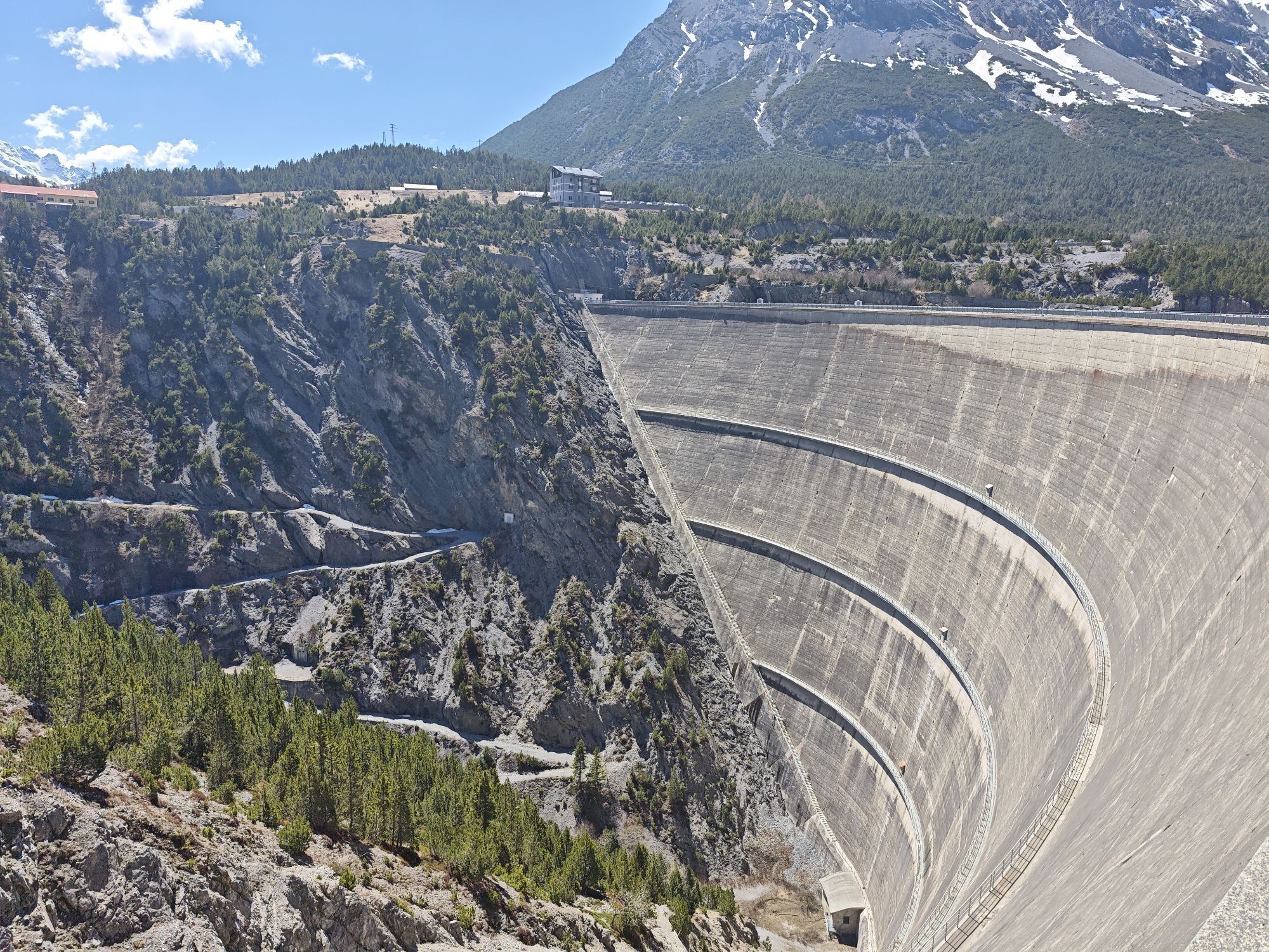
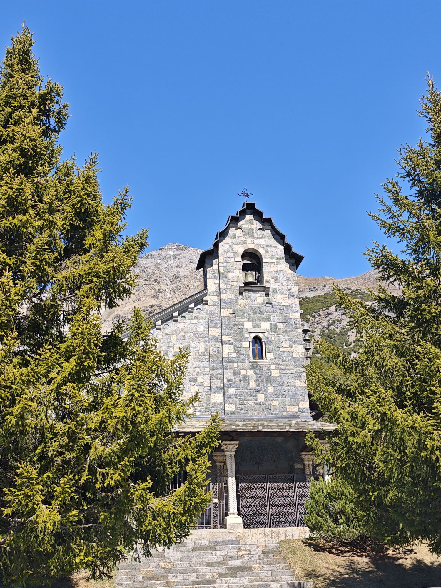
Fotografie našich uživatelů
 © Giacomo BrambillaVytvořeno dne 01.05.2026
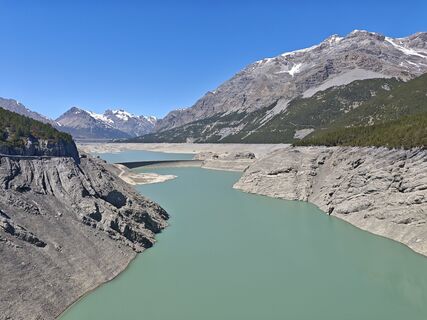 © Giacomo BrambillaVytvořeno dne 01.05.2026
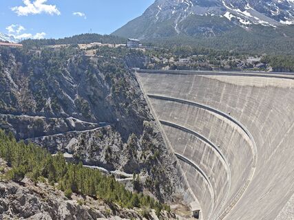 © Giacomo BrambillaVytvořeno dne 01.05.2026
 © Giacomo BrambillaVytvořeno dne 01.05.2026
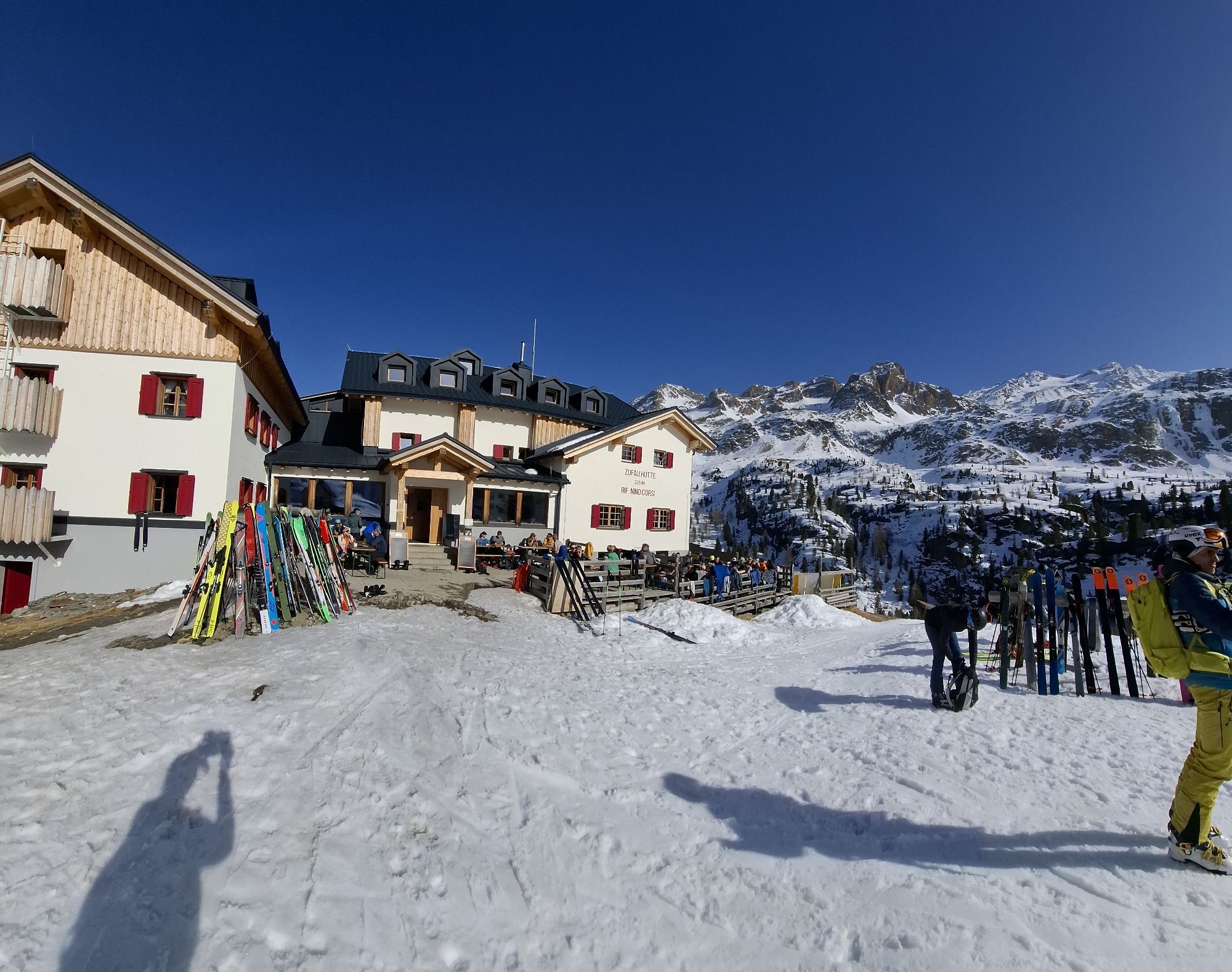
 © AndilarcherVytvořeno dne 07.03.2026
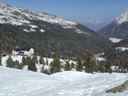 © AndilarcherVytvořeno dne 07.03.2026
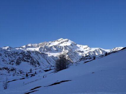 © AndilarcherVytvořeno dne 07.03.2026
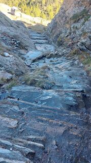 © Otten0408Vytvořeno dne 08.10.2025
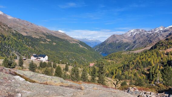 © Otten0408Vytvořeno dne 08.10.2025
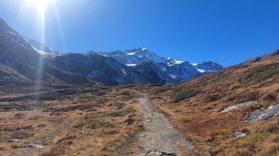 © Otten0408Vytvořeno dne 08.10.2025
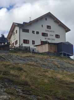
 © Meini 04Vytvořeno dne 10.09.2025
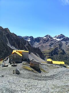
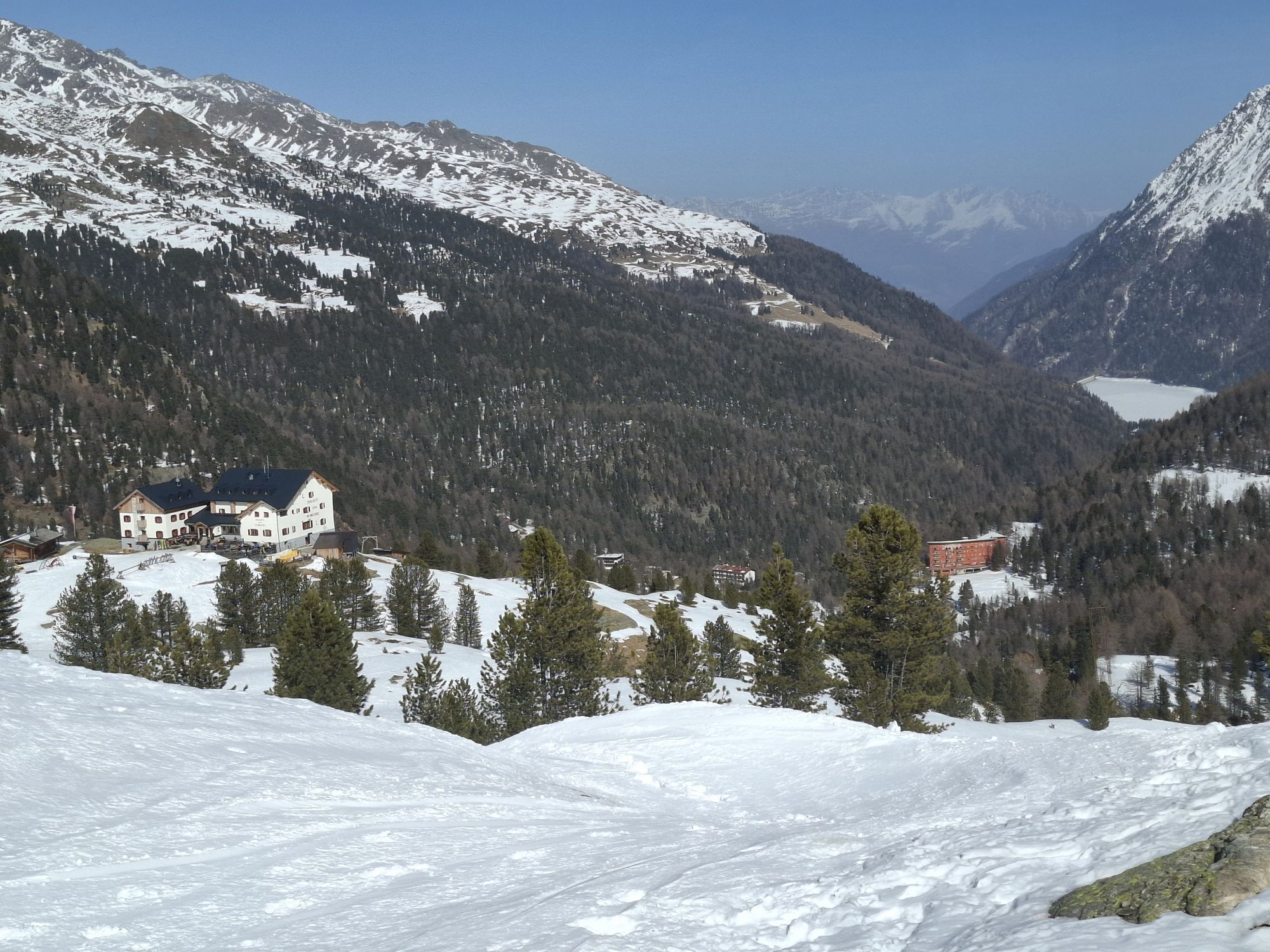
 © Gabriele RavasiVytvořeno dne 31.08.2025
 © Gabriele RavasiVytvořeno dne 31.08.2025
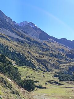 © Gabriele RavasiVytvořeno dne 31.08.2025
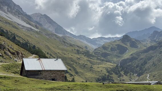 © Claudio GarzettiVytvořeno dne 19.08.2025
 © Claudio GarzettiVytvořeno dne 19.08.2025
 © Claudio GarzettiVytvořeno dne 19.08.2025
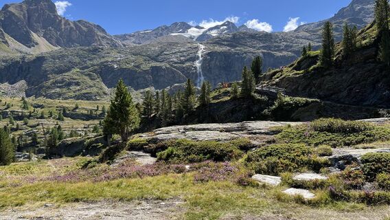
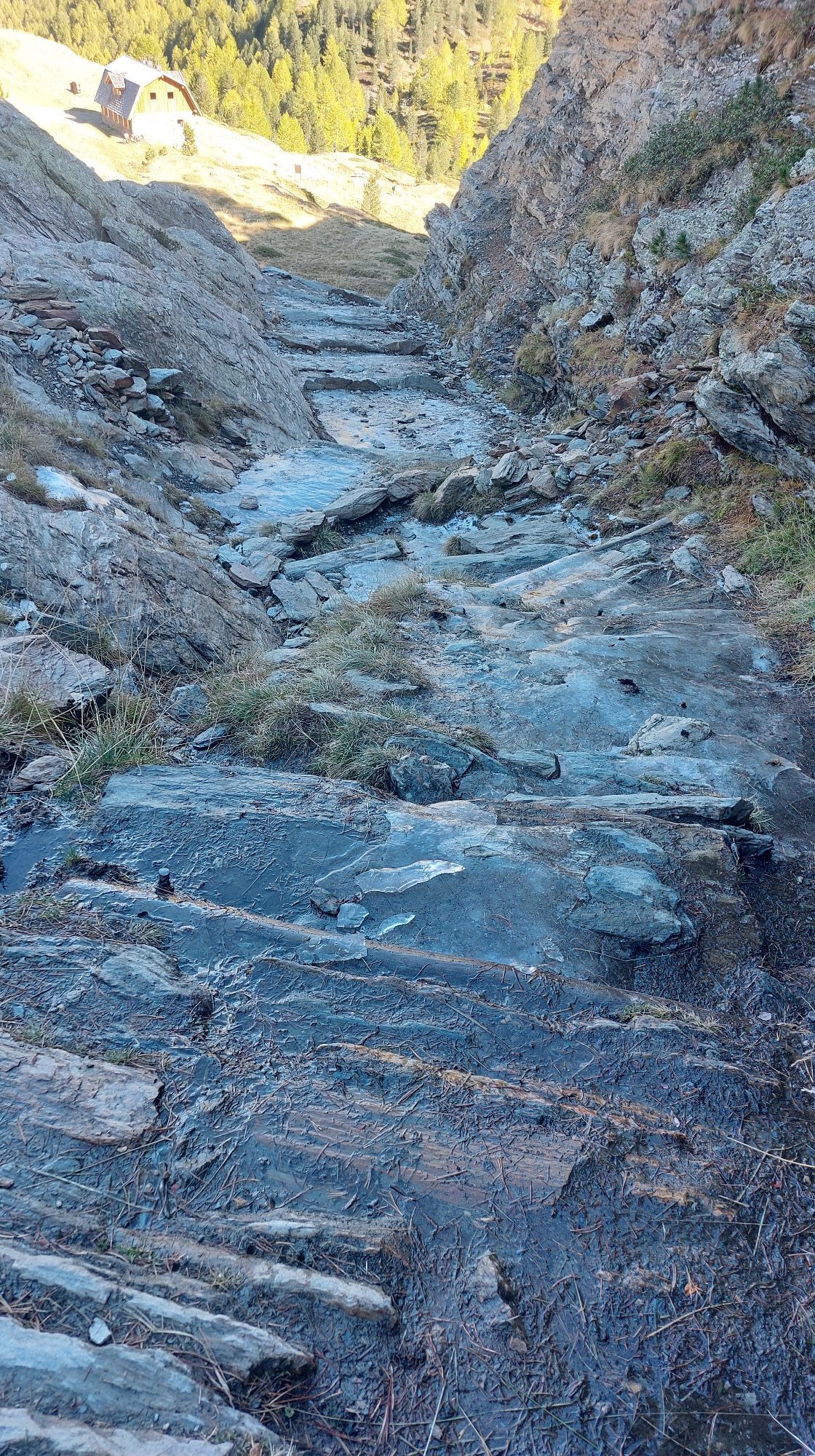
 © PezzottaVytvořeno dne 18.08.2025
 © PezzottaVytvořeno dne 18.08.2025
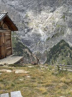
 © Davide GorlaVytvořeno dne 13.08.2025
 © Davide GorlaVytvořeno dne 13.08.2025
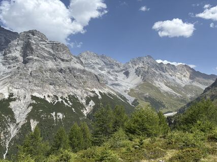 © Davide GorlaVytvořeno dne 13.08.2025
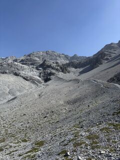 © Davide GorlaVytvořeno dne 13.08.2025
 © Davide GorlaVytvořeno dne 13.08.2025
 © Davide GorlaVytvořeno dne 13.08.2025
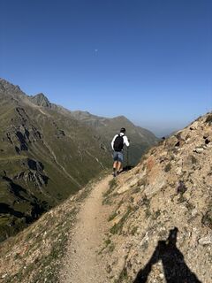 © Davide GorlaVytvořeno dne 13.08.2025
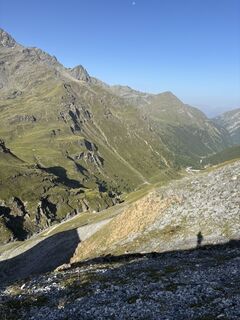 © Davide GorlaVytvořeno dne 13.08.2025
 © Davide GorlaVytvořeno dne 13.08.2025
 © Davide GorlaVytvořeno dne 13.08.2025
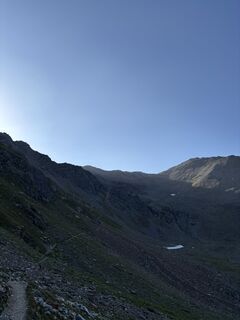 © Davide GorlaVytvořeno dne 13.08.2025
 © Davide GorlaVytvořeno dne 13.08.2025
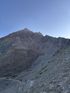 © Davide GorlaVytvořeno dne 13.08.2025
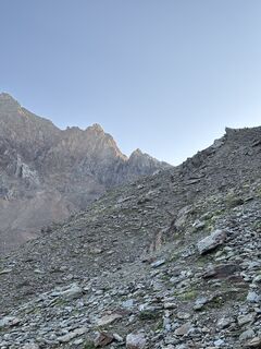 © Davide GorlaVytvořeno dne 13.08.2025
 © Davide GorlaVytvořeno dne 13.08.2025
 © Davide GorlaVytvořeno dne 13.08.2025
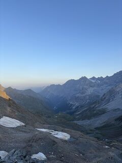 © Davide GorlaVytvořeno dne 13.08.2025
 © Maurizio Dell'acquaVytvořeno dne 11.08.2025
 © Maurizio Dell'acquaVytvořeno dne 11.08.2025
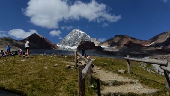 © Maurizio Dell'acquaVytvořeno dne 10.08.2025
 © Maurizio Dell'acquaVytvořeno dne 10.08.2025
 © Maurizio Dell'acquaVytvořeno dne 10.08.2025
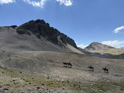
 © Roberto PasoliniVytvořeno dne 09.08.2025
 © Roberto PasoliniVytvořeno dne 09.08.2025
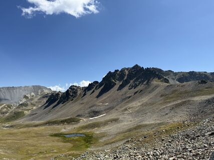 © Roberto PasoliniVytvořeno dne 09.08.2025
 © Roberto PasoliniVytvořeno dne 09.08.2025
 © Maurizio Dell'acquaVytvořeno dne 08.08.2025
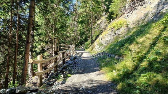 © Maurizio Dell'acquaVytvořeno dne 05.08.2025
 © Maurizio Dell'acquaVytvořeno dne 05.08.2025


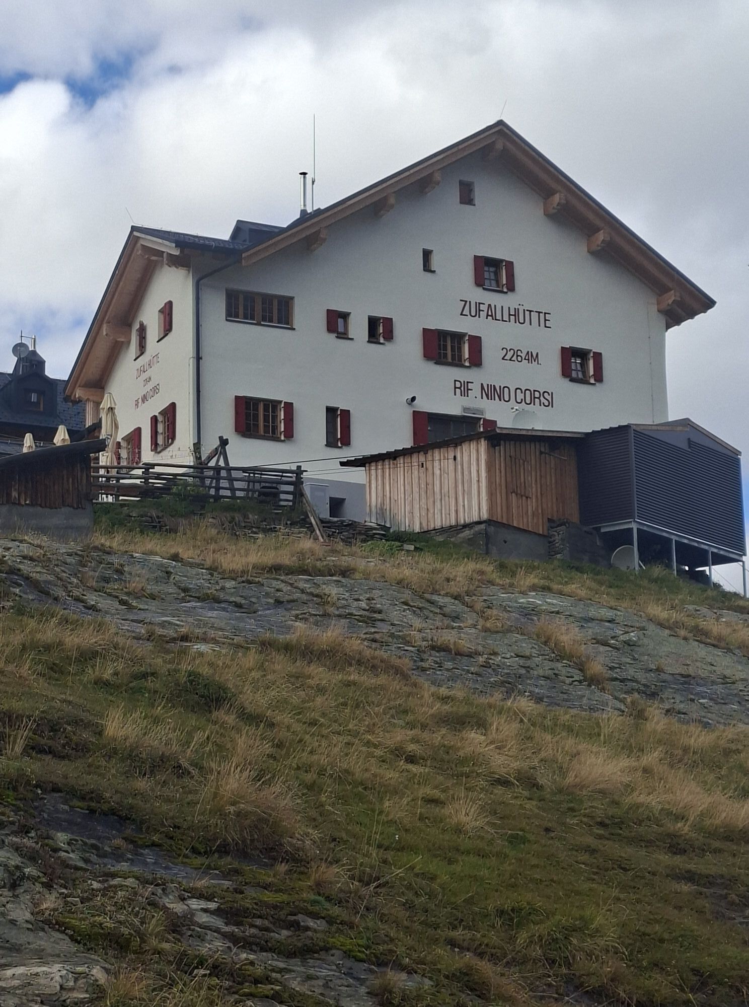
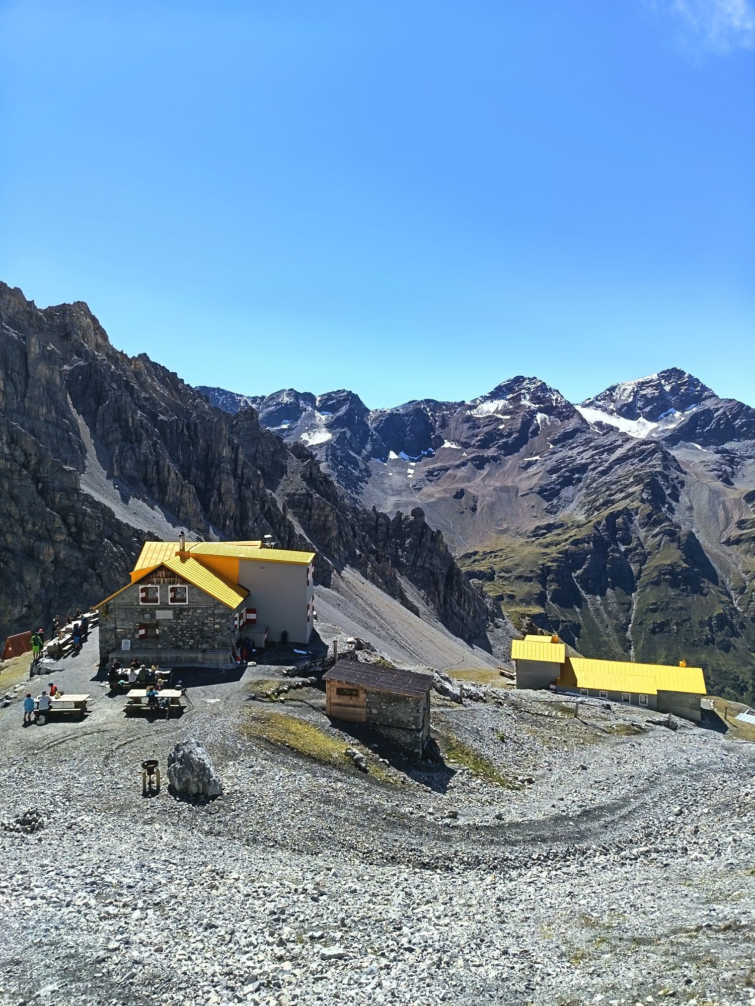
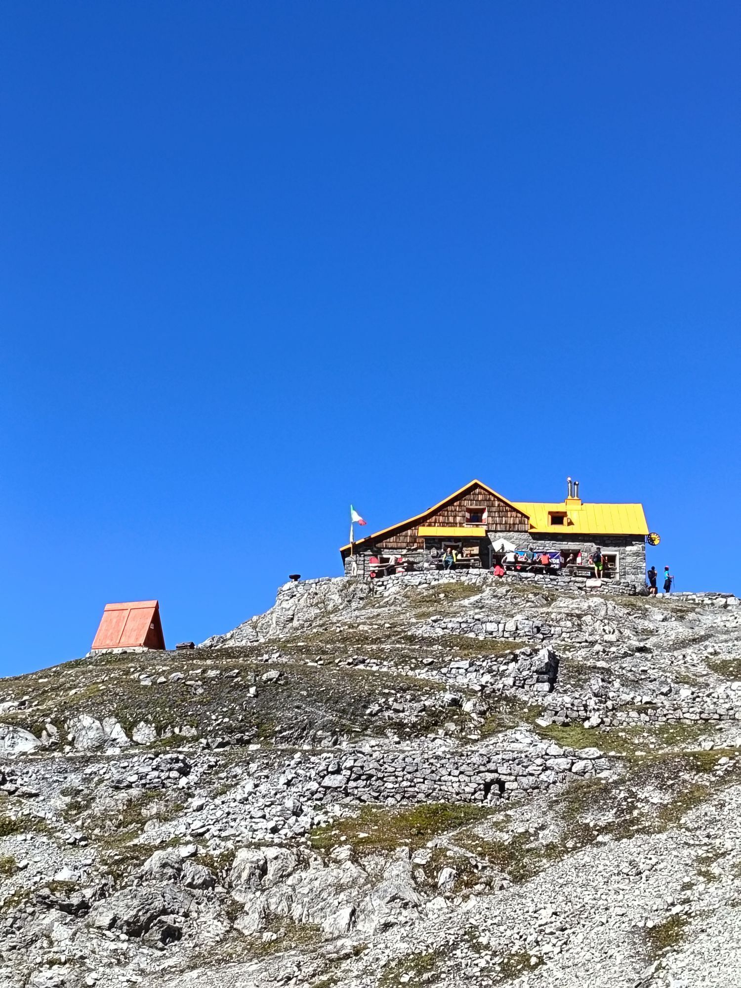


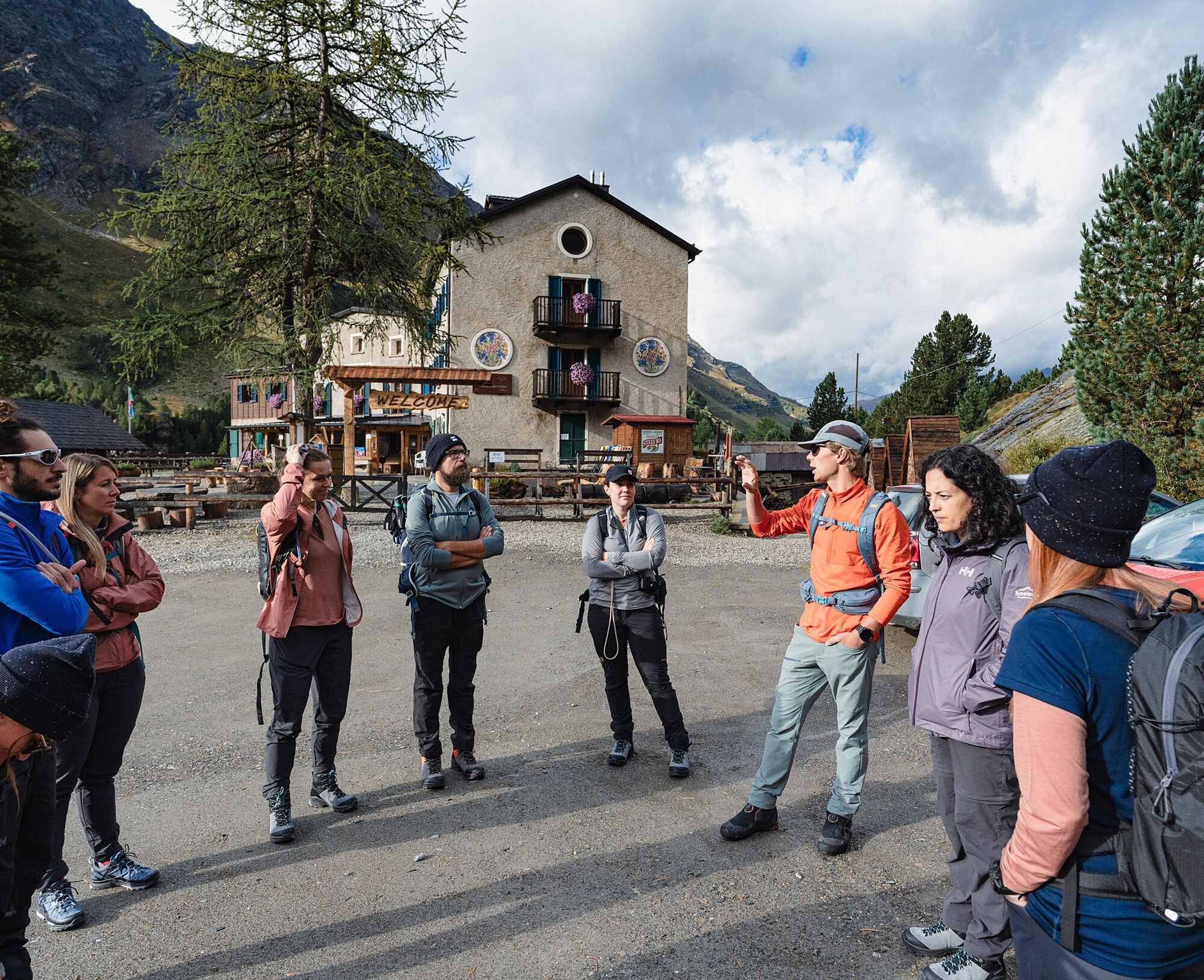
The route is generally covered in 7 stages, with overnight stays in mountain huts along the way. Advance reservations are recommended, especially in the summer months. The best time to tackle the Ortler...
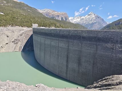
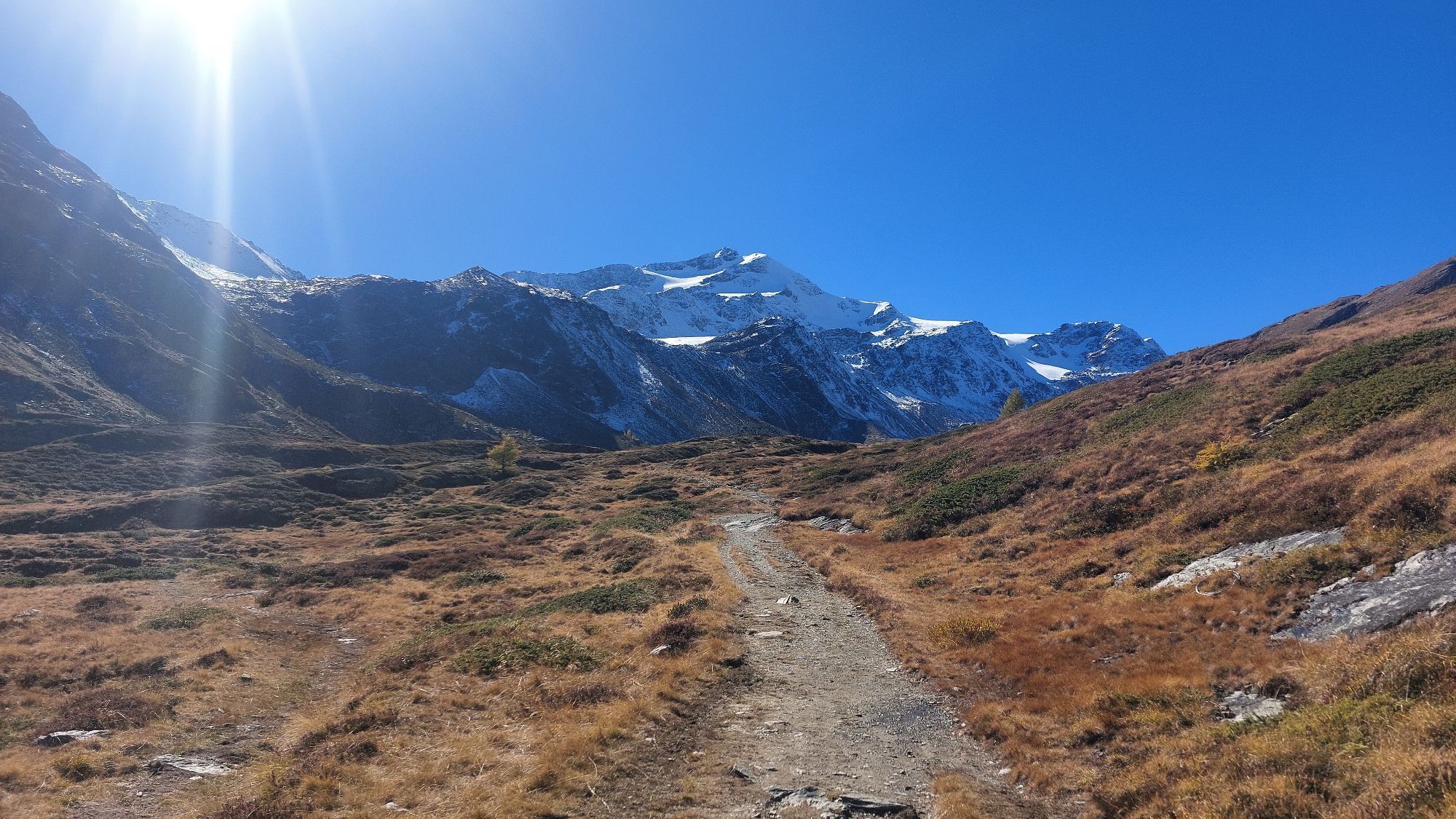
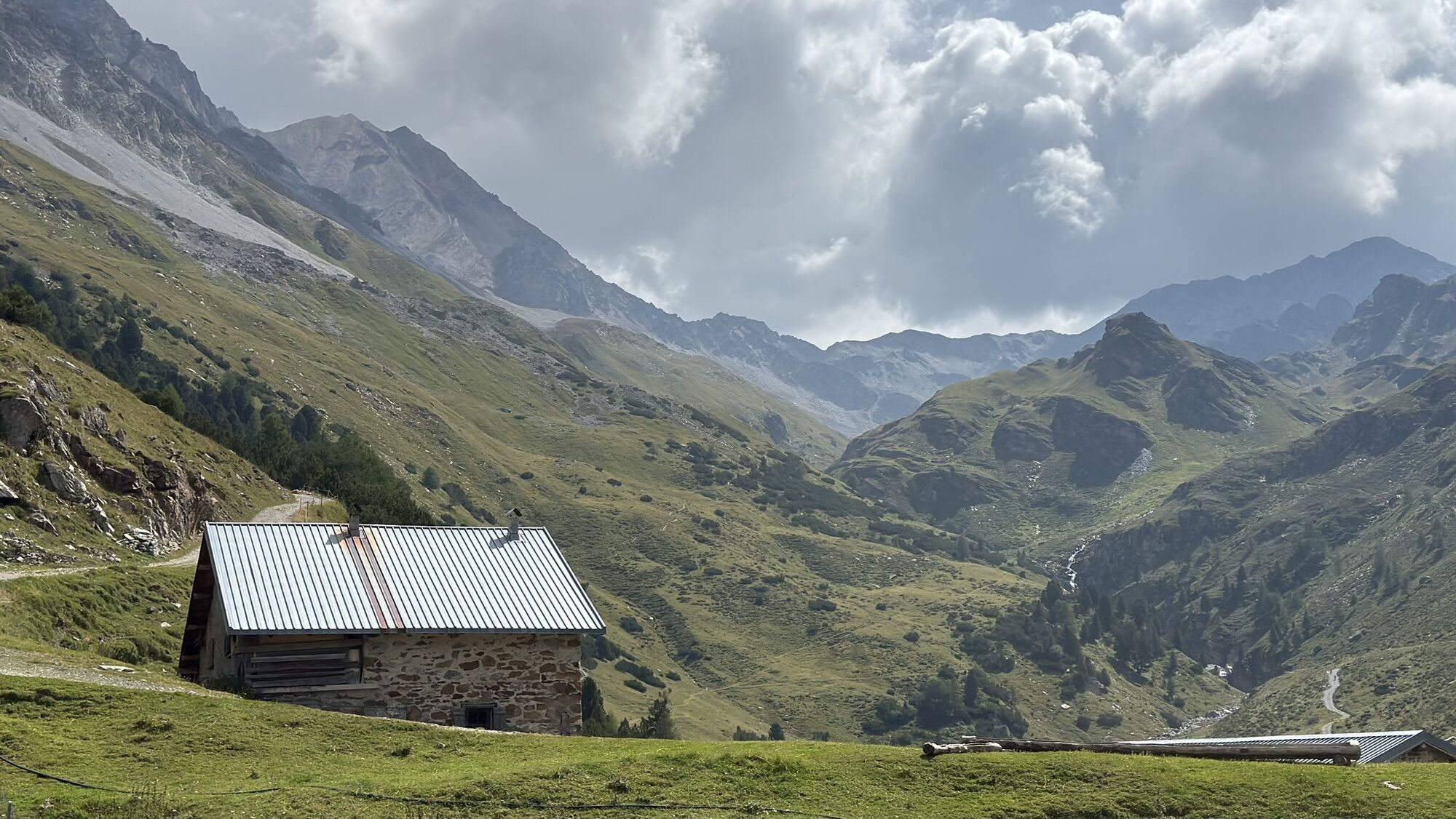
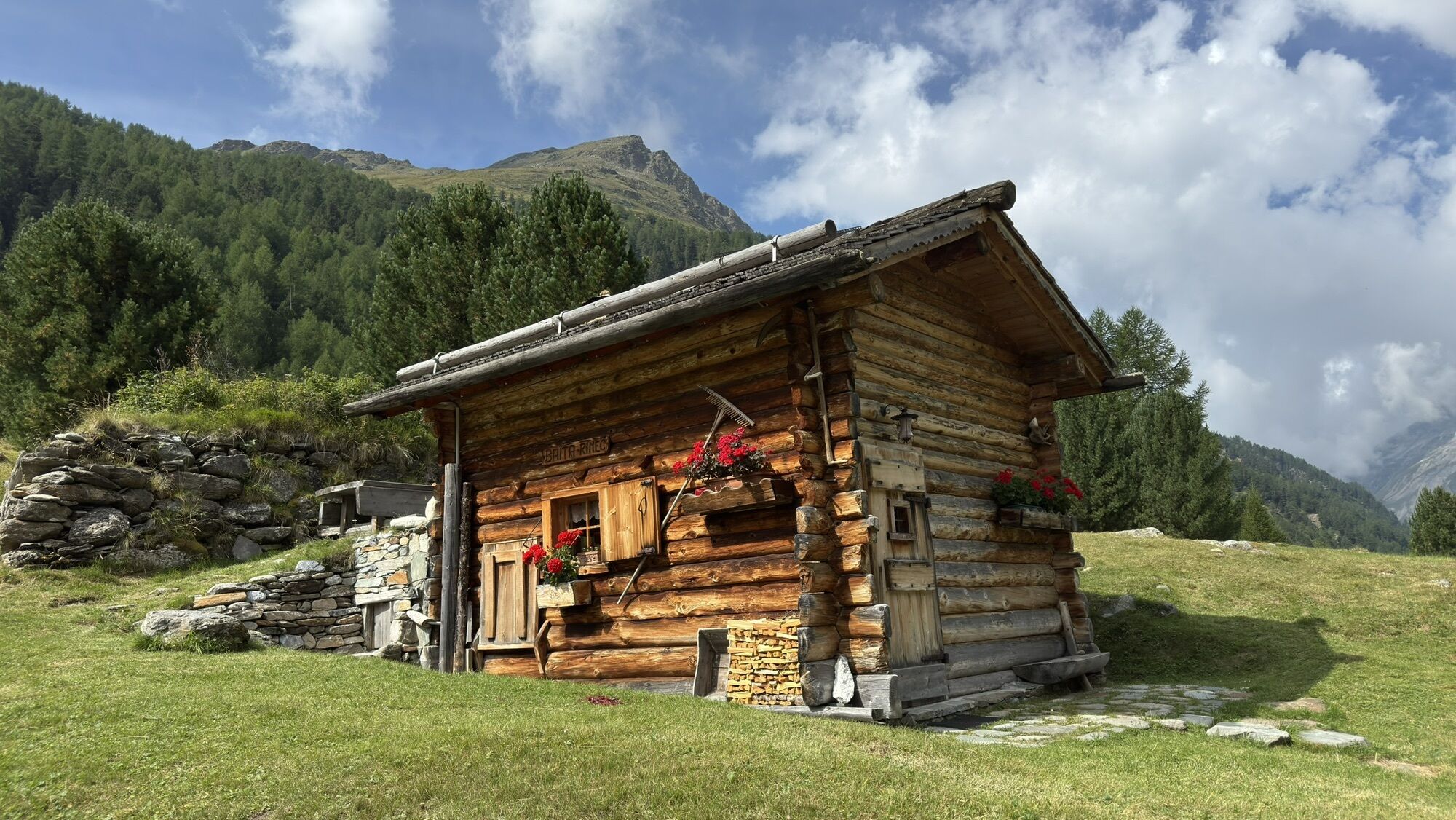
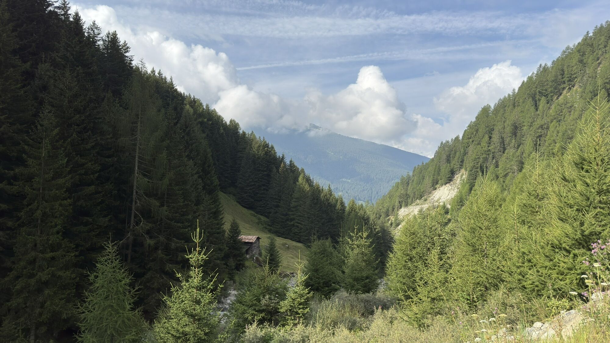
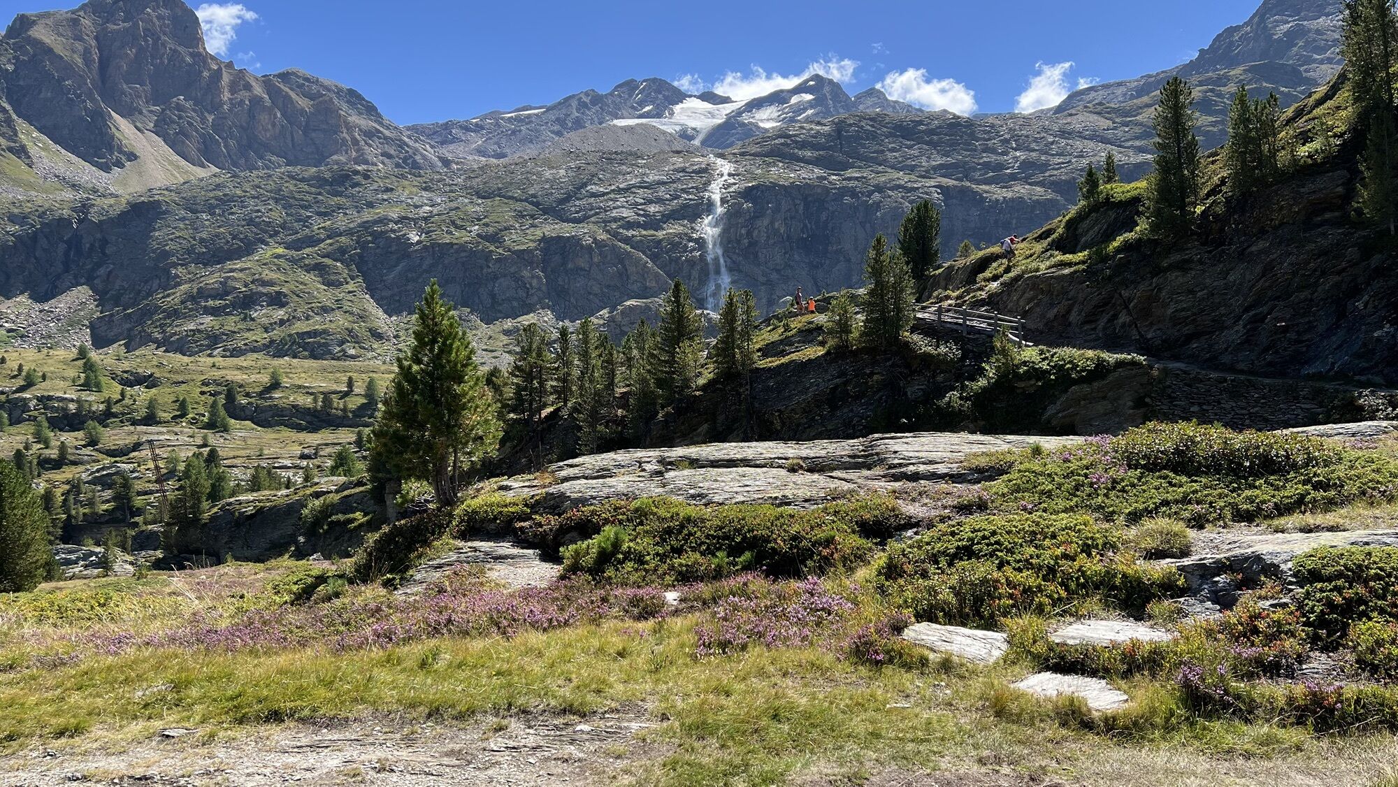
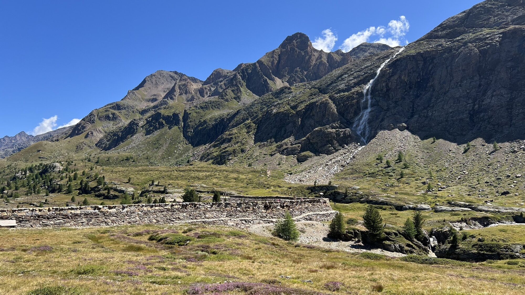
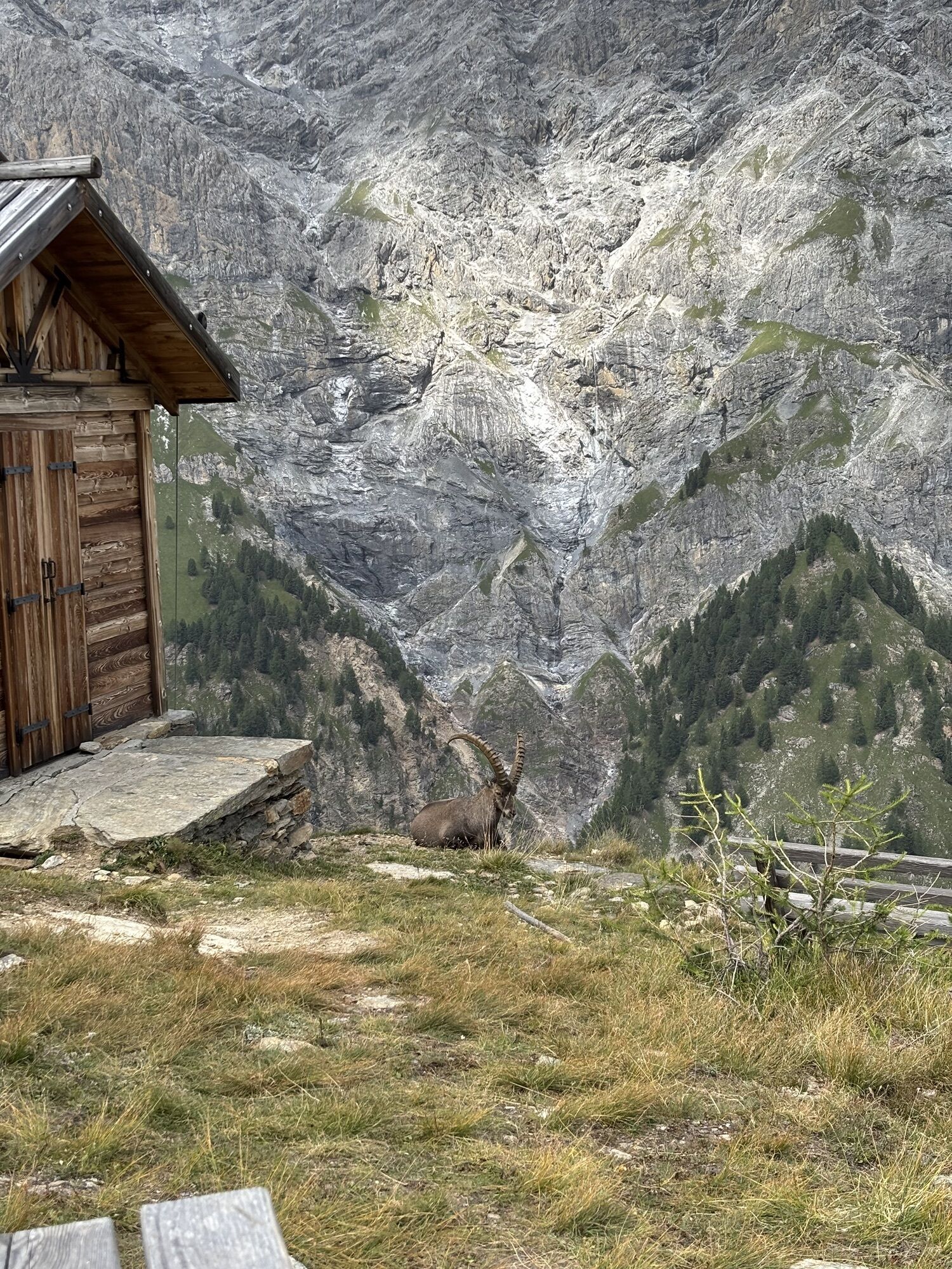
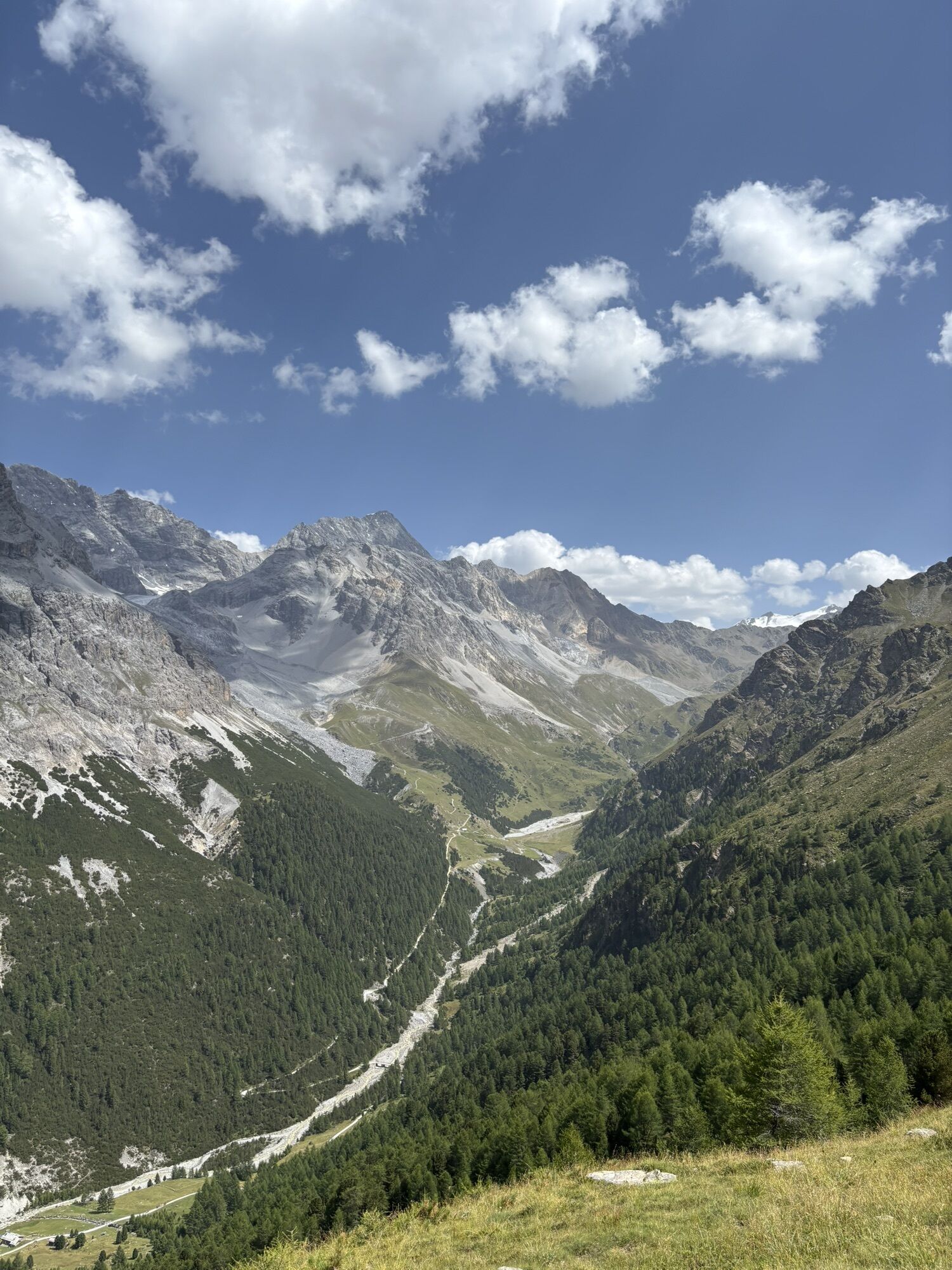
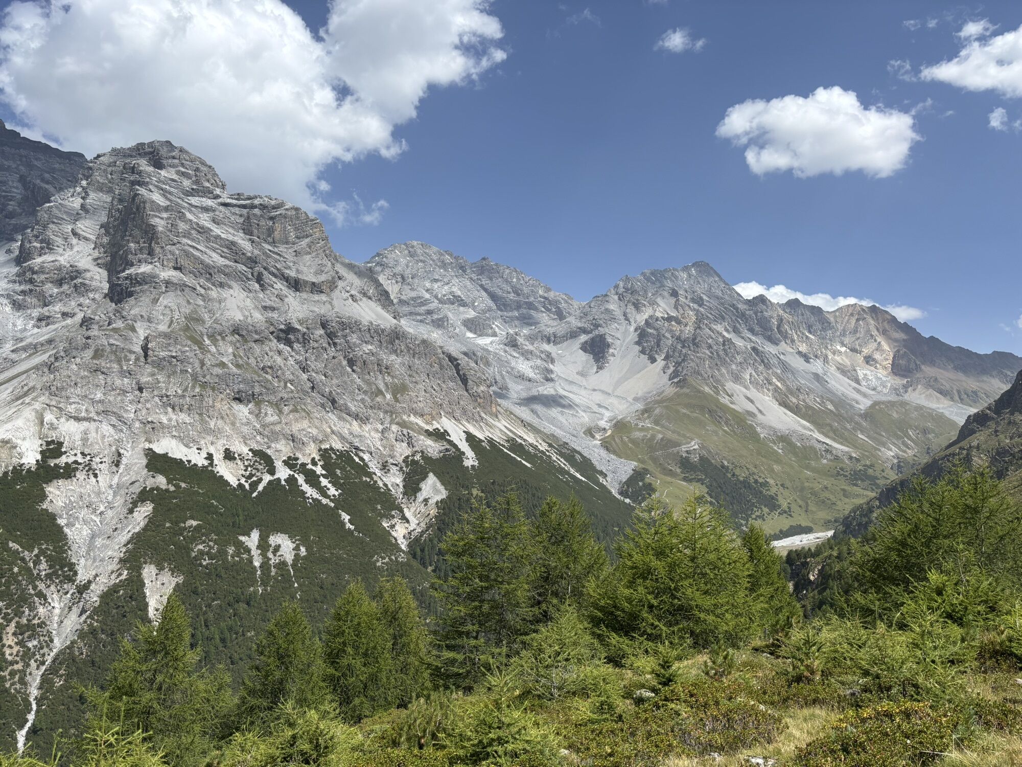
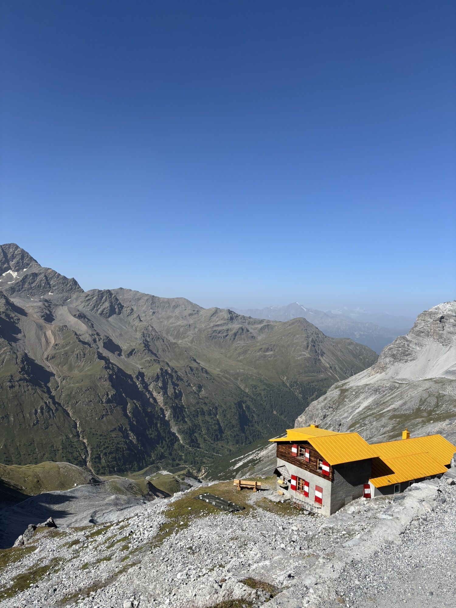
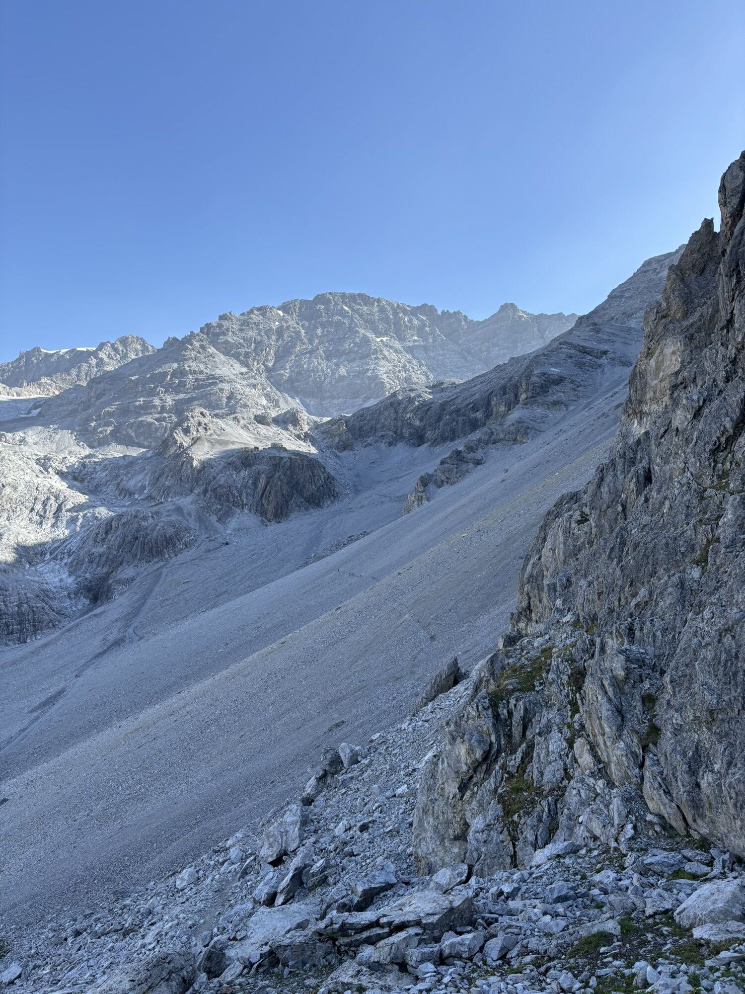
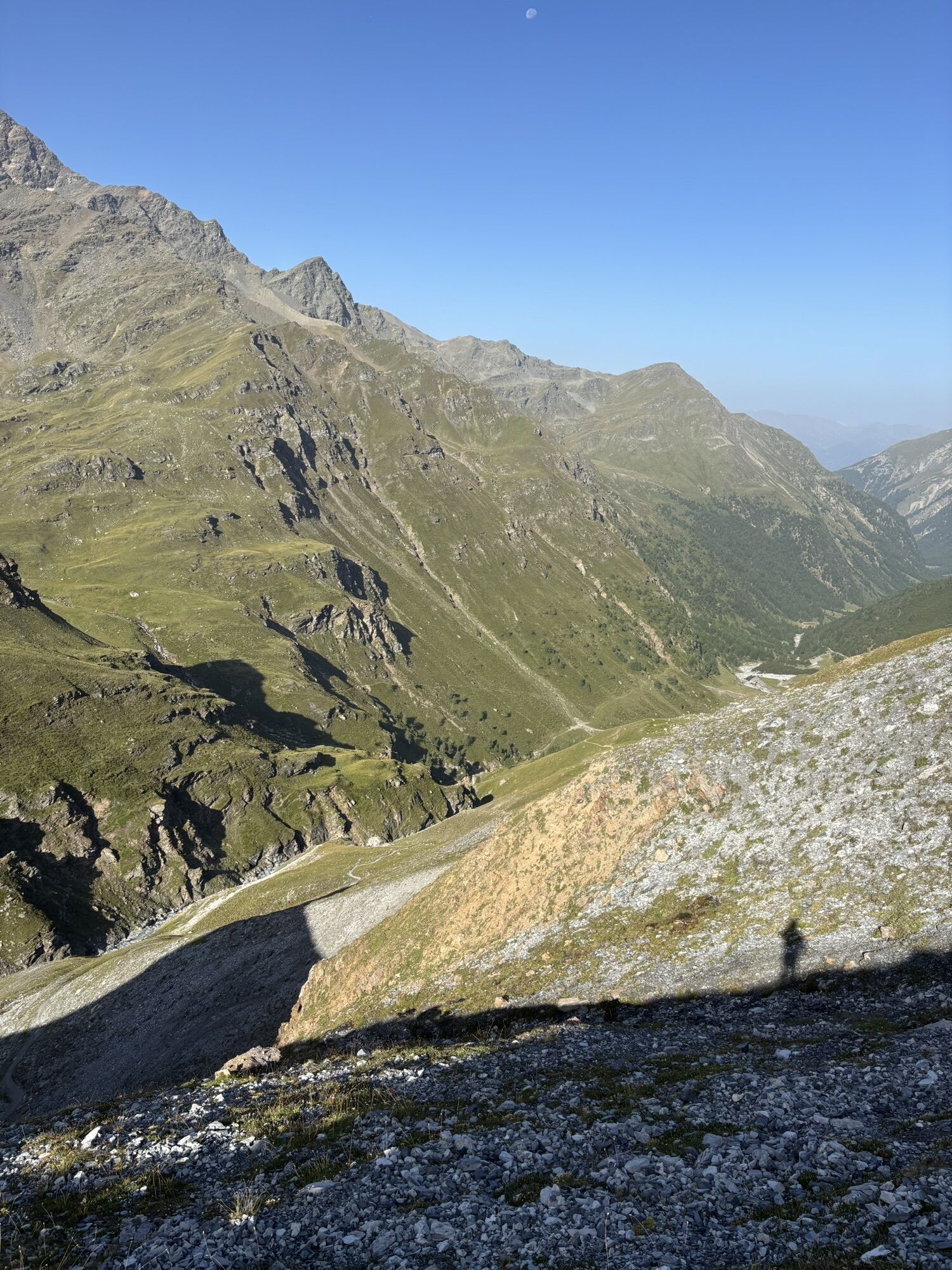
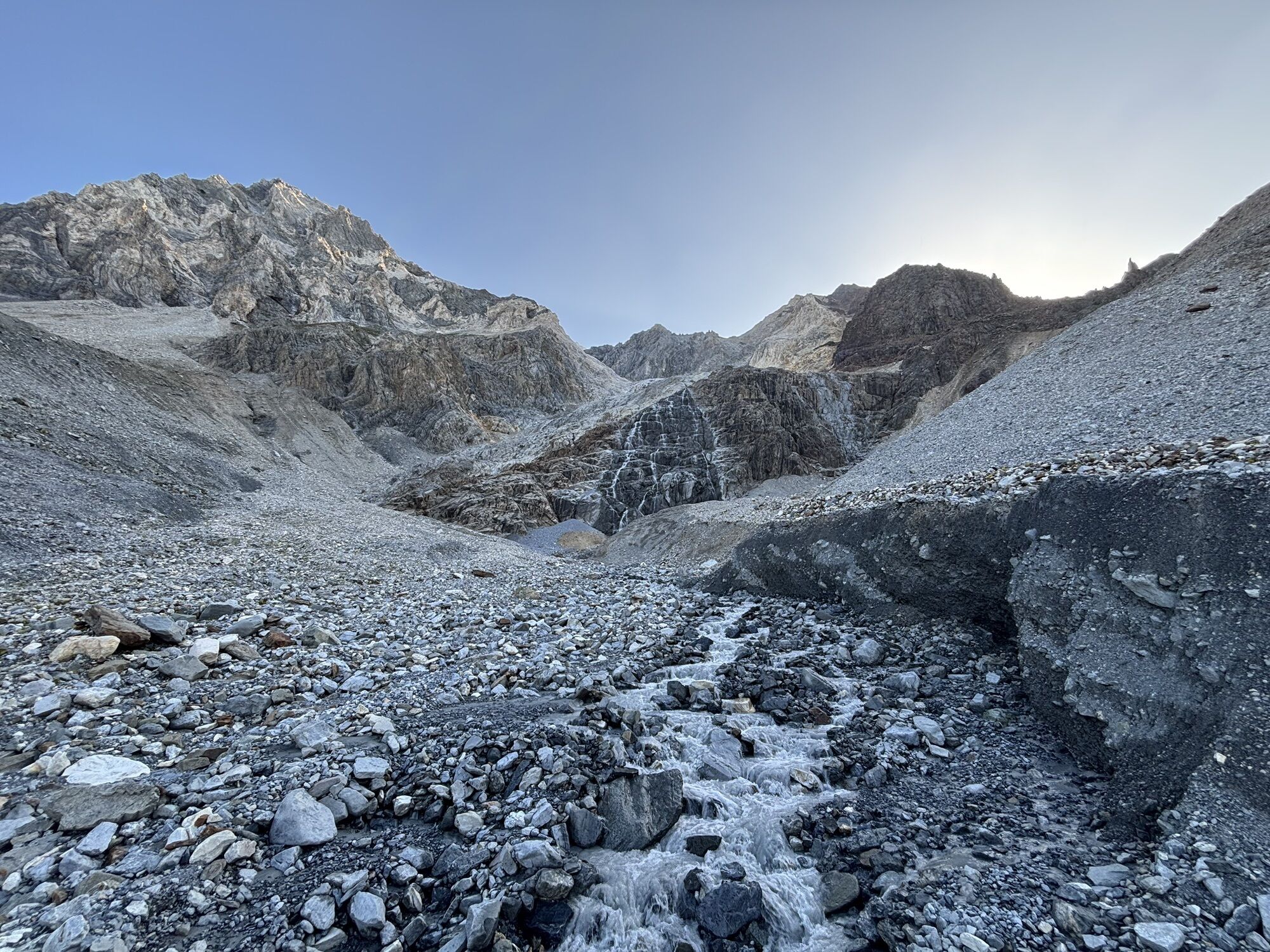
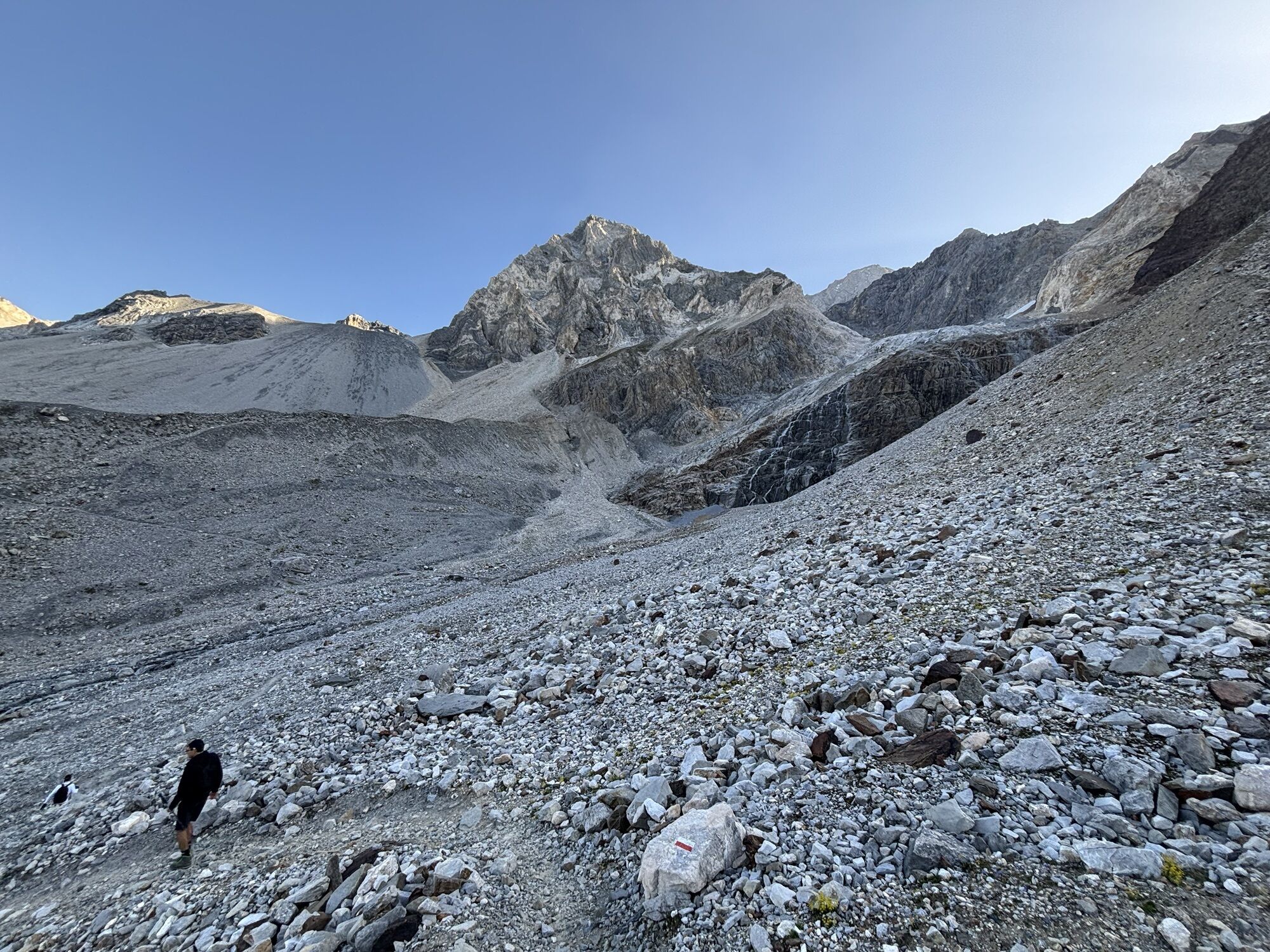
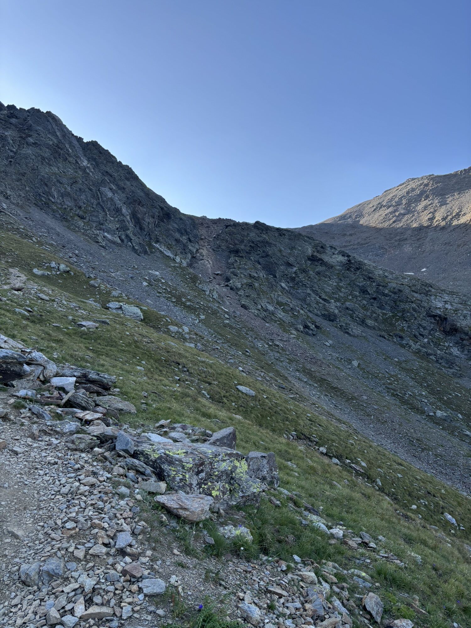
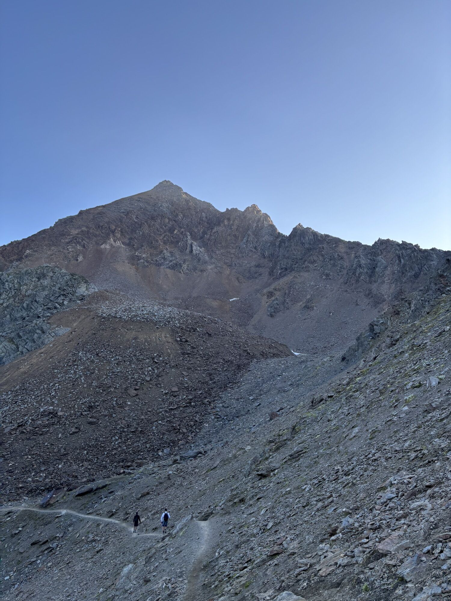
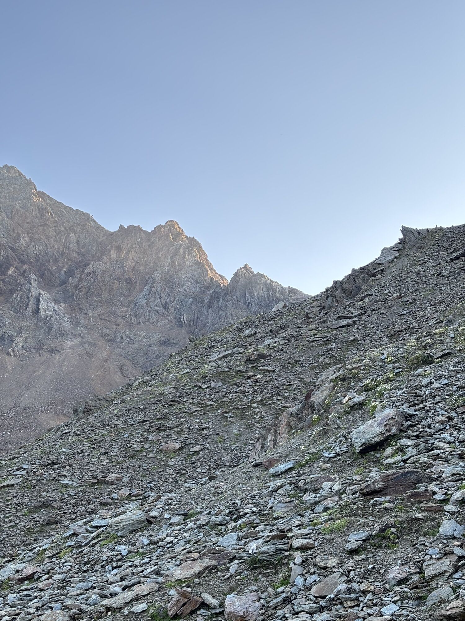
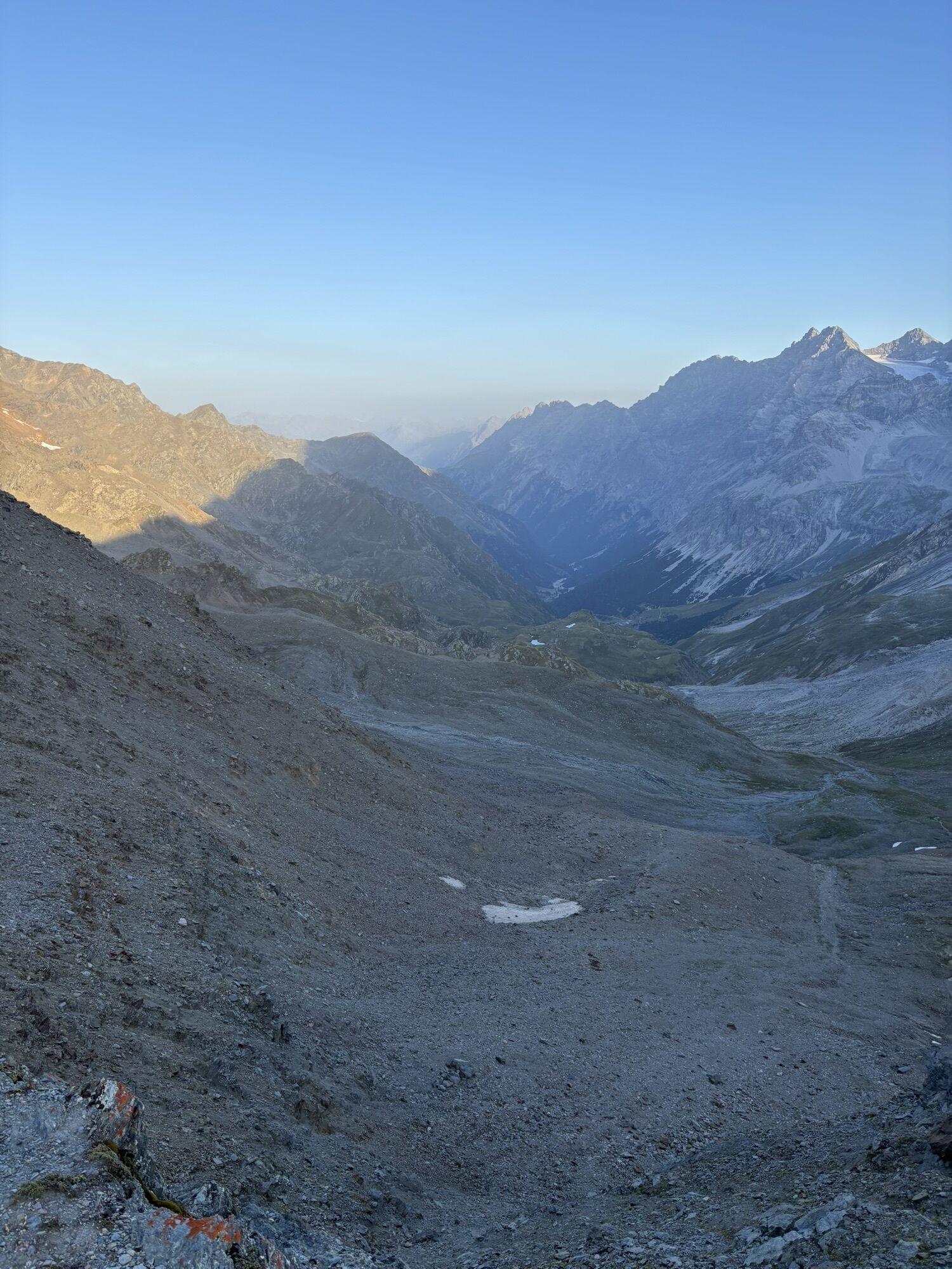
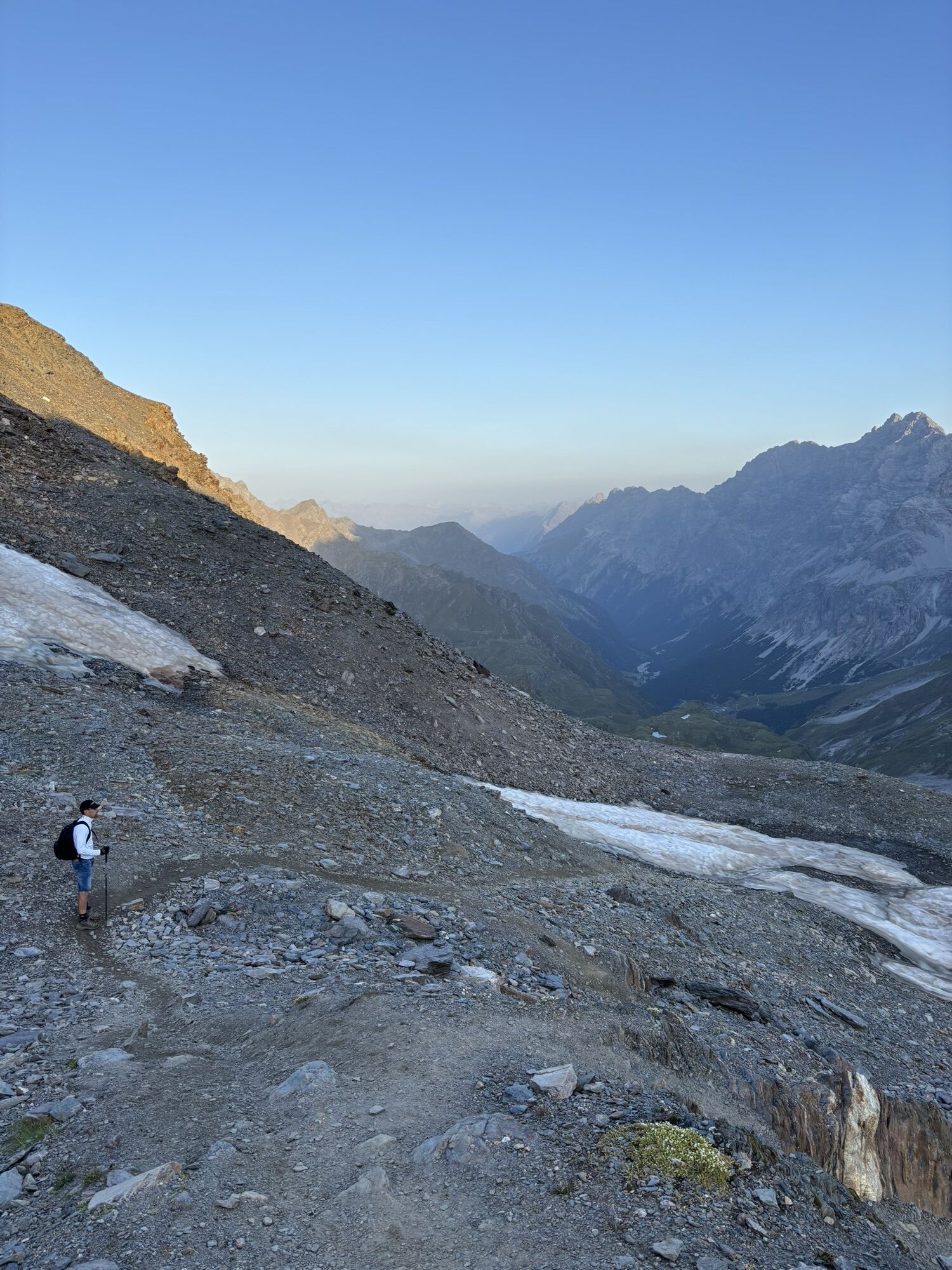
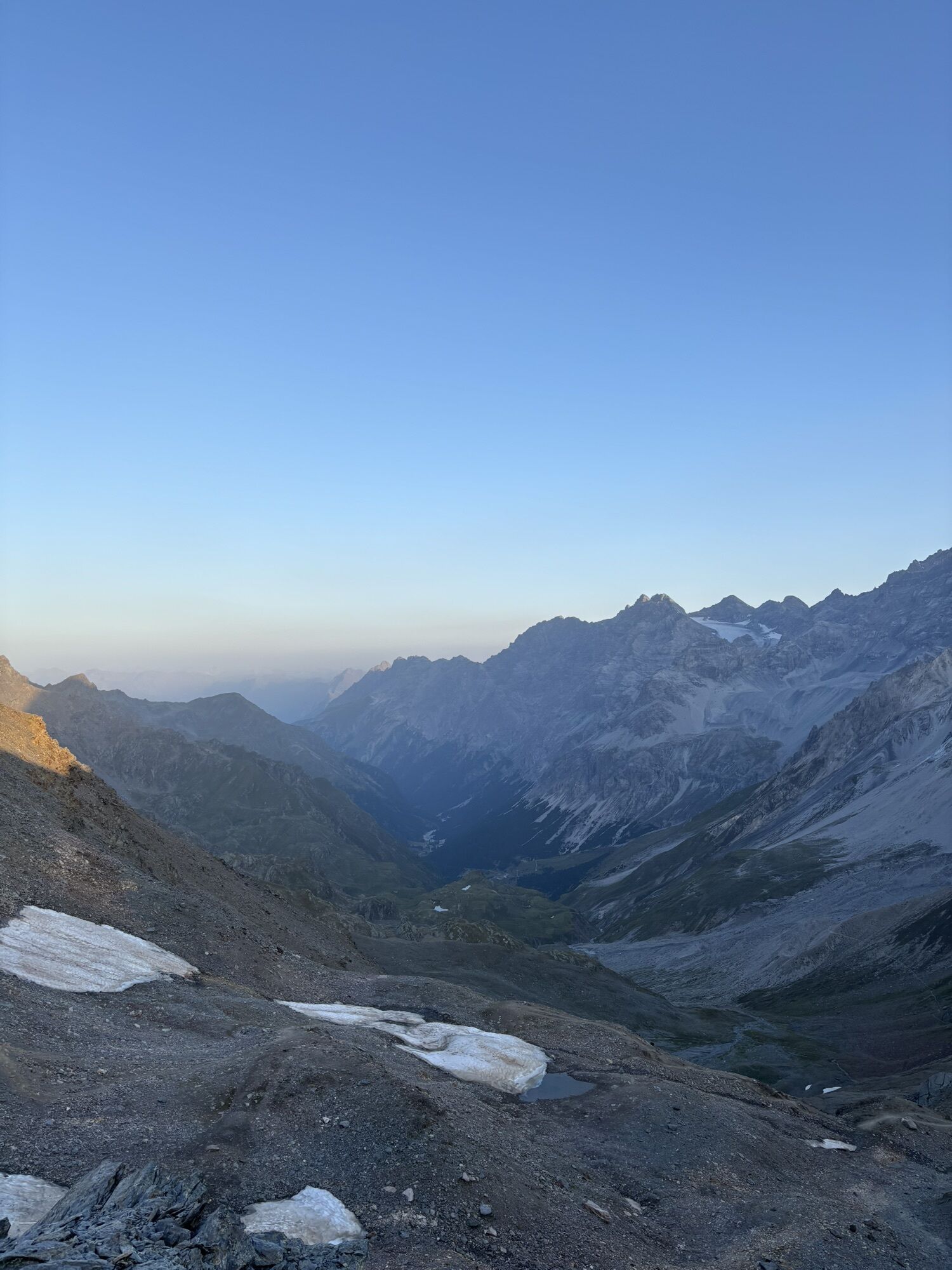
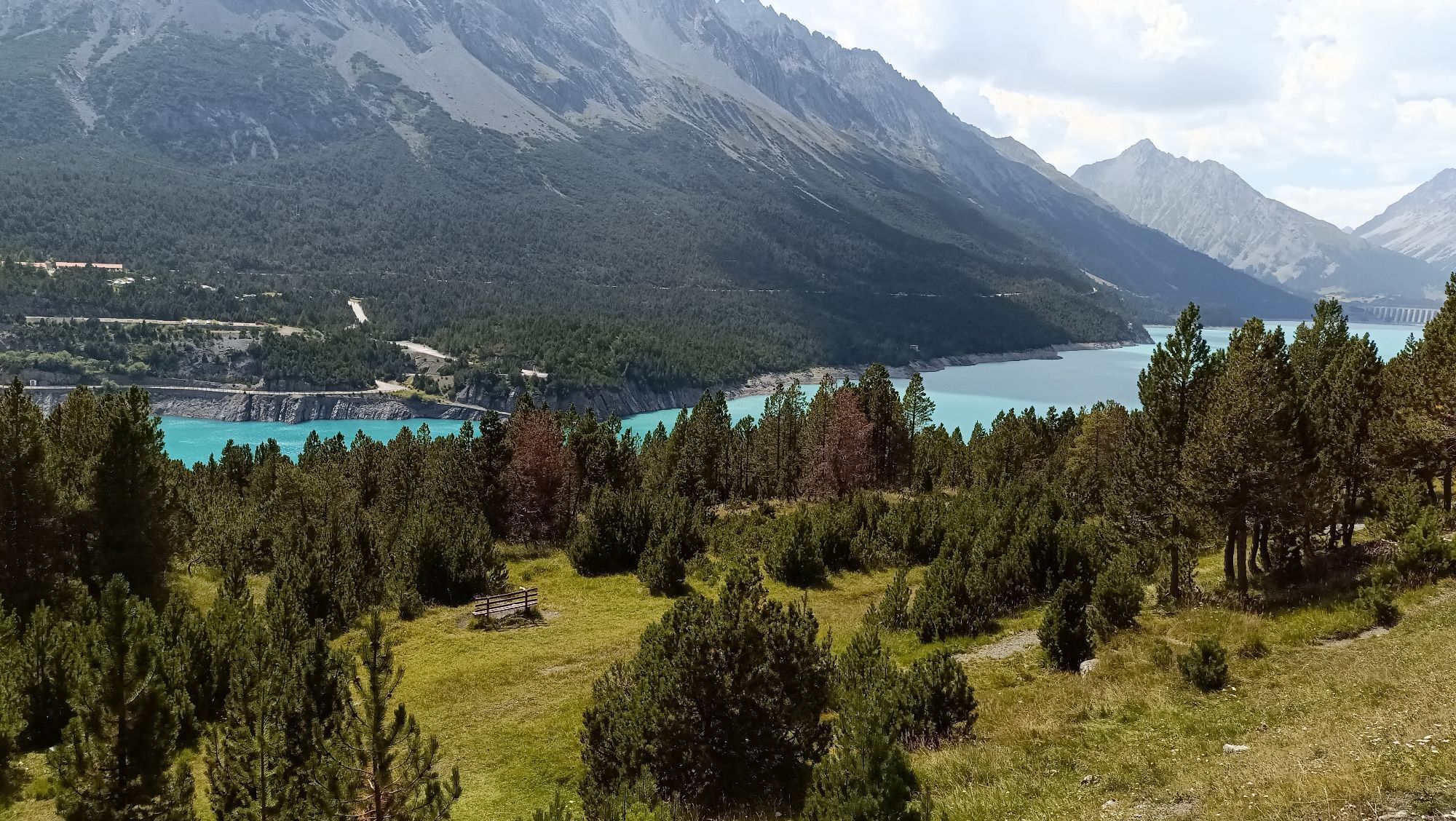
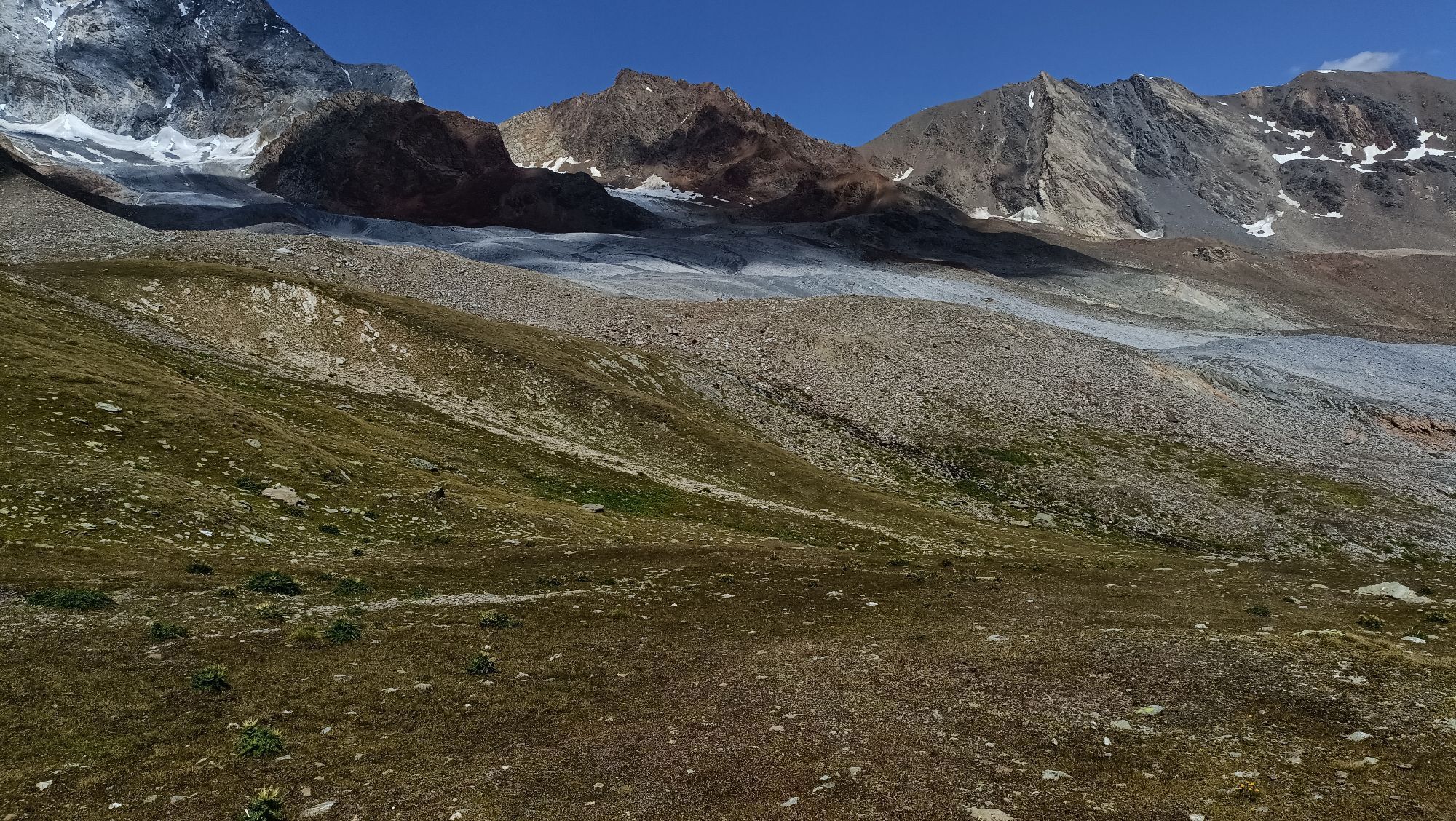
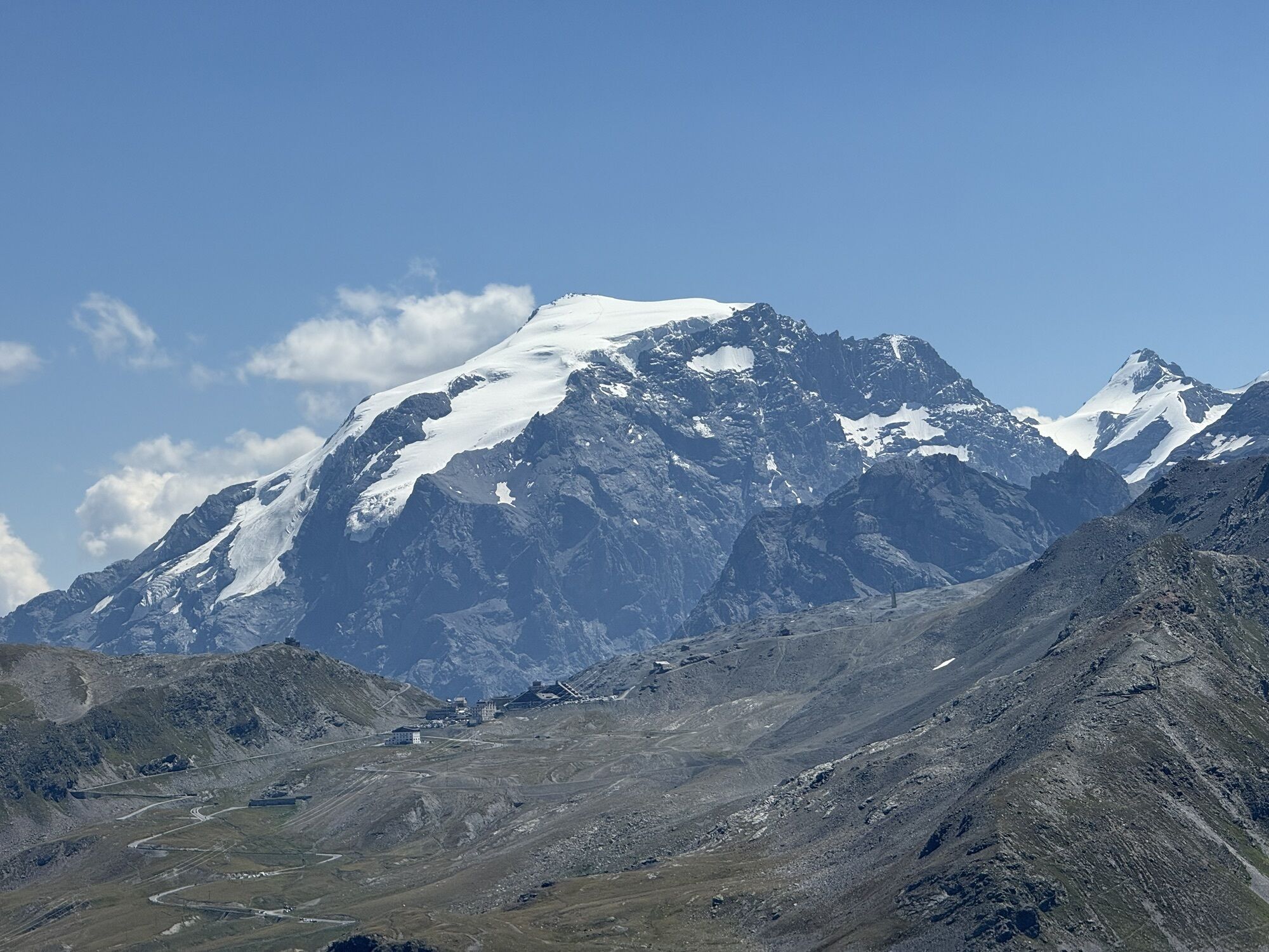
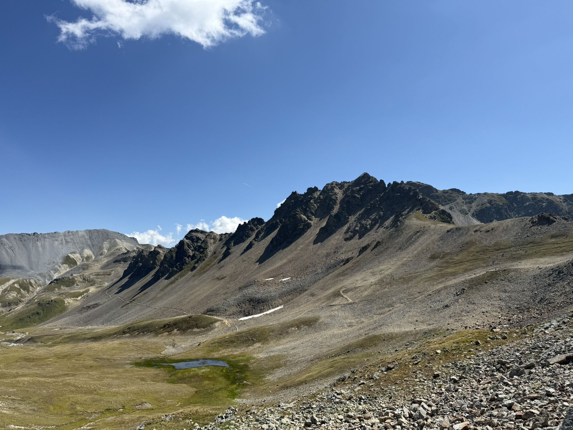
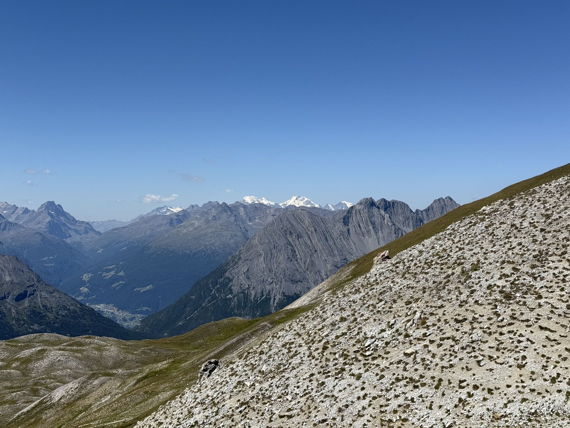
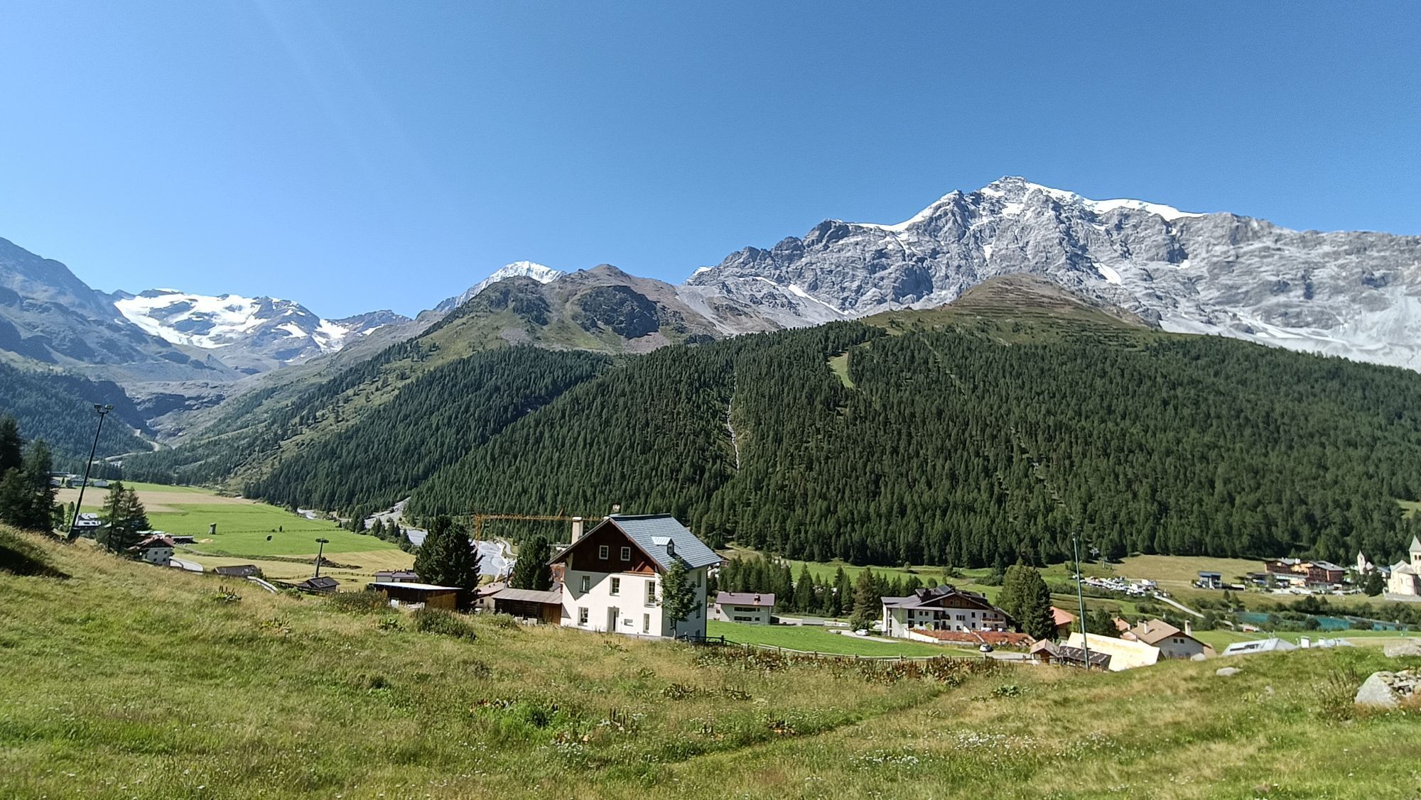
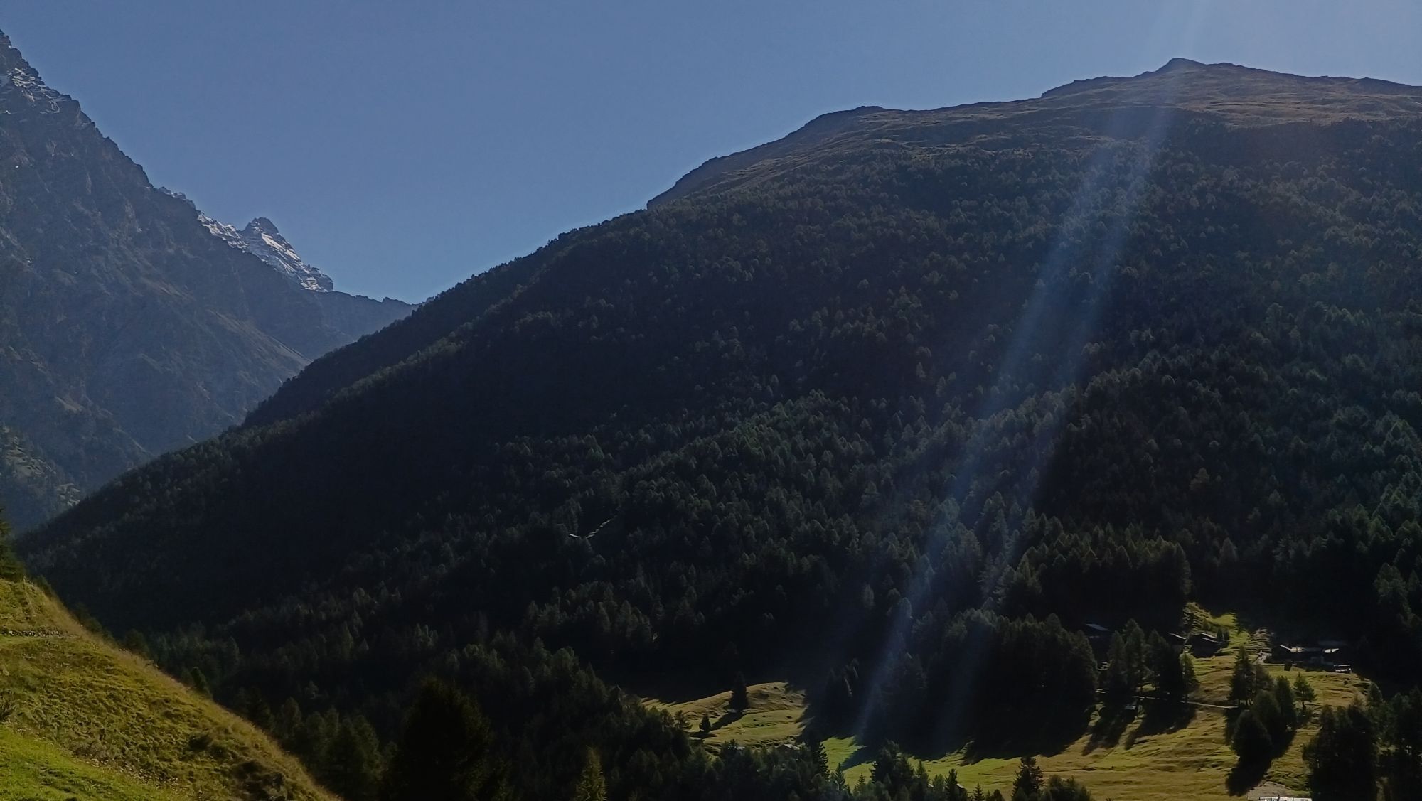
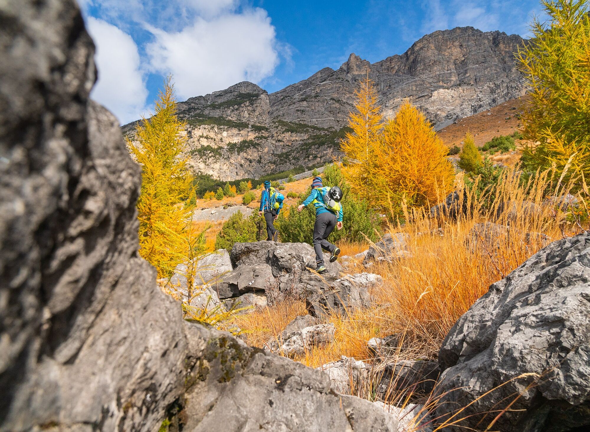
The Alta Via dell'Ortles is a hiking trail opened in 2018 that completes a loop around the group's iconic mountain, Ortles (3,905 m), starting and ending in Bormio. Entirely immersed in the Stelvio National Park, this route of about 120 km and 9,000 meters of elevation gain traverses extremely varied alpine environments: from trails that wind through larch and fir forests to wilder sections on rocky terrain and easy glaciers. It is a true alpine ride, challenging and adventurous, passing three passes over 3,000 meters between Lombardy and South Tyrol. The route touches symbolic places such as the Stelvio Pass and offers grandiose views until the return to the Magnifica Terra di Bormio, where the thrill of the finish line repays all effort.
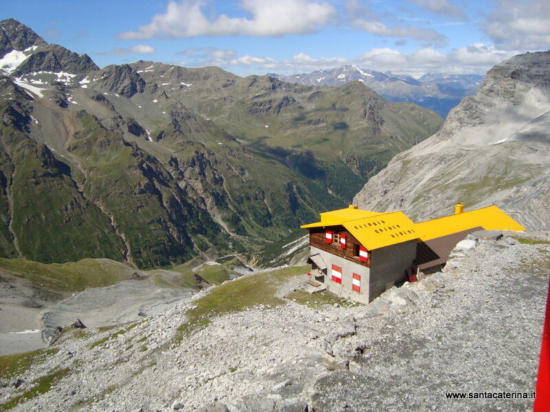
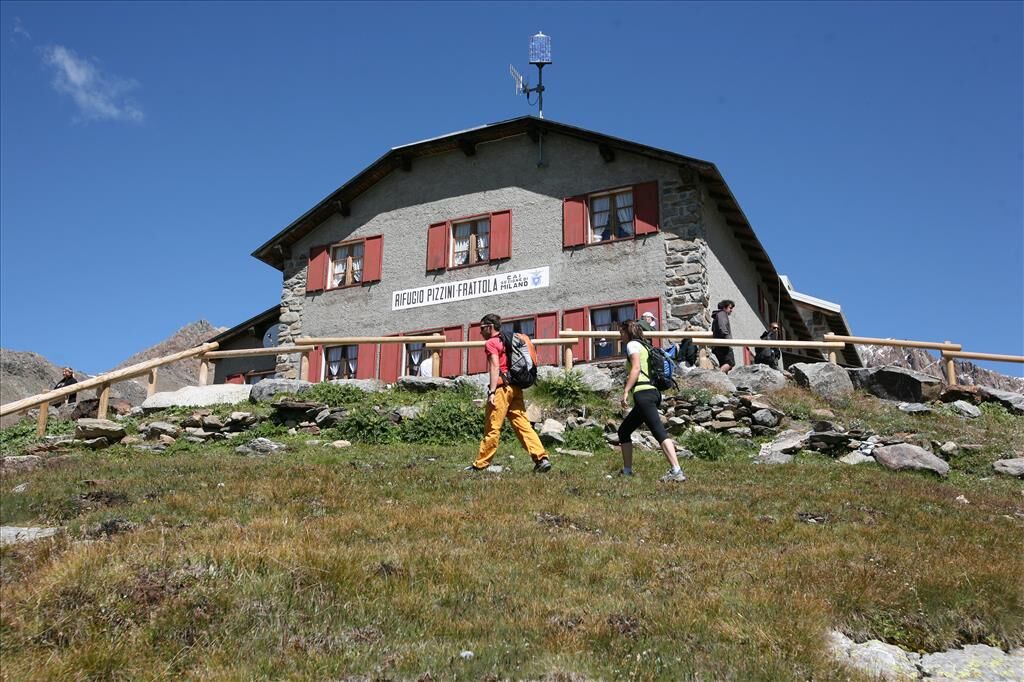
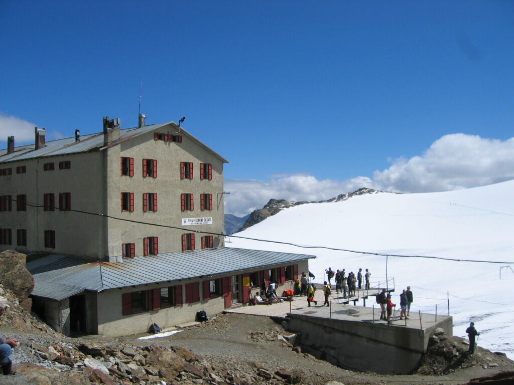
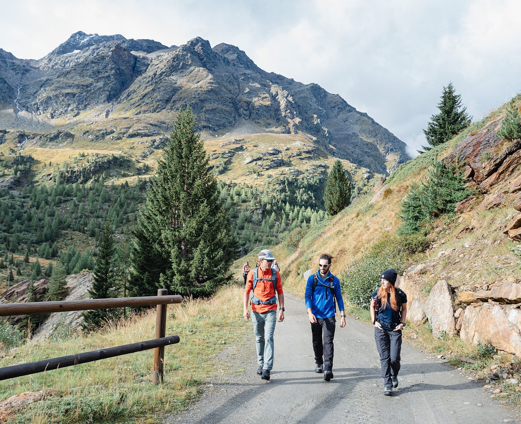
From Bormio, follow the Alta Via dell'Ortles signs that lead along a loop route around the Ortles massif in the Stelvio National Park. The route traverses several alpine valleys between Lombardy and South Tyrol, touching on mountain huts and high passes, including the Stelvio Pass, before returning to Bormio.
Sturdy hiking boots, technical layered clothing, waterproof jacket, gloves and hat. Useful hiking poles, map or GPS and sunscreen. Early season crampons may be useful.
Long and challenging route suitable for experienced and well-trained hikers. Some sections exceed 3000 m and may have snow or ice even in summer. Always check weather conditions and opening of huts before departure. Some sections cross glacial or rocky areas where caution is required. It is recommended to plan stages and bring adequate supplies of water and food.
Bormio can be reached by car via the SS38 Stelvio road from Sondrio and Tirano. From the north it is possible to arrive via the Stelvio Pass (seasonal) or from the Umbrail Pass via Val Müstair. The starting point is located in the center of the village.
Bormio is easily accessible by regular bus service from Tirano (train station) and Milan. The main bus stop is located in the center of Bormio, a few minutes&039; walk from the starting point of the route. Information and schedules are available on the Automobilistica Perego website:
Several public parking lots are available in Bormio near the historic center and sports facilities. Among the most convenient: parking lots at Bormio Terme, via Funivia or Pentagon area, all within a few minutes' walk from the starting point of the route.
T4
The route is generally tackled in several stages with overnight stays in huts along the way. Recommended period: late June to September, depending on snow conditions. See the official websites of Stelvio National Park and facilities along the route for up-to-date information on the route and refuges.
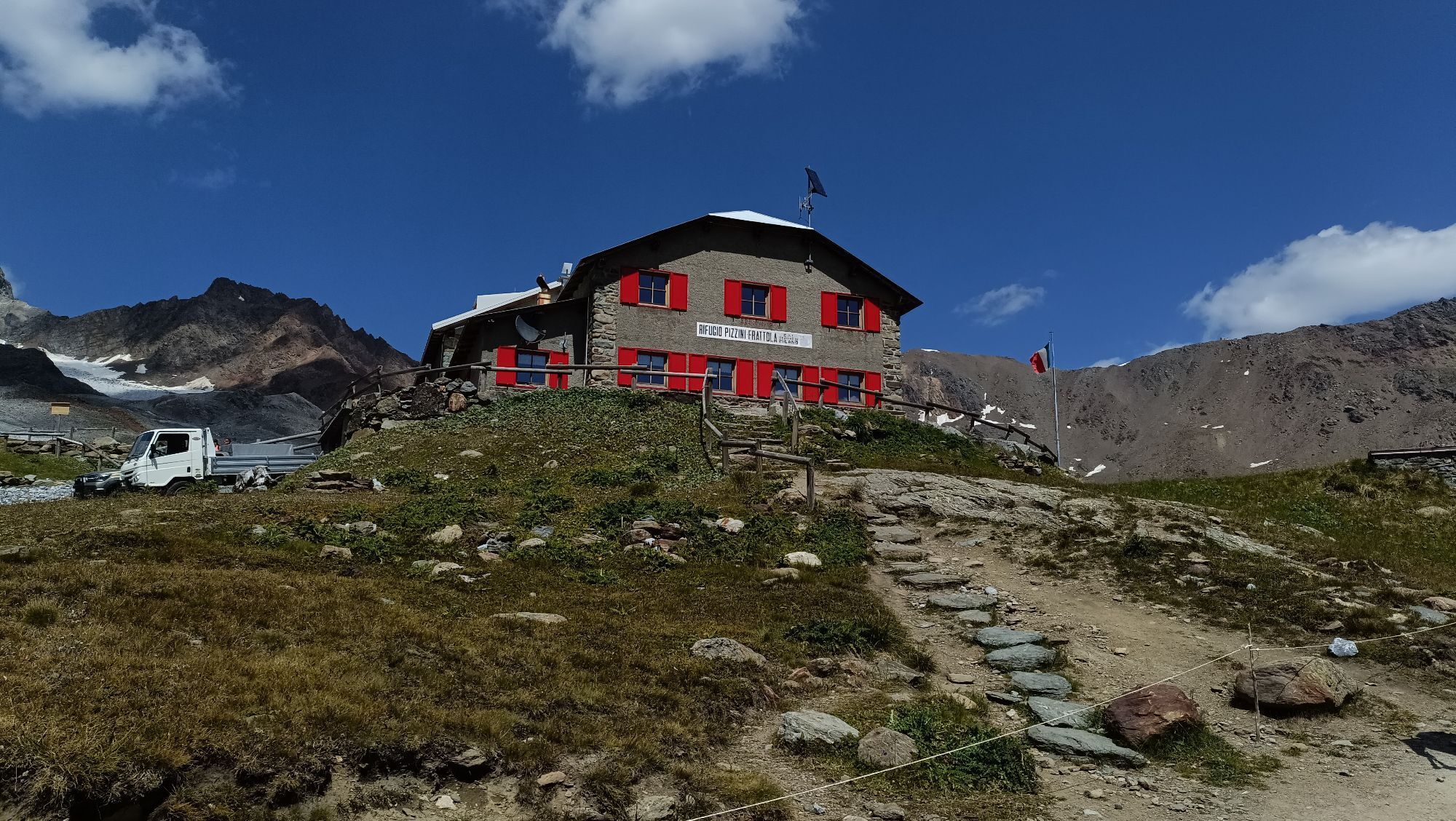
Don't miss the views of Ortles, Stelvio Pass, and the side valleys of Stelvio Park. 7 hut stops to fully enjoy the experience.
Webové kamery z prohlídky
Passo Stelvio
Passo Stelvio
Passo Stelvio
Passo Stelvio
Passo Stelvio
Passo Stelvio
Bormio 2000
Passo Stelvio
Passo Stelvio
Passo Stelvio
Passo Stelvio
Passo Stelvio
Piste Stelvio
Bormio 2000
Bormio 2000
Bormio 2000
Bormio 2000
Bormio 2000
Bormio 2000
Bormio 2000
Prad am Stilfserjoch
Prad am Stilfserjoch
Piz Chavalatsch
Trafoi
Langenferner
Stilfs - Stelvio
Kanzel - Sulden
Stilfser Joch - Tibet Hütte
Trafoi - Furkelhütte
Bormio Terme
Bormio Terme
Bormio Terme
La Rocca
Parterre Pista Stelvio
La Rocca
La Rocca
La Rocca
La Rocca
Parterre Pista Stelvio
Oblíbené prohlídky v okolí
- 3.7
Payerhütte 3020m
Turistika 6.98 km - 3.7
Düsseldorfer Hütte 2721m
středníTuristika 4.14 km - 5.0
Martell-Tal Rundweg zur Marteller Hütte
světloTuristika 10.8 km - 4.8
Martellerhütte Höhenweg
středníVysokohorská turistika 8.70 km - 3.7
Von Sulden zur Hinteren Schöntaufspitze
středníTuristika 12.7 km - 4.9
Plimaschlucht
světloHorská turistika 7.23 km - 4.3
Sonnenaufgang auf der Rötelspitze im Nationalpark Stilfserjoch
Turistika 2.02 km - 4.5
Obervinschgau - Madritschjoch, der höchste Transalp Übergang
Mountainbike 9.54 km Wanderung/Aufstieg zur Payerhütte
světloTuristika 15.9 km- 3.4
Sta.Maria, Prà da Vau - Lai da Rims - Alp Sot - Prà da Vau
heavyTuristika 14.7 km
Pěší turistika a stopování


Nenechte si ujít nabídky a inspiraci pro vaši příští dovolenou
Vaše e-mailová adresa byl přidán do poštovního seznamu.