


Villa Jaakkola bike route - Drop by at Hamina


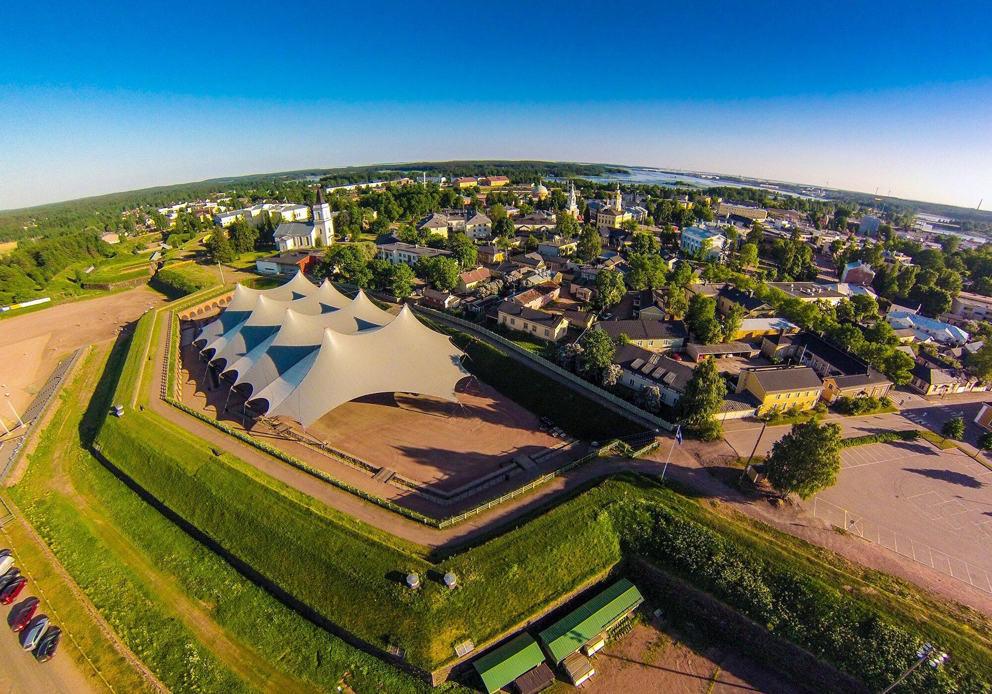
Hamina was founded in the early 18th century, when Swedes built a star fortress in the area.
Later a city was established inside the fortress.
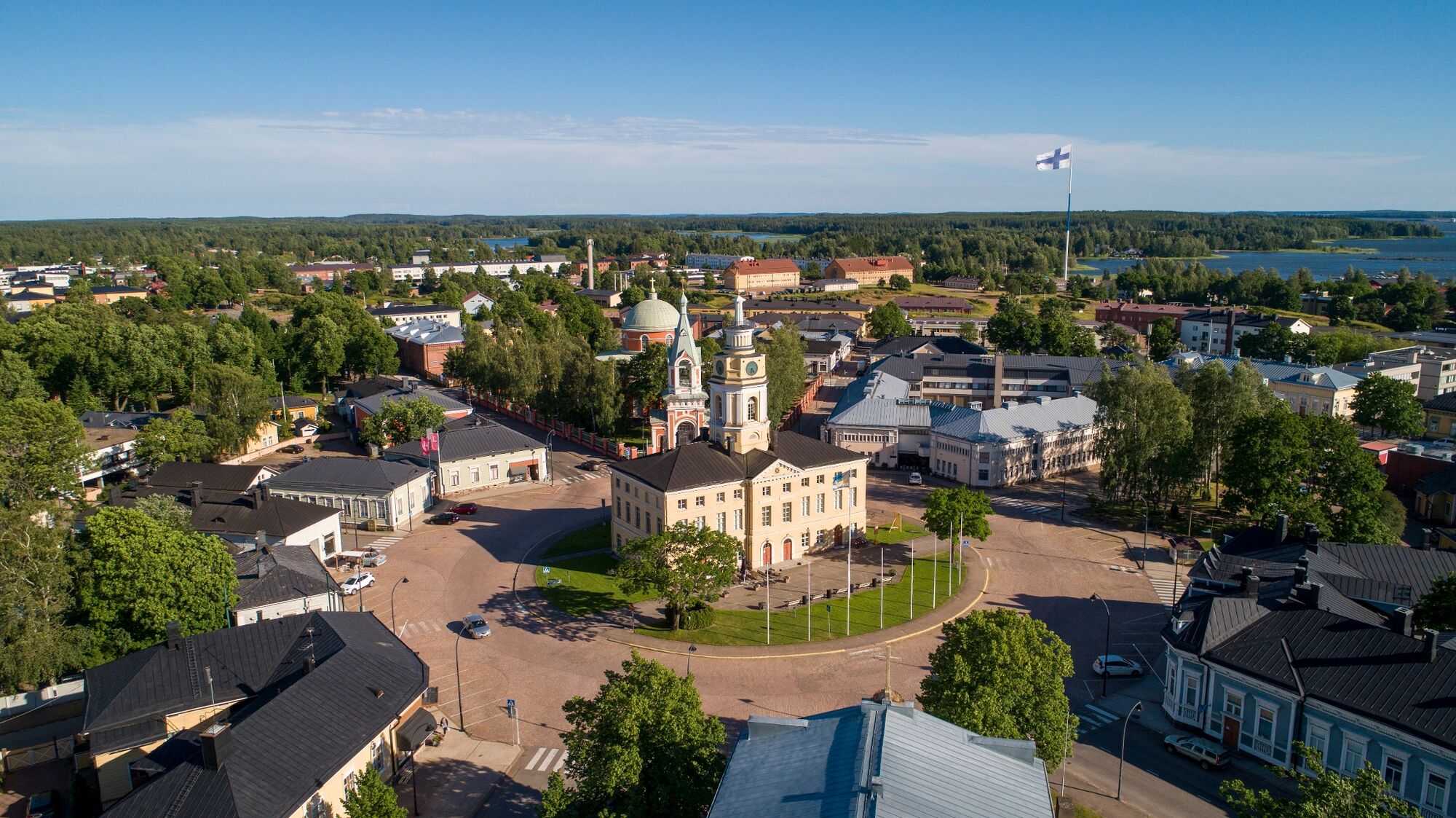
At the heart of the city is the Town Hall, from which 8 streets...
Hamina was founded in the early 18th century, when Swedes built a star fortress in the area.
Later a city was established inside the fortress.
At the heart of the city is the Town Hall, from which 8 streets leave by radial - this circular station plan is unique by world standards as well.
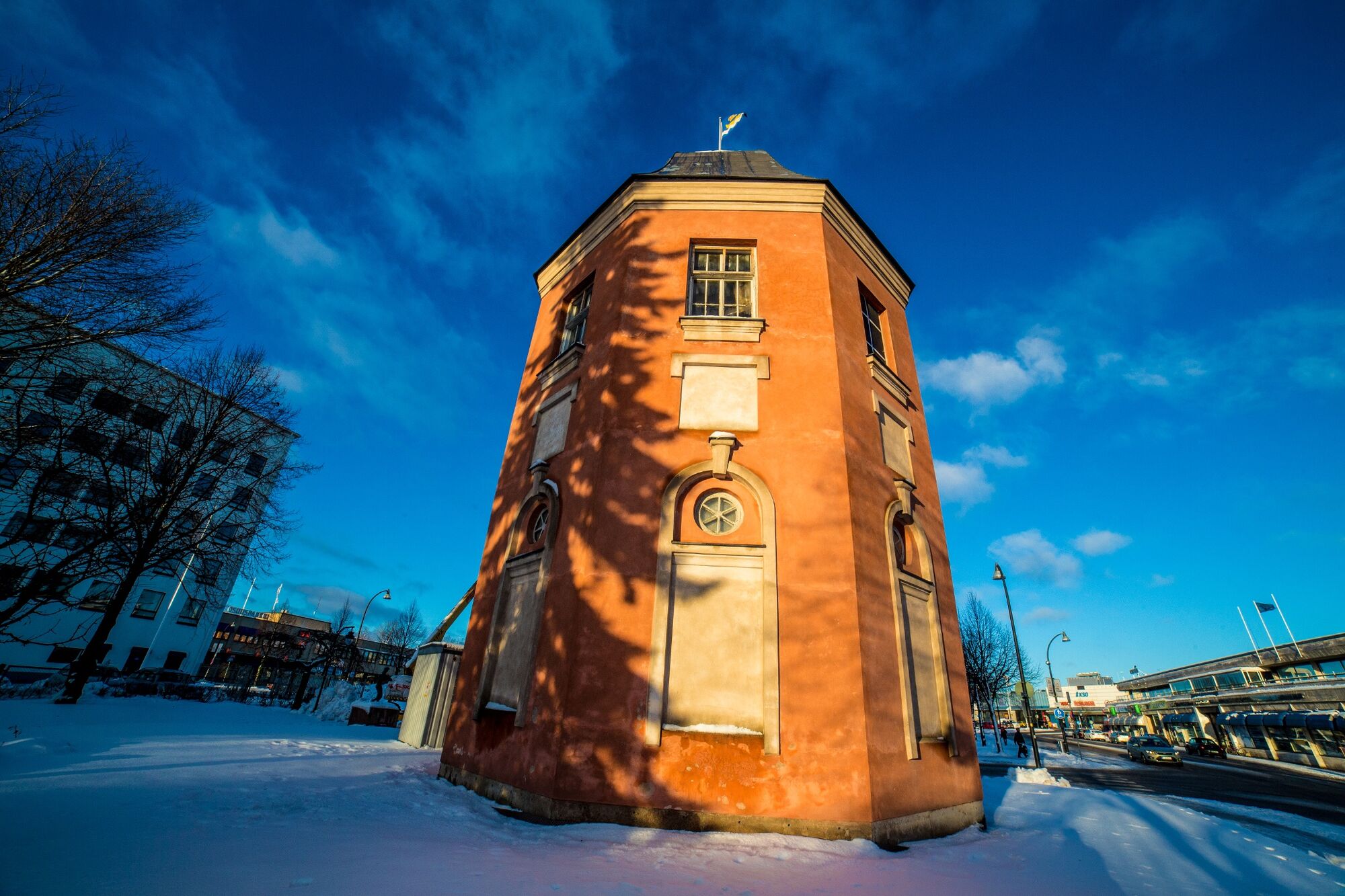
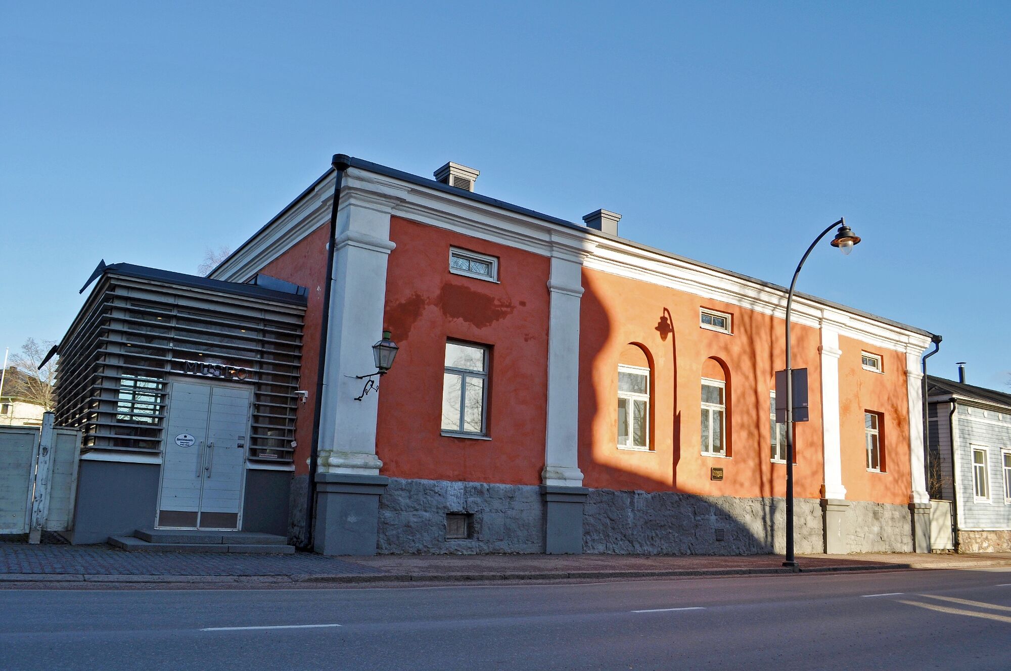
There isstill a lot to see in the city from its earliest times, such as churches, museums, numerous wooden residences and castle walls.
Since these times, Hamina has been a military city.
The Cadet School has previously operated there, where Marshal Mannerheim, for example, attended.
Later, the Reserve Officer School (RUK) has operated on the premises of the cadet school.
Hamina isn't anyhow only about history and military traditions.
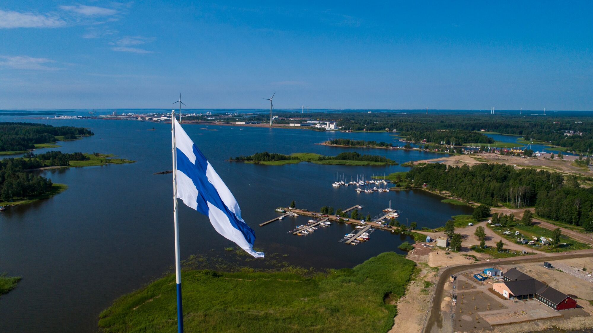
On the edge of the city is located the Europe's tallest flag, a Finnish flag which is a size of a basketball court.
There are also other flag-themed sights to see around the city.
Another of Hamina's major attractions is the largest tent canopy in Europe, erected in the main bass of the fortress, where the military music event Hamina Tattoo is held every two years.
At other times, other big and smaller events are held there.

Google maps route
Ano
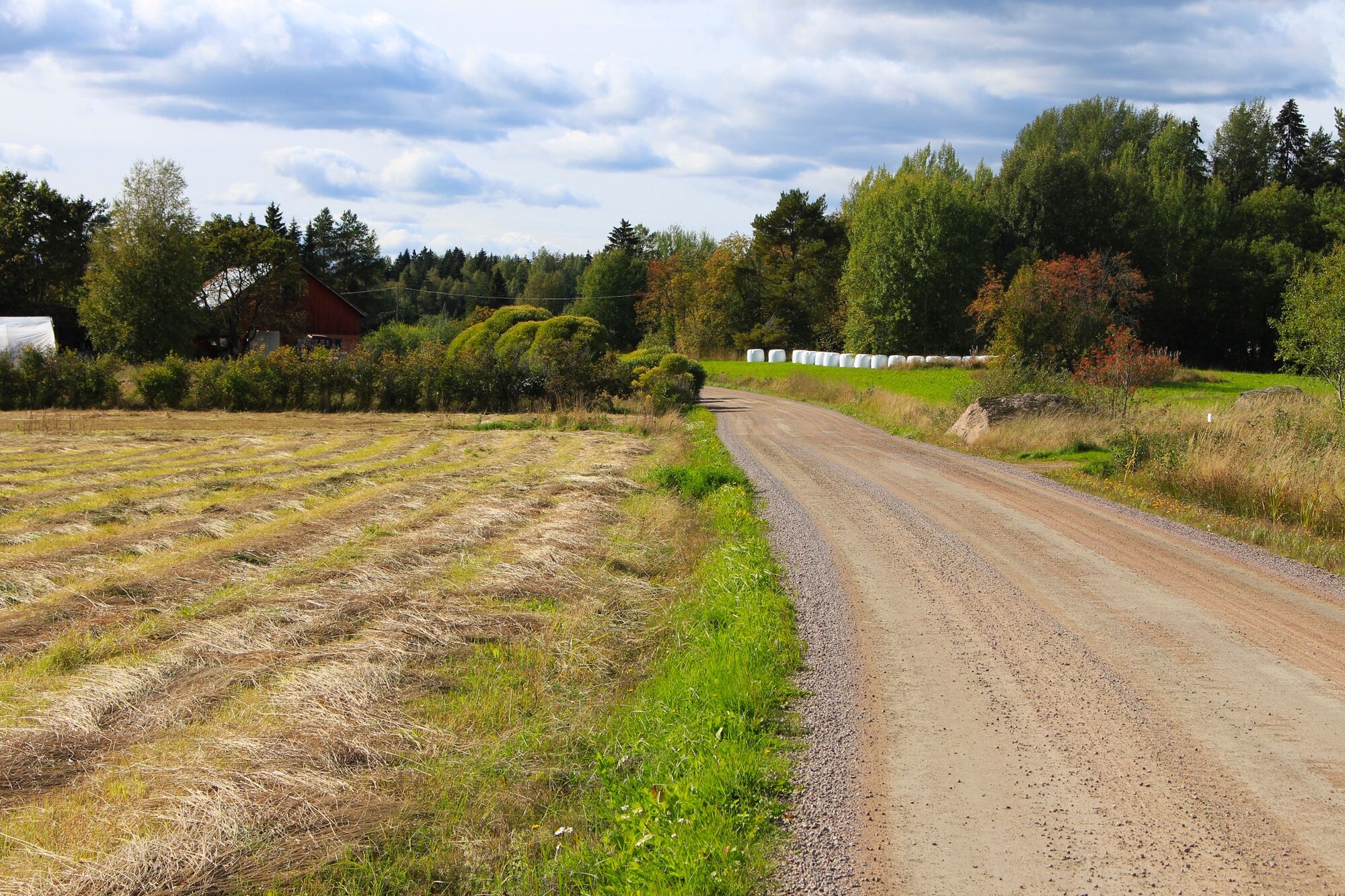
Most of the route is on paved roads.
There are only a few gravel roads, so you can get around on basic bikes.
The route follows either low-traffic rural roads or cycle paths.
Approaching Hamina on the E-18 motorway, get off at exit 80 and turn towards Hamina along Seututie 170 (Helsingintie) for 5 km, then turn left onto Reitkallintie, continue for 5.5 km and turn left again, 2 km to the destination.
Google maps route
The location is not accessible by public transport.
The nearest public transport stop is at the intersection of Helsingintie and Reitkallintie, from where Villa Jaakkola is 7.5 km away.
Bus stop, Hamina - Kotka
Bus stop, Kotka - Hamina
Plenty of free parking on site
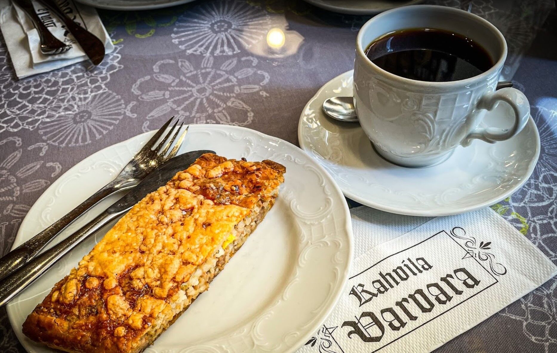
In Hamina there are also many exceptionally good cafés that you shouldn't miss out on during your trip.
Huovila's café is the oldest and most famous one of these, but cafés Kaneli and Varvara are also worth visiting.
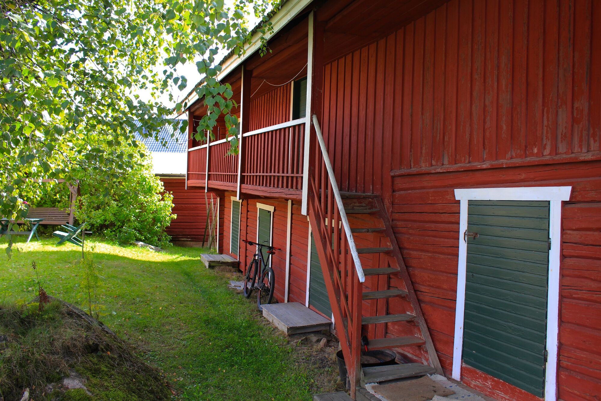
At the end of the cycling route, you can enjoy fresh waffles at Villa Jaakkola's granary café.
Oblíbené prohlídky v okolí
-
Alvar Aalto's Kymenlaakso
světloJízda na kole 96.8 km -
Portimon trail - Äijänvuoren reitti, Hamina
středníTuristika 4.55 km -
Horessootin nature trail, Hamina
světloTematická stezka 3.24 km -
Hamina cycling route
světloJízda na kole 16.4 km -
Tarmola - Teirikallio - walking route
světloTuristika 7.36 km -
Villa Jaakkola Rural tour
světloJízda na kole 35.8 km -
Portimo trail - Kirimaja tour, Hamina
Turistika 8.15 km -
Portimo trails - Vehkalinna-Kuntohuhta, Hamina
Turistika 4.66 km -
Portimon polut, Riuhtan reitti
středníTuristika 2.83 km -
Portimo trails - Valklampi-Veiklampi tour, Hamina
středníTuristika 6.50 km
Pěší turistika a stopování


Nenechte si ujít nabídky a inspiraci pro vaši příští dovolenou
Vaše e-mailová adresa byl přidán do poštovního seznamu.