







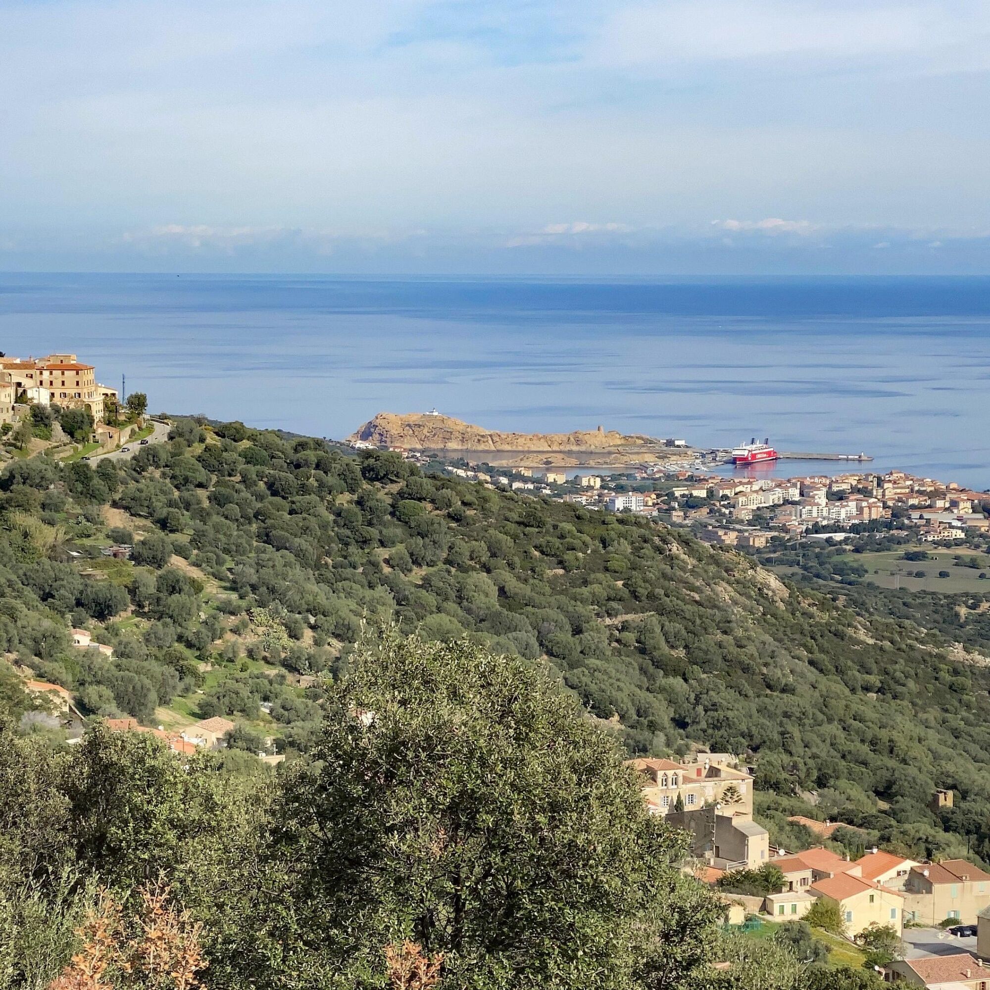
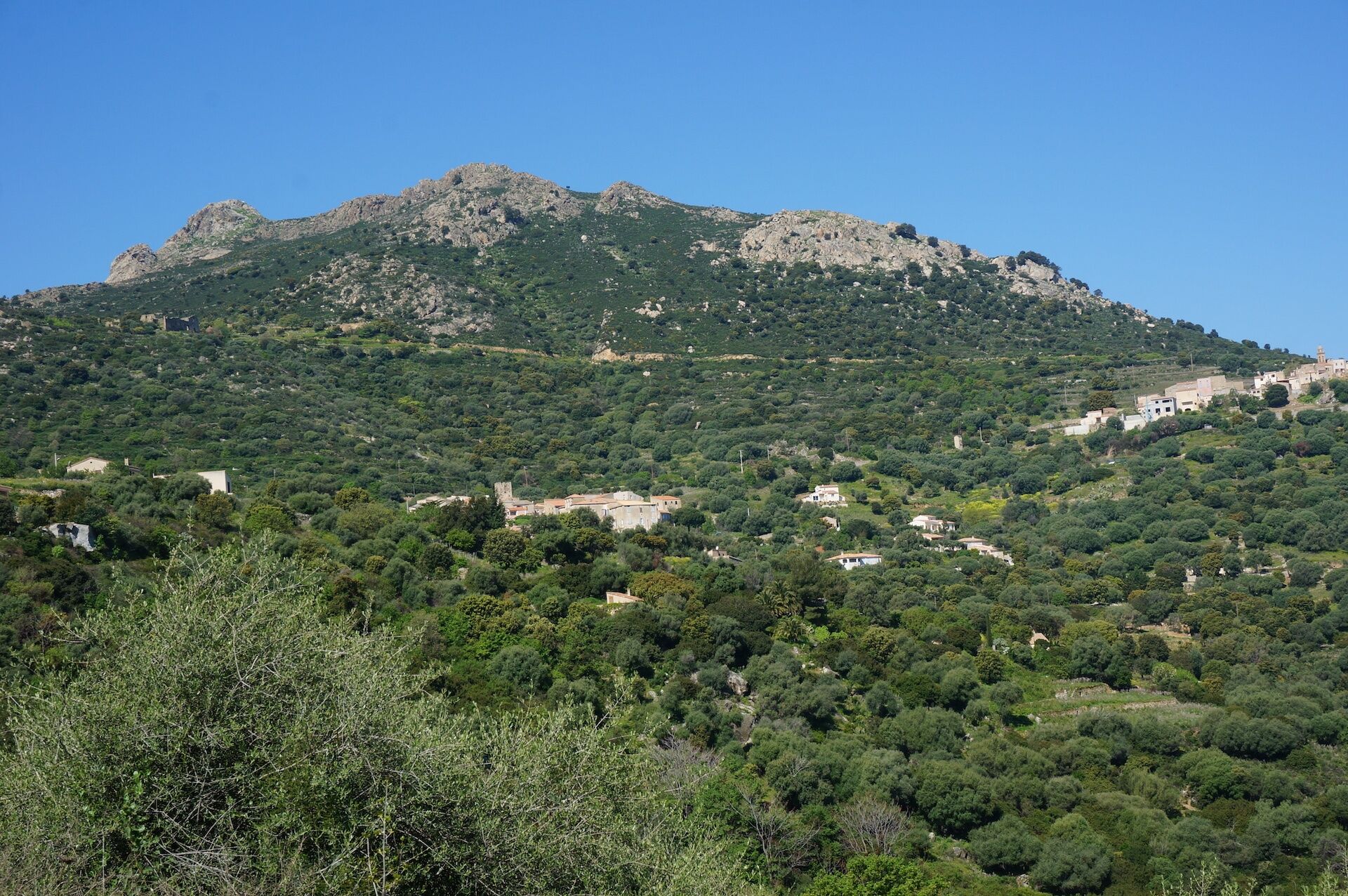
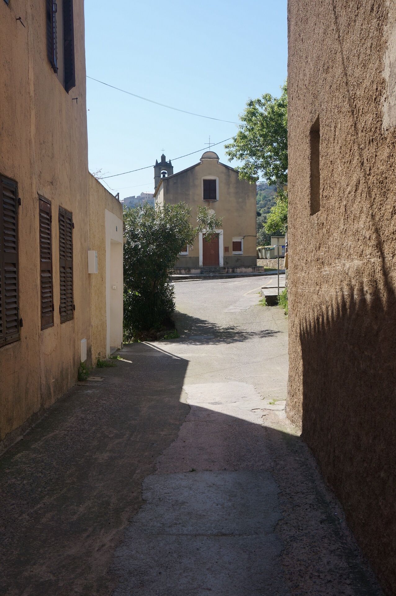
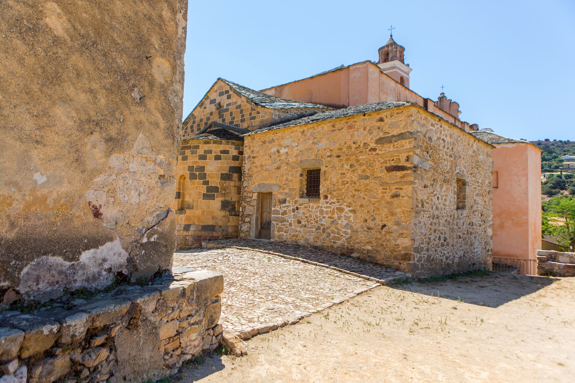
Hiking n°5 - Walk around the hamlets of Santa Reparata di Balagna

For more information about the destination, visit the tourist office website


Clothing suitable for the season and conditions (cold, hot, humid...)
Hiking shoes adapted to the terrain (even for children!)
Hiking poles (useful for stability and to relieve joints)
Mobile phone and spare battery
Before leaving:
Check the general and local weather ensuring no precipitation Get information on the approach walk, altitude of the route, duration, possible escape routes (IGN map, GPS, guidebook, etc.) Assess possible risks by consulting mountain professionals, refuges, lodgings Inform a close person of your goal and contact them if anything changes: departure and return times, number of participants with each phone number, vehicle(s), parking Avoid going alone, use equipment compliant with the activity, properly adjusted and in good condition, headlamp, complete first aid kit, survival blanket, etc.In case of a problem
Alert: call 112 (European emergency number)
5 key points to transmit your alert:
Where? municipality, place, route, altitude Who? identity, phone number What? type of accident, number of victims, severity, fall dynamics When? time of accident Weather? wind, visibilityParking near the starting point
Weather forecast: check the weather forecast before leaving on +33(0)3250 or +33(0)8 99 71 02 00
Avoid hiking in thunderstorms or windy conditions because of the fire risk
Avoid hiking if you see fire smoke even in the distance
Take water with you
Bring good hiking shoes and something to protect you from the sun and rain.
Watch out for the train for paths passing near the railway line
Keep dogs on a leash
If the ground is wet, be careful as the trails are often stony and can be slippery.
Respect the path of the trails, do not use short cuts to protect vegetation and prevent erosion
Do not damage fences, plantations, and do not disturb pets or herds.
Please note that the picking of certain plants is prohibited.
Do not leave any traces of your passage by taking your waste to a waste collection point, and think about sorting.
Find out about the hunting season
Do not hesitate to call on hiking professionals. Your Tourist Office works with qualified guides.

Oblíbené prohlídky v okolí
- 4.0
Hike 6: Giru L'Île-Rousse - Sta Reparata - Monticello
středníTuristika 12.0 km - 3.0
Hike 7: Loop around the Codole dam
světloTuristika 11.4 km - 5.0
Rando 31: Saleccia loop
světloTuristika 11.2 km - 5.0
Hike 4: Tour of the Cima Sant'Anghjulu
heavyTuristika 8.76 km - 5.0
Hike 3: Corbara - Carbunaghja
středníTuristika 3.85 km - 5.0
Rando 42: Algajola loop
světloTuristika 7.16 km - 3.0
Hike 1: Corbara - Pigna - Varcale
světloTuristika 10.1 km - 5.0
Trail 16: Giru di a punta Liatoghja (L'Agriate)
světloTrailrunning 14.8 km KORSIKA Pocca di Col de Batagglia 20190914
světloTuristika 3.15 kmFFC 12 mountain bike loop - Codole
heavyMountainbike 24.8 km
Pěší turistika a stopování


Nenechte si ujít nabídky a inspiraci pro vaši příští dovolenou
Vaše e-mailová adresa byl přidán do poštovního seznamu.





