




Kope Themed Hiking Path

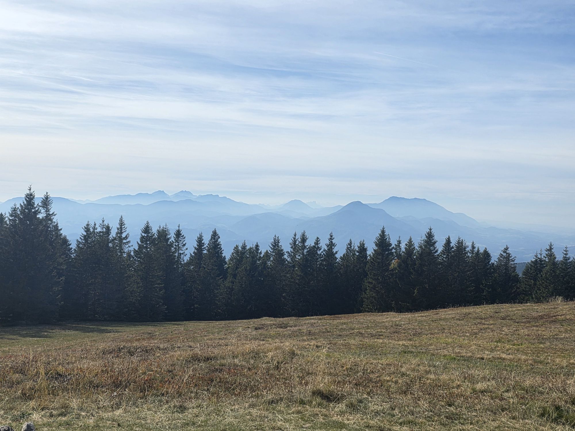


You can use the Ribniška Koča cabin or the multi-purpose Kope Centre facility as starting points. The latter complements the path with a modern multimedia presentation of Pohorje in the information centre,...
You can use the Ribniška KoÄa cabin or the multi-purpose Kope Centre facility as starting points. The latter complements the path with a modern multimedia presentation of Pohorje in the information centre, while in front of the facility stands a real skorjanka, a dwelling covered with bark that was once home to the Pohorje foresters. Near the Ribniška KoÄa cabin stands the Ribniško Jezero Lake, which is also worth a visit.
How was the lake really created? Walk up to the lake and find out! And during the walk you will learn about the Pohorje plains, who lives there, who dwells in the nearby forests, how did the people of Pohorje live in the past centuries, and everything you need to know about the Jezernik legend, by skimming through wooden books located on the benches along the path.



Ano
Ano
The path has been selected as the best themed path in the Koroška region in 2015.




Oblíbené prohlídky v okolí
- 4,6
Štrekna cycle path
středníJízda na kole 78,7 km - 4,7
Rogla - Lovrenska Jezera Rundtour
středníTuristika 12,2 km - 4,0
Lavamünd: Borderland bike tour
středníJízda na kole 45,5 km Drava Cycling Route2: Radlje ob Dravi- Maribor
středníJízda na kole 55,2 kmPohorje Cycling Route (PT)
heavyMountainbike 73,6 km- 4,5
Rogla - Ostruščica - Sedlo Komisija - Mulejev vrh
středníTuristika 10 km Über Pohorje-Gebirge nach Koroška
střednídálková pěší trasa 60,5 km- 4,0
Rogla s Krznom
středníLyžování 41,5 km E-BIKE Black Peak: Rainforest Šumnik
středníE-MTB 76,4 kmBike Park Kope: Proline trail
heavyDownhill 1,35 km
Pěší turistika a stopování


Nenechte si ujít nabídky a inspiraci pro vaši příští dovolenou
Vaše e-mailová adresa byl přidán do poštovního seznamu.


