



Kiipula mountain bike route 10.7 km

Úroveň obtížnosti: S1
The Kiipula mountain bike route is a 10.7 km long winding route in beautiful ridge terrain, where steep climbs challenge even experienced cyclists and descents provide thrilling speed. The loop is safe...
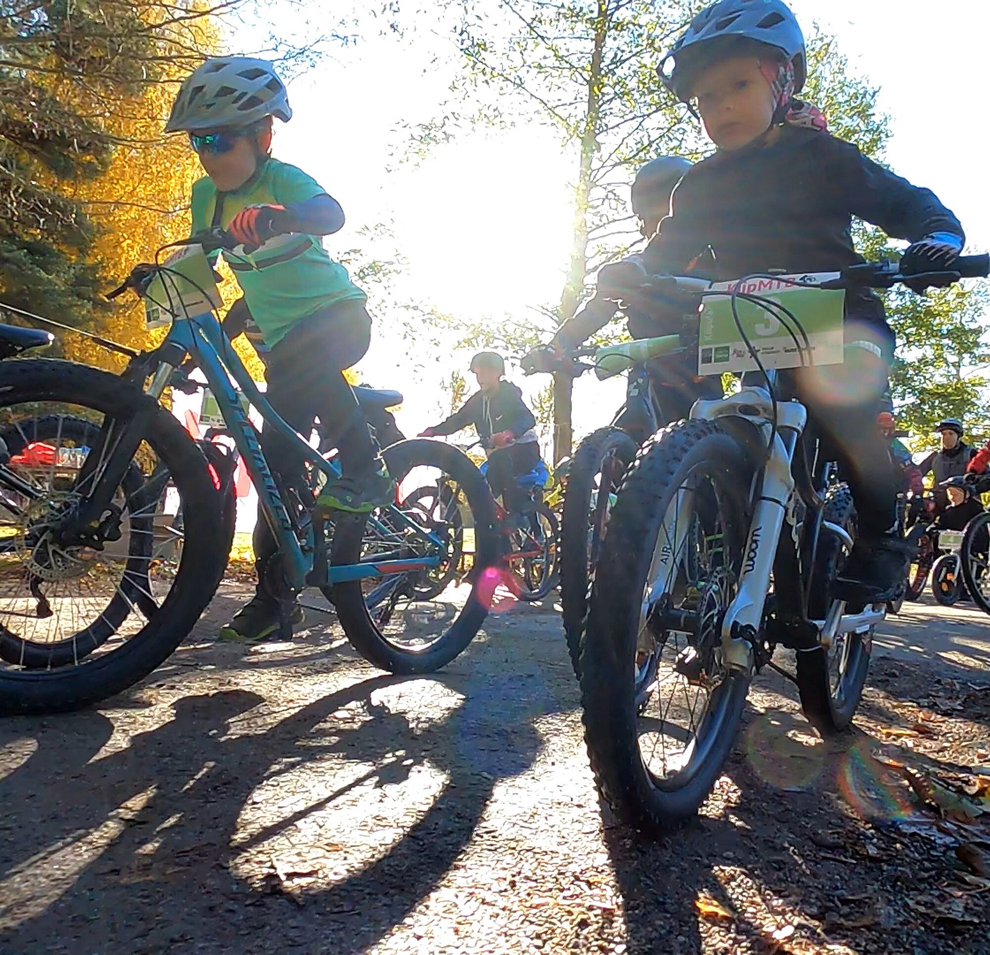
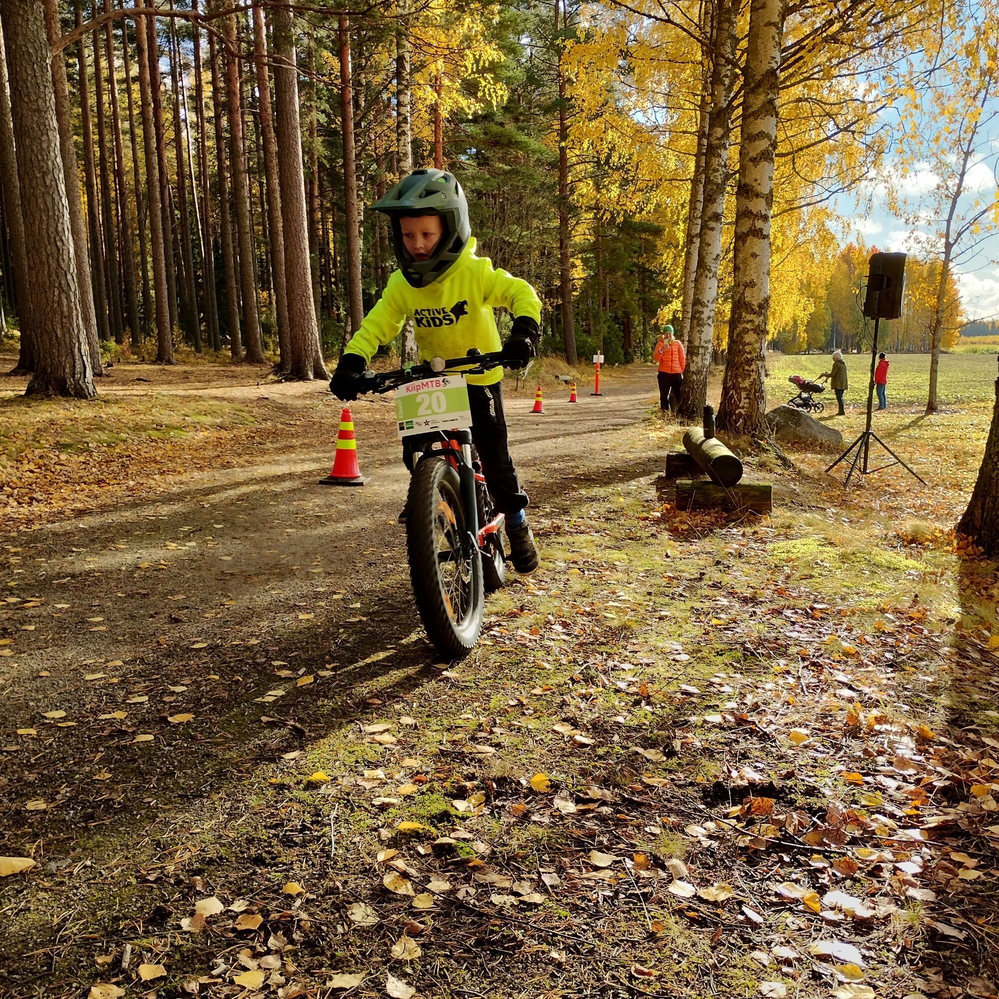
The Kiipula mountain bike route is a 10.7 km long winding route in beautiful ridge terrain, where steep climbs challenge even experienced cyclists and descents provide thrilling speed. The loop is safe as it does not cross major roads and is suitable for the whole family. The annual KiipMTB event, welcoming all mountain biking enthusiasts, is also held in early October in Kiipula.

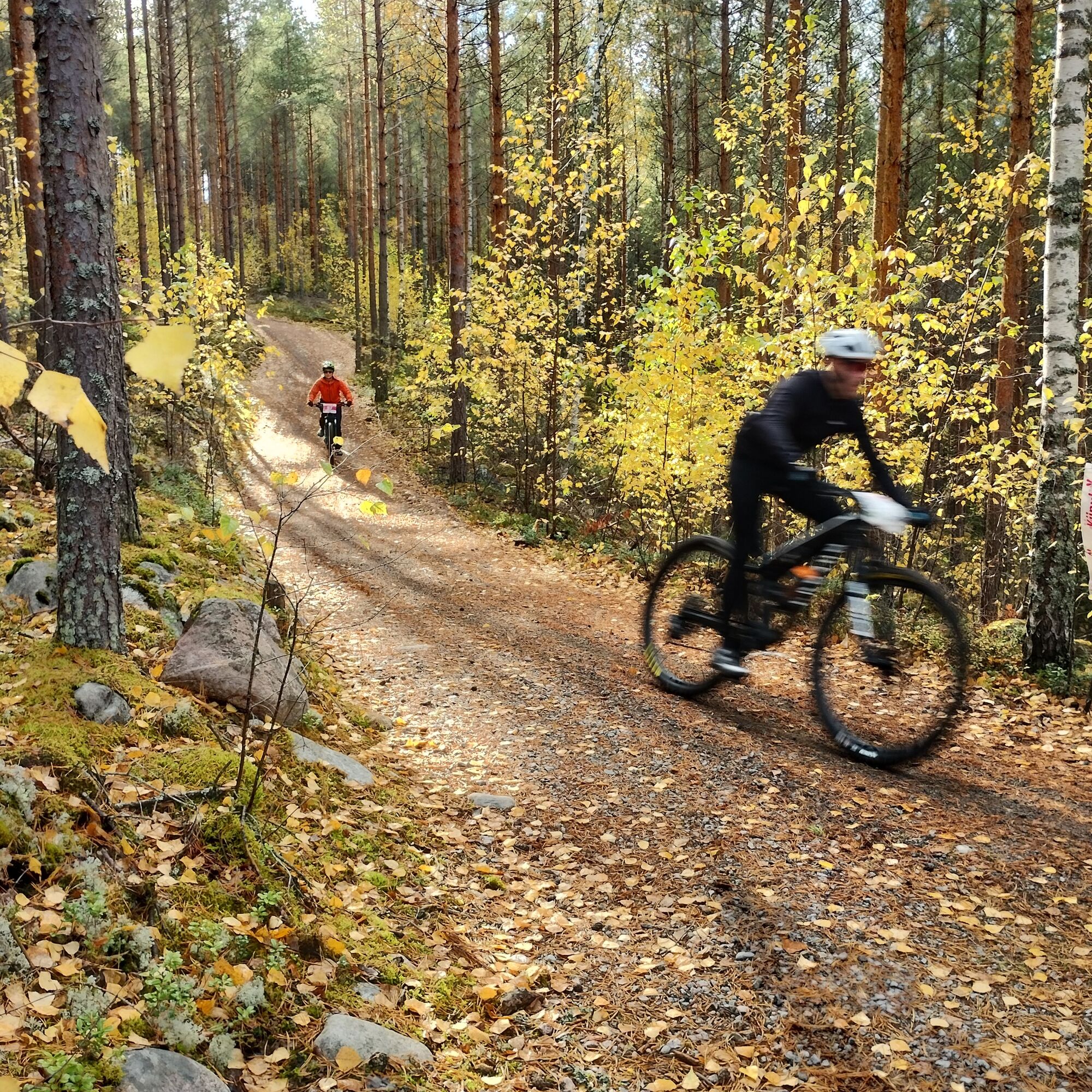
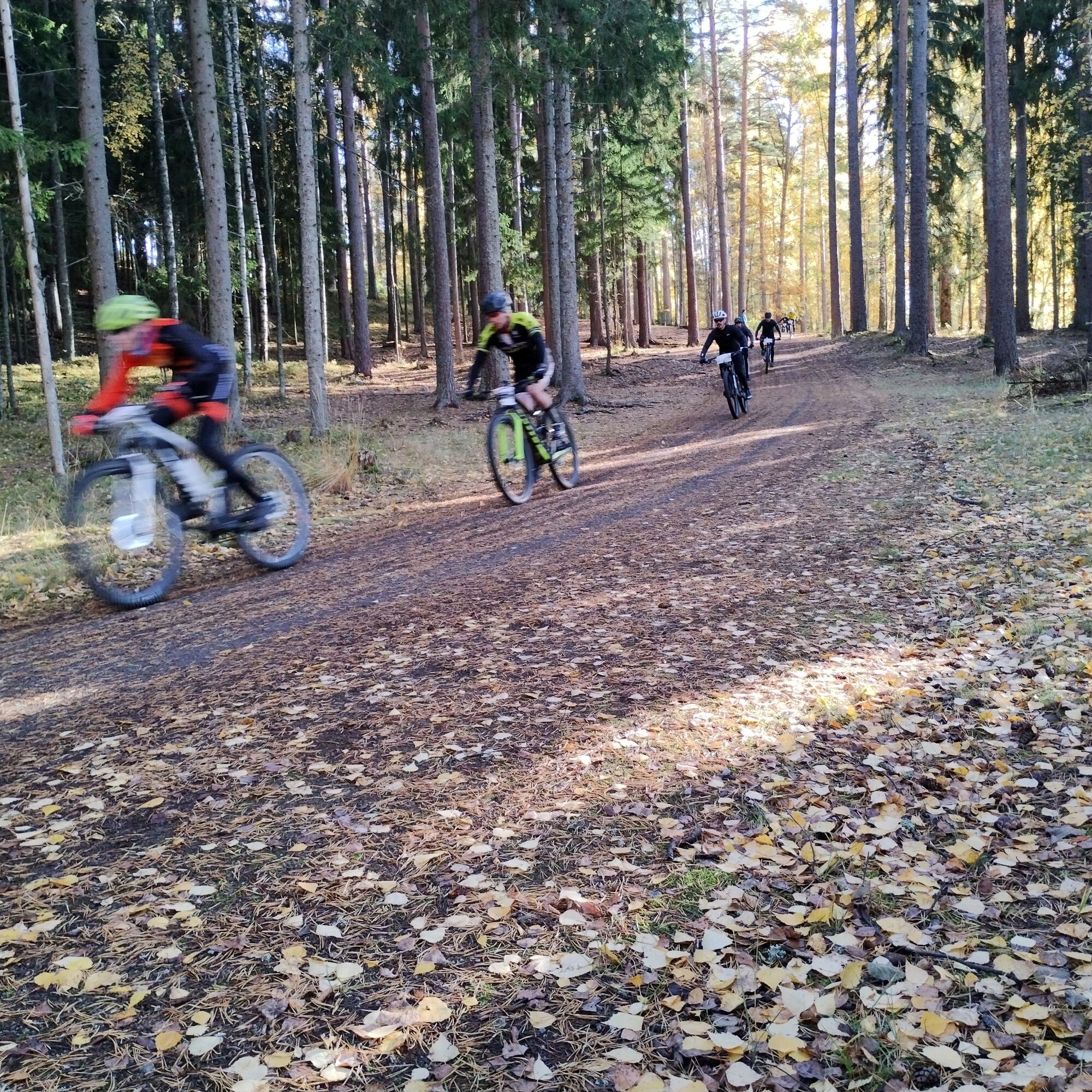
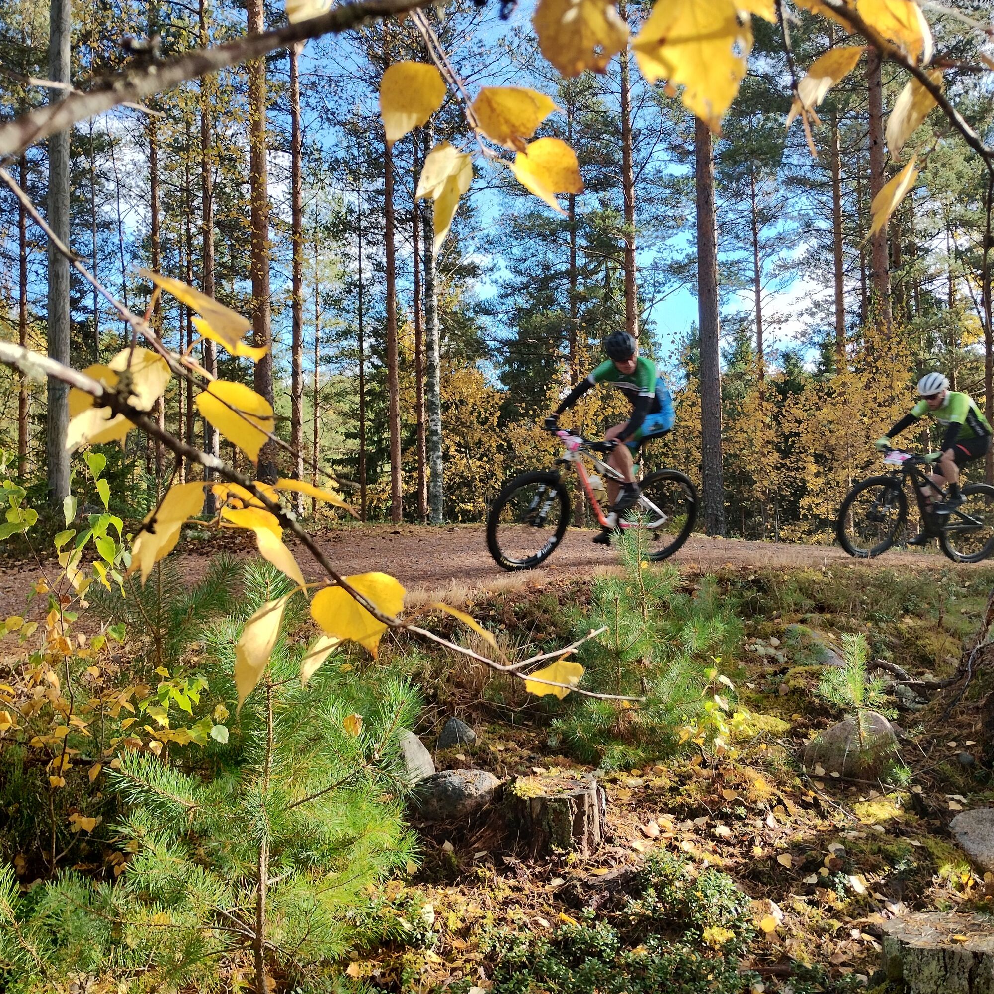
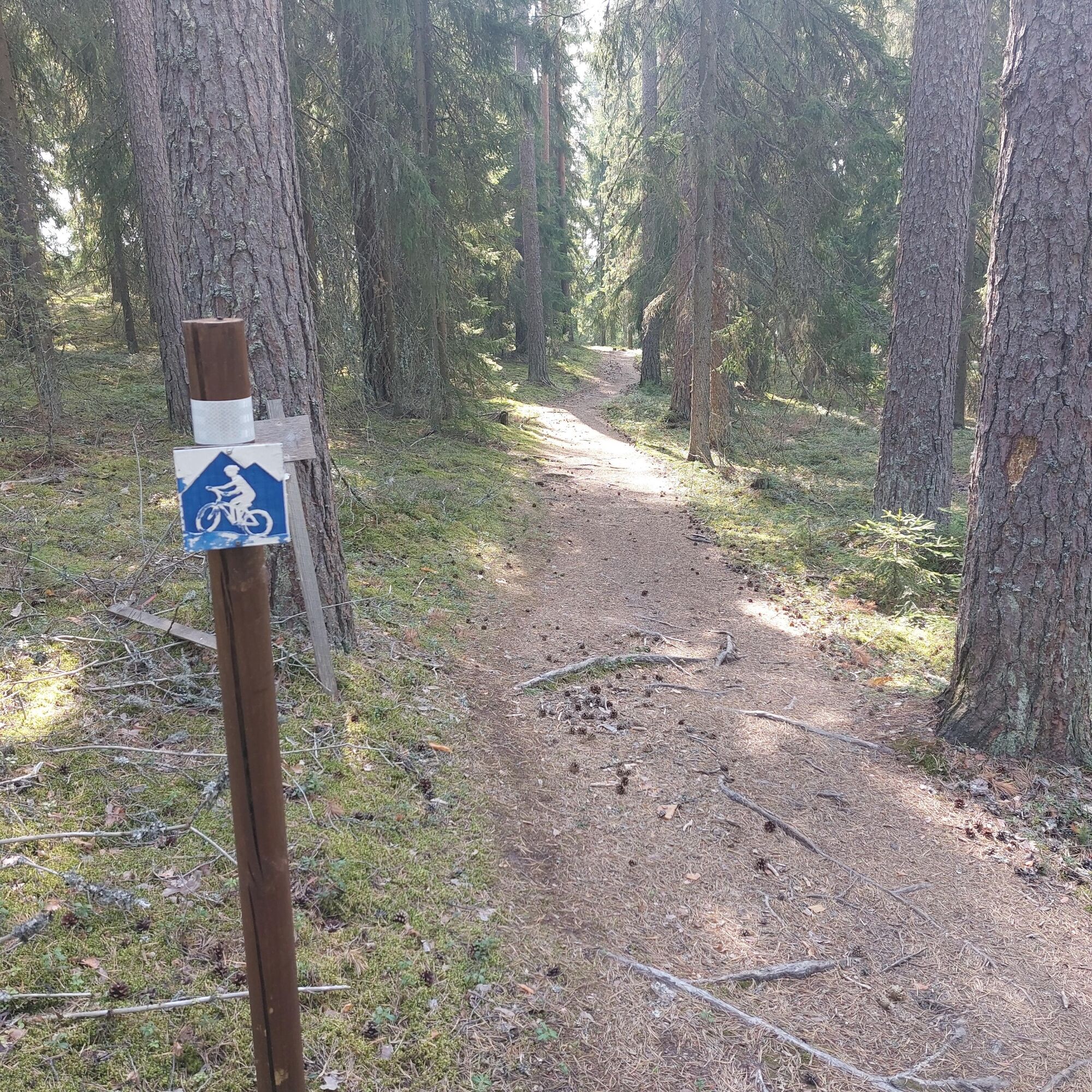
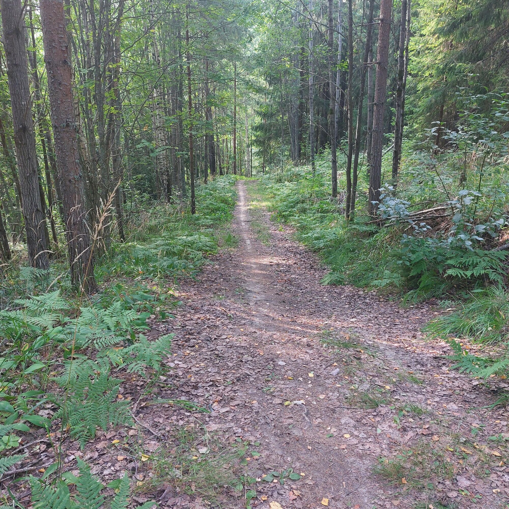

You can access the route directly from the parking lot of Kiipula Vocational College Guest House. From the information board, follow the blue cycling signs along the ski tracks. After the descent, turn left where the route splits onto a trail. The route continues to Pirttisuo, through which a gravel road runs. After the swamp, turn left again where the trail joins the main outdoor route. Continue along a beautiful pine forest for about 1.4 km, where the outdoor route then curves right towards a gentle uphill. About halfway, there is a left turn where a smaller needle trail winds through the forest. After this, you reach the Kiipulantie information board, turn right here, continue along the gravel route past a gravel extraction area curving uphill to the right. Follow the ski tracks passing Sikovuori, then head towards Vuorela. After Vuorela, continue along the needle trail for about 3 km in ridge terrain all the way to the Käpälämäki gravel pit. From here, gently ascend the road before the final trail section, at the end of which you overcome the last climb at Istulaudanmäki. After this, comes a long descent rewarding the cyclist just before Kiipula.
Ano
The mountain bike route is suitable from beginners to experienced enthusiasts. The route is marked in the terrain with blue and white cycling signs.
When arriving from the south, turn from the E12 road to Leppäkoskentie, then onto Kiipulantie. When arriving from the north, turn from the E12 road to Turengintie, which then turns onto Kiipulantie.
Hämeenlinna local transport operates route services to Kiipula's Janakkala location. Timetables, prices, and payment methods are available at: hameenlinna.fi/asuminen-ja-ymparisto/joukkoliikenne/aikataulut-ja-reitit/
Parking lot of Kiipula Vocational College Guest House.
S1
The route is marked in the terrain with blue cycling symbols.
The annual KiipMTB race is held in Kiipula, with a route differing from the main mountain bike route in length and difficulty level. More information can be found at: https://www.kiipula.fi/kiipmtb/
Oblíbené prohlídky v okolí
Pikku-Sisu route 12 km
světloJízda na kole 12.1 kmStory Path
světloTematická stezka 0.60 kmTurenki-Kolmilammi Esker trail 15 km
Turistika 14.9 kmHämeen Ilvesreitti Ahvenisto-Katiskosken kota 13,5 km
Turistika 13.5 kmHämeen Ilvesreitti Katiskoski-Heinisuo
Turistika 4.18 kmTest route
světloTematická stezka 0.22 kmKatiskosken laavu
Turistika 1.23 kmKeskusta - Tikkurilan kirkko - Malmimäki - Tampere
světloCyklistika na velkou vzdálenost 253.9 kmHausjärvi - Turkhauta
středníTuristika 8.01 kmHämeenlinna - Vanajan kirkko - Mantereenvuori
světloŠotolinové kolo 26.0 km

Pěší turistika a stopování


Nenechte si ujít nabídky a inspiraci pro vaši příští dovolenou
Vaše e-mailová adresa byl přidán do poštovního seznamu.


