






Cammino delle Terre della Dieta Mediterranea - LANDINGS OF SAN PRIMO - Stage II
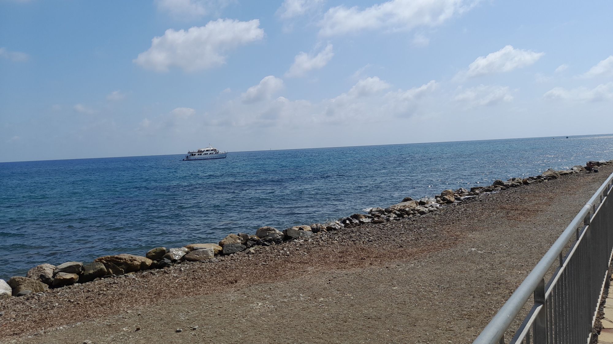
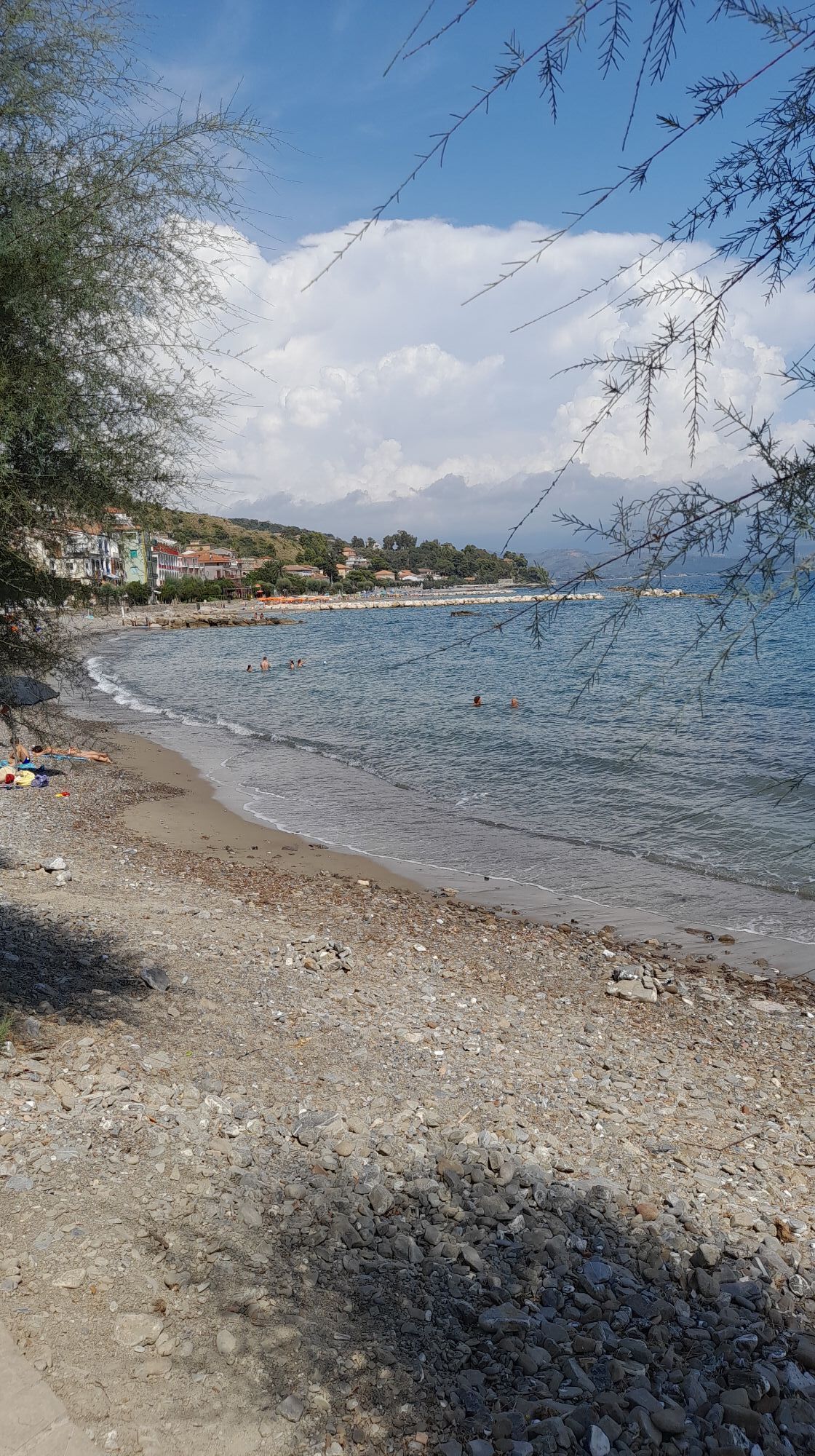
Among the hillside terraces where olives, figs and vines fade into the endless shades of green of the Mediterranean scrub and the art of dry stone walls (a UNESCO heritage), until reaching the crystal...
Among the hillside terraces where olives, figs and vines fade into the endless shades of green of the Mediterranean scrub and the art of dry stone walls (a UNESCO heritage), until reaching the crystal blue sea that bathes some of Italy's most beautiful beaches: a land that has always been a crossroads of food exchanges, today officially recognized as the homeland of the Mediterranean Diet and the land of good living
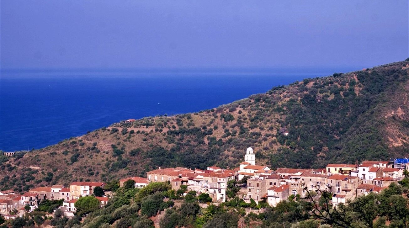
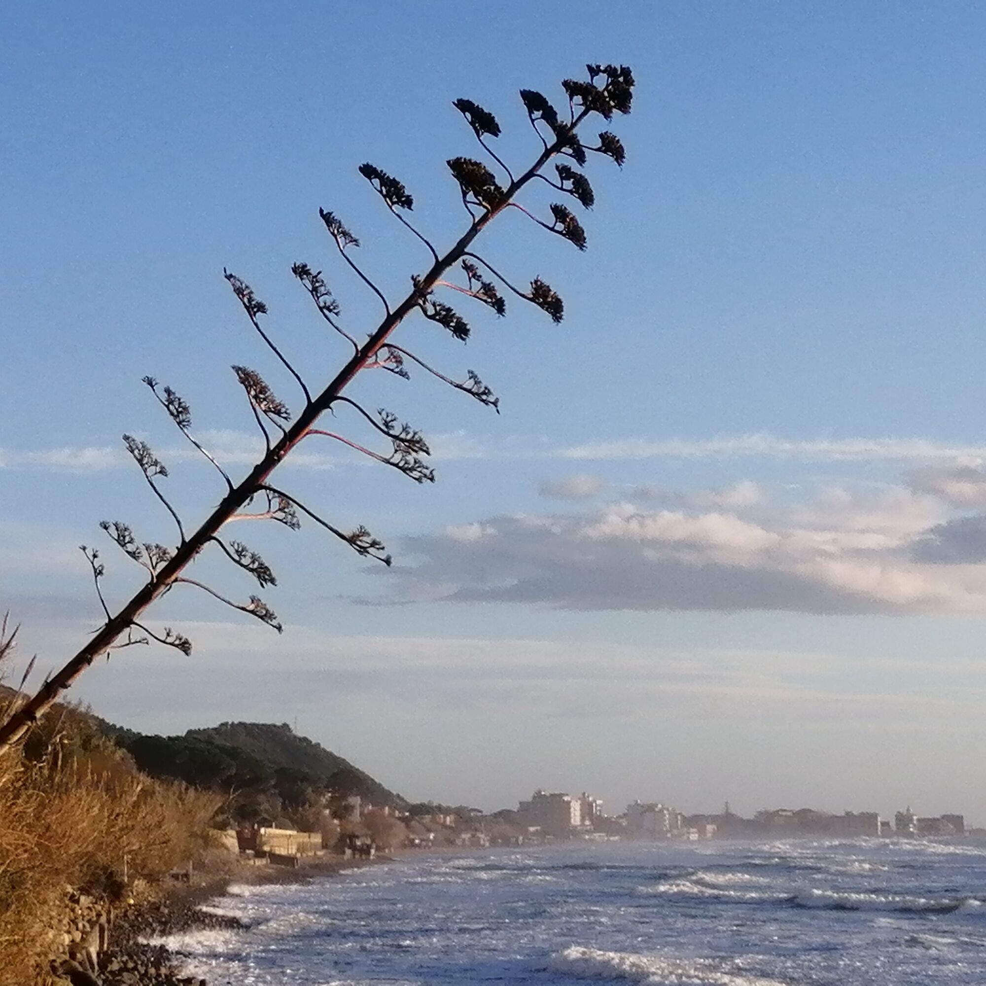
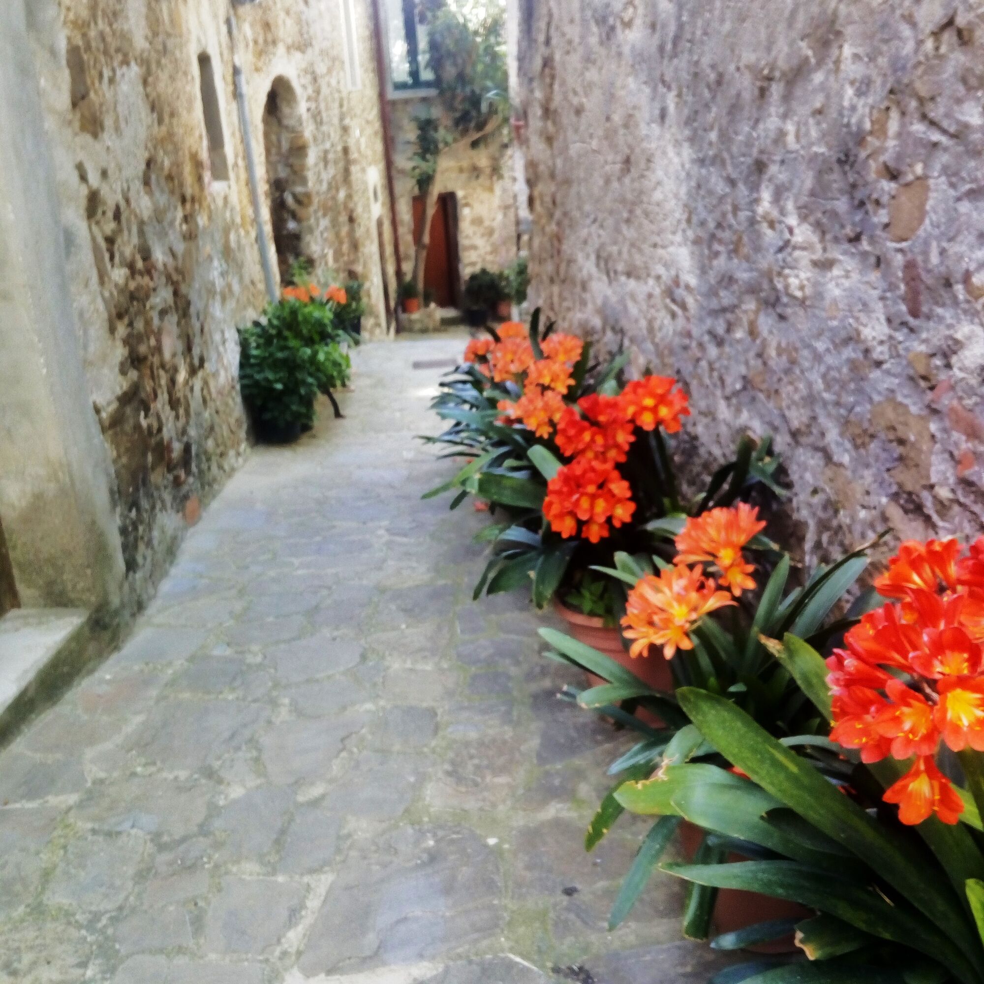
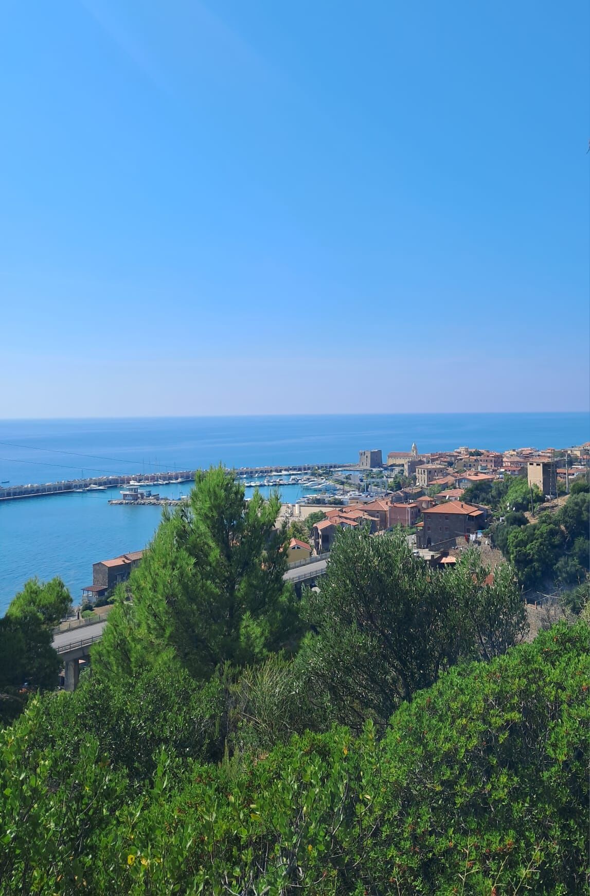
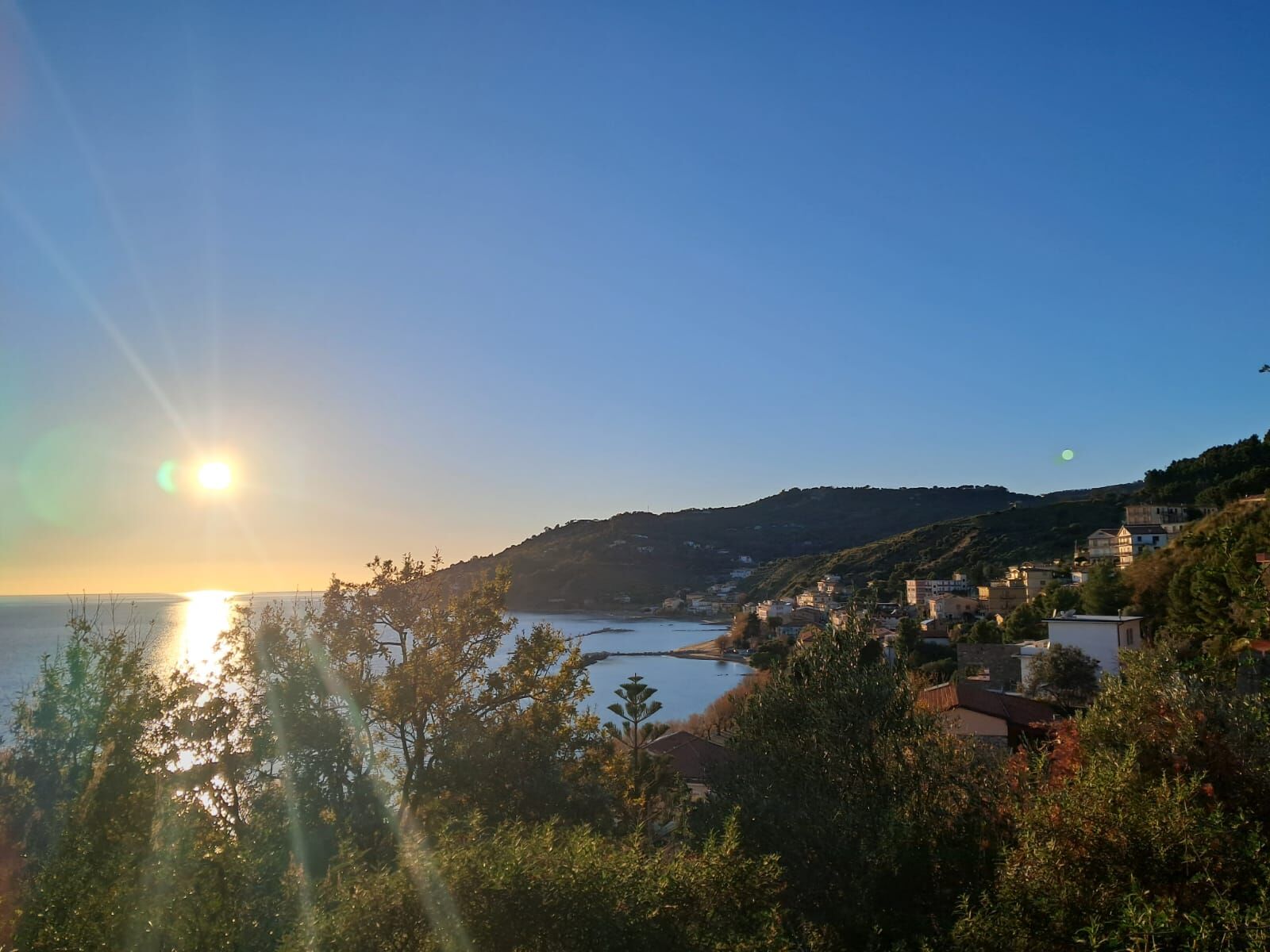

Departure from Casalvelino town center, descent from the hillside towards Località Piani, arrival on via Caracciolo in Pioppi and continue on the promenade to the area "Porto del Fico", crossing the Mortella stream and continue via the nature trail to the road bridge, from which you start to climb until you reach provincial road SP48; after a short stretch of asphalt road, descent towards the area "Santa Venere" and arrival near the Caleo tower of Acciaroli, climb on the nature trail that starts at the entrance of the fishing village and ends at Cannicchio, where the second stage ends.
Ano
Ano
Technical trekking shoes, comfortable layered clothing, windbreaker, a raincoat, hat and sunglasses or other protection against UV rays, at least 1.5/2 liters of water and other personal necessities
Pay particular attention in the final part of the downhill section from Località Piani di Casalvelino leading to Pioppi: just after passing near the Pioppi tower and some steps, you exit onto the paved road near a curve
From the Salerno - Reggio Calabria highway, exit at Battipaglia or Eboli to merge onto SS18 towards Agropoli; from there you can continue by taking the highway called "Cilentana" with an exit at Vallo Scalo or, alternatively, take the "Via del Mare", the coastal Provincial Road (SS 267) exiting at Agropoli Sud towards Santa Maria di Castellabate and continuing to Marina di Casalvelino. From there, follow the signs to Casalvelino town center.
From all stations in Italy with a change in Naples or Salerno to take the regional train headed to Sapri and Reggio Calabria, get off at Ascea station. From the departure station to the starting point of the stage there is a distance of 8.7 km that can be covered on foot in about 2 hours, or by private taxi.
In Casalvelino town center it is possible to park in Piazza Colonnello L. Lista or in Piazza XXIII Luglio (next to the town hall), both in the center of the town and in both cases parking is free and unattended.
Route not recommended during the hottest months (July, August), as the route is mostly exposed to the sun
Oblíbené prohlídky v okolí
-
Cammino delle Terre della Dieta Mediterranea - STATE OF ELEA - 1st Stage
světloPoutní stezka 15.3 km -
Path of the Lands of the Mediterranean Diet - CORVO HILLS - 4th Stage
světloPoutní stezka 16.7 km -
CAMMINO DELLE TERRE DELLA DIETA MEDITERRANEA
heavyPoutní stezka 143.5 km -
Ascea - Zucchero & Cannella - Poseidonia - Bahia Beach Club
Tematická stezka 4.39 km -
Casal Velino - Marina di Casal Velino
světloTuristika 3.17 km -
Castellabate - M.Licosa - San Marco
heavyTuristika 20.2 km -
San Mauro Cilento - Pietra Mulacchio - Cozzo la Croce - Casal Sottano
středníTuristika 10.3 km -
Santa Maria di Castellabate - Chiesa della Santissima Vergine del Carmine - Oratorio Madonna della Pace - Chiesa Santa Maria Annunziata
heavySilniční kolo 61.4 km -
Palinuro - Lido La Torre - Agriturismo Armo - Chiesa Santa Maria Annunziata
heavySilniční kolo 84.6 km -
Novi Velia - Tempa della Rosalia - Tempa della Pantanella - Chiesa Santa Maria Annunziata
heavySilniční kolo 90.0 km
Pěší turistika a stopování


Nenechte si ujít nabídky a inspiraci pro vaši příští dovolenou
Vaše e-mailová adresa byl přidán do poštovního seznamu.





