


Nockberge-Trail: Hiking Route Stage 7
Fotografie našich uživatelů

 © Gerd PackVytvořeno dne 16.10.2022
 © Günther DullnigVytvořeno dne 08.10.2022
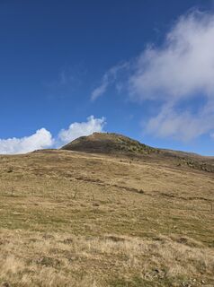
 © Hermann GösslerVytvořeno dne 14.10.2025
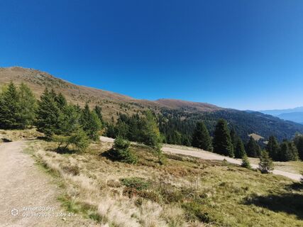
 © Peter Springer 1Vytvořeno dne 19.09.2025
 © Peter Springer 1Vytvořeno dne 19.09.2025
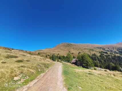 © Peter Springer 1Vytvořeno dne 19.09.2025
 © Peter Springer 1Vytvořeno dne 19.09.2025
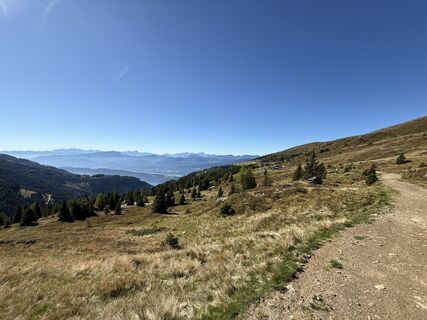
 © Wolfgang OberlerchnerVytvořeno dne 18.09.2025
 © Conny DeutschVytvořeno dne 15.09.2025
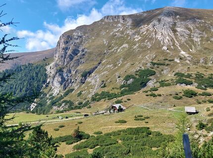 © Conny DeutschVytvořeno dne 15.09.2025
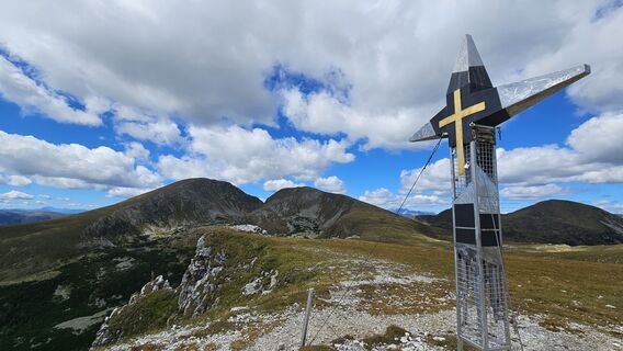 © Bernhard steinacherVytvořeno dne 31.08.2025
 © Romy BlumeVytvořeno dne 29.07.2025
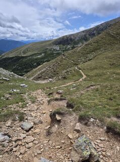 © Romy BlumeVytvořeno dne 29.07.2025
 © Romy BlumeVytvořeno dne 29.07.2025
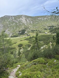
 © Andreas KoglerVytvořeno dne 12.07.2025
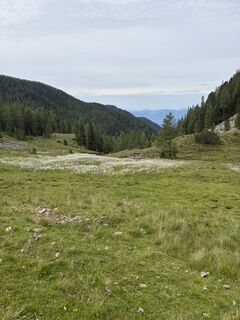 © Andreas KoglerVytvořeno dne 12.07.2025
 © Andreas KoglerVytvořeno dne 12.07.2025
 © AsariiVytvořeno dne 21.06.2025
 © Dagmar HoferVytvořeno dne 09.03.2025
 © Dagmar HoferVytvořeno dne 09.03.2025
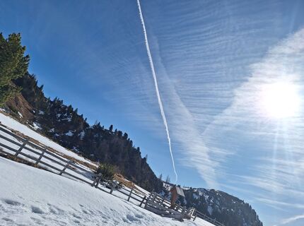 © Dagmar HoferVytvořeno dne 09.03.2025
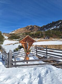 © Dagmar HoferVytvořeno dne 09.03.2025
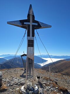 © Dagmar HoferVytvořeno dne 10.11.2024
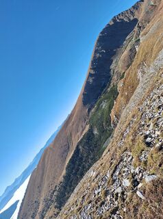 © Dagmar HoferVytvořeno dne 10.11.2024
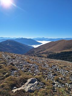 © Dagmar HoferVytvořeno dne 10.11.2024
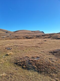 © Dagmar HoferVytvořeno dne 10.11.2024
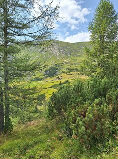 © Dagmar HoferVytvořeno dne 04.08.2024
 © Dagmar HoferVytvořeno dne 25.07.2024
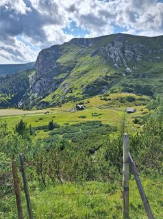 © Dagmar HoferVytvořeno dne 25.07.2024
 © Dagmar HoferVytvořeno dne 25.07.2024
 © Dagmar HoferVytvořeno dne 28.06.2024
 © Dagmar HoferVytvořeno dne 28.06.2024
 © Dagmar HoferVytvořeno dne 28.06.2024
 © Dagmar HoferVytvořeno dne 28.06.2024
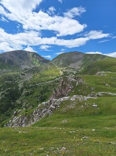 © Dagmar HoferVytvořeno dne 28.06.2024
 © Dagmar HoferVytvořeno dne 14.02.2024
 © Dagmar HoferVytvořeno dne 14.02.2024
 © Dagmar HoferVytvořeno dne 14.02.2024
 © Dagmar HoferVytvořeno dne 14.01.2024
 © Dagmar HoferVytvořeno dne 27.05.2023
 © Dagmar HoferVytvořeno dne 27.05.2023
 © Dagmar HoferVytvořeno dne 27.05.2023
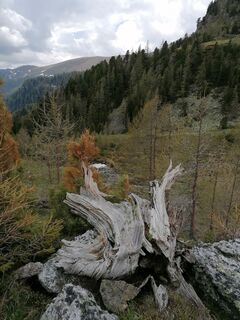 © Dagmar HoferVytvořeno dne 27.05.2023
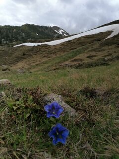 © Dagmar HoferVytvořeno dne 27.05.2023
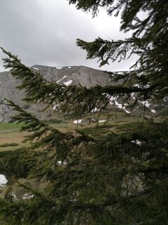 © Dagmar HoferVytvořeno dne 27.05.2023
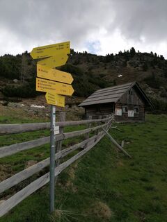 © Dagmar HoferVytvořeno dne 27.05.2023
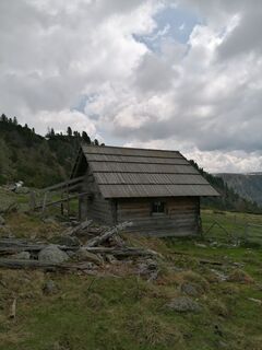 © Dagmar HoferVytvořeno dne 27.05.2023
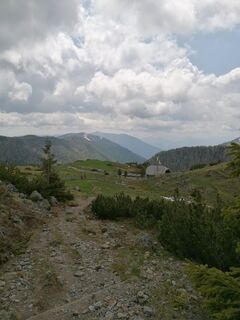 © Dagmar HoferVytvořeno dne 27.05.2023


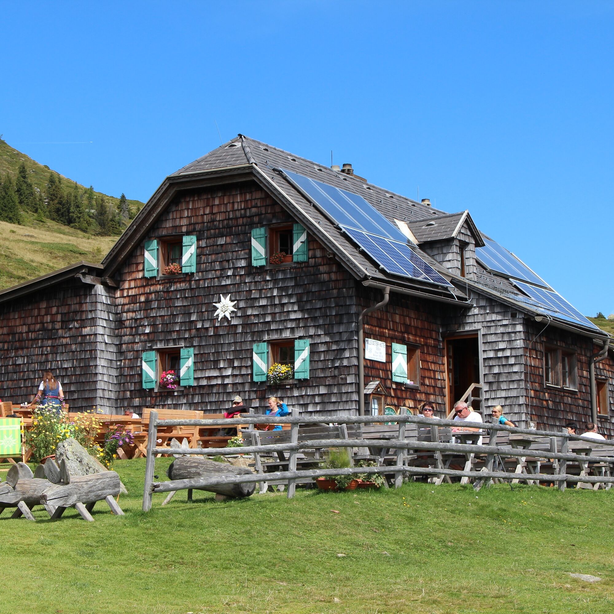
This long stage – together with stage 3 the longest of the Nockberge-Trail – connects two well-known hiking regions (Langalmtal with Erlacherhaus and Millstätter Alpe with Millstätter Hütte) to another...
This long stage – together with stage 3 the longest of the Nockberge-Trail – connects two well-known hiking regions (Langalmtal with Erlacherhaus and Millstätter Alpe with Millstätter Hütte) to another scenic and popular hiking area (Millstätter Alpe) over still very unknown paths.
Tip:
I hike worry-free on the Nockberge-Trail!
The official Nockberge-Trail info and booking center with the award-winning team of the Trail Angels is happy to support me. Whether advanced or beginner: I am in the best hands with the competent and helpful booking center team. Especially when I want to combine my personal freedom and longing for something special on my hike with service, comfort, and safety.
Information and booking:
Official Nockberge-Trail info and booking center
powered by Trail Angels
Obervellach 15, 9821 Obervellach
+43 4782 93093
info@nockberge-trail.com
www.nockberge-trail.com
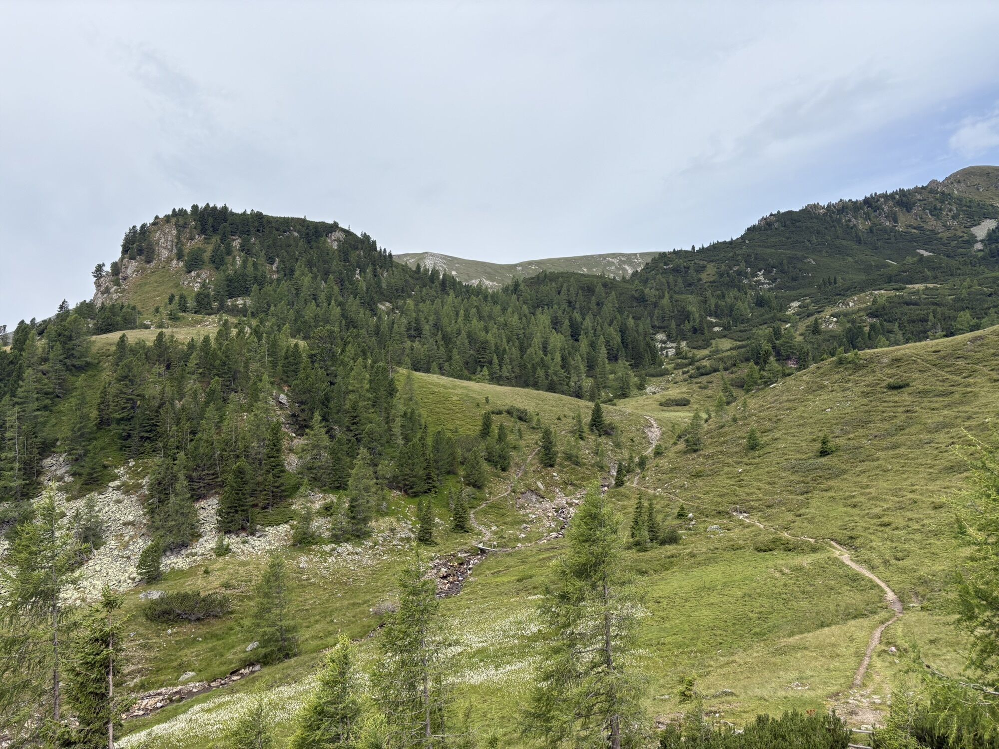
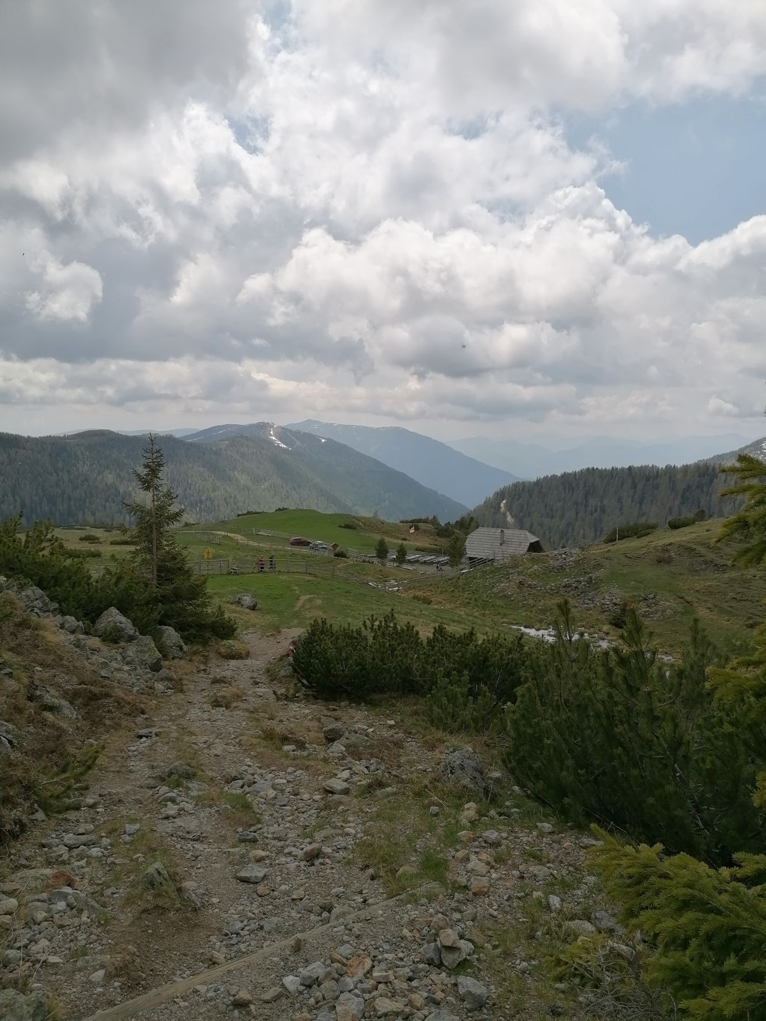
On my stage today, I start with the first 15 minutes, which are identical to the final section of the previous stage: I hike down the gravel road on the right until shortly after the right-hand bend a hiking trail branches off to the left. I follow this path upwards to the left until a fork in the trail. From here, the path changes: I choose path no. 122 straight ahead and follow it until a trail cross near the St. Oswalder Bockhütte (not visible). Here I turn left towards the Erlacher Bockhütte. I cross a small bridge and follow the hiking trail in a long right loop under the Arkerkopf to the Arkersattel. Over the gate, I descend to a trail cross just before the already visible Erlacher Bockhütte.
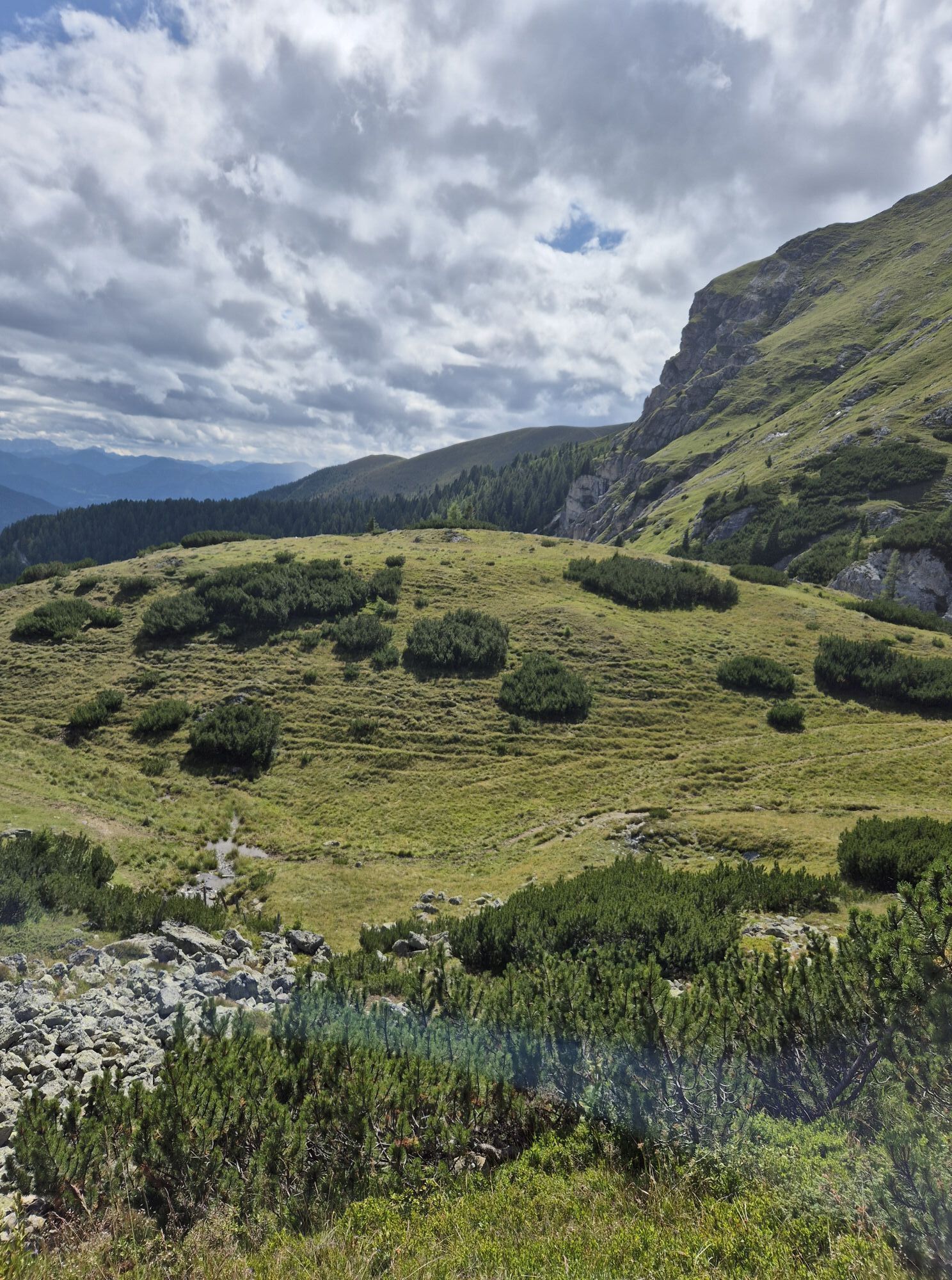
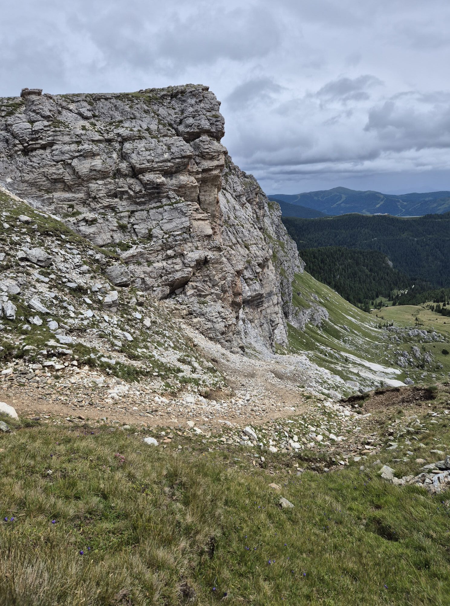
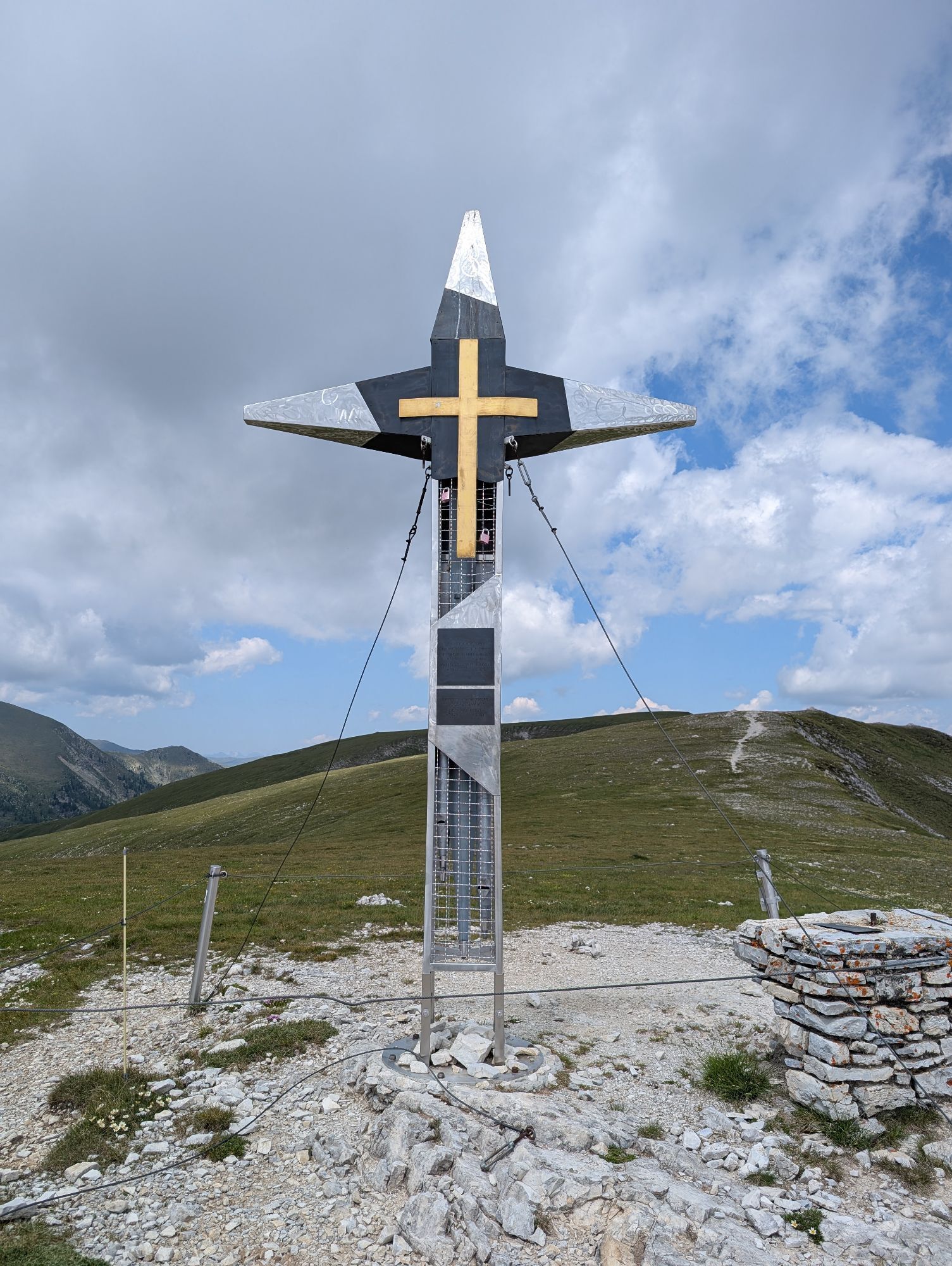
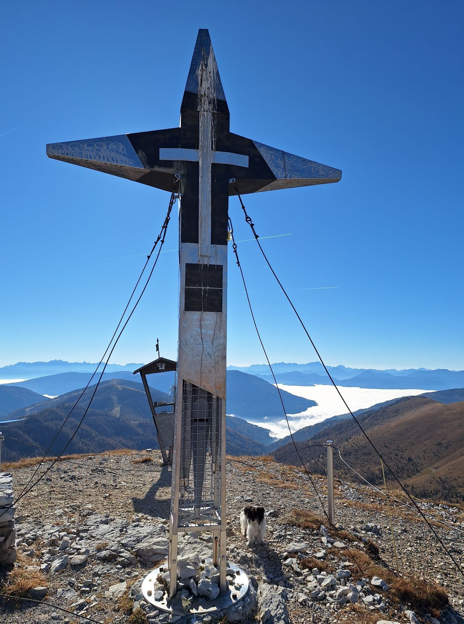
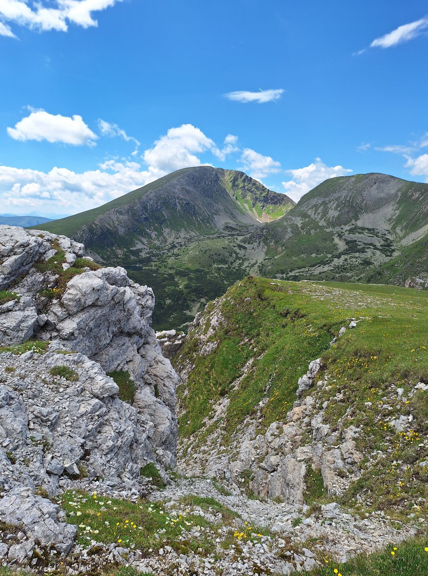
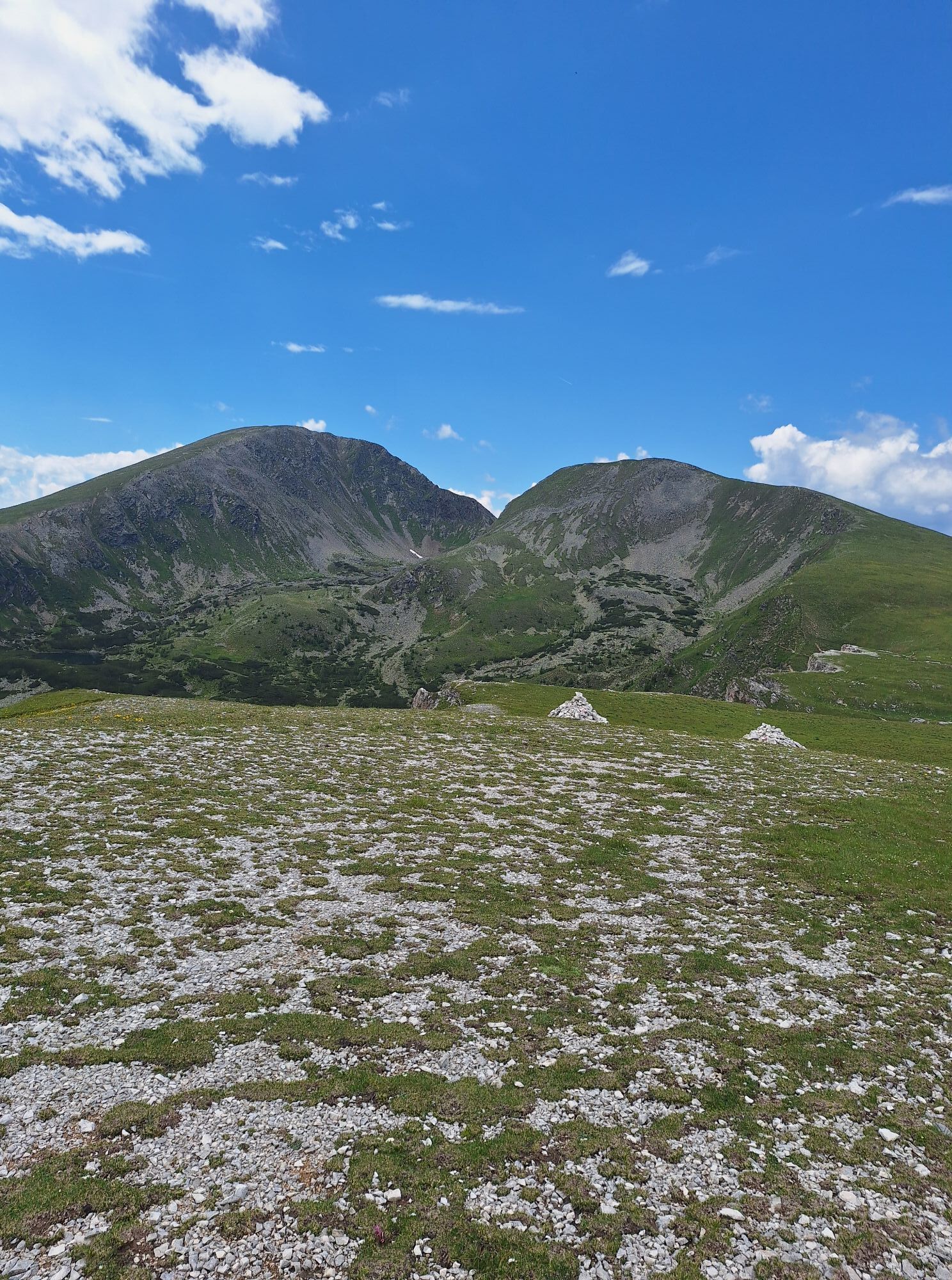
I choose the right path towards "Predigerstuhl." The path winds through a small valley to just before the Erlacher-Bock-Scharte, where I follow the signpost to the left towards Predigerstuhl. The path leads up a steep grassy slope to the ridge, from where I reach the summit cross of the Predigerstuhl by slightly descending to the left over the ridge (the Predigerstuhl is not the highest point of the Nocks but the spot that is clearly visible from the valley and looks very impressive).
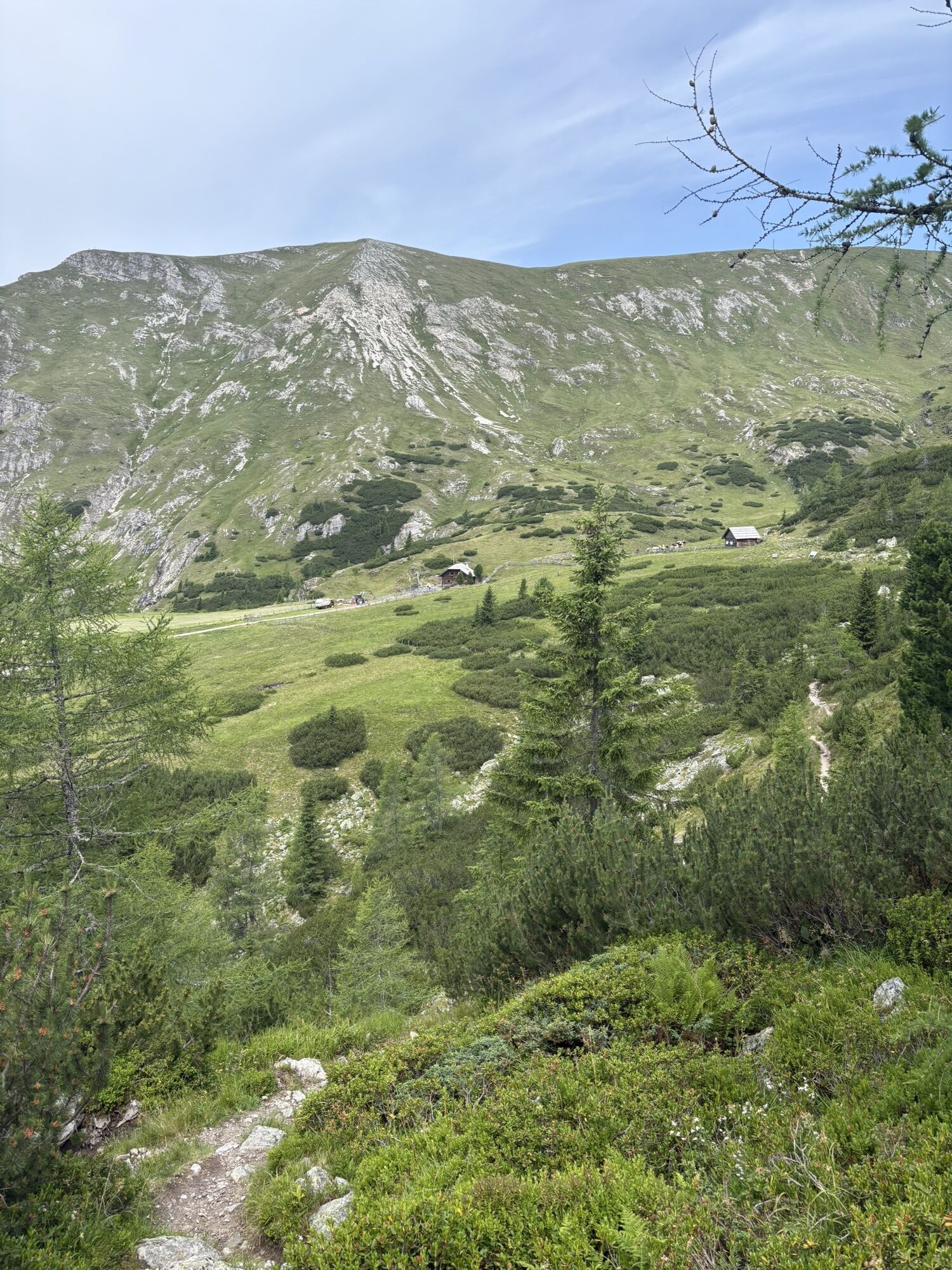
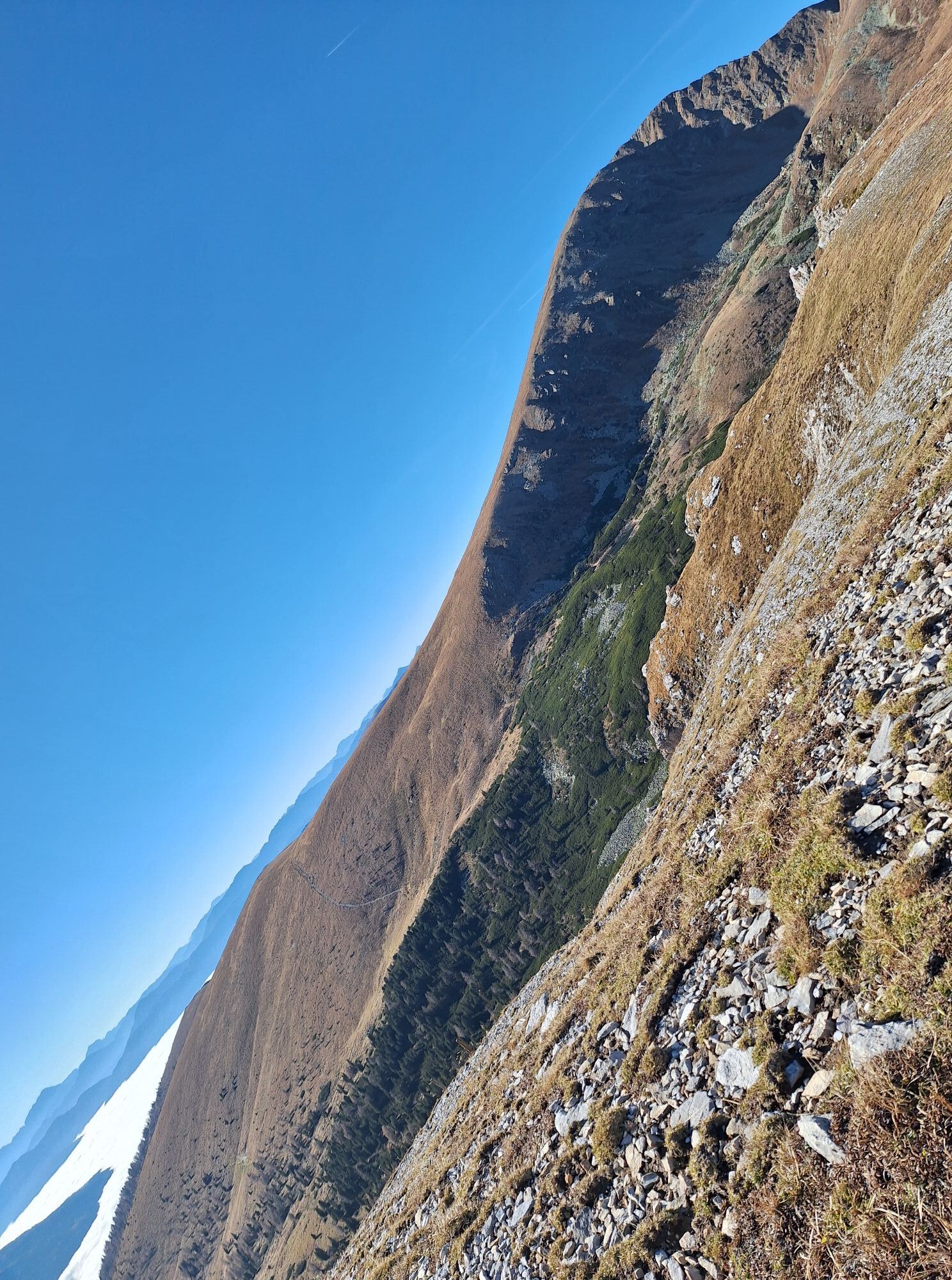
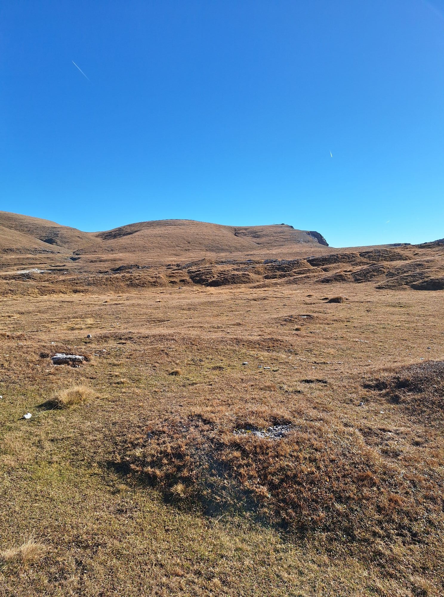
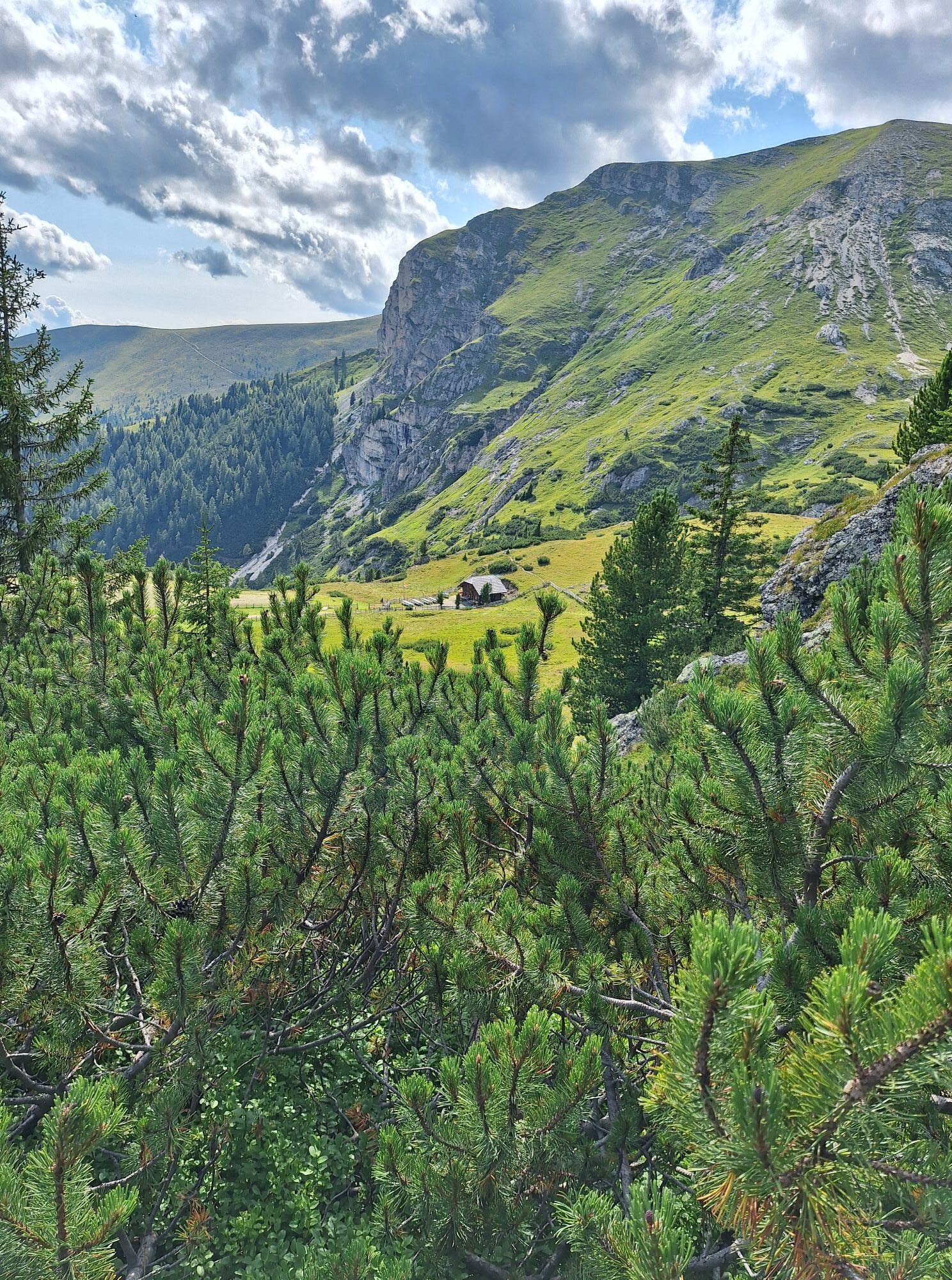
From the summit cross of the Predigerstuhl, I keep right (towards west-northwest) and follow the gentle meadow slope on barely visible trail tracks down to the Törl at a trail cross. Here I keep right and initially hike without trail tracks parallel to a fence over gentle alpine terrain to the north, climb over the fence at a crossing, and then keep somewhat above the stream course on a now somewhat better visible trail towards the Kaninger Wolitzenhütte.
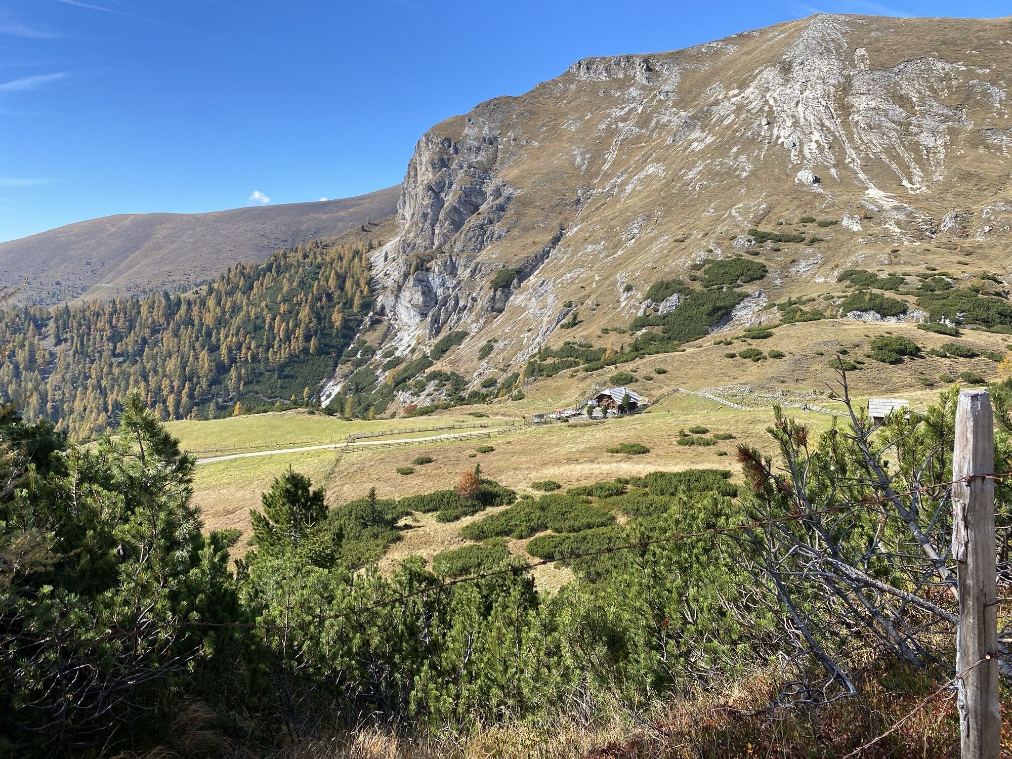
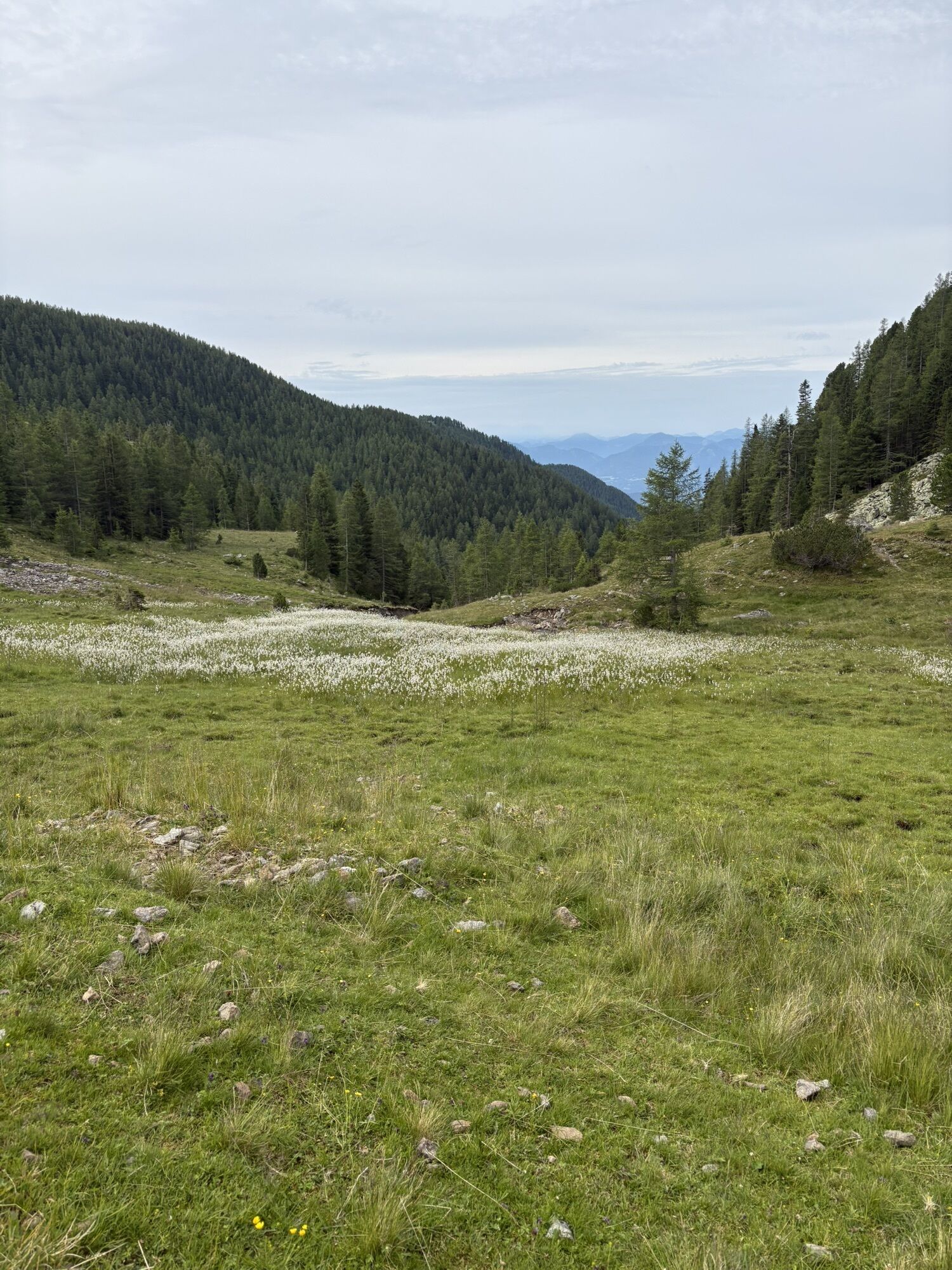
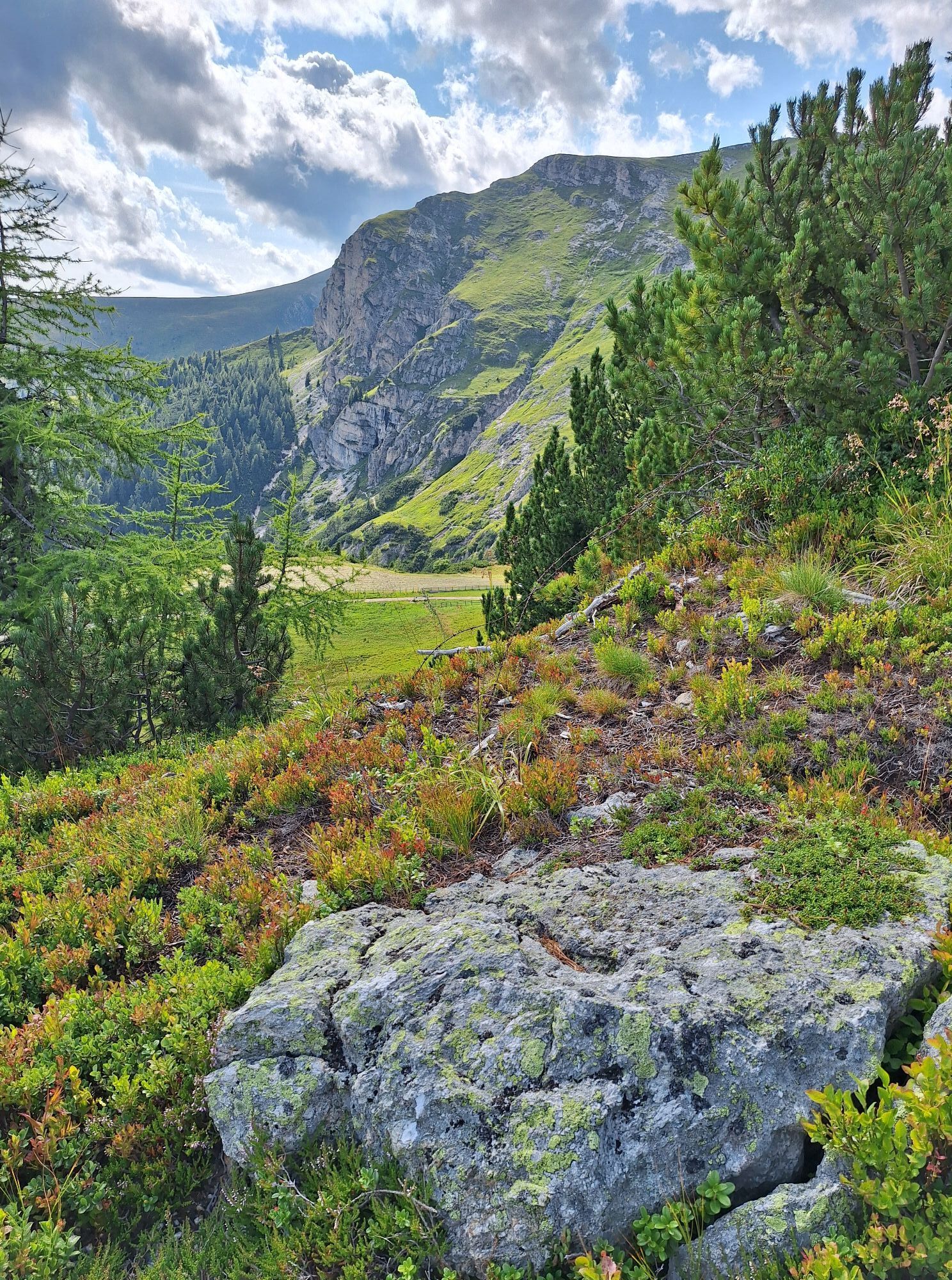
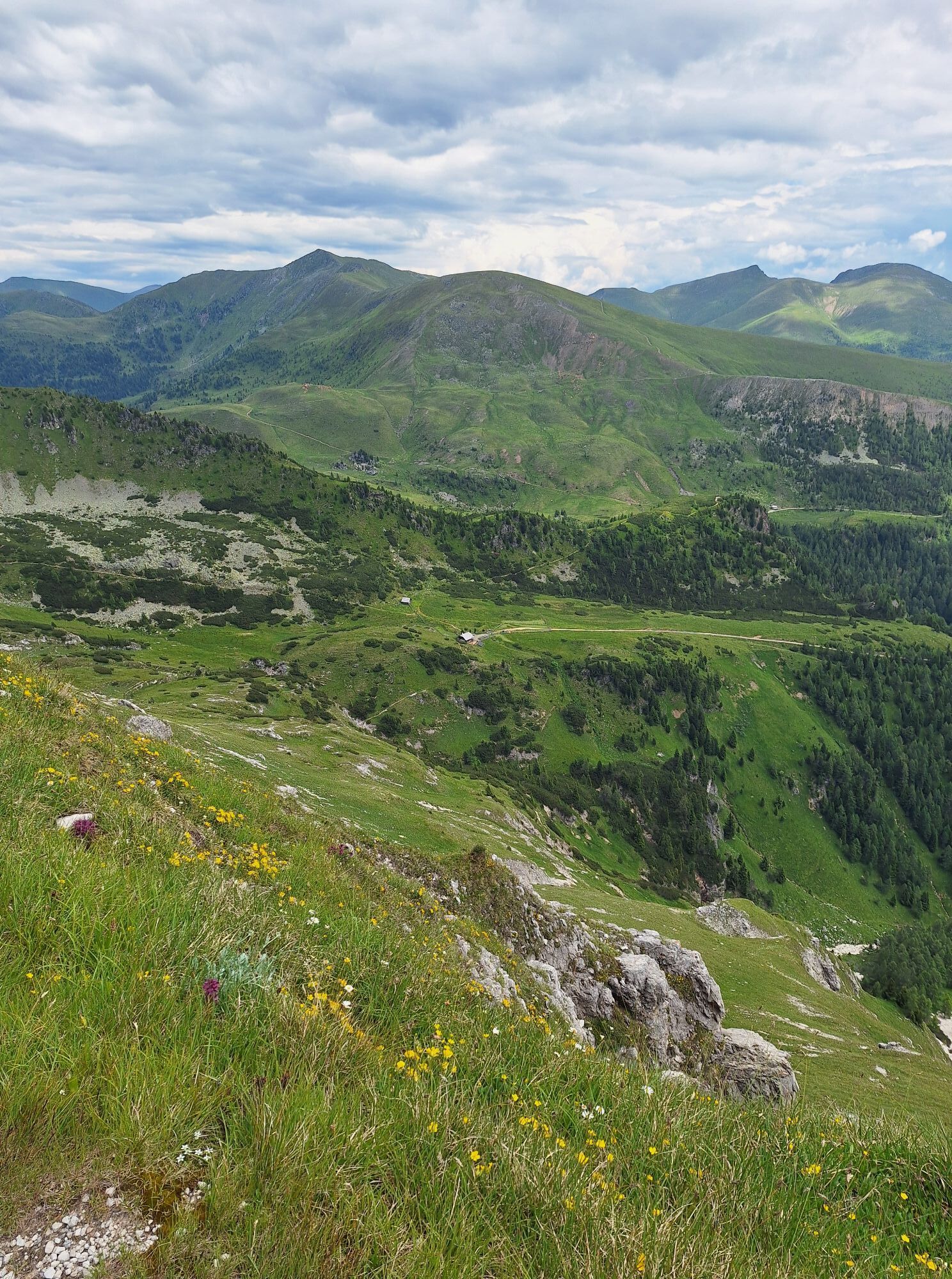
The hut lies incredibly idyllic in a wide saddle by a small lake. I hike past a trail cross along the south side of the lake to the left to a natural forest road, which I follow westward down the valley towards the Koflachtal. The valley is not only incredibly idyllic because of the meandering brook. After a while, I see the roof of an alpine hut just below a sharp left curve. 50 m later, a shortcut trail branches off to the right from the forest road. Shortly after, I reach the forest road again by descending over this trail, which I continue following downstream to a somewhat more prominent left bend. Here again, a hiking path branches off to the right, which I follow through the valley parallel above the stream through partially somewhat damp terrain. After some time, I reach another forest road and follow it downstream until the Lämmerhütte. The small alpine hut is staffed in the summer, and I can quench my thirst there.
Immediately after the Lämmerhütte, I turn right onto the forest road (signpost "Lamprechthütte"). I follow it upstream over the stream and on the other side of the stream again downstream until a gate on the right where a hiking trail branches off. I follow this for a short stretch to a very overgrown forest road and then hike left. The forest road becomes less overgrown; behind the second gate, I come to a forest road fork. I choose the right forest road and follow it in a slight uphill and downhill to the Hoisbauerhütte. Through the hut area and further along the forest road, a right-left hairpin climb, and along the Thomannbauerhütte – thus I reach more or less straight ahead another large gravel road at the Nöringsattel.
Now on the road about 150 m to the right, until a beautiful hiking trail branches off to the left through forests and over alpine meadows towards the Alexanderhütte.
Ano
Important prerequisites for a successful mountain tour, besides careful study of guides and maps, are optimal equipment.
Basic equipment includes:
solid, well-fitting mountain or hiking boots with grippy soles water- and wind-repellent mountain clothing in layers, hiking poles sunglasses, sun protection mobile phone and hiking map a first-aid kit as well as enough to drink and a snackProper behavior in the mountains
Careful tour planning using descriptions and hiking maps is essential for a successful mountain tour. Equally important is correctly assessing the mountain experience, fitness, surefootedness, freedom from dizziness, and resilience of all participants. Never leave marked hiking trails and avoid shortcuts. Inform yourself about the weather conditions before the hike and return to the valley if the weather deteriorates. The mountains are for everyone. Helping to preserve and keep them clean is the duty of every hiker. Take all waste down to the valley and protect the animal and plant world. Always keep dogs under control and on a short leash. If an attack from a grazing animal is foreseeable, immediately release the dog. Austrian farmers contribute significantly to preserving our alpine landscape. Visitors are asked to adapt respectfully to this beautiful landscape. Respect the people working here, nature, and the animals.Here are the most important emergency numbers in the event of an accident in Austria:
140 Alpine emergency call
144 Rescue emergency call
112 European emergency call (possible from all networks. Turn off the mobile phone and, after turning it on again, dial "112" instead of the PIN)
By car:
from the east via the South Motorway (A2) Vienna – Graz – Klagenfurt – Villach – Spittal/Drau; or from Villach via the Gegendtal to Radenthein
from the south via Autostrada Udine – Tarvisio – Villach – Spittal/Drau; or from Villach via the Gegendtal to Radenthein
from the west via Innsbruck – Felbertauernstraße or Brenner motorway/Pustertal to Lienz – Oberdrauburg – Spittal/Drau to Radenthein
from the north via Munich – Salzburg – Tauern motorway (A10) towards Spittal/Drau up to the Millstätter See exit (left turn) to Radenthein
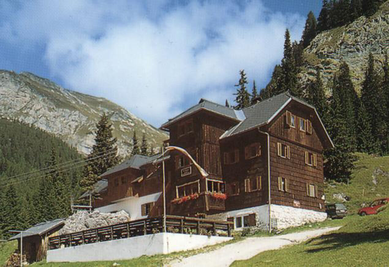
from Radenthein via Kaning and over the toll alpine road (€4,- | Attention: coin-operated barrier; have exact change ready) into the Langalmtal to the Erlacherhaus.
The Nockmobil takes you to the Erlacherhaus (stop number 9113) and from the Schwaigerhütte (30 minutes on foot away from the Millstätter Hütte, the stage destination) back to my starting point.
Nockmobil
As a feeder to public transport, Nockmobil is a green alternative to the car as an on-demand call-collective taxi and brings us flexibly from stop to stop.
Let us be taken with the Nockmobil to the starting point of our hike (stop number xx) and back again.
For booking a ride with the Nockmobil, we recommend a lead time of about one hour. We can book our call-collective taxi via the app.
Carinthia station shuttle
Comfortably and directly from the station to your accommodation with the Carinthia station shuttle: https://www.bahnhofshuttlekaernten.at/
There are plenty of free parking spaces available at the Erlacherhaus.
Further information about the Nockberge-Trail can be found at the official trail booking center at www.bookyourtrail.com.
Further information about the region's hiking area is available at:
Region Millstätter See - Bad Kleinkirchheim - Nockberge
+43 (0) 4246-37444
info@mbn-tourismus.at
www.seeundberg.at/wandern
The UNESCO Biosphere Park Carinthian Nockberge
Majestic, mighty, and unique – the UNESCO Biosphere Park Carinthian Nockberge is an alpine gem with unique natural treasures, a diverse cultural landscape, and rare animal and plant species. For centuries, people have lived here in harmony with nature. Gently rolling hills with peaks over 2400 meters and picturesque alpine meadows – the Biosphere Park Carinthian Nockberge is a rare natural idyll in the middle of the Austrian Alps and covers an area of about 500 square kilometers.
In 2012, it was designated as a biosphere park by UNESCO. The park is based on the three pillars of sustainability: ecological balance, economic security, and social justice. Here, life is in harmony with nature, and the rare animal and plant world are respected and cherished.
Regional products, processed according to old traditions, testify to careful work according to handed-down recipes. Trained biosphere park rangers promise unforgettable tours for families, and this knowledge is also passed on to students in several education programs. Whatever season you visit, the Biosphere Park always offers a treasure chest full of experiences.
Further information about the UNESCO Biosphere Park Carinthian Nockberge is available at: www.biosphaerenparknockberge.at
The Nocky Mountains – Karst beauty with green summits
The source cirque glaciers and karst of the Nockberge hide a geological rarity. In a north-south limestone intrusion up to three kilometers wide, water sinks deep into the mountains. There it is heated by geothermal heat and emerges again in Bad Kleinkirchheim as 36 °C warm thermal water. In contrast to the rugged karst inside, there is the gentle exterior of the Nockberge. The word "Nock’n" evokes the association with something round, pleasing, if not the Salzburg Nockerln and the famous Carinthian Kasnockn. "Nock" is a regional word for "summit" – and the "Nocky Mountains" is a winkingly chosen name referencing the Rocky Mountains in North America.
Webové kamery z prohlídky
Oblíbené prohlídky v okolí
- 4.8
Schönfeld: Großer Königstuhl
středníTuristika 11.2 km - 4.8
Enzian-Granatsteig & Almbrunn Steig
světloTuristika 8 km - 4.9
Nockbergrundwanderweg
středníTuristika 6.62 km - 4.6
Falkertsee - Sonntagstal - Falkert
středníTuristika 4.84 km - 4.6
Millstätter See cycle track
středníJízda na kole 27.7 km - 4.8
Große Rosennock Runde
Turistika 9.80 km - 4.9
St. Oswald - Circular hike - Mallnock - Klomnock
středníTuristika 10.9 km - 4.7
Falkert, Murmelsteig B/C mit Direktem Abstieg
středníVia ferrata 3.61 km - 4.7
H-2-O Höhenweg
světloTematická stezka 5.40 km - 4.8
Nockhöhensteig
středníTuristika 7.67 km

Pěší turistika a stopování


Nenechte si ujít nabídky a inspiraci pro vaši příští dovolenou
Vaše e-mailová adresa byl přidán do poštovního seznamu.