


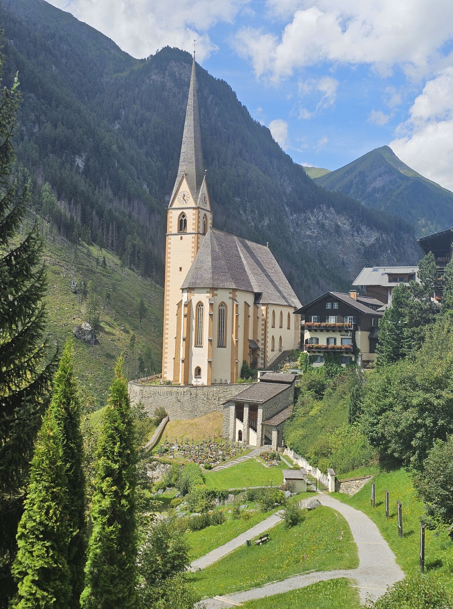
Circular route Heiligenblut - Jungfernsprung


The legend - a story passed down for many centuries, tells: A maiden fleeing from the devil – at her feet a vertical rock face. In her despair, she jumps and – carried by angels – survives the fall unharmed....
The legend - a story passed down for many centuries, tells: A maiden fleeing from the devil – at her feet a vertical rock face. In her despair, she jumps and – carried by angels – survives the fall unharmed. Today, the waters of the Zopenitzenbach roar down here – in three cascades, more than 130 meters high: The Jungfernsprung!
The waterfall is impressive - the hiking trail to get there is nevertheless easy. You leave the village along the Hadergasse towards the Sonnblick inn. Just after the bridge, turn right. Now it goes down to Pockhorn. Without any significant ascent, you follow the course of the stream until you reach the Jungfernstüberl and thus the entrance to the short, slightly steeper climb to a pulpit - where you can get close to the waterfall.

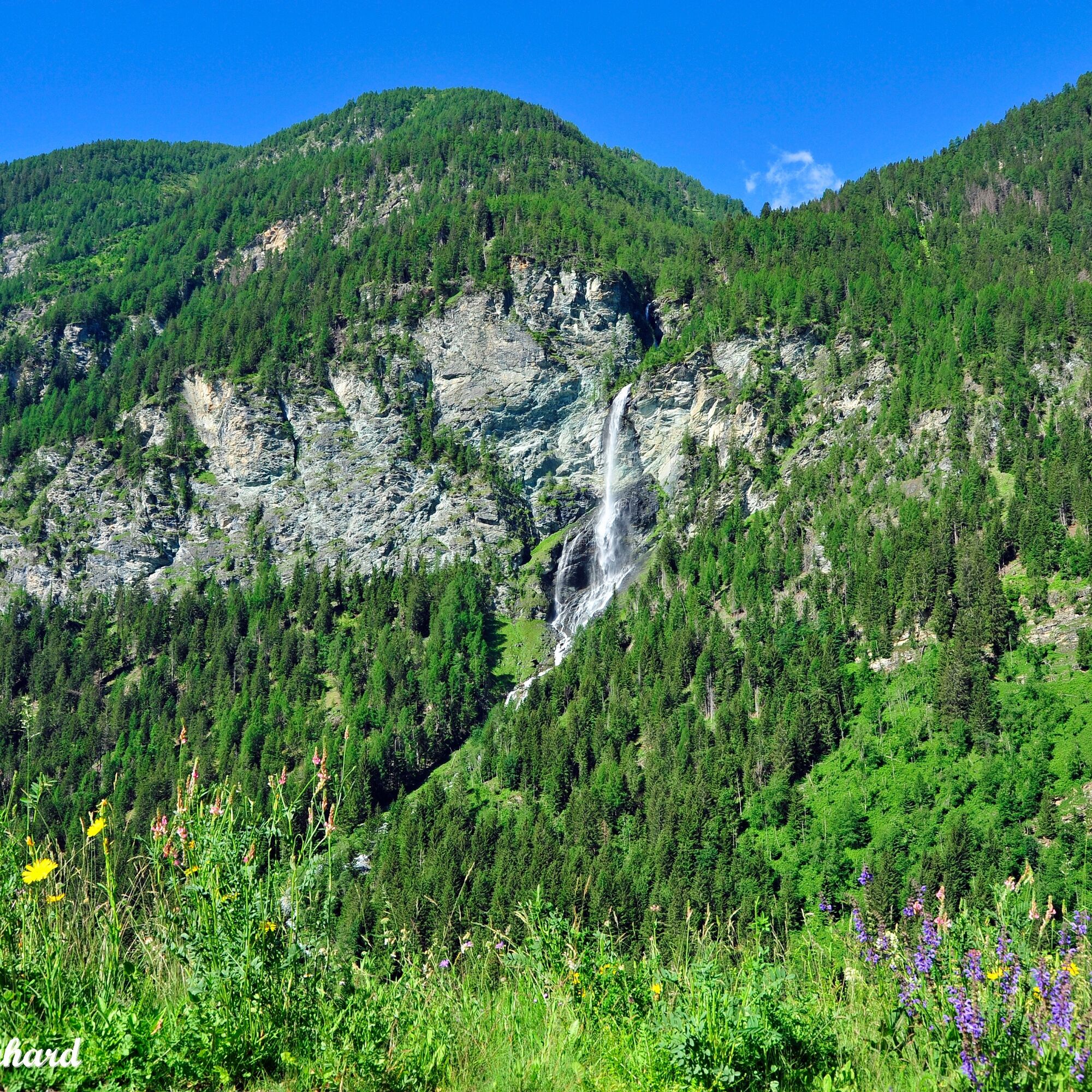
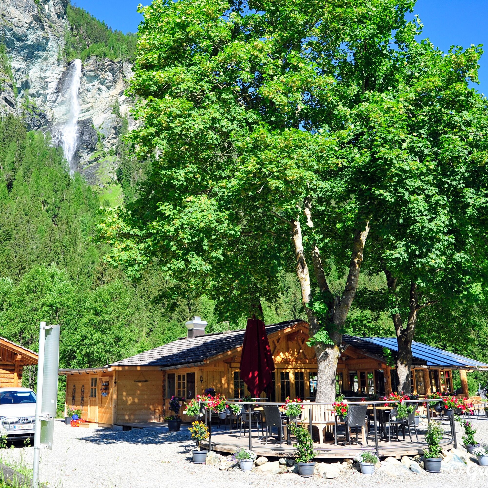
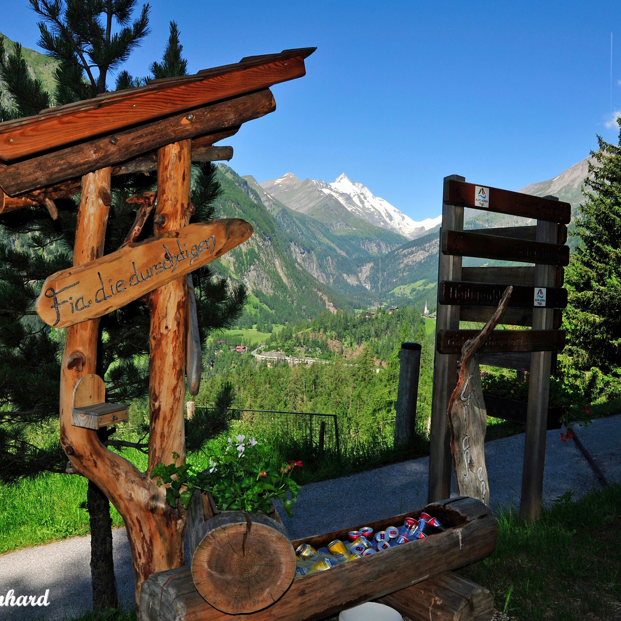
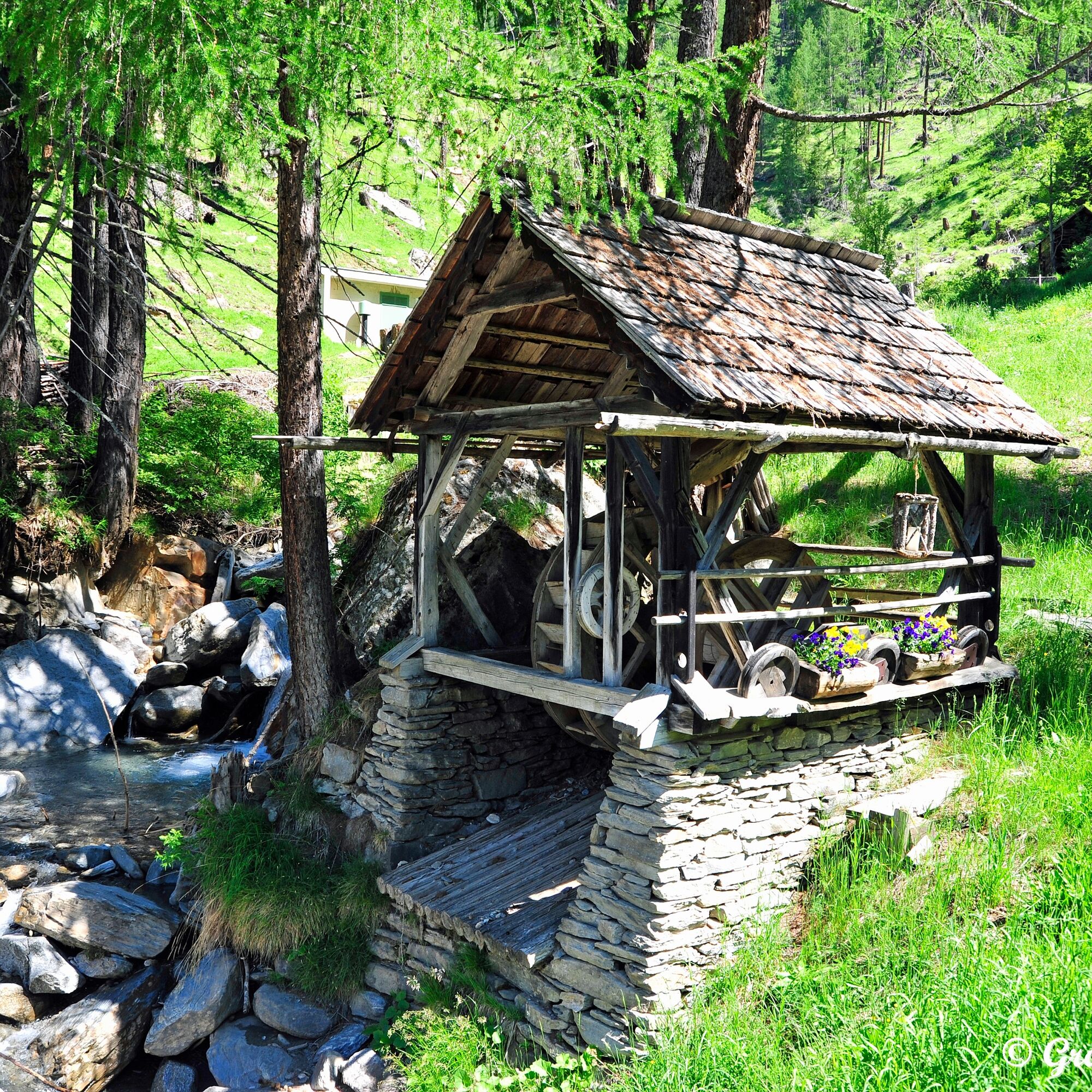
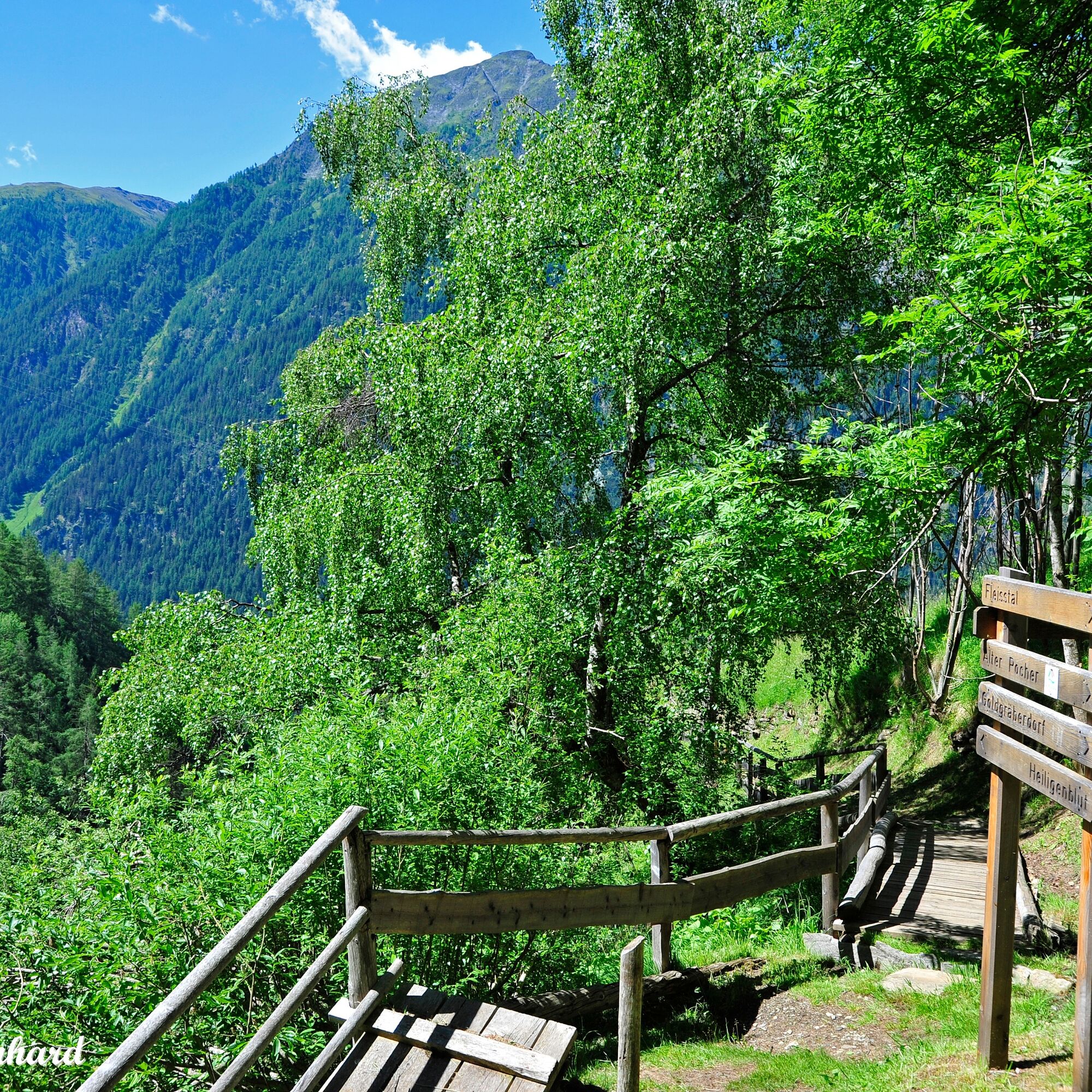

You start at the House of the Ibex in Heiligenblut and follow the Hadergasse along the Möll towards the Sonnblick inn. Just after the bridge, turn right. Now it goes down to Pockhorn. Without any significant ascent, you follow the course of the stream until you reach the Jungfernstüberl and thus the entrance to the short, slightly steeper climb to a pulpit - where you can get close to the waterfall. For the return route, you can either choose the same path or cross the federal road B107 and follow the path from the district of Aichhorn, which takes you past the picturesque Fleiß chapel and at the foot of the 2nd stage of the Alpe-Adria-Trail back to Heiligenblut.
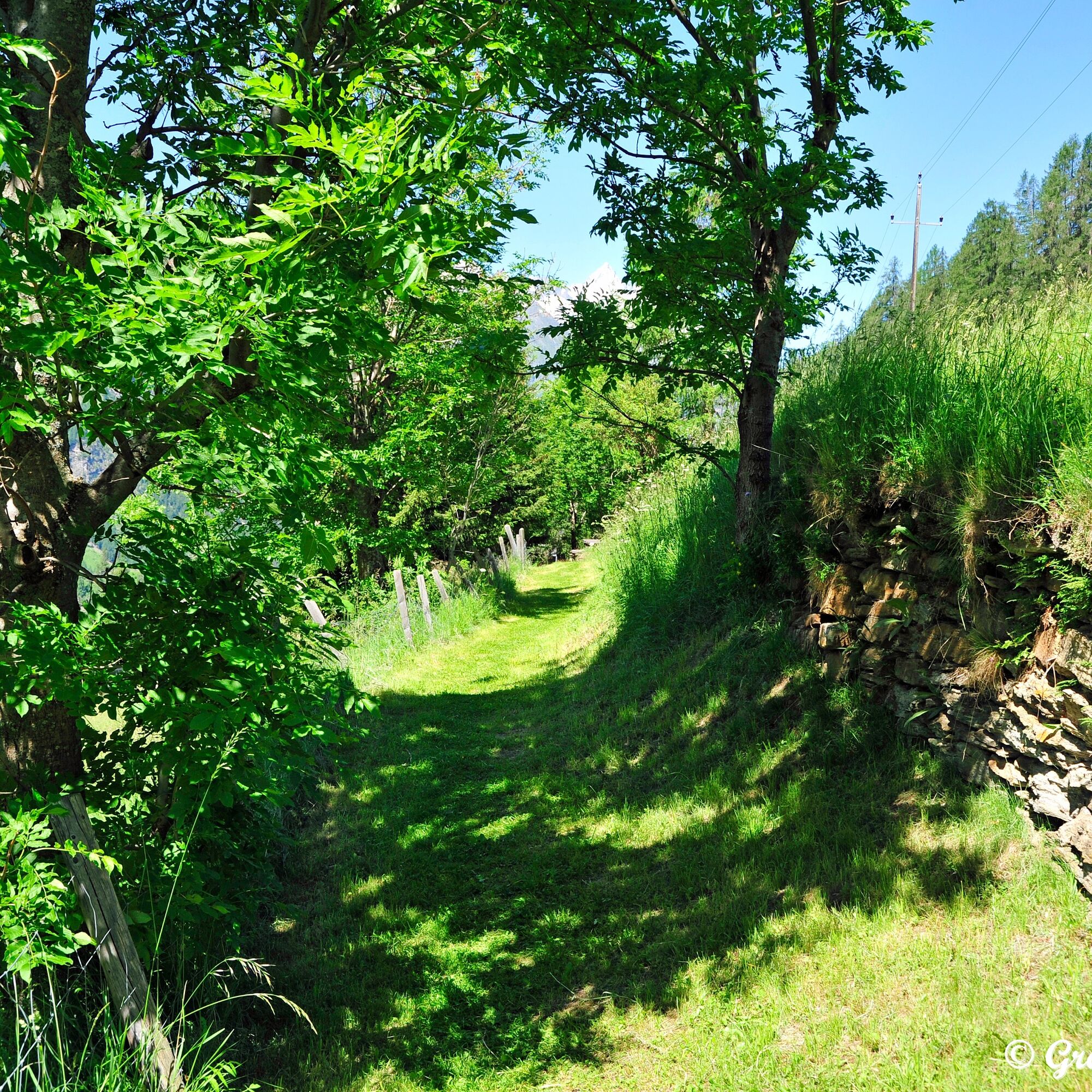
The described route can of course also be hiked in the opposite direction. Here you already have the destination - the Jungfernsprung - in sight during the hike.
Ano
Ano
Sturdy, non-slip shoes, hiking clothing, light jacket; backpack with drink and snack - there are no refreshment options along the path
Please bring a jacket - the spray of the water cools and there is always a cooler breeze near the waterfall.
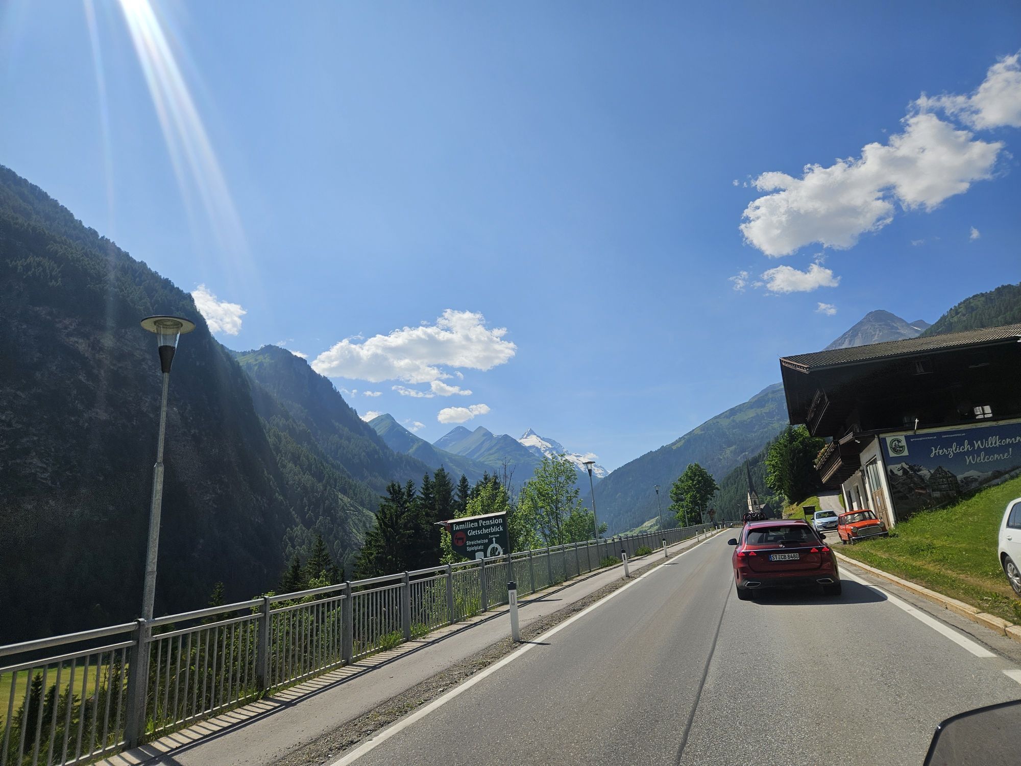
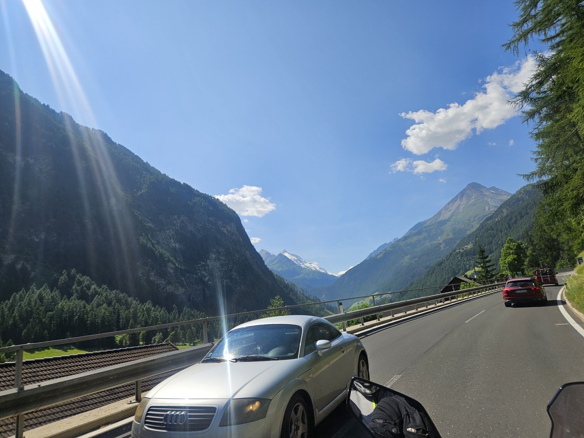
You can reach Heiligenblut am Großglockner from the south via Spittal/Drau or Lienz via Winklern - from there another 20 minutes by car to the Glockner village.
Heiligenblut am Großglockner (cable car valley station stop or Hotel Heiligenblut) is served several times daily by public buses on the Spittal-Winklern-Heiligenblut line. For a hike from Heiligenblut to the Jungfernsprung, you can also use the postbus from the Aichhorn stop for the return journey.
Free parking is available at the so-called "Schwarzen Platz" opposite Hotel Heiligenblut or paid parking in the garage directly at the entrance to Heiligenblut (House of the Ibex).
Ascent on the beautiful trail right up to the foot of the waterfall - also described here in the hiking portal
Oblíbené prohlídky v okolí
- 3,9
Glacier Route to the Pasterze with Gamsgrubenweg (up to Tunnel 6)
středníTuristika8,05 km - 4,7
Geotrail Tauernfenster
světloTuristika5,90 km - 4,7
Glödis 3206m: PP Seichenbrunn, Lienzer Hütte, Glödis KS A/B
heavyVysokohorská turistika16,1 km - 4,1
Gradental to Adolf Nossberger Hut - circular route
středníTuristika11,1 km - 4,7
Hohe Sonnblick Up
heavyTuristika9,14 km - 5,0
Figerhorn, 2743m, Lucknerhaus
středníTuristika6,69 km - 5,0
Rifflscharte - Kolmkarscharte - Bockhartscharte - Sportgastein
středníTuristika13,5 km - 4,8
Hike to the Wangenitzsee Hut
středníTuristika13,9 km - 5,0
Kaiser-Franz-Josefs-Höhe zur Oberwalderhütte
heavyTuristika5,52 km - 5,0
Panorama hike Glocknerblick-Asten
světloTuristika7,09 km
Pěší turistika a stopování


Nenechte si ujít nabídky a inspiraci pro vaši příští dovolenou
Vaše e-mailová adresa byl přidán do poštovního seznamu.