







Pirkerkogel Loop

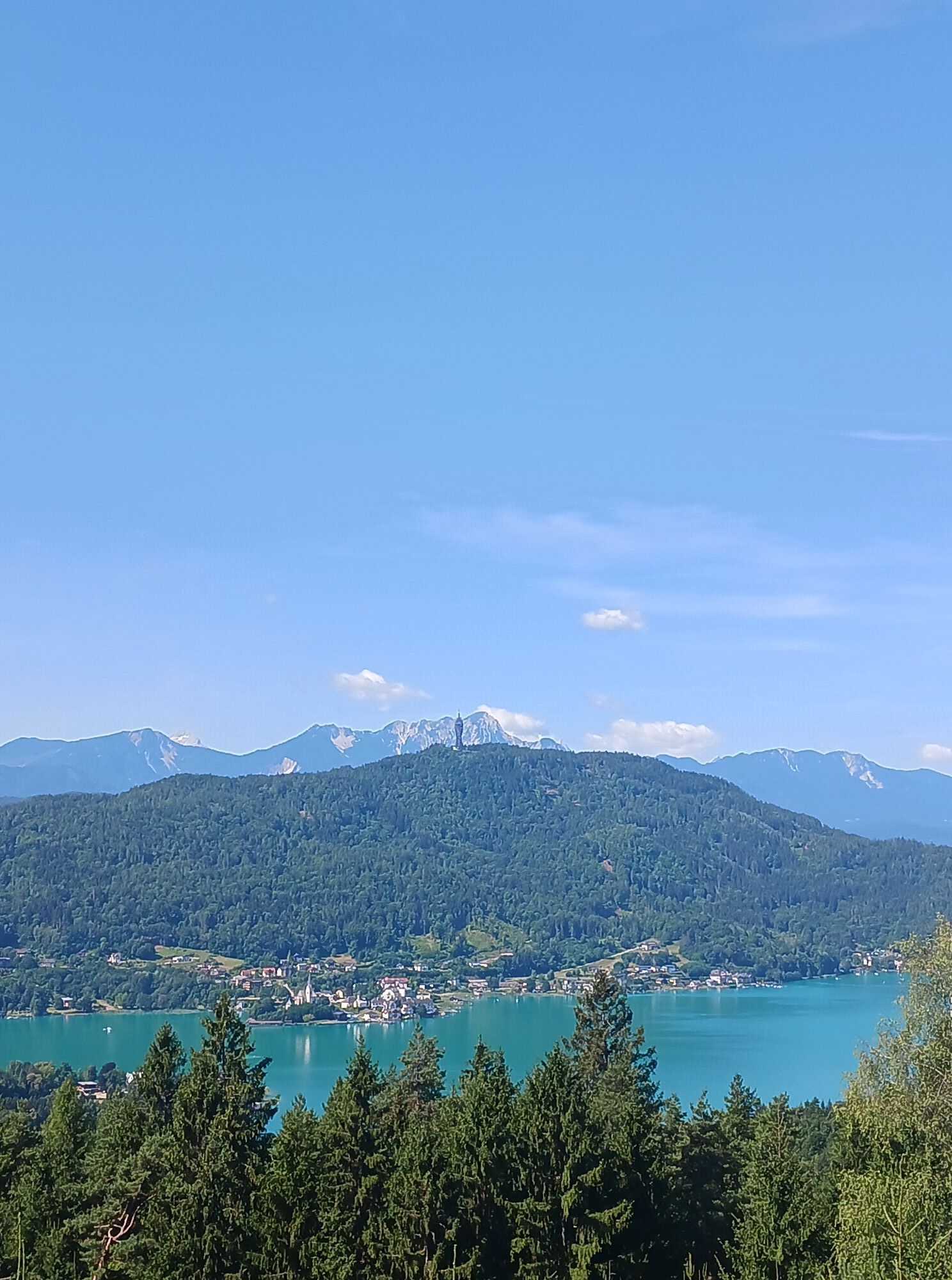
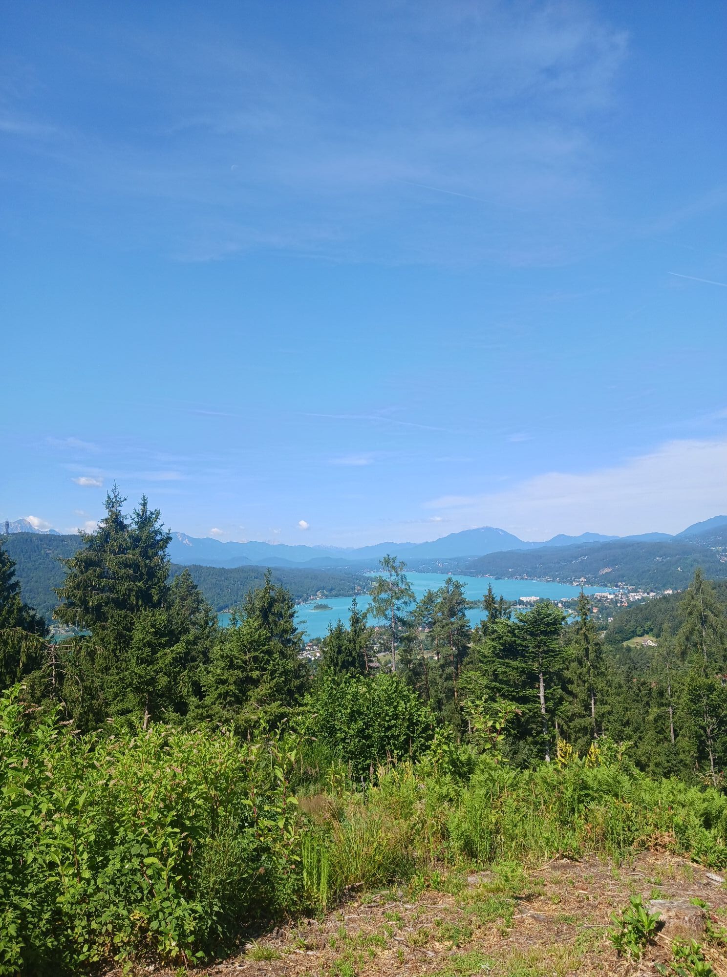
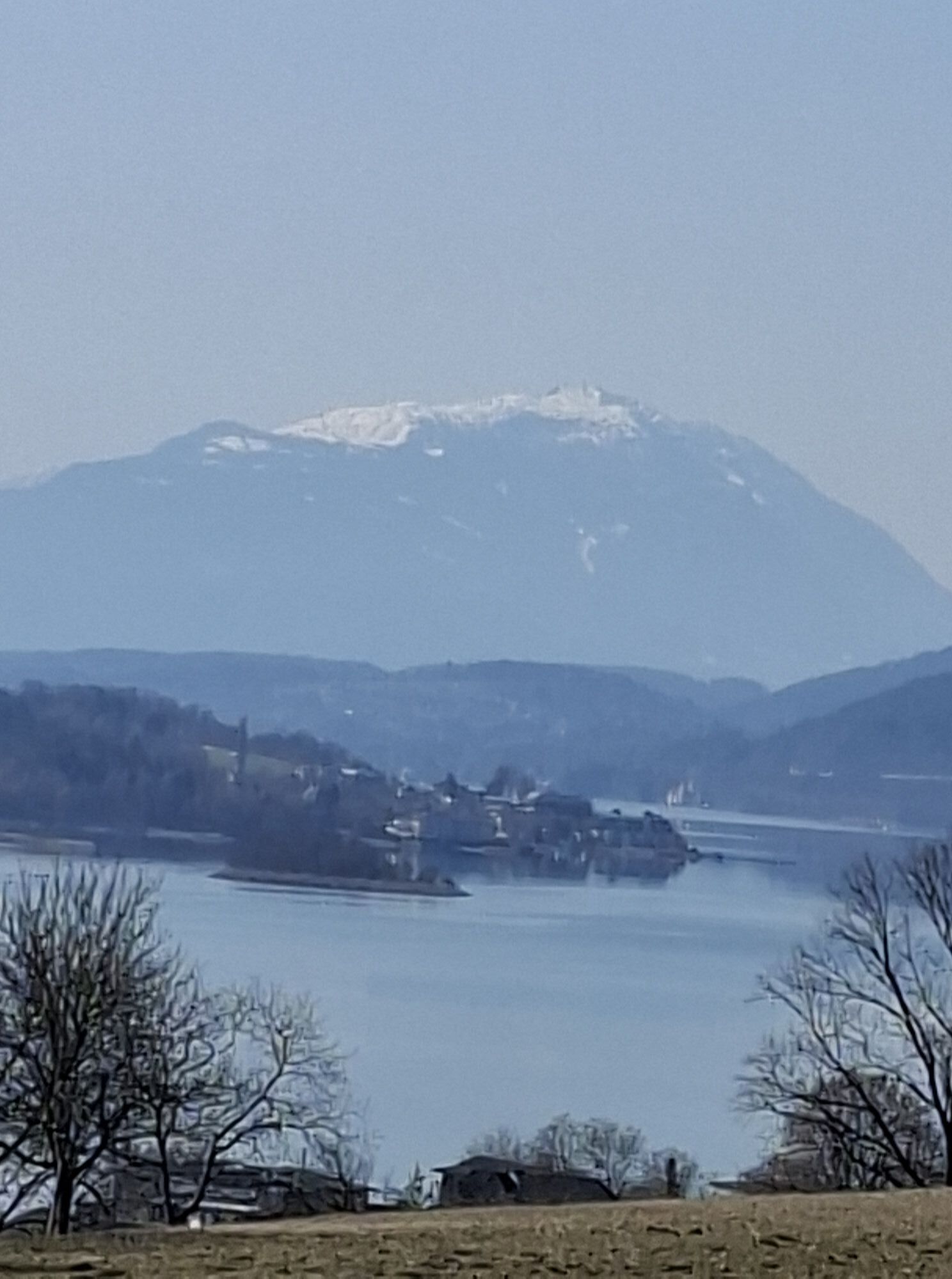
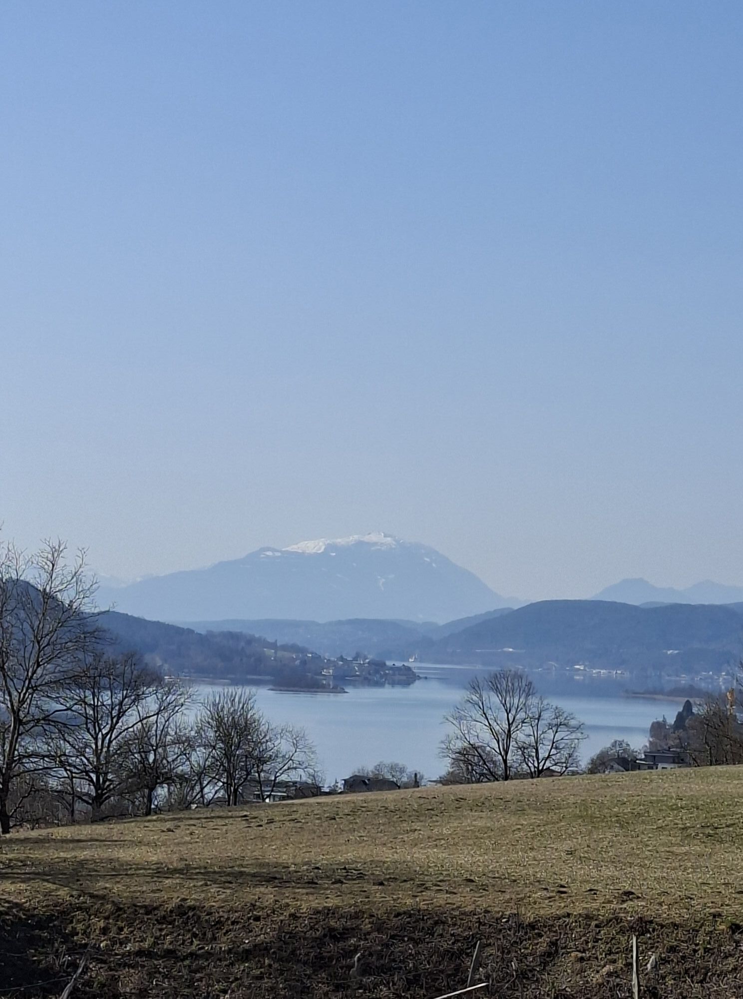
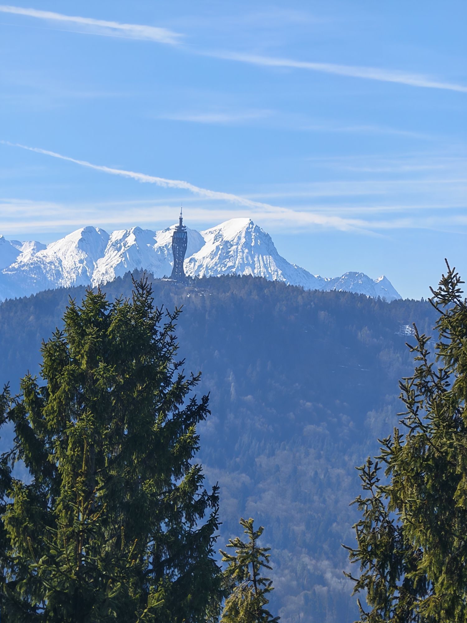
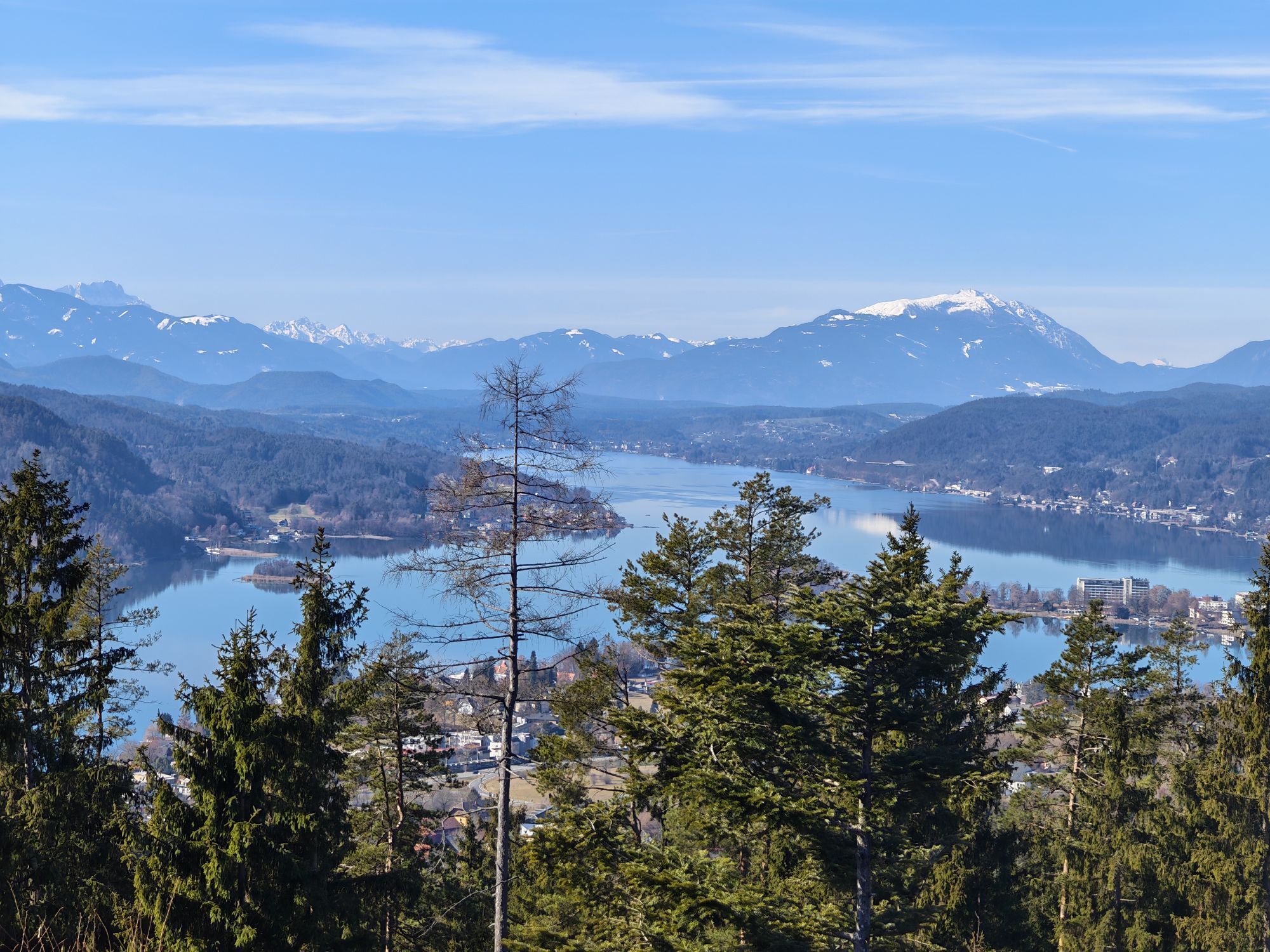
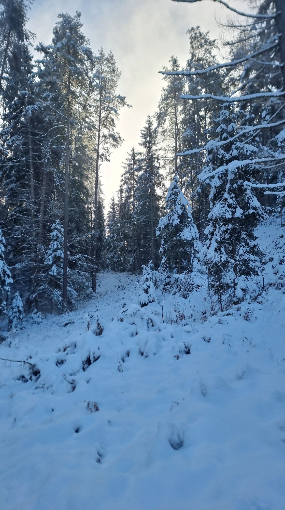
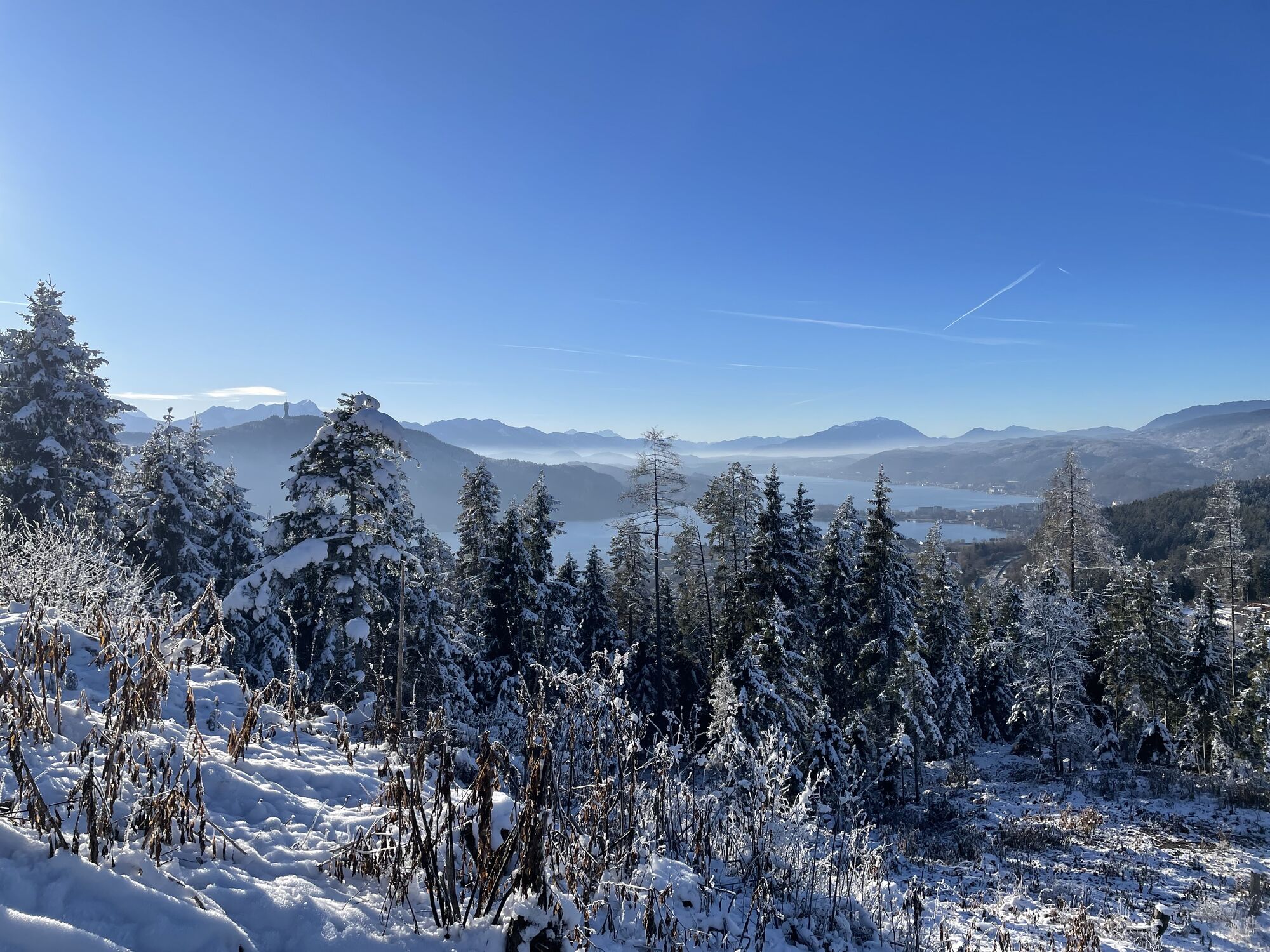
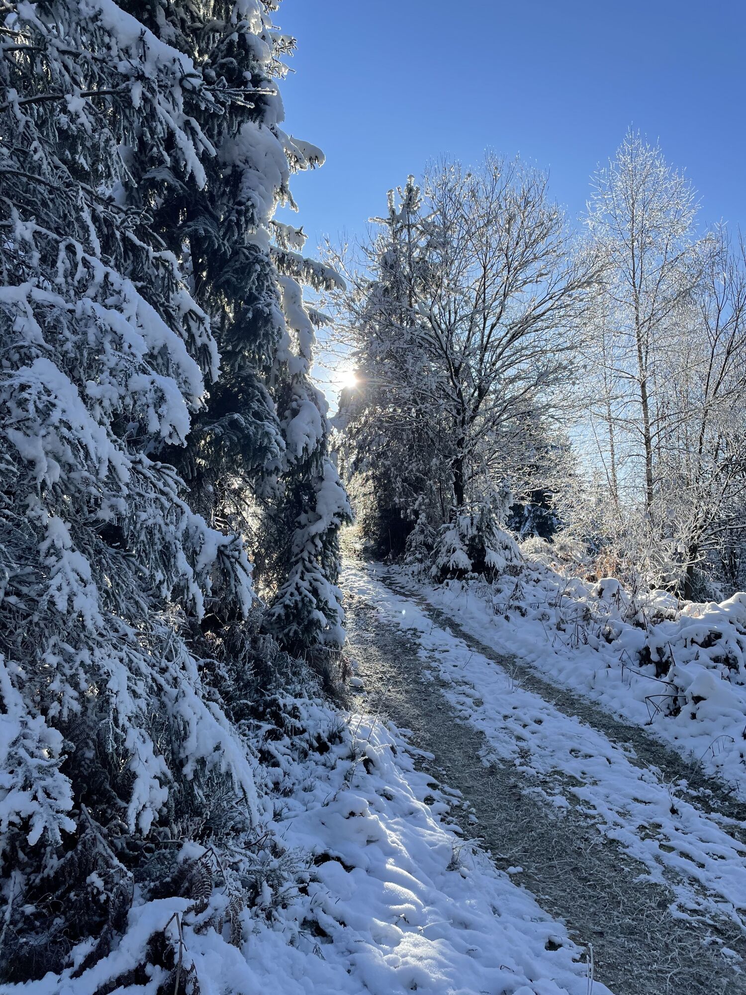
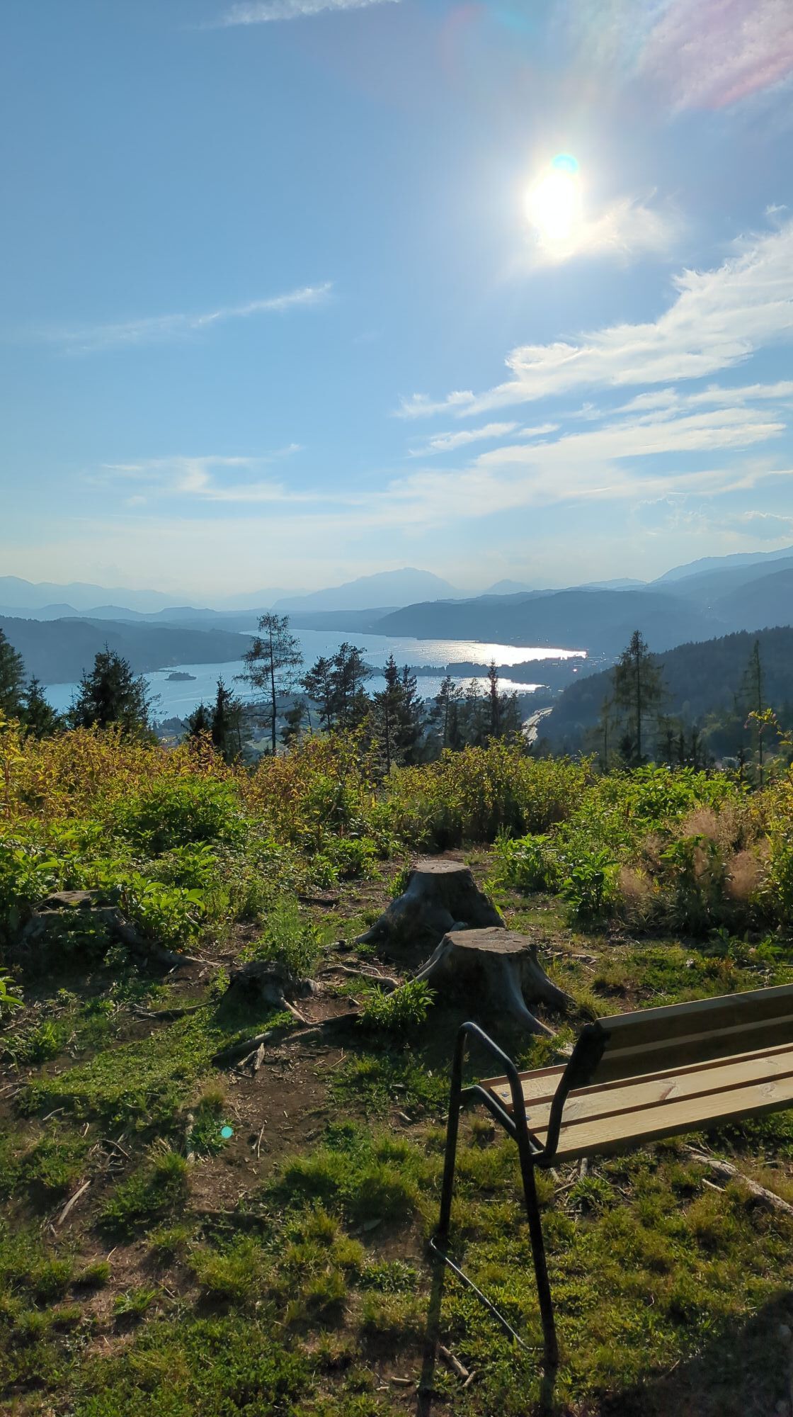
In beautiful natural surroundings, the Pirkerkogel loop stretches over a distance of 8.65 km. The starting point is at the Krumpendorf Parkbad and heads towards Leinsdorf via Pritschitz along the water...
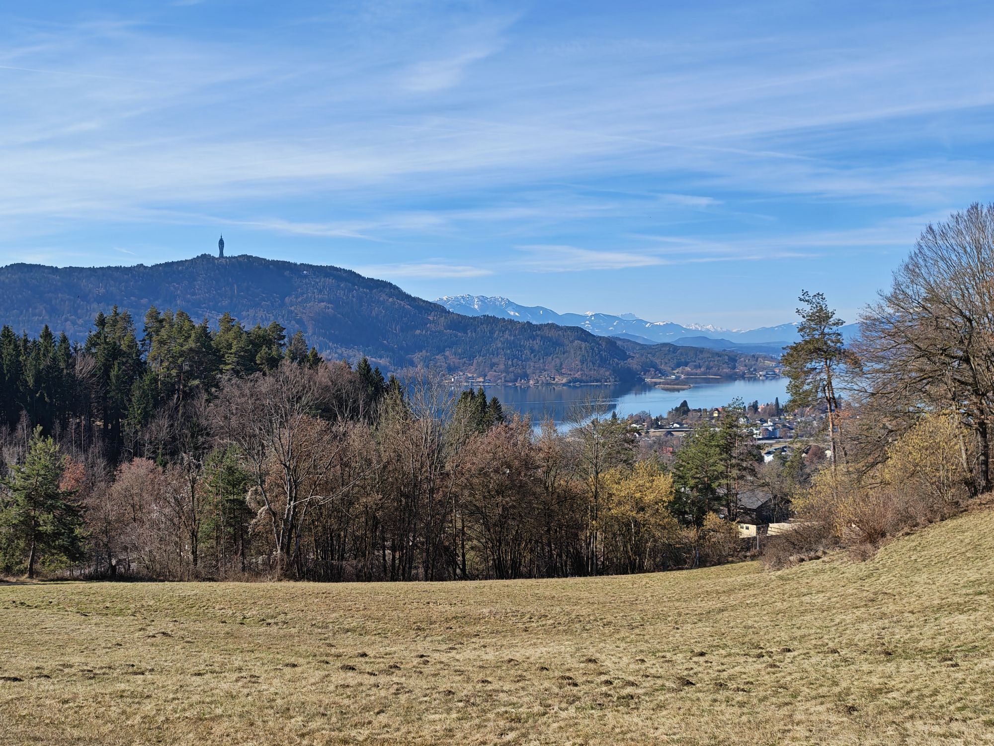
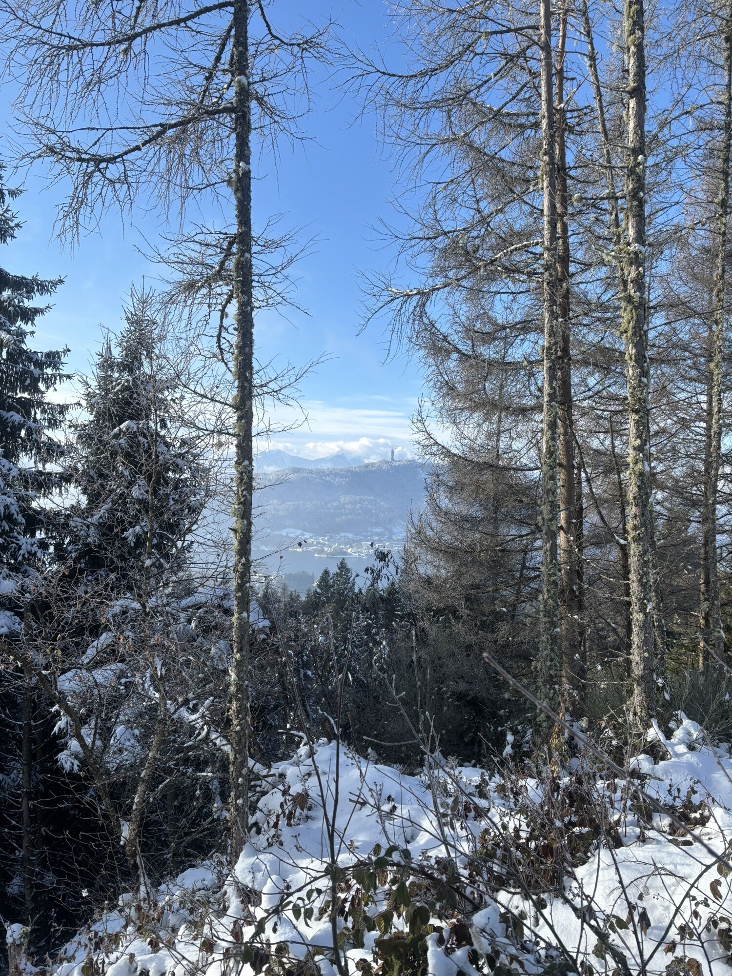
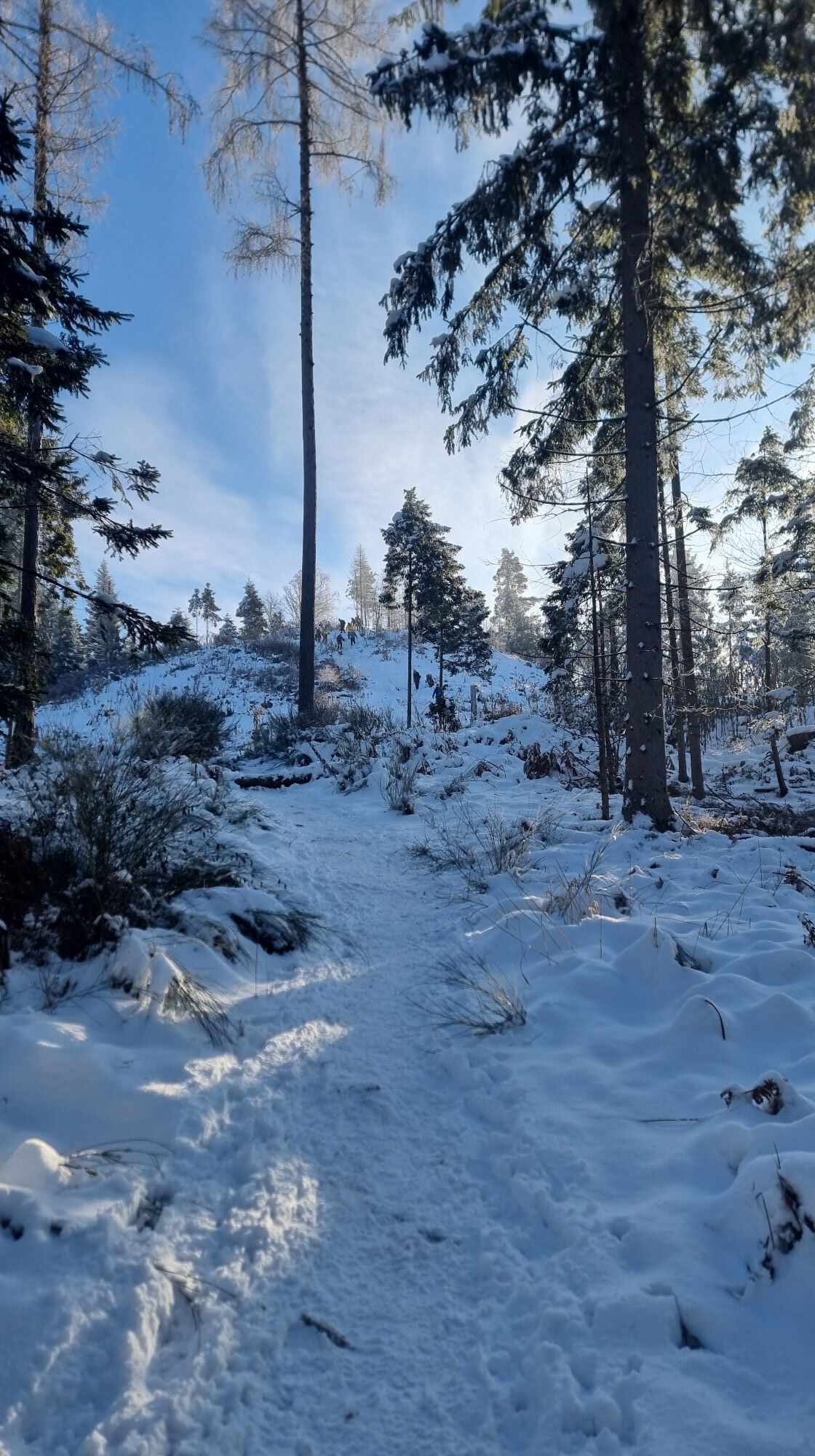
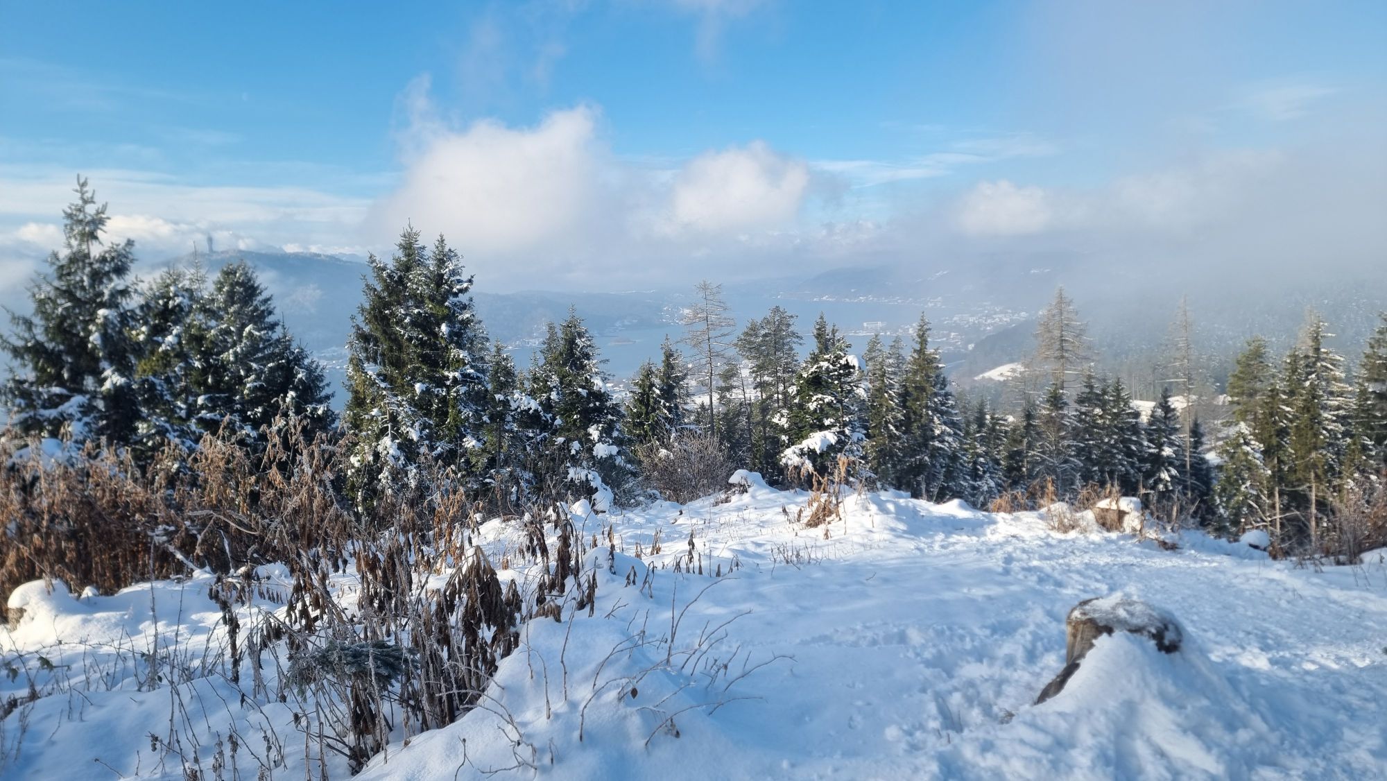
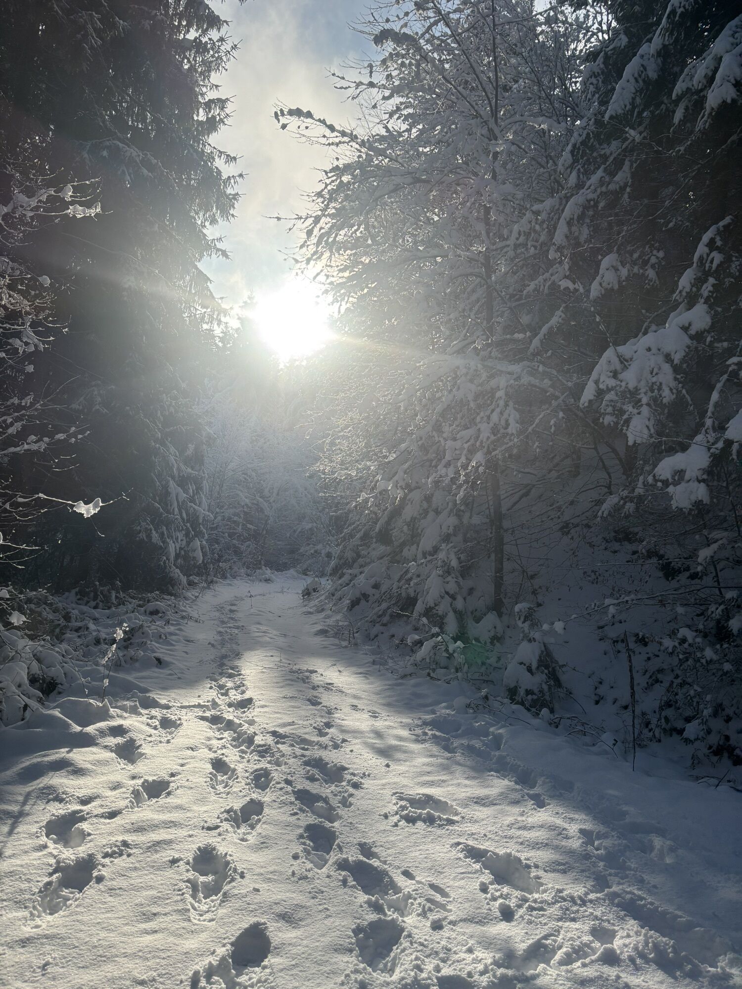
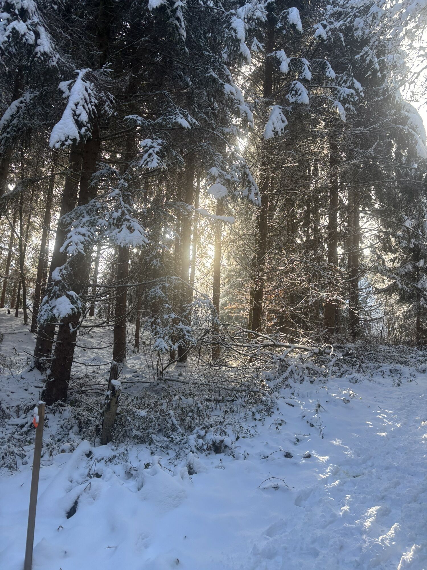
In beautiful natural surroundings, the Pirkerkogel loop stretches over a distance of 8.65 km. The starting point is at the Krumpendorf Parkbad and heads towards Leinsdorf via Pritschitz along the water path at Pirkerbach. On a trail, you reach the highest point of the route, the Pirkerkogel, where you are rewarded with a wonderful view over the entire Lake Wörthersee. The descent leads back over the South Motorway to the center of Krumpendorf.
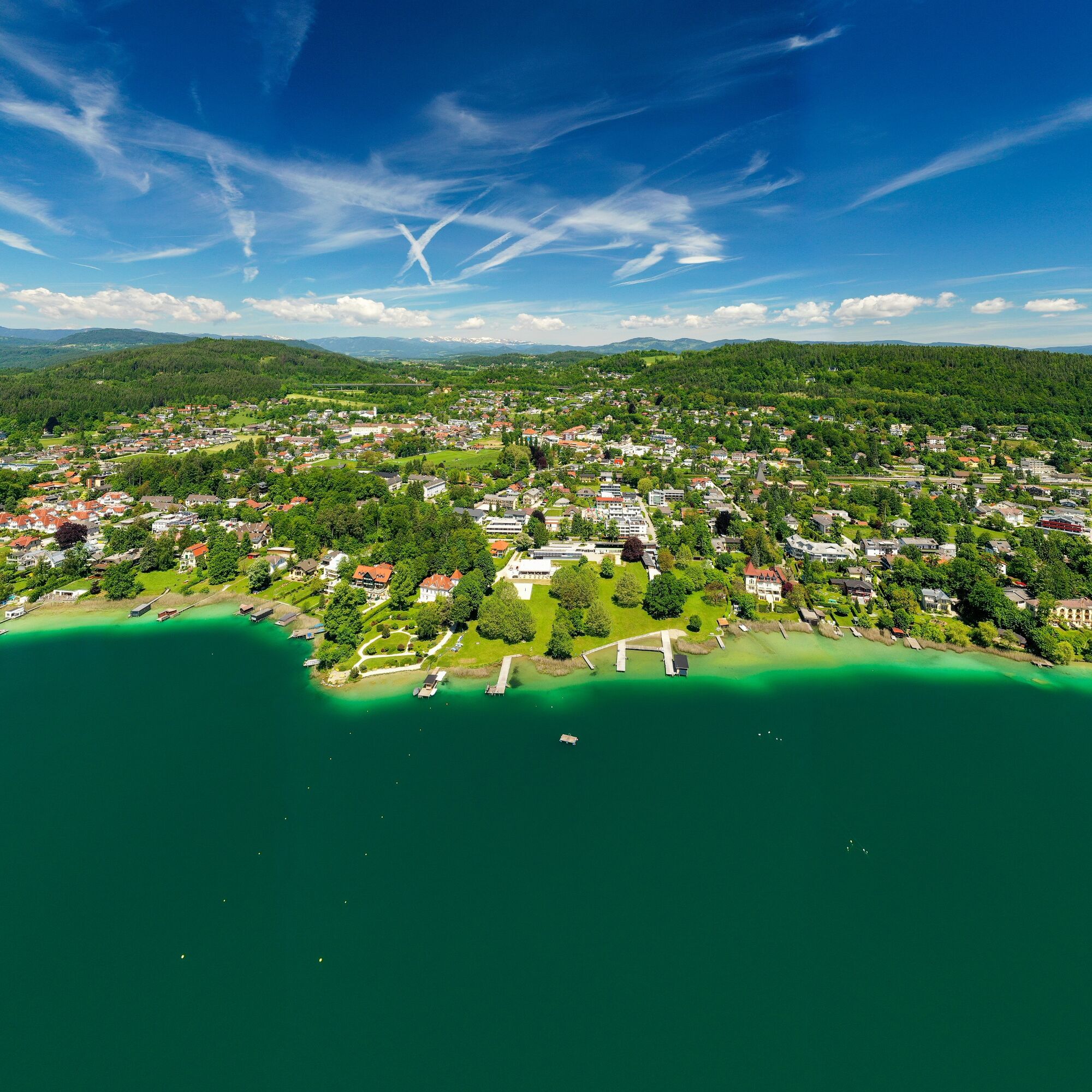
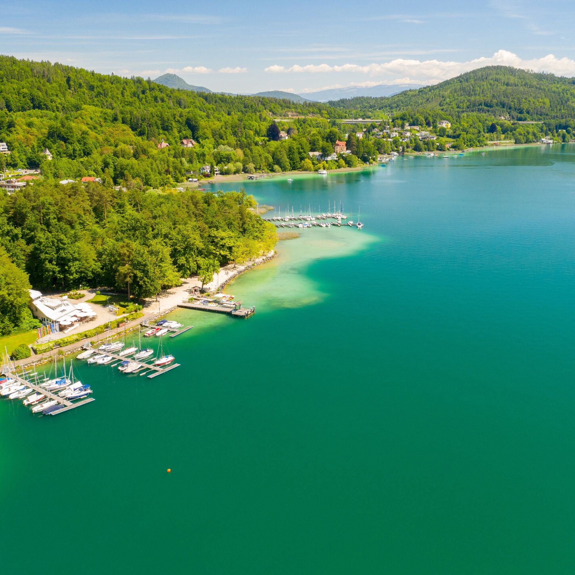
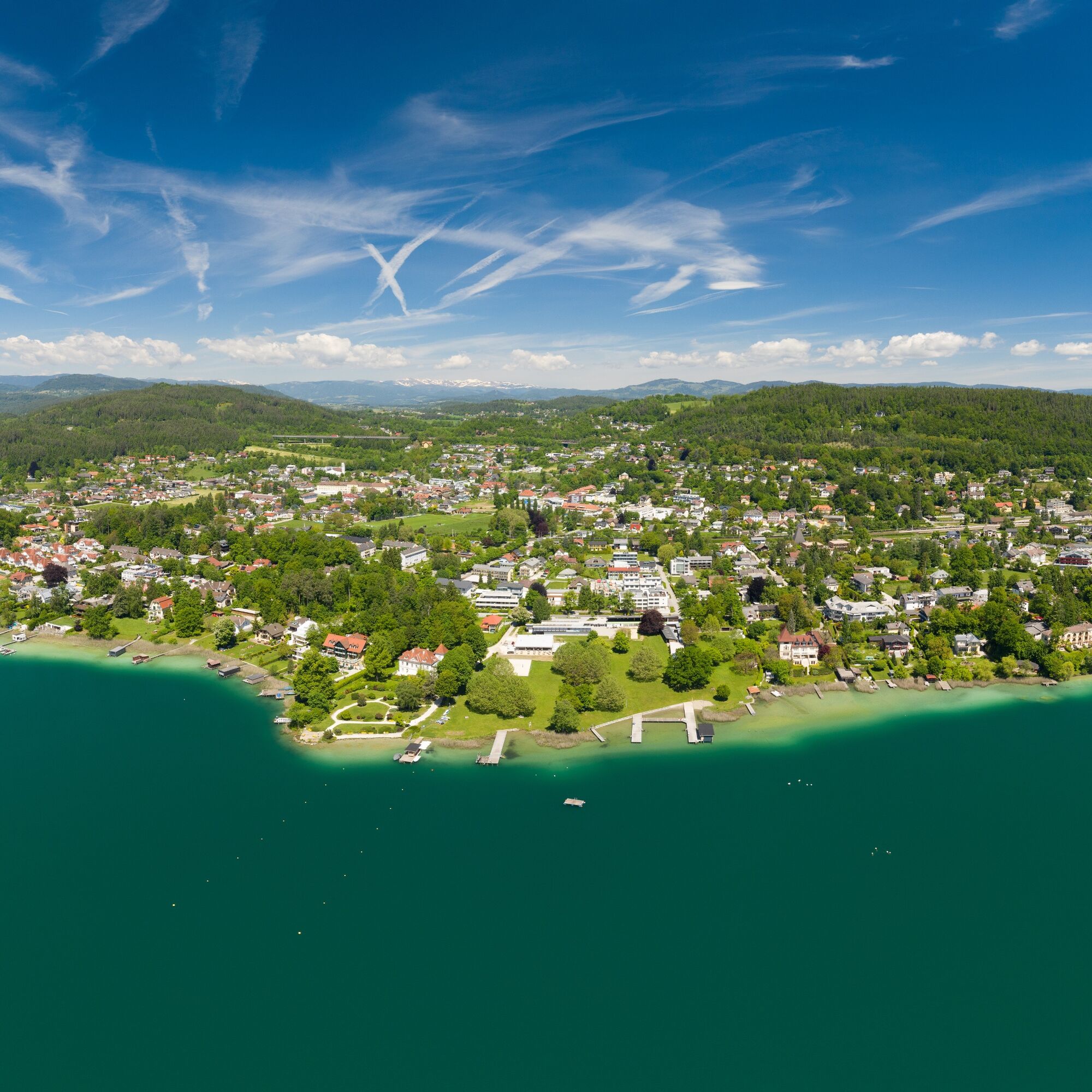
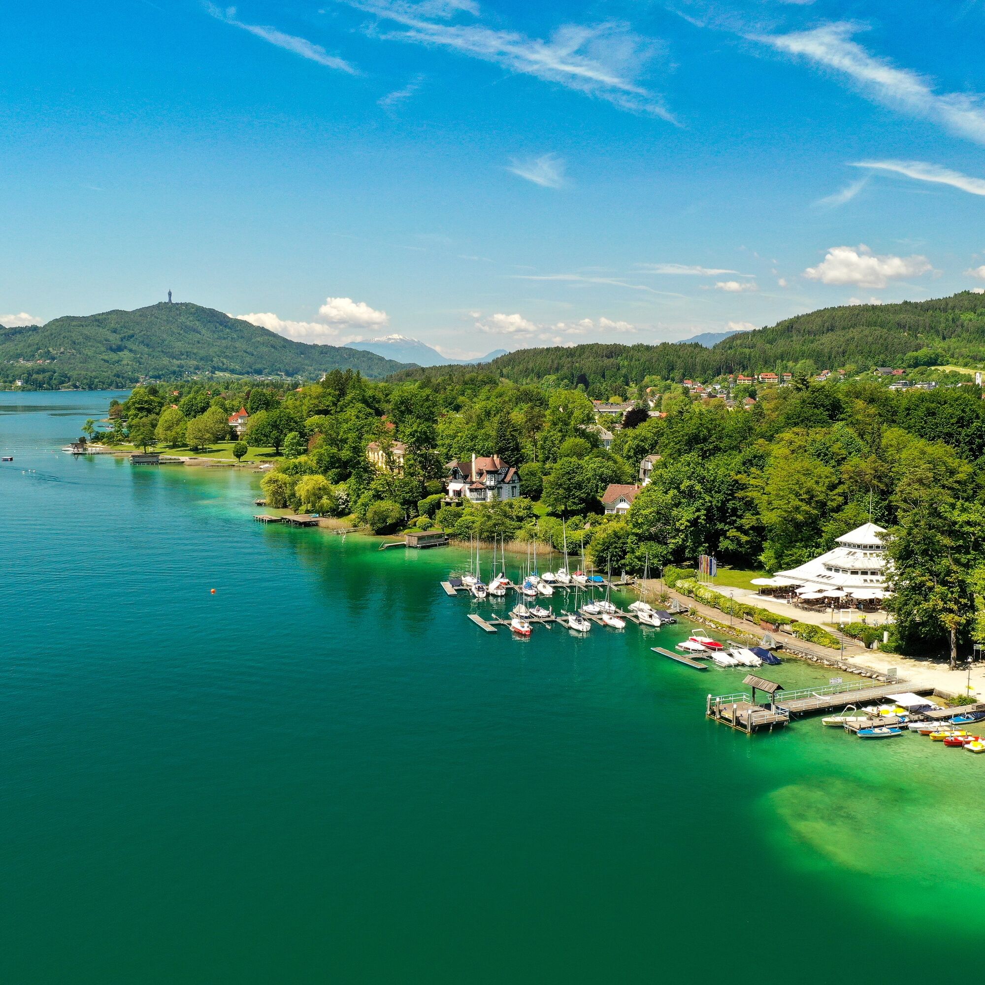
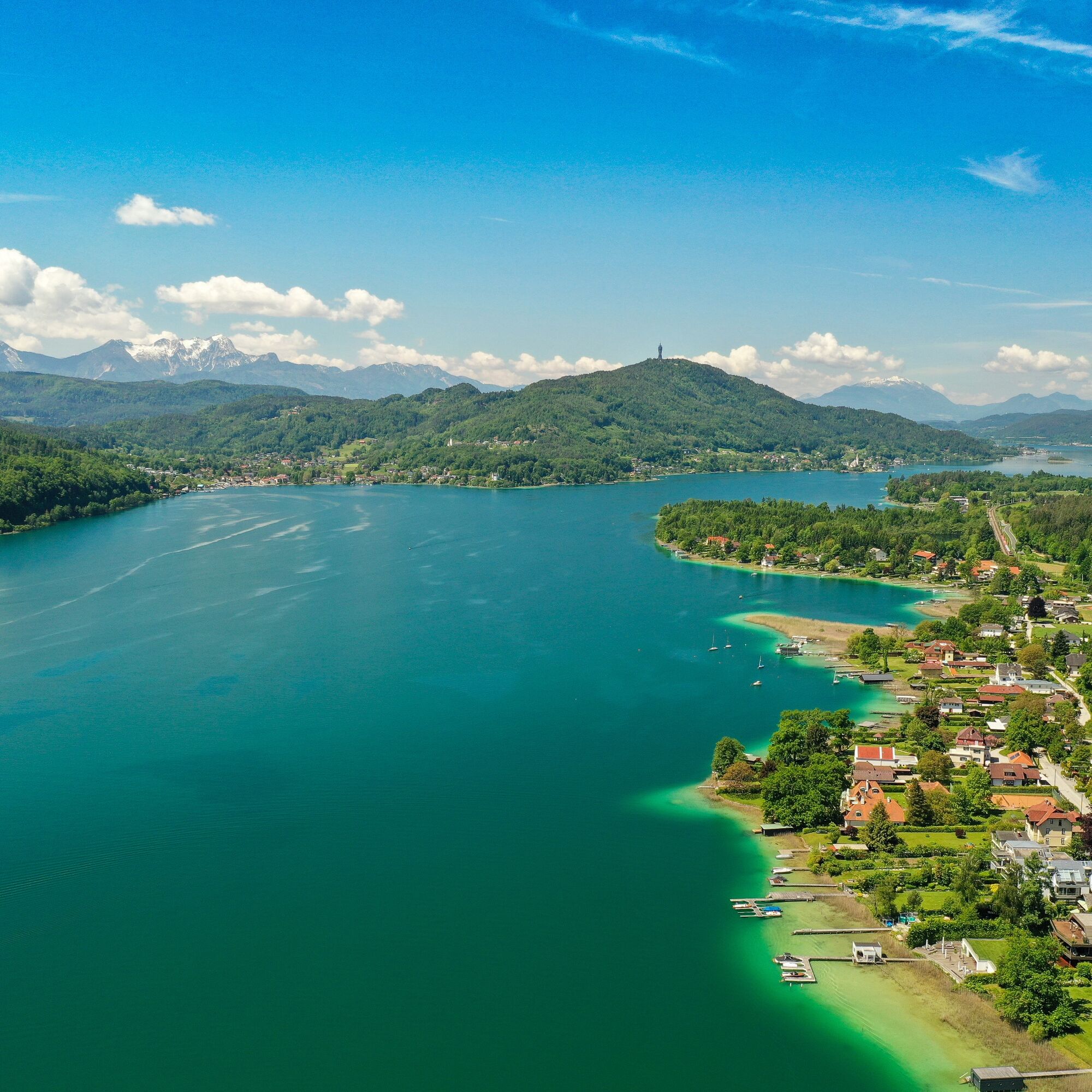

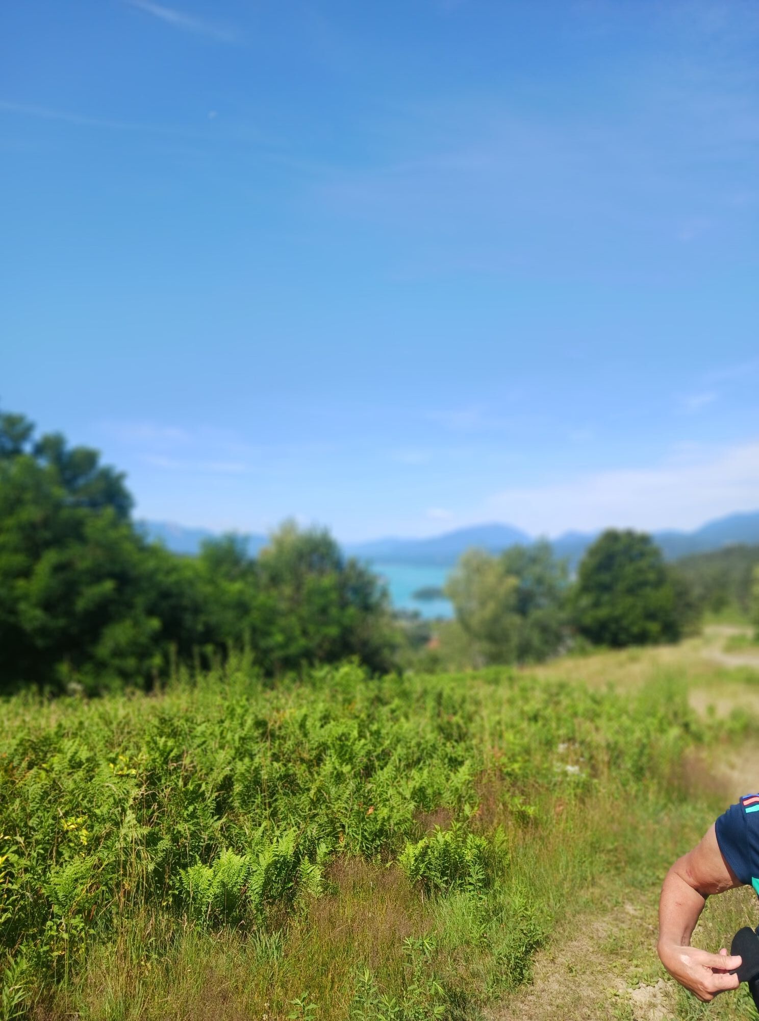
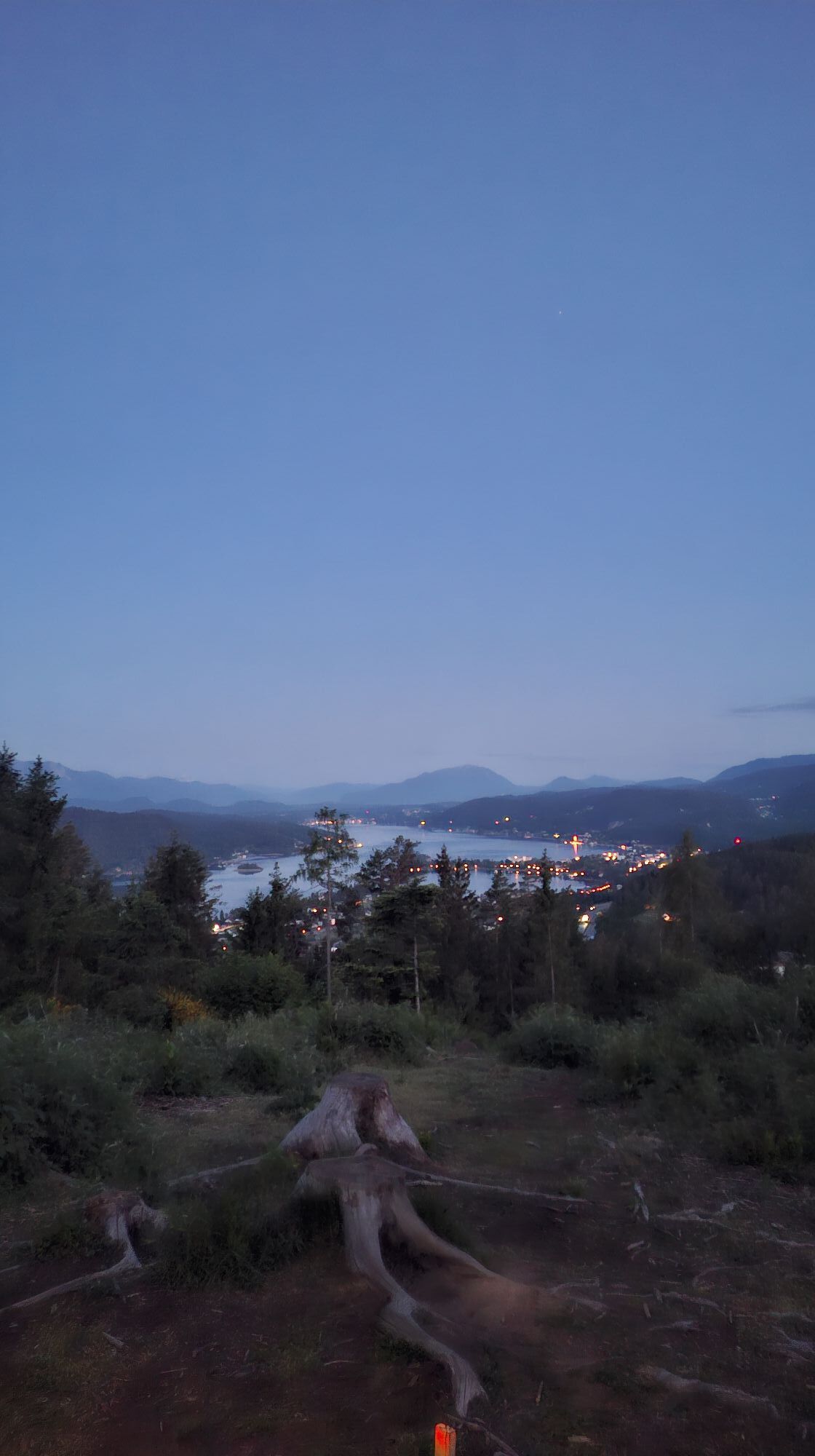
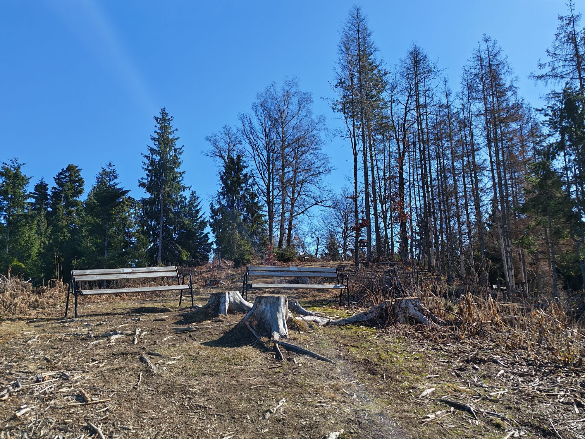
From Parkbad Krumpendorf to Hauptstraße and then turn right for about 1 km along the water path at Pirkerbach (follow the water path signs). At the end of the water path, briefly turn left again (see overview board) and then follow the blue-white markings. Along Schumbergerweg (about 1 km) until you see the Pirker Church on the right. Here turn left again into the forest and always follow the forest path. Pass the pond with the cozy Hollywood swing — ideal for a short break — after about 100 m turn left again into the forest. Follow the trail up to the Pirkerkogel (altitude 666m). After the “summit” continue along the trail (caution — there is a short, steep descent!), then about 500 m along Pirkhofweg. Here you will be rewarded with a beautiful view over the entire Lake Wörthersee! At the houses turn left again, always follow the red marking (hiking trail B), passing the West Viewpoint, until you reach Krumpendorf. Follow Leinsdorferstraße to Hauptstraße. Turn left along Hauptstraße to return to the starting point or to the village center of Krumpendorf.
On the B 83 coming from Klagenfurt or Villach, turn into Moosburger Straße
Arrival possible by bus, train or Wörthersee shipping
Parking spaces available in the village
Viewing point Pirkerkogel & West View

Webové kamery z prohlídky

Oblíbené prohlídky v okolí
- 5.0
Wörthersee EXTREM
heavyTuristika 60.1 km - 4.6
Pyramidenkogel path Maria Wörth
středníTuristika 10.8 km - 4.6
Hoher Gallin route
středníTuristika 7.09 km - 4.5
Cycling around Lake Wörthersee – leisurely cycling between turquoise blue water and fantastic views
středníJízda na kole 48.2 km - 4.4
Lake Wörthersee Circular Route
středníJízda na kole 41.2 km - 4.7
Zillhöhe
středníBěh 7.94 km - 4.7
Vierbergelauf
středníPoutní stezka 47.6 km - 4.6
Pyramidenkogelweg Schiefling
středníTuristika 8.41 km - 4.1
Slow Trail Bleistätter Moor (Variant A)
světloTuristika 7.22 km - 4.6
Ulrichsberg
světloTuristika 5.60 km
Pěší turistika a stopování


Nenechte si ujít nabídky a inspiraci pro vaši příští dovolenou
Vaše e-mailová adresa byl přidán do poštovního seznamu.





