







Historical Mile Nassfeld TW_N8
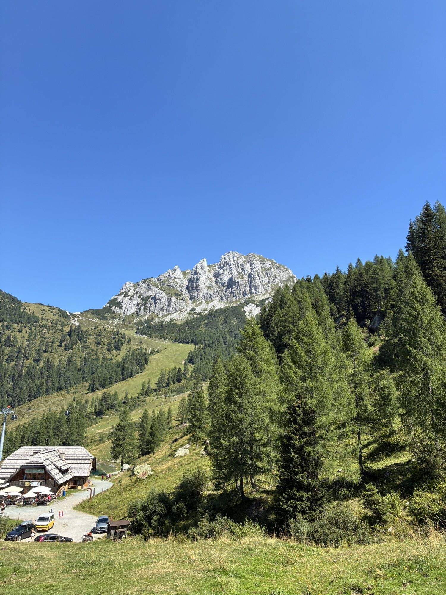
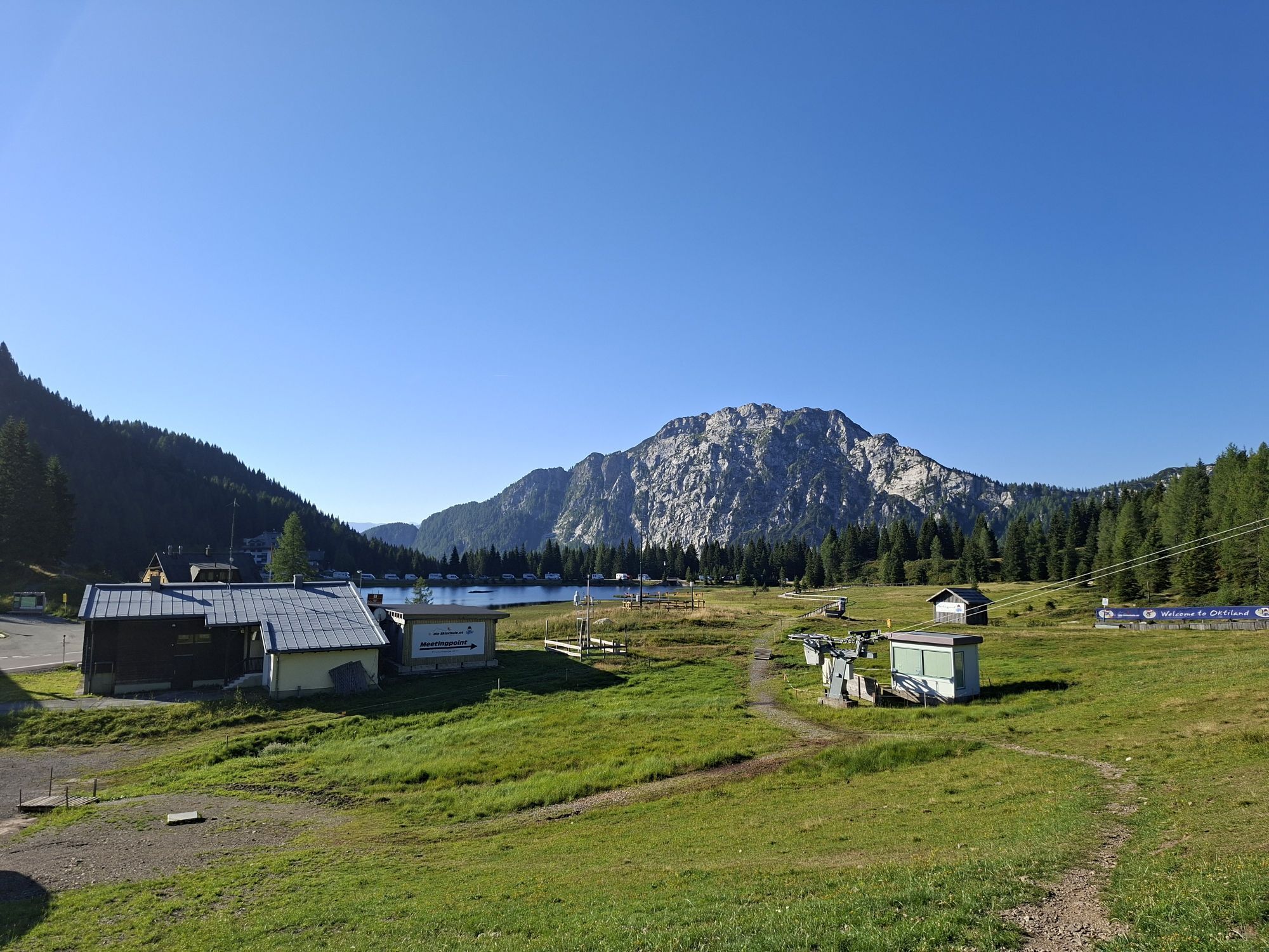
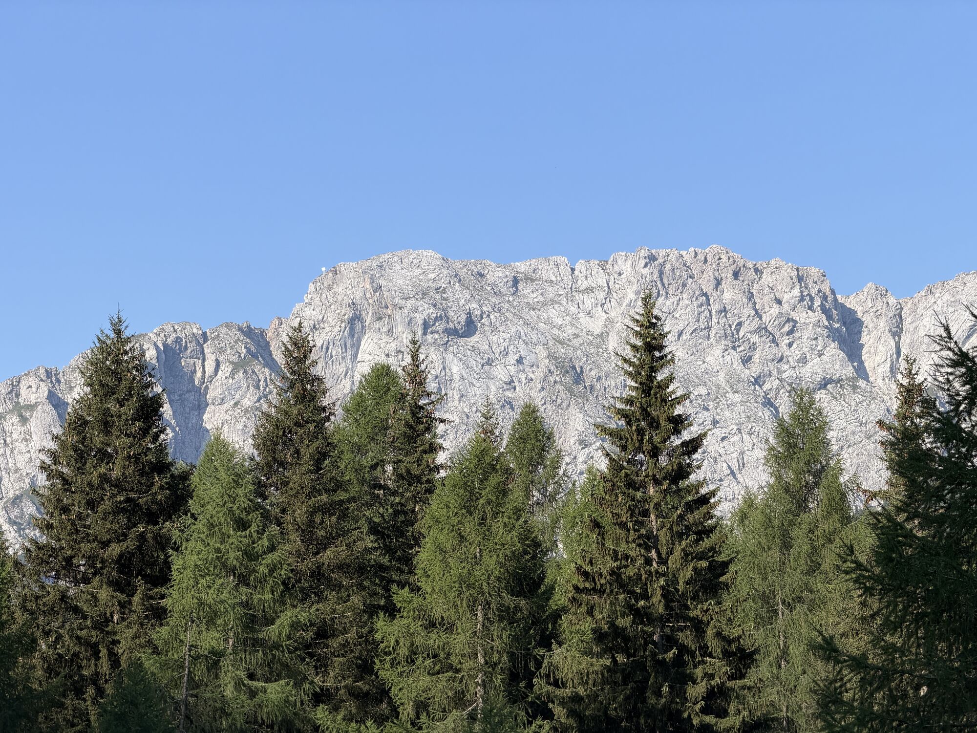
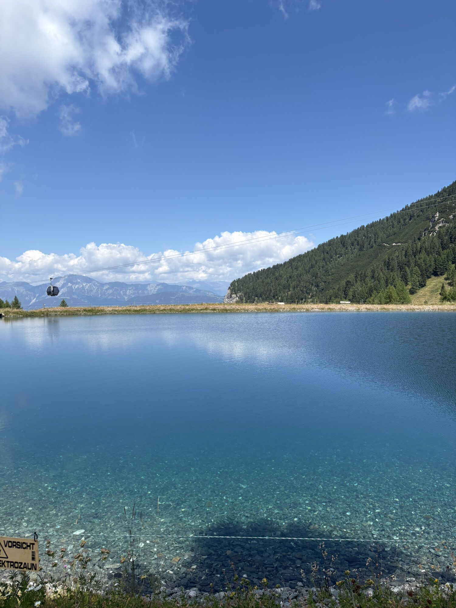
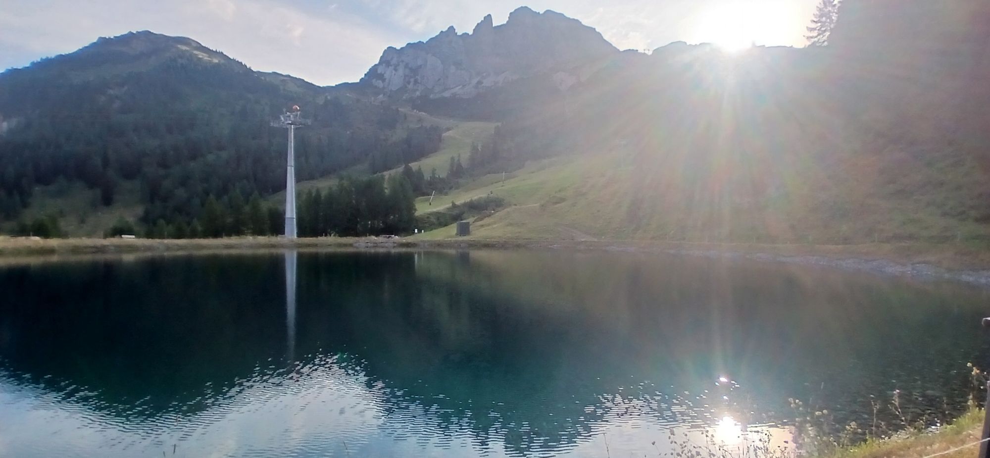
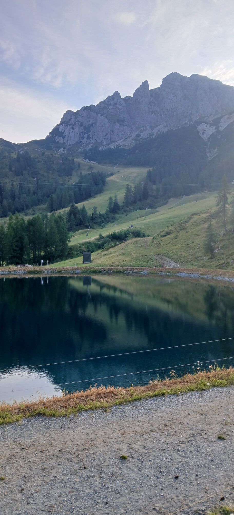
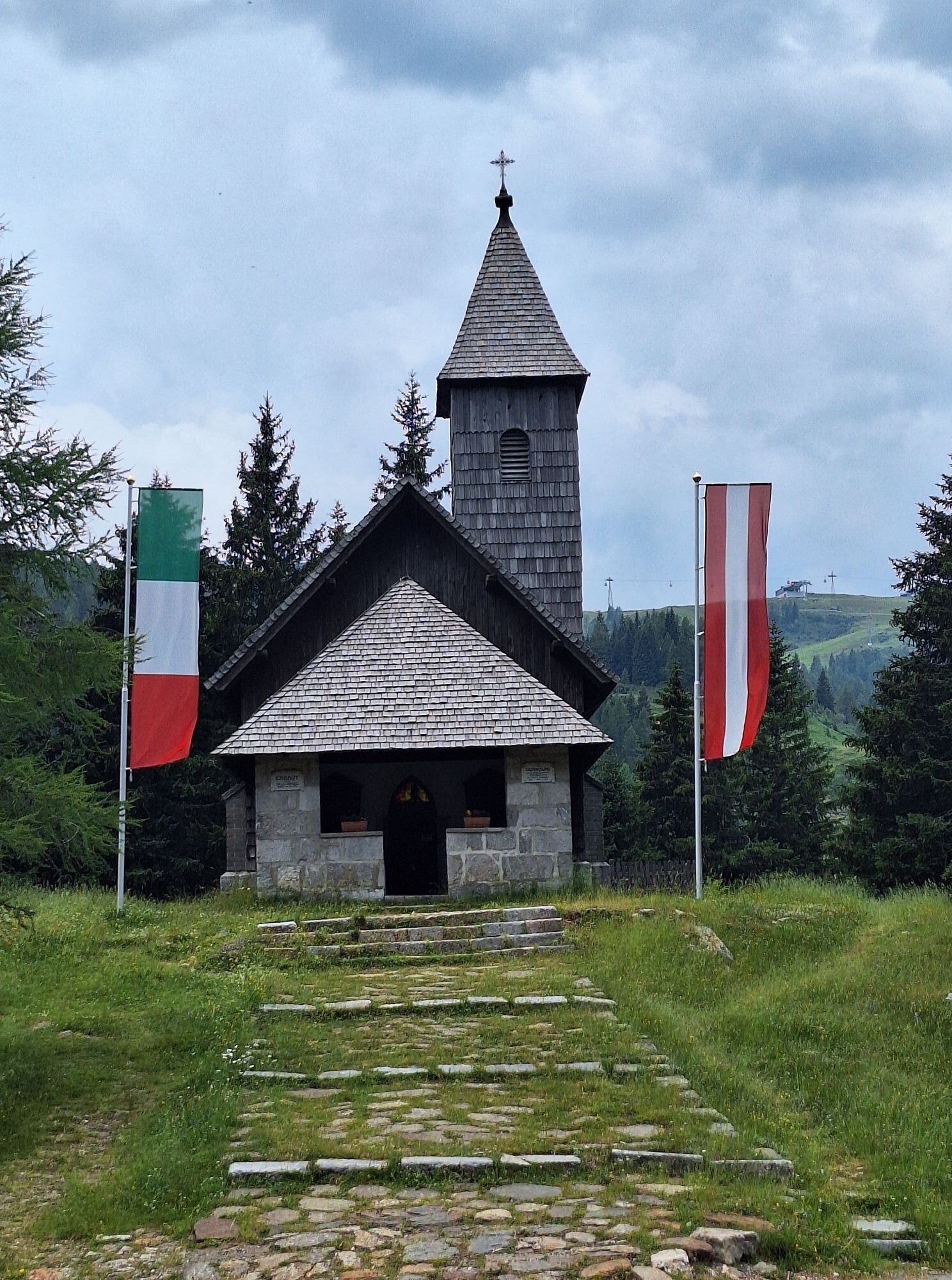
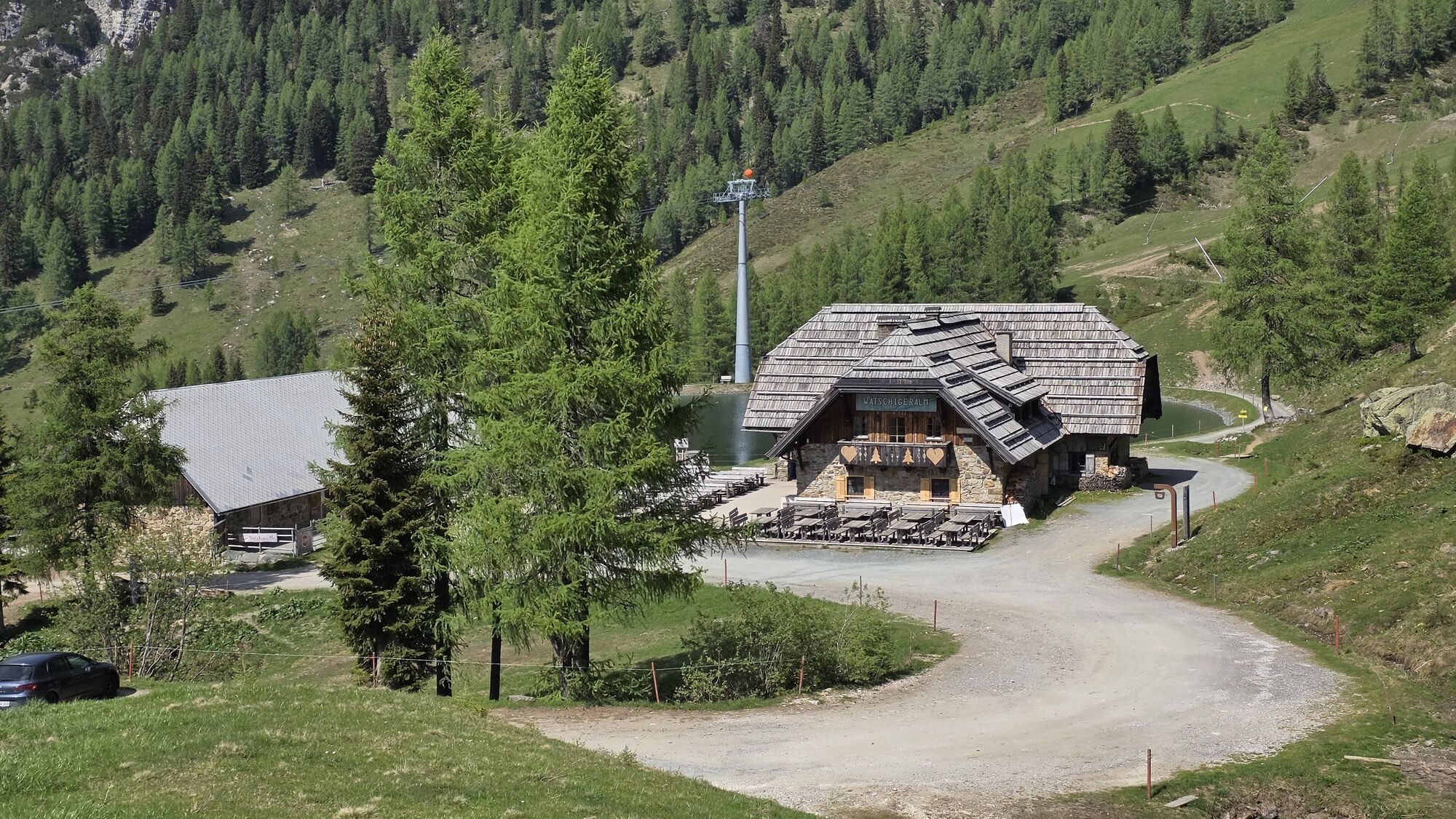
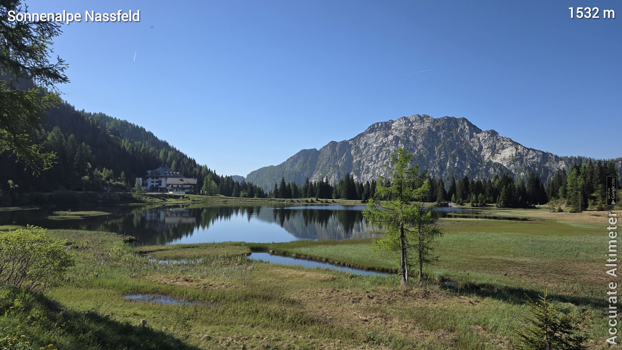
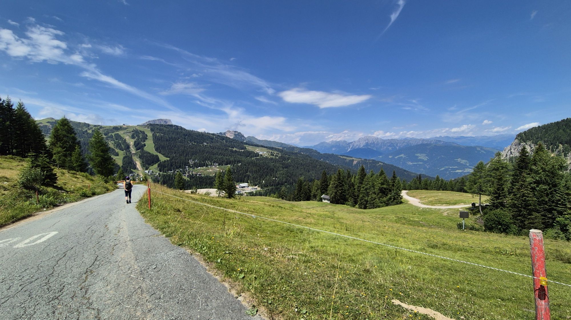
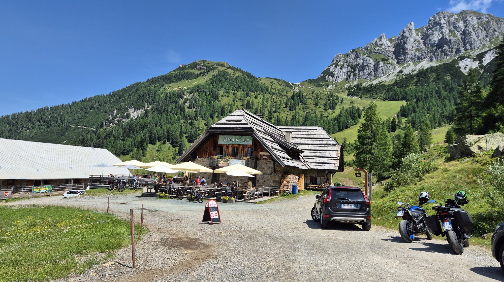
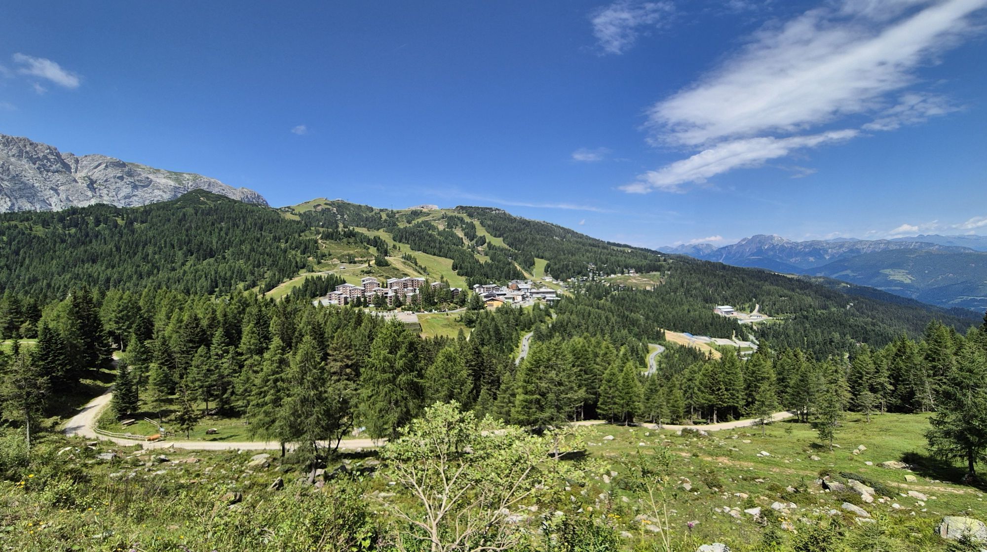
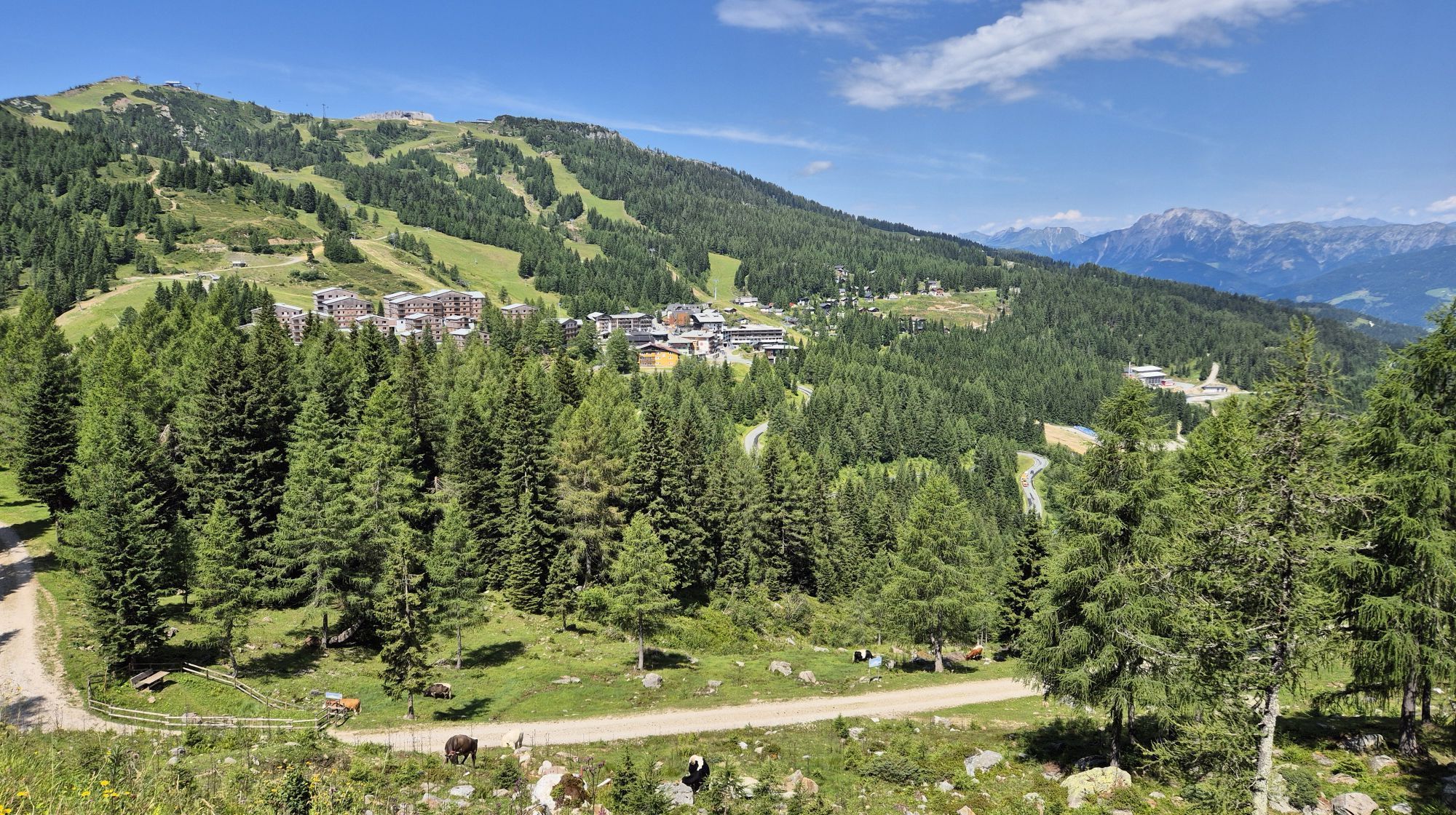
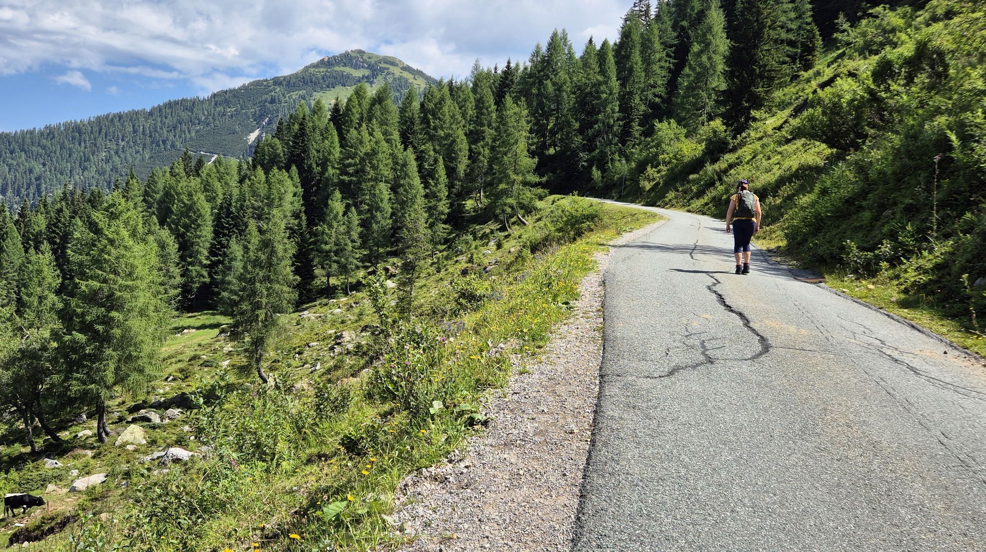
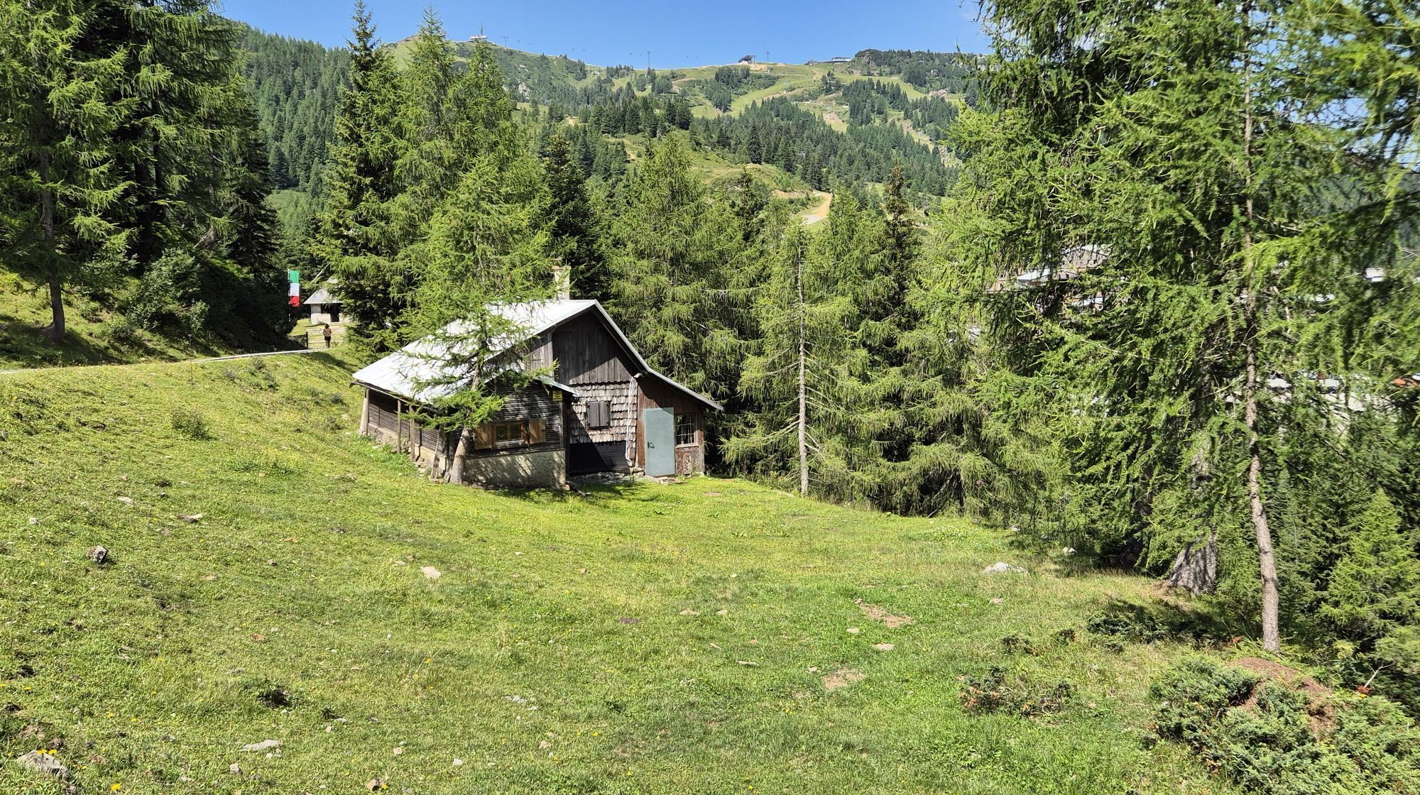

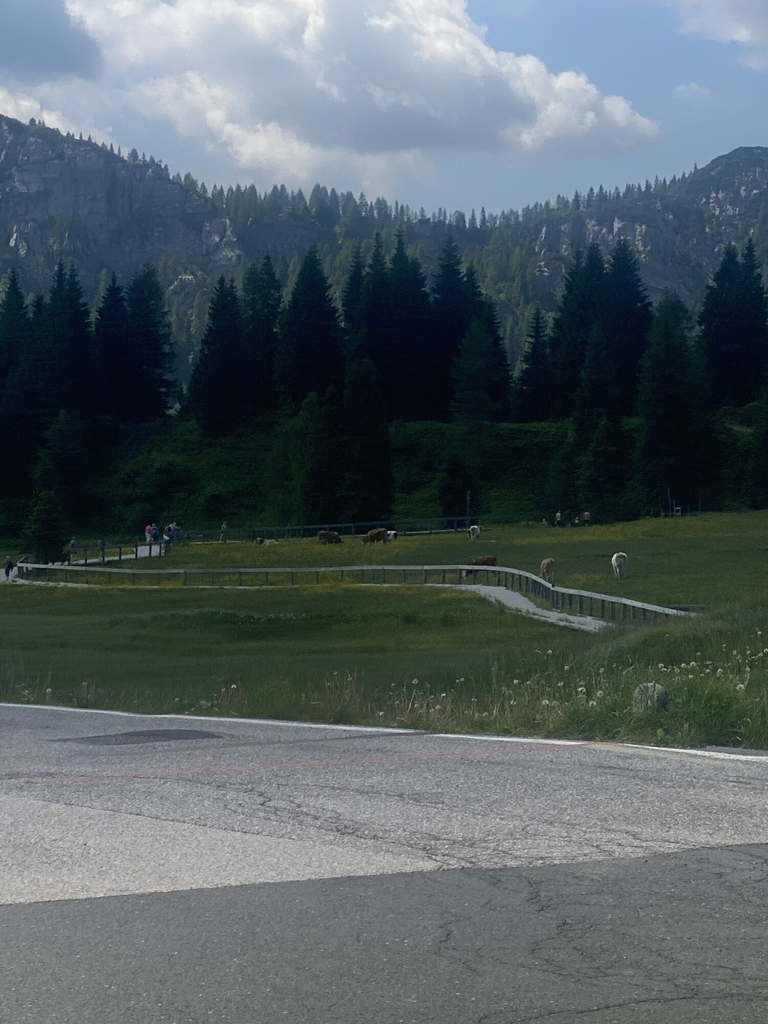
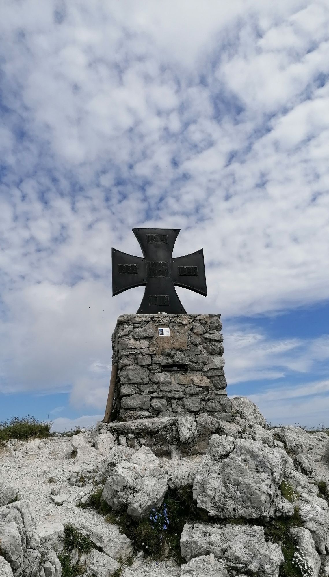
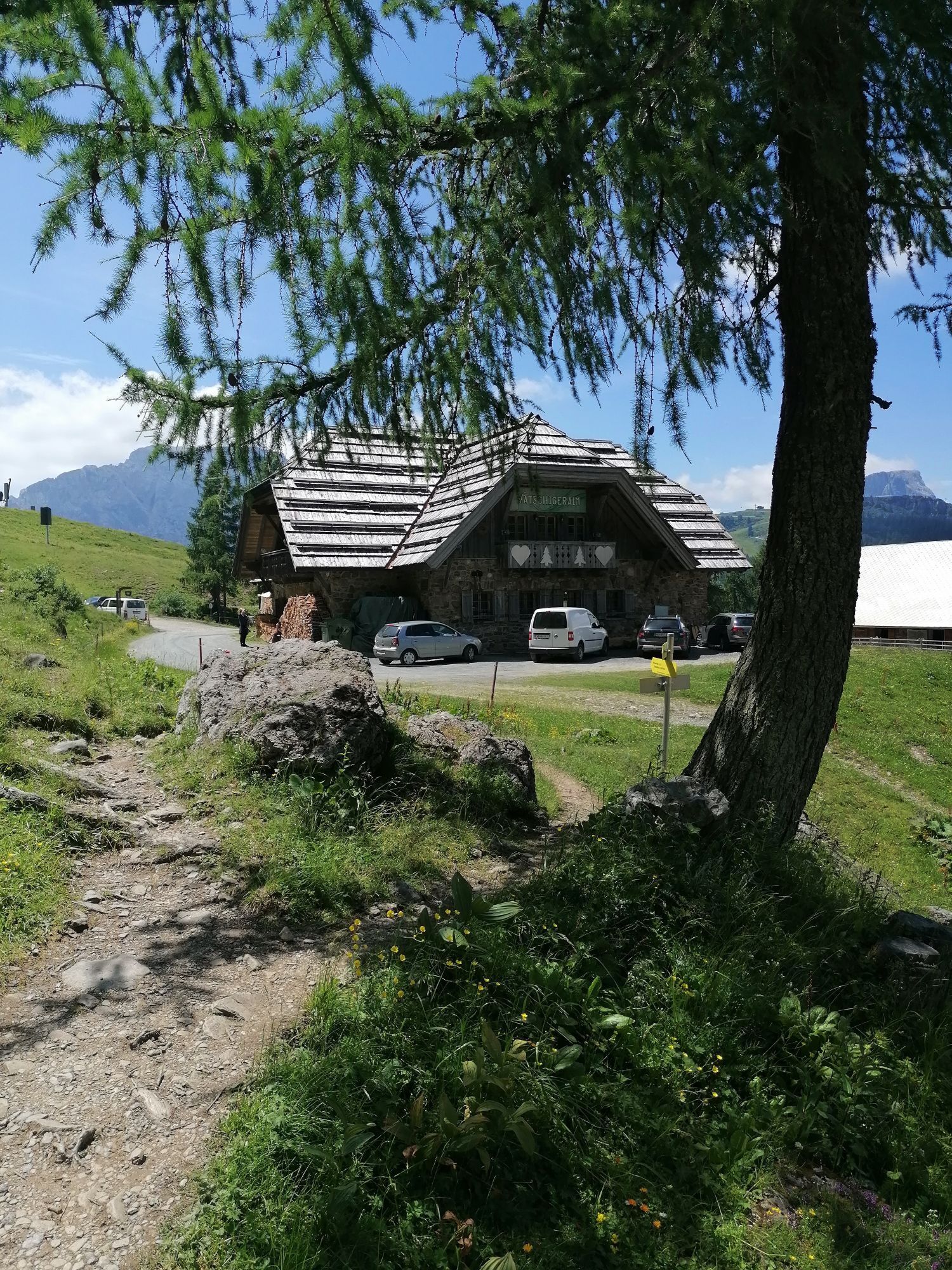
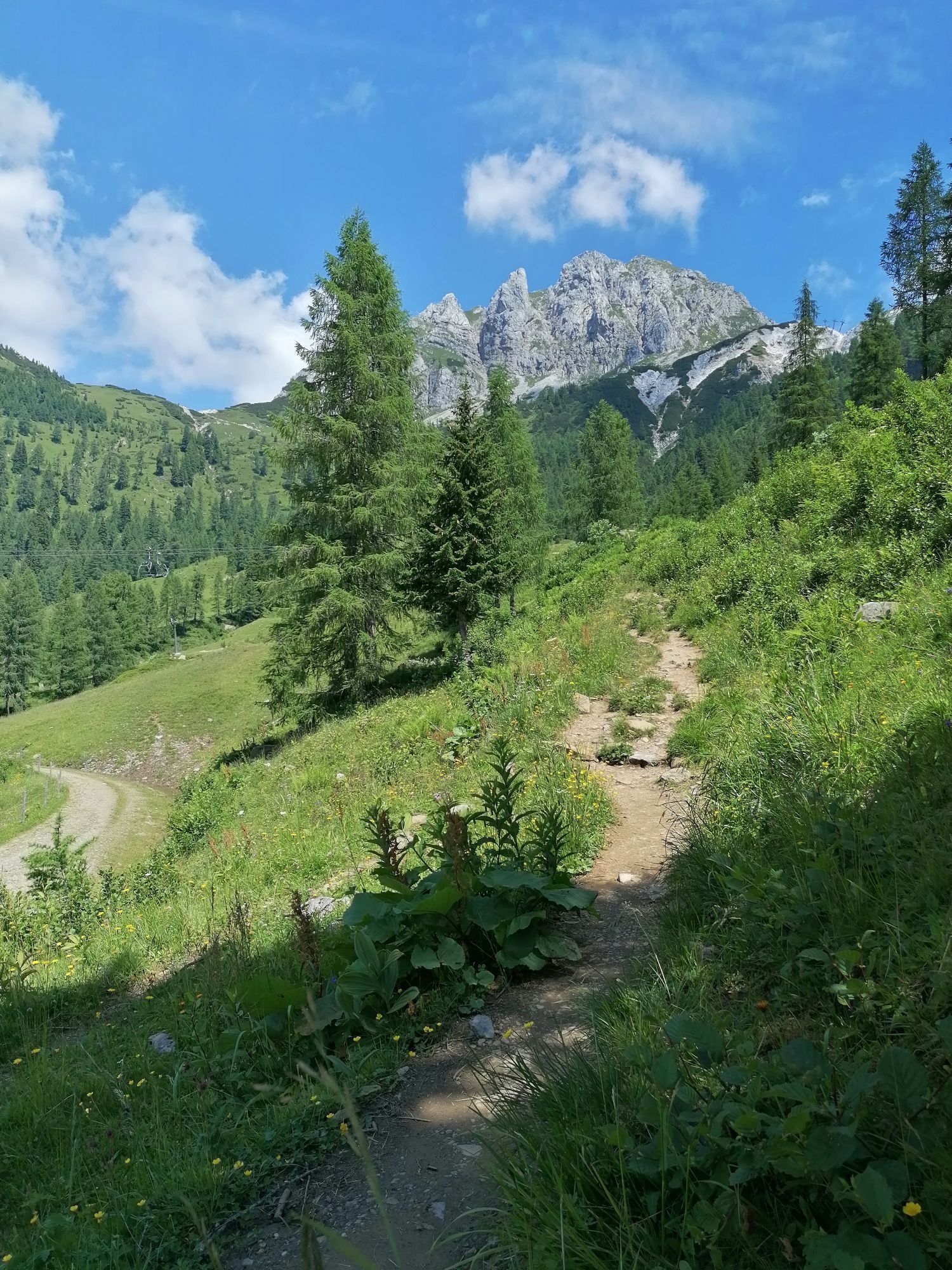
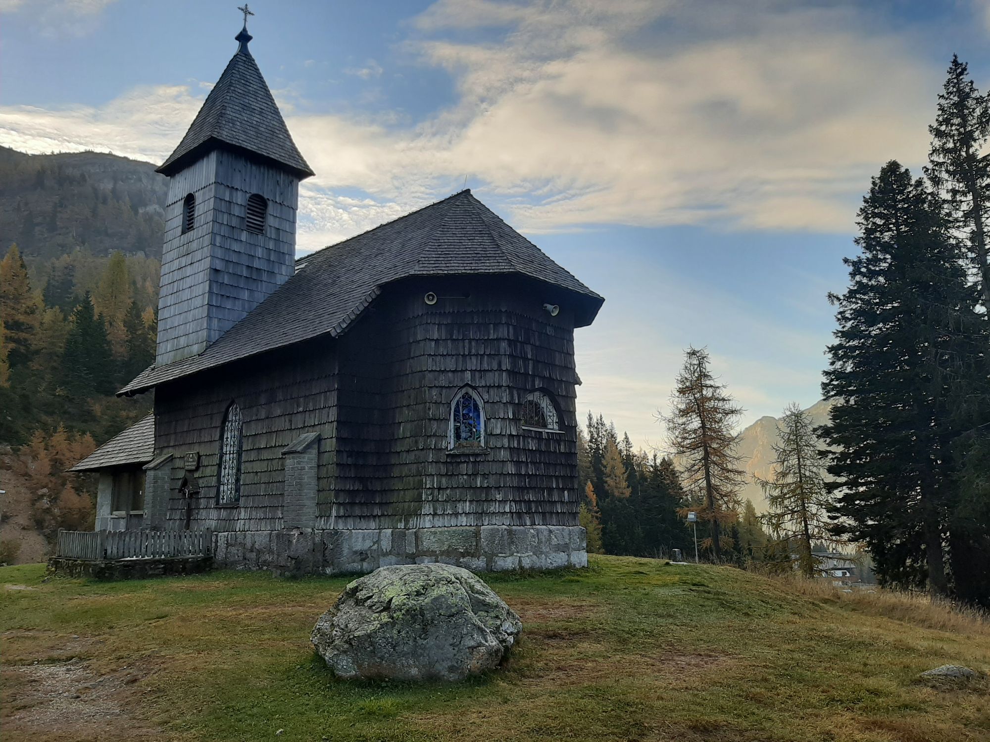
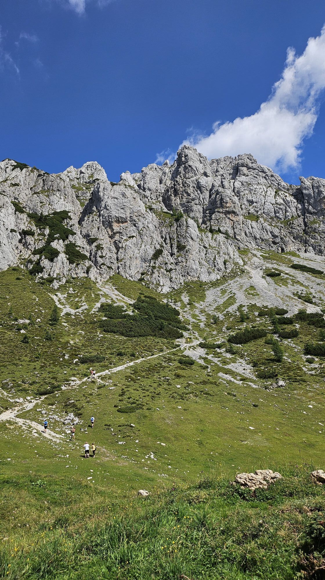
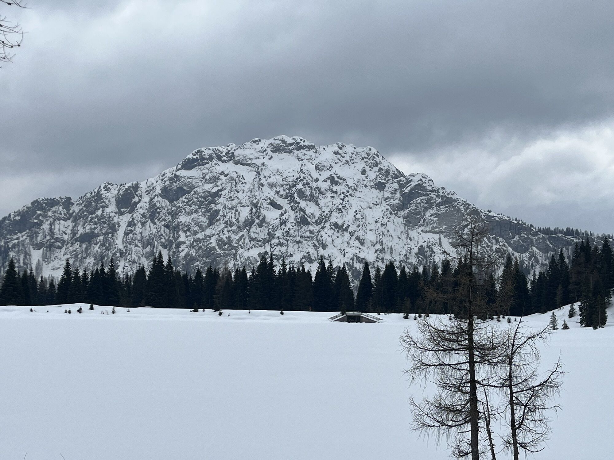
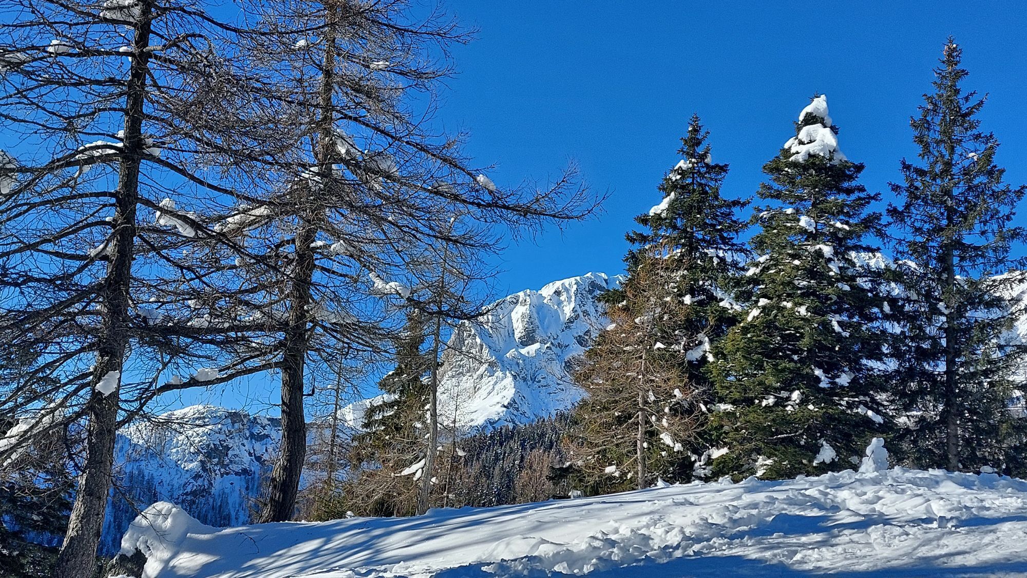
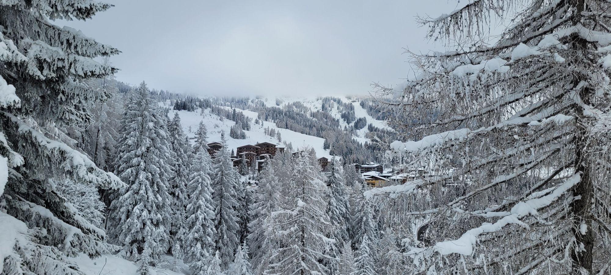
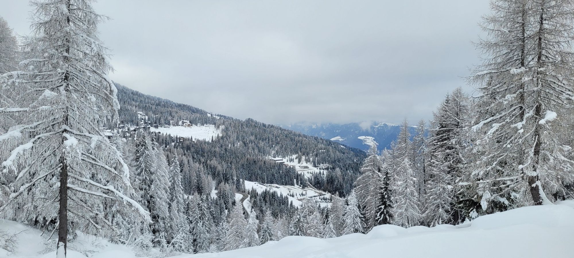
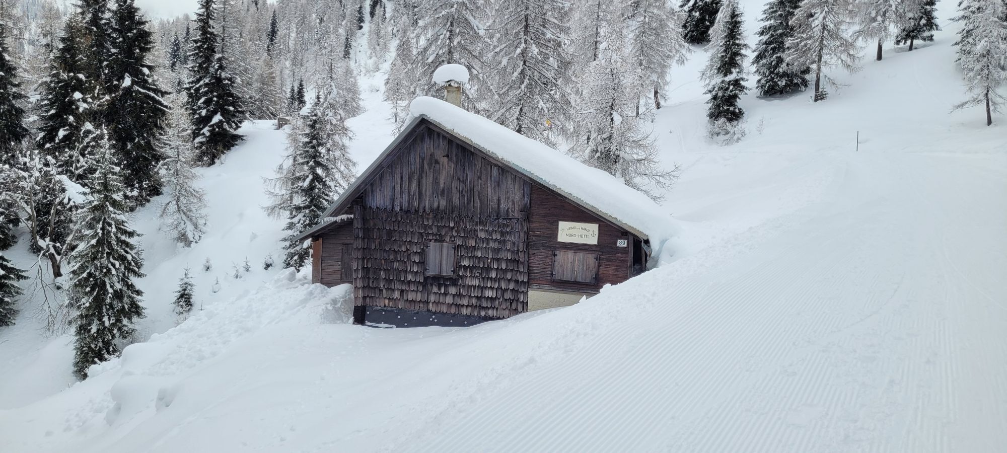
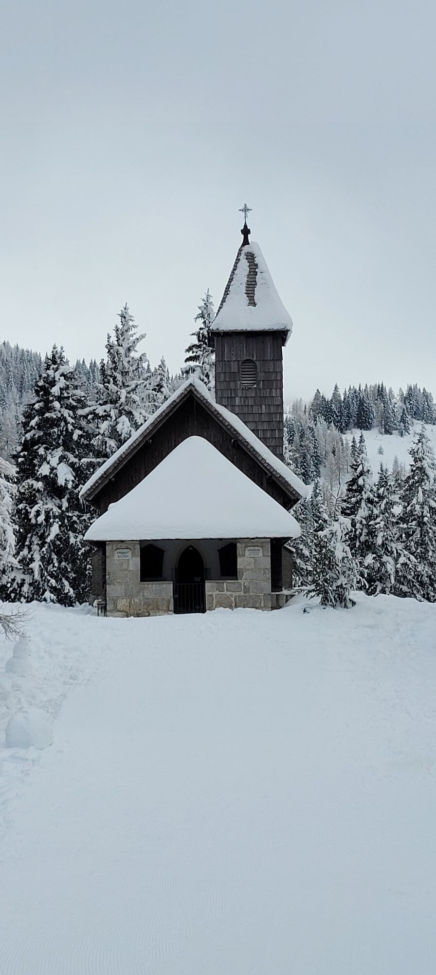
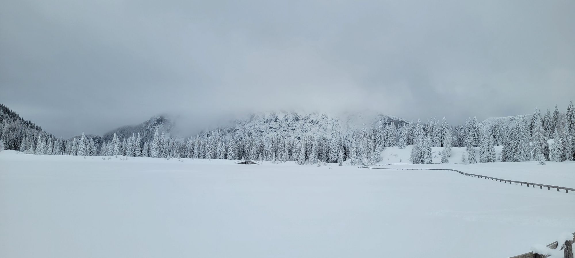
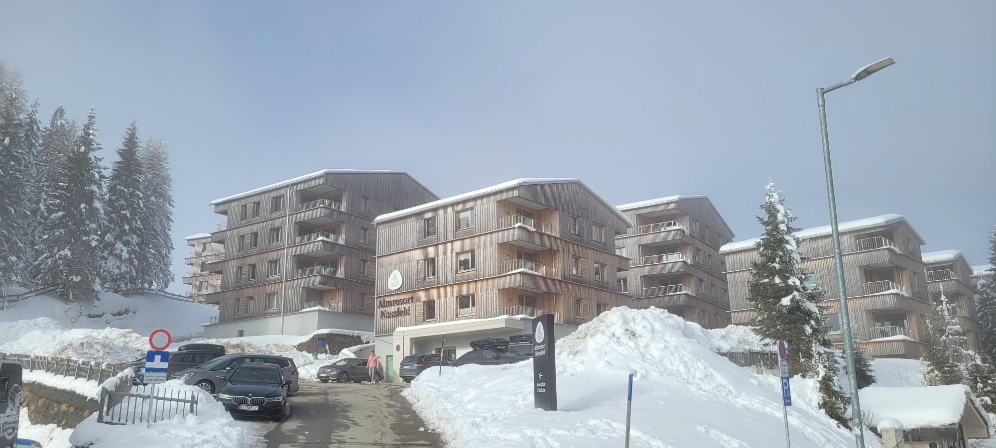
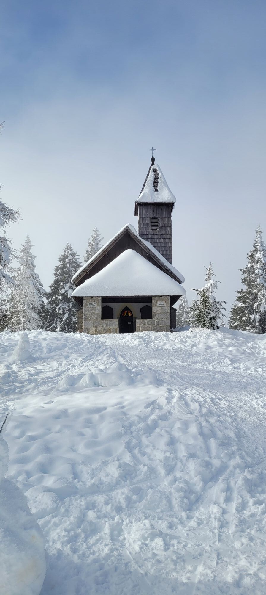
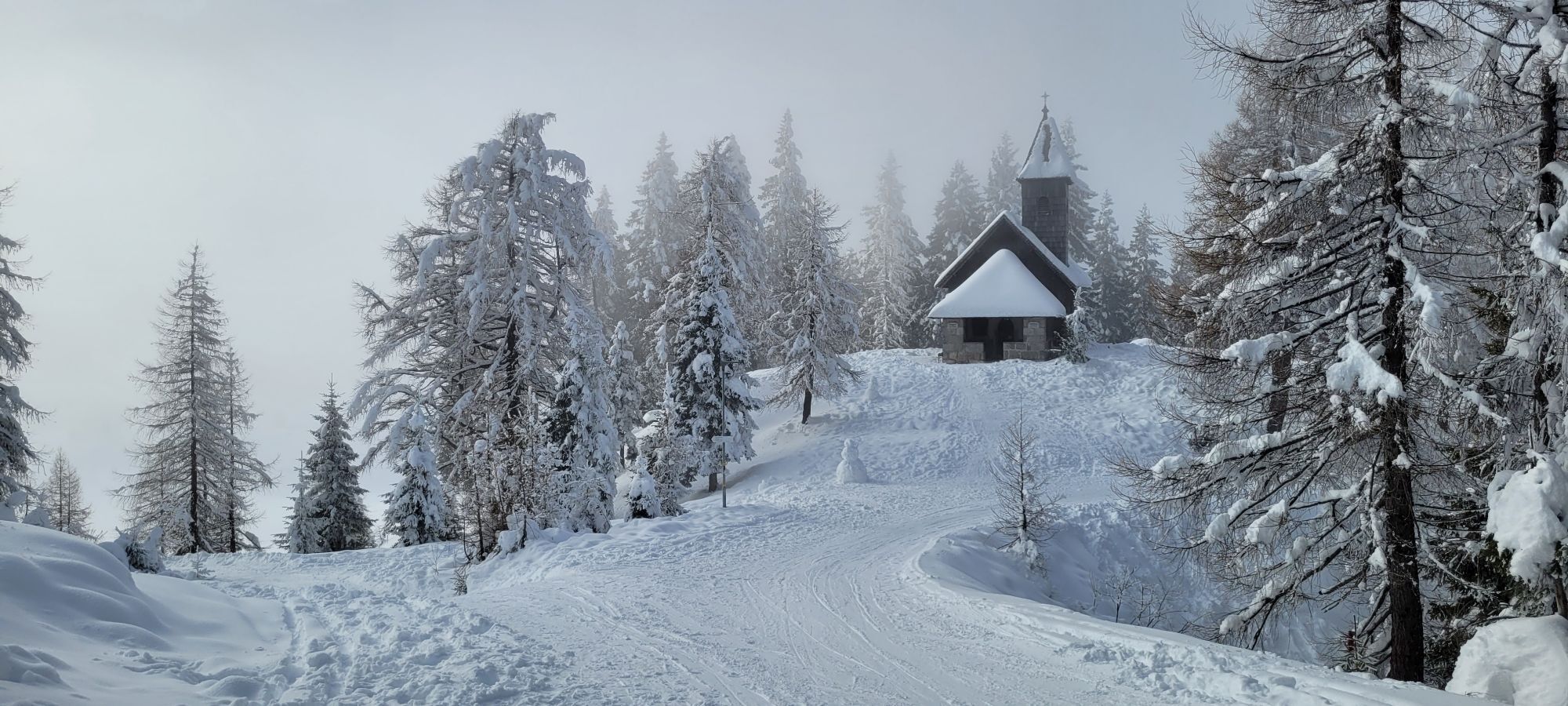
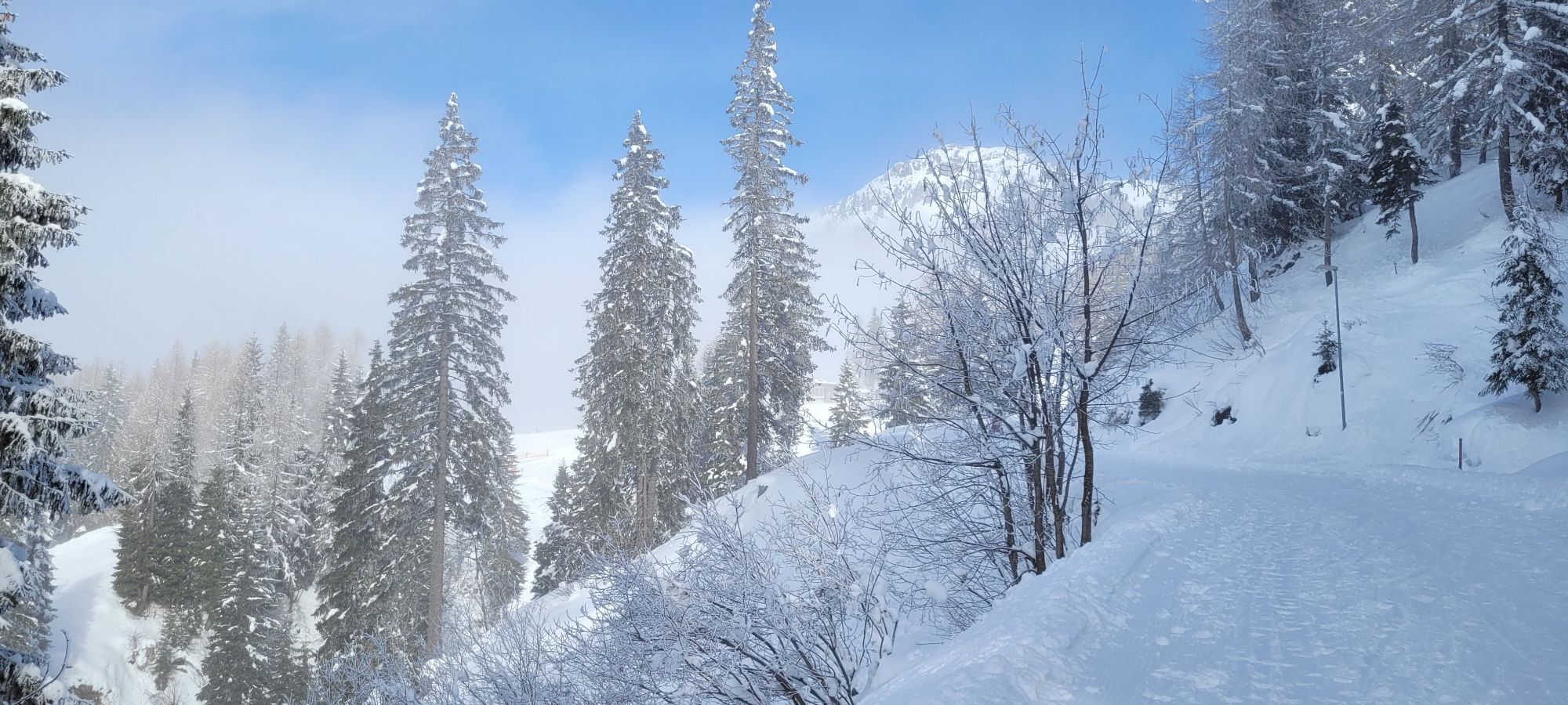
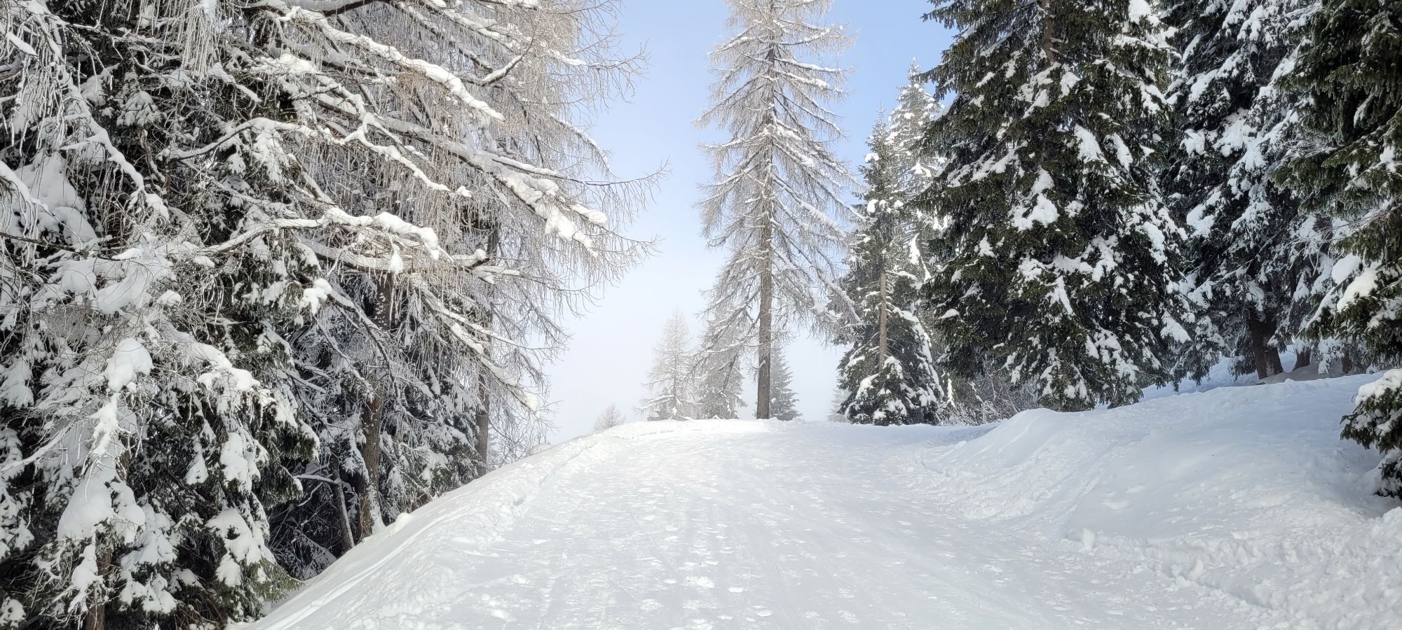
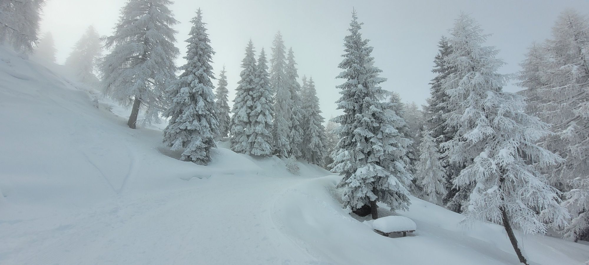
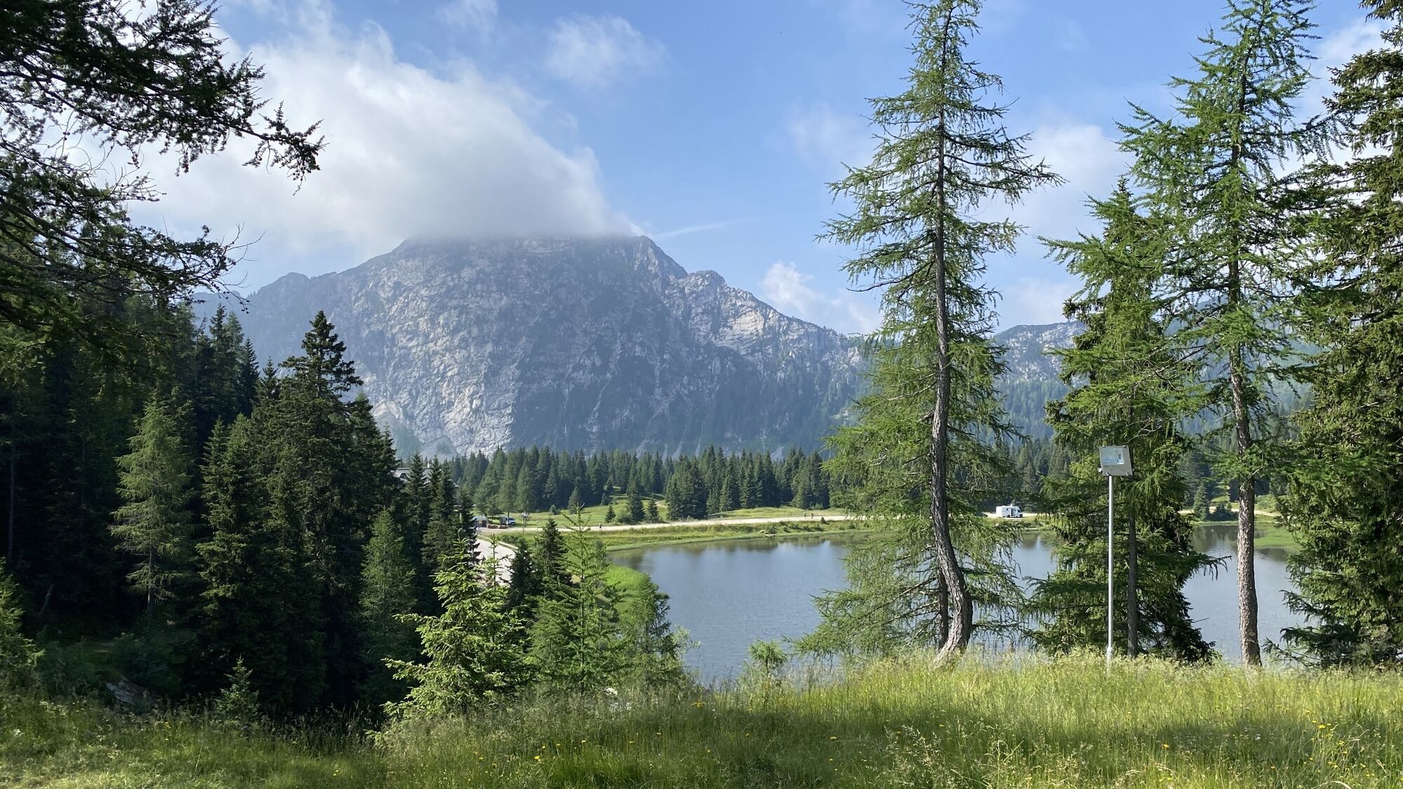
The hike leads from the state border to the Watschiger Alm and back via the sulfur spring. You will learn about botanical and geological features and also dive into the long history of this area with a...
The hike leads from the state border to the Watschiger Alm and back via the sulfur spring. You will learn about botanical and geological features and also dive into the long history of this area with a focus on World War I.


Waypoints Historical Mile Nassfeld:
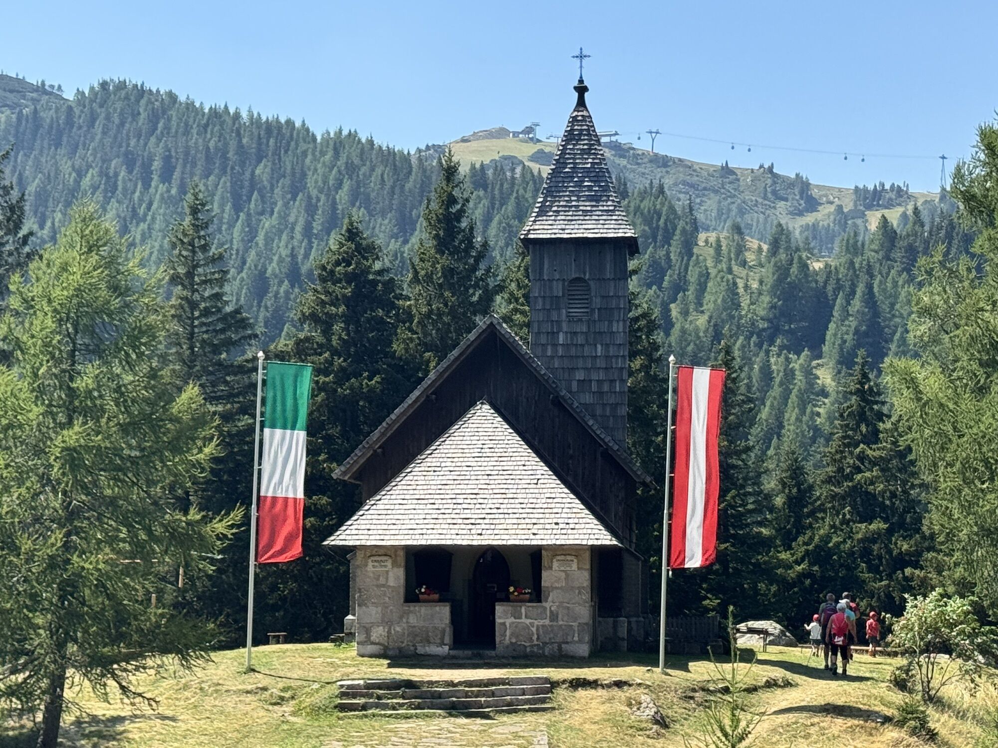
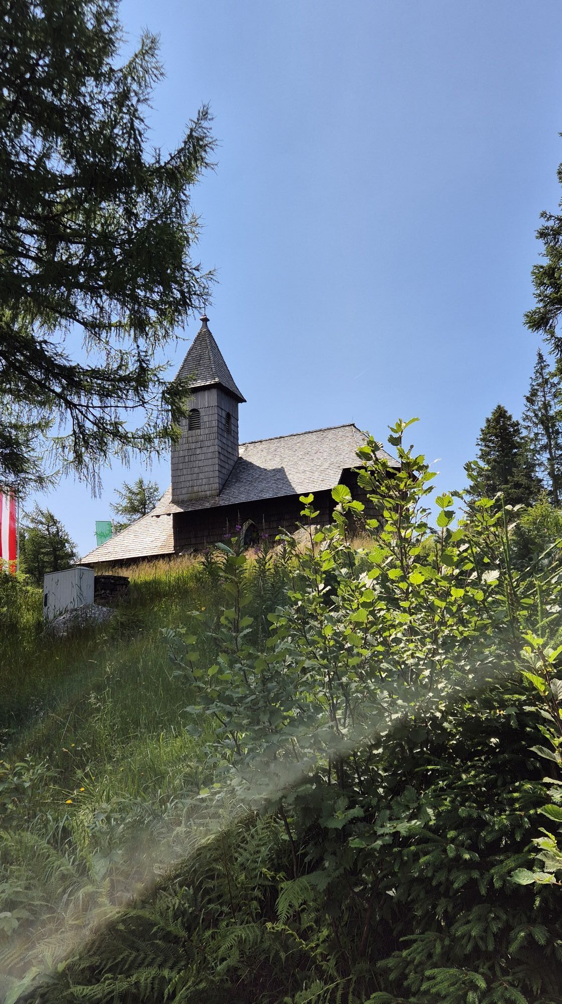
Border crossing Nassfeld Stone Age hunting ground The Iron Wulfenia as a monument of friendship The border line between Austria and Italy after World War I The Nassfeld Church Trenches serve as a warning A boundary stone tells a story Weapons roared The first Nassfeld hut of the Alpine Club Stone memorial at the Watschigeralm road The second Nassfeld hut of the Alpine Club The Austrian military camp under the Auernig The Wulfenia K.u.k. soldiers on the Watschiger Alm The construction of Nassfeldstraße during World War I The sulfur springAno
Mindfulness for nature – landowners – your health... and safety on the mountain have the highest priority on your tour and the associated tour planning!
Therefore, before every hike, inquire about the rules of conduct – Mountain Safety – and the current weather conditions.
Waste disposal:
Trash is not always avoidable – but it has no place in nature and must be disposed of properly (preferably in the valley or at home).
Emergency numbers:
European emergency number: 112 (accessible in every available network)
Austrian mountain rescue: 140
Coming from Hermagor or Kötschach-Mauthen, you drive via the B111 (Gailtal Road) towards Tröpolach/Nassfeld junction – from there you continue via the B90 (Nassfeld Pass Road) to Sonnenalpe Nassfeld or to the border crossing (Austria/Italy).
Public transport:
The most sustainable travel option is by train (coming from Villach) to Hermagor. From Hermagor, you can then reach the town of Tröpolach by bus.
Alternatively, there is the possibility to arrive by bus from the direction of Kötschach-Mauthen or Villach to Hermagor or Tröpolach.
From Tröpolach, there are now two options – either you take the Alm shuttle (phone registration required) to continue to the state border,
or you take the Millennium Express from Tröpolach to the Kofelcenter (mountain station) and then use the chairlift of the Madritschenbahn for the descent, to reach the starting point of the Geotrail at the Nassfeld Pass state border after a 10-minute walk.
Details at - Nassfeld mobility information and Carinthian Lines route planner
Travel to Tröpolach is possible by public transport.
www.nassfeld.at/mobilitaet
Free parking spaces are available just before the state border.
You can find this and many other infos at - Tour tips and provider information
Dining options:
- Livio (near the parking lot)
- Kabrio (near the parking lot)
- Al Gallo Forcello (near the parking lot)
- as well as numerous restaurants, huts etc. in the Nassfeld ski area – details at Service A-Z
The history of mankind is also one of weapons – they were used here already 9000 years ago – for hunting. This arc thus figuratively spans from the Stone Age to the 30.5 cm mortar in WWI.
The hike leads from the state border to the Watschiger Alm and back via the sulfur spring. Along the way, visitors learn about botanical and geological features, but also immerse themselves in the long history of this area with a focus on World War I. It is a path to reflection and aims to remind us how grateful we should be for a united Europe.
The Nassfeld Church – created during the war – became a symbol of international understanding and peaceful coexistence, as well as an important mission for the future. Nassfeld formed an important regional building block on the way to a common, peace-preserving Europe. European history was indeed written here. Follow these traces. And tell others about them. The authors - Dr. Hermann Verderber & Leopold Salcher
 Získejte přehled Vždy živě na místě s více než 9 500 webkamerami. bergfex Jako uživatel Pro si nyní můžete zobrazit odpovídající webové kamery pro mnoho prohlídek v aplikaci prohlídky z. Můžete si tak přímo prohlédnout aktuální podmínky.
Oblíbené prohlídky v okolí
- 4.7
W5 - Naggler Alm Round Weissensee
středníMountainbike 15.8 km - 4.6
RW_N9 Weißenbachklamm
středníTuristika 7.49 km - 4.8
Tarvisio - Venzone (C101)
středníCyklistika na velkou vzdálenost 64.7 km - 4.6
Bergstation Weißensee bis Golz
středníTuristika 14.8 km - 5.0
Bodenalm - Ostufer - mit dem Schiff zurück
Mountainbike 19.1 km - 4.9
Weißenbachklamm
heavyTuristika 5.80 km - 4.3
Slow Trail Pressegger See RW_N16
světloTuristika 5.78 km - 4.3
Malurch Nassfeld
středníTuristika 9.60 km - 5.0
Nassfeld Grenze - Gartnerkofel
světloTuristika 8.41 km - 4.6
ST_N7 Gartnerkofel (2,195 m)
Lyžařská trasa 3.94 km

Pěší turistika a stopování


Nenechte si ujít nabídky a inspiraci pro vaši příští dovolenou
Vaše e-mailová adresa byl přidán do poštovního seznamu.





