







St. Veit / Glan - Launsdorf - Passering - St. Veit/Glan route
Úroveň obtížnosti: 2
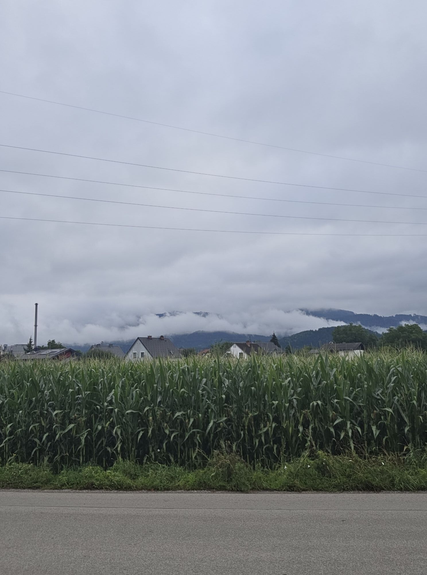
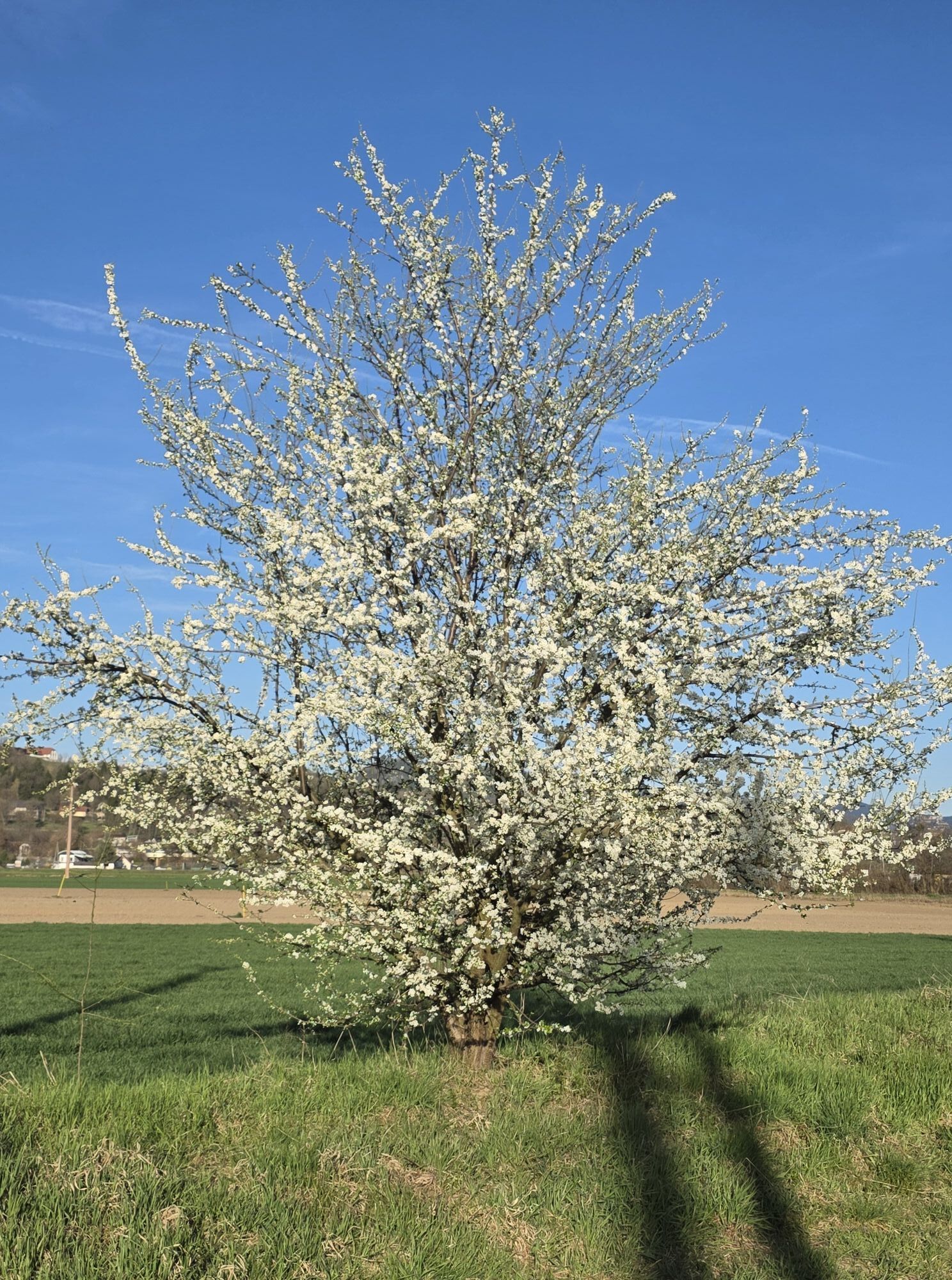
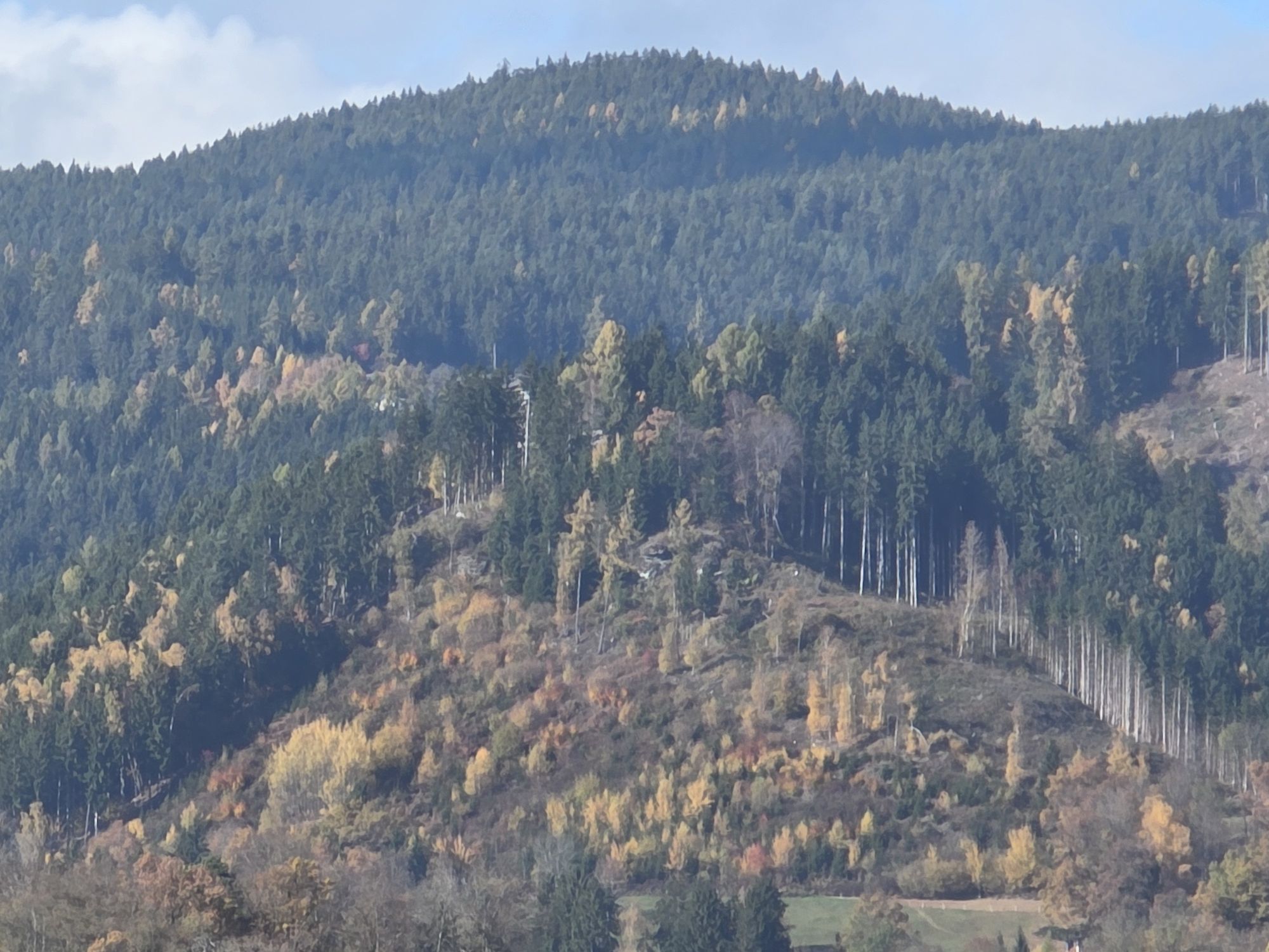
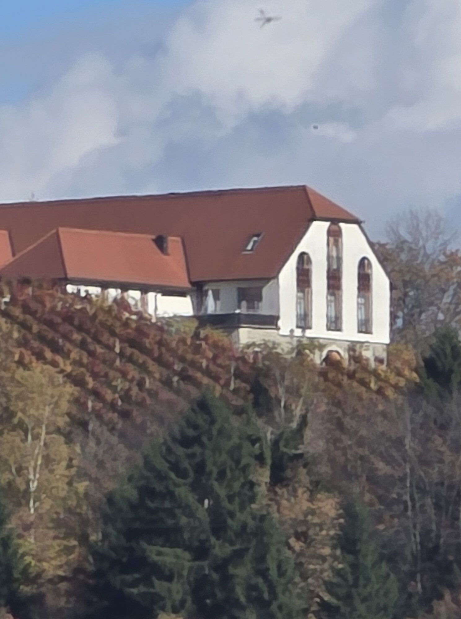
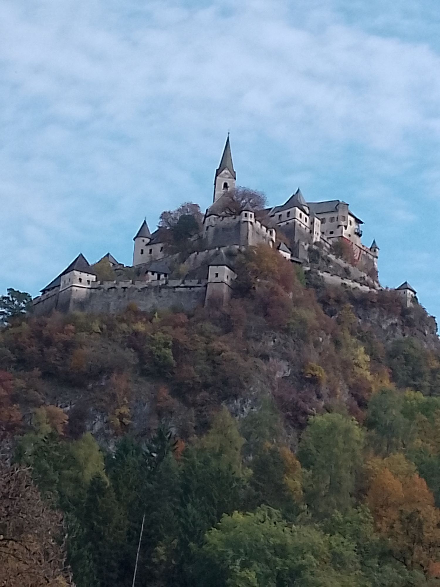
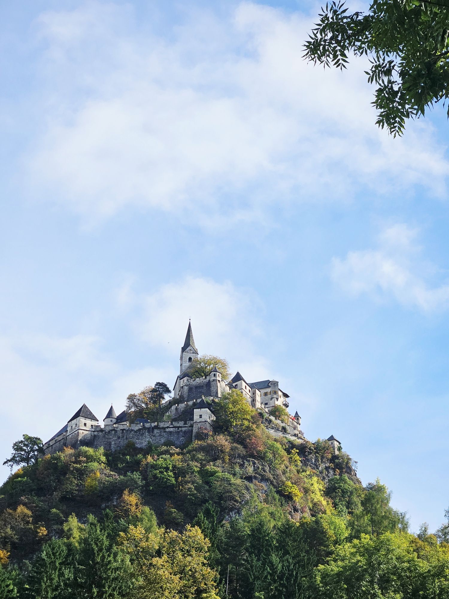
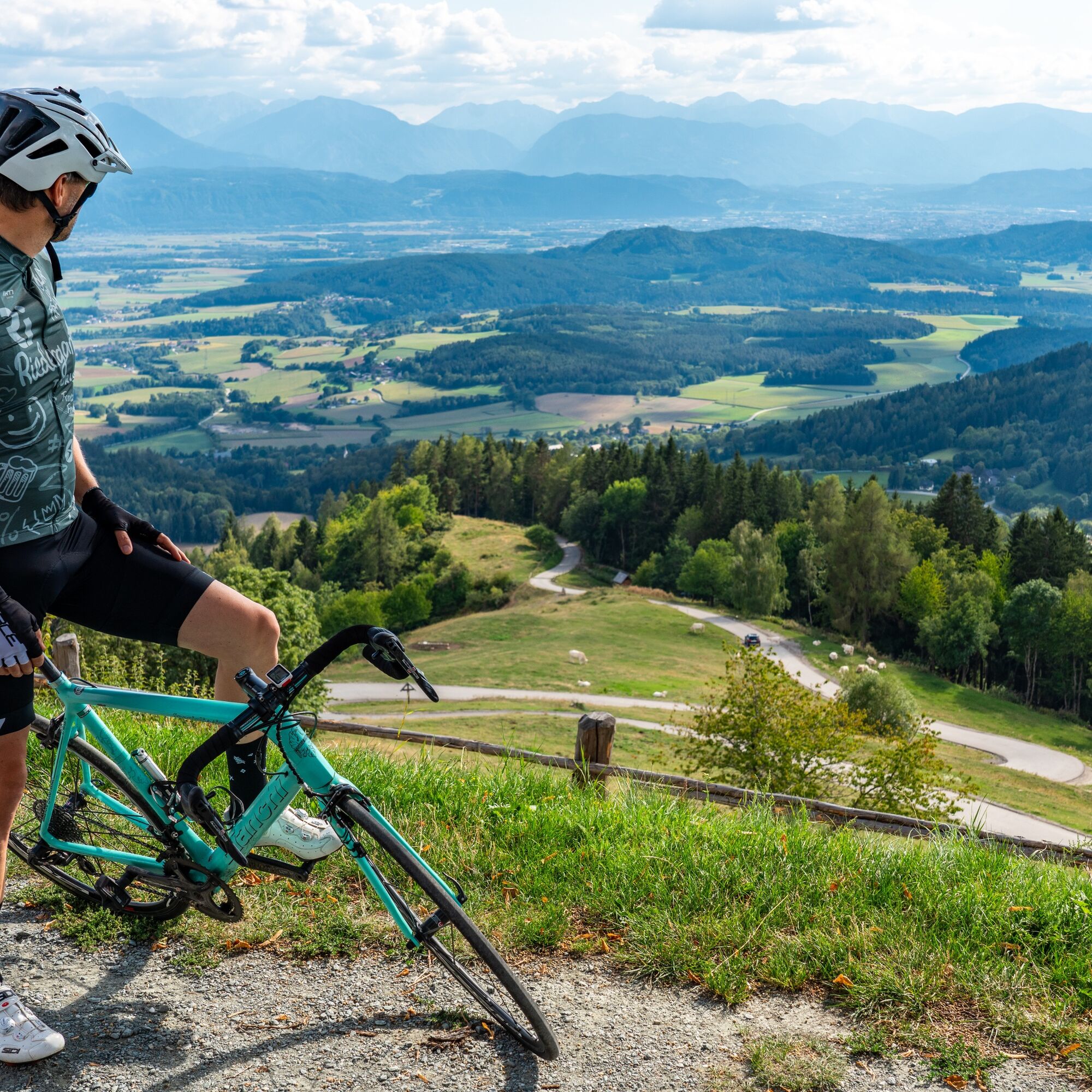
This road bike route offers a varied path with flat sections, slight climbs, and beautiful panoramas. It starts and ends in the historic town of St. Veit an der Glan and passes through Launsdorf and Passering,...
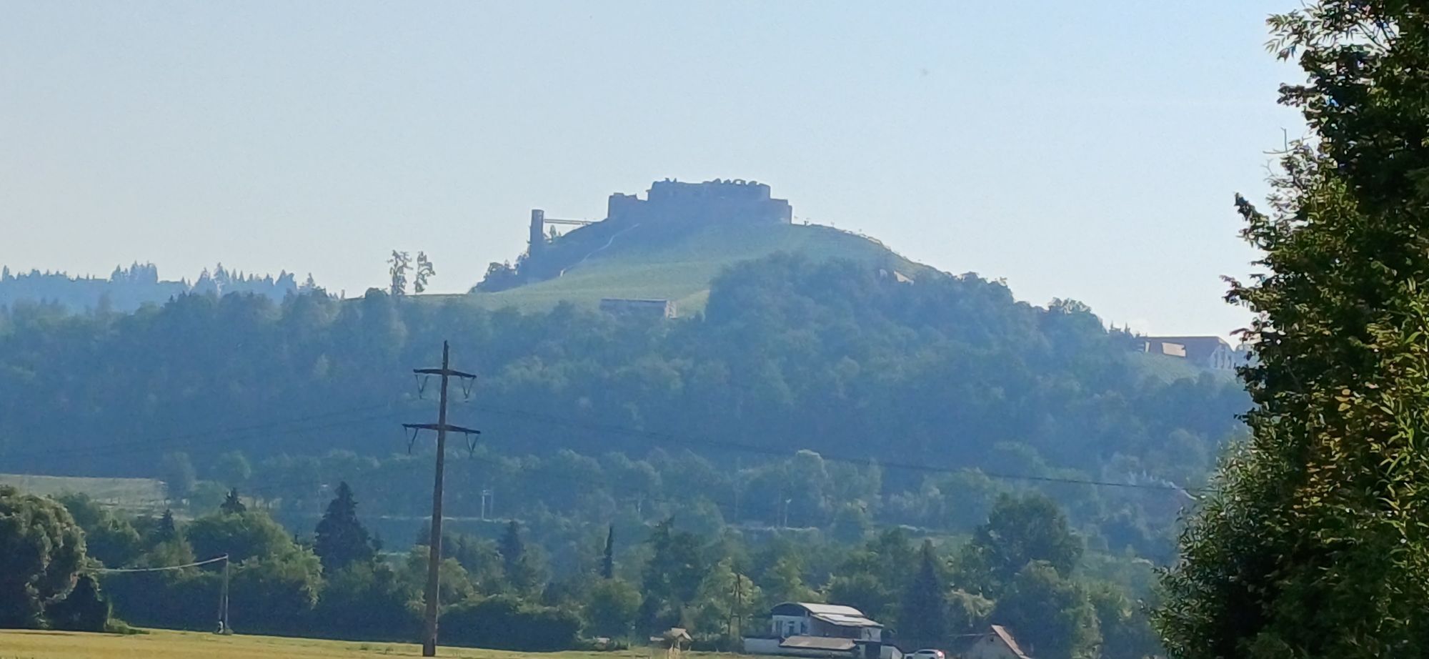
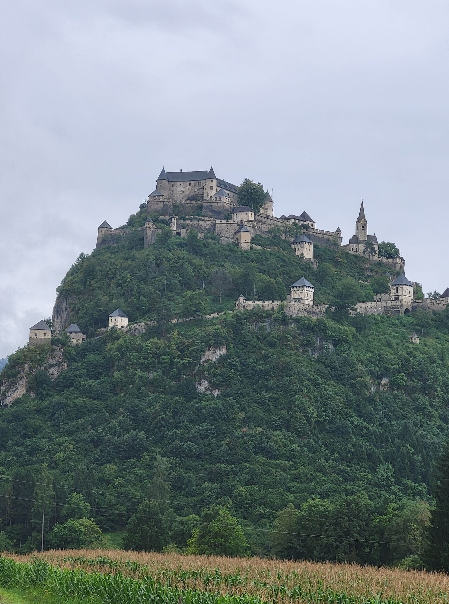
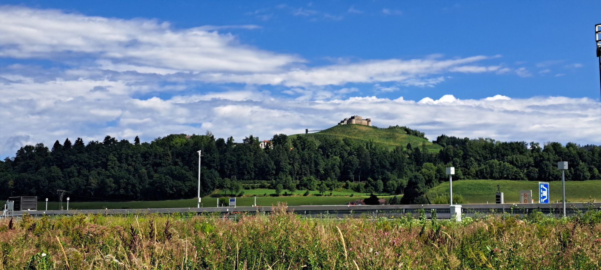
This road bike route offers a varied path with flat sections, slight climbs, and beautiful panoramas. It starts and ends in the historic town of St. Veit an der Glan and passes through Launsdorf and Passering, along quiet side streets and past cultural landmarks like the impressive Hochosterwitz Castle.
With a distance of about 45 km and few elevation meters, the route is ideal for road cyclists seeking a moderate challenge. The well-asphalted roads and relaxed traffic make it a pleasant and safe route.
Perfectly suited for spring to autumn, this route invites you to combine athletic activity with discoveries in nature and Carinthian culture. Whether a sporty outing or a relaxed round trip – this route is a highlight for road bike enthusiasts.



Start in St. Veit an der Glan:
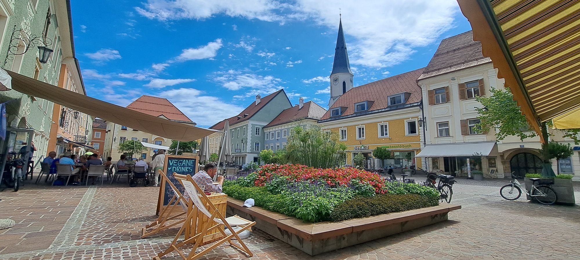
The starting point is the historic old town of St. Veit an der Glan.
Route to Launsdorf:
After about 10 km you reach Launsdorf, known for the nearby Hochosterwitz Castle.
Flat to gently rolling sections dominate this part of the route.
Weiter nach Passering:
The route leads north to Passering.
Here you will face slight climbs, providing a bit of athletic challenge.
Return to St. Veit an der Glan:
From Passering, it goes back to St. Veit via a scenic route.
The last section offers a relaxed ride, ideal for the end of the route.
Ano
sturdy footwear, suitable clothing, water bottle
inform someone where you are going and when you will be back
use your route planner:
from north: via Leoben – Judenburg – Neumarkt – St. Veit an der Glan
from east: via Völkermarkt – Klagenfurt – St. Veit an der Glan
from south: via Klagenfurt – St. Veit an der Glan
from west: via Villach – Klagenfurt – St. Veit an der Glan
Arrival by train: St. Veit an der Glan station (bicycle transport possible, reservation required for bicycles, detailed information at: www.oebb.at
see Oebb route planner:
https://fahrplan.oebb.at/webapp/#!P|TP!H|474375
ample parking available: parking garages, short-term parking zones
2
Old town of St. Veit/Glan
Museum St. Veit/Glan
Získejte přehled Vždy živě na místě s více než 9 500 webkamerami. bergfex Jako uživatel Pro si nyní můžete zobrazit odpovídající webové kamery pro mnoho prohlídek v aplikaci prohlídky z. Můžete si tak přímo prohlédnout aktuální podmínky. Oblíbené prohlídky v okolí
- 4.8
Abenteuer-Wasser-Weg
středníTuristika 9.13 km - 4.4
Certified hiking trail: Guttaring - Mariahilferweg - permanent IVV hiking trail
středníTuristika 11.2 km - 3.7
Kunstwanderweg rund um den Längsee (1)
světloTuristika 5.43 km - 4.4
Magdalensberg von St.Donat
světloTuristika 9.28 km - 4.1
MAGDALENSBERG RUNDWANDERUNG
středníTuristika 11.7 km - 4.1
Schloss Frauenstein - Kraiger lake circular route
středníTuristika 6.96 km - 4.3
Althofen Wald Ausichtsweg
světloTuristika 3.94 km - 4.0
Around the Buchberg (6)
středníTuristika 8.79 km - 4.7
Through the Wolschart Forest (8)
středníTuristika 9.98 km - 3.5
Schaumboden-Dreifaltigkeit circular route
heavyTuristika 13.4 km
Pěší turistika a stopování


Nenechte si ujít nabídky a inspiraci pro vaši příští dovolenou
Vaše e-mailová adresa byl přidán do poštovního seznamu.





