



Via ferrata Rotschitza Gorge

Úroveň obtížnosti: B/C


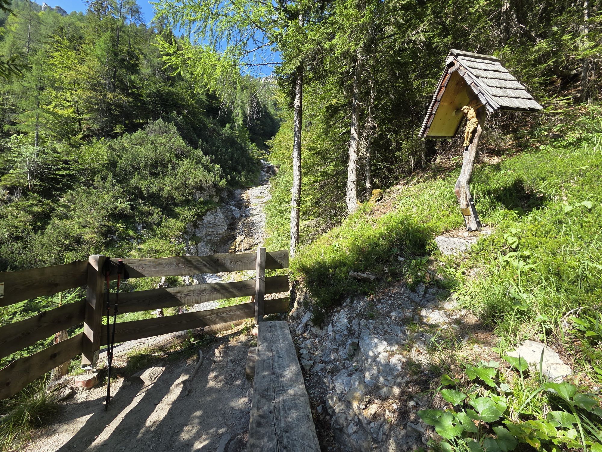


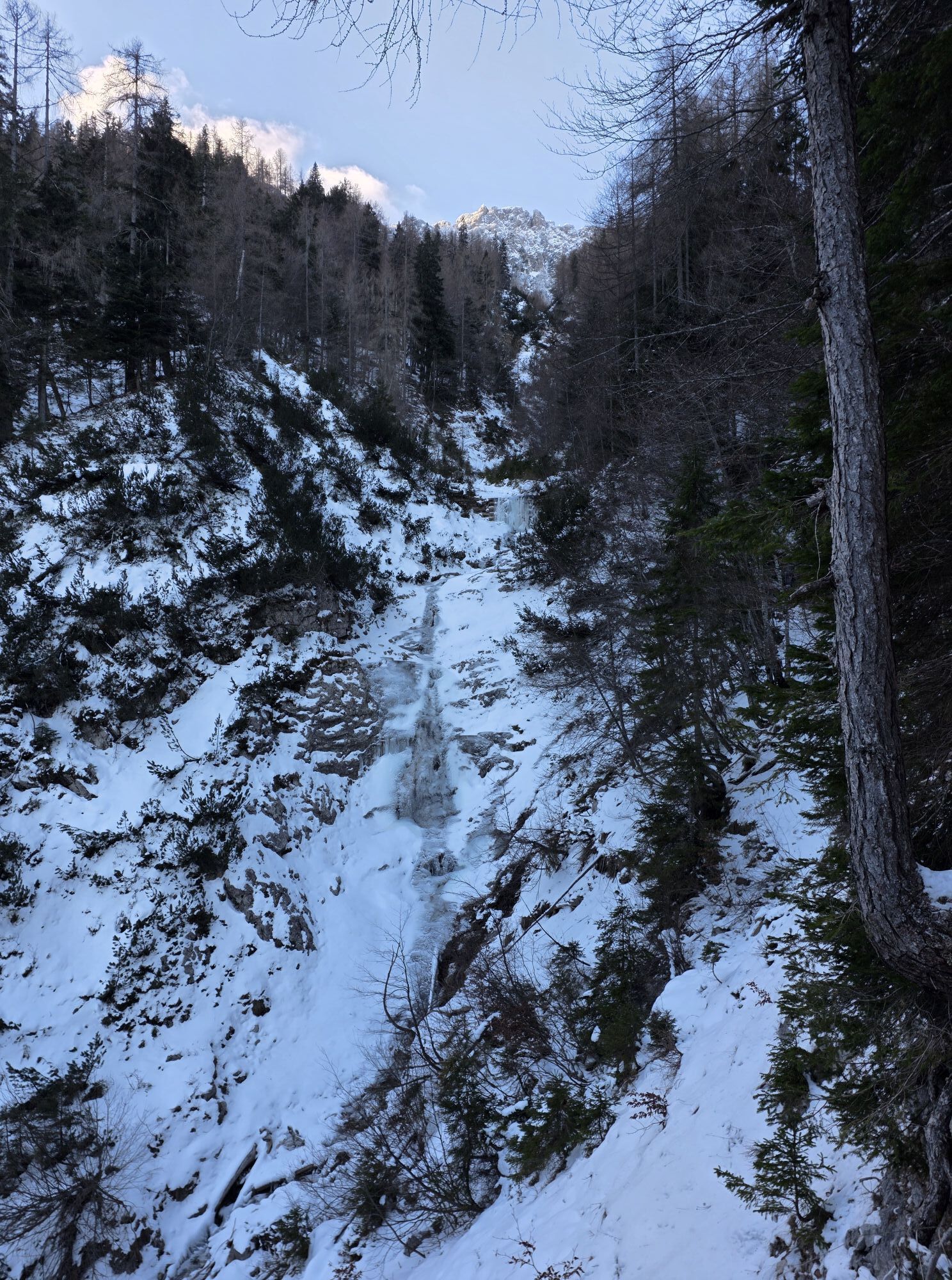
The via ferrata, renovated in 2009, is an exciting and challenging adventure for the sporty family with difficulty level B/C (moderately difficult). After a short hike, you reach the gorge from Baumgartnerhöhe...
The via ferrata, renovated in 2009, is an exciting and challenging adventure for the sporty family with difficulty level B/C (moderately difficult). After a short hike, you reach the gorge from Baumgartnerhöhe and follow the via ferrata along the Rotschitza stream.


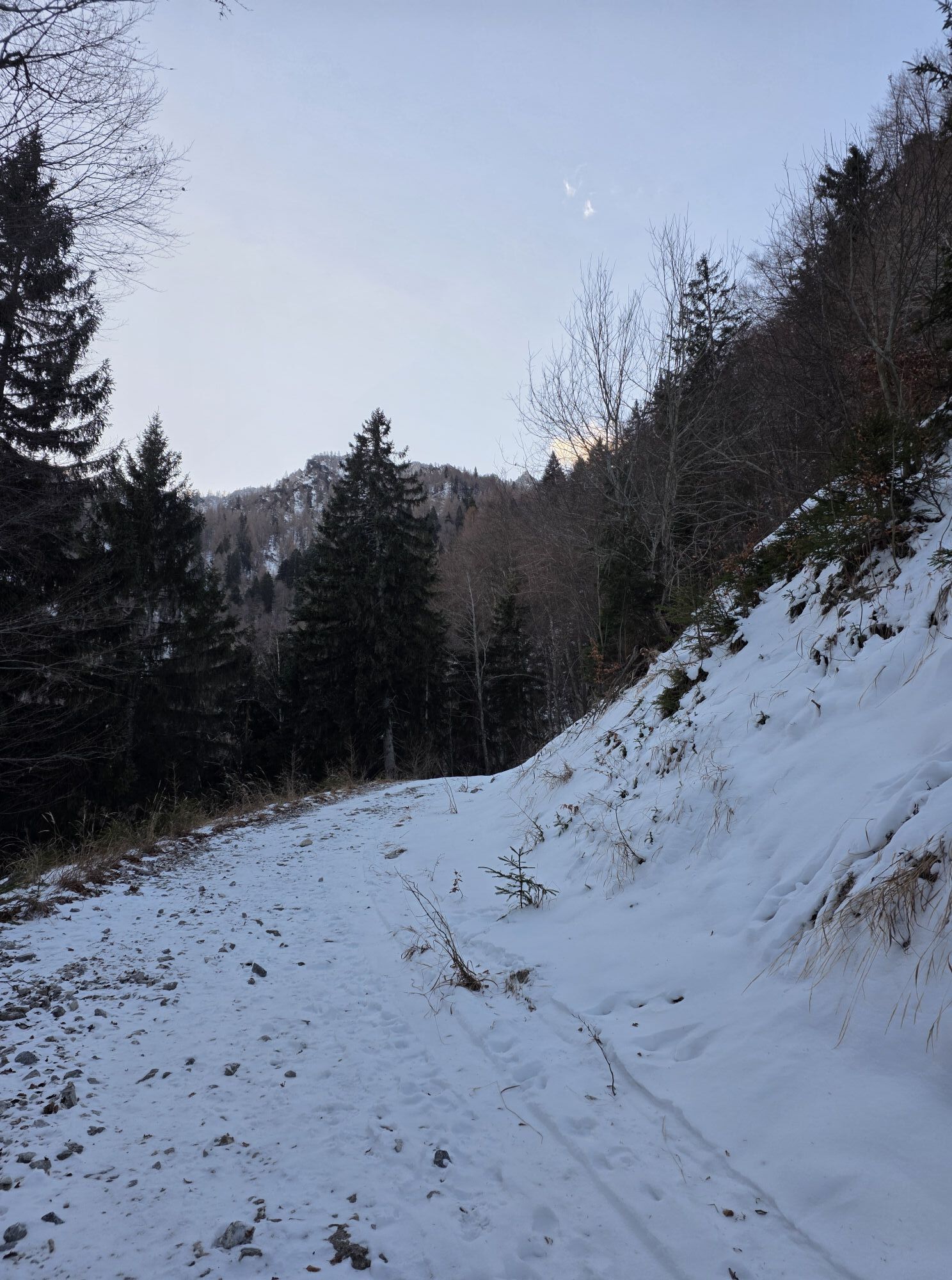
A hiking trail (approx. 45 minutes) leads from Baumgartnerhof to the Rotschitza waterfall - follow the red markings. You then reach a forest road where you go briefly downhill to the left and then uphill to the right into the forest just before the bridge. At the junction to the access path to the waterfall, turn left. Then you go around a ridge, descend to the stream, and follow it uphill to the entry at the small waterfall. On the way back, take hiking trail 683 to Baumgartnerhöhe (approx. 40 minutes)
Via ferrata set, climbing harness, helmet, sturdy mountain shoes, safety rope for children and beginners.
WARNING! Rockfall is possible - helmet is mandatory and good equipment is required!
Gorges and ravines count - despite possible proximity to municipal road networks - as alpine areas and mountaineering with corresponding alpine hazards. These hazards include:
Self- or externally triggered rockfall and forestry hazards especially after bad weather events (heavy rain, wind and snow breakage, falling branches, etc.) despite annual inspections Risk of falling off paths away from marked trails or improper use of infrastructure (bridges) Slipping hazards when wet or icy Visibility restrictions due to fogDespite annual infrastructural and organizational measures, appropriate equipment (see equipment recommendation) and vigilance regarding objective dangers must be maintained.
Please stay on the marked path!
Parents are responsible for their children!
A2 to Villach, exit "Villach Süd /Warmbad", B85 to Finkenstein. In the town center, turn right toward Burgarena Finkenstein, past the arena to Baumgartnerhöhe.
Baumgartnerhöhe is only accessible by car.
There are sufficient parking spaces at Baumgartnerhöhe.
B/C
Caution in the entry area at the waterfall due to rockfall - NEVER enter after or during heavy rainfalls!
Guided climbing tours through the alpine schools listed below are highly recommended.



Oblíbené prohlídky v okolí
- 4.4
Mittagskogel - Rundwanderung
heavyTuristika 14.5 km - 4.5
Mallestiger Mittagskogel
středníTuristika 8.17 km - 4.8
Schwarzkogel-Runde über Jepzasattel Schwarzkogel, Mallestiger Mittagskogel
středníTuristika 13.4 km - 4.3
Lake circular trail
světloNordic Walking 9.85 km - 4.9
Gratschenitzen Kreuz
heavyVysokohorská turistika 3 km - 4.7
Rotschitza Klamm Klettersteig B/C
středníVia ferrata 3.73 km - 4.7
Baumgtn. Höhe, Mallestiger Mittags- und Schwarzkogel
heavyZimní turistika 10.7 km - 4.4
Krnica Hut
středníTuristika 14.9 km - 4.4
Kopein, Bertahütte, Ferlacher Spitz (29)
středníZimní turistika 12.8 km - 4.6
Mallestiger Mittagskogel
středníTuristika 11.6 km
Pěší turistika a stopování


Nenechte si ujít nabídky a inspiraci pro vaši příští dovolenou
Vaše e-mailová adresa byl přidán do poštovního seznamu.


