


Magnitot Route: Magny en vexin
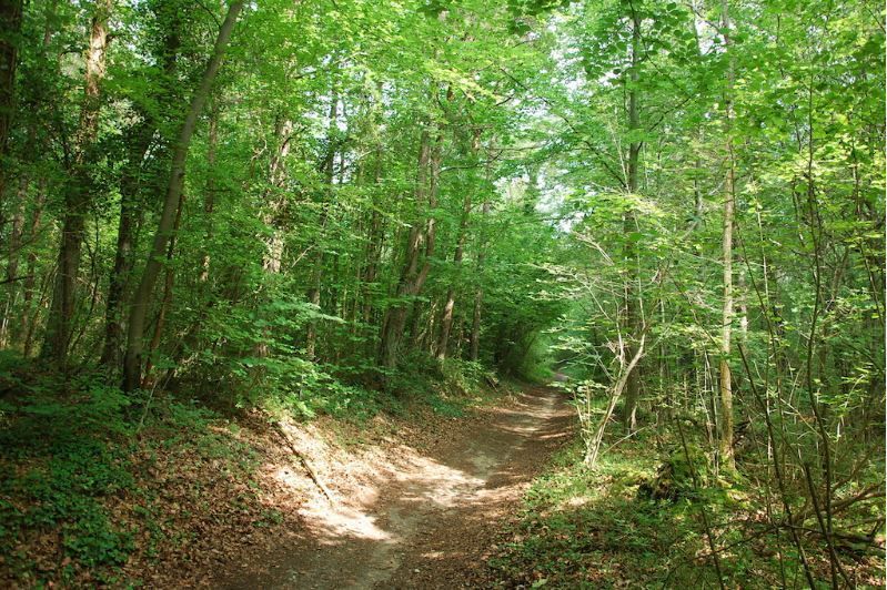
A most charming town, Magny-en-Vexin has an ideal location easily accessible in the heart of the Vexin français. Rich and diverse fauna and flora will accompany you throughout your hike. A unique journey...
A most charming town, Magny-en-Vexin has an ideal location easily accessible in the heart of the Vexin français. Rich and diverse fauna and flora will accompany you throughout your hike. A unique journey not to be missed.
Start of the route: Magny-en-Vexin
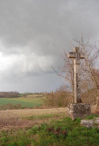
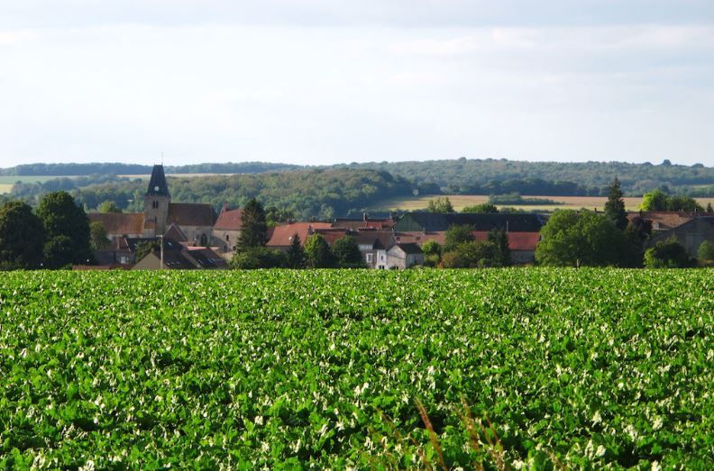
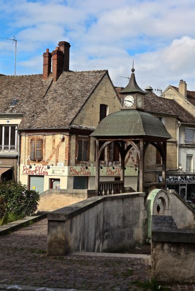
To see along the way :
- The Magnitot castle in Saint-Gervais,
- In Magny-en-Vexin: Tour des Cordeliers, Notre-Dame Church, Place Potiquet, Hôtel de l'Ecu de France, Filming locations.
- The Louvière farm in Omerville.
This route is offered by UFOLEP 95 and available on Val d'Oise MyBalade

Oblíbené prohlídky v okolí
-
Painters' Path of La Roche-Guyon
světloTematická stezka 2.37 km -
Circuit vélo : le Vexin Ouest
středníSilniční kolo 48.8 km -
Théméricourt Loop
světloJízda na kole 30.9 km -
Discovering the marquises and their castles
středníJízda na koni 33.8 km -
Bike route around the Cross pattée
světloSilniční kolo 23.4 km -
Chemin des peintres de Vétheuil
světloTematická stezka 2.80 km -
Circuit la Vallée du Roi : Villers en Arthies
středníMountainbike 13.1 km -
Église Saint-Sulpice - Sailly
světloTuristika 4.68 km -
Lainville-en-Vexin - Le Prieuré - Montalet-le-Bois - Église Saint-Martin
světloTuristika 5.81 km -
Saint-Martin-la-Garenne - Chapelle du Prieuré - Église Saint-Martin
světloTuristika 2.96 km

Pěší turistika a stopování


Nenechte si ujít nabídky a inspiraci pro vaši příští dovolenou
Vaše e-mailová adresa byl přidán do poštovního seznamu.