


Willingen-Schwalefeld (S4)
The route leads through the Ittertal up to the Pioneer Bridges. There you cross the highway and hike through a beautiful beech forest up halfway on the Treis, continue to Café Fernblick, and descend back...
The route leads through the Ittertal up to the Pioneer Bridges. There you cross the highway and hike through a beautiful beech forest up halfway on the Treis, continue to Café Fernblick, and descend back to the starting point at Schwalefeld.

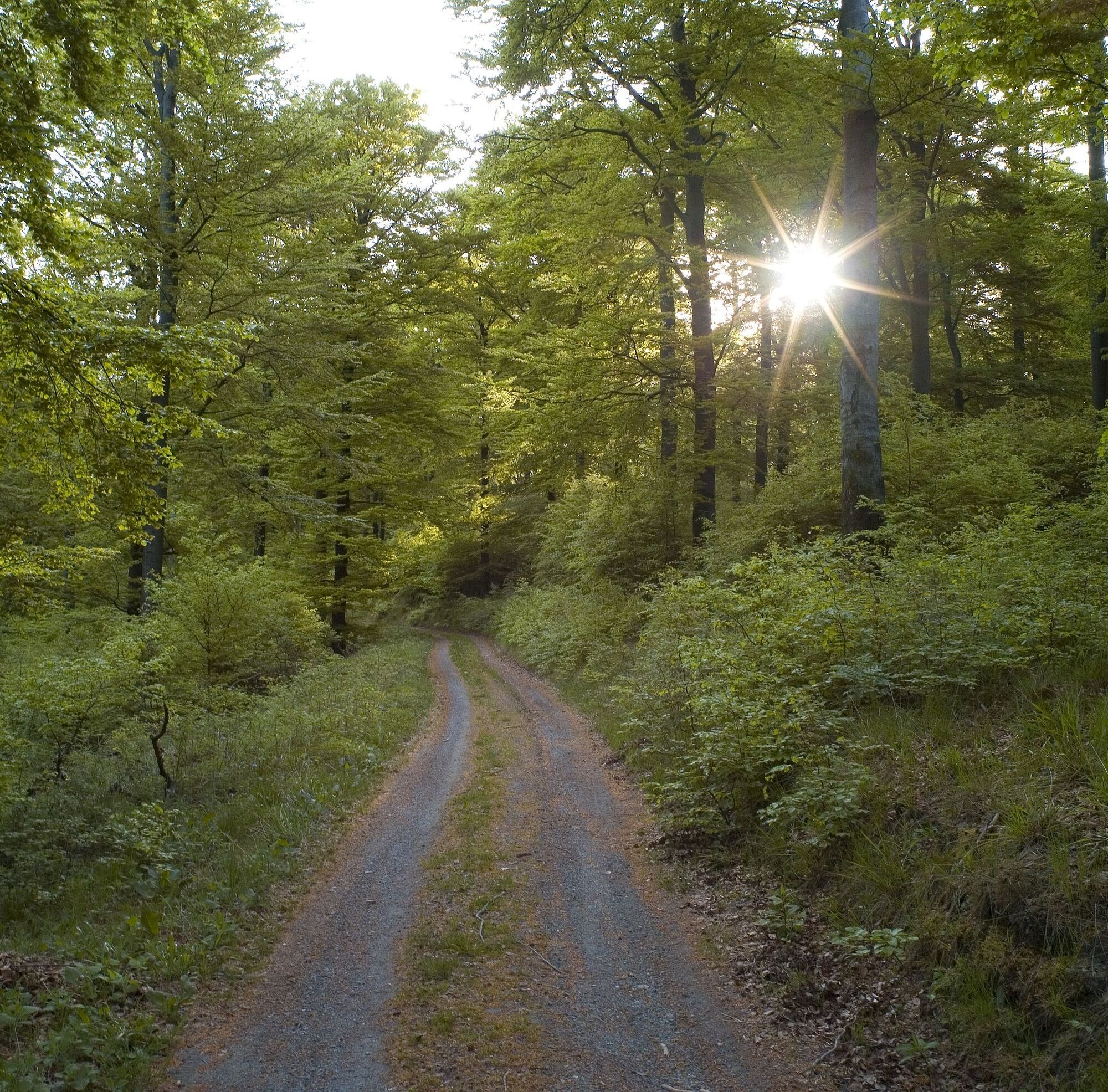
From the center of Schwalefeld, you pass the Pilgrim Church and Café Waldesruh, downhill through the Ittertal to the so-called Pioneer Bridges. There you cross the state road to Bontkirchen/Diemelsee and walk through beech forest up halfway on the Treis. Once this height is reached, you walk almost level to Café Fernblick, where the descent back to the valley to Schwalefeld begins.
Sturdy footwear, weather-appropriate clothing, packed snacks, and sufficient fluids (water, tea) are recommended.
By car via the B251 to Willingen (Upland), then on to Schwalefeld, turn in the village center onto the street "Zur Kirchwiese"
Bus/train to Willingen station, then continue by bus or on-call shared taxi, stop Schwalefeld, Upländer Hof
Free parking at the Schwalefeld Tourist Information, Zur Kirchwiese 2, 34508 Willingen (Upland)
Webové kamery z prohlídky
-
Talstation Ettelsberg-Seilbahn
-
Kurhotel Hochsauerland 2010
-
Kurhotel Hochsauerland 2010
-
Kurhotel Hochsauerland 2010
-
Kurhotel Hochsauerland 2010
-
Hochheideturm - Ettelsberg
-
Skywalk
-
Skywalk
-
Stern Hotel Sauerland
-
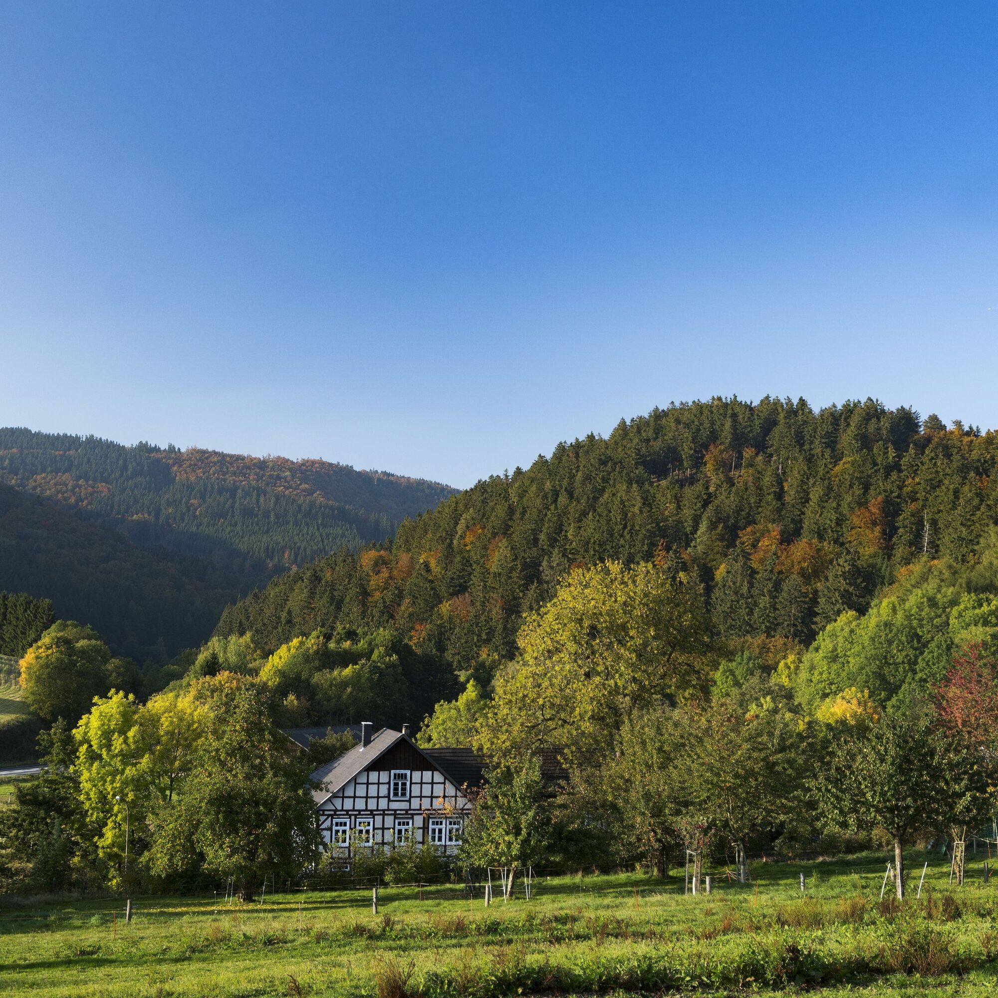
Schwalefeld - Cafe Fernblick
-
Willinger Brauhaus
-
Ettelsberg
-
Talstation Ettelsberg Seilbahn
-
Ettelsberg Seilbahn Bergstation/ Hochheideturm
-
Sesselbahn Ritzhagen Berg
-
Mountainbike-Strecke K1
-
K1 Gipfelkreuz
-
Bikepark (Sommer) / Skipiste an K1-Hütte (Winter)
-
Spielplatz, Bergsee, K1-Gipfel
-
Spielplatz am Hochheideturm
-
Ettelsbergplateau
-
Ettelsberghütte
-
Bergstation Ritzhagen
Oblíbené prohlídky v okolí
-
4.7
Bruchhauser Steine B1
středníTuristika 11.8 km -
5.0
Circular route Skywalk/Hill - Ettelsberg
světloTuristika 4.10 km -
4.5
Bruchhausener Steine
heavyTuristika 5.15 km -
5.0
Rundwanderung Ruhrquelle Winterberg
světloTuristika 3.74 km -
5.0
Rothaarsteig-Spur - Grönebacher Dorfpfad
středníTuristika 10.6 km -
4.8
Rundwanderung Diemelsee
světloTuristika 8.54 km -
4.0
Willingen (W8)
středníTuristika 12.9 km -
5.0
Willingen (W6)
středníTuristika 12.9 km -
5.0
Strycktal circular route (Willingen)
středníTuristika 3.99 km -
5.0
Uplandsteig - THE Original -
heavydálková pěší trasa 66.1 km
Pěší turistika a stopování


Nenechte si ujít nabídky a inspiraci pro vaši příští dovolenou
Vaše e-mailová adresa byl přidán do poštovního seznamu.