







Road bike - To Aabach dam


Willingen – Rattlar – Ottlar – Stormbruch – Heringhausen – Padberg – Adorf – Giershagen – Marsberg – Essentho – Fürstenberg – Thülen – Messinghausen – Hoppecke – Bontkichen – Willingen

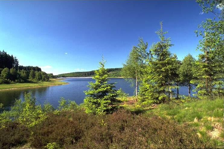
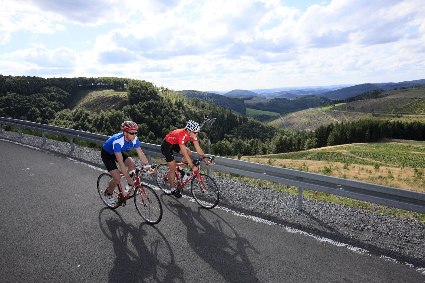
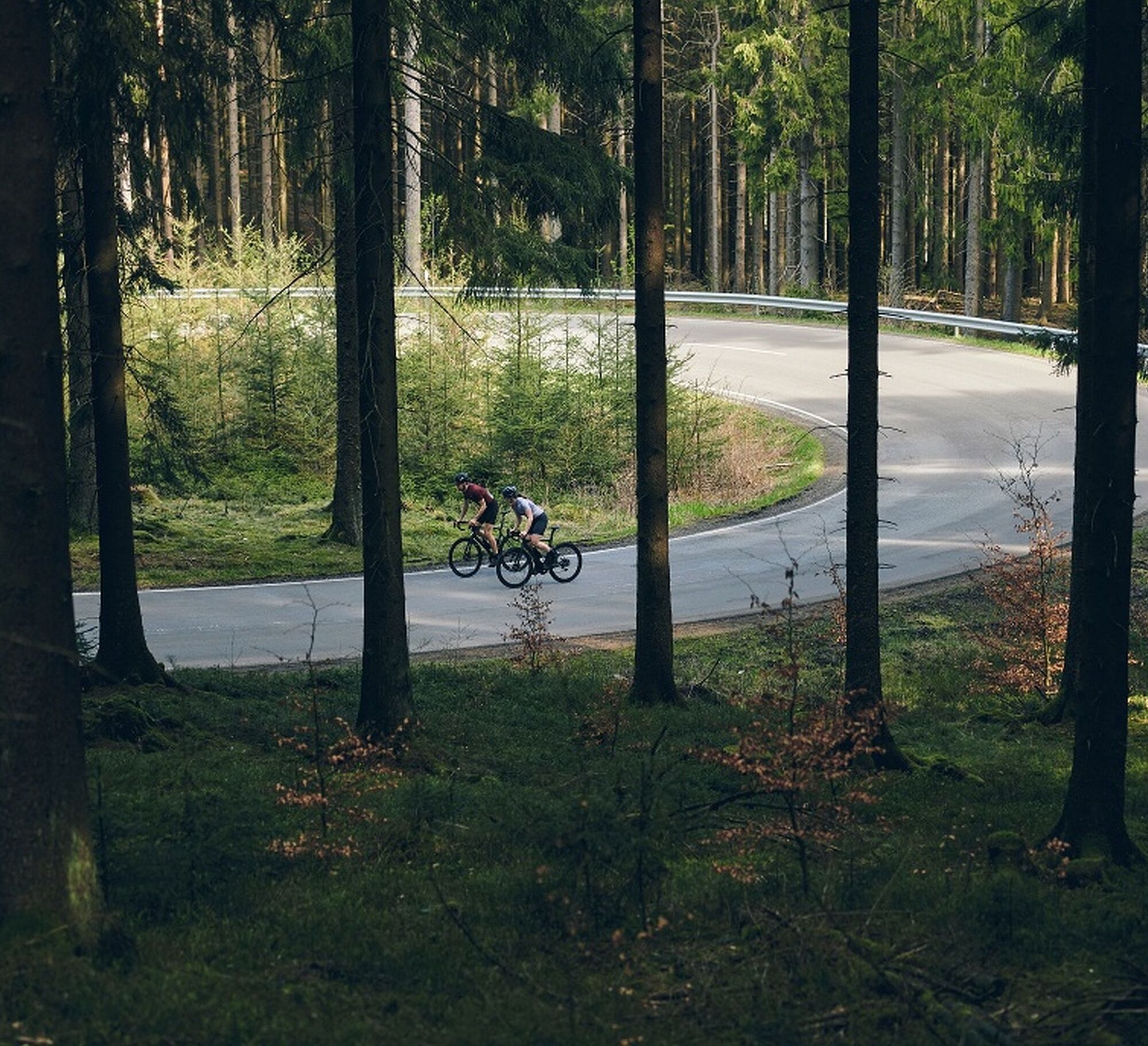
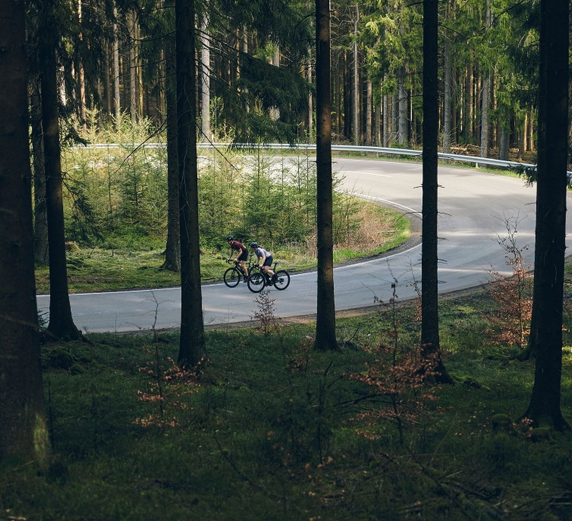
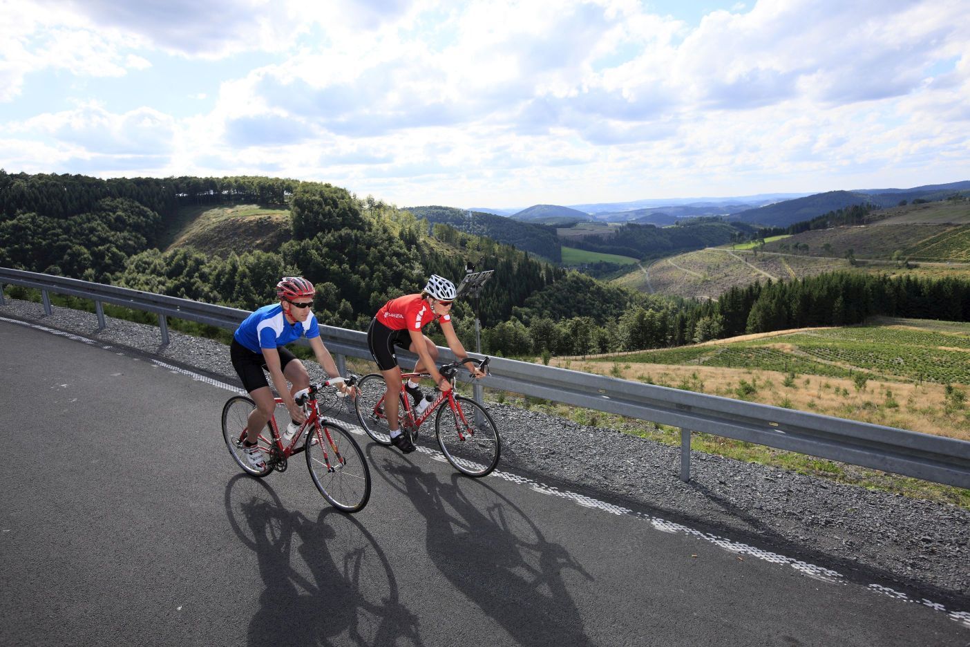

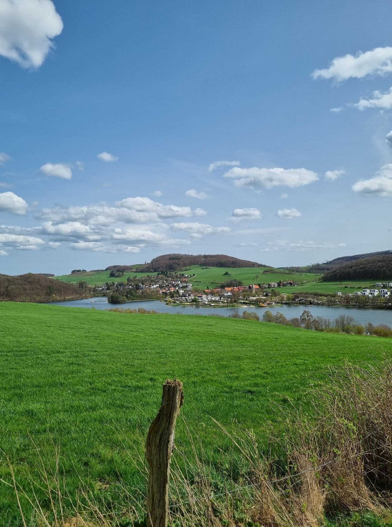
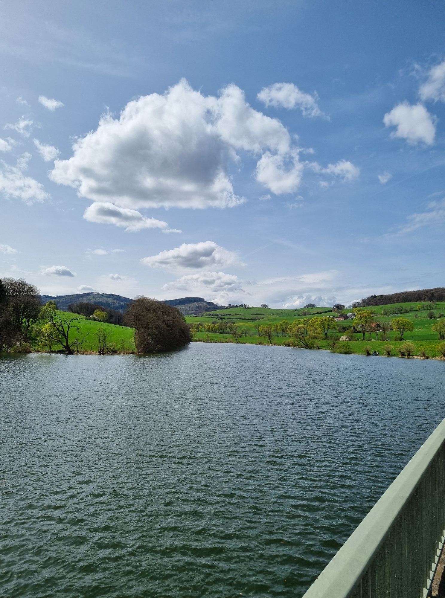
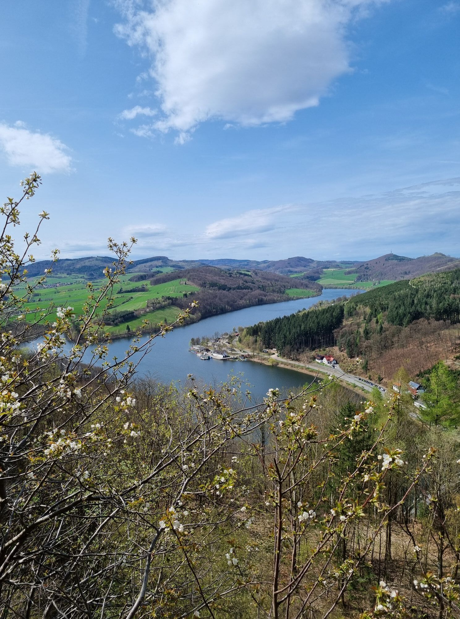
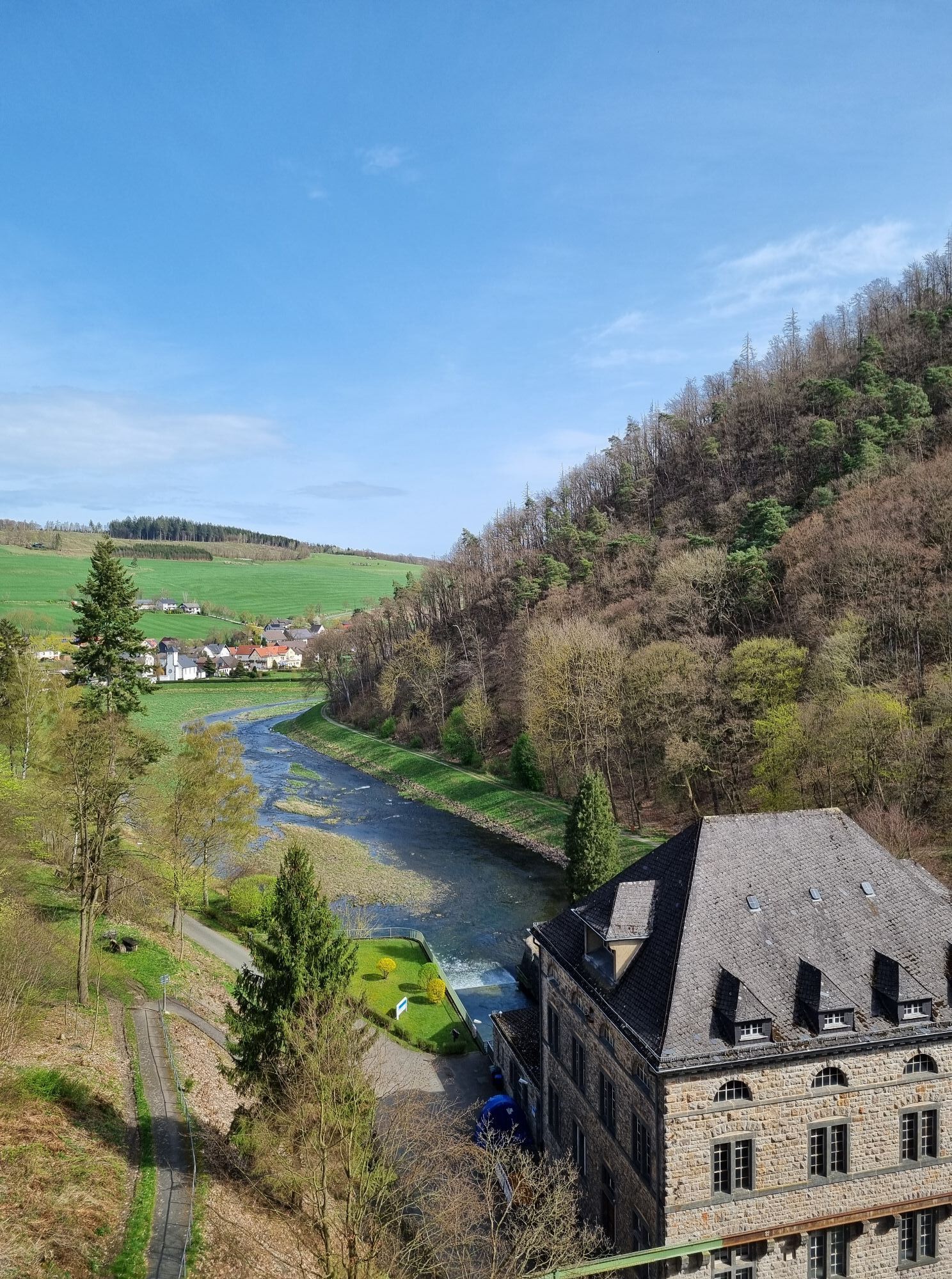
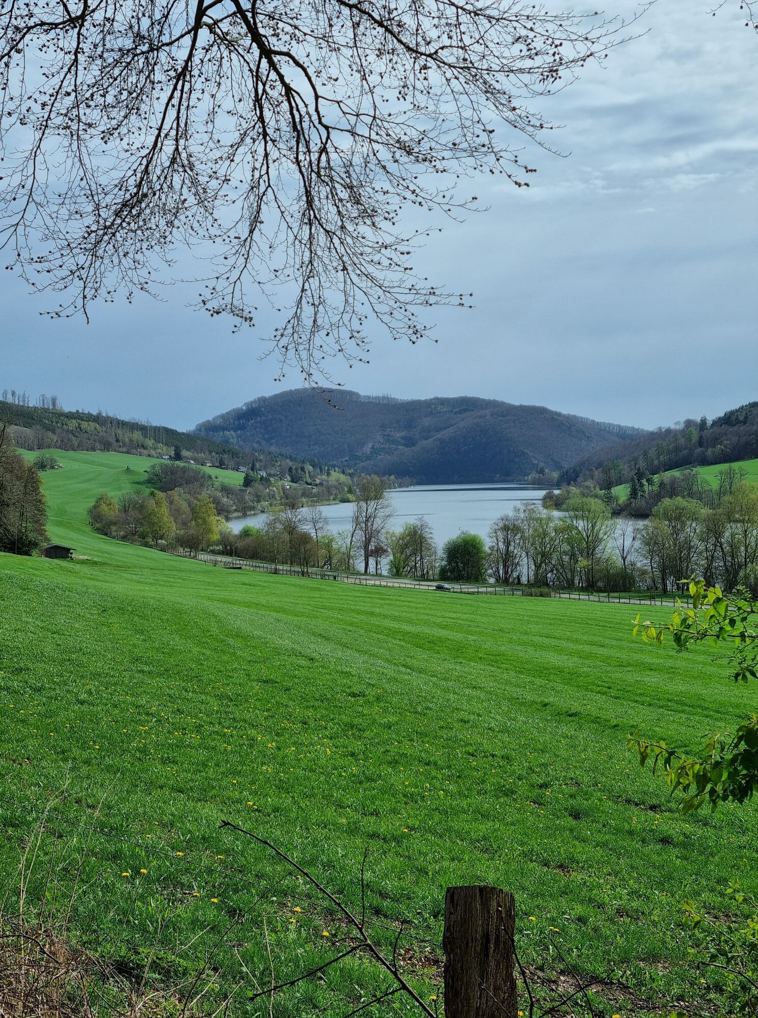
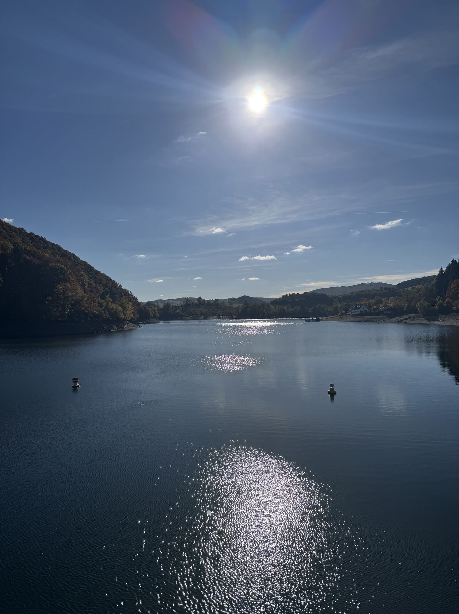
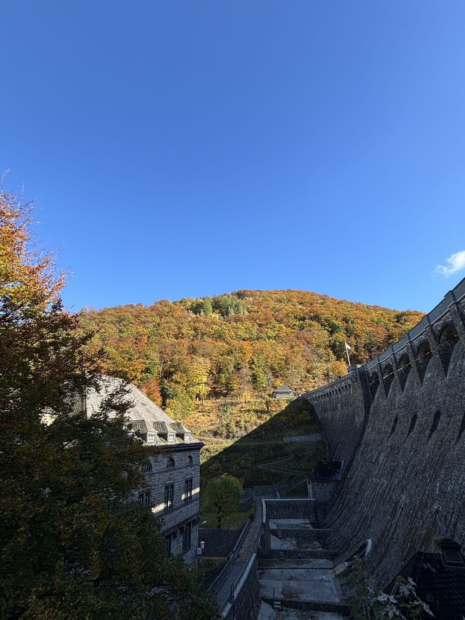
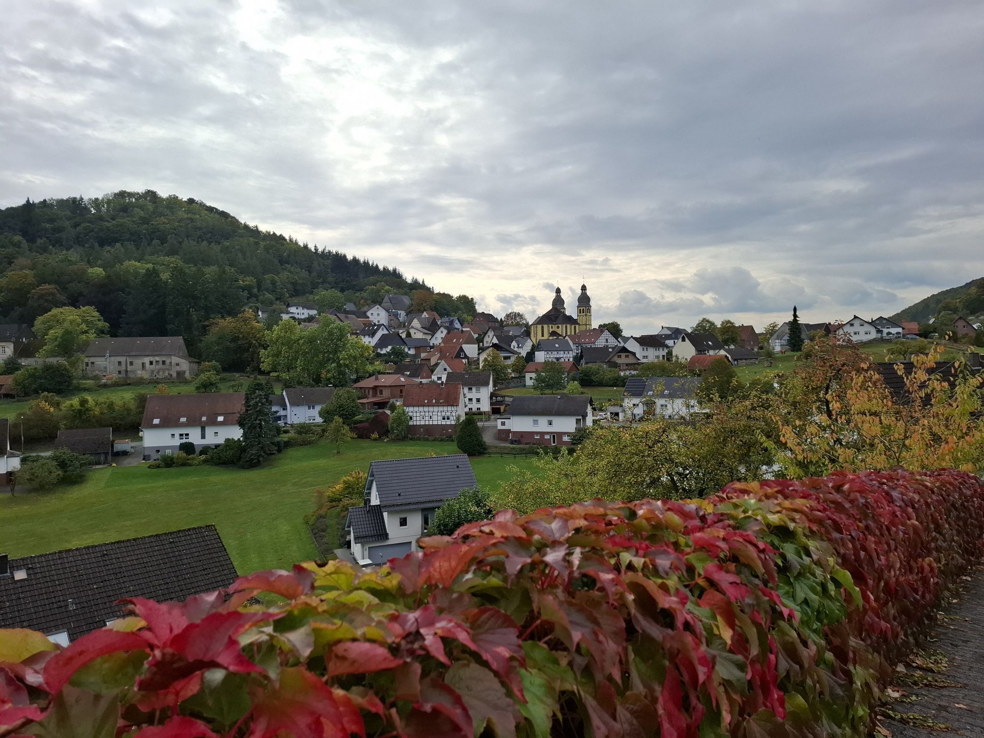
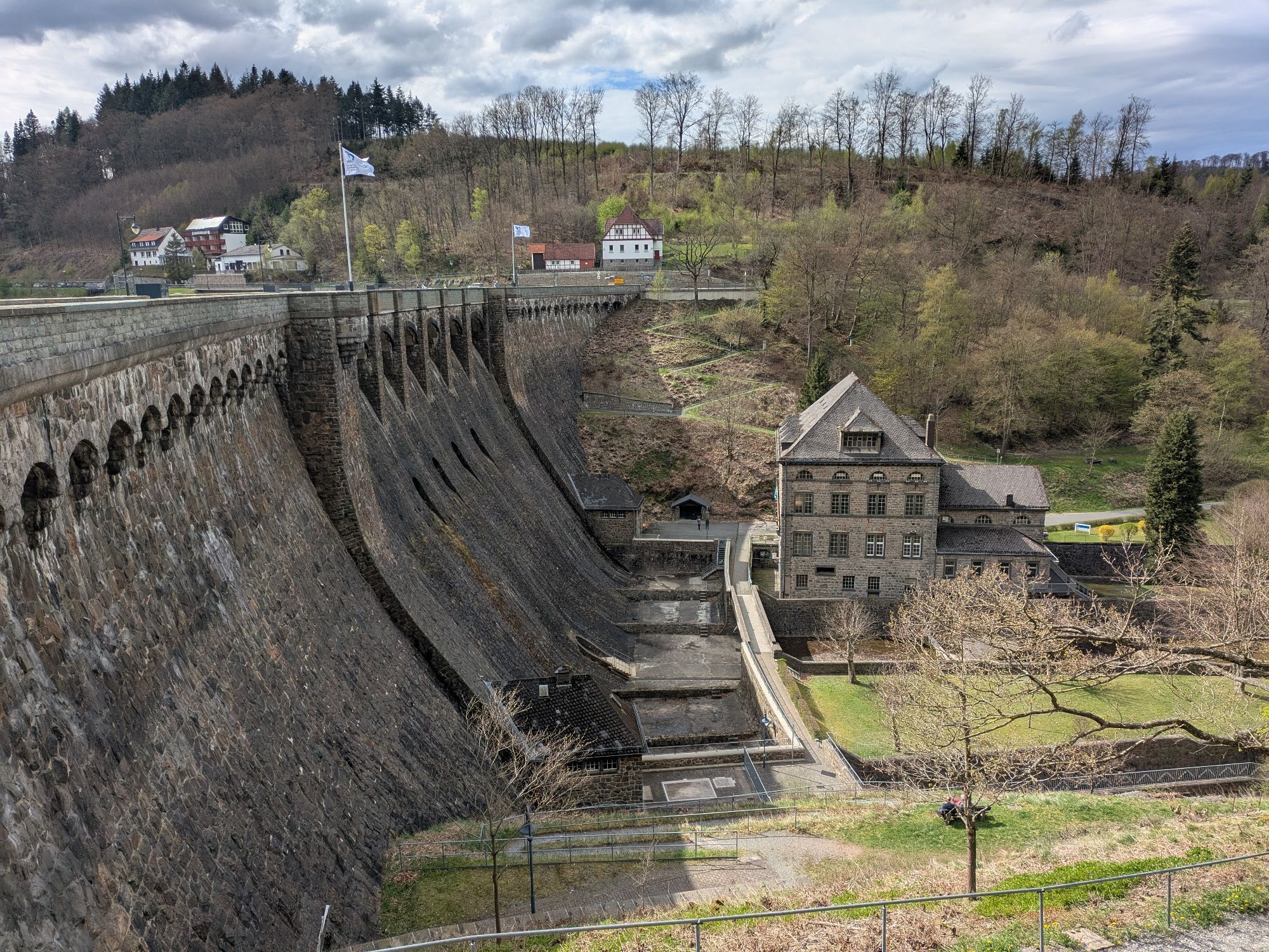
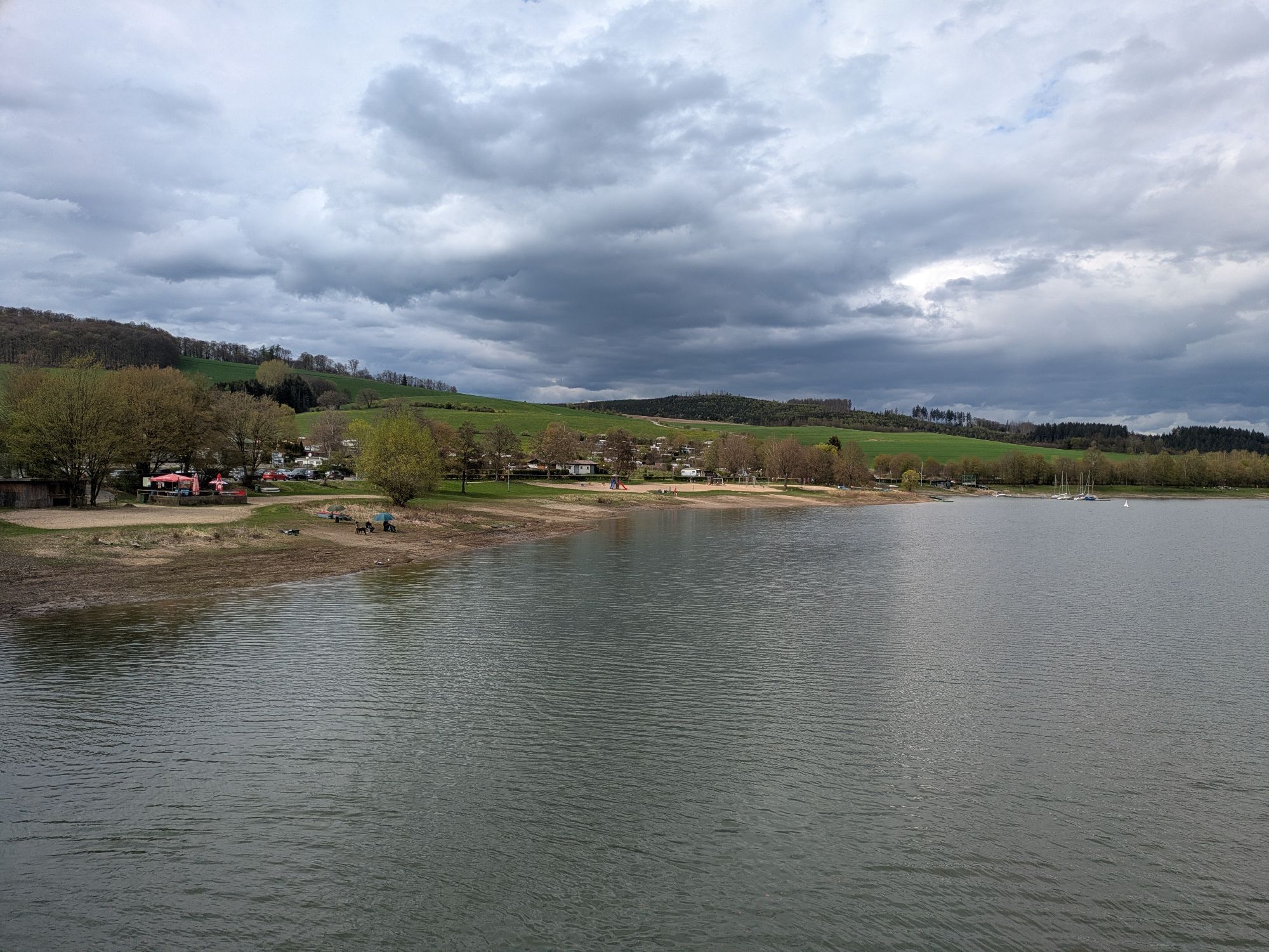
After starting in Willingen, the route leads with rolling hills over Usseln and Rattlar to the Diemelsee. Then via Padberg, Adorf, and Giershagen further to Marsberg. After Fürstenberg, road cyclists encounter the second lake of the route: the Aabach dam. The route continues over the Brilon plateau, past the airfield of Brilon Airport, to Hoppecke. After a 13% descent, an alpine-like 2.5 km long ascent to Buttenberg follows. From there, it descends rapidly towards Bontkirchen, where halfway down a magnificent view over Diemelsee opens up.
Ano
Wearing a bicycle helmet should be a matter of course for all cyclists. Check before the ride that your bike is in perfect condition. For demanding routes, we recommend packing plenty of drinks and snacks.
A rescue point system is installed throughout the region (Soest district, Hochsauerland district, Märkischer district, Olpe district, and Siegen-Wittgenstein district). Rescue points can be found, among other places, on the information boards at the junctions of the South Westphalia cycling network.
Tourist Information Willingen,
From Bremen/Münster: A1 to Dortmund/Unna - A44 to Werl junction - A445/A46 to the end of the highway Bestwig - B7 towards Brilon - after Nuttlar L 743 to Olsberg/Elleringhausen - B251 to Willingen
From Hamburg/Hannover: A2 to Bielefeld, A33 towards Paderborn to the end of the highway - B480 to Brilon - B251 to Willingen
From Frankfurt: A 5 to Gießen-Südkreuz - Gießen ring to Marburg - Frankenberg - Korbach - B251 to Willingen From Munich/Würzburg: A 7 towards Kassel - A 44 to Zierenberg exit - B251 Korbach - Willingen
From Dortmund: A44 to Werl junction - A445/A46 to the end of the highway Bestwig - B7 towards Brilon - after Nuttlar L 743 to Olsberg/Elleringhausen - B251 to Willingen From Kassel: A 44 to Zierenberg exit - B251 Korbach - Willingen
You can conveniently reach both Willingen and the district of Usseln by train. Willingen (Upland) train station Intercity/ICE stations: Dortmund, Hagen, Marburg, Warburg, Kassel-Wilhelmshöhe. Current schedules and tickets are available on the Deutsche Bahn website.
In Willingen, you will find sufficient parking facilities.
Webové kamery z prohlídky
-
Talstation Ettelsberg-Seilbahn
-
Talstation Ettelsberg-Seilbahn
-
Talstation Ettelsberg-Seilbahn
-
Talstation Ettelsberg-Seilbahn
-
Kurhotel Hochsauerland 2010
-
Kurhotel Hochsauerland 2010
-
Kurhotel Hochsauerland 2010
-
Kurhotel Hochsauerland 2010
-
Diemelsee
-
Sternrodt Skilift
-
Hochheideturm - Ettelsberg
-
Diemelsee – Heringhausen – Strandbad mit Seepromenade
-
Skywalk
-
Skywalk
-
Skywalk
-
Skywalk
-
Skywalk
-
Stern Hotel Sauerland
-
Schwalefeld - Cafe Fernblick
-
Ettelsberg
-
Sonnenhang
-
Talstation Ettelsberg Seilbahn
-
Ettelsberg Seilbahn Bergstation/ Hochheideturm
-
Sesselbahn Ritzhagen Berg
-
Piste Ritzhagen
-
Mountainbike-Strecke K1
-
K1 Gipfelkreuz
-
Bikepark (Sommer) / Skipiste an K1-Hütte (Winter)
-
Spielplatz, Bergsee, K1-Gipfel
-
Spielplatz am Hochheideturm
-
Ettelsbergplateau
-
Ettelsberghütte
-
Bergstation Ritzhagen
-
Skipiste Ritzhagen

Oblíbené prohlídky v okolí
-
4.8
Rundwanderung Diemelsee
světloTuristika 8.54 km -
Diemelsee Runde
středníTuristika 12.0 km -
5.0
Auen-Radweg
středníJízda na kole 44.6 km -
Beringhauser Aussichten
středníTuristika 8.34 km -
Fünf-Bäche-Weg
středníTuristika 25.6 km -
Legend and Story Trail Obermarsberg
středníTuristika 2.63 km -
GeoTrail Marsberg
středníTuristika 6.16 km -
Berg und Tal Helminghausen HL2
středníTuristika 8.05 km -
Diemelradweg *****
středníJízda na kole 110.0 km -
Glashütten Weg
středníTuristika 22.9 km
Pěší turistika a stopování


Nenechte si ujít nabídky a inspiraci pro vaši příští dovolenou
Vaše e-mailová adresa byl přidán do poštovního seznamu.





