


Three-lake route


Willingen - Usseln - Bömighausen - Alleringhausen - Goldhausen - Nordenbeck - Dorfitter - Obernburg - Vöhl - Niederwerbe - Waldeck - Netze - Freienhagen - Wetterburg - Bad Arolsen - Massenhausen - Vasbeck...
Willingen - Usseln - Bömighausen - Alleringhausen - Goldhausen - Nordenbeck - Dorfitter - Obernburg - Vöhl - Niederwerbe - Waldeck - Netze - Freienhagen - Wetterburg - Bad Arolsen - Massenhausen - Vasbeck - Adorf - Heringhausen - Bontkirchen - Willingen.

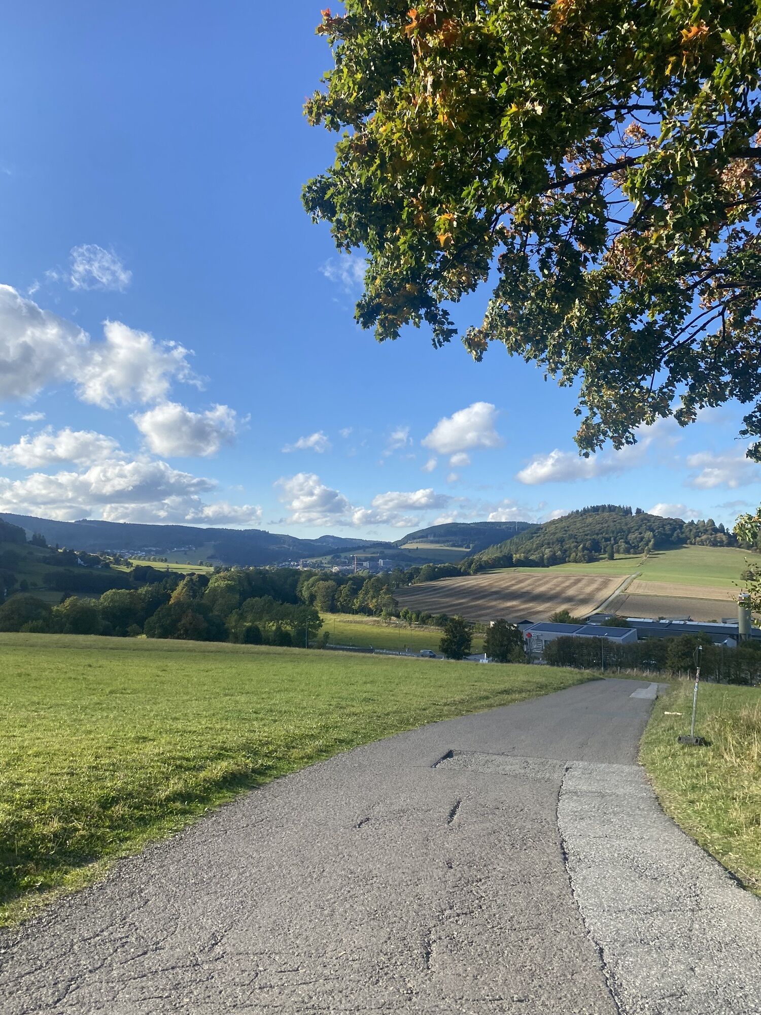
We start from Willingen heading towards Korbach. After Usseln, we coast about 15 km downhill towards Bömighausen. In the Willingen district of Bömighausen, we leave the federal road and ride through the valley just before Eppe.
Then follows the first climb up to the village of Goldhausen. As the name suggests, gold was previously mined here. From there we have a fast descent down to Nordenbeck. Several district roads lead us to Dorfitter, where we have to cycle a short stretch on the federal road towards Frankenberg.
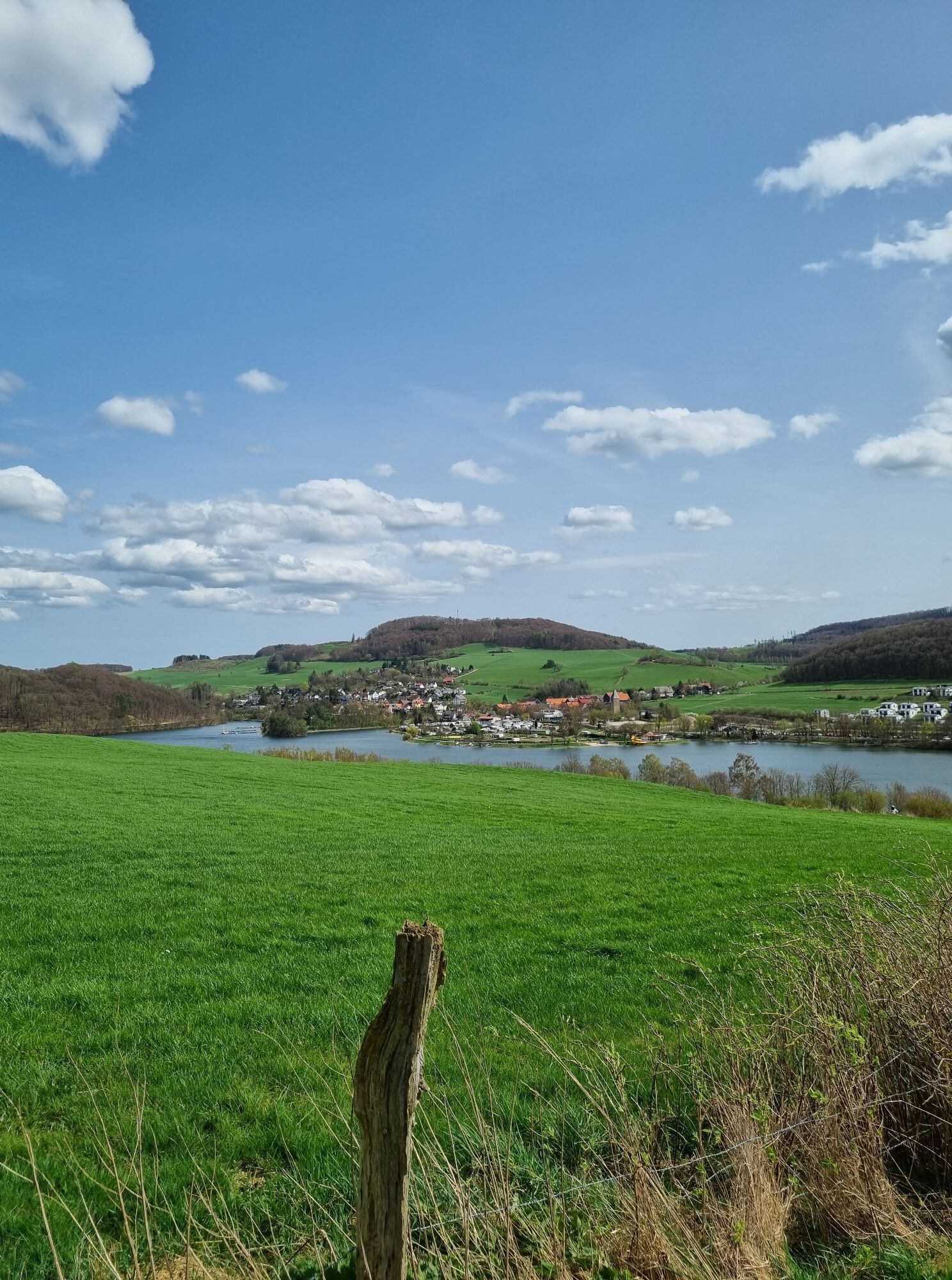
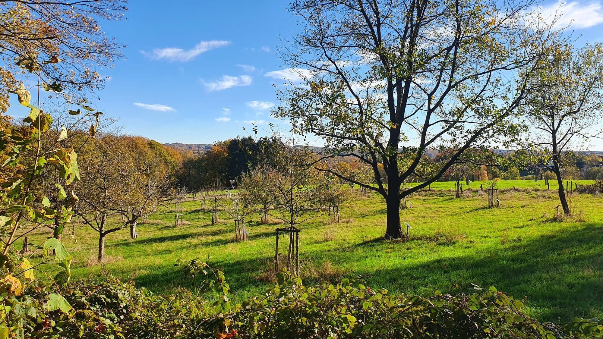
Shortly after a level crossing, a beautiful serpentine path leads up to Obernburg, past an old estate - Hof Lauterbach - and then through the typical landscapes of the Waldeck region to the Edersee.
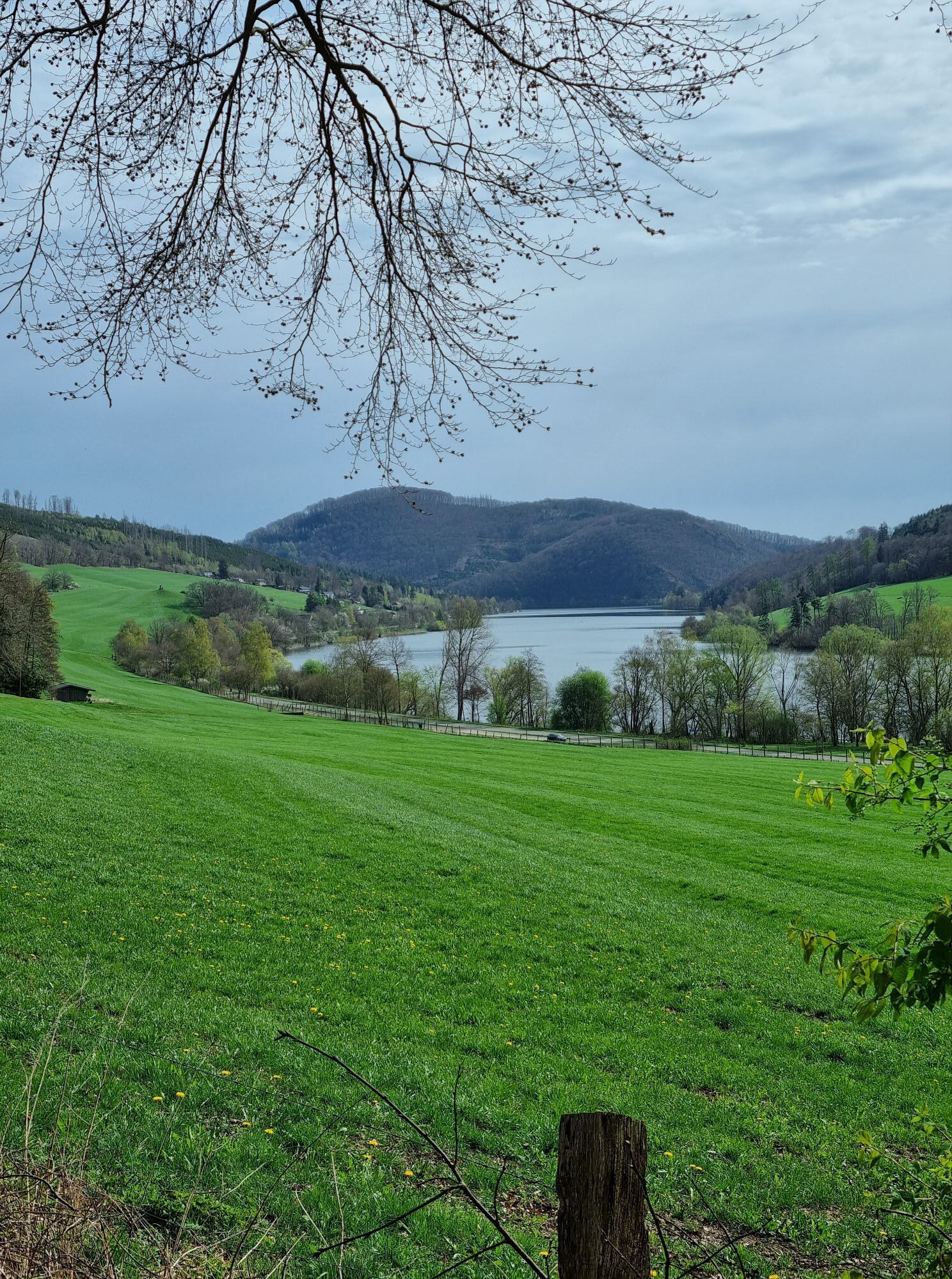
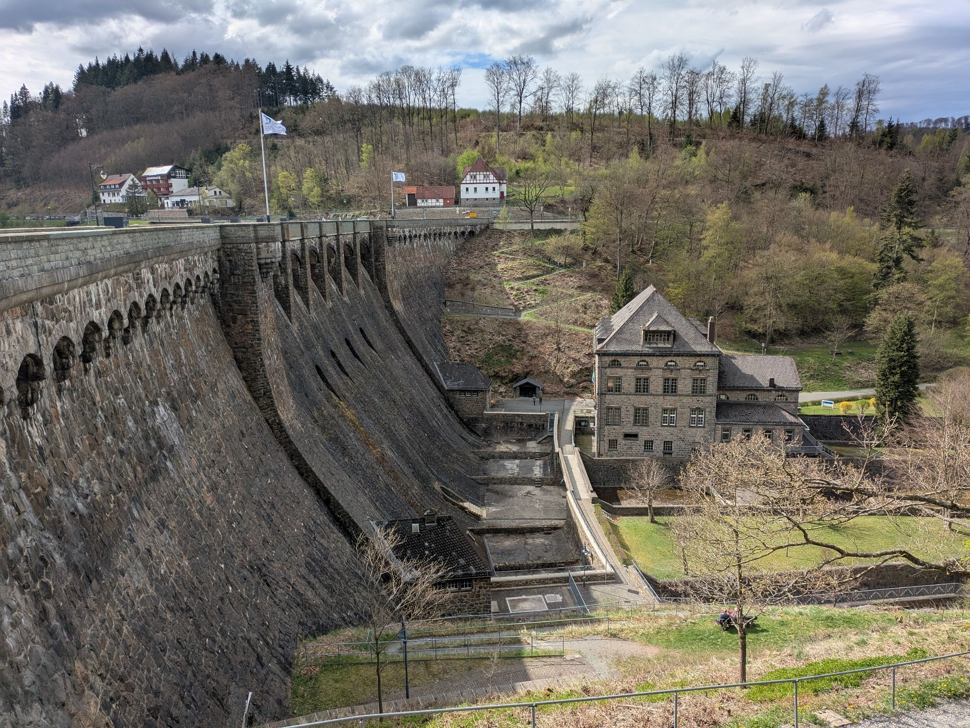
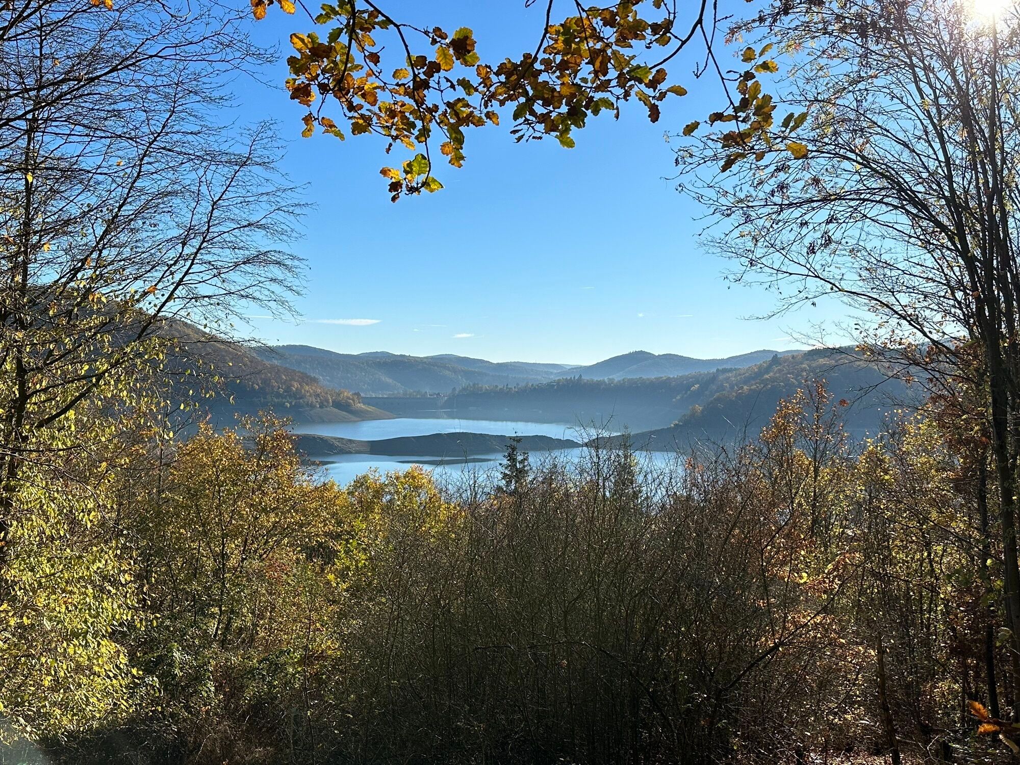
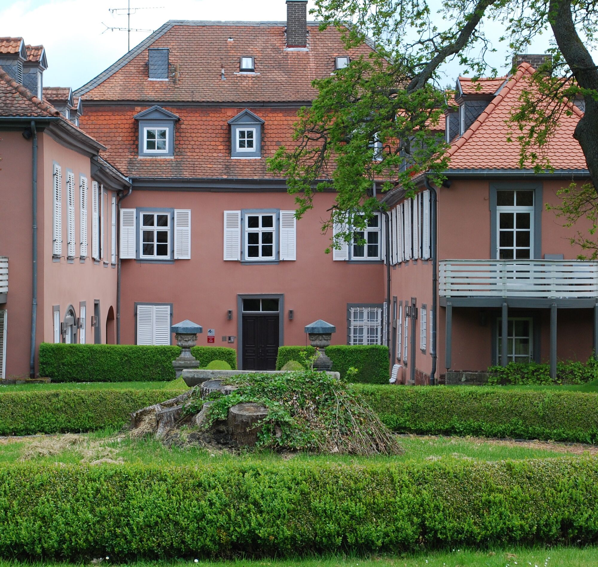
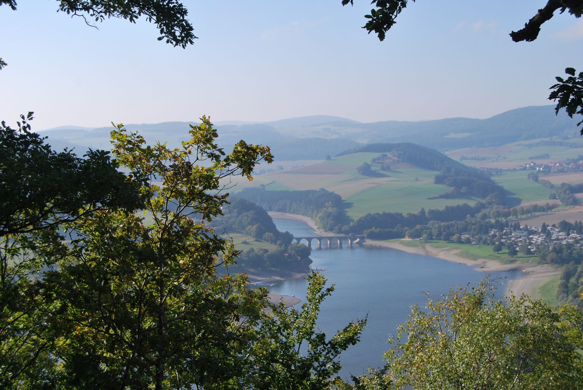
The Edersee is one of Germany's largest reservoirs with a winding lakeside road. From here it goes very steeply uphill to the town of Waldeck with its castle.
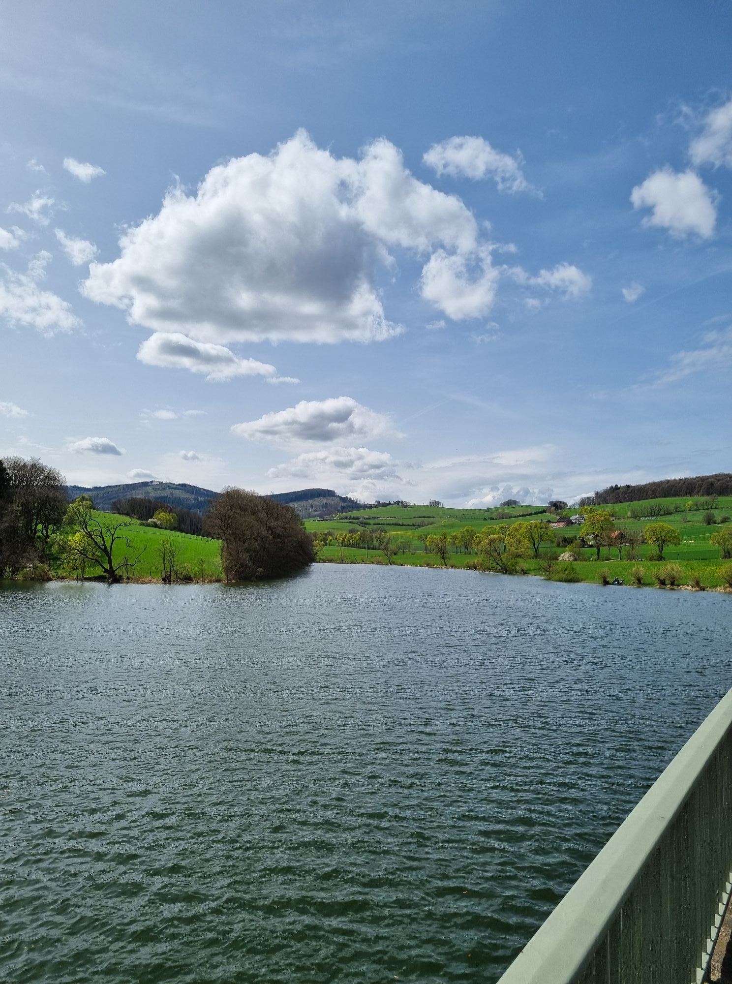
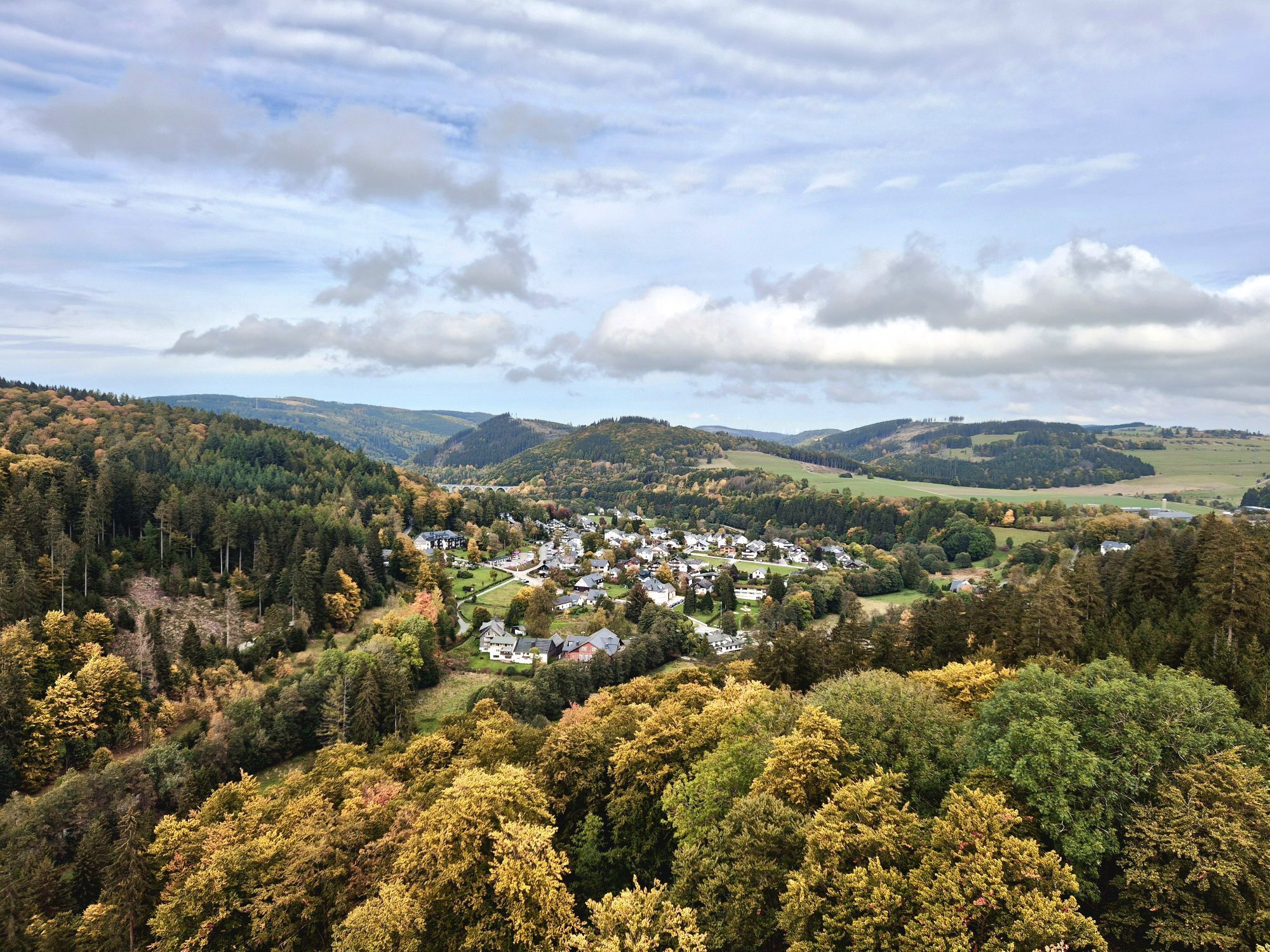
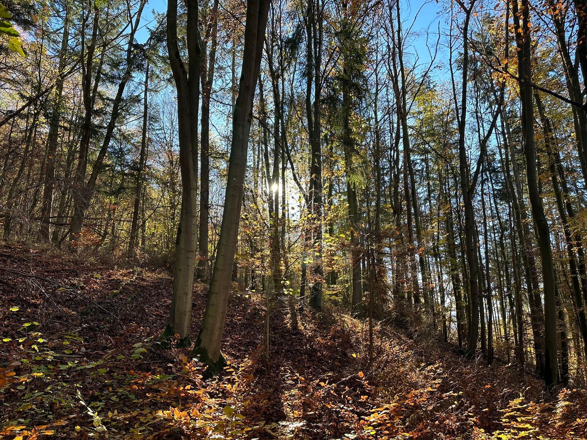
The first lake is done and we ride fairly flat via Freienhagen through a deciduous forest to Landau. The Twistesee area begins. We cross the Twistesee and head to Wetter.
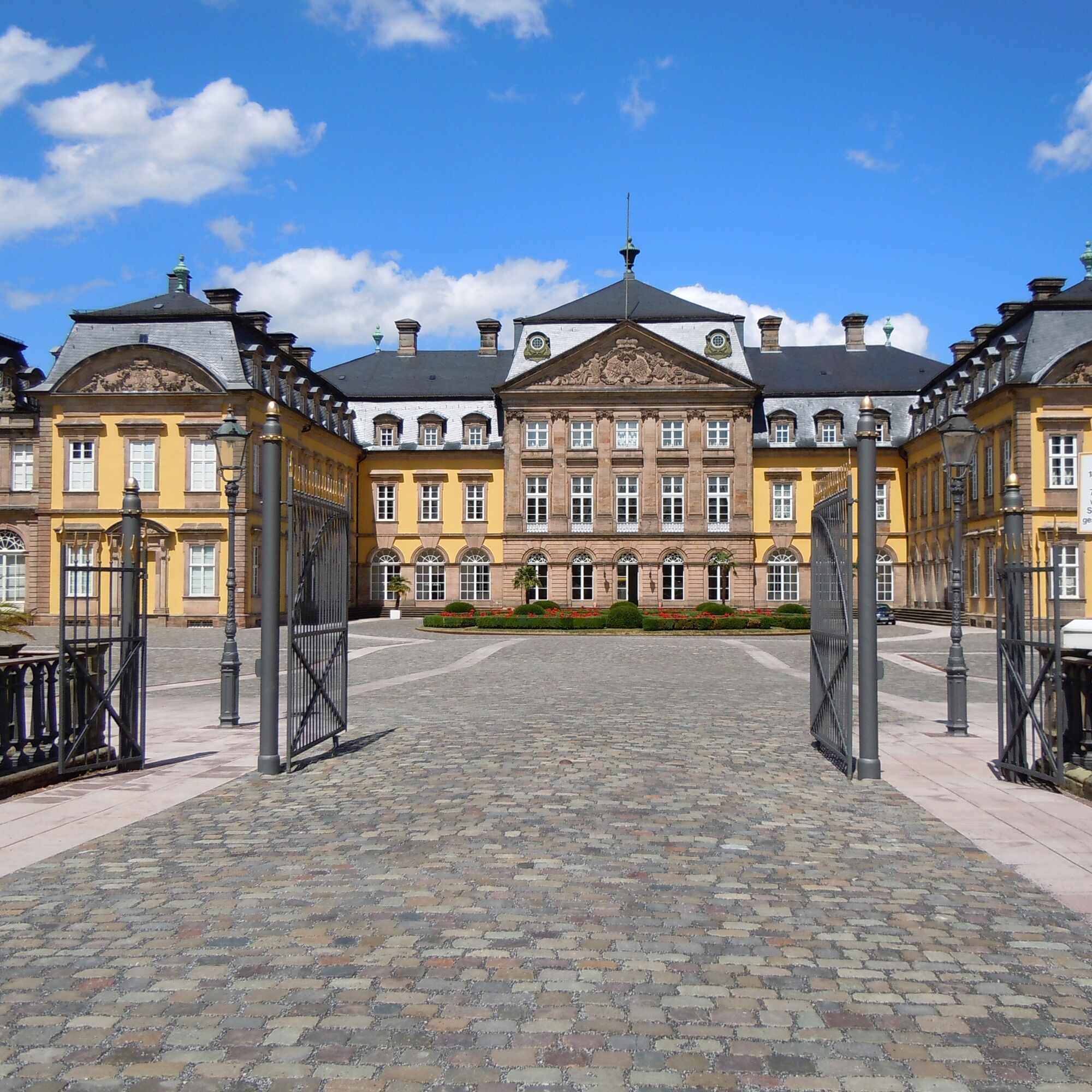
From now on, more hills await. It goes up to Bad Arolsen, where there is also a castle (a replica of the Palace of Versailles), then further up to Massenhausen. After Adorf, some relaxation is called for.
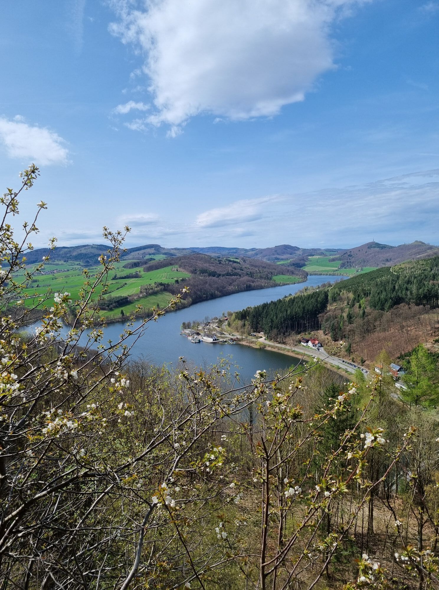
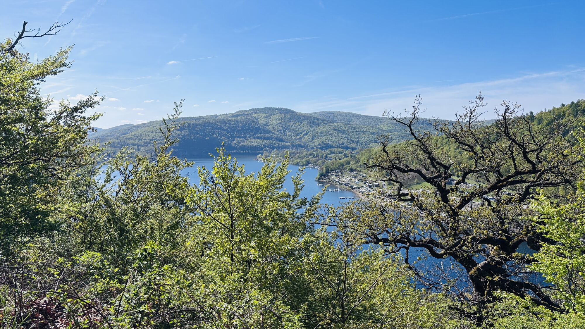
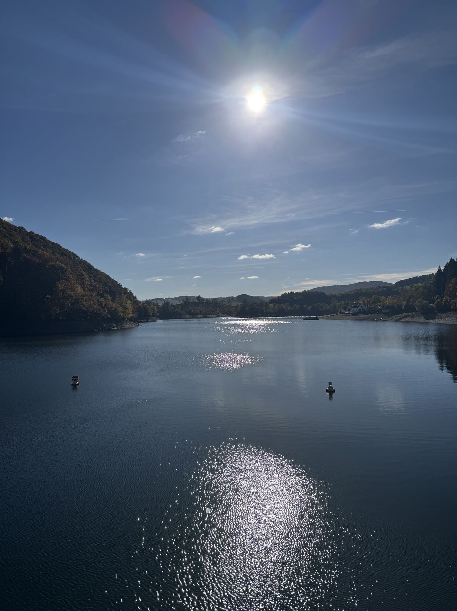
Then it goes over the mountain to the lake: the Diemelsee, the second largest lake of our lake route. We circle it on the lakeside road, which is narrowed by rocks - similar to the Gardasee lakeside road. We cycle over the dam, then only slight uphill remains until the finish in Willingen.
Functional, weather-appropriate cycling clothing, backpack provisions, sufficient fluids (water, tea), a pump, puncture repair kit and multitool are recommended.
By car via the B251 to Willingen (Upland)
Bus or train to Willingen station
Free parking at Willingen station
Webové kamery z prohlídky
Talstation Ettelsberg-Seilbahn
Talstation Ettelsberg-Seilbahn
Talstation Ettelsberg-Seilbahn
Talstation Ettelsberg-Seilbahn
Talstation Ettelsberg-Seilbahn
Kurhotel Hochsauerland 2010
Kurhotel Hochsauerland 2010
Kurhotel Hochsauerland 2010
Kurhotel Hochsauerland 2010
Diemelsee
Sternrodt Skilift
Waldeck - Hotel Schloss Waldeck
Hochheideturm - Ettelsberg
Korbach
Diemelsee – Heringhausen – Strandbad mit Seepromenade
Edertalsperre
Edertalsperre
Edertalsperre
Bringhausen - Edersee
Campingplatz Bettenhage
Skywalk
Skywalk
Skywalk
Skywalk
Skywalk
Schwalefeld - Cafe Fernblick
Willinger Brauhaus
Ettelsberg
Peterskopf / Region Edersee
Rehbach / Edersee / Region Edersee
Talstation Ettelsberg Seilbahn
Ettelsberg Seilbahn Bergstation/ Hochheideturm
Sesselbahn Ritzhagen Berg
Piste Ritzhagen
Mountainbike-Strecke K1
K1 Gipfelkreuz
Bikepark (Sommer) / Skipiste an K1-Hütte (Winter)
Spielplatz, Bergsee, K1-Gipfel
Spielplatz am Hochheideturm
Ettelsbergplateau
Oblíbené prohlídky v okolí
- 4,8
Rundwanderung Diemelsee
světloTuristika 8,54 km - 4,0
Goldspur Eimelrod (Quality route)
středníTematická stezka 8,08 km - 5,0
Edersee / Camping Teichmann kleine schöne Runde
světloTuristika 6,47 km Diemelsee Runde
středníTuristika 12,0 km- 3,0
Geological Circular Route Medebach-Düdinghausen
středníTuristika 6,94 km Beringhauser Aussichten
středníTuristika 8,34 kmTrekkingpark Sauerland
heavydálková pěší trasa 124,3 kmOpen Mind Places - Stations to pause
středníTematická stezka 7,19 kmWillingen-Bömighausen (B2)
středníTuristika 7,37 kmVolcano Path Welleringhausen (quality route)
světloTematická stezka 6,75 km

Pěší turistika a stopování


Nenechte si ujít nabídky a inspiraci pro vaši příští dovolenou
Vaše e-mailová adresa byl přidán do poštovního seznamu.