


High Plateau Round
Fotografie našich uživatelů
-
 © Patrick DuboisVytvořeno dne 01.10.2025
 -
 © Patrick DuboisVytvořeno dne 01.10.2025
 -
 © Patrick DuboisVytvořeno dne 01.10.2025
 -
 © Patrick DuboisVytvořeno dne 01.10.2025
 -
 © Patrick DuboisVytvořeno dne 01.10.2025
 -
 © alpinfotoVytvořeno dne 13.08.2025
 -
 © alpinfotoVytvořeno dne 13.08.2025
 -
 © alpinfotoVytvořeno dne 13.08.2025
 -

 © lotharkoernerVytvořeno dne 19.05.2023
 -
 © lotharkoernerVytvořeno dne 19.05.2023
 -
 © lotharkoernerVytvořeno dne 02.10.2022
 -
 © Markus WollnyVytvořeno dne 01.03.2026
 -
 © Frau R.Vytvořeno dne 15.02.2026
 -
 © Markus WollnyVytvořeno dne 15.02.2026
 -
 © Markus WollnyVytvořeno dne 15.02.2026
 -
 © Markus WollnyVytvořeno dne 15.02.2026
 -
 © Ben MatlockVytvořeno dne 30.01.2026
 -
 © der heilige geistVytvořeno dne 25.12.2025
 -
 © der heilige geistVytvořeno dne 25.12.2025
 -
 © Reiner HennemuthVytvořeno dne 07.11.2025
 -
 © MildeVytvořeno dne 19.09.2025
 -
 © MildeVytvořeno dne 19.09.2025
 -
 © SandyVytvořeno dne 18.09.2025
 -

 © Sven Meske 1Vytvořeno dne 14.09.2025
 -

 © Pepijn ter BalsVytvořeno dne 24.07.2025
 -
 © Pepijn ter BalsVytvořeno dne 24.07.2025
 -
 © Matje DerksVytvořeno dne 24.06.2025
 -
 © Katti SchulteVytvořeno dne 06.04.2025
 -
 © Volker WagenerVytvořeno dne 27.03.2025
 -
 © Michael GanswindVytvořeno dne 08.03.2025
 -
 © Michael GanswindVytvořeno dne 08.03.2025
 -
 © Michael GanswindVytvořeno dne 08.03.2025
 -
 © Michael GanswindVytvořeno dne 08.03.2025
 -
 © Michael GanswindVytvořeno dne 08.03.2025
 -
 © Michael GanswindVytvořeno dne 08.03.2025
 -
 © Michael GanswindVytvořeno dne 08.03.2025
 -
 © Michael GanswindVytvořeno dne 08.03.2025
 -
 © Leen DuytschaeversVytvořeno dne 06.08.2024
 -
 © Leen DuytschaeversVytvořeno dne 06.08.2024
 -
 © Georg MeisterjahnVytvořeno dne 25.07.2024
 -
 © Christian SchulzVytvořeno dne 21.05.2020
 -
 © Christian SchulzVytvořeno dne 21.05.2020
 -
 © Christian SchulzVytvořeno dne 21.05.2020
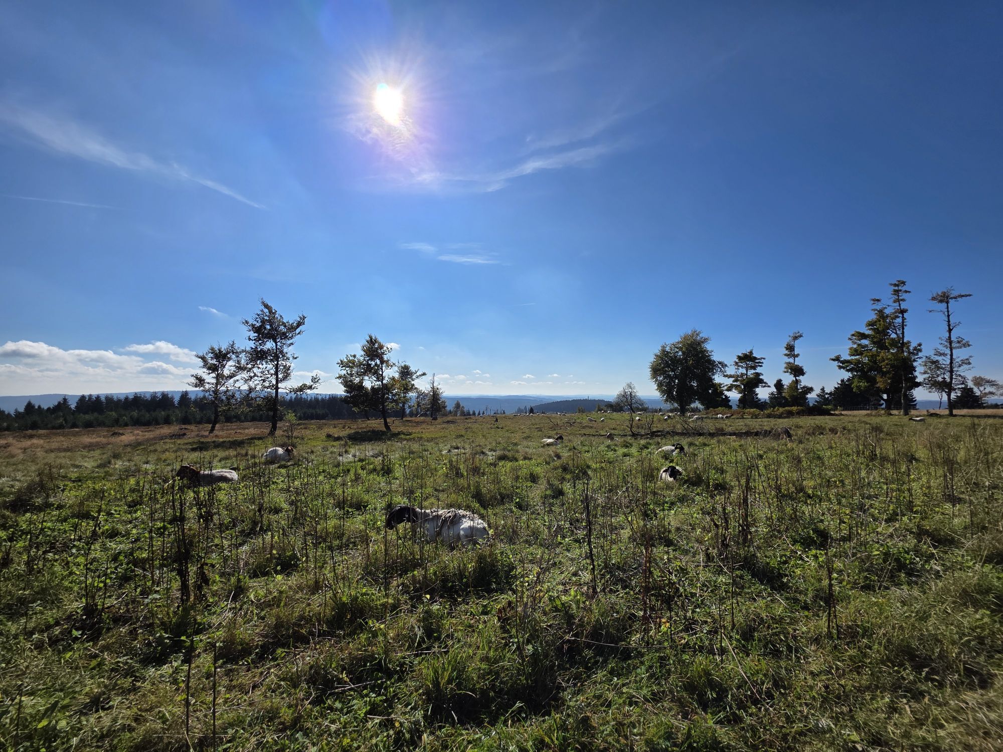


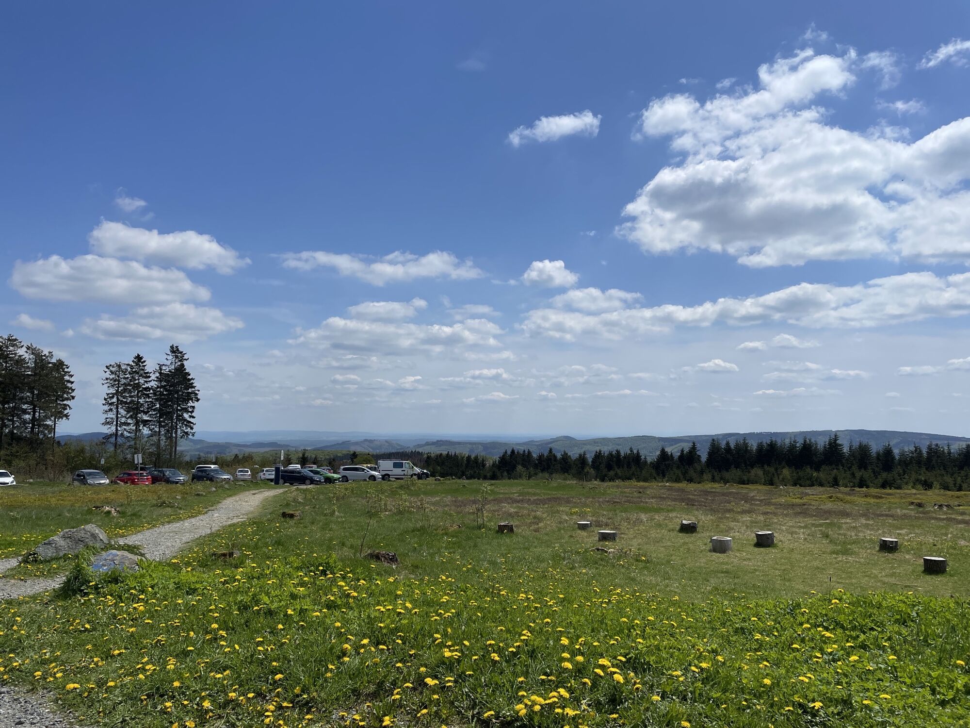


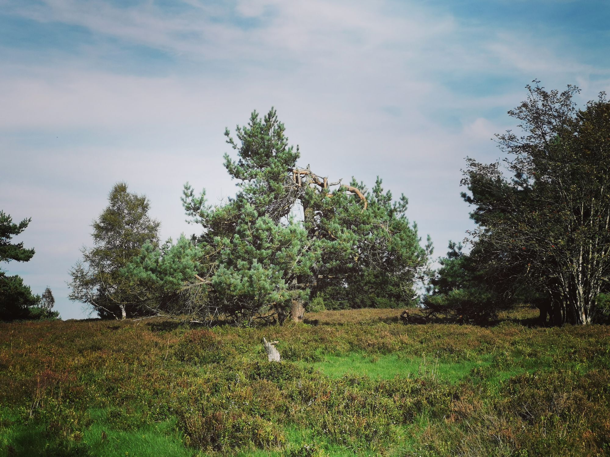
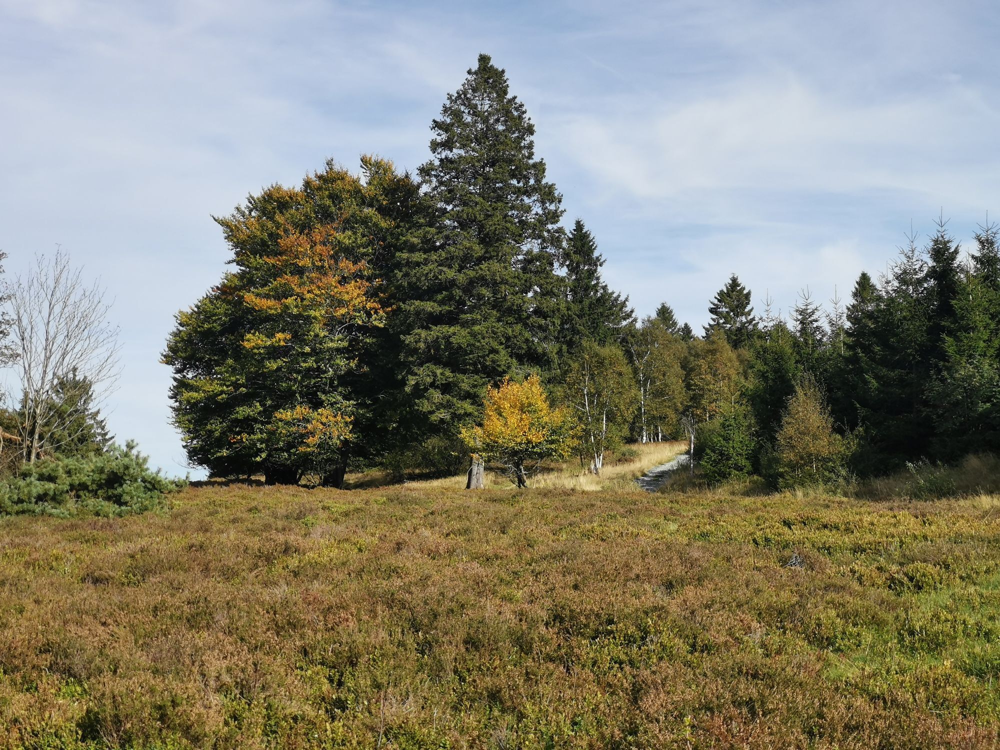
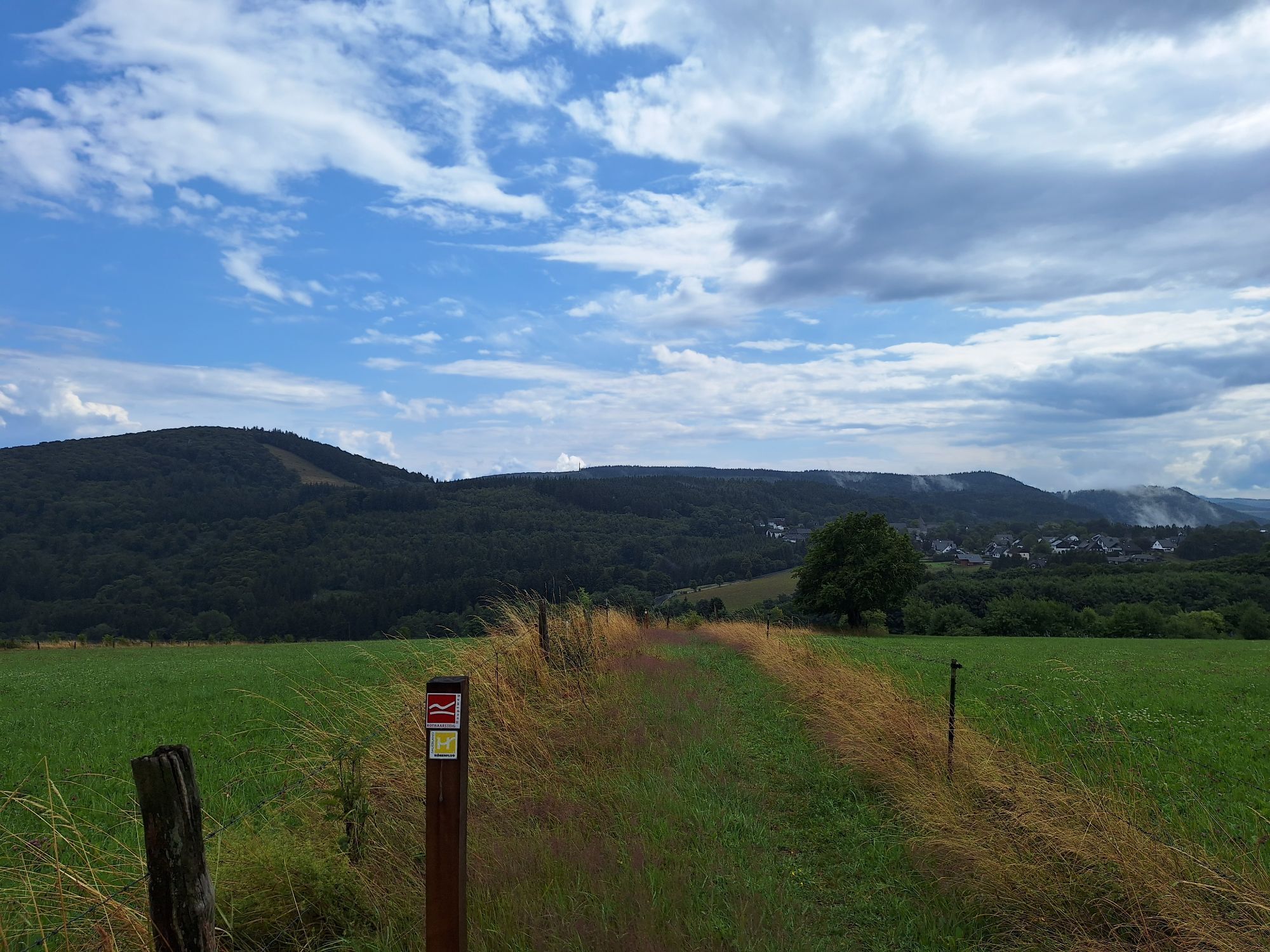
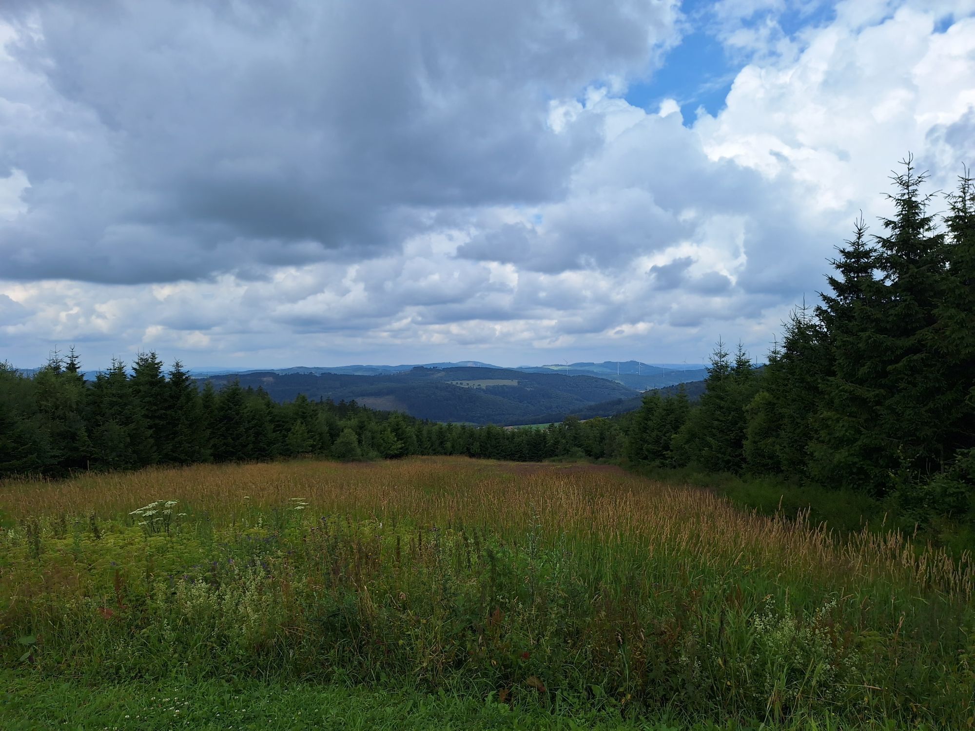

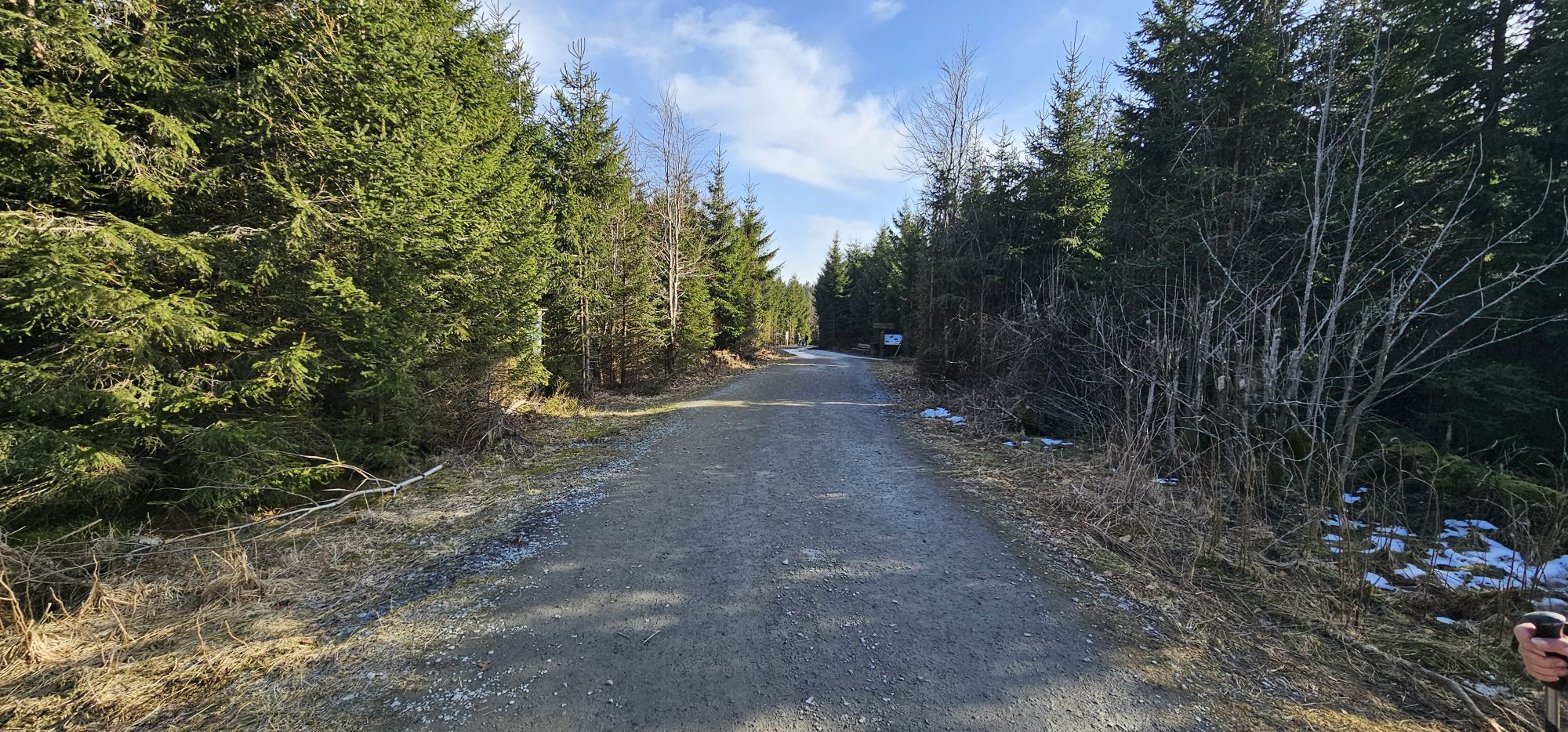

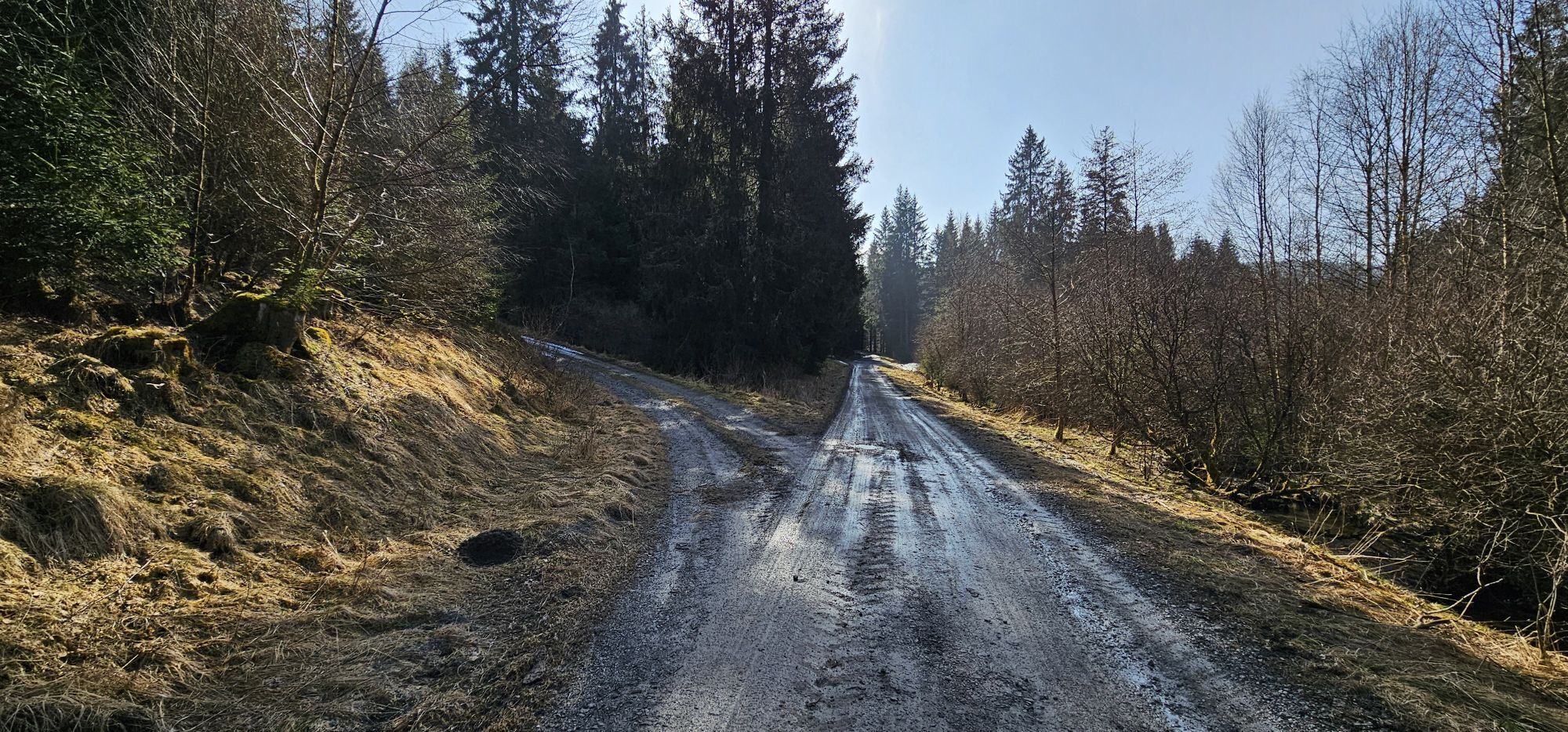


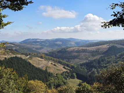
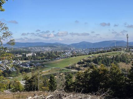
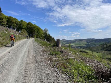
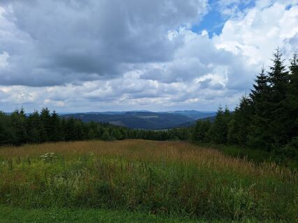
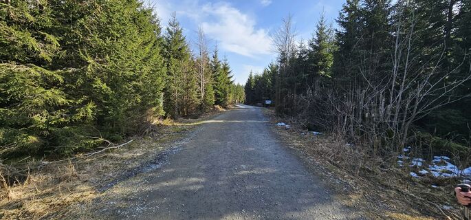
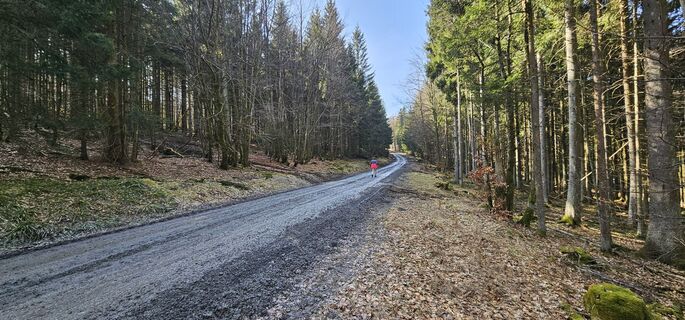
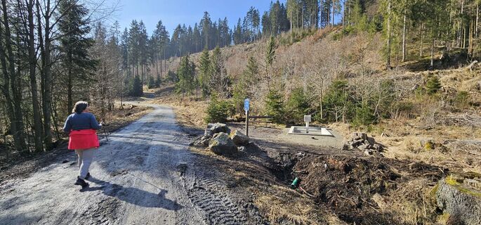
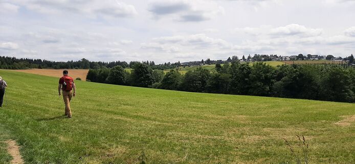
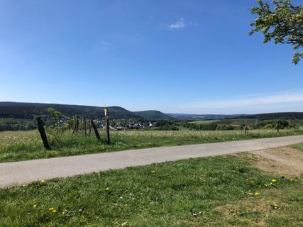
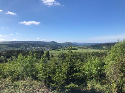
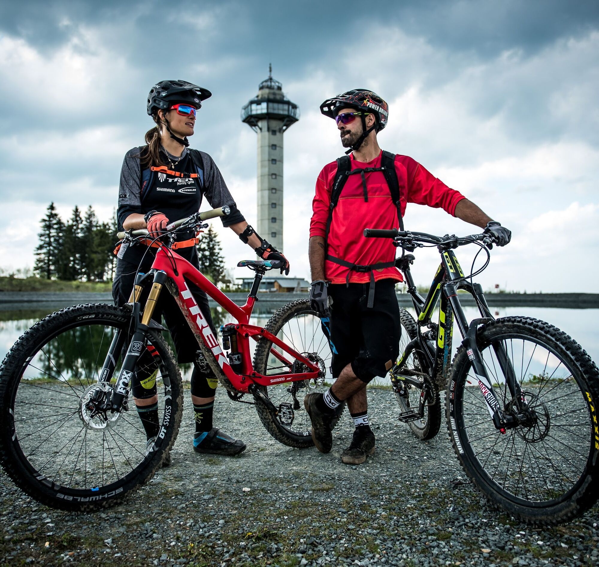
Anyone planning a long route from Willingen heads westward. Deep into the Westphalian Sauerland, over the three unique high plateaus in Sauerland. The trip promises a successful mix of forest roads, forest...
Anyone planning a long route from Willingen heads westward. Deep into the Westphalian Sauerland, over the three unique high plateaus in Sauerland. The trip promises a successful mix of forest roads, forest paths and trails, an appealing combination of dark fir and light-flooded beech forests, as well as extensive highlands with their colorful heather. And at the end of the route, it goes back over the Ettelsberg to Willingen. Here, the route riders have the agony of choice. Forest road, freeride track, maybe still a beer with party music? Or drink courage for the downhill? God forbid, just a joke! It's more sensible to wait a bit with the beer-soaked round. In town below, there are plenty of places to eat after the route. This route appeared in the spring of 2009 in the magazine "bike." The reporters were full of praise and agreed: "This is the highlight in Sauerland."
This route appeared in the magazine "bike" and is not an official route of the Bike Arena Sauerland. For this reason, it is to be seen only as a route suggestion and is neither signposted nor maintained/monitored. Use is at your own risk.

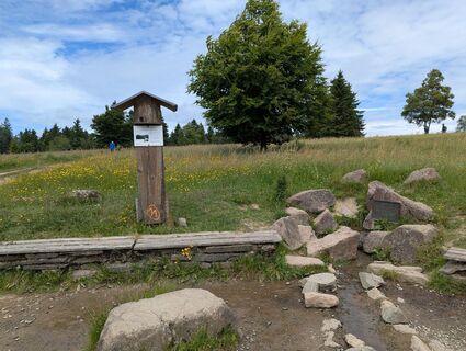
Willingen - Winterberg - Kahler Asten - Altastenberg - Siedlinghausen - Niedersfeld
Ano
Webové kamery z prohlídky
-
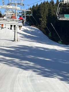
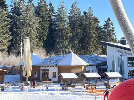
Kapellenhang / Altastenberg
-
Westfalenhang / Altastenberg
-
Altastenberg / Haus Astenblick
-
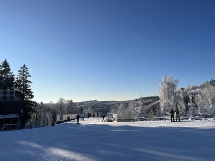
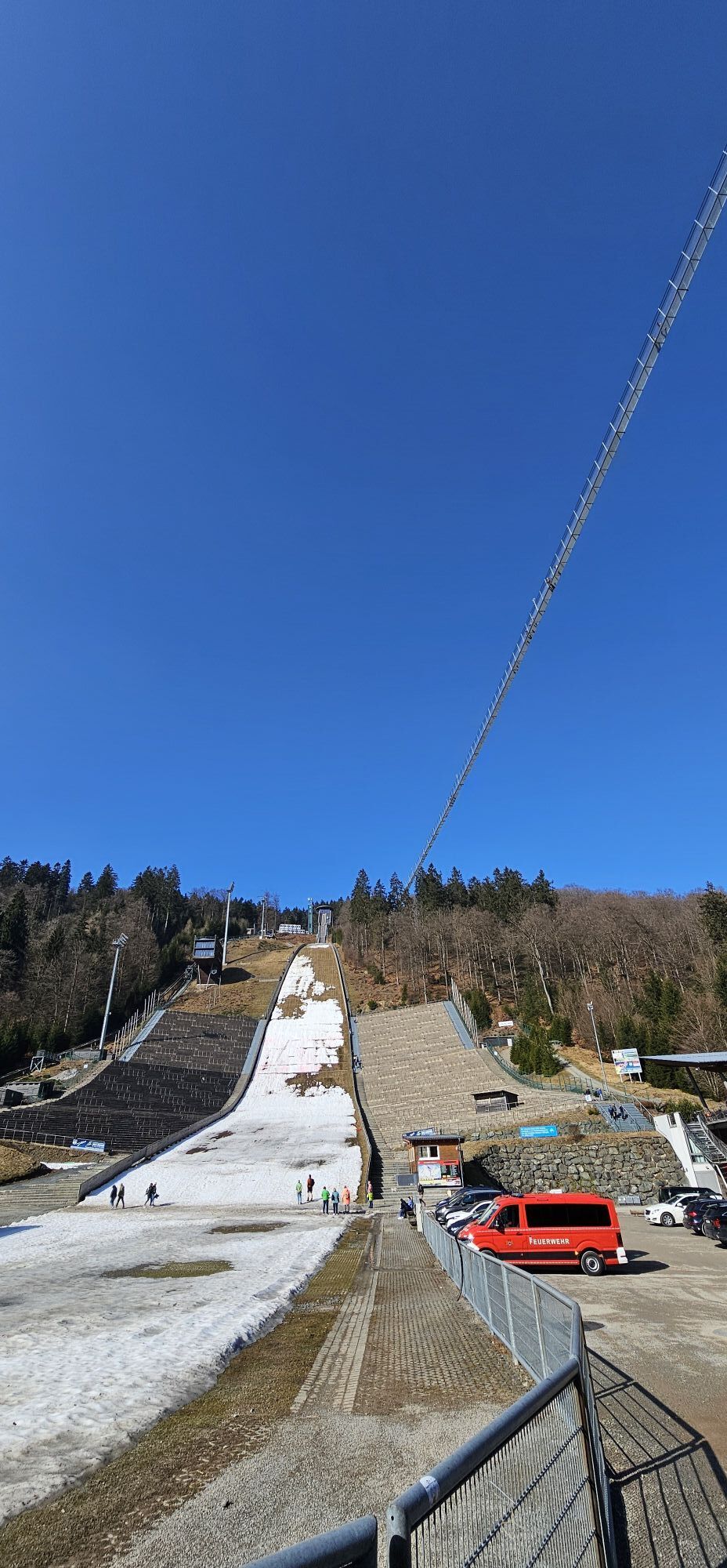
Funpark/Osthang
-
Funpark Tele
-
Sahnehang
-
Talstation Ettelsberg-Seilbahn
-
Talstation Ettelsberg-Seilbahn
-
Talstation Ettelsberg-Seilbahn
-
Talstation Ettelsberg-Seilbahn
-
Talstation Ettelsberg-Seilbahn
-
Brembergkopf
-
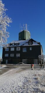
Kurhotel Hochsauerland 2010
-
Kurhotel Hochsauerland 2010
-
Kurhotel Hochsauerland 2010
-
Kurhotel Hochsauerland 2010
-
Brembergkopf
-
Brembergkopf
-
Brembergkopf
-
Brembergkopf
-
Altastenberg
-
Postwiese Neuastenberg
-
Postwiese Neuastenberg
-
Postwiese Neuastenberg
-
Postwiese Neuastenberg
-
Postwiese Neuastenberg
-
Postwiese Neuastenberg
-
Sternrodt Skilift
-
Bödefeld Hunaulift
-
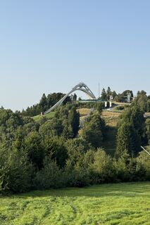
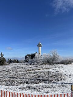
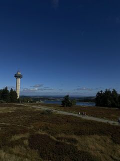
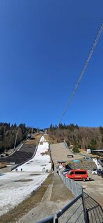
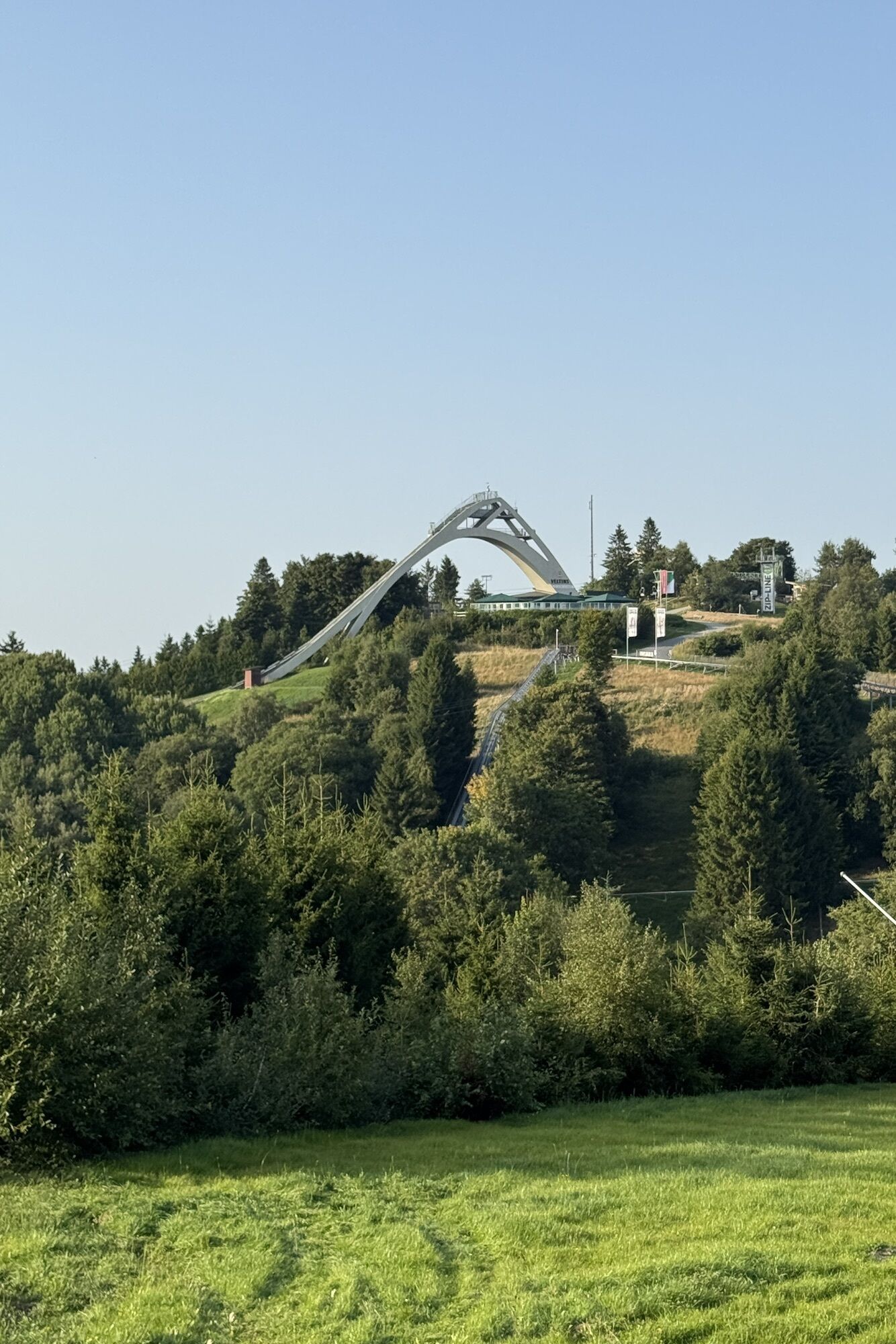
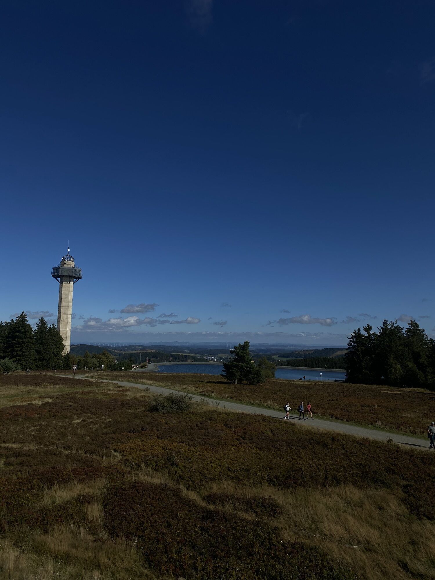
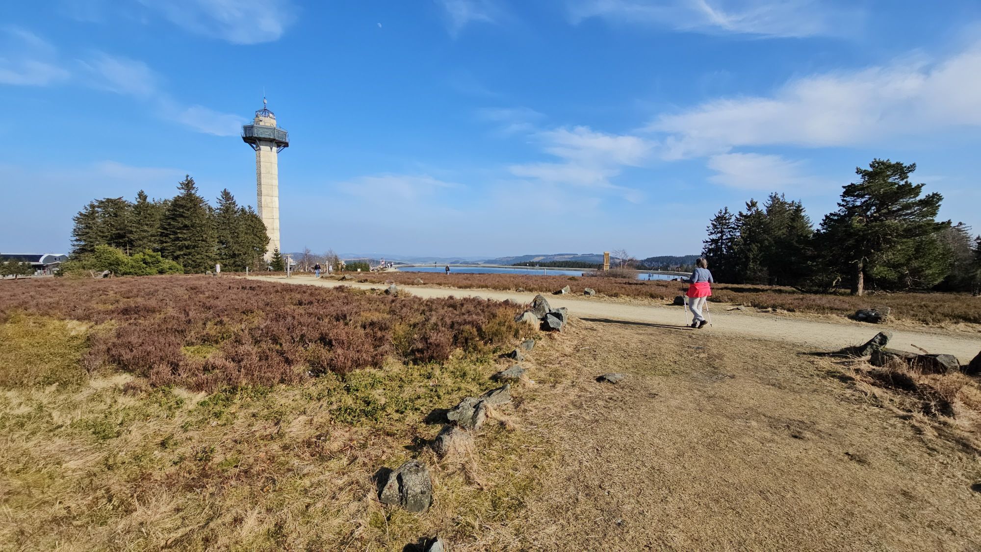
Hochheideturm - Ettelsberg
-
Skilanglaufzentrum Hochsauerland
-
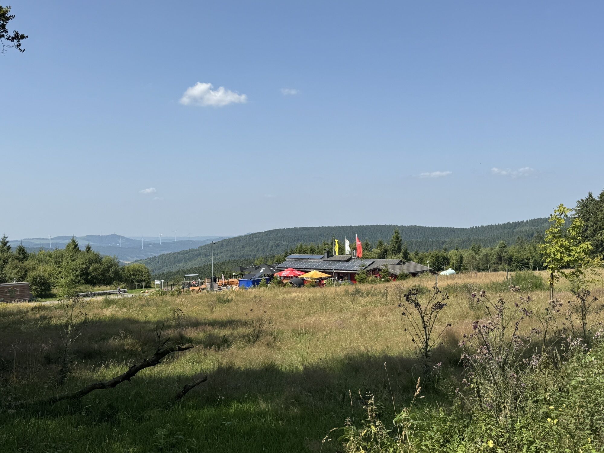
Schlossberg Alm
-
Erlebnisberg Kappe
-
Erlebnisberg Kappe
-
Erlebnisberg Kappe
-
Erlebnisberg Kappe
-
Erlebnisberg Kappe
-
Erlebnisberg Kappe
-
Erlebnisberg Kappe
-
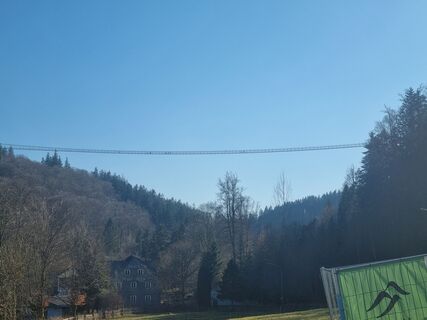
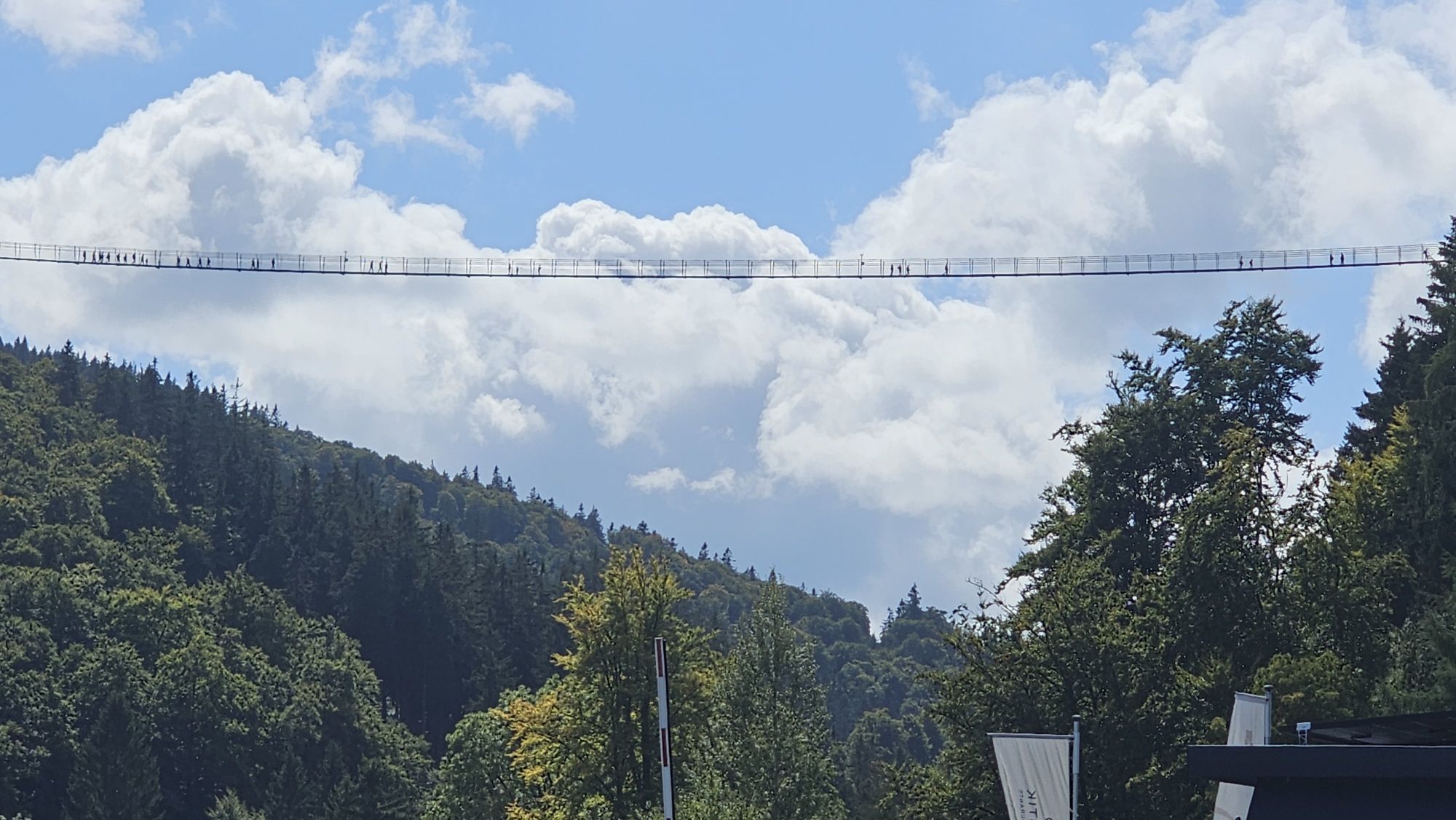
Skywalk
Oblíbené prohlídky v okolí
-
5.0
Circular route Skywalk/Hill - Ettelsberg
světloTuristika 4.10 km -
4.7
Bruchhauser Steine B1
středníTuristika 11.8 km -
4.0
Willingen (W8)
středníTuristika 12.9 km -
4.0
Bruchhausener Steine
heavyTuristika 5.15 km -
5.0
Willingen (W6)
středníTuristika 12.9 km -
5.0
Winterberg - rund um den Kreuzberg
světloTuristika 10.9 km -
Rundweg Skywalk
světloTuristika 4 km -
Uplandsteig - THE Original -
heavydálková pěší trasa 66.1 km -
5.0
Upländer meditation path
světloTuristika 17.6 km -
5.0
Wandertipp: Rundweg Ettelsberg-Mühlenkopfschanze
světloTuristika 7 km
Pěší turistika a stopování


Nenechte si ujít nabídky a inspiraci pro vaši příští dovolenou
Vaše e-mailová adresa byl přidán do poštovního seznamu.