







Willingen-Rattlar Loipe Upland (13)
Die Runde der Uplandloipe hat einen mittleren Schwierigkeitsgrad. Der Streckenverlauf liegt auf der Höhenlinie um 650 m. Lange Geraden und wenige Kurven prägen das Profil dieser Loipe. Der überwiegende...
Die Runde der Uplandloipe hat einen mittleren Schwierigkeitsgrad. Der Streckenverlauf liegt auf der Höhenlinie um 650 m. Lange Geraden und wenige Kurven prägen das Profil dieser Loipe. Der überwiegende Teil führt durch offenes Gelände.
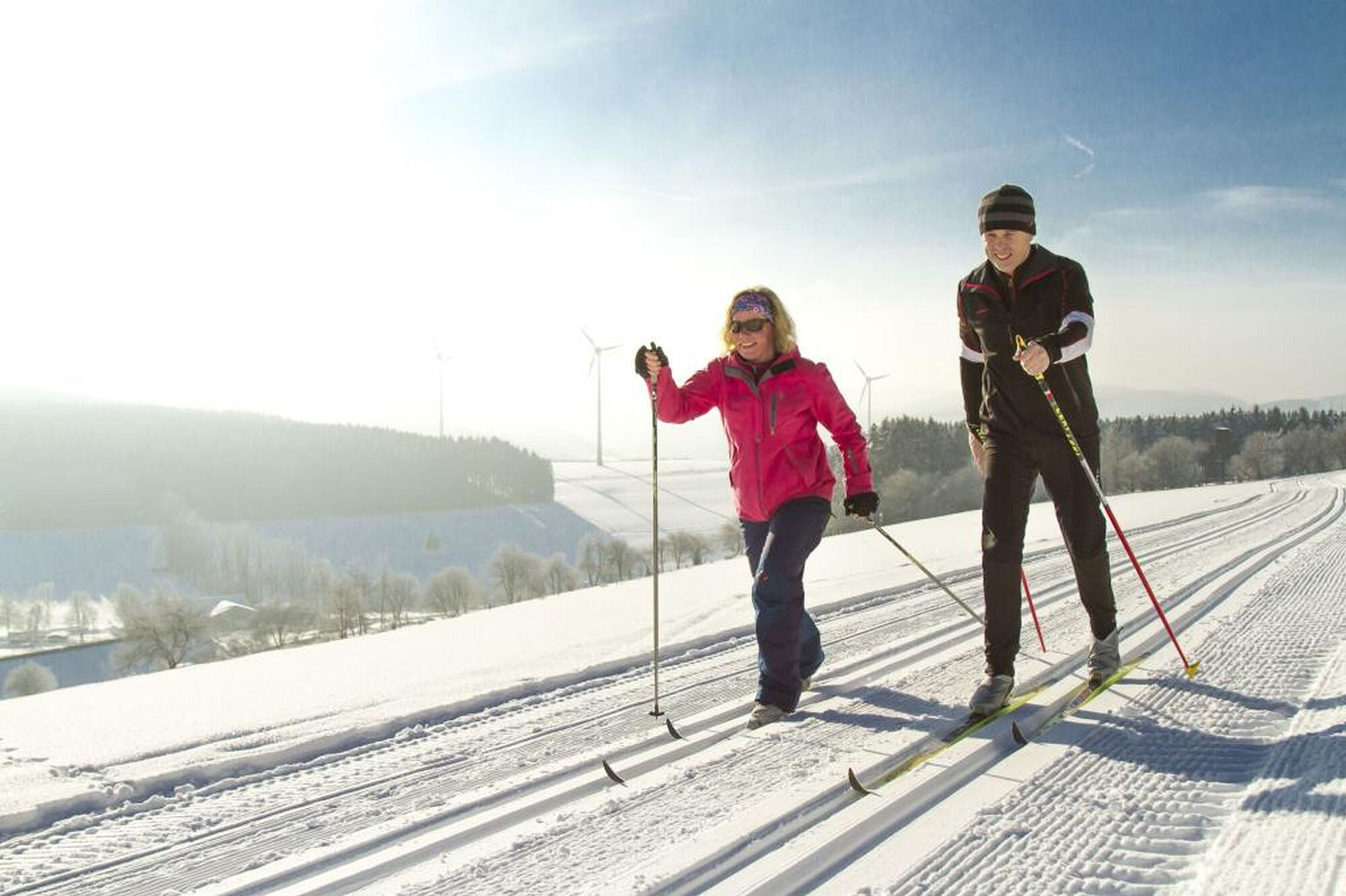
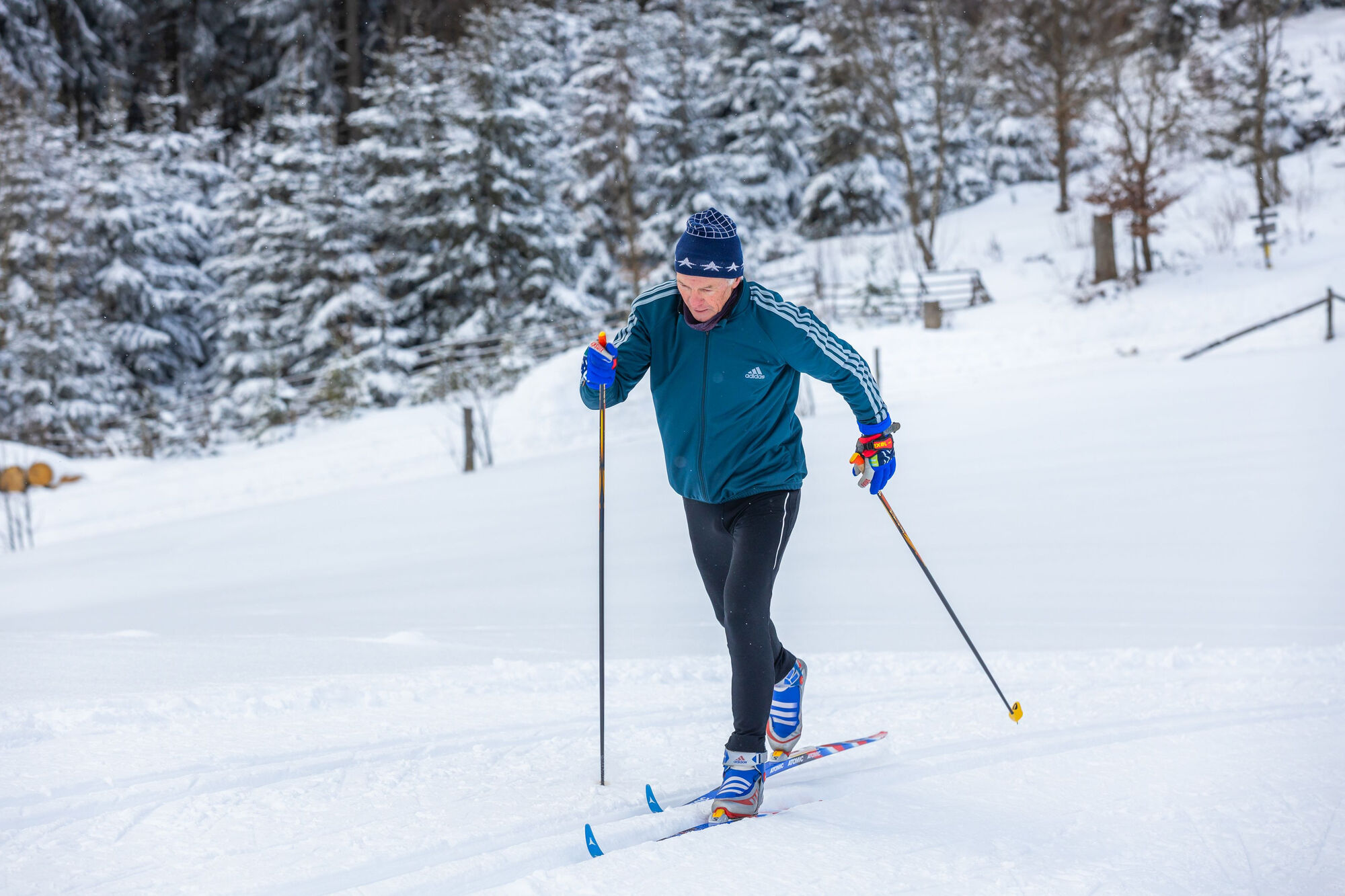

Die Loipe beginnt am Ortsausgang von Rattlar in Richtung Schwalefeld. Sie führt hauptsächlich durch offenes Gelände und wieder zum Ausgangspunkt zurück.
Empfohlen werden funktionelle, wetterangepasste Sportkleidung, kleiner Rucksack oder Bauchtasche, Energieriegel, Trinkgürtel, ausreichend Flüssigkeit (Wasser, Tee).
Mit dem Auto über die B251 nach Willingen (Upland), aus Richtung Schwalefeld ist der Start direkt am Ortseingang rechts. Aus Richtung Rattlar/Diemelsee/Usseln: Direkt am Ortsausgang Richtung Schwalefeld, links.
Bus/Bahn bis Bahnhof Willingen, weiter mit Bus oder Anrufsammeltaxi, Haltestelle Rattlar, Friedrichsplatz
kostenfreie Parkplätze direkt am Loipeneinstieg
Webové kamery z prohlídky
-
Talstation Ettelsberg-Seilbahn
-
Kurhotel Hochsauerland 2010
-
Kurhotel Hochsauerland 2010
-
Kurhotel Hochsauerland 2010
-
Hochheideturm - Ettelsberg
-
Skywalk
-
Skywalk
-
Stern Hotel Sauerland
-
Schwalefeld - Cafe Fernblick
-
Ettelsberg
-
Sonnenhang
-
Talstation Ettelsberg Seilbahn
-
Ettelsberg Seilbahn Bergstation/ Hochheideturm
-
Sesselbahn Ritzhagen Berg
-
Piste Ritzhagen
-
Mountainbike-Strecke K1
-
K1 Gipfelkreuz
-
Bikepark (Sommer) / Skipiste an K1-Hütte (Winter)
-
Spielplatz, Bergsee, K1-Gipfel
-
Spielplatz am Hochheideturm
-
Ettelsbergplateau
-
Ettelsberghütte
-
Bergstation Ritzhagen
-
Skipiste Ritzhagen
Získejte přehled
Vždy živě na místě s více než 9 500 webkamerami. bergfex Jako uživatel Pro si nyní můžete zobrazit odpovídající webové kamery pro mnoho prohlídek v aplikaci prohlídky z. Můžete si tak přímo prohlédnout aktuální podmínky.
Oblíbené prohlídky v okolí
-
4.7
Bruchhauser Steine B1
středníTuristika 11.8 km -
5.0
Circular route Skywalk/Hill - Ettelsberg
světloTuristika 4.10 km -
4.5
Bruchhausener Steine
heavyTuristika 5.15 km -
4.8
Rundwanderung Diemelsee
světloTuristika 8.54 km -
4.3
Willingen (W8)
středníTuristika 12.9 km -
5.0
Winterberg - rund um den Kreuzberg
světloTuristika 10.9 km -
5.0
Rundwanderung Ruhrquelle Winterberg
světloTuristika 3.74 km -
5.0
Rothaarsteig-Spur - Grönebacher Dorfpfad
středníTuristika 10.6 km -
5.0
Willingen (W6)
středníTuristika 12.9 km -
Winterberger Hochtour
heavyTematická stezka 90.7 km
Pěší turistika a stopování


Nenechte si ujít nabídky a inspiraci pro vaši příští dovolenou
Vaše e-mailová adresa byl přidán do poštovního seznamu.





