



Le Sart Galant

Úroveň obtížnosti: 1
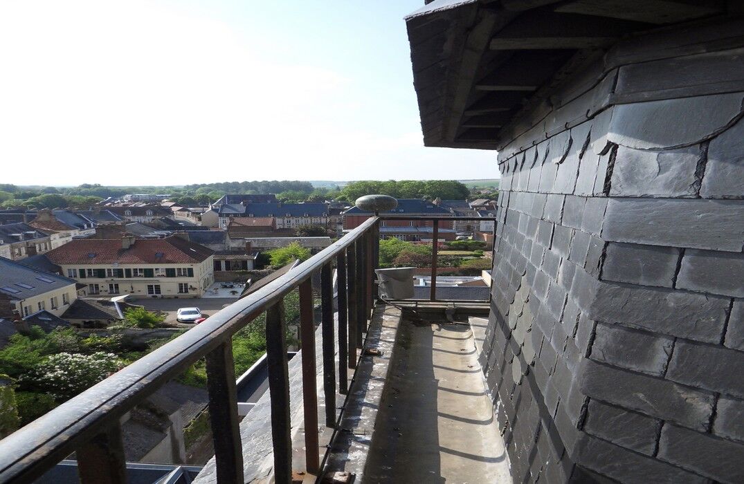
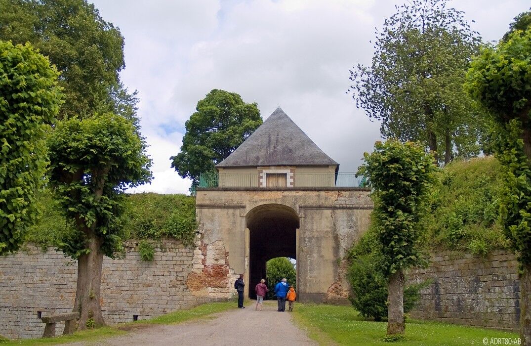
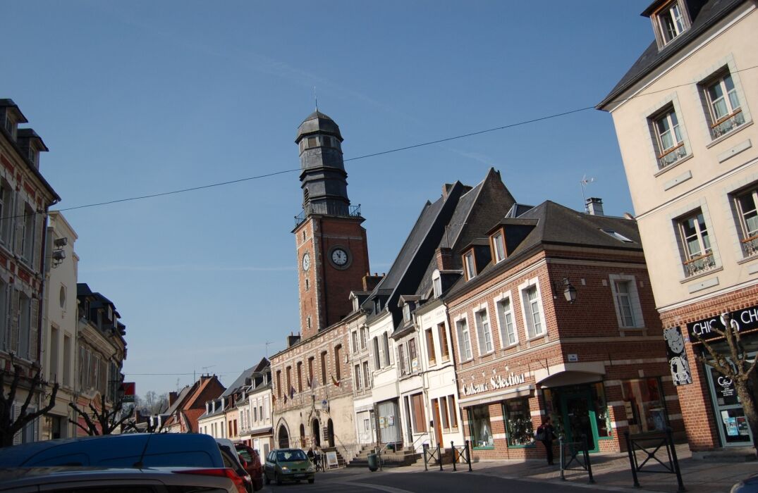
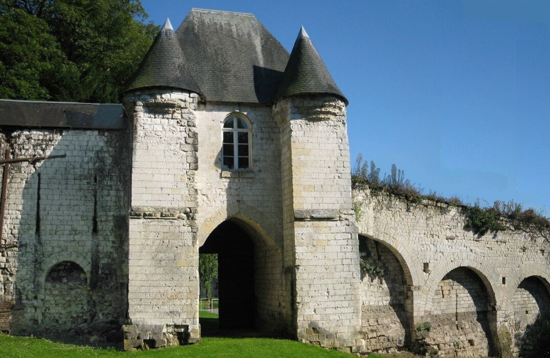
A hike on the border of Pas-de-Calais between heritage and nature: you will discover the Authie Valley, the Grouches Valley, but also the Citadel of Doullens or the belfry and the old castle of Lucheux.From...
A hike on the border of Pas-de-Calais between heritage and nature: you will discover the Authie Valley, the Grouches Valley, but also the Citadel of Doullens or the belfry and the old castle of Lucheux.
From the tourist office, go to Milly, then head to Lucheux. Take the direction of Bouquemaison. Pass Barly, Remaisnil, and Frohen-sur-Authie to cross the Authie. Then the route goes through Béalcourt, Saint-Acheul, Le Meillard, Boisbergues, and Outrebois. Next, the path follows the bed of the Authie. At Hem-Hardival, continue towards
Gézaincourt, cross the railway, and follow the hamlet of Bretel, direction Doullens.


In case of emergency, dial 112
Consider carpooling
Parking near the starting point
1
Oblíbené prohlídky v okolí
-
The short train
světloTuristika 11.7 km -
Les Muches and Saint-Riquier
světloSilniční kolo 58.7 km -
Le Patis
světloTuristika 8.85 km -
Hesdin - Les Quinze - Mont Blanc
heavySilniční kolo 97.7 km -
5.0
Auxi-le-Château - Église Notre-Dame - Chapelle Saint-Roch - Églice Saint-Maurice
středníMountainbike 29.6 km -
5.0
Beauvoir-Wavans - Église Notre-Dame-de-l'Assomption - Le Moulin de Maizicourt - Église Saint-Vaast
středníJízda na kole 22.4 km -
Hébuterne - Église Saint-Léger - Notre-Dame Auxiliatrice
středníSilniční kolo 57.2 km -
Saint-Pol-sur-Ternoise - Église Notre-Dame - Église Saint-Martin
středníMountainbike 65.9 km -
Bertrancourt - Ancienne église Saint-Pierre - Chapelle Saint-Brice - Église Saint-Léger
středníSilniční kolo 67.0 km -
Lucheux
středníTuristika 11.4 km

Pěší turistika a stopování


Nenechte si ujít nabídky a inspiraci pro vaši příští dovolenou
Vaše e-mailová adresa byl přidán do poštovního seznamu.


