







250 circular hike Senda d'unviern Triel

Úroveň obtížnosti: 2
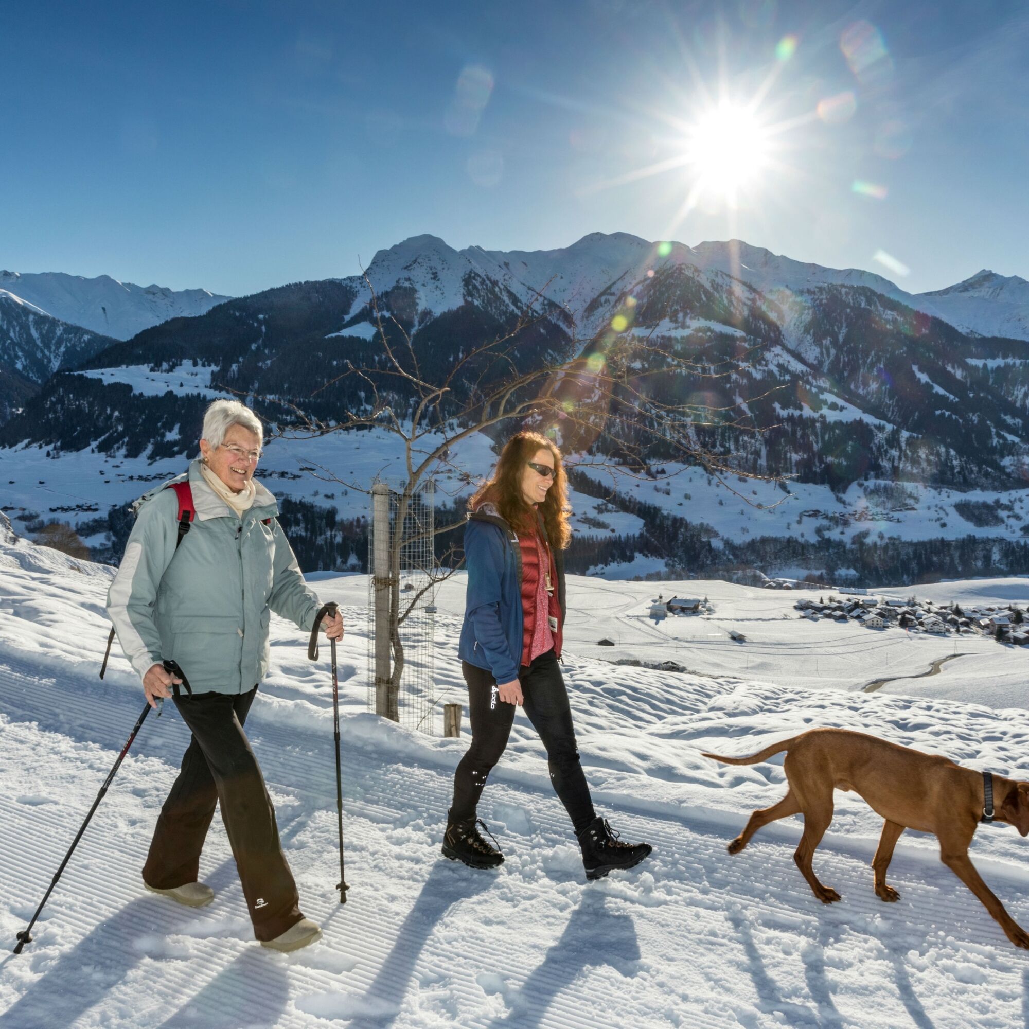
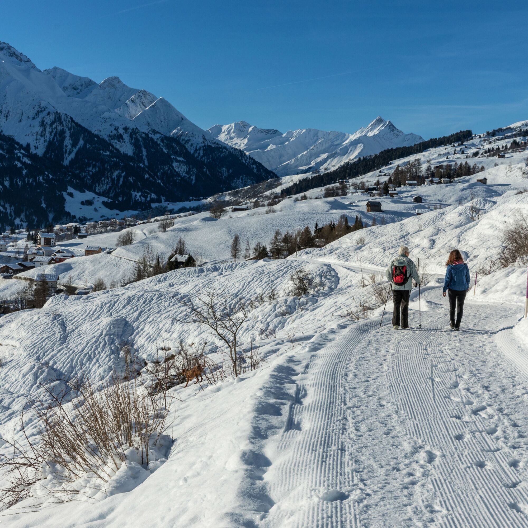
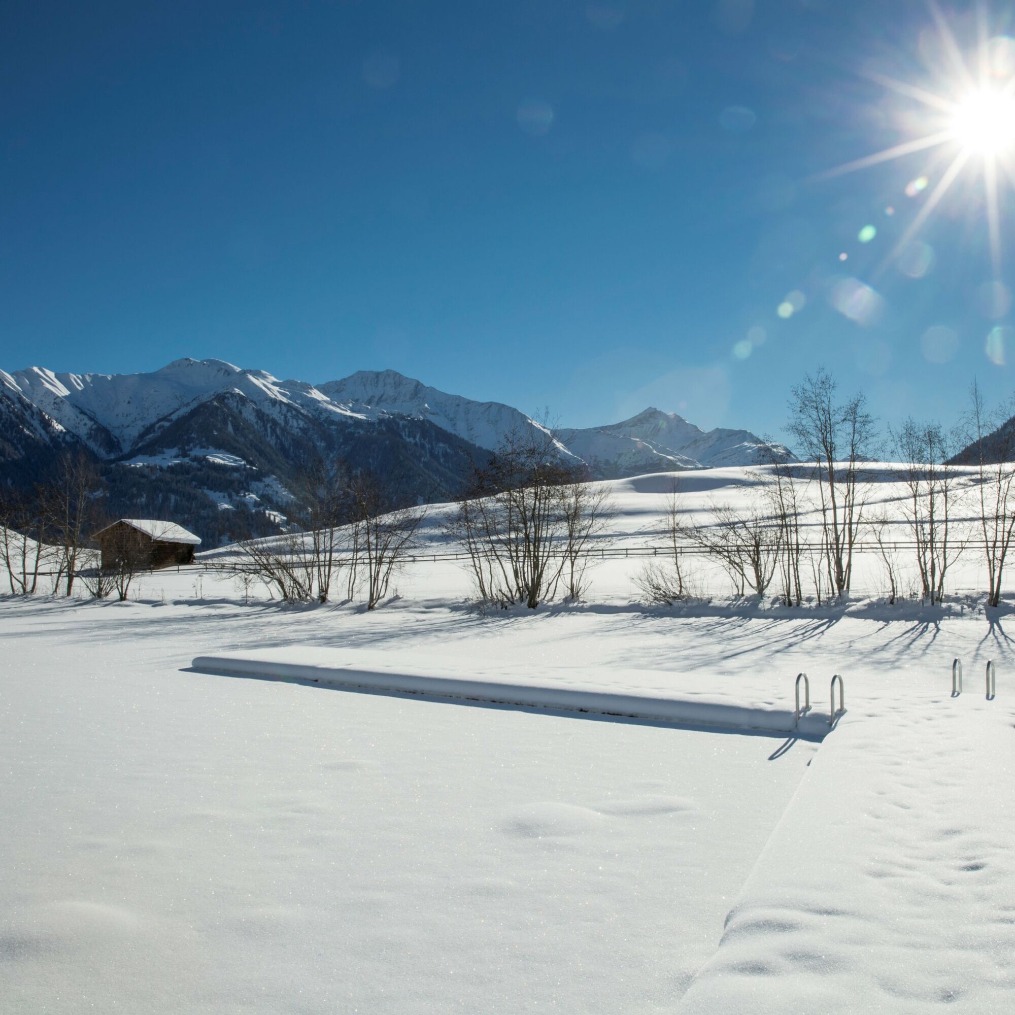
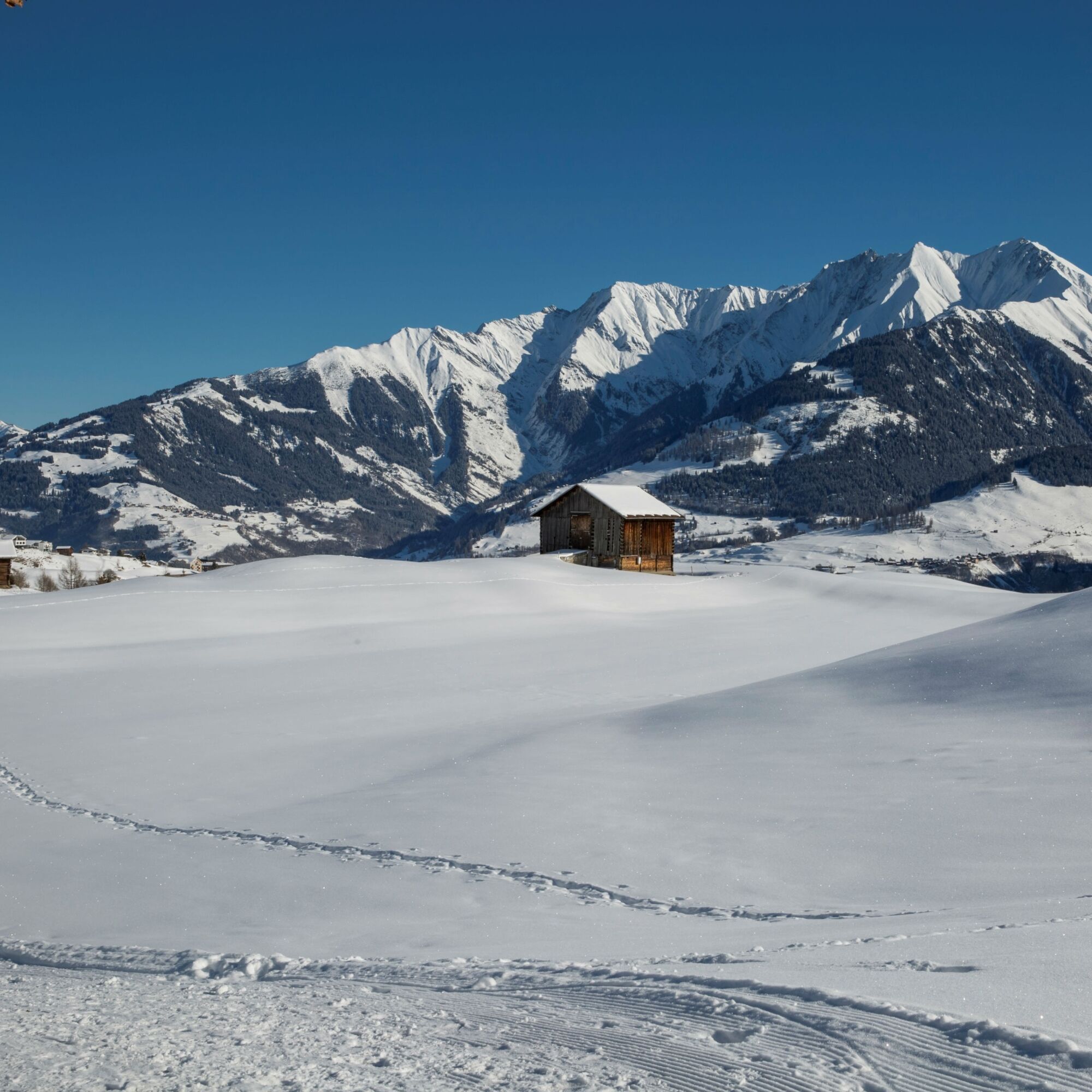
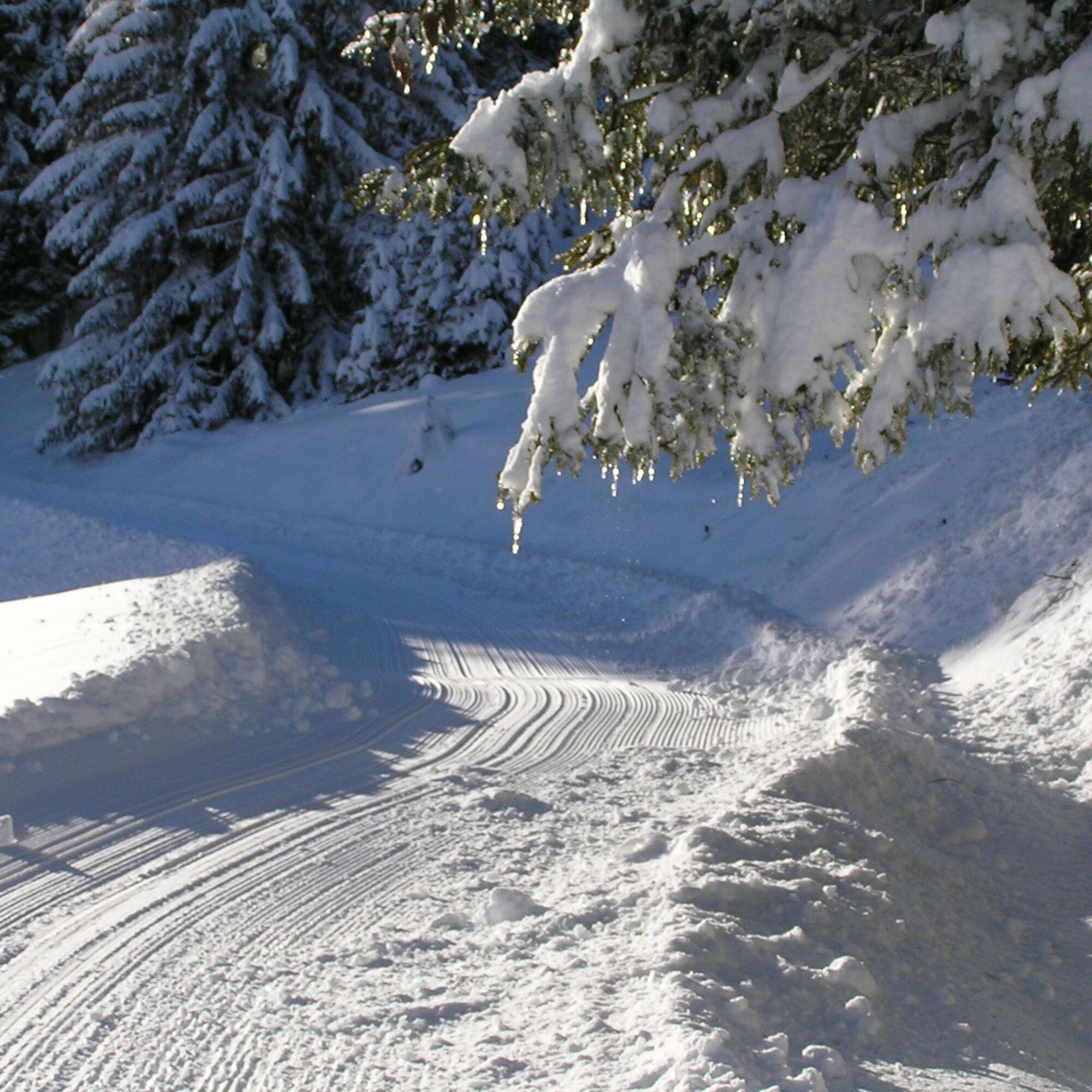
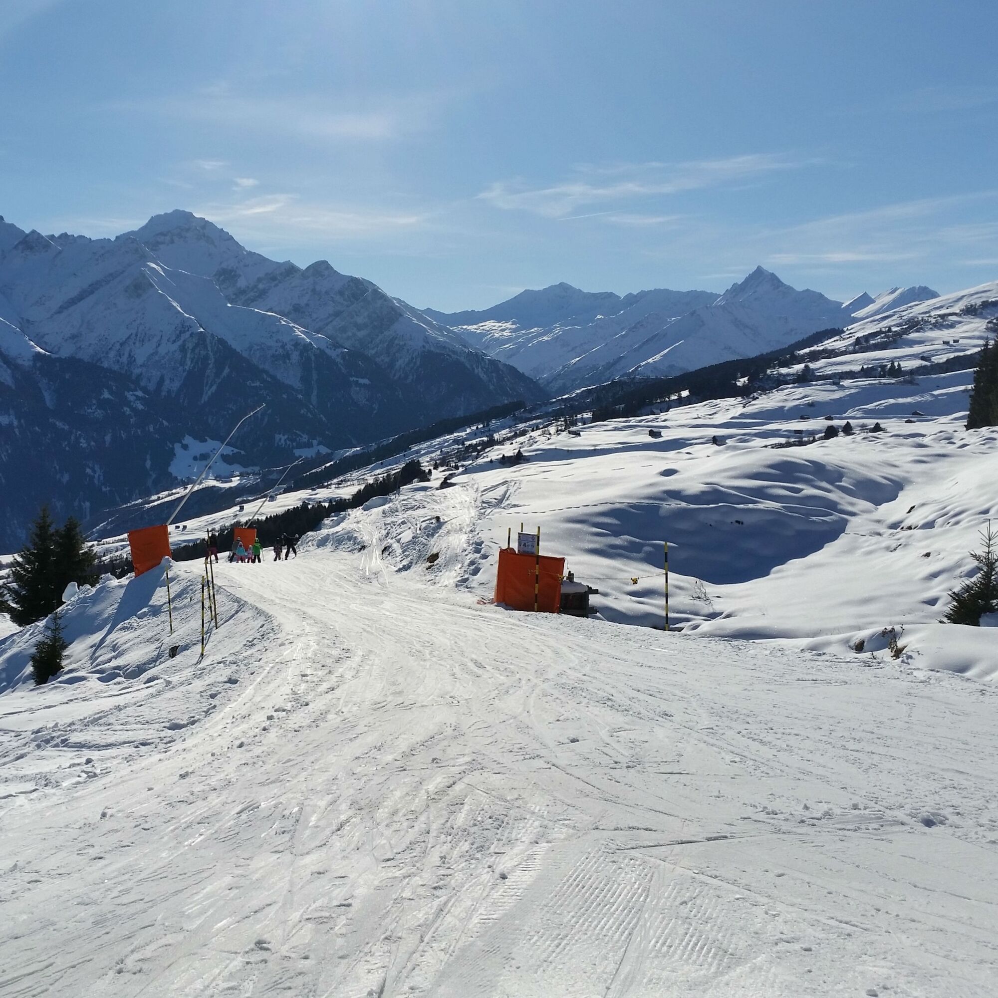
The winter hike begins in Vella at Sumsiaras and leads over a short climb to the edge of the village in Bual. Always keeping the pyramid-shaped Péz Terri in sight, it continues without significant ascents...
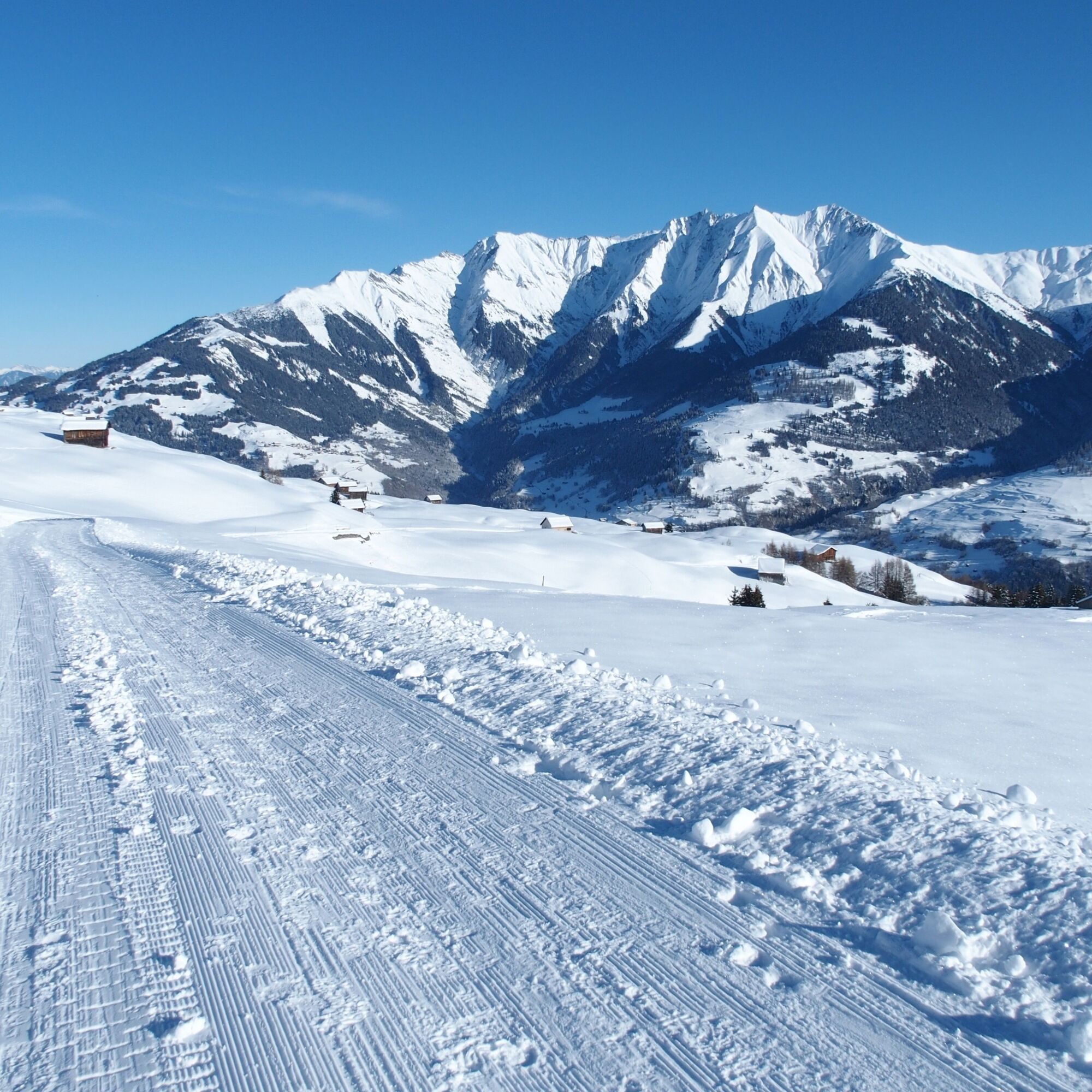
The winter hike begins in Vella at Sumsiaras and leads over a short climb to the edge of the village in Bual. Always keeping the pyramid-shaped Péz Terri in sight, it continues without significant ascents downstream towards Davos Munts.
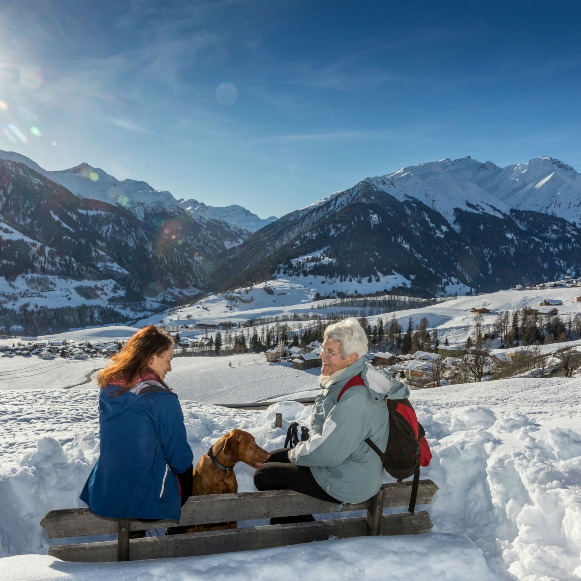
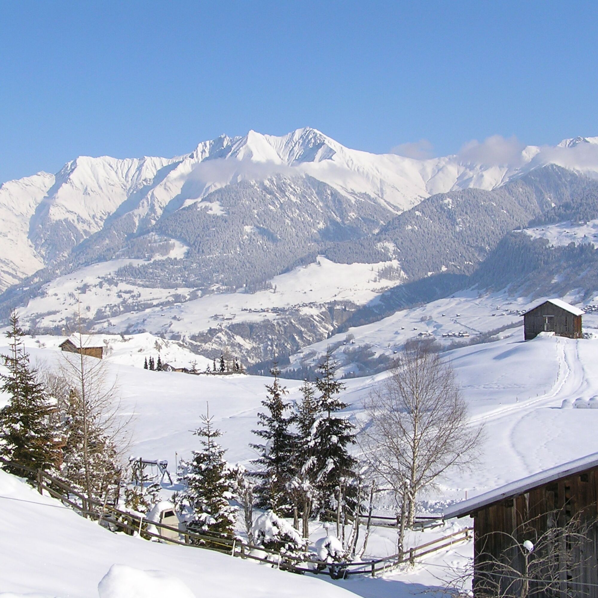
At the idyllic snow-covered bathing lake Davos Munts begins the elongated, only moderately steep ascent to Triel. The middle station of the Obersaxen Mundaun Lumnezia mountain railways is located at one of the most beautiful viewpoints in Val Lumnezia. The panorama extends from the Signina group over Péz Regina to Péz Terri. From Triel there is the option to take the chairlift back to Vella.
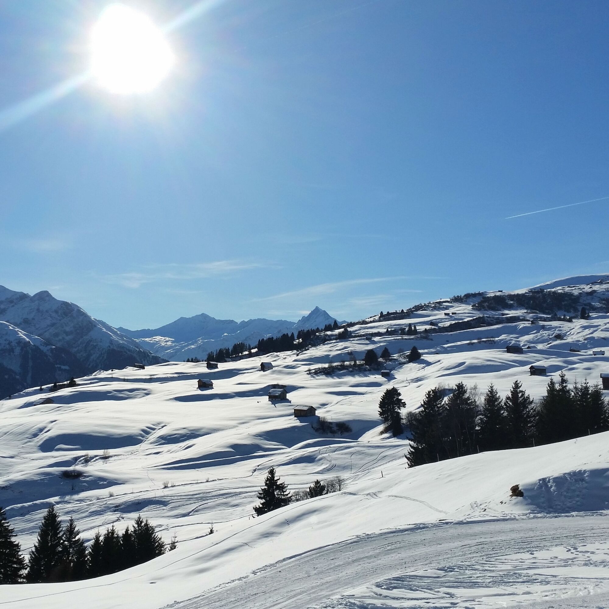
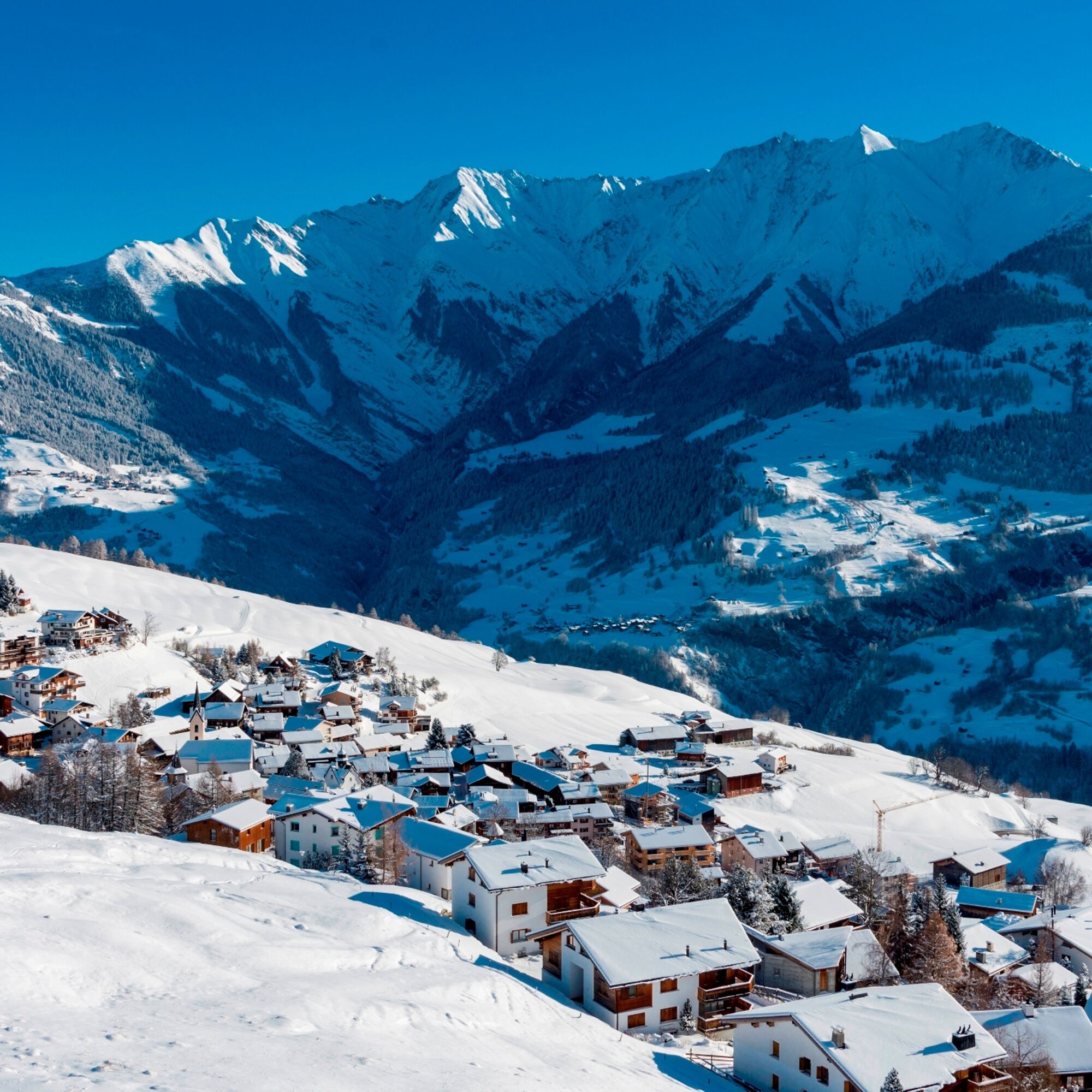
However, the route continues to Morissen, past snow-covered alpine farms. After passing through the mountain village, it goes back to Vella, whose village center is characterized by stately stone houses.


Vella - Bual - Davos Munts - Triel - Morissen - Vella
Ano
Provision with hot drink, high and sturdy hiking boots or winter boots, warm clothing, sun protection, hiking poles are an advantage.
The route should not be started in uncertain weather conditions. Weather changes in the mountains are frequent. If a bad weather front or similar develops during the hike, you should turn back in good time.
Via Chur A3/A13 via Flims to Ilanz into Val Lumnezia to Vella.
PostBus line 90.441 Ilanz - Vrin, stop Vella, Sumsiaras
During the winter season, the PostBus on the Ilanz – Vrin line as well as on other lines throughout the entire municipality area of Lumnezia can be used free of charge by everyone.
Limited parking options in Vella. We generally recommend arriving by public transport.
During the winter season, the PostBus on the Ilanz – Vrin line as well as on other lines throughout the entire municipality area of Lumnezia can be used free of charge by everyone.
2
The hike can be shortened with an uphill or downhill ride on the chairlift from Triel.
Refreshment options: Seecafe Davos Munts, mountain restaurant Triel, Il Mulin Morissen, various restaurants in Vella



Oblíbené prohlídky v okolí
- 4.9
Rheinschlucht: From Ilanz to Versam into the heart of the Rheinschlucht
středníTuristika 11.4 km - 5.0
High valley Val Frisal
heavyTuristika 12.4 km - 3.8
Circular hike: Falera-Curnius-Alp Dadens-Falera
středníTuristika 11.4 km - 5.0
Rhine Gorge Circular Hike
středníTuristika 11.4 km - 5.0
Circular route: Lake Cauma - Rhine Gorge "Swiss Grand Canyon"
středníTuristika 19.8 km Piz Fess 2880m, the proud one
heavyTuristika 12.8 km- 5.0
Hiking route Suspension Bridge Val da Tersnaus
středníTuristika 3.24 km - 4.7
Dutjer Alp - magnificent view
středníTuristika 8.23 km Rhine Gorge/Ruinaulta: Ilanz - Reichenau
středníTuristika 21.2 kmPanoramic route between Piz Mundaun and Péz Sezner
středníTuristika 6.75 km
Pěší turistika a stopování


Nenechte si ujít nabídky a inspiraci pro vaši příští dovolenou
Vaše e-mailová adresa byl přidán do poštovního seznamu.





