


Valley Hike Along Schergenbach
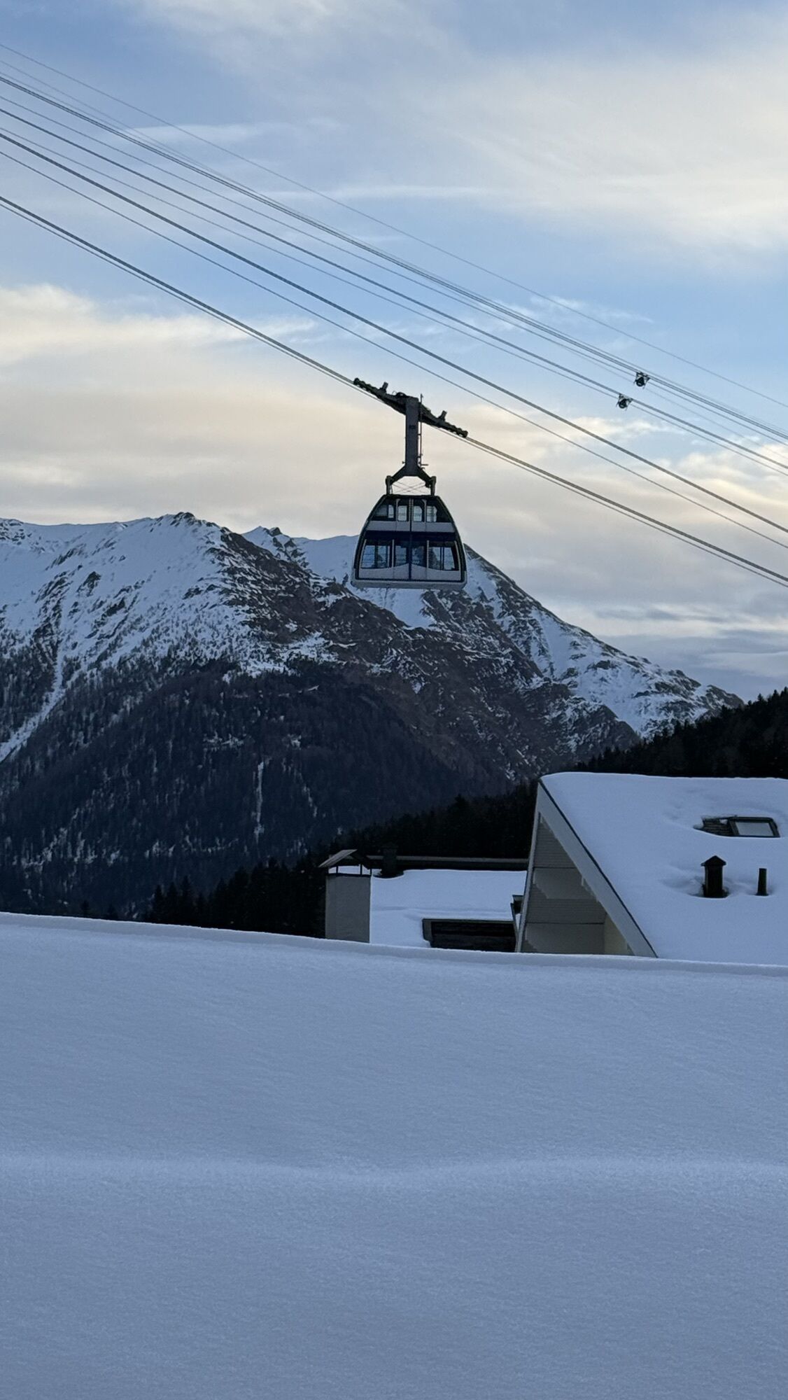

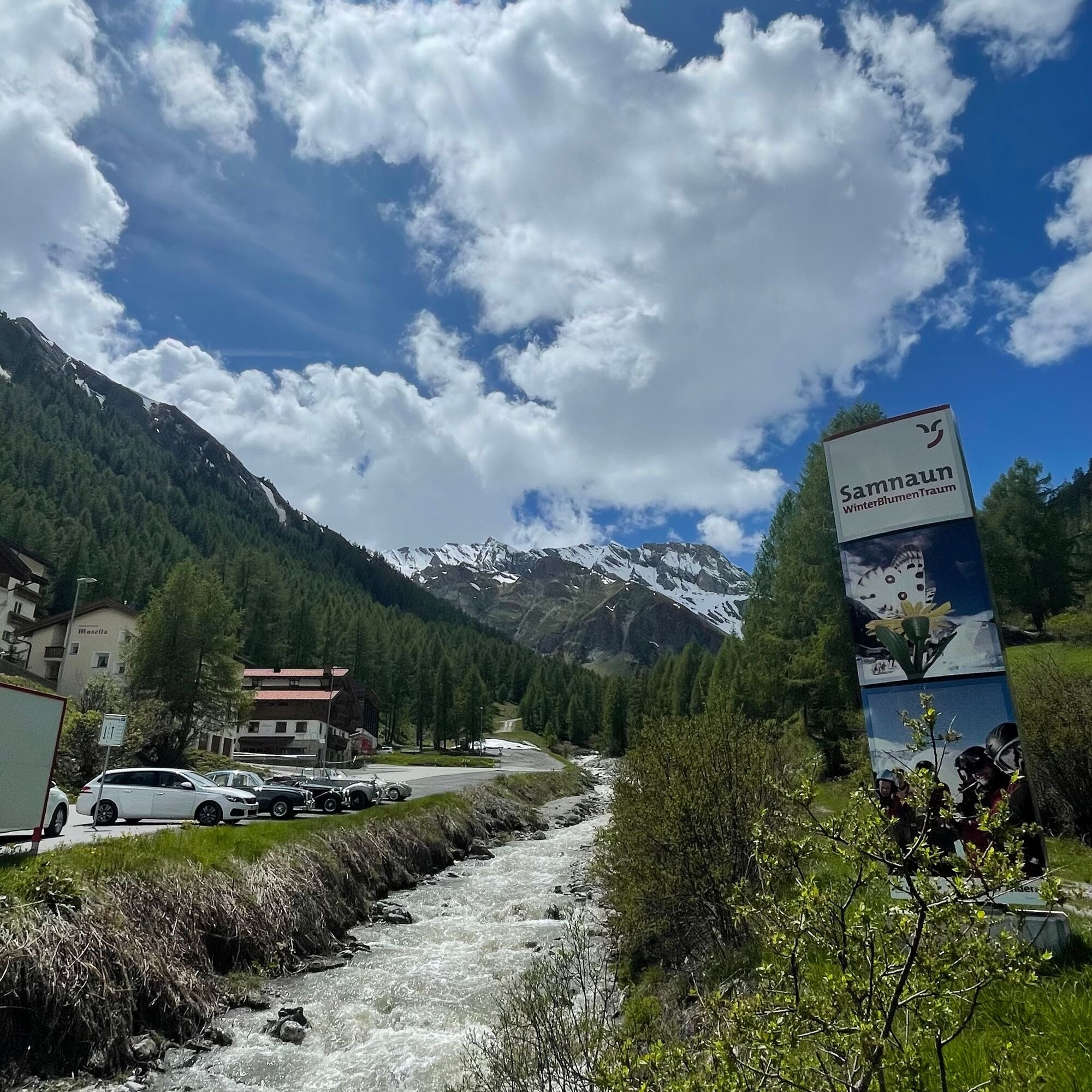
The trail along the Schergenbach begins directly at the PostBus stop Chasa Riva (below the guest information centre). Passing the sports field you reach Samnaun-Ravaisch and the valley station of the double-decker...
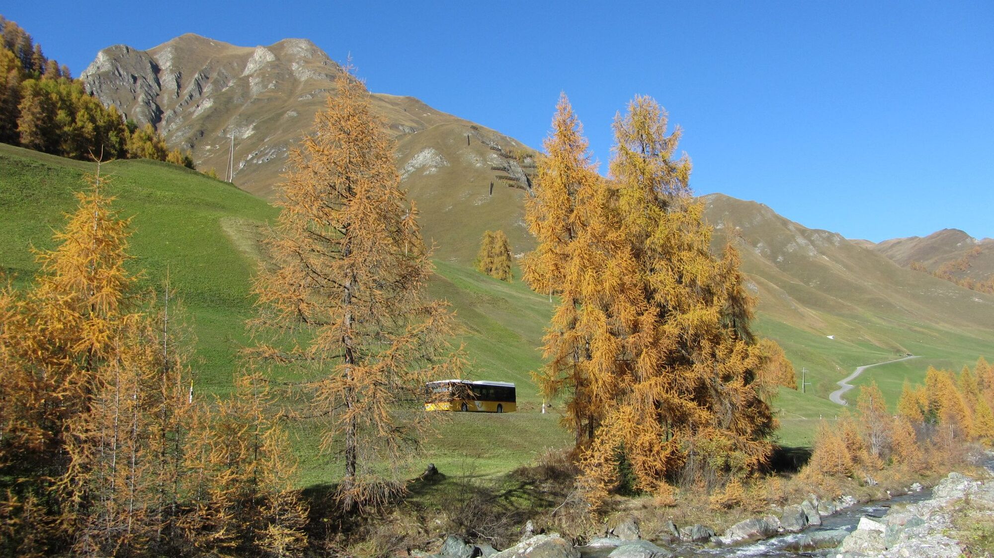
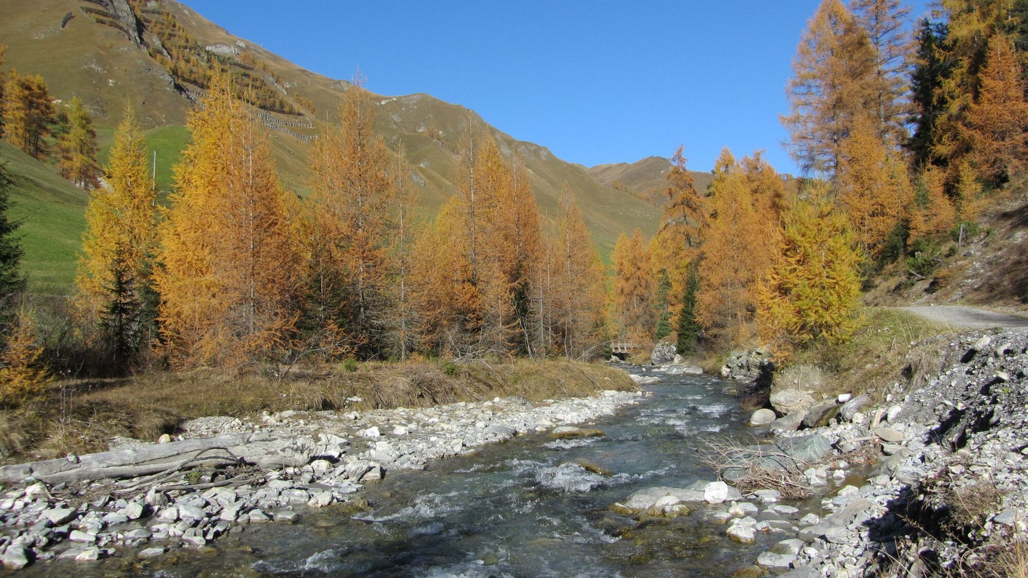
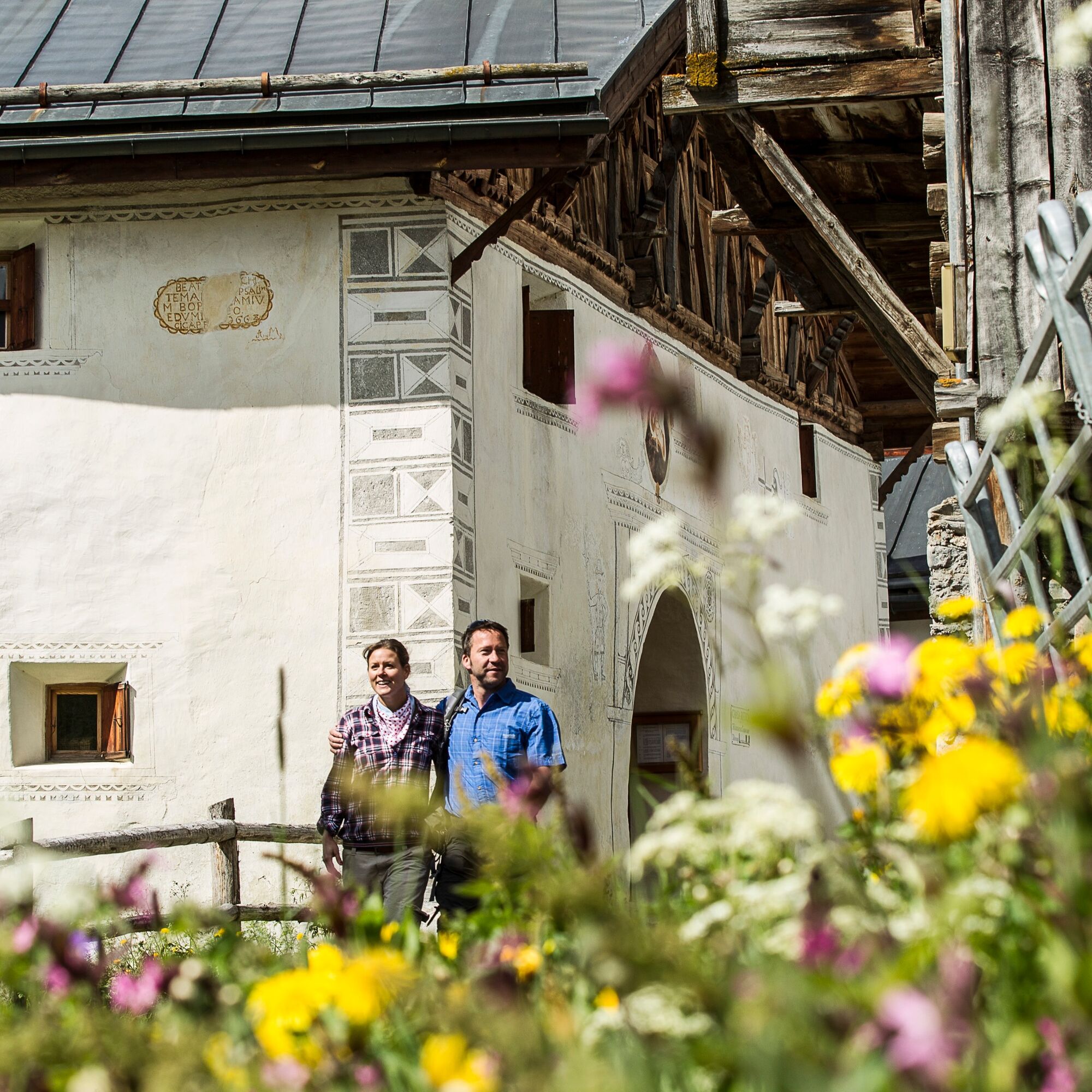
The trail along the Schergenbach begins directly at the PostBus stop Chasa Riva (below the guest information centre). Passing the sports field you reach Samnaun-Ravaisch and the valley station of the double-decker cable railway. To the left the Schergenbach, to the right the mixed forest with larches and pines. In Samnaun-Plan you will also find the valley museum Chasa Raetica, presumably the oldest building in the Samnaun valley dating from the 16th century. Immediately after leaving the village you walk past the approximately 50 bee colonies of the Samnaun beekeeper. You reach your destination of Samnaun-Laret after about one hour.

Start at the Chasa Riva, below the guest information SamnaunFollow the path along the stream until Samnaun-Laret
Ano
Good shoes, rain and sun protection, water bottle, bandages.
144 Emergency call, first aid
1414 Mountain rescue REGA
112 International emergency call
From the north: via Landquart - Klosters by car transport through the Vereina tunnel (Selfranga - Sagliains) Then take the H27 in the direction via Scuol and Martina to Vinadi. At the junction Vinadi to Samnaun (about 1 hour from Vereina Südportal)
From the east: via the Inn valley road B180 via Landeck to Pfunds, junction Kajetansbrücke and via Spiss to Samnaun.
From the south: via Reschenpass (Nauders) on B180 to Pfunds, junction Kajetansbrücke and via Spiss to Samnaun.
With the Rhaetian Railway (from Chur, Landquart/Prättigau or from the Upper Engadine) every hour to Scuol-Tarasp station
Continue by PostBus (from Scuol-Tarasp, or Martina, cunfin) every hour to the PostBus stop Samnaun village, Riva
In Samnaun during the day hourly access with the Samnaunbus
Free parking in Samnaun village (Chasa Riva, Musella or Votlas)
Oblíbené prohlídky v okolí
- 5,0
Menta Alm - Scheibenalm
světloTuristika 11,4 km - 4,5
Radurschelklamm
středníTuristika 7,51 km - 4,9
Furgler vom Lazid
heavyVysokohorská turistika 9,60 km - 4,3
Sonnenkogel - Friedrichshafener lodge
středníTuristika 13,2 km - 5,0
Rundwanderung Berglisee, Mathon
heavyTuristika 11,1 km - 5,0
Samnaun Dorf – Muttler
heavyTuristika 14,8 km - 4,7
Around the Flimspitz from Alptrider Sattel
středníTuristika 8,57 km - 5,0
Kappl, Diasbahn Bergstation, Niederelbehütte, Diasbahn, Österreich
středníTuristika 10,1 km - 4,0
Lazid-Hexenseehütte
středníTuristika 14,6 km - 3,6
Bergstation Silvretta nach Patznauener Taja
světloTuristika 11,6 km
Pěší turistika a stopování


Nenechte si ujít nabídky a inspiraci pro vaši příští dovolenou
Vaše e-mailová adresa byl přidán do poštovního seznamu.