


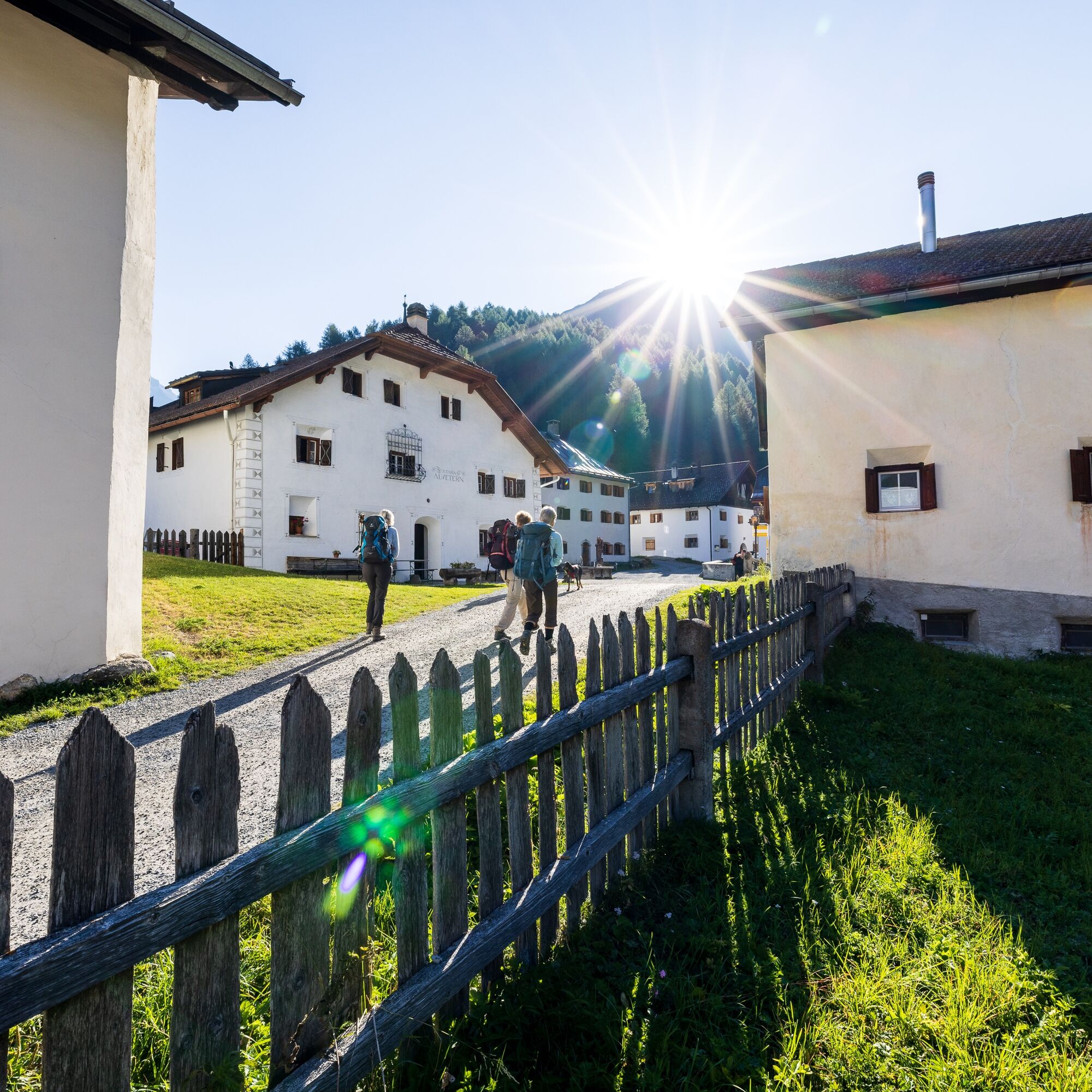
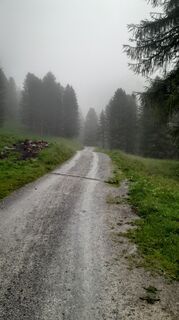
45.03 S-charl - Süsom Givè, National Park Panorama Trail
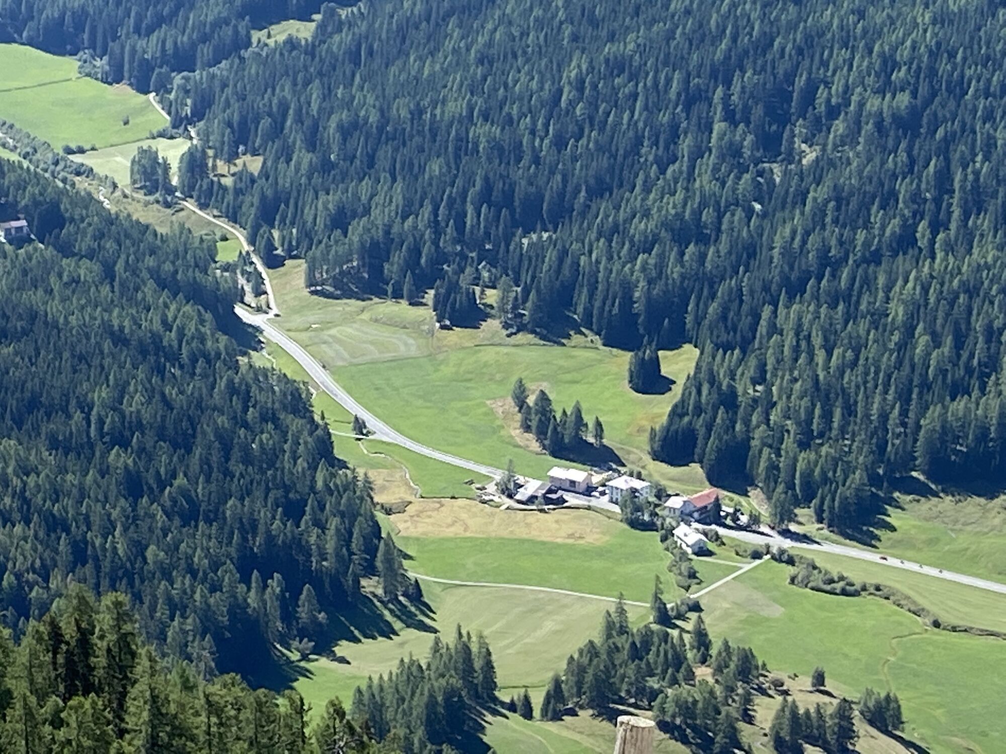
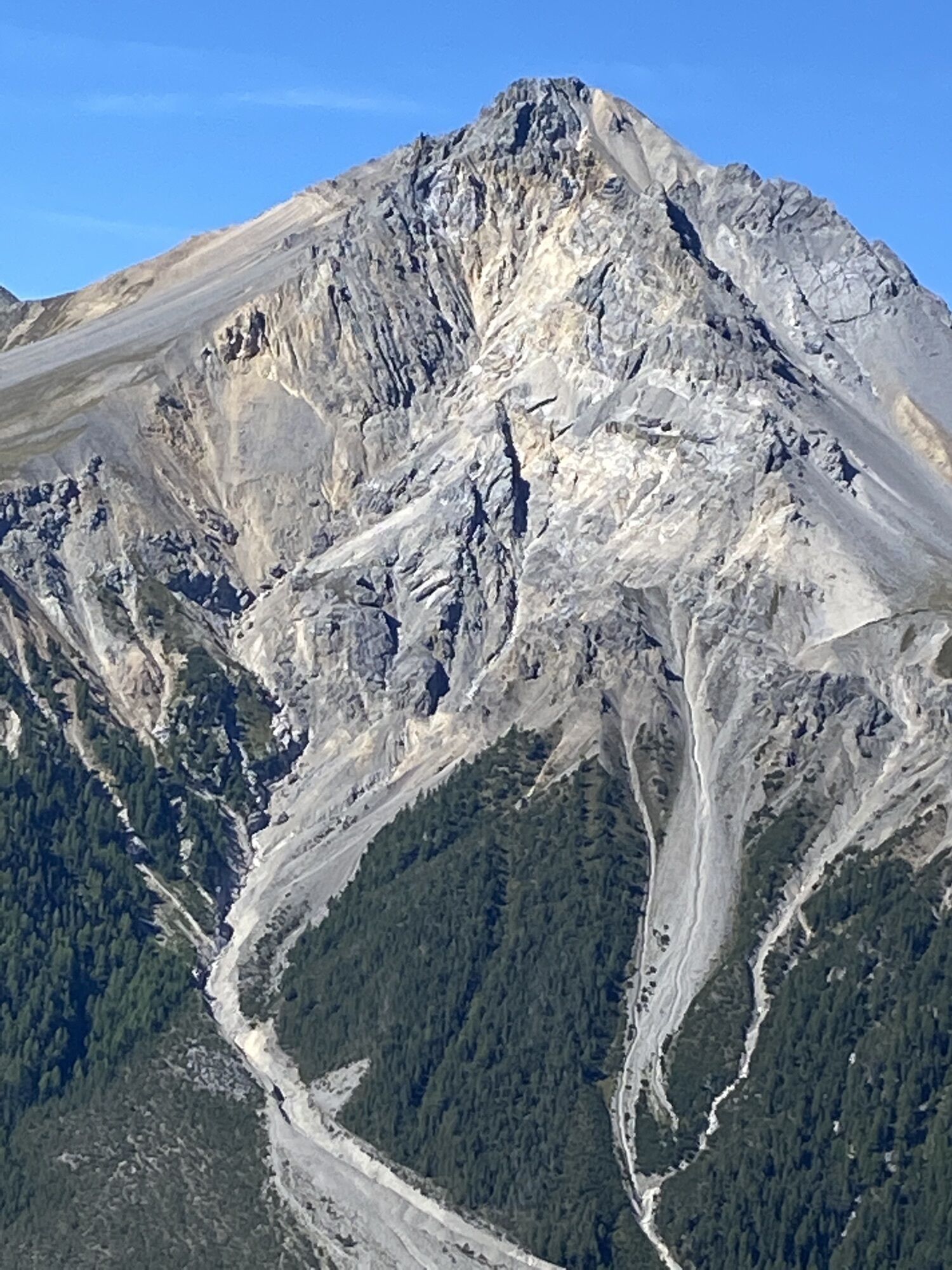
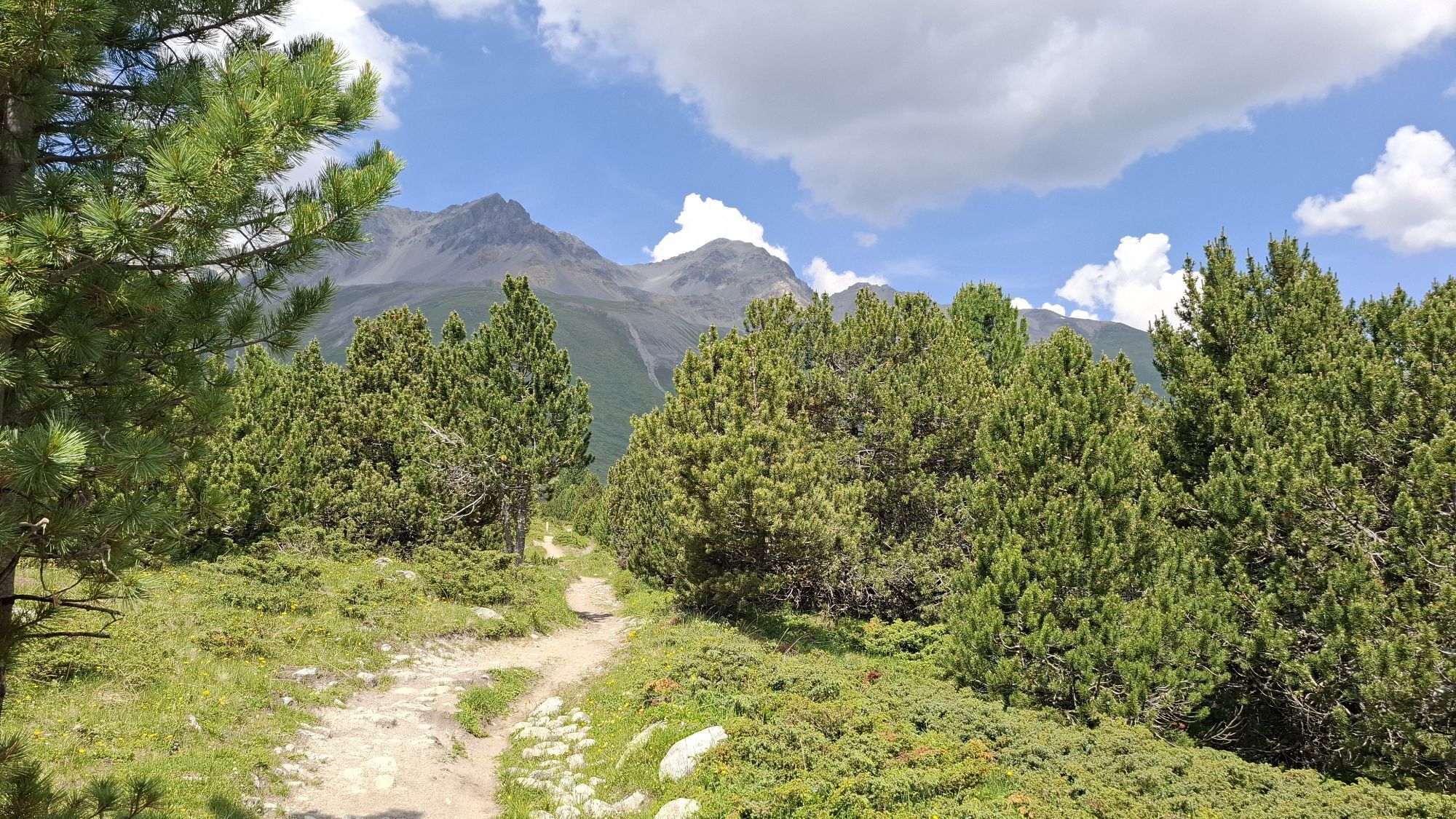
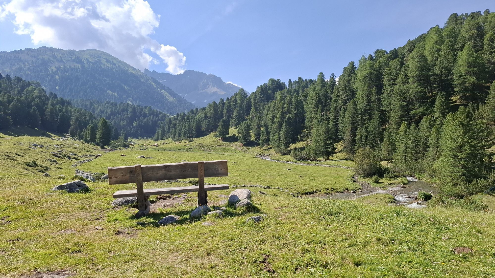
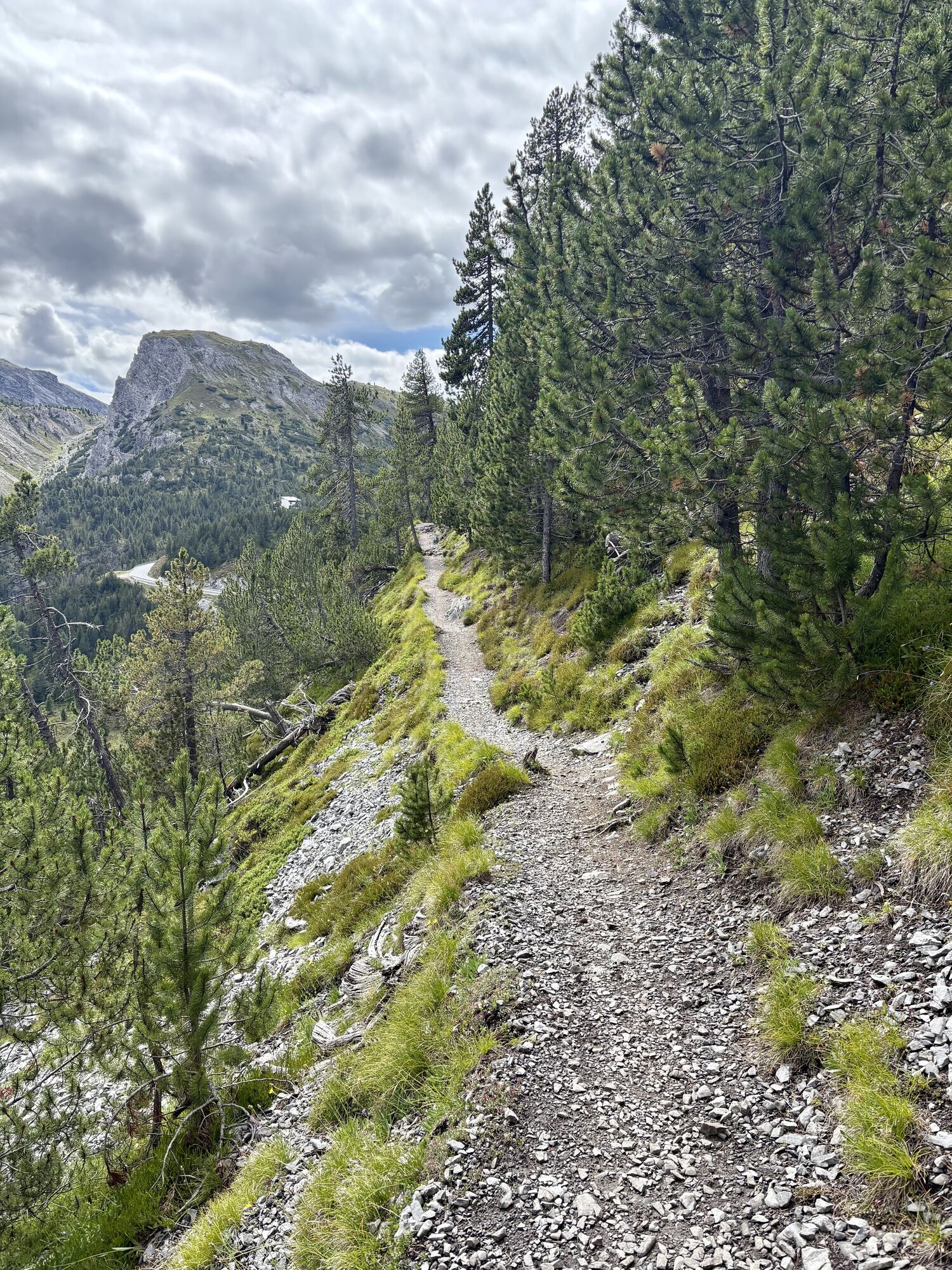
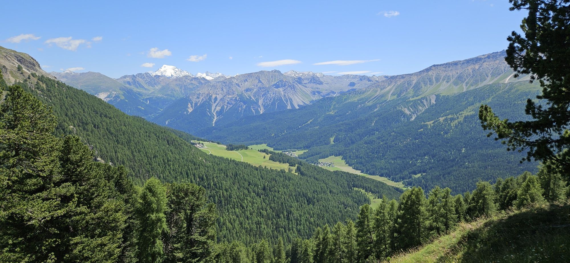
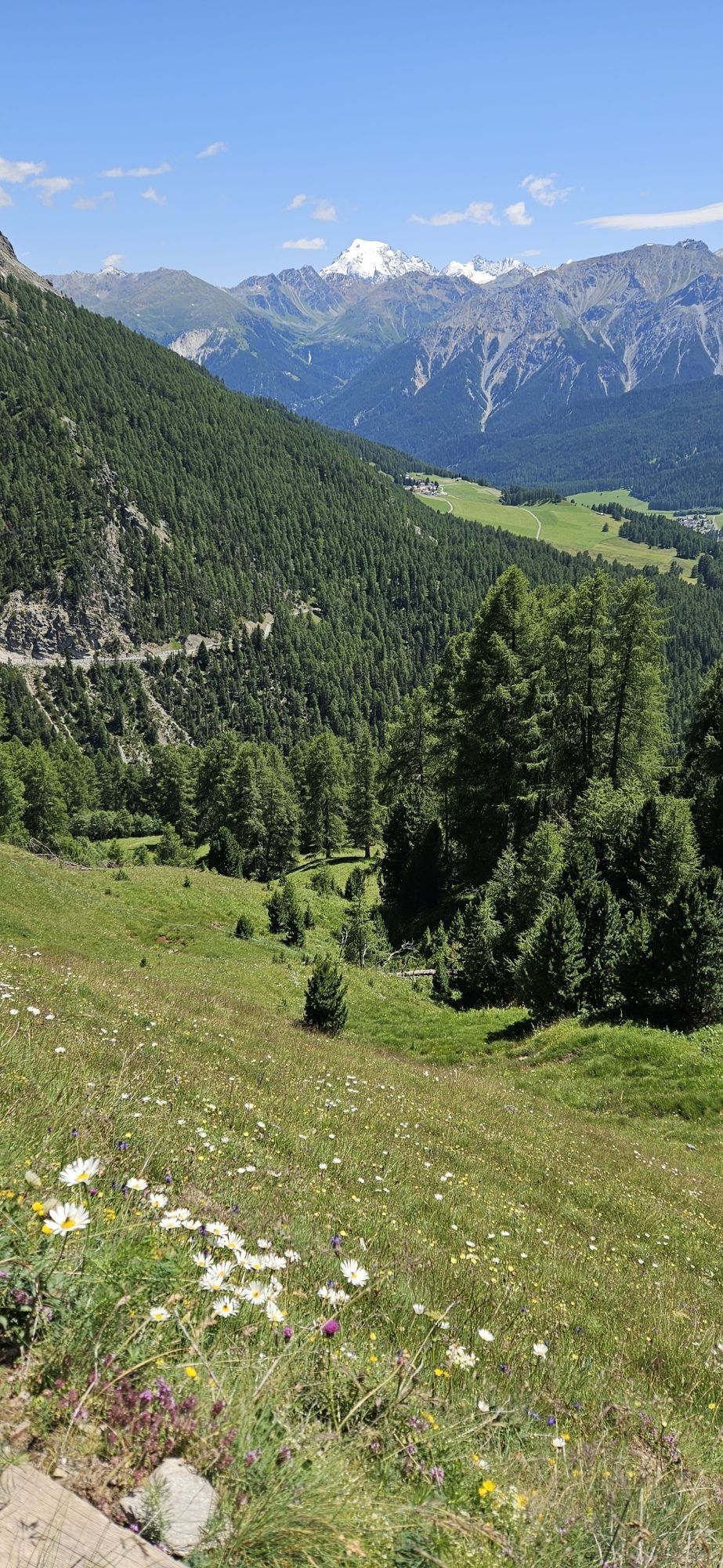
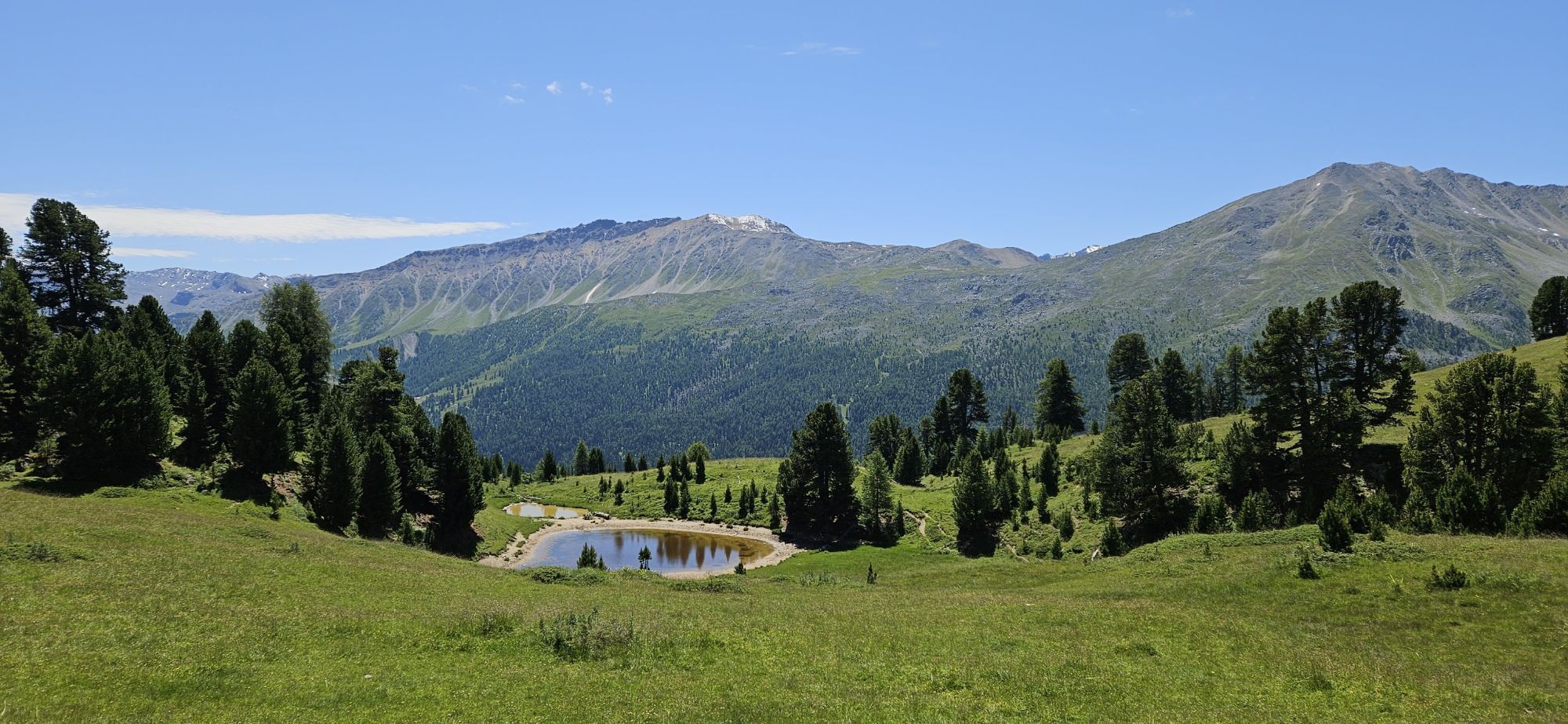
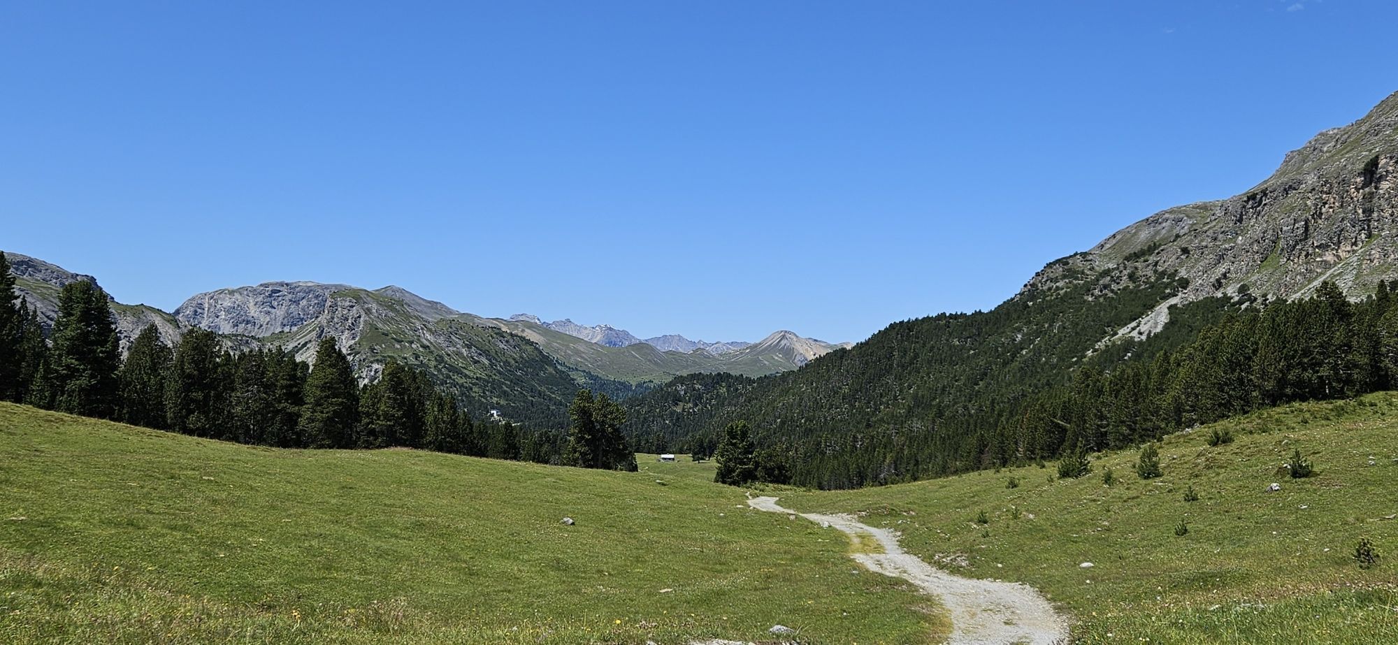
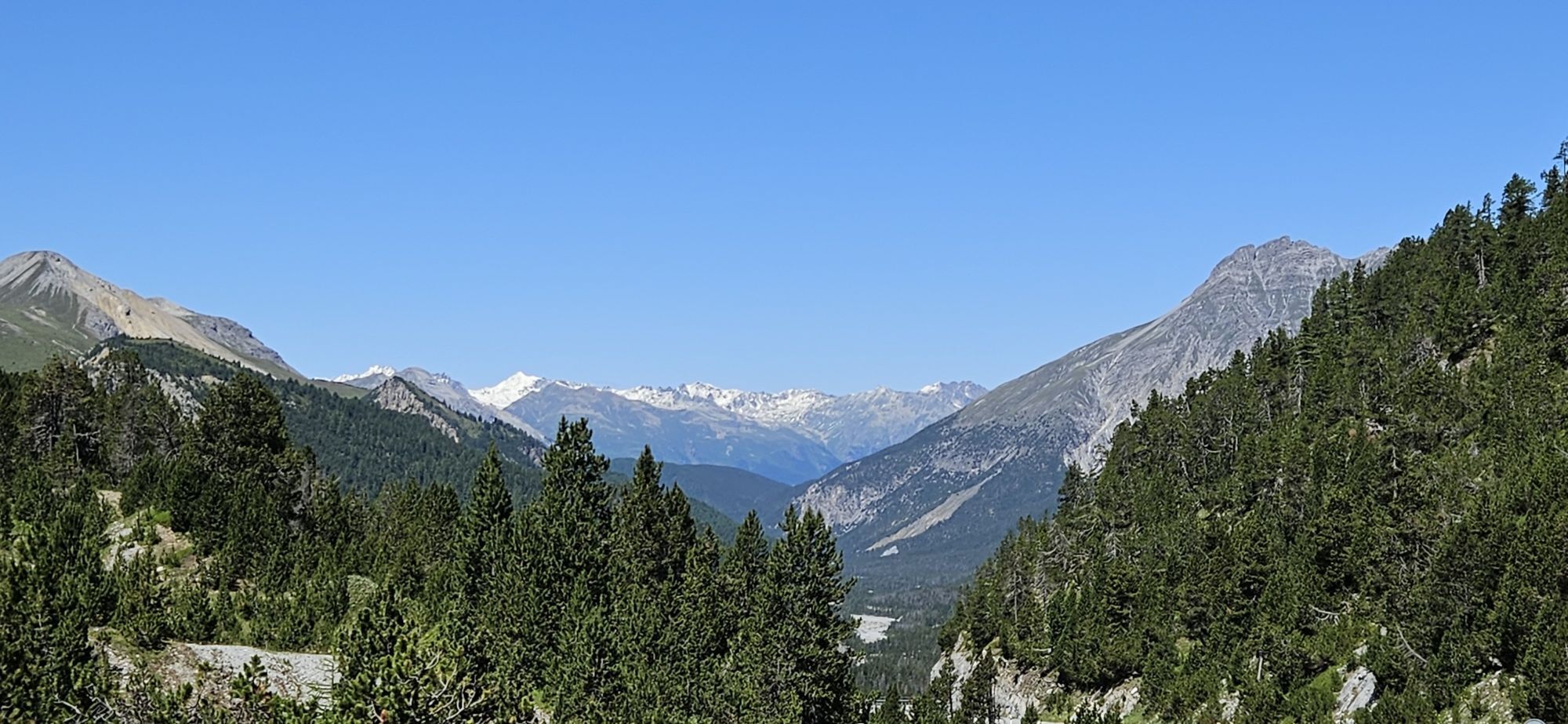
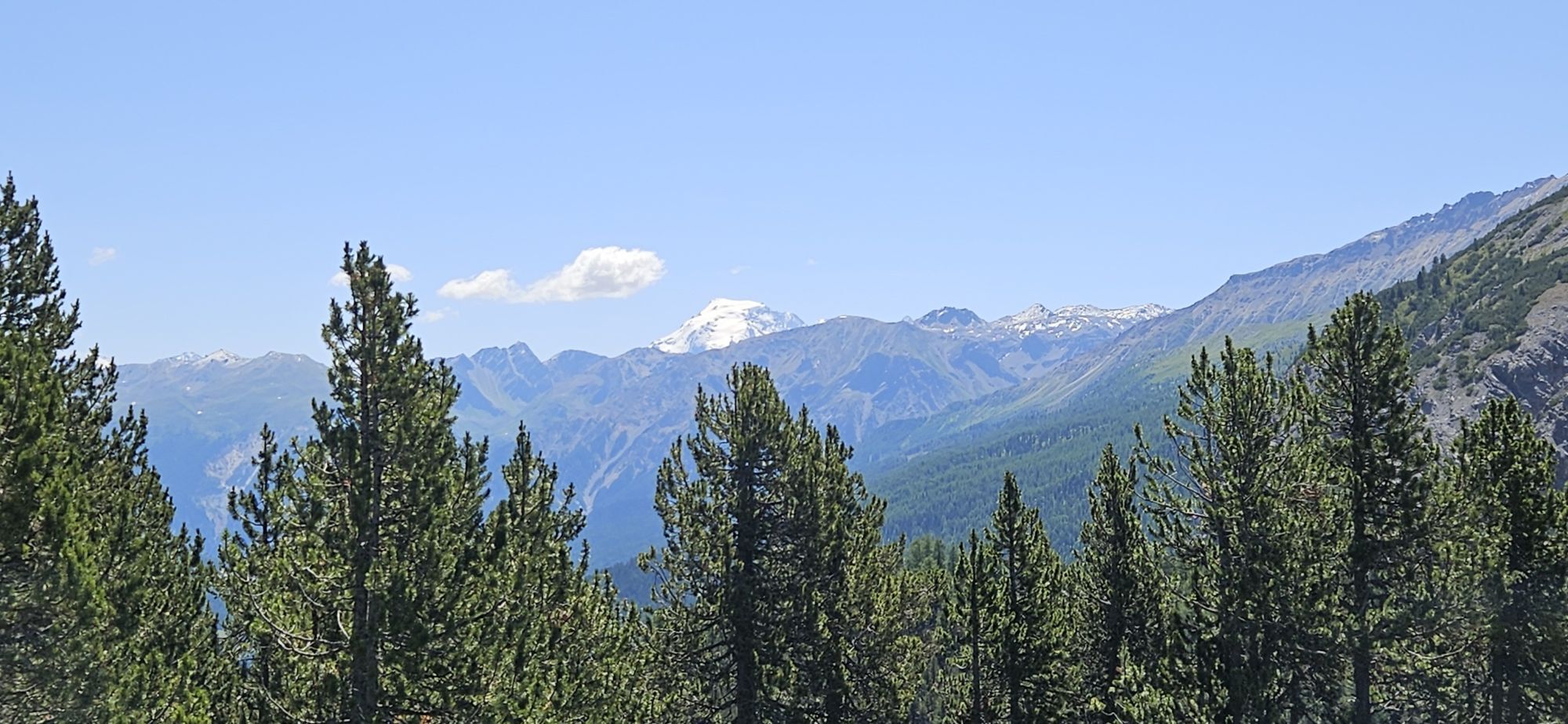
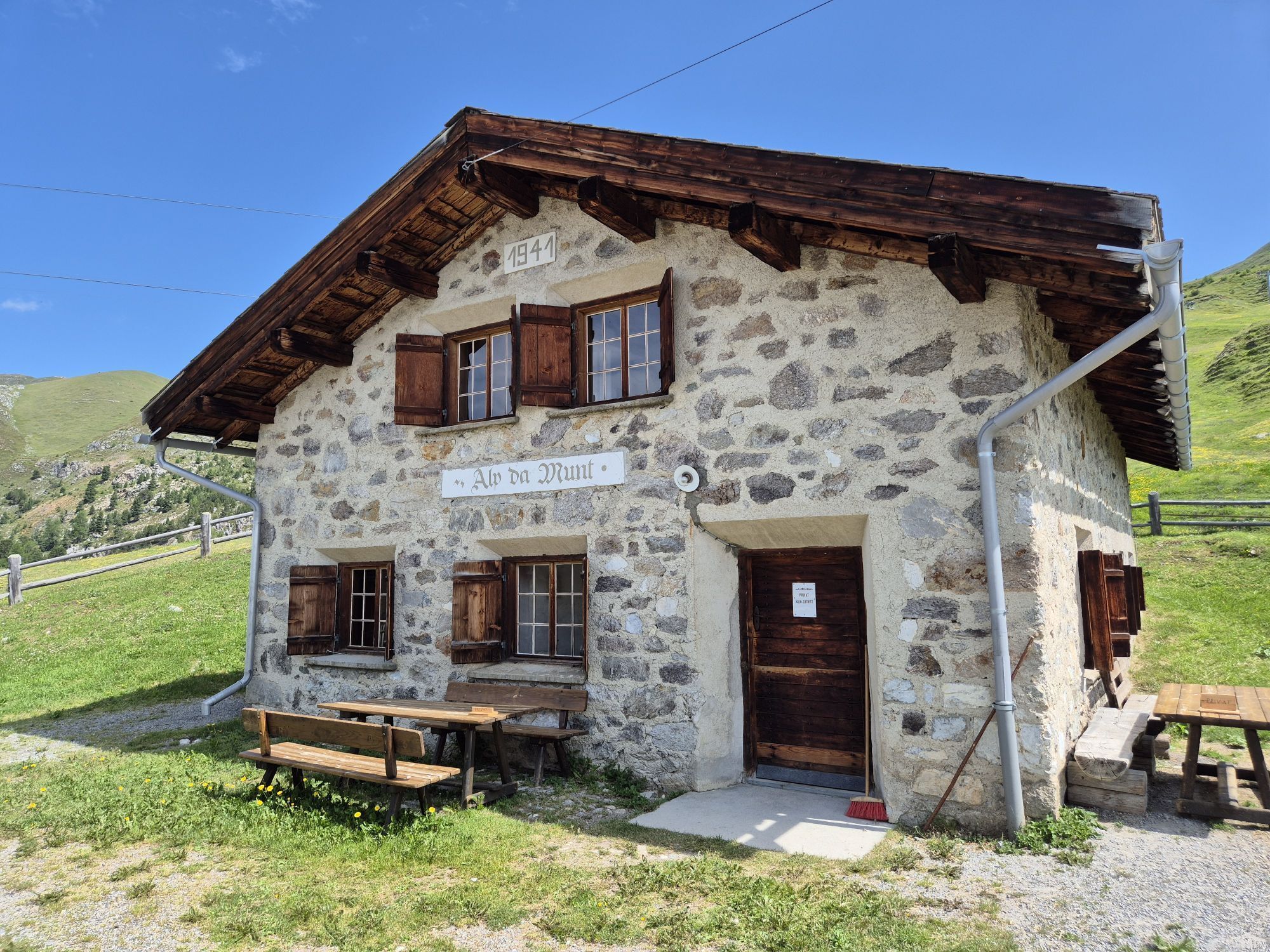
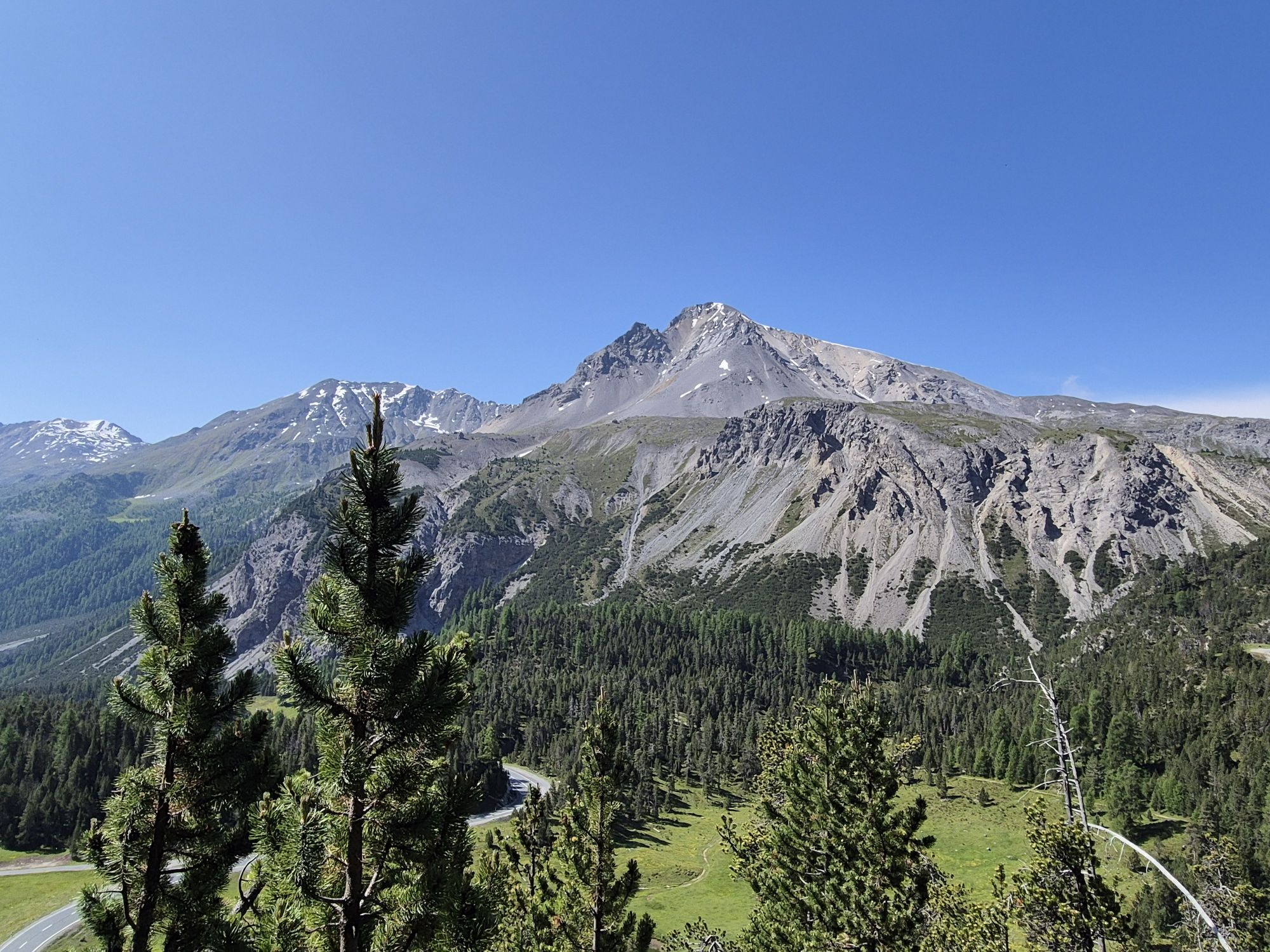
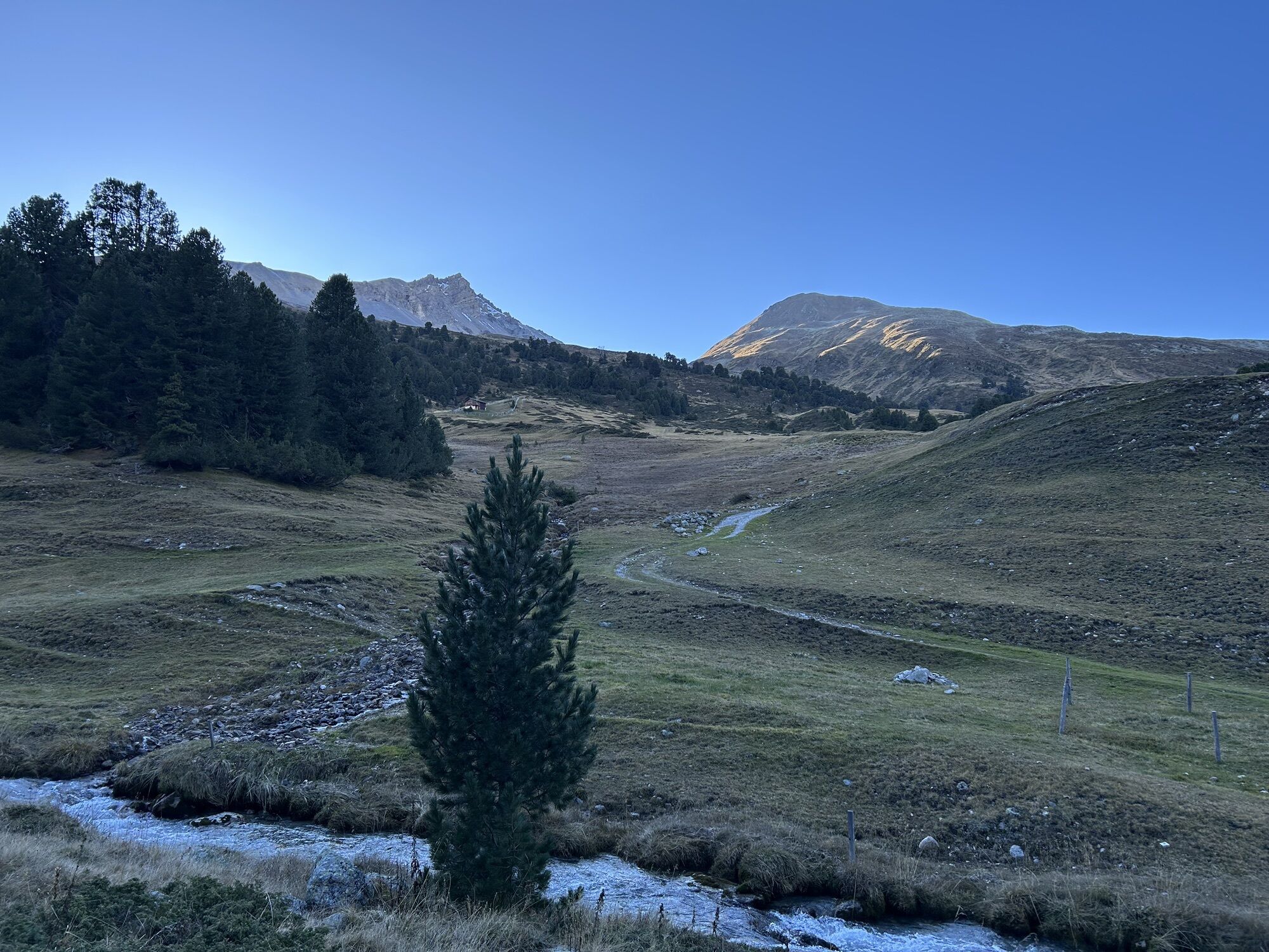
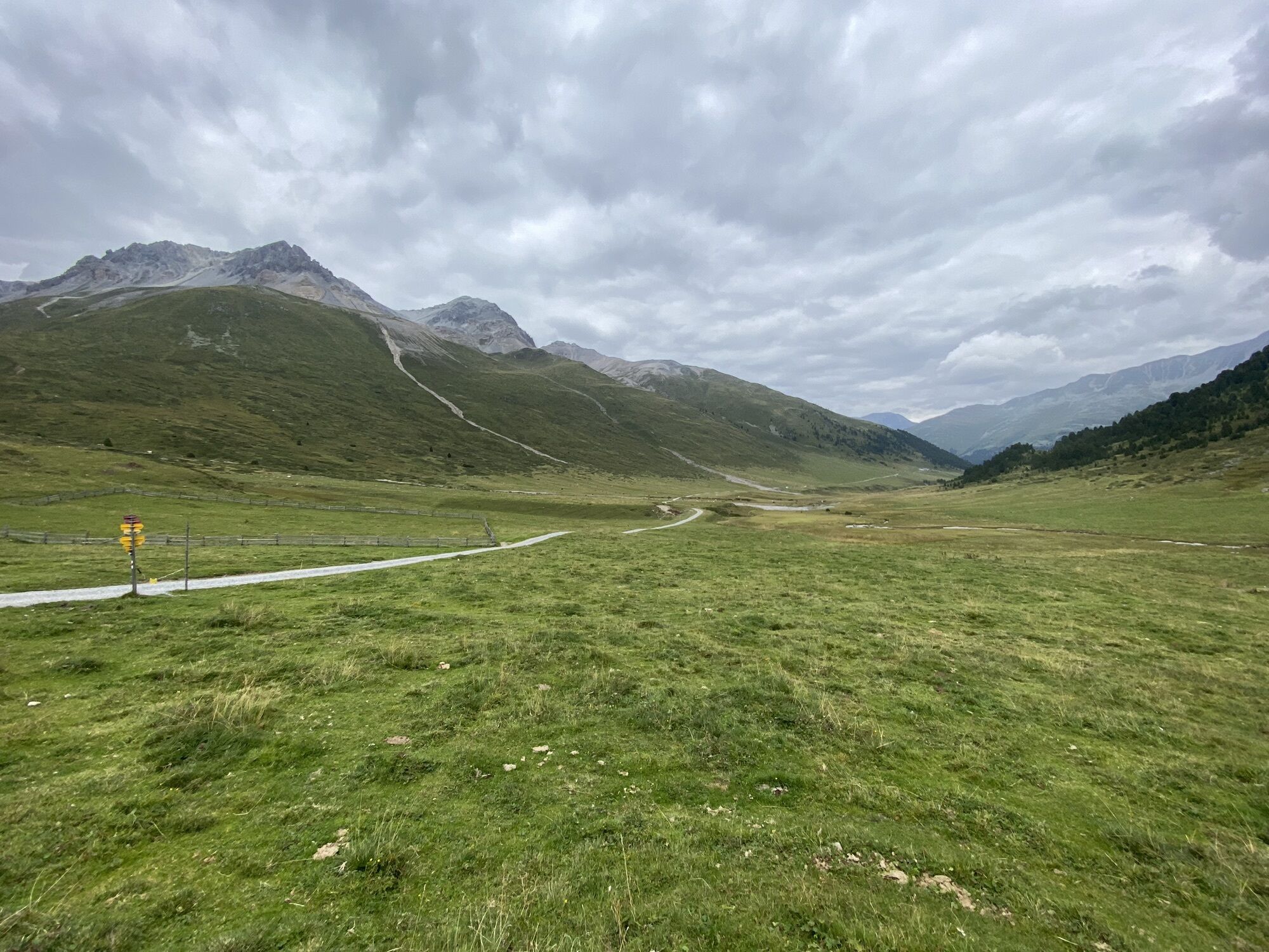
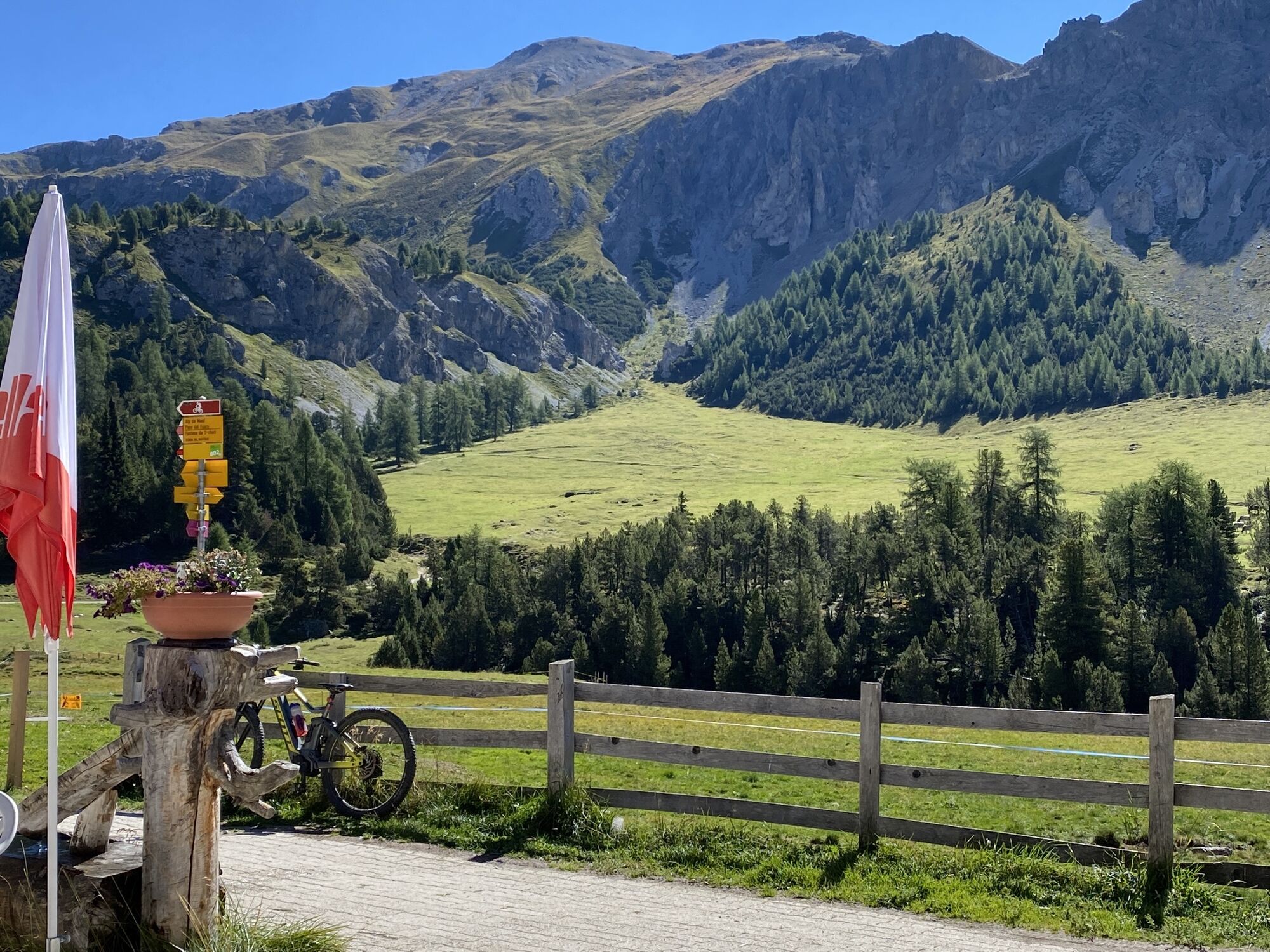
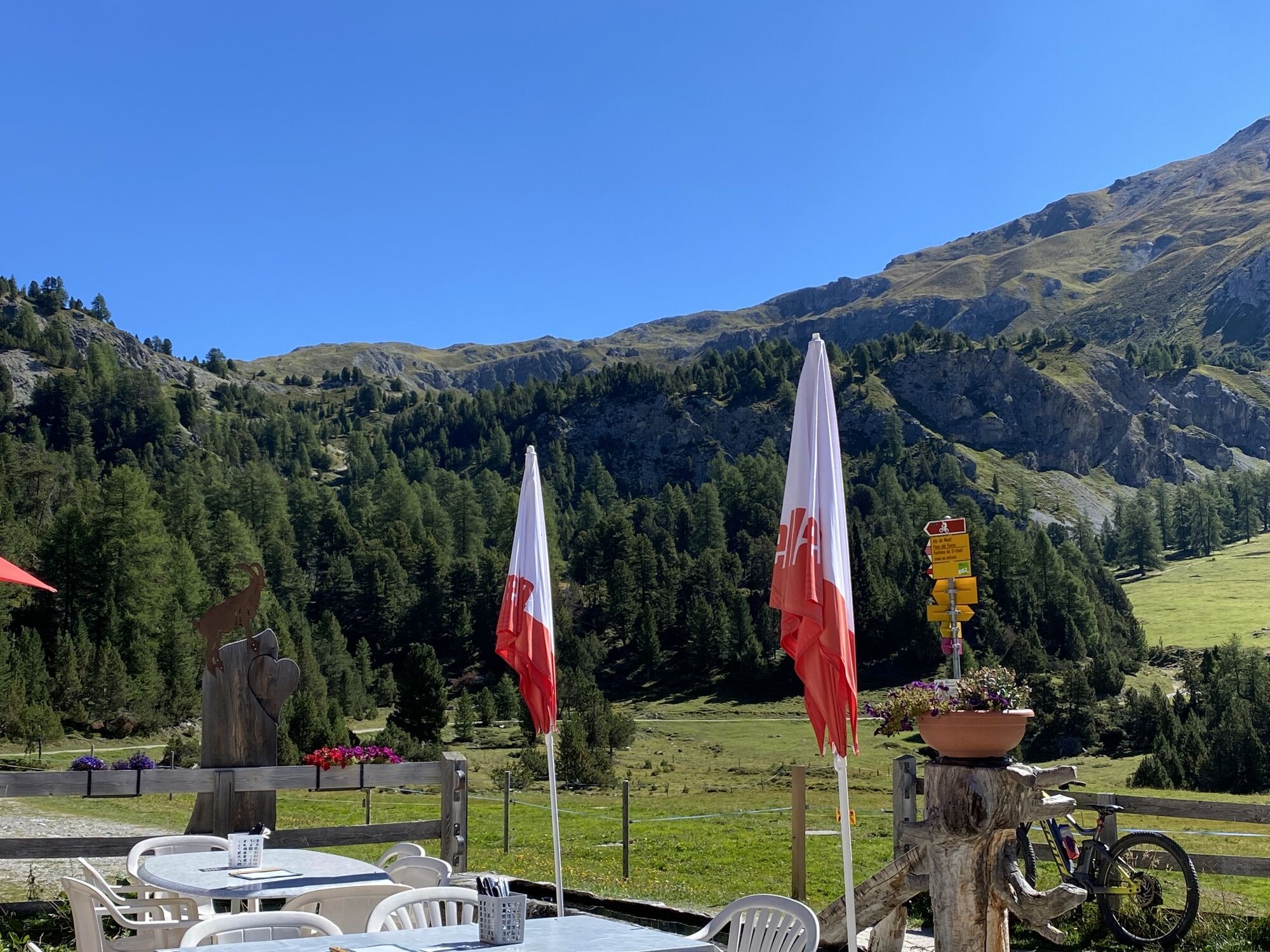
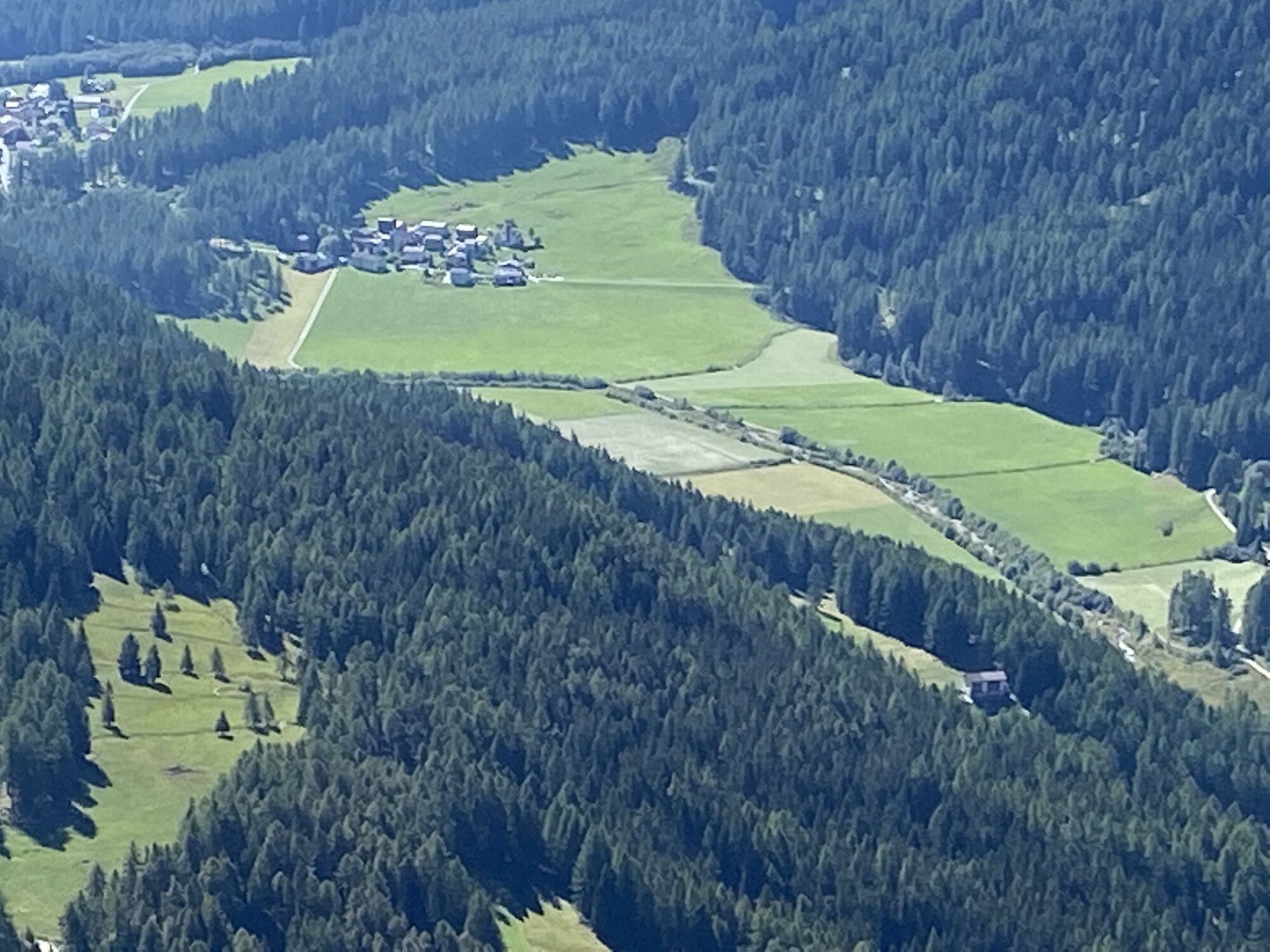
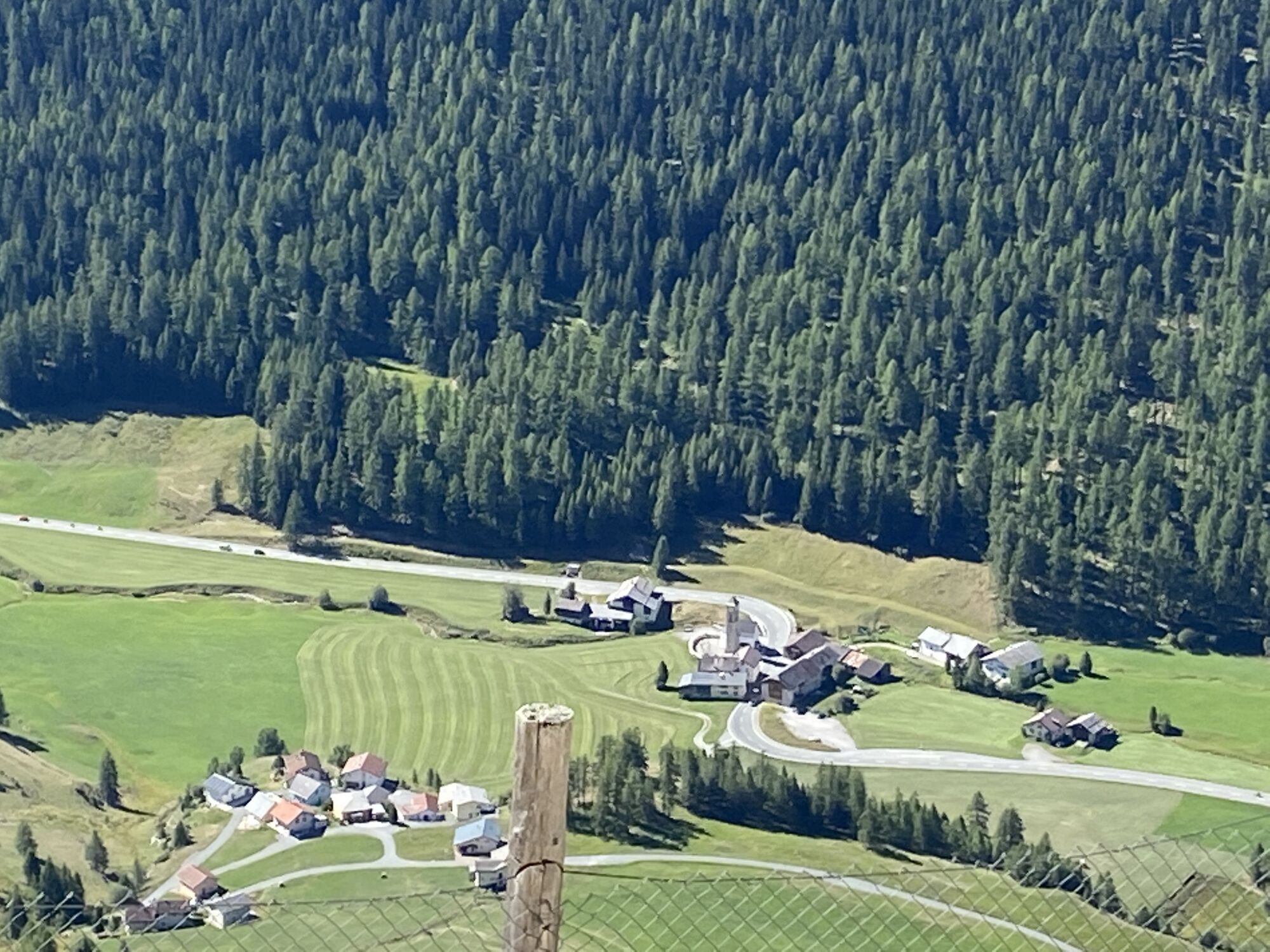
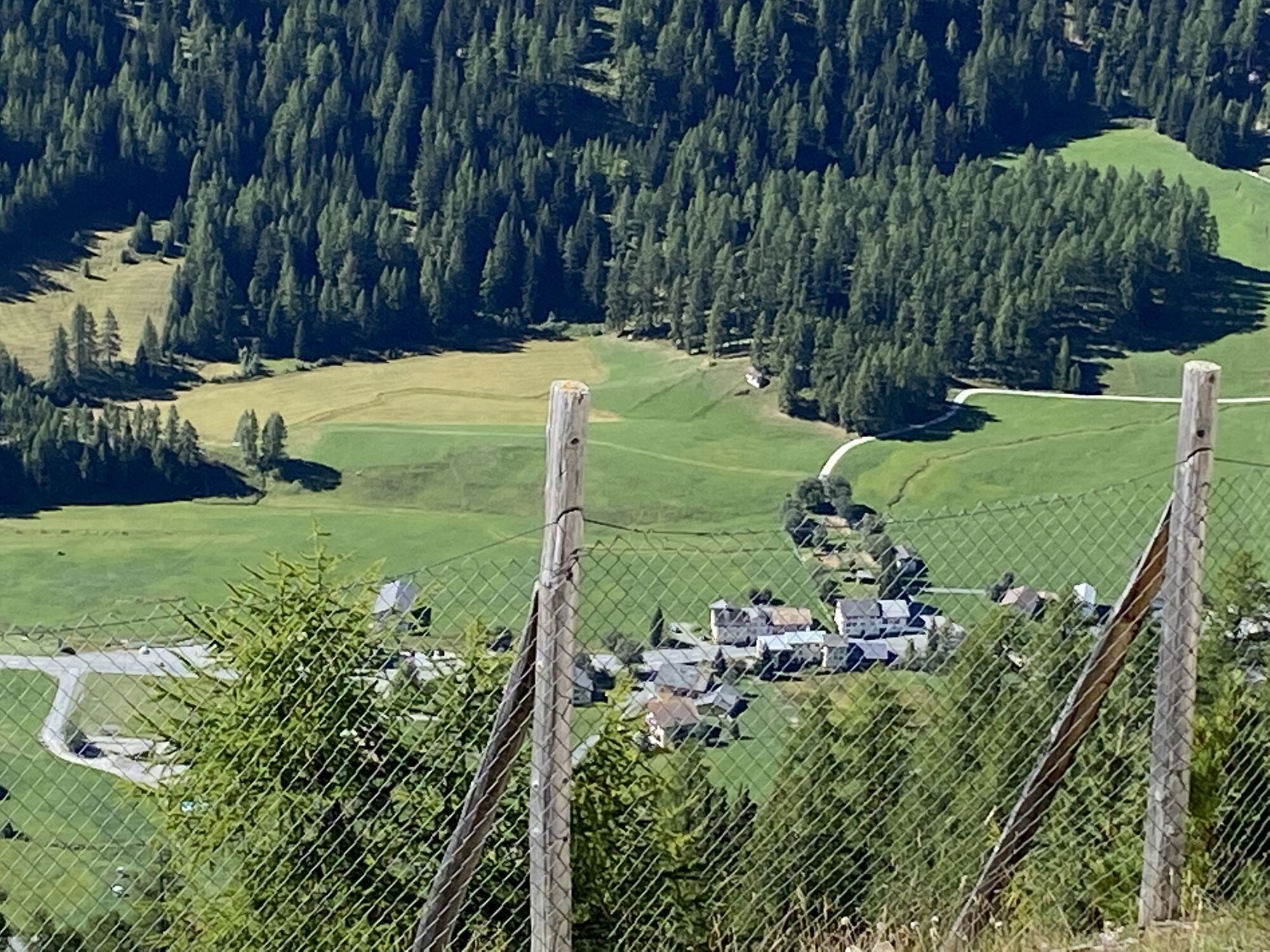

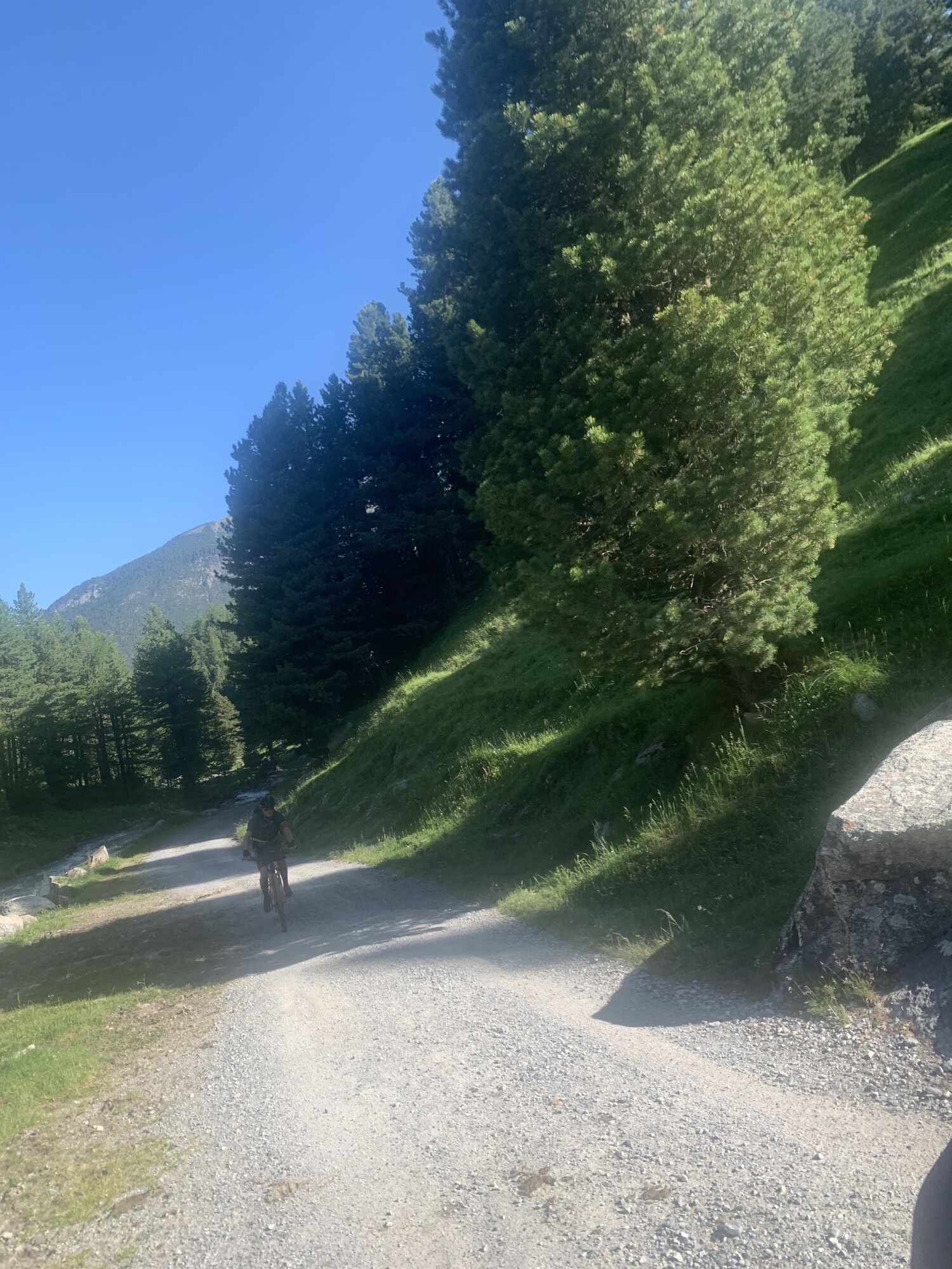
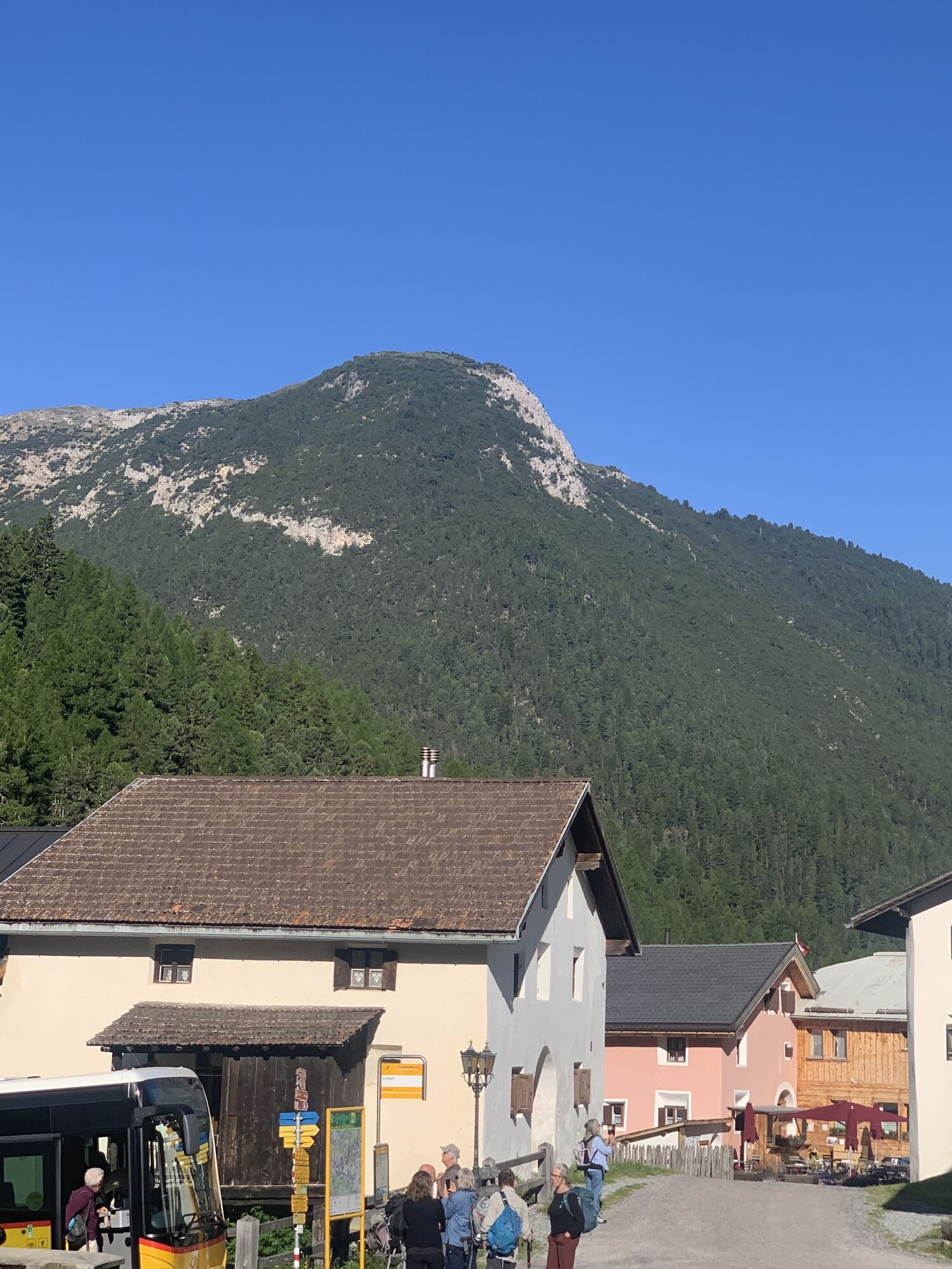
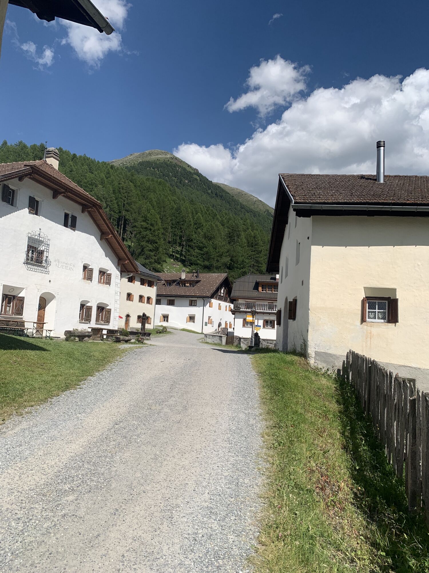
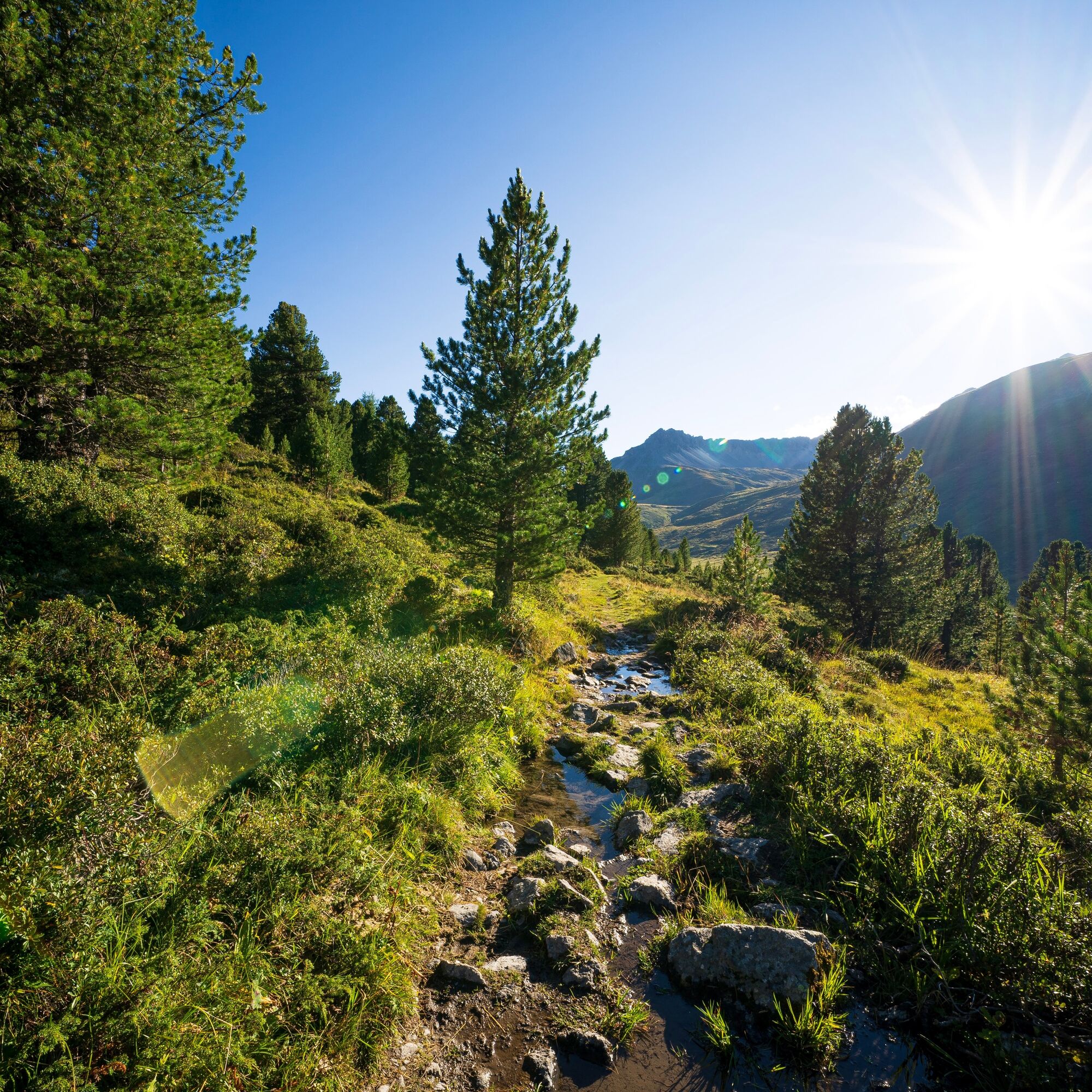
You hike through the picturesque Val S-charl past the Alp Astras up to the Pass da Costainas. From there, the route runs over the Alp Champatsch past the Alp da Munt in the region's small but beautiful...
Highlights:
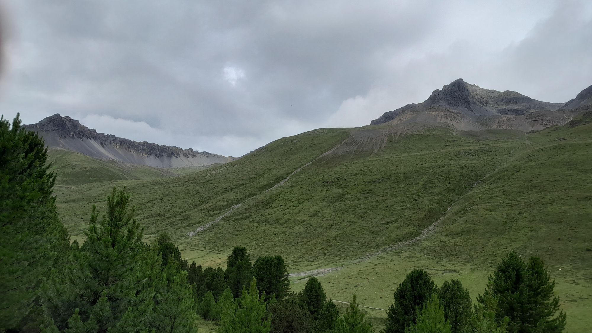
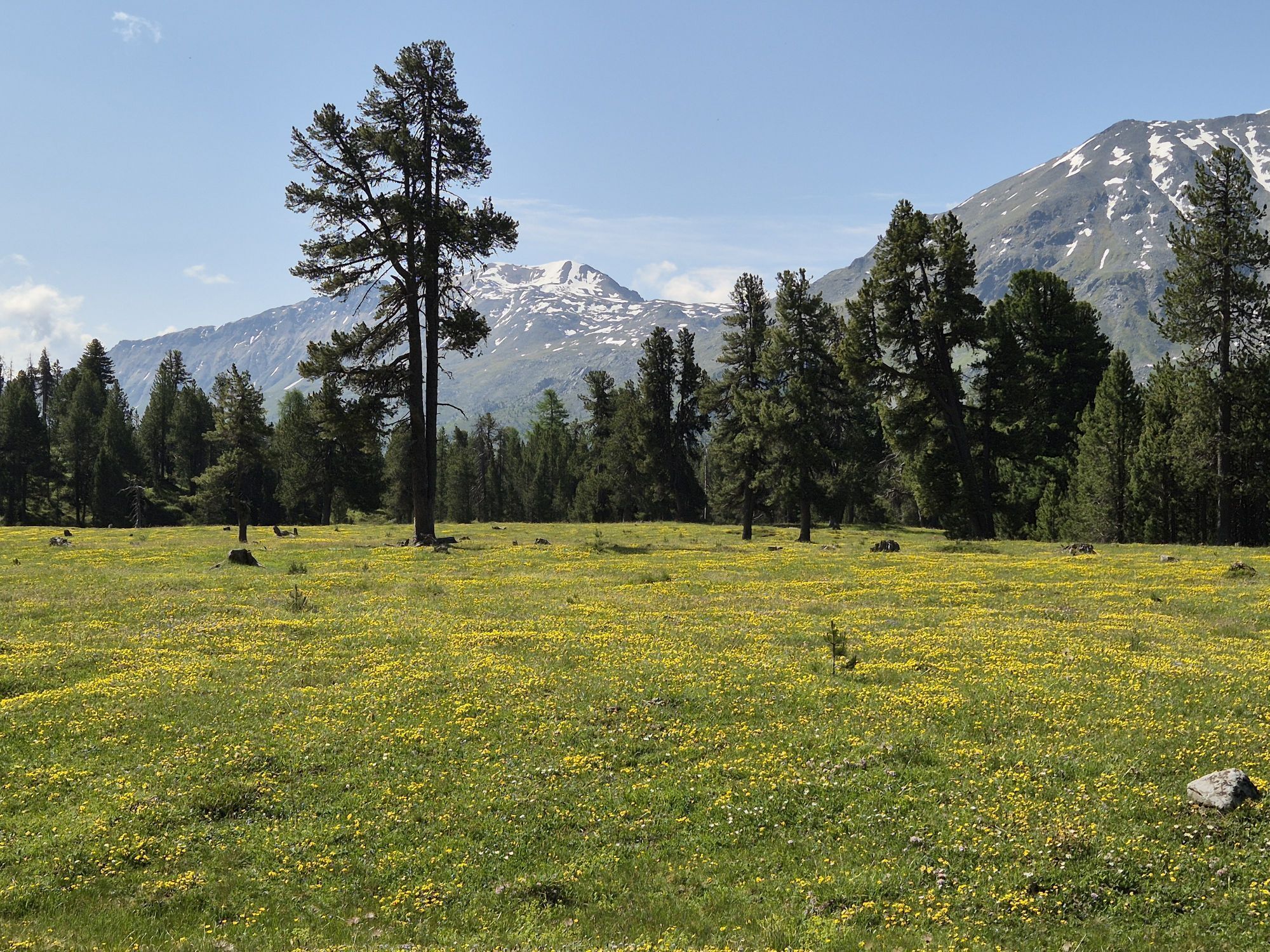
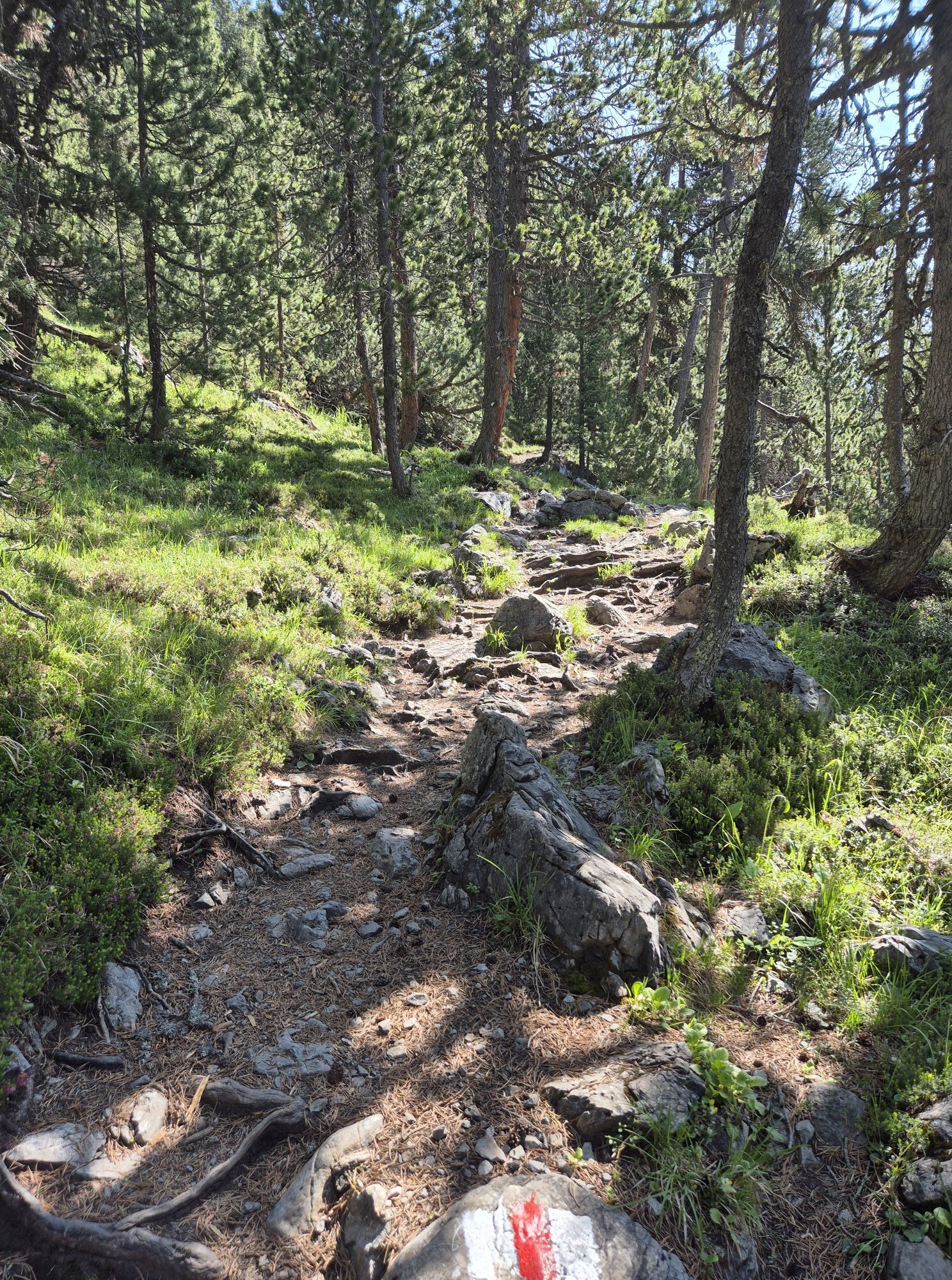
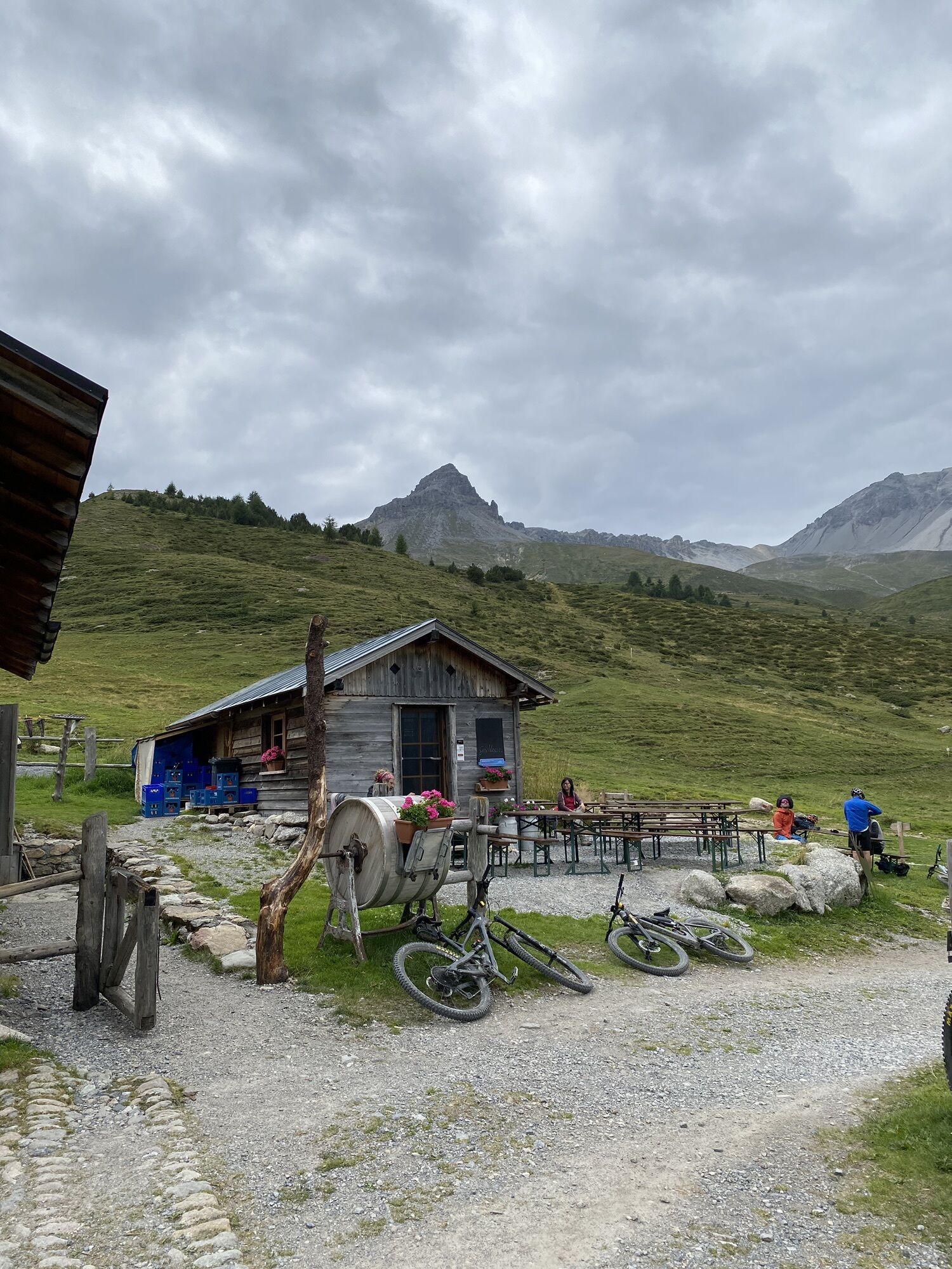
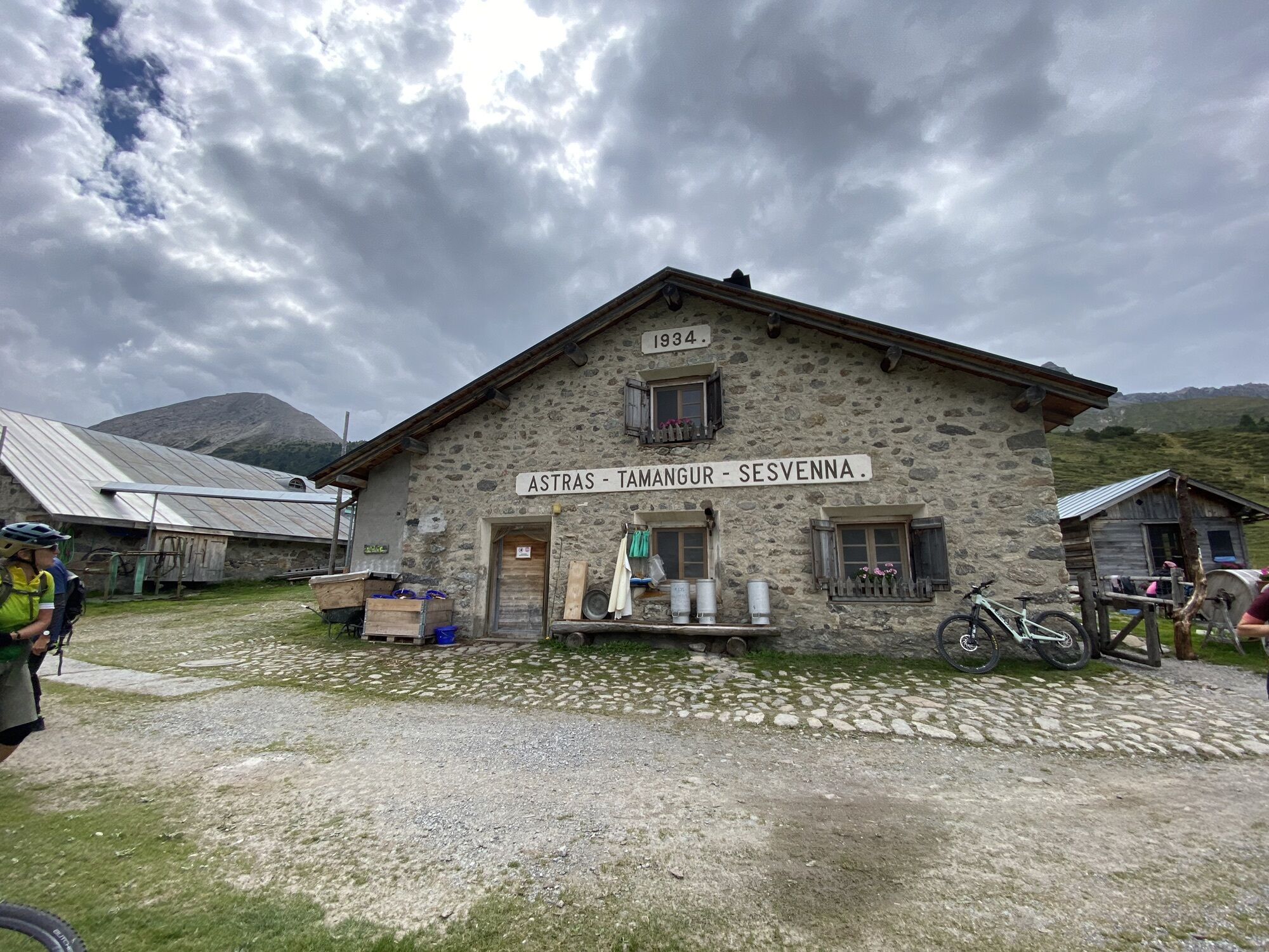
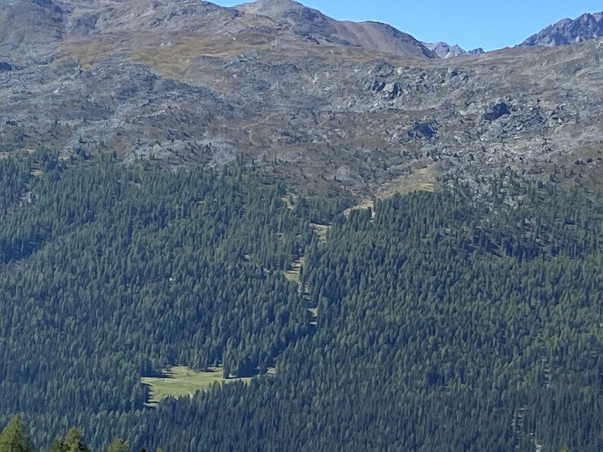
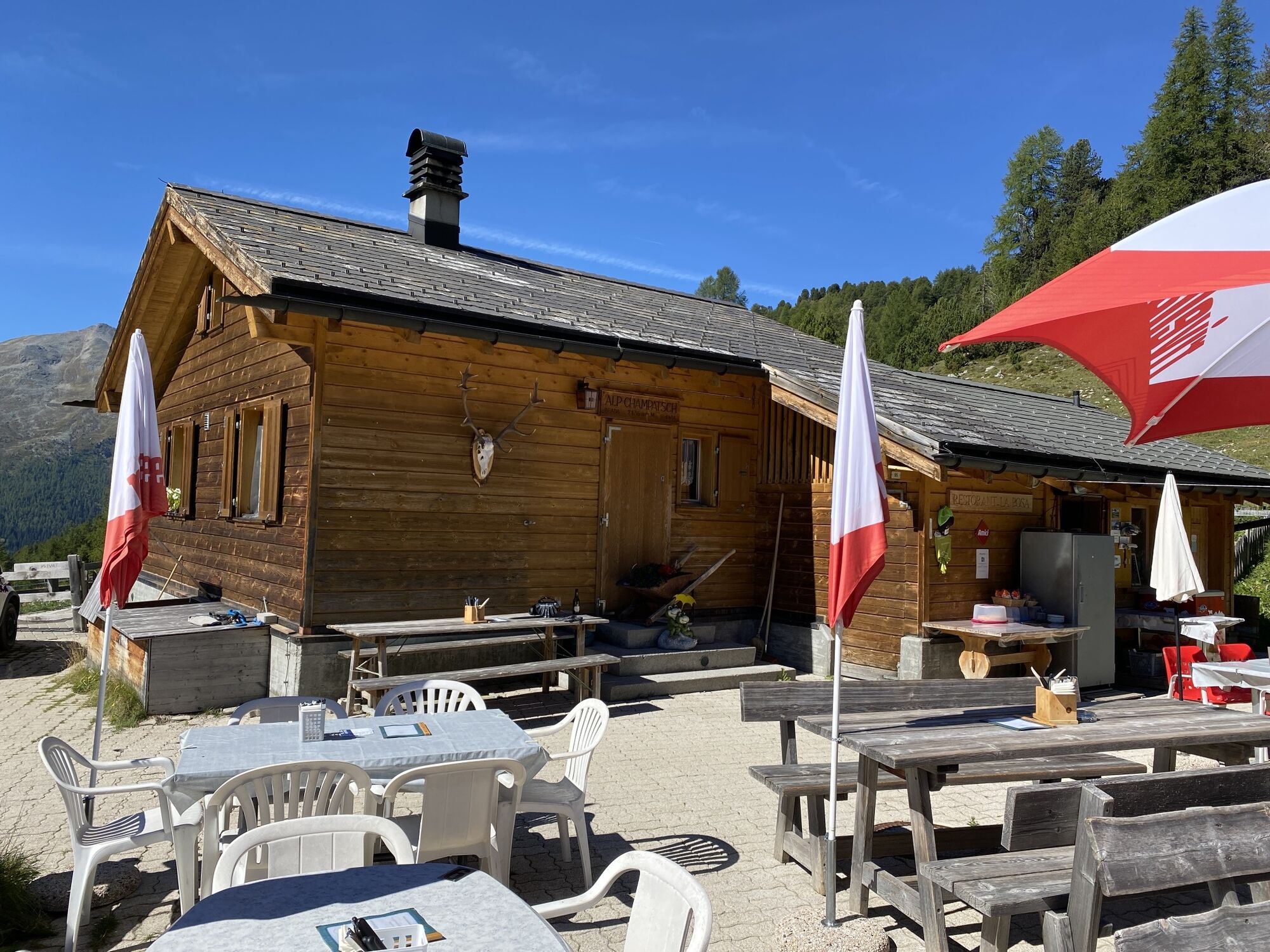
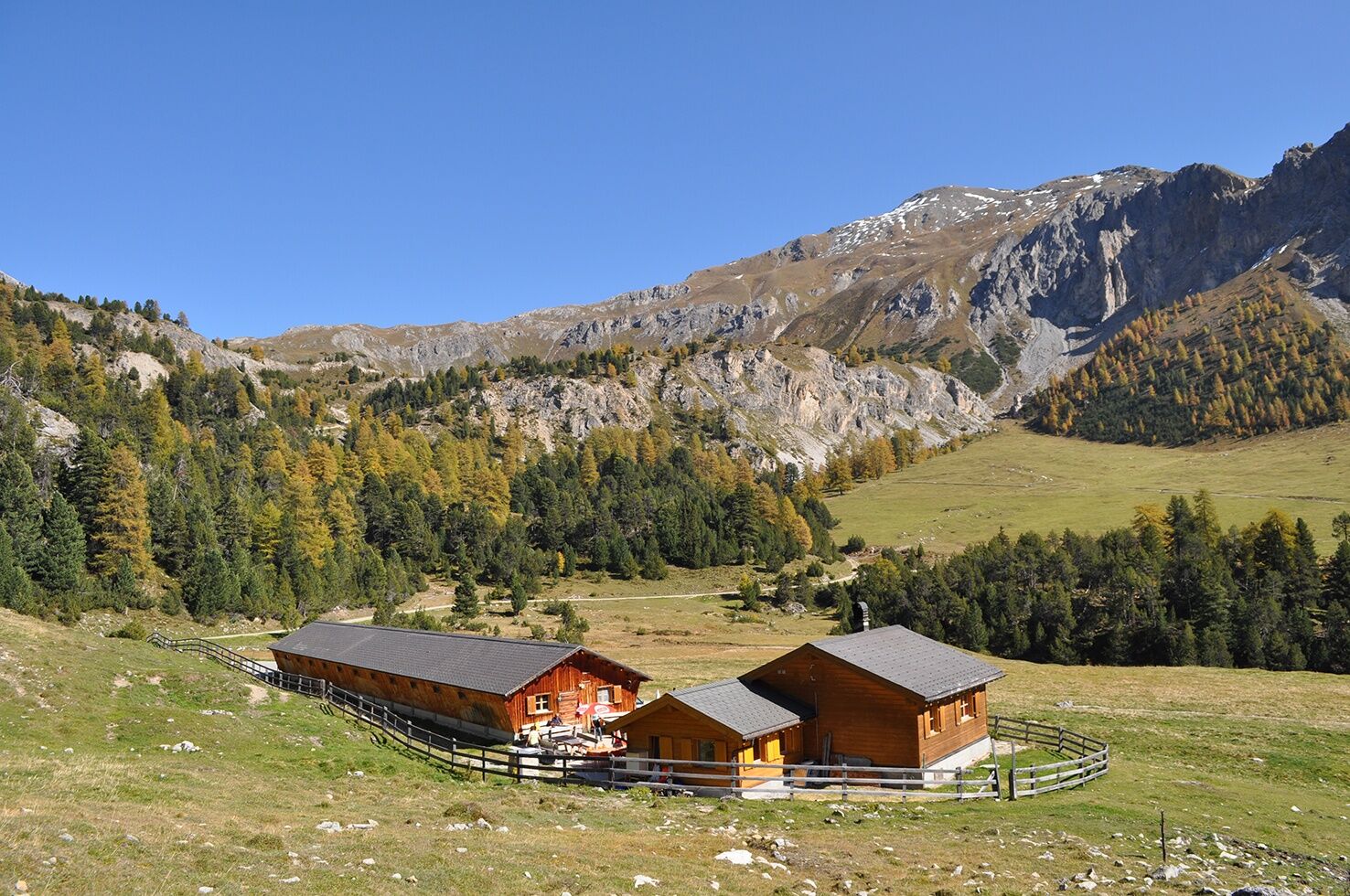
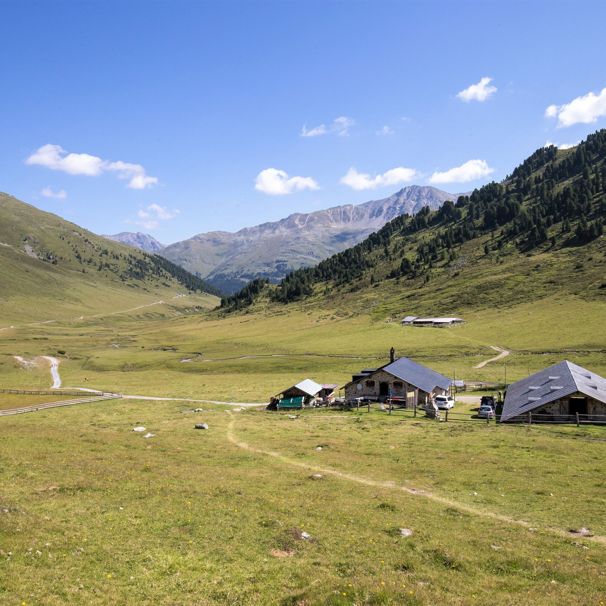
The hike leads to Tamangur and runs through the beautiful and highest Swiss stone pine forest in Europe - God da Tamangur. Alp Champatsch is a cattle farm above Lü. It offers a wide range of hot and cold drinks and food.

Good footwear, rain and sun protection, water bottle, food, first-aid kit.
Emergency call:
144 Emergency call, first aid
1414 Mountain rescue REGA
112 International emergency call
On high sections, snowfields are possible until the summer months.
Due to the sometimes narrow road conditions, we recommend travelling by post bus.
By Rhaetian Railway (from Chur, Landquart/Prättigau or from the Upper Engadine) hourly to Scuol-Tarasp station.
By PostBus (from Martina, Sent, Ftan or Tarasp) hourly service to Scuol-Tarasp station.
Continue by PostBus with hourly connection to the PostBus stop S-charl
Paid parking available at the entrance to the village
route leads through Italy, carry identification.
Route leads through Italy, carry identity cards.
Webové kamery z prohlídky

Oblíbené prohlídky v okolí
-
5.0
Mountain restaurant Plantaptasch (without Lift)
středníTuristika 3.42 km -
3.6
Easy hiking rout to the top of the Watles Moutain (2.550 m)
středníTuristika 2.35 km -
4.5
Rundwanderweg Wattles und Sesvenna
světloTuristika 16.4 km -
3.4
Sta.Maria, Prà da Vau - Lai da Rims - Alp Sot - Prà da Vau
heavyTuristika 14.7 km -
4.0
National Park: Margunet
světloTuristika 7.76 km -
4.5
Tarasp Fontana – Sparsels – Lai Nair (circular route)
světloTuristika 7.67 km -
4.8
National Park: Grimmels (circular hike)
světloTuristika 6 km -
4.7
Bergwanderung Schlinig -Seswenahütte
středníTuristika 13.6 km -
5.0
San Jon – Chamonna Lischana (return)
středníTuristika 12.0 km -
5.0
National Park: Mot Tavrü
středníTuristika 12.0 km
Pěší turistika a stopování


Nenechte si ujít nabídky a inspiraci pro vaši příští dovolenou
Vaše e-mailová adresa byl přidán do poštovního seznamu.