


National Park Panorama Trail Stage 1: Sur en – Sesvenna hut [SwitzerlandMobility No. 45]
Úroveň obtížnosti: T2
Fotografie našich uživatelů
-

 © Pellnmadl unterwegs??️Vytvořeno dne 26.10.2025
 -
 © Pellnmadl unterwegs??️Vytvořeno dne 26.10.2025
 -
 © Pellnmadl unterwegs??️Vytvořeno dne 26.10.2025
 -
 © RobertEVytvořeno dne 11.08.2025
 -

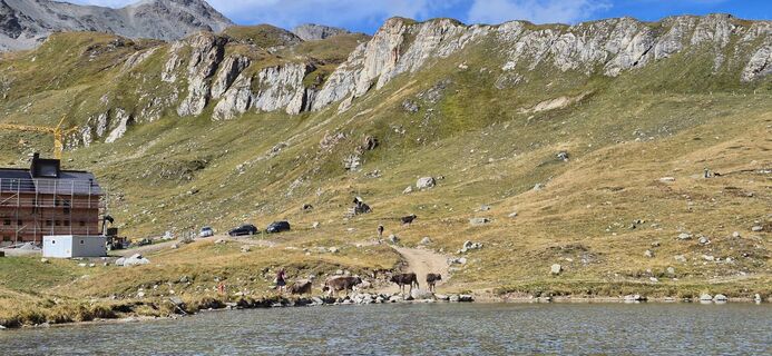
 © Sergio FontanaVytvořeno dne 20.07.2025
 -
 © Sergio FontanaVytvořeno dne 20.07.2025
 -
 © Sergio FontanaVytvořeno dne 20.07.2025
 -
 © Sergio FontanaVytvořeno dne 20.07.2025
 -
 © Sergio FontanaVytvořeno dne 20.07.2025
 -

 © HeikeGEVytvořeno dne 11.07.2025
 -
 © HeikeGEVytvořeno dne 11.07.2025
 -
 © HeikeGEVytvořeno dne 11.07.2025
 -
 © HeikeGEVytvořeno dne 11.07.2025
 -
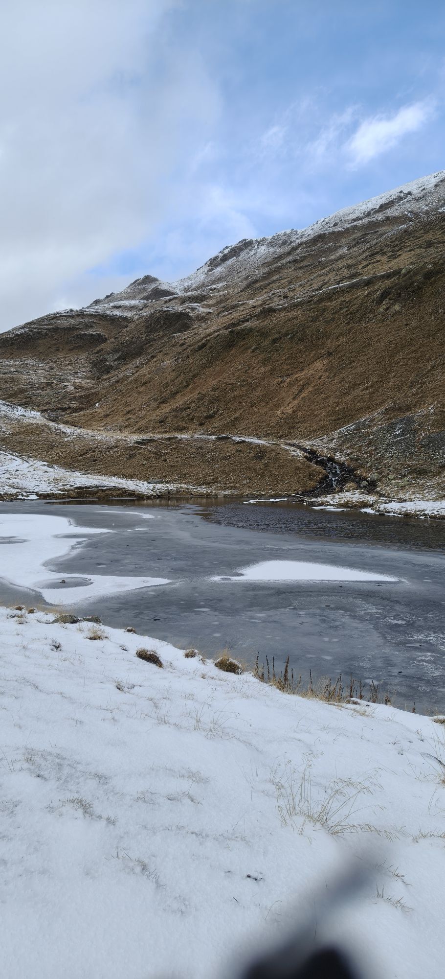
 © HeisiVytvořeno dne 16.09.2025
 -
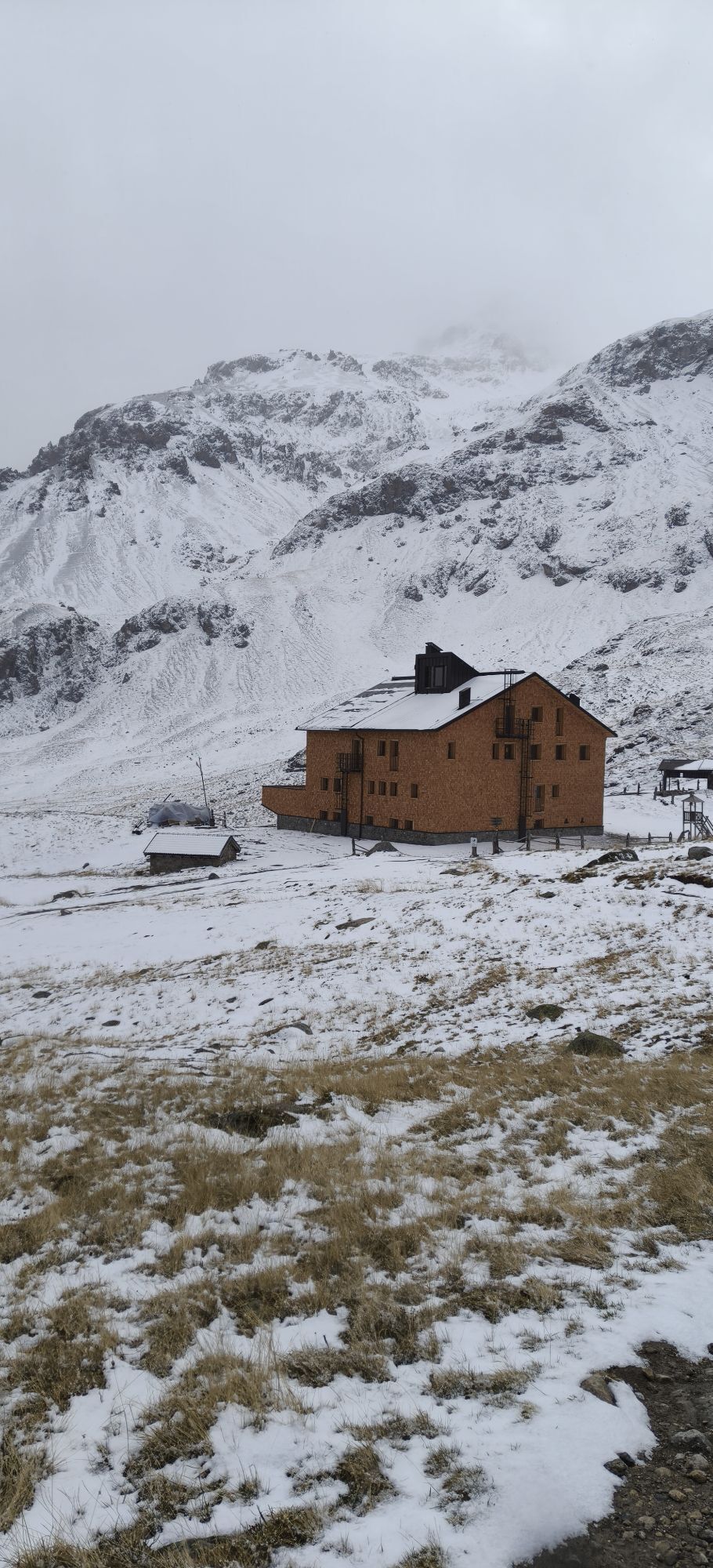
 © HeisiVytvořeno dne 16.09.2025
 -
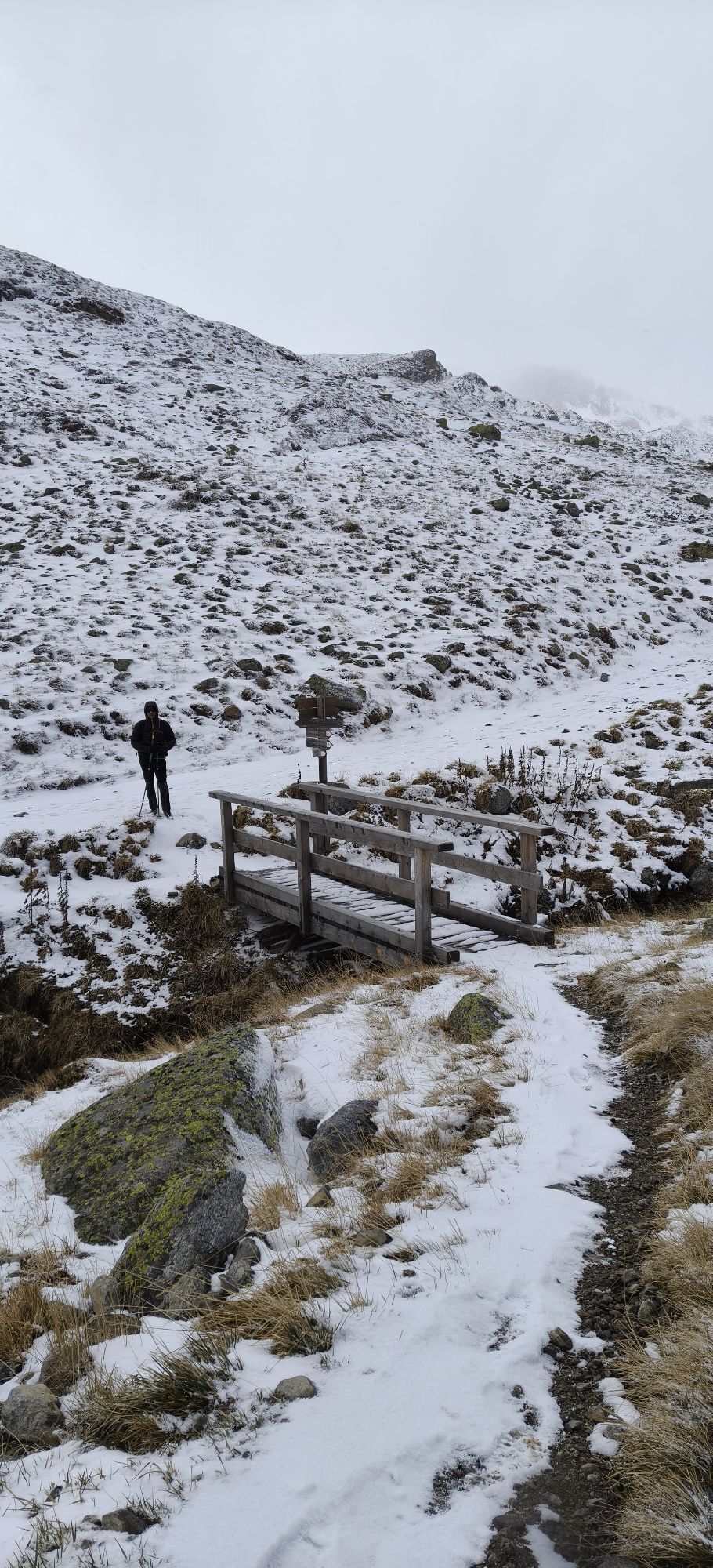
 © HeisiVytvořeno dne 16.09.2025
 -
 © HeisiVytvořeno dne 16.09.2025

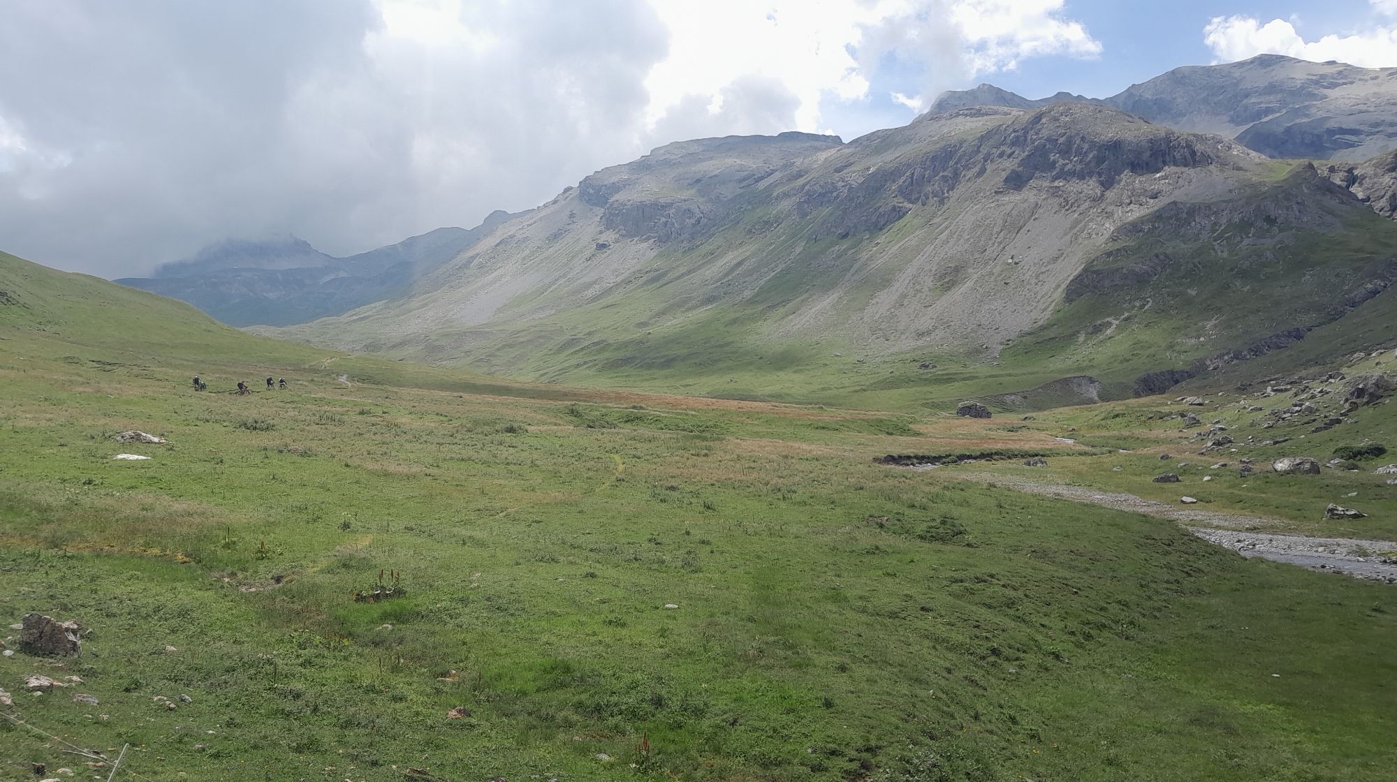
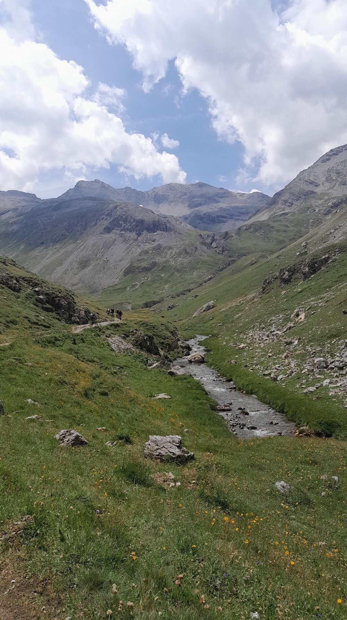
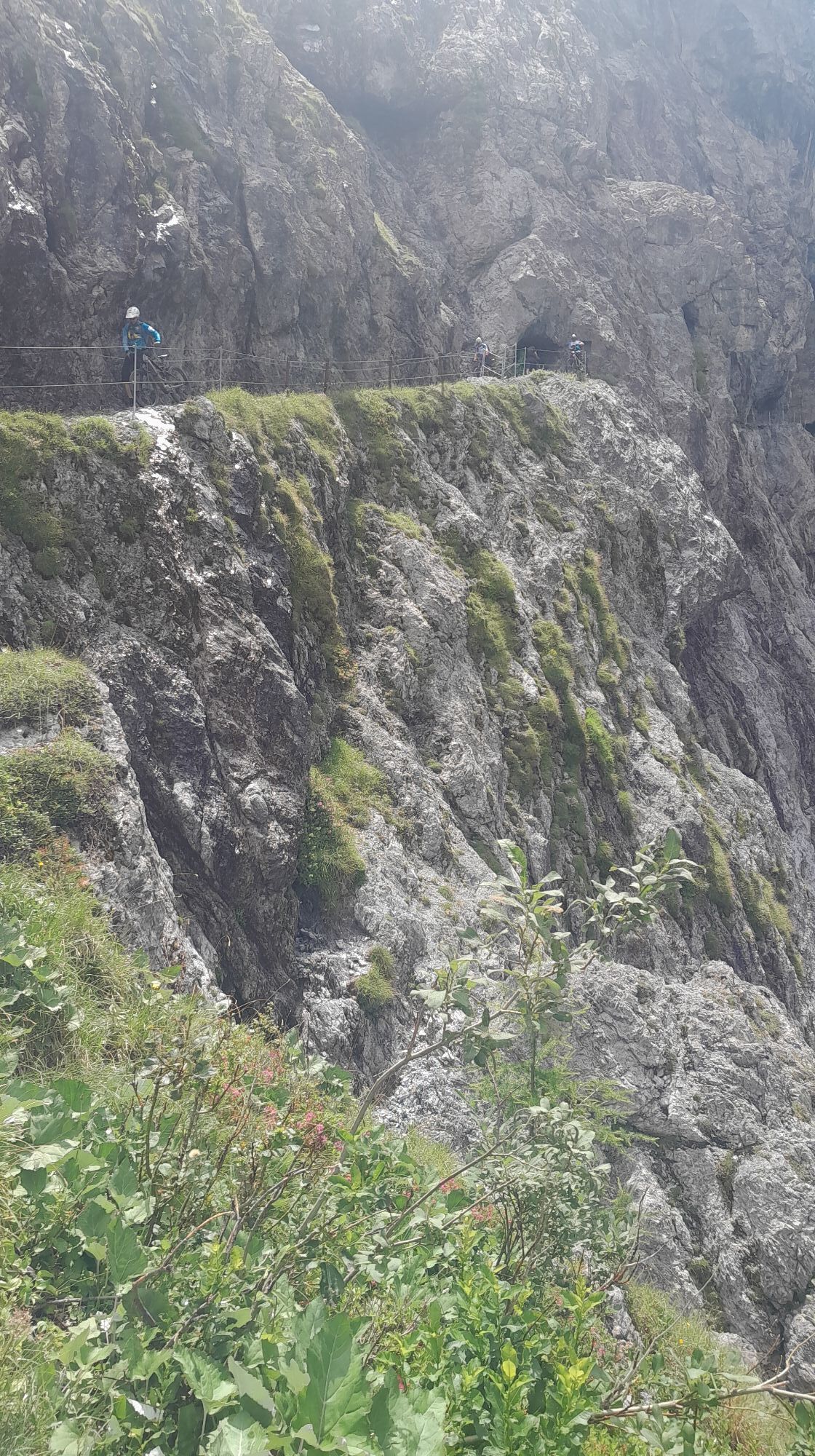
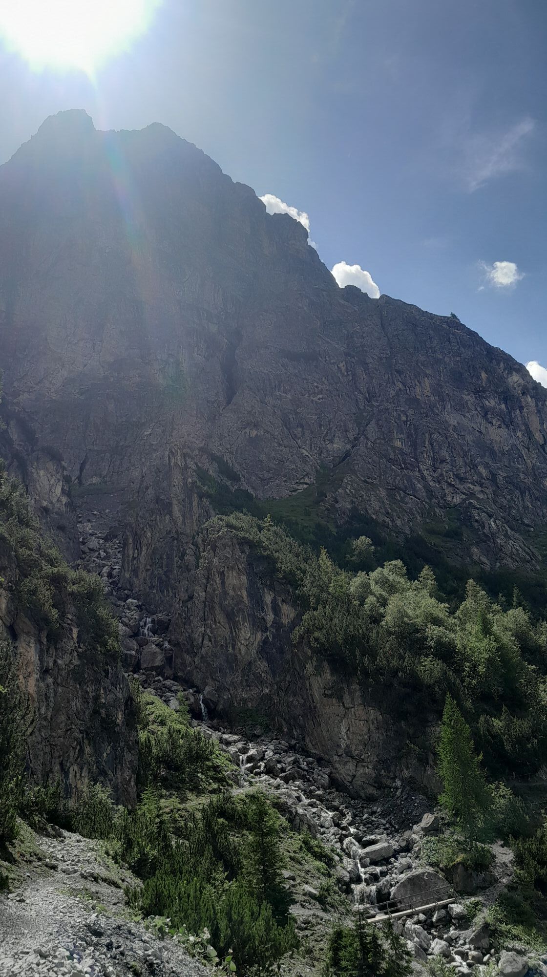


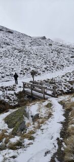
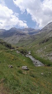
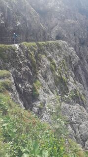
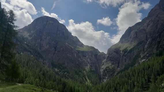
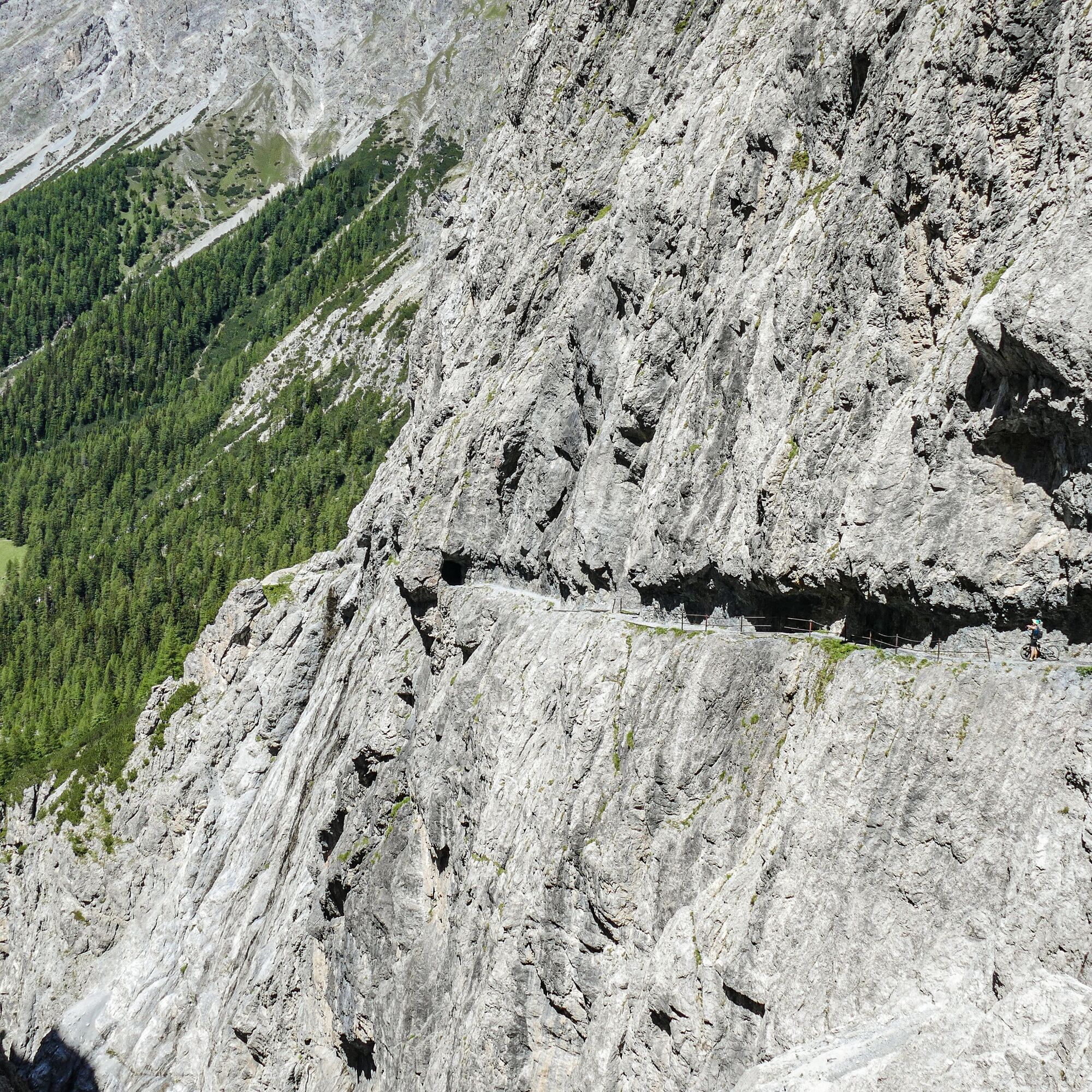
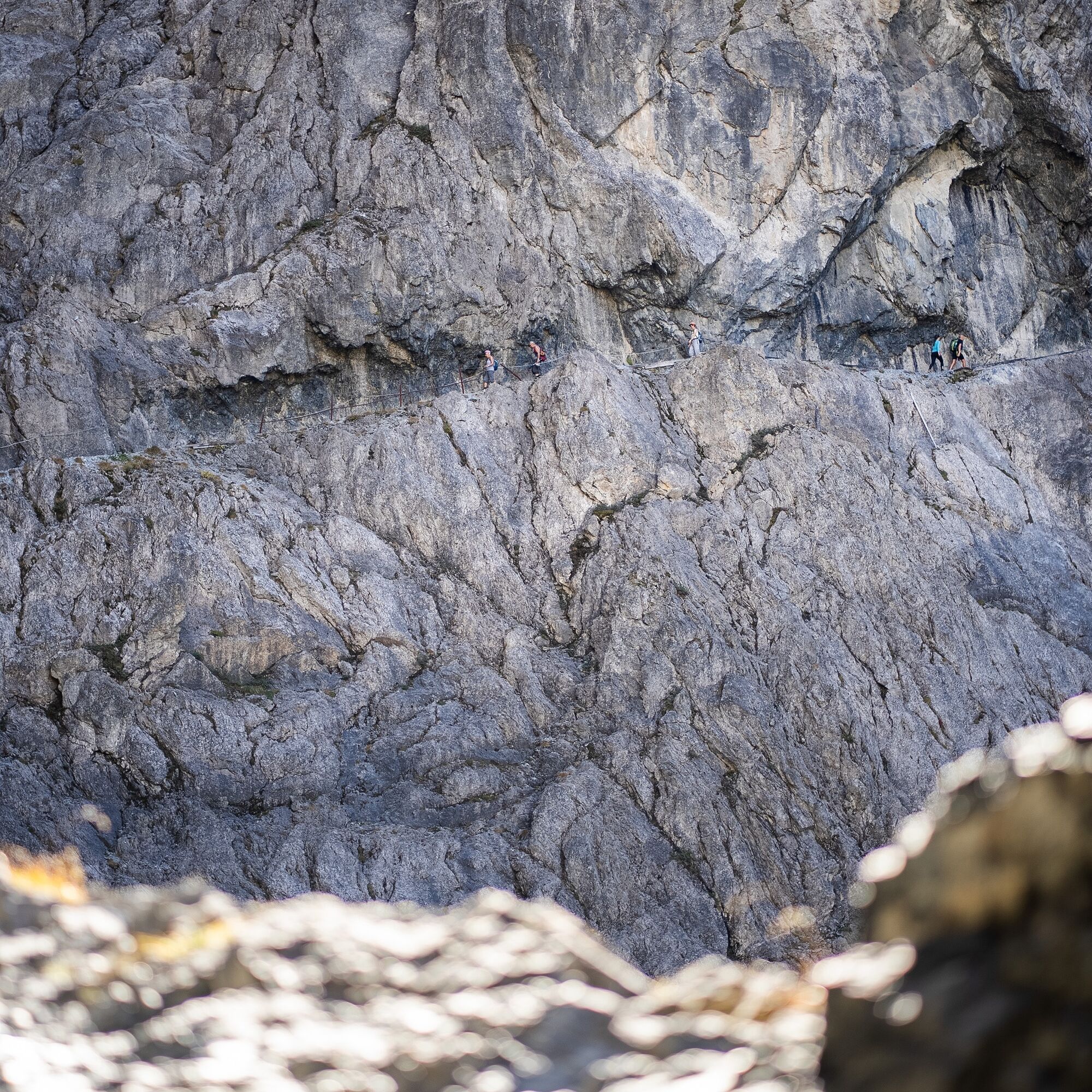
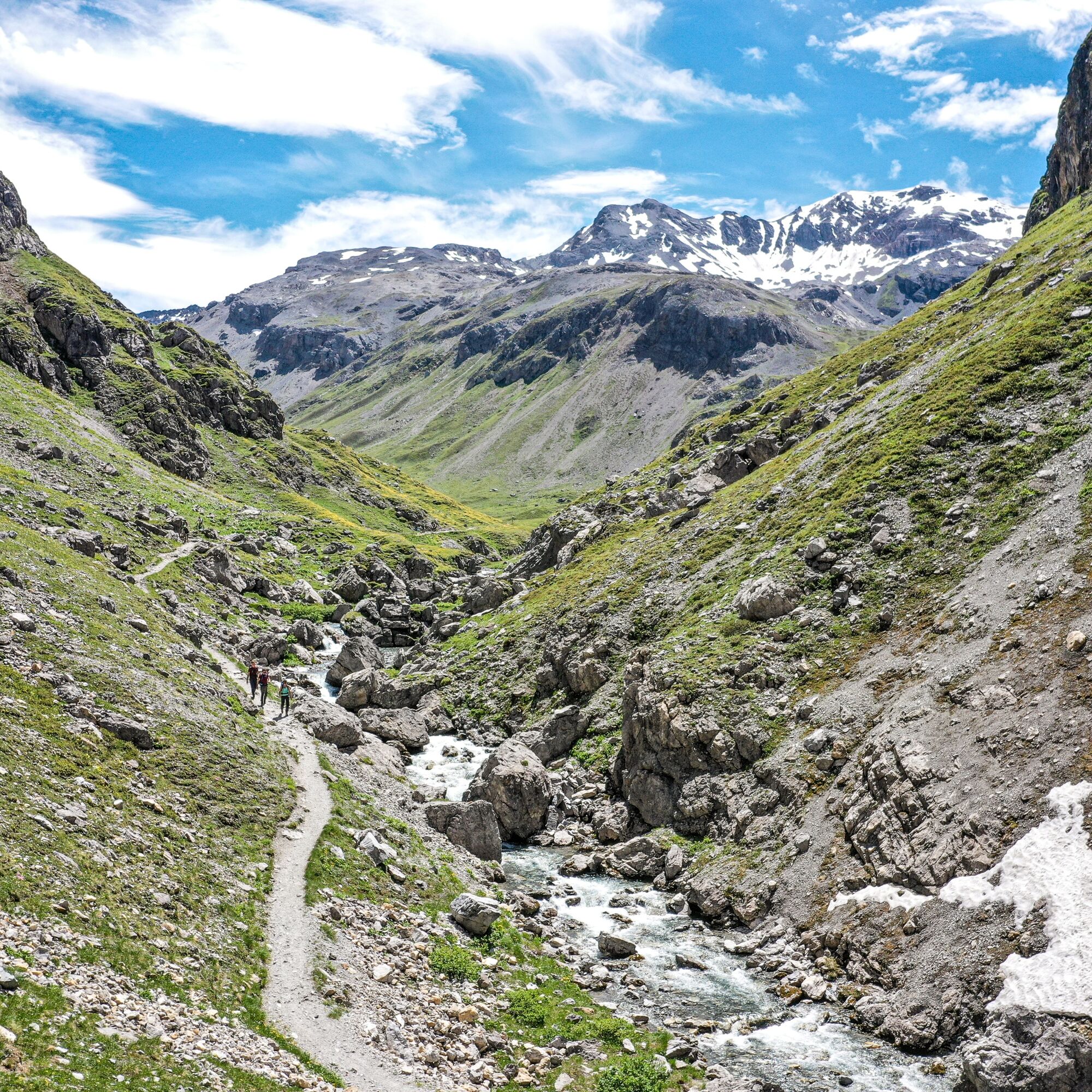
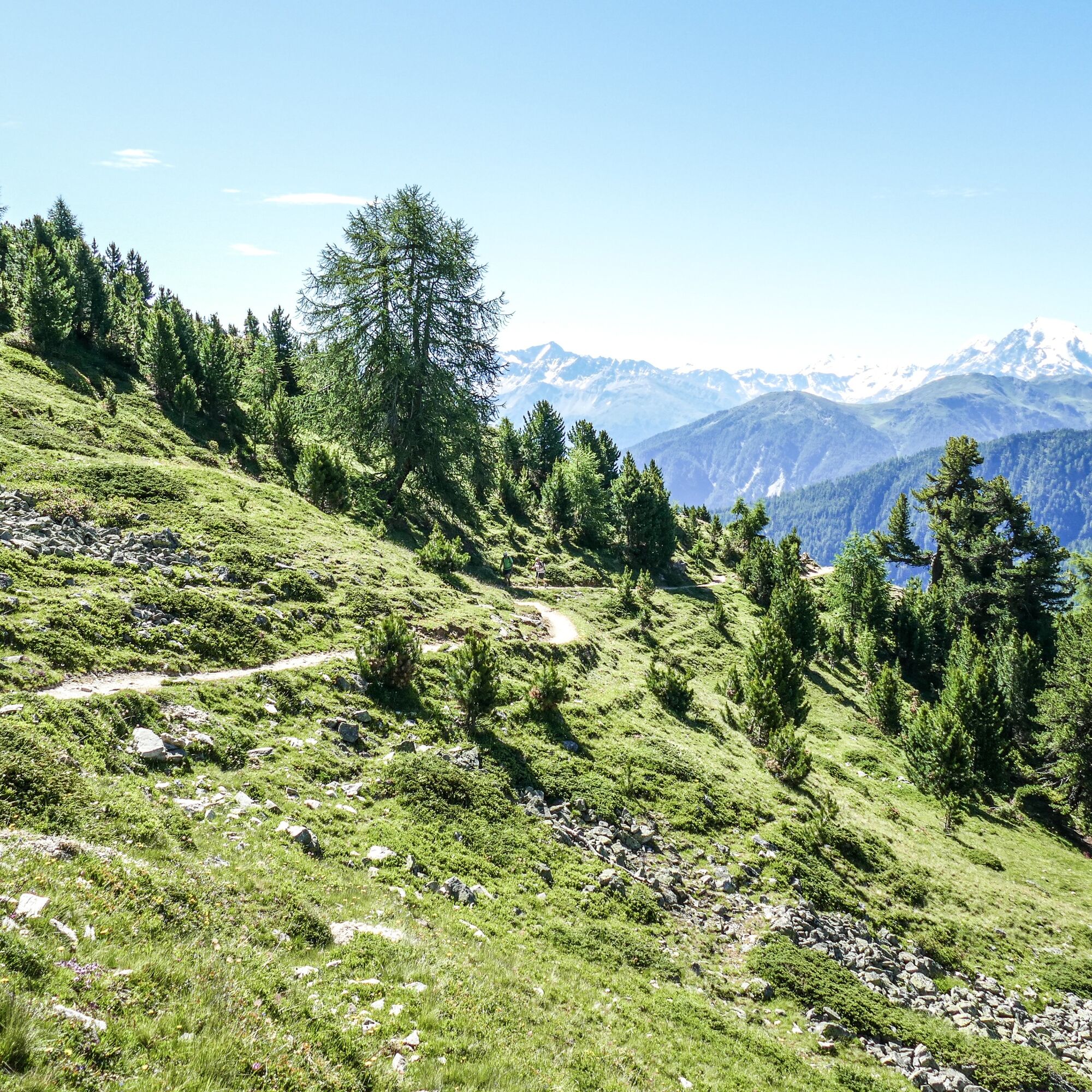
The centerpiece is the spectacular rock path through the upper Val d’Uina: A former smuggler's route that is recommended for those without fear of heights. At the top of the pass, already on Italian soil,...
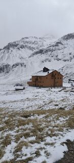
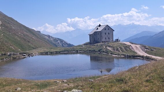
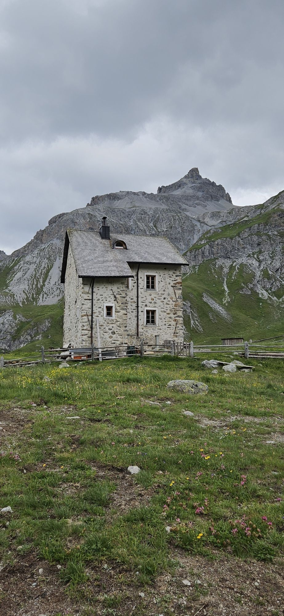
The centerpiece is the spectacular rock path through the upper Val d’Uina: A former smuggler's route that is recommended for those without fear of heights. At the top of the pass, already on Italian soil, lies the generously designed Sesvenna mountain hut.
Highlights:
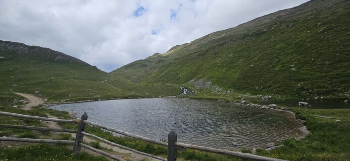
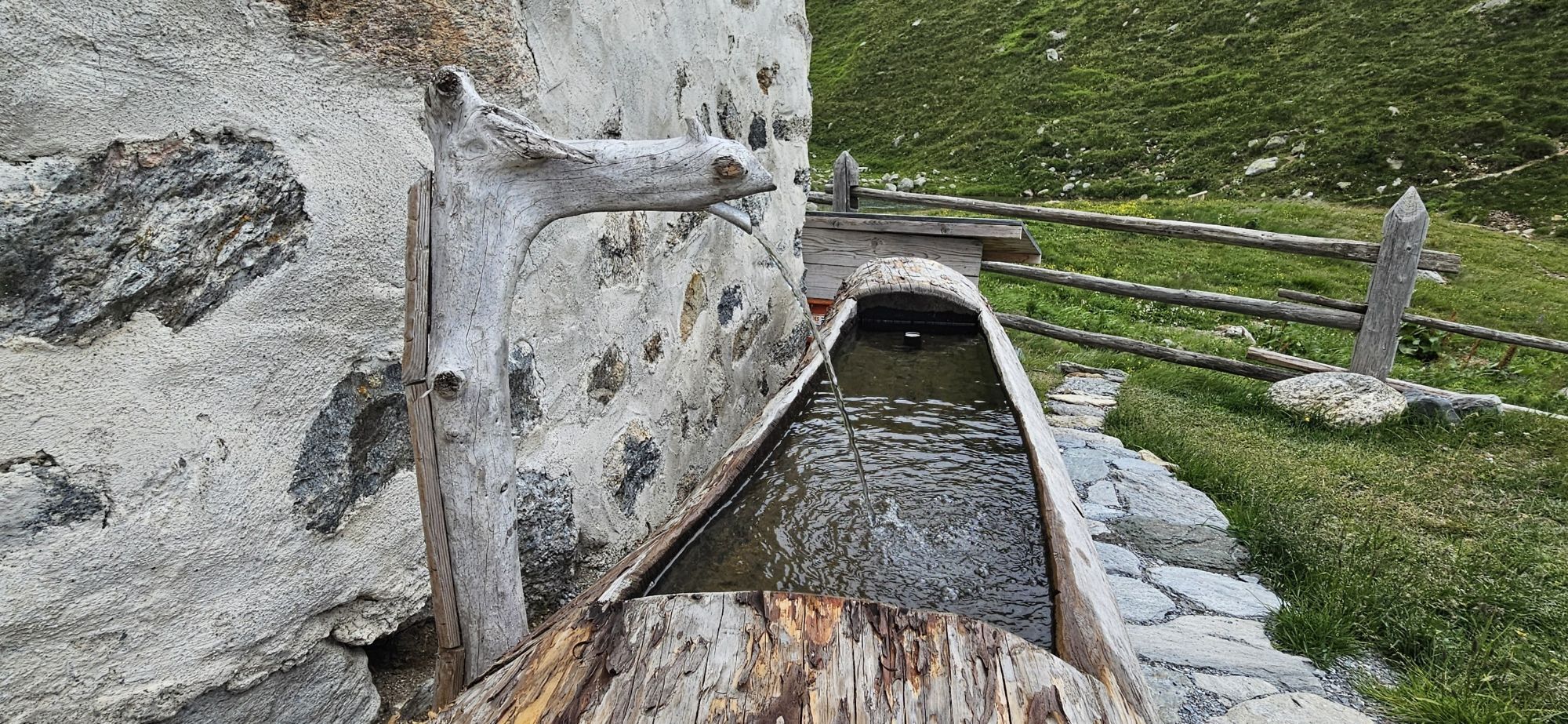
Uina Gorge: The rock path "Il Quar", about 600 meters long, blasted into the steep rock wall, was constructed at the beginning of the twentieth century as access to the Pforzheim hut. A scene for the Swiss film "Schellen-Ursli" was filmed at Puntins Ots in the Val d'Uina. Sesvenna hut: Look forward to a wonderful mountain landscape, breathtaking nature, and a delicious traditional cuisine.
Good footwear, rain and sun protection, drinking bottle, provisions, first aid kit.
The route was rated under favorable weather conditions. Current weather conditions and forecasts must be strictly observed before starting the route.
Emergency call:
144 emergency call, first aid
1414 mountain rescue REGA
112 international emergency call
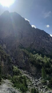
On high sections, snowfields may persist into the summer months. Exposed sections; surefootedness and no fear of heights required.
From the north: via Landquart – Klosters by car shuttle through the Vereina tunnel (Selfranga - Sagliains) or via the Flüela Pass to Lower Engadin on H27
From the east: via Landeck / Austria towards St. Moritz on H27
From the south: via Reschen Pass (Nauders-Martina) or Ofen Pass (Val Müstair-Zernez) on H27
Scuol is located directly on the Engadin Road H27 (20 minutes driving time from Vereina south portal)
By the Rhaetian Railway (from Chur, Landquart/Prättigau or from Upper Engadin) hourly to Scuol-Tarasp
By PostAuto (from Martina, Sent, Ftan or Tarasp) hourly to the station Scuol-Tarasp
Paid parking at the station and below the hospital
Free parking at Chasa Puntota (retirement home), cross-country ski trails Manaröl
T2
Beware: snowfields possible into summer months on high-level sections.
Beware: head for heights and surefootedness required.
The stage can be simplified with public transport. Recommendation: Postbus from Scuol staziun to S-charl.
Oblíbené prohlídky v okolí
-
4.1
Panoramaweg Schöneben Haider Alm
světloTuristika 5.78 km -
5.0
Mountain restaurant Plantaptasch (without Lift)
středníTuristika 3.42 km -
4.2
Reschensee
světloTuristika 15.6 km -
3.6
Easy hiking rout to the top of the Watles Moutain (2.550 m)
středníTuristika 2.35 km -
4.1
Haidersee - Graun - Trentino-Alto Adige/Südtirol/Italia
světloTuristika 4.99 km -
4.5
Rundwanderweg Wattles und Sesvenna
světloTuristika 16.4 km -
3.5
Nauders - Bergkastel - Plamort - Reschen - Nauders
středníMountainbike 20.9 km -
4.7
Leonhardskapelle - Deiländerblick - Mein Dörfl Bar-Bungalov - Kapelle zum Hl. Martin
světloJízda na kole 29.2 km -
4.5
Tarasp Fontana – Sparsels – Lai Nair (circular route)
světloTuristika 7.67 km -
5.0
Plamort
světloTuristika 8.25 km
Pěší turistika a stopování


Nenechte si ujít nabídky a inspiraci pro vaši příští dovolenou
Vaše e-mailová adresa byl přidán do poštovního seznamu.