






Way of the Cross Sumvitg - Clavadi
Úroveň obtížnosti: T1
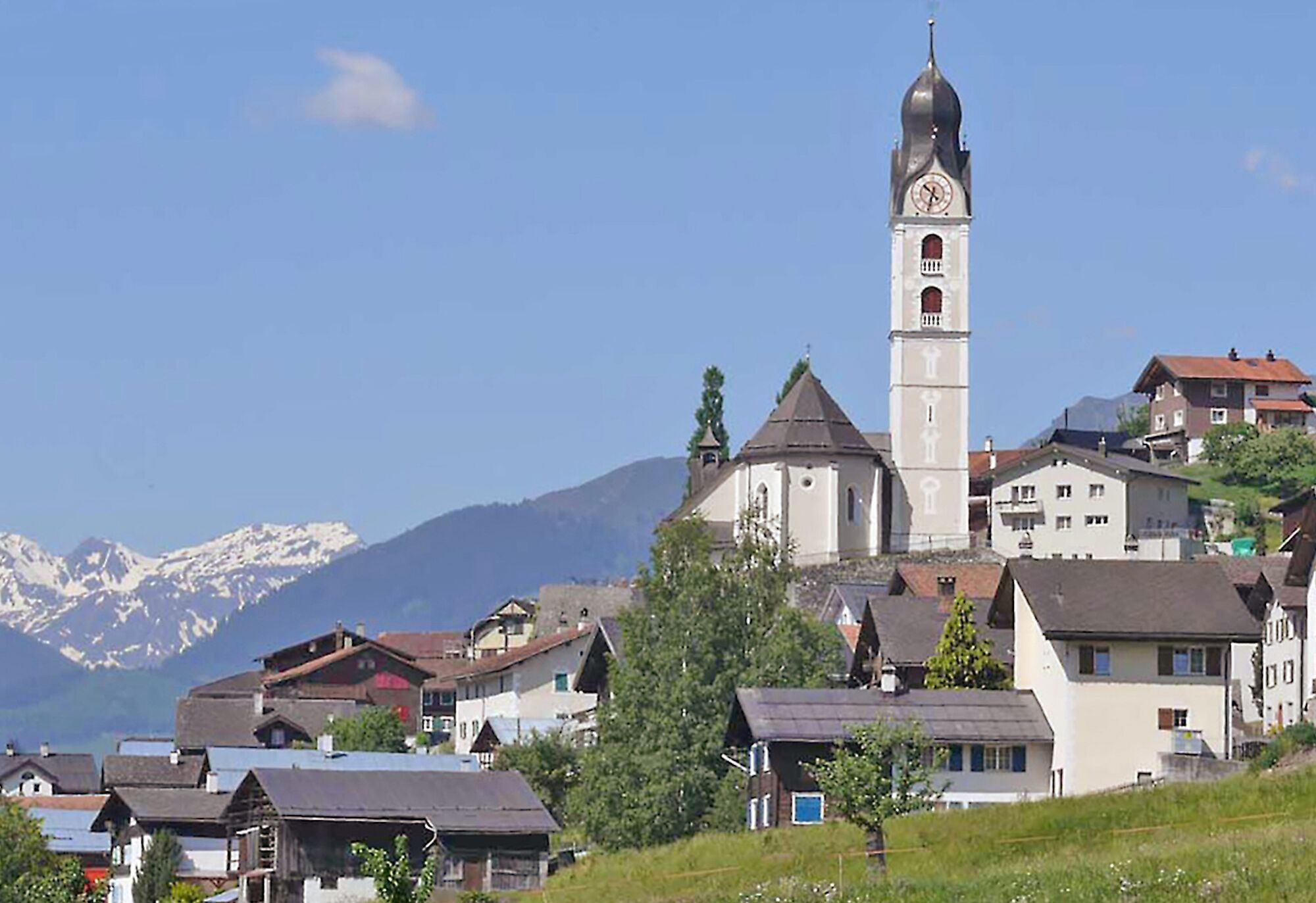
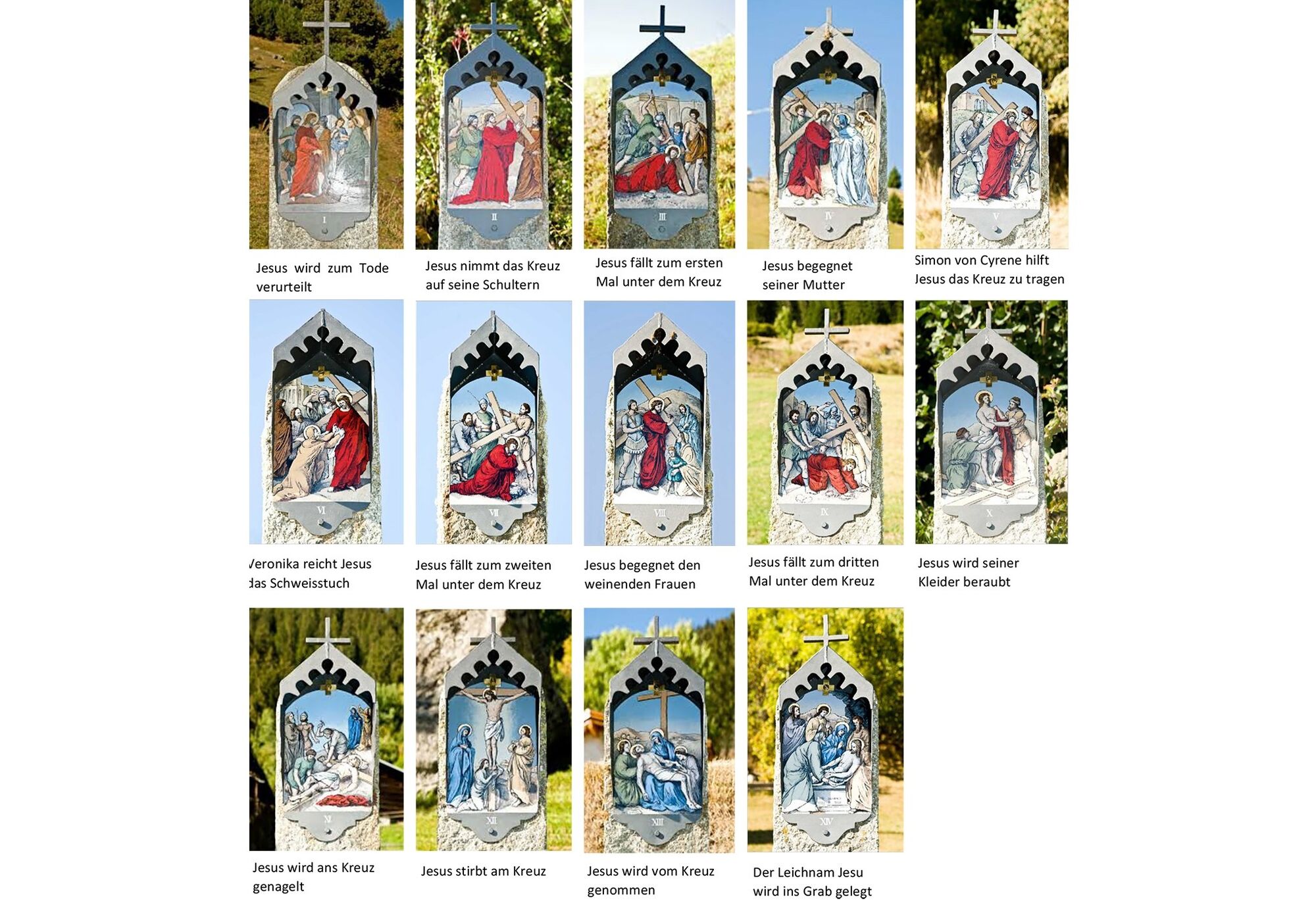
You accompany hiking enthusiasts on the way to the chapel of Clavadi. Since around 1600, Ways of the Cross with 14 illustrated stations have been erected. They show the path of Jesus from the condemnation...
You accompany hiking enthusiasts on the way to the chapel of Clavadi. Since around 1600, Ways of the Cross with 14 illustrated stations have been erected. They show the path of Jesus from the condemnation by Pontius Pilate to the crucifixion and burial. The images are designed based on the Way of the Cross depiction of the parish church of Sedrun and were restored in 2008 by the painter Gieri Schmed. In connection with the restoration of the images, the granite pillars were placed on the new path to Clavadi.


Ano
Ano
Good shoes, weather-appropriate clothing (rain jacket), first aid kit, drink, possibly food
In uncertain weather conditions, the route should not be started. Weather changes in the mountains are common. If a rain front or similar develops during the hike, you should turn back in good time.
By car via Chur
From Zurich on the N 3 or from St. Gallen on the N 13 to Chur and then continue to the Reichenau exit towards Disentis/Ilanz/Flims until Sumvitg.
By car via Göschenen
From Basel on the N 2 via Lucerne to Göschenen, continue on the old mountain pass road through the Schöllenen Gorge to Andermatt and over the Oberalp Pass/Disentis to Sumvitg.
By train via Chur or Göschenen
From Göschenen via Disentis or directly from Chur with the RhB railway to Sumvitg/Cumpadials.
From here, walk to the start of the hike towards Sumvitg/Clavadi.
Parking lot at the school in Sumvitg.
T1
Visit the chapel of Clavadi.
Oblíbené prohlídky v okolí
-
5.0
High valley Val Frisal
heavyTuristika 12.4 km -
Rueras - Hexensee - Rueras
středníTuristika 9.71 km -
Giro della Greina
Turistika 50.6 km -
1.0
Wasserfälle Bauns bei Sedrun
světloTuristika 3.45 km -
5.0
2-day hike Greina high plateau
heavyTuristika 15.5 km -
Sedrun - Segnas - Disentis
světloTuristika 9.77 km -
Sedrun - Alp Caschlé - Hexenplatte - Sedrun
středníTuristika 13.3 km -
4.3
Around the Grep da Plaids
středníTuristika 8.05 km -
4.7
The Puntegliashütte at the foot of the Tödi massif
heavyTuristika 13.5 km -
5.0
Kistenpasshütte-Breil/Brigels
středníTuristika 13.7 km
Pěší turistika a stopování


Nenechte si ujít nabídky a inspiraci pro vaši příští dovolenou
Vaše e-mailová adresa byl přidán do poštovního seznamu.





