






Circular route Linaus, Morissen
Úroveň obtížnosti: T1
From the Center communal, the path leads out of the village to the right. At the upper edge of the village, near the last farms, follow the signpost towards Cumbel. The road winds through the Maiensässe...
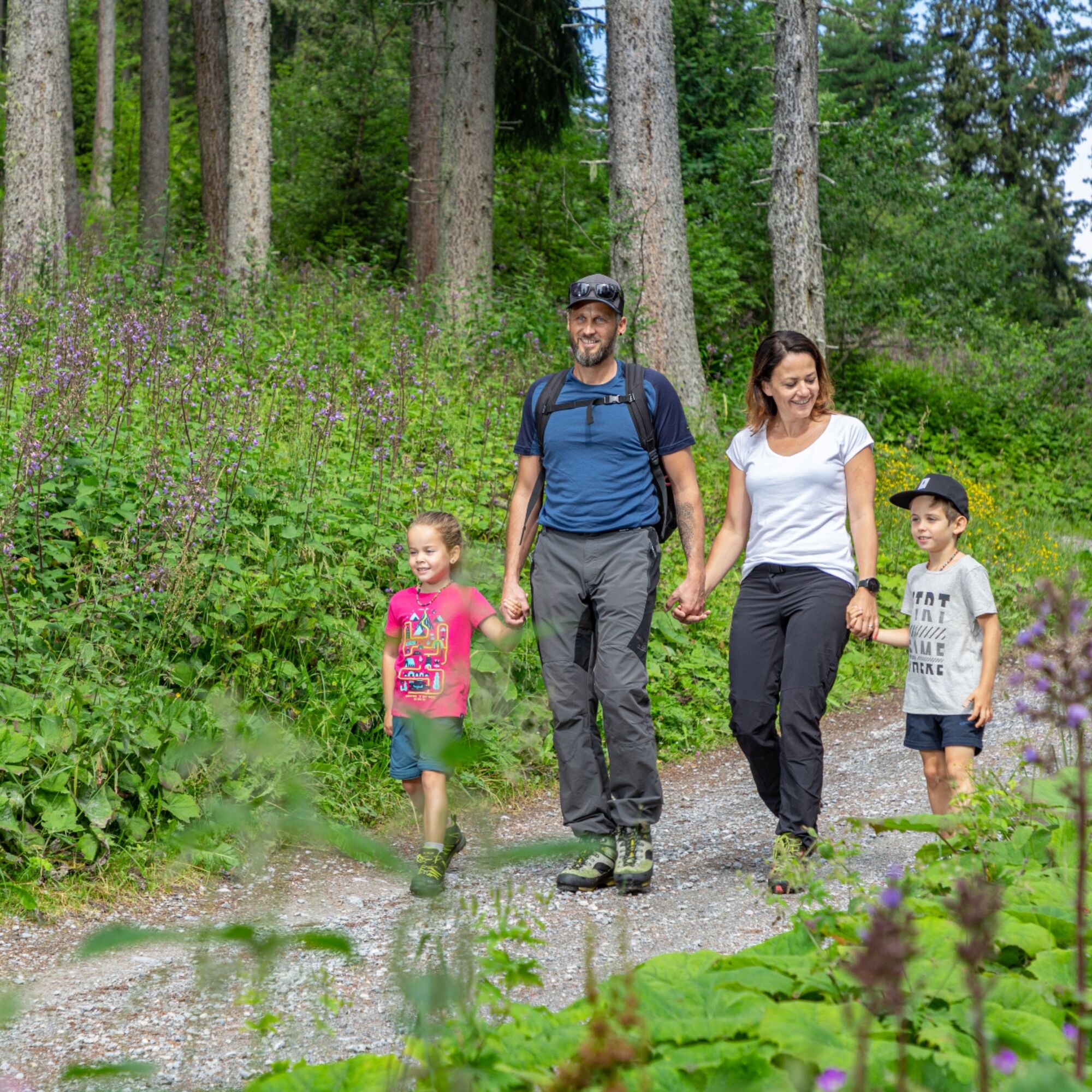
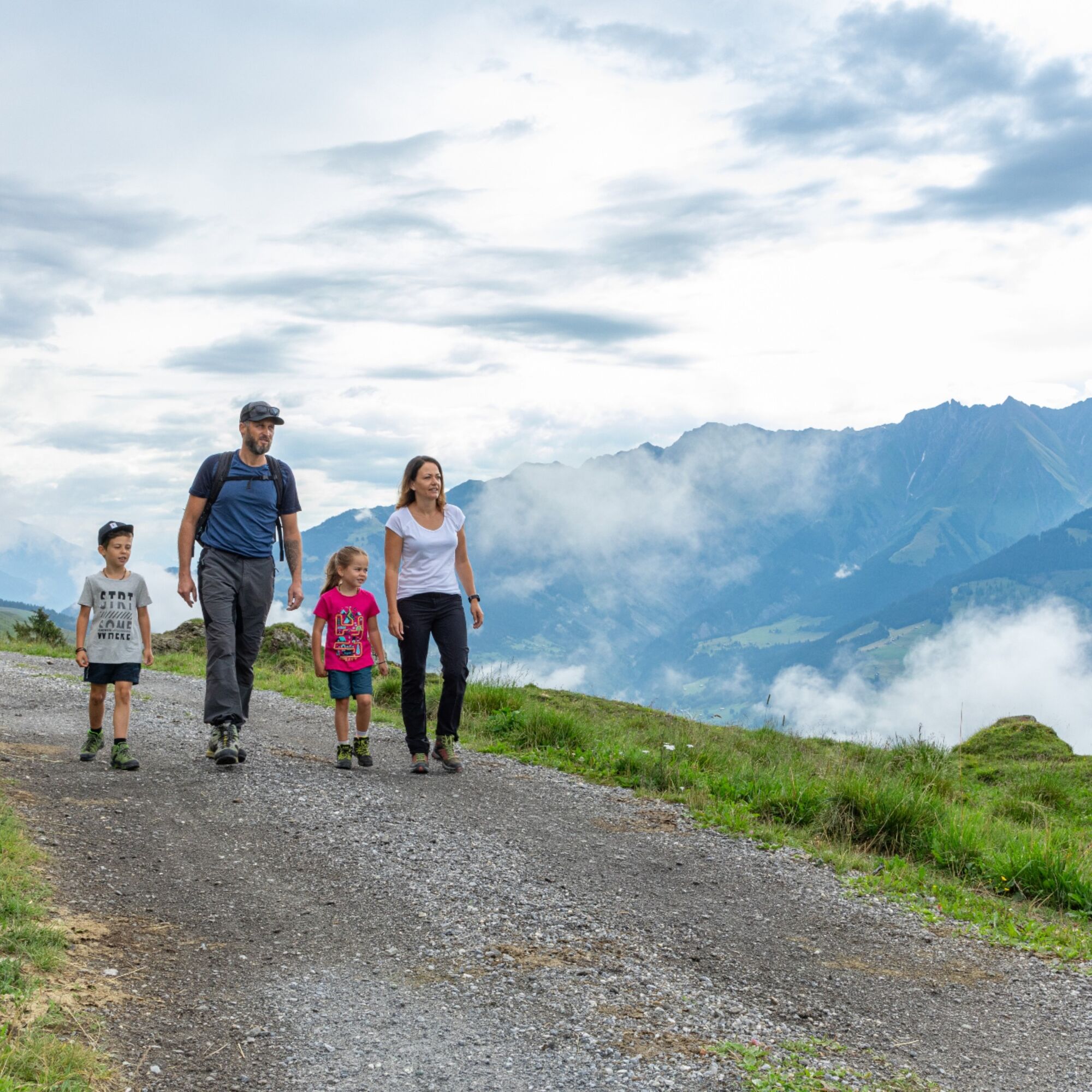
From the Center communal, the path leads out of the village to the right. At the upper edge of the village, near the last farms, follow the signpost towards Cumbel. The road winds through the Maiensässe of Morissen to the junction in Magliacogna. Here begins the gentle ascent up to Linaus. Above the forest, shortly before the road turns into a hiking trail in Linaus, there is a bench by the roadside. Take the opportunity to rest and enjoy the magnificent view of the mountain scenery of Val Lumnezia. From Linaus, the hiking trail leads over the alpine pasture and through a small deciduous forest back towards Morissen.


Morissen - Ramasaus - Magliacogna - Linaus - Cuschias - Morissen
Good hiking boots with a good tread or trekking shoes, weather-appropriate clothing (rain jacket), drink, possibly hiking poles.
If weather conditions are uncertain, the route should not be started. Weather changes in the mountains are common. If a rain front or similar approaches during the hike, you should turn back in time.
Via Chur A3/A13 via Flims to Ilanz in the Val Lumnezia
PostBus line 90.441 Ilanz - Vrin and PostBus line 90.443 Morissen-Cuschnaus.
Parking available at the lower edge of the village, at the Center communal, and at the upper edge of Morissen.
T1
Získejte přehled
Vždy živě na místě s více než 9 500 webkamerami. bergfex Jako uživatel Pro si nyní můžete zobrazit odpovídající webové kamery pro mnoho prohlídek v aplikaci prohlídky z. Můžete si tak přímo prohlédnout aktuální podmínky.
Oblíbené prohlídky v okolí
-
4.4
4-lake hike: Caumasee - Crestasee - Felsbach Gorge
středníTuristika 12.8 km -
4.8
Rheinschlucht: From Ilanz to Versam into the heart of the Rheinschlucht
středníTuristika 11.4 km -
4.8
Rhine Gorge Hike: Senda Ruinaulta (659)
světloTuristika 9.39 km -
4.7
The Water Trail: Trutg dil Flem 764
heavyTematická stezka 8.56 km -
5.0
High valley Val Frisal
heavyTuristika 12.4 km -
5.0
Caumasee tour: Flims - Caumasee - Conn - Flims
světloTuristika 7.94 km -
4.3
Historic Pinut via ferrata
středníVia ferrata 5.82 km -
4.3
Circular hike: Falera-Curnius-Alp Dadens-Falera
středníTuristika 11.4 km -
5.0
Rhine Gorge Circular Hike
středníTuristika 11.4 km -
5.0
Circular route: Lake Cauma - Rhine Gorge "Swiss Grand Canyon"
středníTuristika 19.8 km
Pěší turistika a stopování


Nenechte si ujít nabídky a inspiraci pro vaši příští dovolenou
Vaše e-mailová adresa byl přidán do poštovního seznamu.





