


Crown hike: Maighelshütte - Oberalppass (Stage 12)
Úroveň obtížnosti: T3
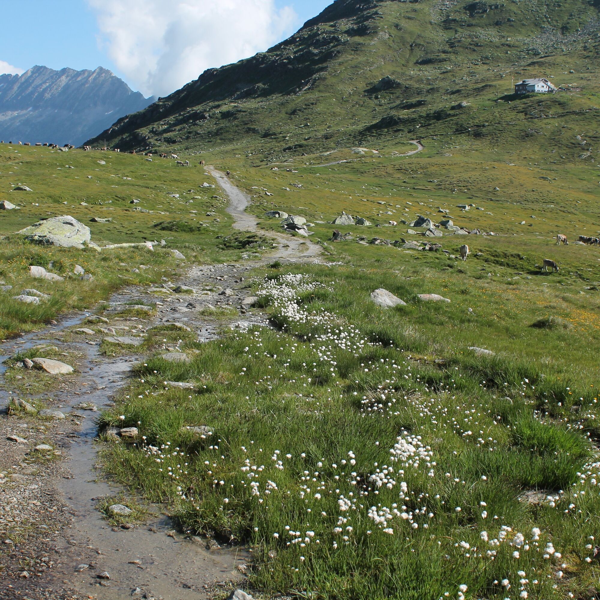
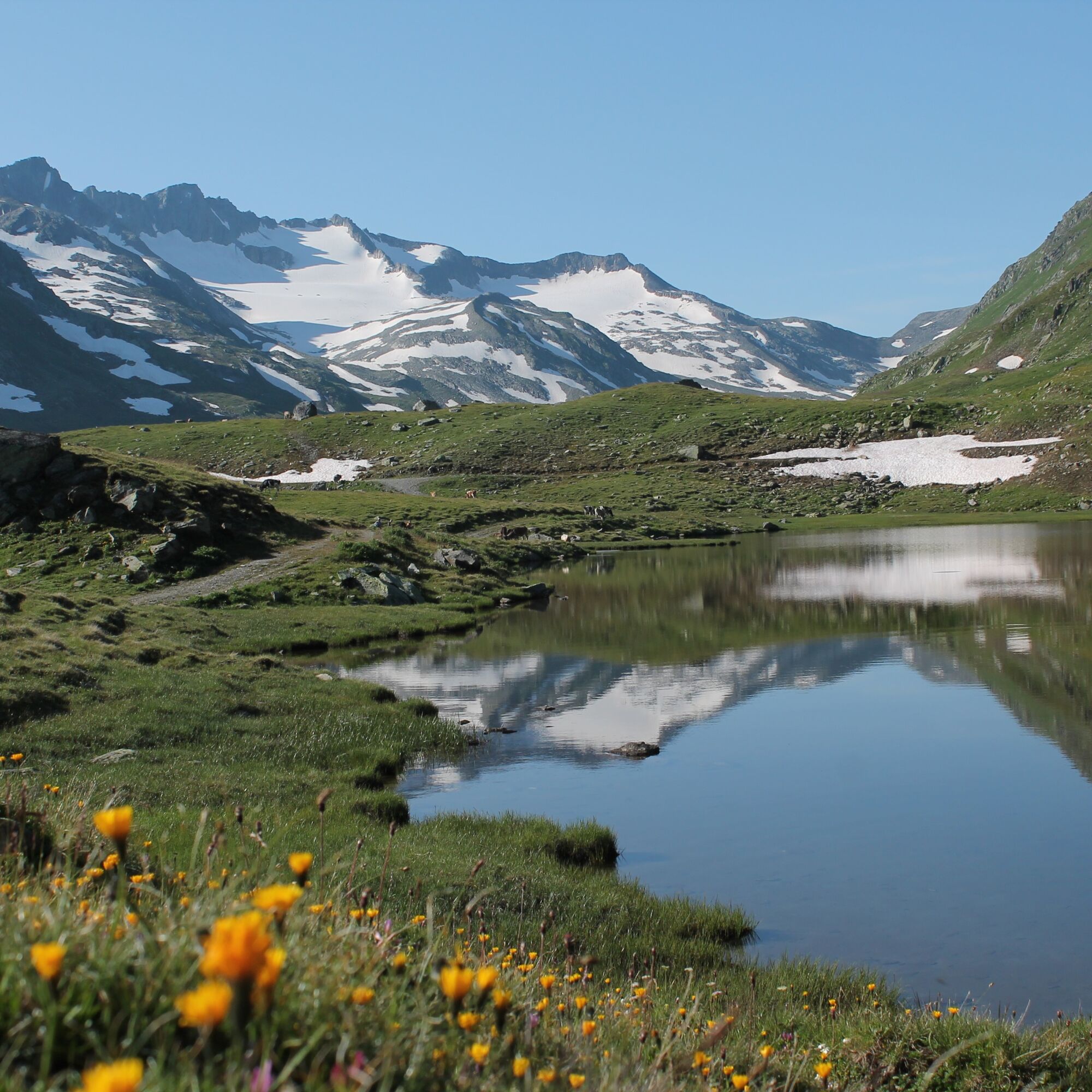
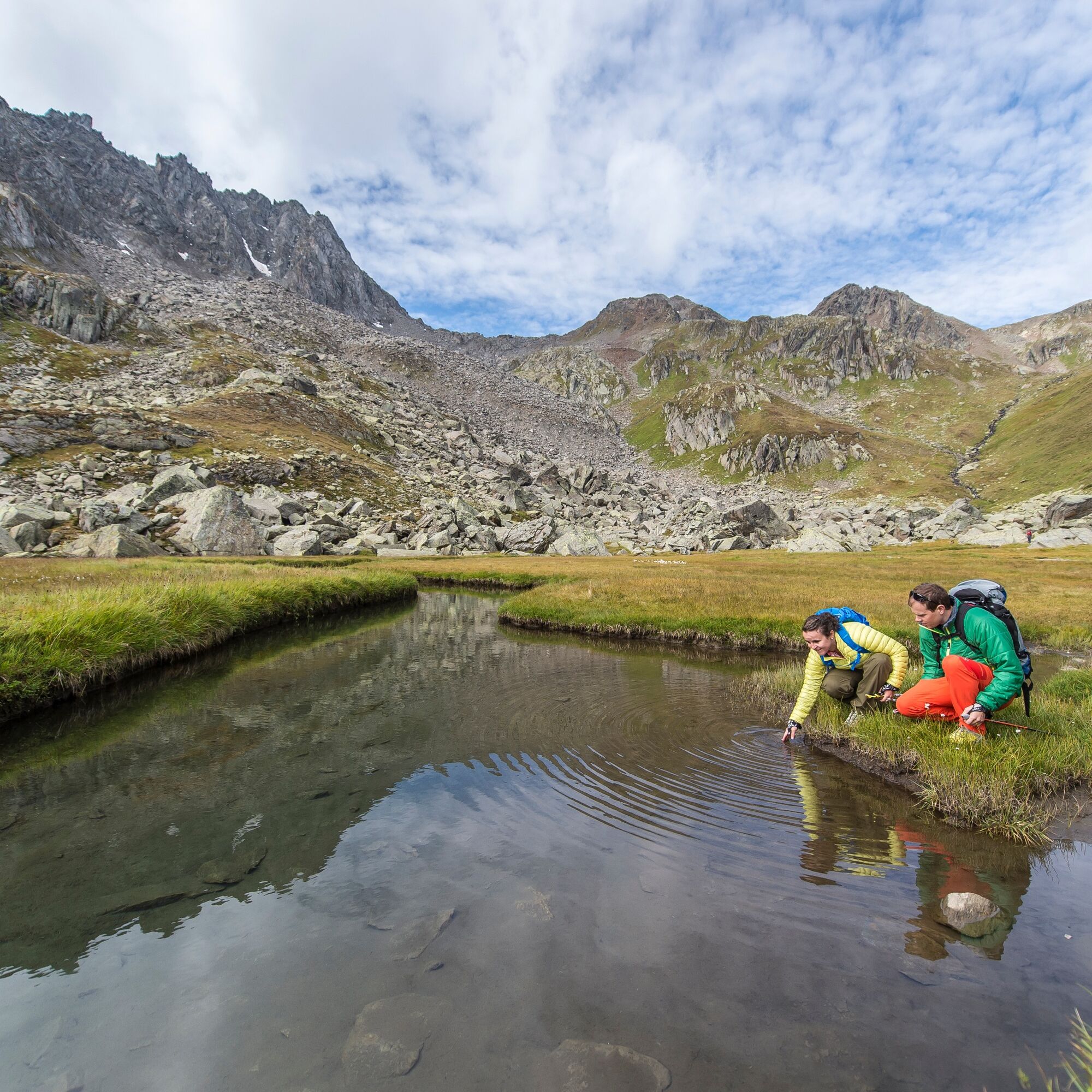
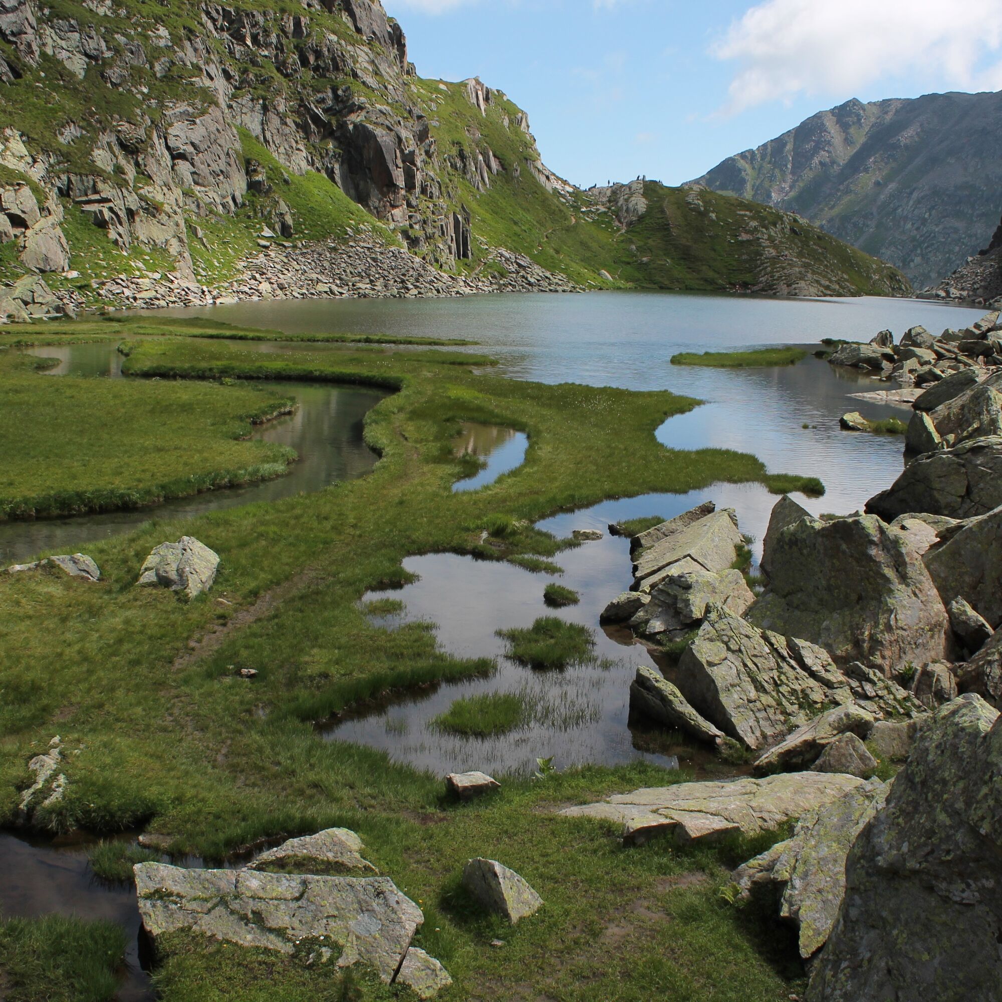
Early in the morning, the sun accompanies along the southeast slopes to Lai da Tuma. Passing streams and mountain lakes, you cross a raised bog and reach the Rhine source after about an hour. There is...
Early in the morning, the sun accompanies along the southeast slopes to Lai da Tuma. Passing streams and mountain lakes, you cross a raised bog and reach the Rhine source after about an hour. There is enough time to enjoy the tranquility at Tomasee. The rear part of the source with its meandering inflows feels like a power place in nature. Strengthened, you leave the source towards Oberalppass. In about 1.5 hours you reach the mountain pass road and the railway line of the Matterhorn Gotthard Bahn.
See also
Surselva Tourism AG
Bahnhofstrasse 25
7130 Ilanz
Tel.: 0041 81 920 11 05
Email: ilanz@surselva.info
Web: www.surselva.info


Maighelshütte - Tomasee - Oberalppass
Ano
Good hiking boots with a good tread, weather-appropriate clothing (rain jacket/sun protection), change of clothes, first aid kit, drinks, food, GPS device, possibly hiking poles.
Warning: Snowfields are possible at high-altitude sections until the summer months.
If weather conditions are uncertain, the route should not be started. Weather changes in the mountains are frequent. If a rain front or similar occurs during the hike, you should turn back in time.
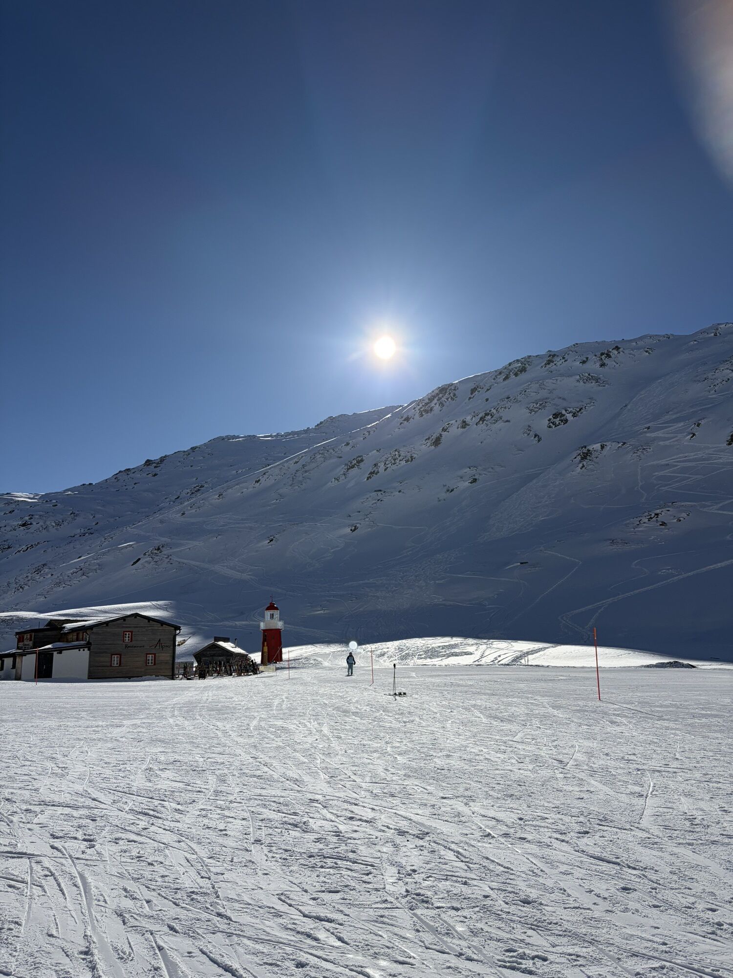
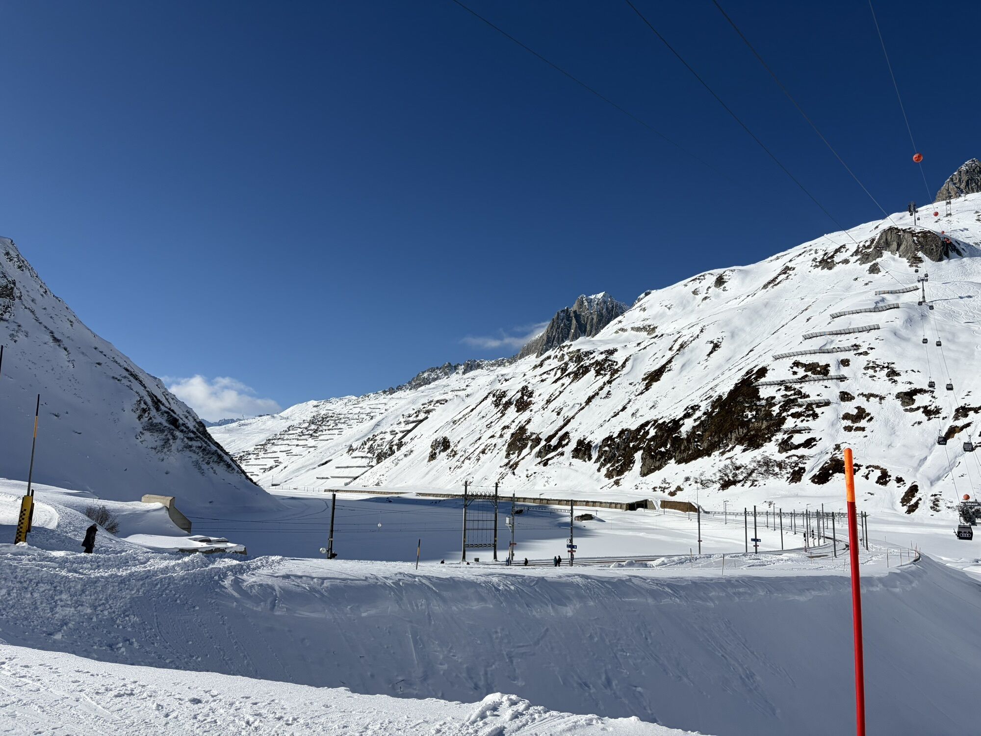
On the mountain pass road up to Oberalppass
Regular train connections of the Matterhorn-Gotthard railway from Oberalppass towards Andermatt or Disentis / Ilanz
Adequate parking spaces at Oberalppass
Oblíbené prohlídky v okolí
- 5.0
Rheinquelle - Lai da Tuma über den Pazzolastock
středníTuristika 10.3 km - 4.5
Lakes Orsino, Orsirora and Valletta Route
Turistika 12.8 km Rheinquelle - Lai da Tuma
středníTuristika 5.67 kmRueras - Hexensee - Rueras
středníTuristika 9.71 km- 1.0
Wasserfälle Bauns bei Sedrun
světloTuristika 3.45 km - 3.8
Piz Cavradi
středníTuristika 6.48 km - 1.0
Lutersee
středníTuristika 6.11 km Sedrun - Segnas - Disentis
světloTuristika 9.77 kmSedrun - Alp Caschlé - Hexenplatte - Sedrun
středníTuristika 13.3 kmVal Piora lakes route
středníTuristika 15.8 km
Pěší turistika a stopování


Nenechte si ujít nabídky a inspiraci pro vaši příští dovolenou
Vaše e-mailová adresa byl přidán do poštovního seznamu.