


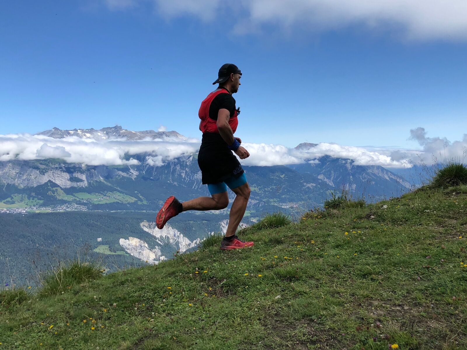
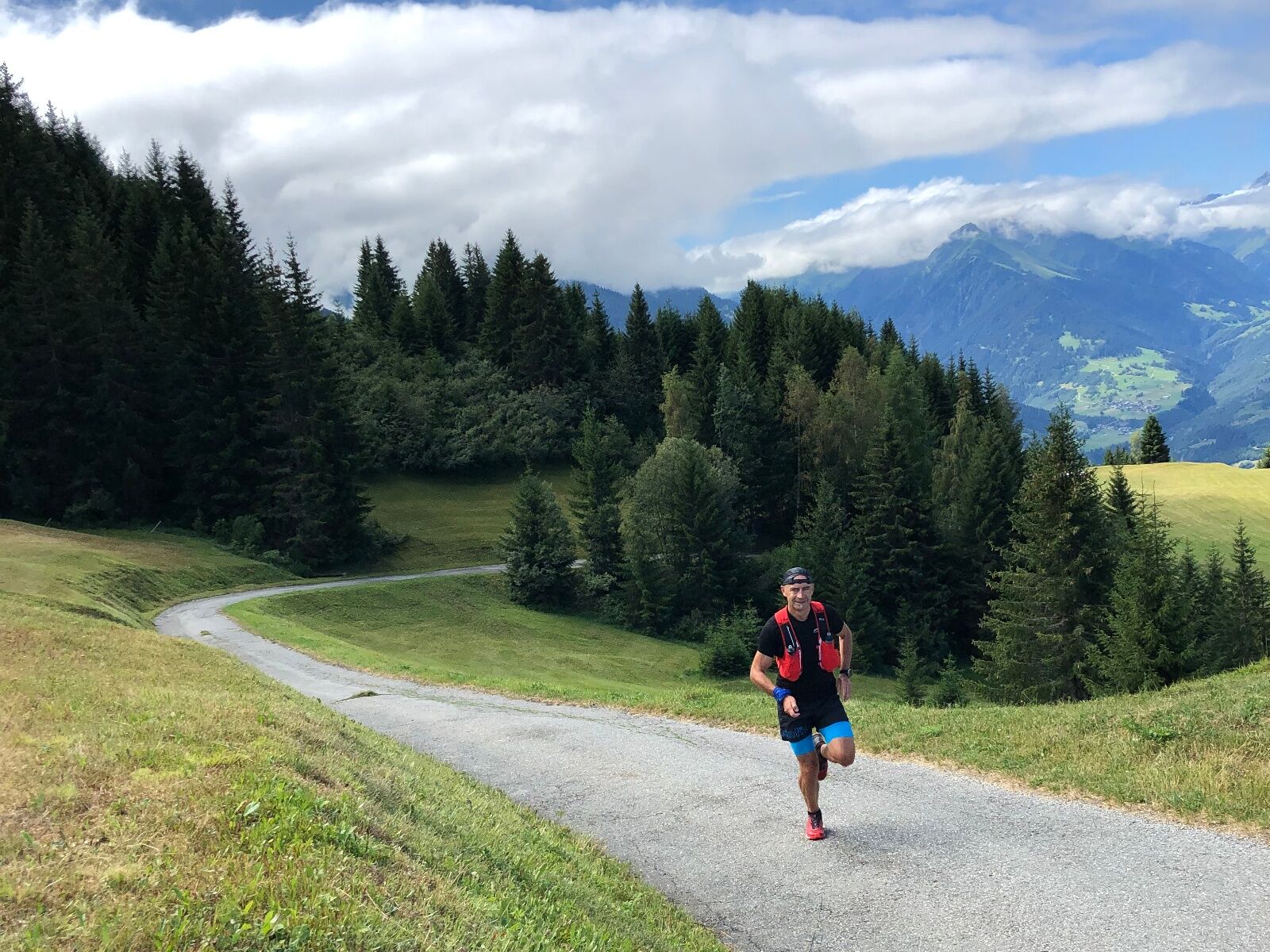
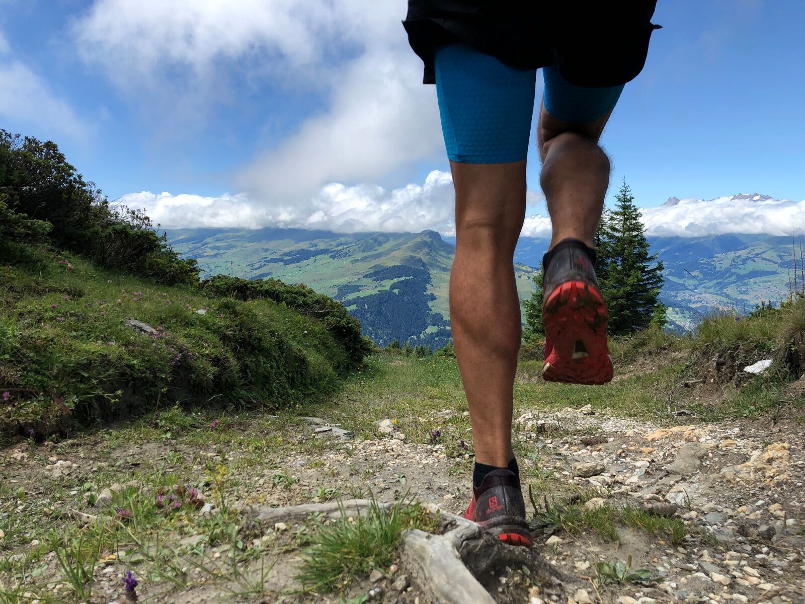
Trail run: Riein vitg - Dutjer Alp - Riein vitg
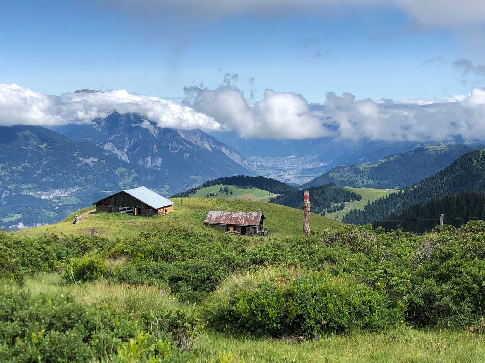
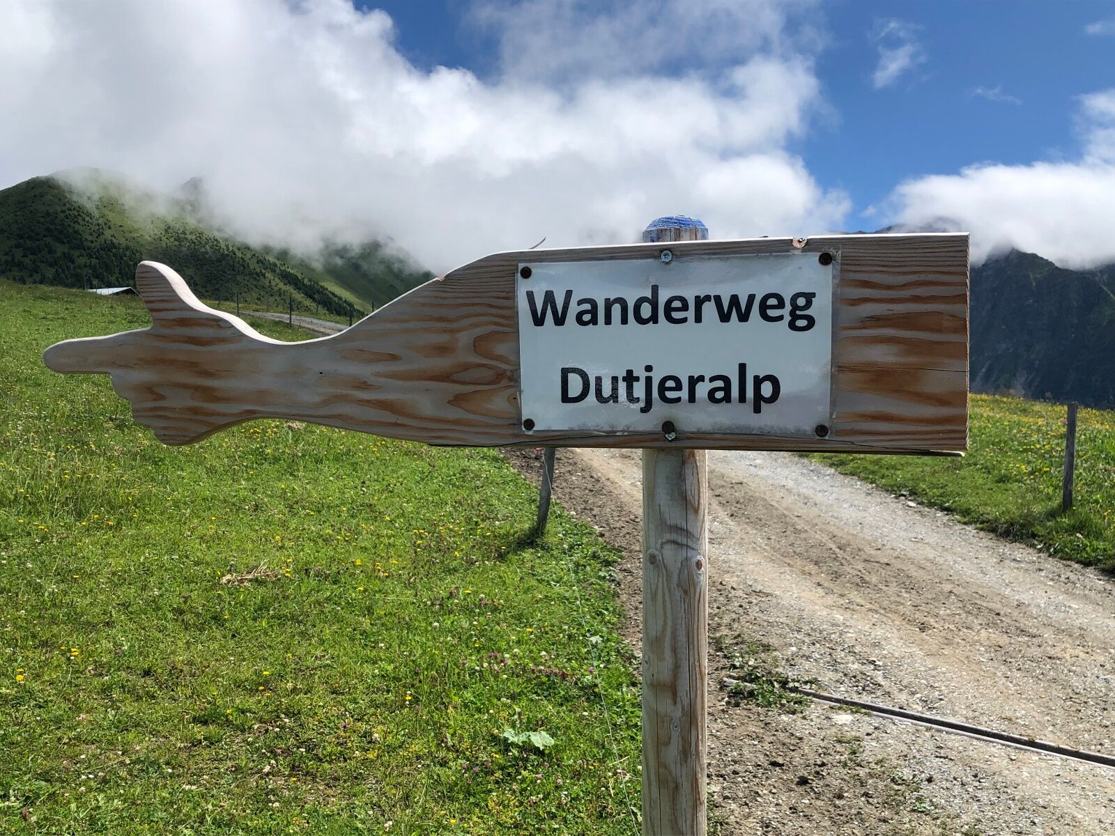
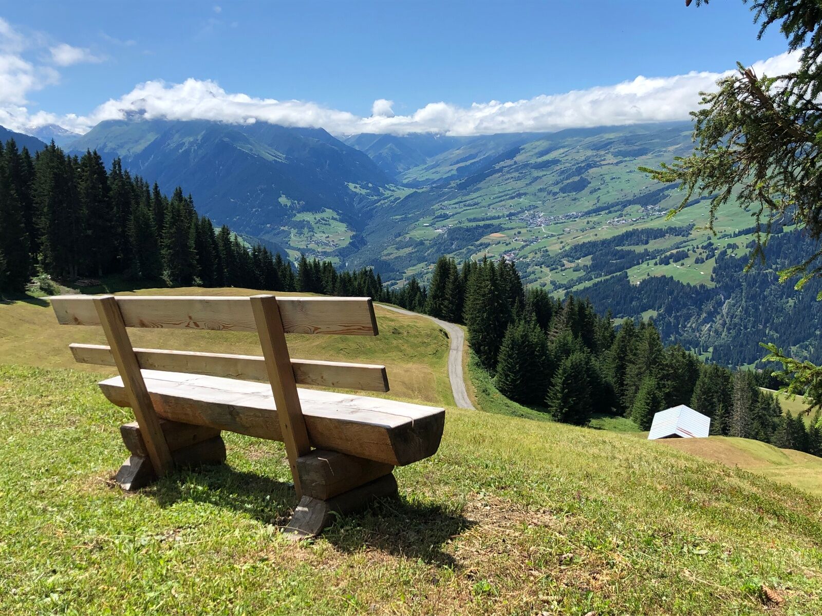
Over alpine pastures, continue following the ridge and the trail markings to Dutjer Alp, where the silence invites you to pause and picnic. The circular route is characterized by a wonderful view over...
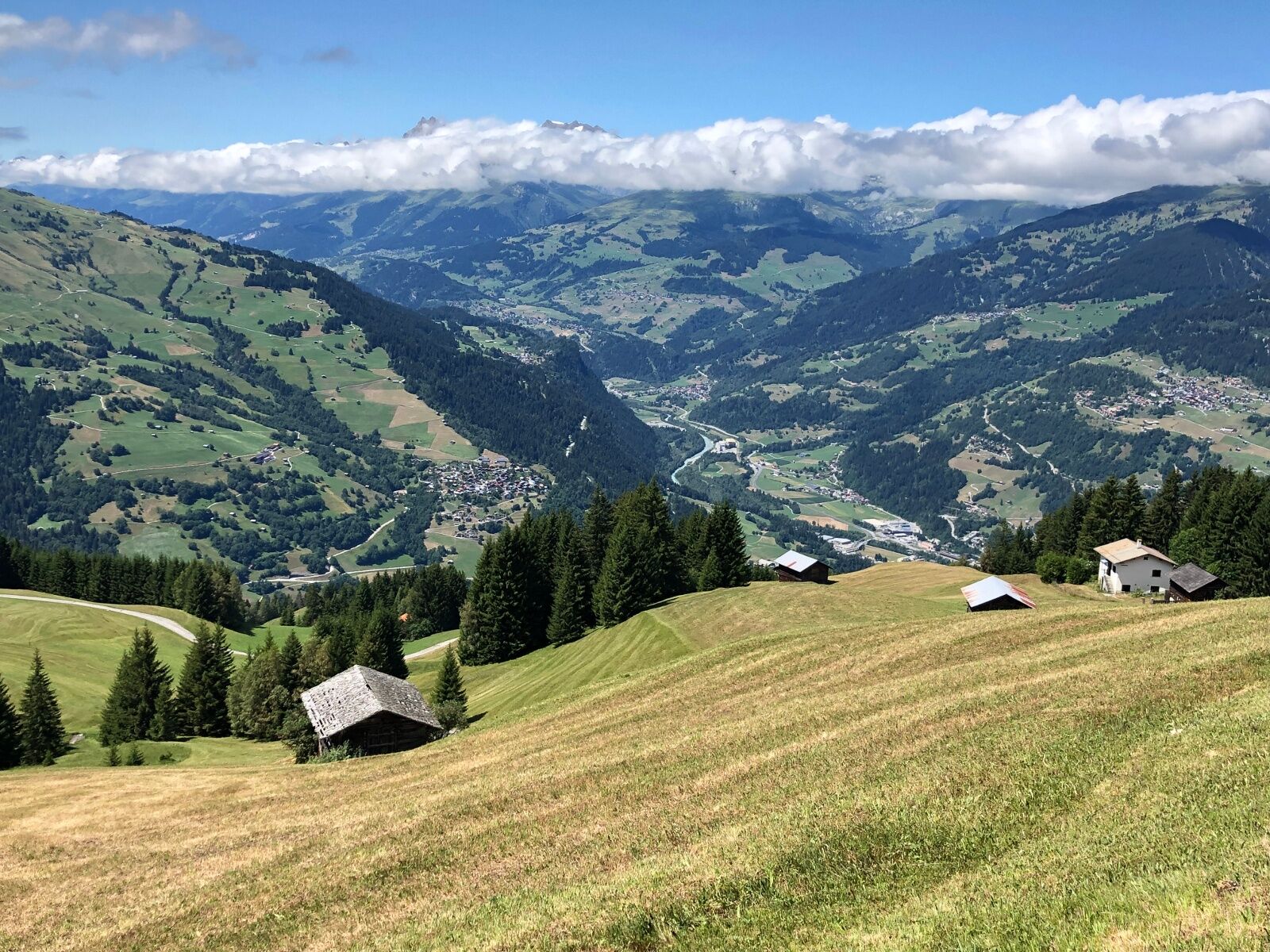
Over alpine pastures, continue following the ridge and the trail markings to Dutjer Alp, where the silence invites you to pause and picnic. The circular route is characterized by a wonderful view over the Vorderrhein Valley from Chur far into the Bündner Oberland. The Flims rockslide area with the impressive Rhine Gorge lies directly at the feet of the trail runner!
Also see
Safiental Tourism
CH-7104 Versam
Tel. 0041 81 630 60 16
E-mail: info@safiental.ch
Internet: www.safiental.ch
Food and accommodation:
Gasthaus am Brunnen
CH-7122 Valendas
Tel. 0041 81 920 21 22
Internet: www.gasthausambrunnen.ch
Bergbeizli Dutjer Tschutt
CH-7122 Ober Dutjen
Tel: 0041 81 921 61 70
Café Mäntig
CH-7122 Valendas
Tel. 0041 81 921 50 94
Internet: www.buchli-valendas.ch

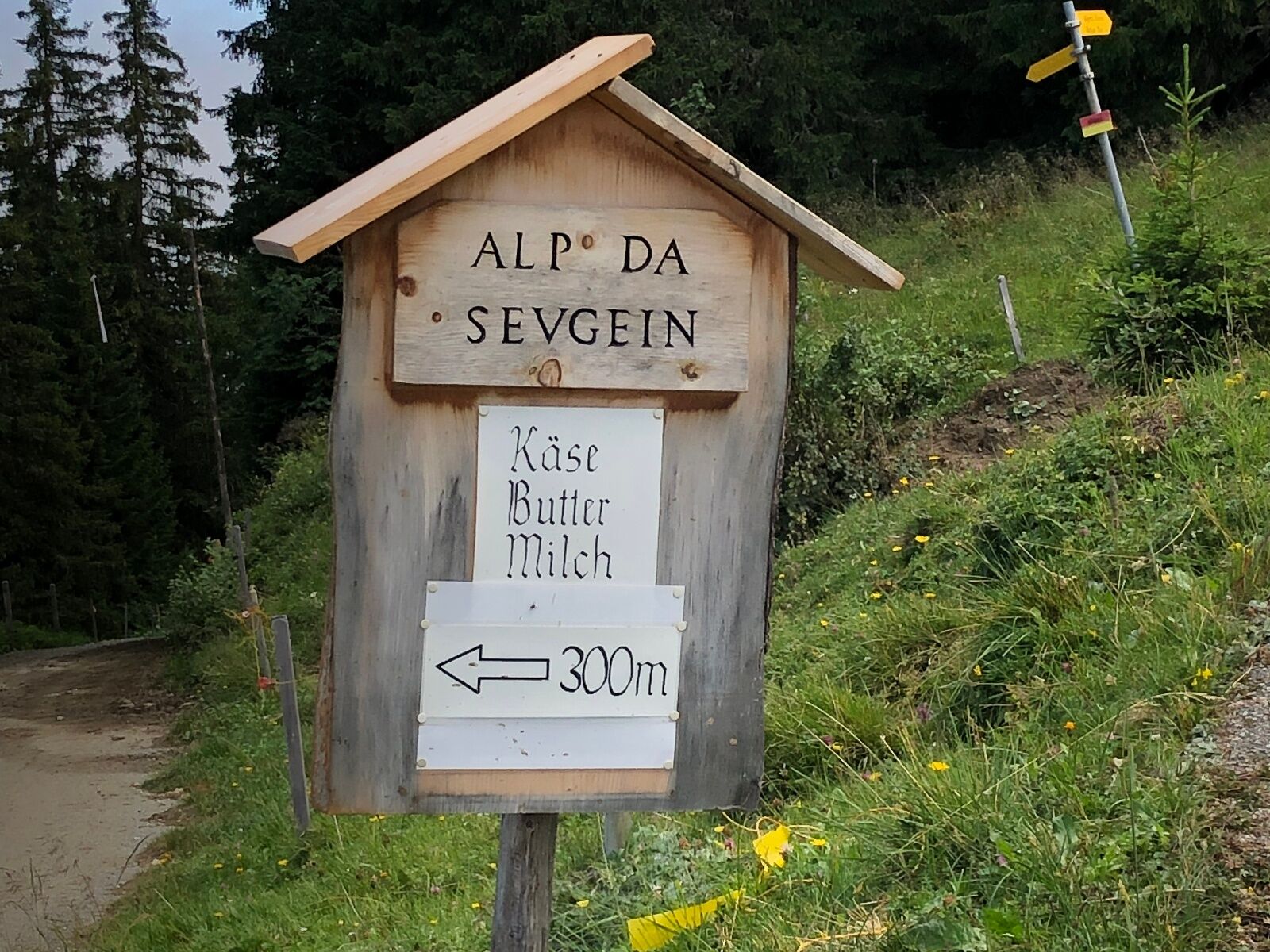
Riein vitg - Alp da Sevgei - Dutjer Alp - Alp da Riein - Riein vitg
Ano
Ano
Trail running shoes with good grip, weather-appropriate clothing (rain jacket), possibly change of clothes, first aid kit, drink and provisions.
In uncertain weather conditions, the route should not be started. Weather changes in the mountains are common. If a rain front or similar develops during the hike, you should turn back in time.
Take the right exit on the A13 towards Reichenau - Disentis/Mustér/Ilanz/Flims/Domat/Ems. Then turn right again and follow route 19, then always follow the direction to Prauperver until the village of Riein.
By bus 405 from Ilanz towards Riein Vitg, the journey takes about 16 minutes.
Timetable from Monday to Friday at:
07:10 08:35 10:50 12:00 13:35 16:35 17:35 18:46Timetable on Saturday and Sunday at:
08:35 10:50 11:35 14:35 16:35 17:35 18:46From Riein Vitg to Ilanz, you can take bus 405 in the direction of Ilanz/Glion.
Timetable from Monday to Friday at:
07:30 08:50 11:05 13:03 13:50 16:05 16:50 17:50 19:00Timetable on Saturday and Sunday at:
08:50 11:05 13:03 13:50 14:50 16:50 17:50 19:00There is a small parking lot on Casa Conn street in Riein.
Enjoy a break in one of the small cafés to recharge for the continuation of your run.
Oblíbené prohlídky v okolí
-
4.5
4-lake hike: Caumasee - Crestasee - Felsbach Gorge
středníTuristika 12.8 km -
4.8
Rheinschlucht: From Ilanz to Versam into the heart of the Rheinschlucht
středníTuristika 11.4 km -
4.7
Rhine Gorge Hike: Senda Ruinaulta (659)
světloTuristika 9.39 km -
4.7
The Water Trail: Trutg dil Flem 764
heavyTematická stezka 8.56 km -
5.0
Caumasee tour: Flims - Caumasee - Conn - Flims
světloTuristika 7.94 km -
4.7
Mountain hike to the Strudeltöpfe on Alp Mora: Bargis-Trin
heavyTuristika 18 km -
5.0
Lower Segnesboden: Nagens Sura - Lower Segnesboden - Segnes hut - Alp Nagens
středníTuristika 6.66 km -
4.3
Circular hike: Falera-Curnius-Alp Dadens-Falera
středníTuristika 11.4 km -
5.0
Circular route: Lake Cauma - Rhine Gorge "Swiss Grand Canyon"
středníTuristika 19.8 km -
Piz Fess 2880m, der Stolze
heavyTuristika 12.8 km

Pěší turistika a stopování


Nenechte si ujít nabídky a inspiraci pro vaši příští dovolenou
Vaše e-mailová adresa byl přidán do poštovního seznamu.