






Adventure trail "Minas da Gulatsch"
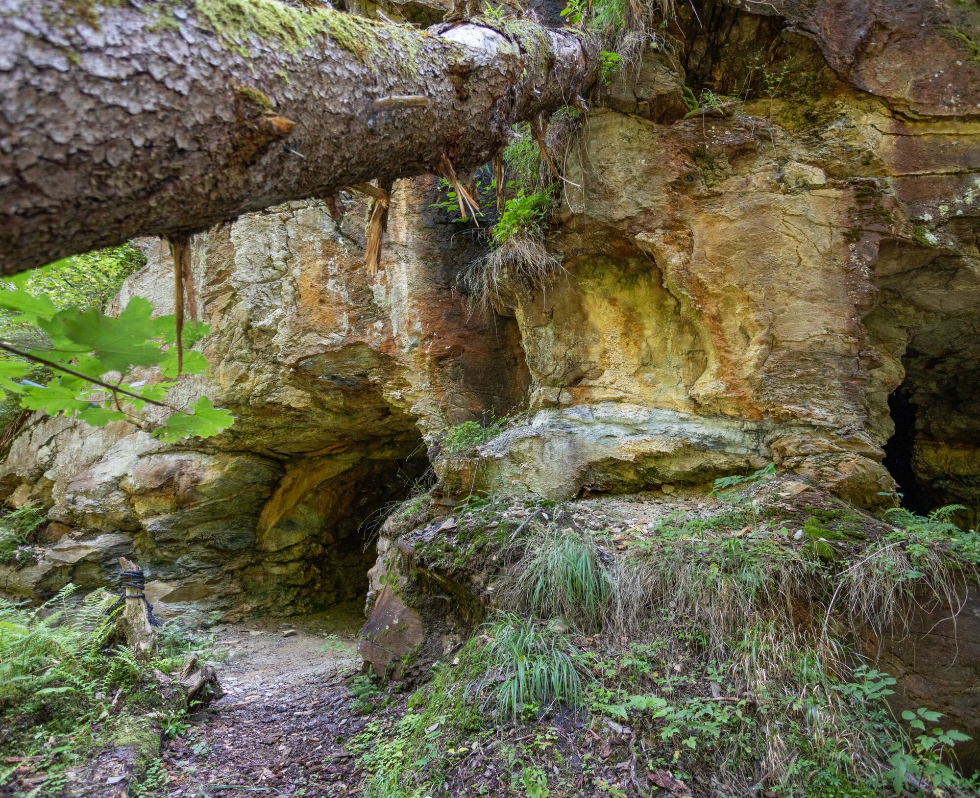
In addition to the themed trail with interactive stations to try out, solve puzzles, and play, a cozy rest area invites you to stay and the caves offer insight into a fascinating, often hidden world.
Following...
In addition to the themed trail with interactive stations to try out, solve puzzles, and play, a cozy rest area invites you to stay and the caves offer insight into a fascinating, often hidden world.
Following the tracks of ore miners and protected bats, old times come alive and special nature experiences are conveyed. In the intact and secluded landscape, nature should be experienced playfully.
The project "Minas da Gulatsch" was initiated by the association Rueun Viva in cooperation with the municipality of Ilanz/Glion and Surselva Tourismus AG. In collaboration with WWF Graubünden, the bat protection officer of the canton of Graubünden, and the Friends of Mining Graubünden.
Guided tours are also offered for groups, school classes, and guests interested in learning more about mining and the socio-cultural background of the region. Interested? Contact ilanz@surselva.info.



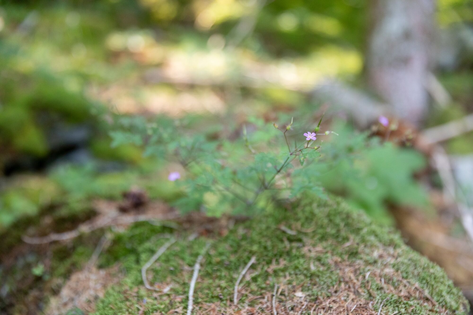
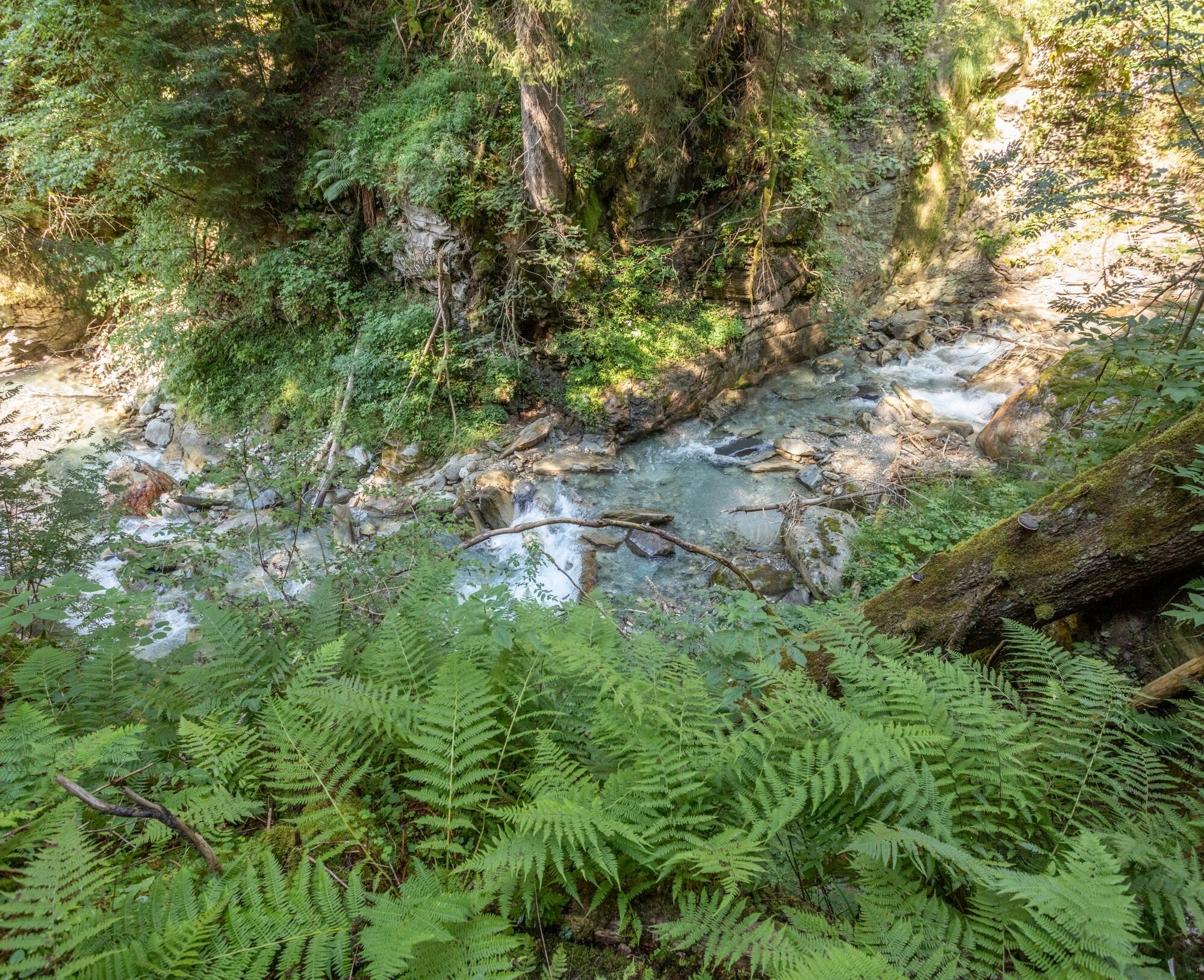


From the bus stop "Rueun, Minas da Gulatsch" to the beginning of the themed hike, there is a steadily ascending gravel path. At the parking lot for a maximum of three cars, you will find a compost toilet and the first information boards about Minas da Gulatsch. Take your time and read the information carefully; it pays off. For children, there is much new to discover and a playful immersion into the Romansh language.
Then a narrow, partially steep natural path leads through the forest and over small clearings to the junction, which leads to the rest area or to the bat caves – including the cave of bat Rina. The path requires surefootedness and good basic fitness as some sections are challenging. The return route follows the same path as the way there.
Ano
Ano
Ano
Good hiking shoes with a good tread, drink, provisions, possibly hiking poles.
May have steep sections. Not recommended in wet conditions due to risk of slipping. Hold young children by the hand in steep sections.
Only very few parking spaces available.
Public transport is recommended. Take bus 423 from Ilanz to Pigniu and get off at the stop "minas da gulatsch".
There are three parking spaces in total.
Further information can be found on our landing page for Minas da Gulatsch.
 Získejte přehled
Vždy živě na místě s více než 9 500 webkamerami. bergfex Jako uživatel Pro si nyní můžete zobrazit odpovídající webové kamery pro mnoho prohlídek v aplikaci prohlídky z. Můžete si tak přímo prohlédnout aktuální podmínky.
Získejte přehled
Vždy živě na místě s více než 9 500 webkamerami. bergfex Jako uživatel Pro si nyní můžete zobrazit odpovídající webové kamery pro mnoho prohlídek v aplikaci prohlídky z. Můžete si tak přímo prohlédnout aktuální podmínky.
Oblíbené prohlídky v okolí
-
4.9
Rheinschlucht: From Ilanz to Versam into the heart of the Rheinschlucht
středníTuristika 11.4 km -
4.4
4-lake hike: Caumasee - Crestasee - Felsbach Gorge
středníTuristika 12.8 km -
4.8
Rhine Gorge Hike: Senda Ruinaulta (659)
světloTuristika 9.39 km -
5.0
Kalktrittli - Nüschentäli - Muttsee - Obersee - Muttenchopf - Mörtel - Limmerensee - Kalktrittli (durch Stollen)
středníTuristika 14.8 km -
5.0
High valley Val Frisal
heavyTuristika 12.4 km -
4.7
The Water Trail: Trutg dil Flem 764
heavyTematická stezka 8.56 km -
5.0
Caumasee tour: Flims - Caumasee - Conn - Flims
světloTuristika 7.94 km -
5.0
Lower Segnesboden: Nagens Sura - Lower Segnesboden - Segnes hut - Alp Nagens
středníTuristika 6.66 km -
4.3
Circular hike: Falera-Curnius-Alp Dadens-Falera
středníTuristika 11.4 km -
5.0
Rhine Gorge Circular Hike
středníTuristika 11.4 km
Pěší turistika a stopování


Nenechte si ujít nabídky a inspiraci pro vaši příští dovolenou
Vaše e-mailová adresa byl přidán do poštovního seznamu.





