






Tschlin-Muttler

Úroveň obtížnosti: AD+
The tour starts at the east end of the village right by the last house. Through a short forest clearing, you reach the open area Prdè at about 1700 m above sea level. Left into the forest on a forest road....
The tour starts at the east end of the village right by the last house. Through a short forest clearing, you reach the open area Prdè at about 1700 m above sea level. Left into the forest on a forest road. Along the road you pass through the Craistota forest to a cluster of small huts at Plajazan. Now it goes northwest on the forest path to Panas-ch Sura; from there on open slopes up to the Val Nai at about 2400 m above sea level. Then a wide left turn up to the southeast ridge of the Muttler, where the ski depot is made. Over the slightly rocky ridge to the Muttler (3,294 m above sea level).

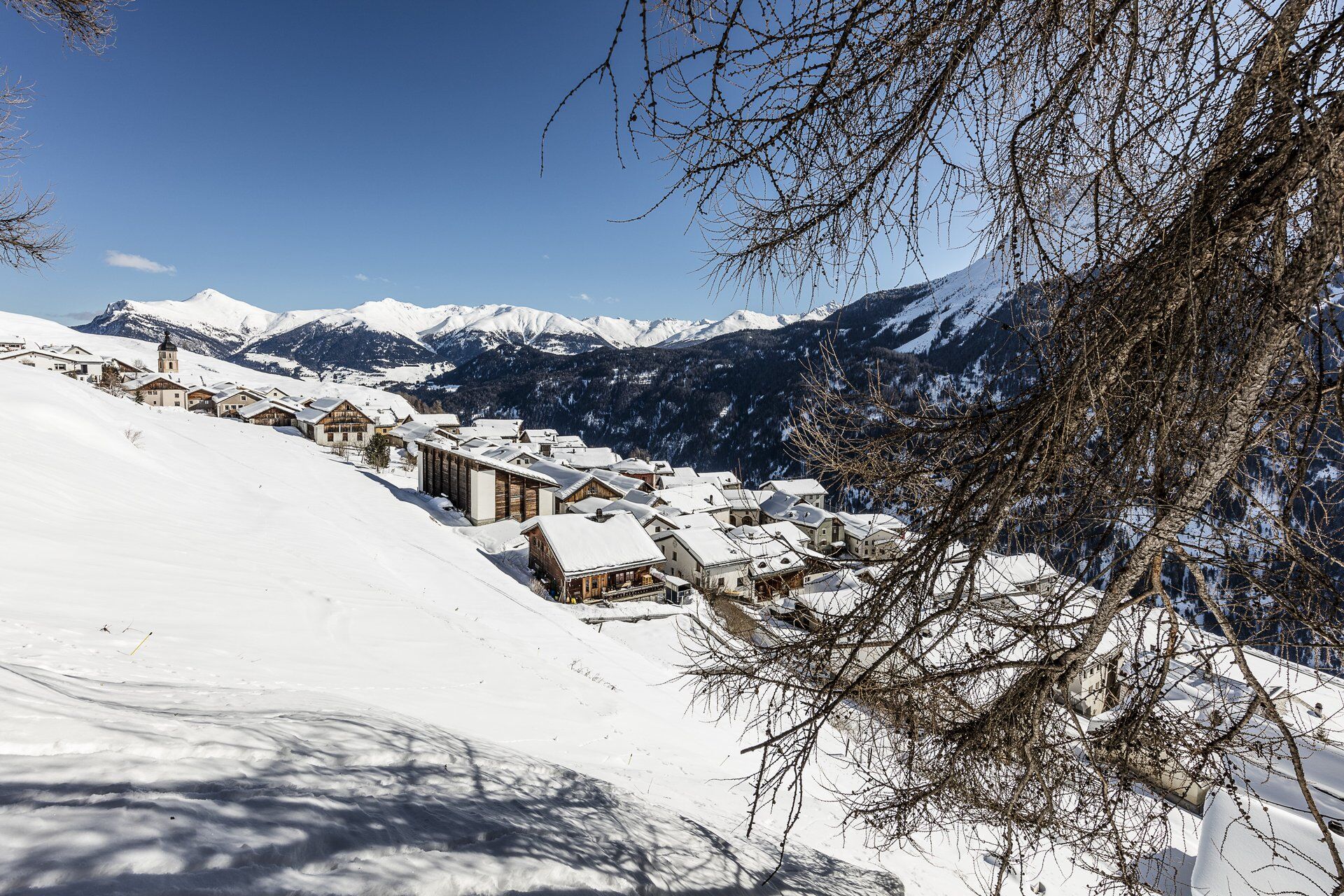

Start of the ski route: Tschlin
Summit of the ski route: Muttler
Descent of the ski route: Along the ascent route
End of the ski route: Tschlin
Caution: Demanding ski route that requires a lot of experience.
Ano
Ano
Ski touring equipment, safety equipment (AVALANCHE transceiver, probe, shovel), crampons and ice axe first aid kit, provisions
Routes in the winter mountains involve risks. Off secured slopes and trails, you are on your own responsibility. This requires solid training and appropriate equipment including avalanche emergency gear. Inform yourself about the weather and avalanche danger before each tour.
The tour was rated under favorable weather conditions; current weather conditions and forecasts must be strictly observed before starting the tour.
Emergency numbers:
144 emergency, first aid I 1414 mountain rescue REGA I 112 international emergency
Traveling routes in alpine terrain requires good fitness, serious preparation, and technical knowledge in mountaineering. Traveling the described routes is at your own risk. For safe mountaineering, training under expert guidance is recommended. All content is compiled with the utmost care. Tourism Engadin Samnaun Val Müstair AG (TESSVM) and the authors assume no liability for the currency, correctness, and completeness of the provided information. Claims of any kind against TESSVM and the authors are excluded. It is also recommended to check the daily avalanche bulletin: slf.ch
From the north: via Landquart – Klosters by car shuttle through the Vereina tunnel (Selfranga - Sagliains) or via the Flüela Pass to Lower Engadin on H27
From the east: via Landeck / Austria towards St. Moritz on H27
From the south: via Reschen Pass (Nauders-Martina) or Ofen Pass (Val Müstair-Zernez) on H27
Tschlin is about 17 km east of Scuol in the municipality of Valsot and can be reached by car in about 20 minutes.
By the Rhaetian Railway (from Chur, Prättigau or Upper Engadin) hourly to Scuol-Tarasp station.
Then by PostBus to the PostBus stop Tschlin, Cumün
Free parking at the village entrance of Tschlin.
AD+
Caution for cornices on the ridge

Oblíbené prohlídky v okolí
- 4.3
Panoramaweg Schöneben Haider Alm
světloTuristika 5.78 km - 4.3
Reschensee
světloTuristika 15.6 km - 3.6
Nauders - Bergkastel - Plamort - Reschen - Nauders
středníMountainbike 20.9 km - 4.7
Around Flimspitz from Alptrider Saddle
středníTuristika 8.57 km - 4.8
NAUDERS | Grenzüberquerung
světloTuristika 7.41 km - 4.8
Plamort
světloTuristika 8.25 km - 3.8
Bergstation Silvretta nach Patznauener Taja
světloTuristika 11.6 km - 5.0
3 Länder Tour Uinaschlucht MTB
heavyMountainbike 74.6 km - 4.5
Tarasp Fontana – Sparsels – Lai Nair (circular route)
světloTuristika 7.67 km - 4.7
Schwarzer See
světloTuristika 9.83 km
Pěší turistika a stopování


Nenechte si ujít nabídky a inspiraci pro vaši příští dovolenou
Vaše e-mailová adresa byl přidán do poštovního seznamu.





