






Girenspitz
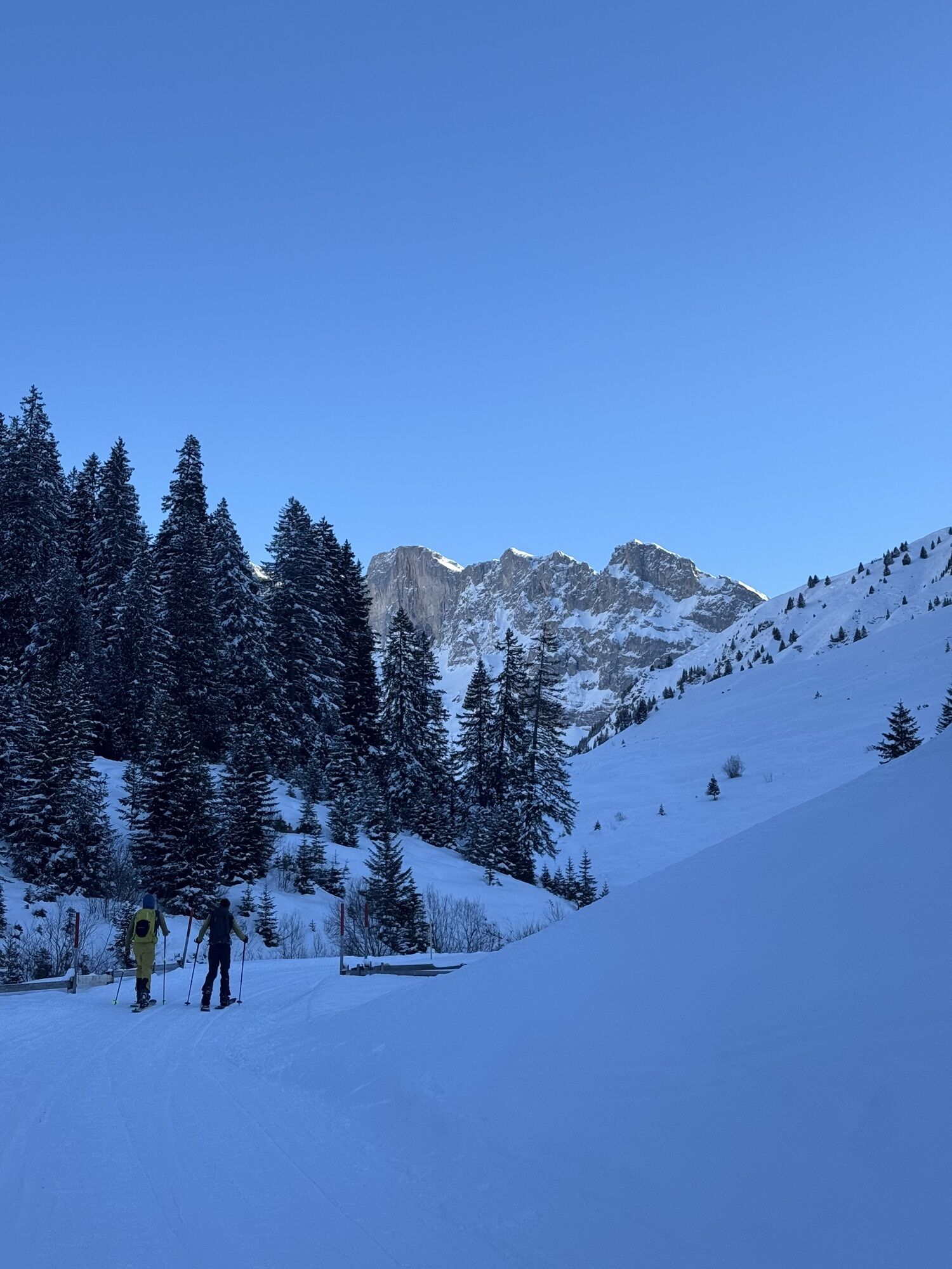
From Rüti, follow the groomed path towards Partnun. At Ronenegg, cross the Schanielabach on the wooden bridge and ascend to Untersäss. Following the summer path, you reach the old huts of Mittelsäss of...
From Rüti, follow the groomed path towards Partnun. At Ronenegg, cross the Schanielabach on the wooden bridge and ascend to Untersäss. Following the summer path, you reach the old huts of Mittelsäss of Alp Carschina. From here, the track leads westward over steep slopes to the broad Ostrücken of Girenspitz, which you follow to the summit. The limestone walls of Sulzfluh and Drusenfluh seem within reach.
If the sunny slopes are already crusty, good route choice still offers beautiful powder here. Those starting in Partnun ascend from the mountain farmhouses over the alpine pastures up to Obersäss. From there, continue westward towards the summit.
Attention! The descent is in the area of the ascent route. South of Girenspitz lies the Schlüecht wildlife protection area. Thank you for respecting nature!

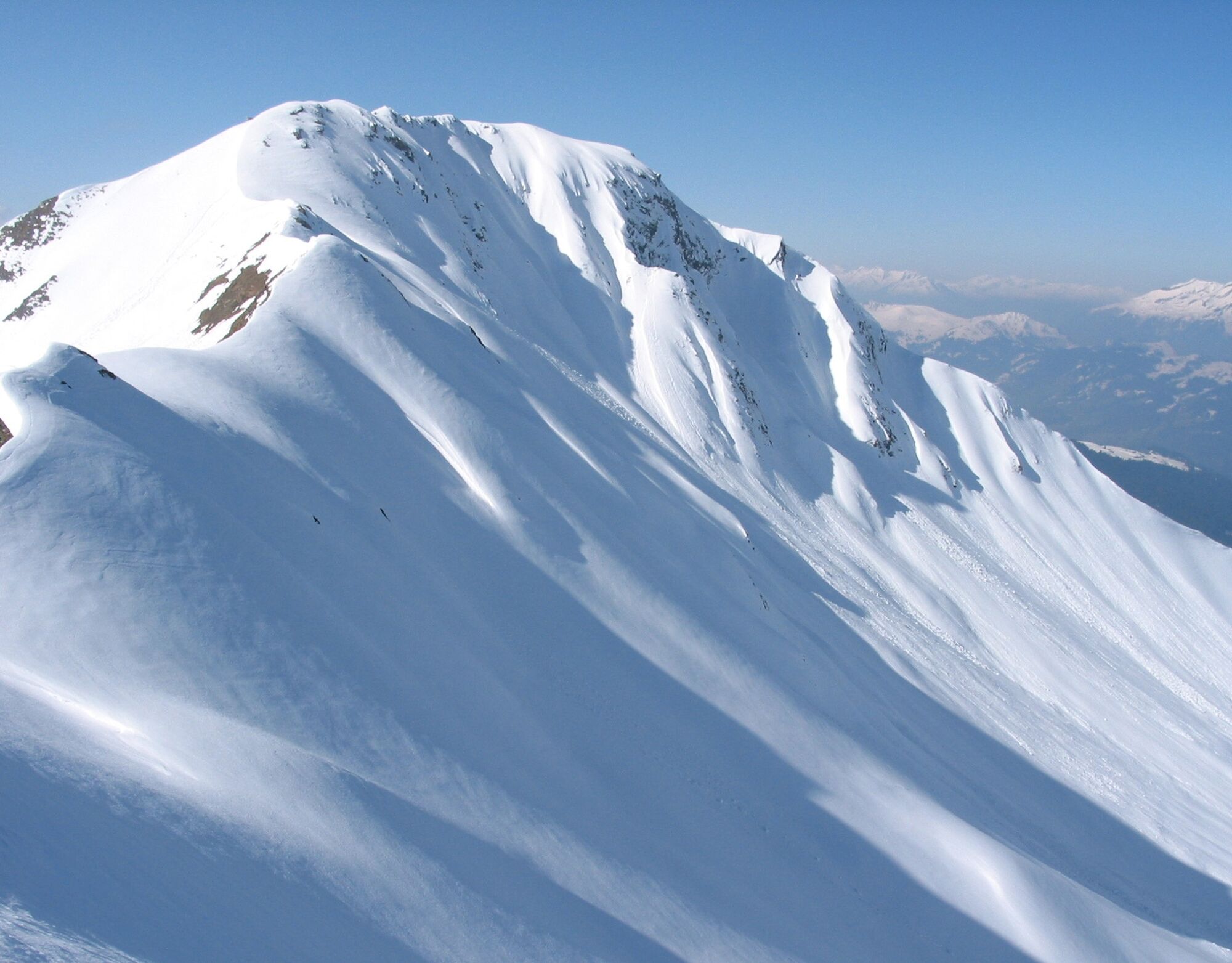
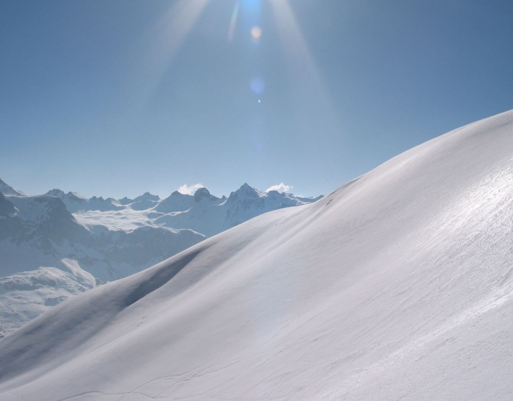
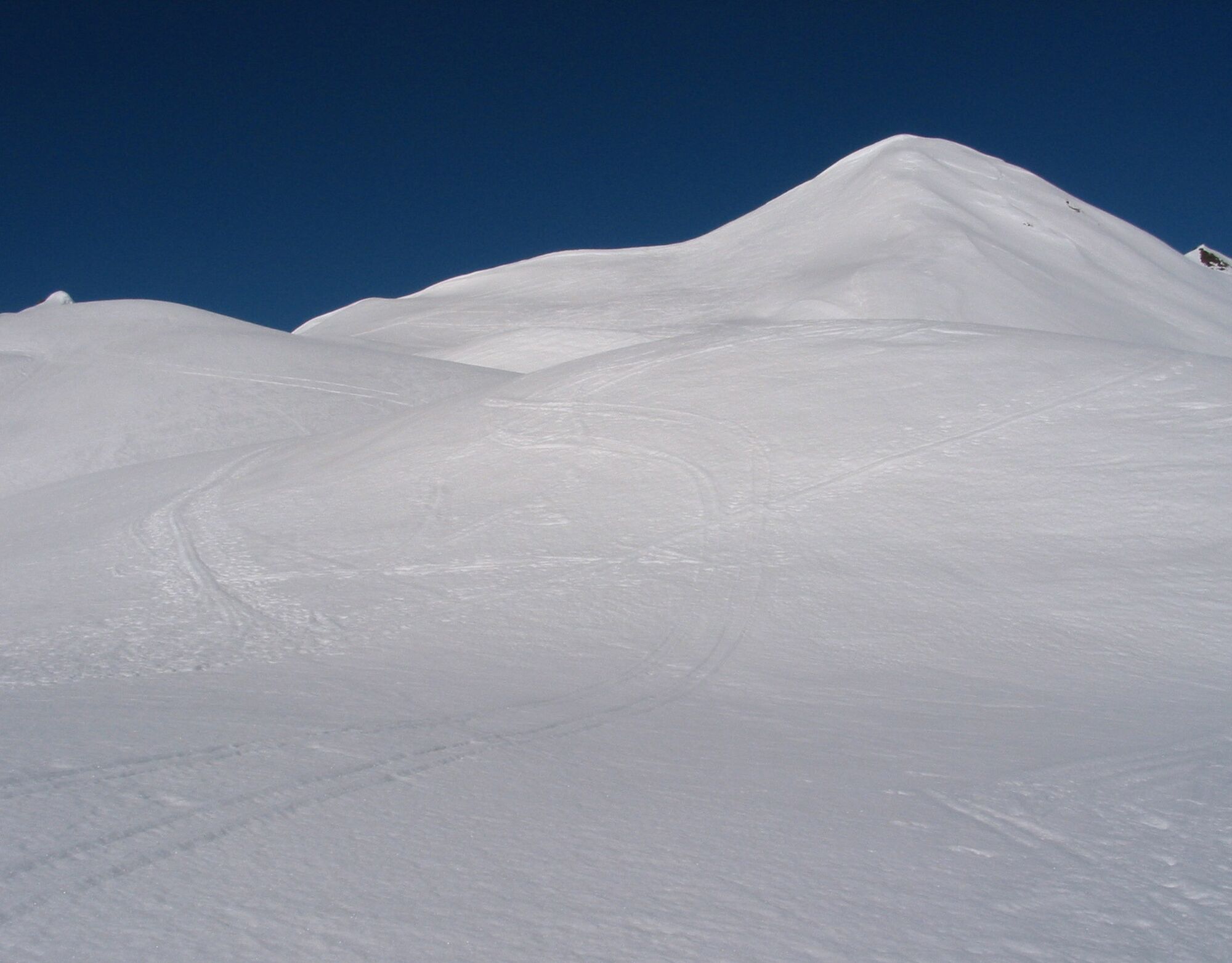
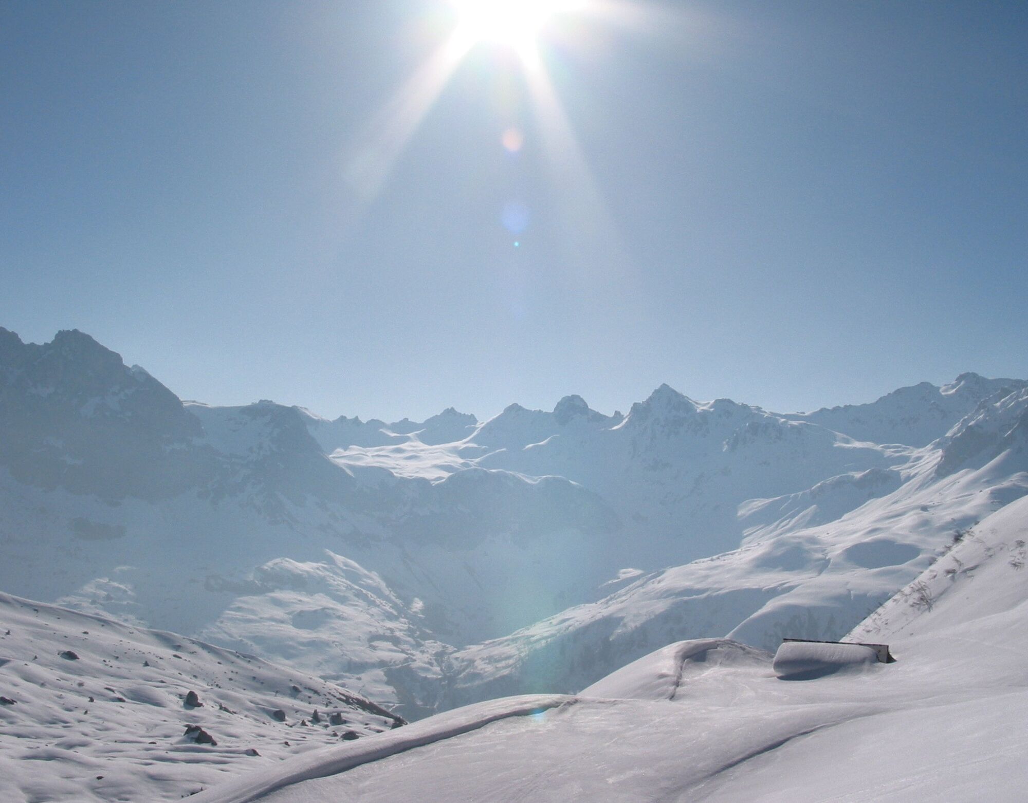

St. Antönien Rüti (1460 m a.s.l.) - Carschina Undersäss (1637 m a.s.l.) - Carschina Mittelsäss (1942 m a.s.l.) - Ostrücken - Girenspitz (2369 m a.s.l.).
Ano
Full alpine ski tour in unprotected terrain. Complete safety equipment (avalanche transceiver, avalanche shovel, avalanche probe, mobile phone) and knowledge of proper use are essential.
The ski and snowshoe routes are to be understood as general directional indications. Depending on conditions, ascent and descent routes may need to be adjusted. No guarantee can be given for the accuracy, completeness, and timeliness of the information.
Practicing ski touring in open terrain is at your own risk. Every tour participant is strongly advised to prepare thoroughly, plan the route, and obtain current information on snow and avalanche conditions. Avalanche report and snow info: www.slf.ch
Liability is excluded for accidents arising from the use of published information and route details.
In case of doubt, have experienced tour participants or a mountain guide accompany you: www.praettigau.info/bergfuehrer
Via the A13 and N28 to Küblis, then follow Luzeinerstrasse to Pany / St. Antönien. Continue through the village to the parking lot P5 in St. Antönien Rüti.
By Rhaetian Railway RhB to Küblis and by PostBus further to St. Antönien Rüti or St. Antönien Platz (walking time to Rüti about 20 minutes). (Timetable field 90.218 or 90.222)
All parking lots in St. Antönien are subject to charges. Payment at the parking lots can be made with cash, the Parkingpay app, Easy-Park, or Twint. The last parking lot (P5) is located at St. Antönien Rüti.
Prättigau Marketing
Feldweg 19
CH-7233 Jenaz
Tel. +41 (0)81 325 11 11
info@praettigau.info
www.praettigau.info
The Girenspitz can be combined well with the route to Schafberg: Two wonderful ski tour summits right next to each other!
 Získejte přehled Vždy živě na místě s více než 9 500 webkamerami. bergfex Jako uživatel Pro si nyní můžete zobrazit odpovídající webové kamery pro mnoho prohlídek v aplikaci prohlídky z. Můžete si tak přímo prohlédnout aktuální podmínky.
 Oblíbené prohlídky v okolí
- 5.0
Ski tour to the Lindauer Hut (1,744 m)
světloLyžařská trasa 14.0 km - 4.8
Smuggler’s path
středníTematická stezka 8.60 km - 4.6
Over the historic mine and Fritzensee to Rellseck
středníTuristika 7.25 km - 4.4
Golm-Rundwanderweg im Rätikon
středníTematická stezka 7.28 km - 4.9
Douglasshütte, Lünersee, Gafalljoch Brand bei Bludenz, Vorarlberg
světloTuristika 9.16 km - 4.9
Douglashütte - Schesaplana
středníTuristika 7.31 km - 4.5
Madrisella summit path
středníTematická stezka 10.8 km - 4.3
Golmerbahn Bergstaion Grüneck - Golmer Höhenweg - Geißspitze - Lindauer Hütte - Latschau
středníTuristika 11.5 km - 4.8
Madrisella via ferrata
heavyVia ferrata 8.52 km - 3.0
Bergstation Grüneck Golmerbahn - Alpe Latschätz - Lindauer Hütte - Latschau
světloTuristika 11.1 km
Pěší turistika a stopování


Nenechte si ujít nabídky a inspiraci pro vaši příští dovolenou
Vaše e-mailová adresa byl přidán do poštovního seznamu.





