





Riedchopf

The path leads from Rüti to the Dörfji. Shortly before, you leave the route that goes valley inward and track in an easterly direction over Alpelti to Alpeltitälli, between Gämpiflue to the south and Schollberg...
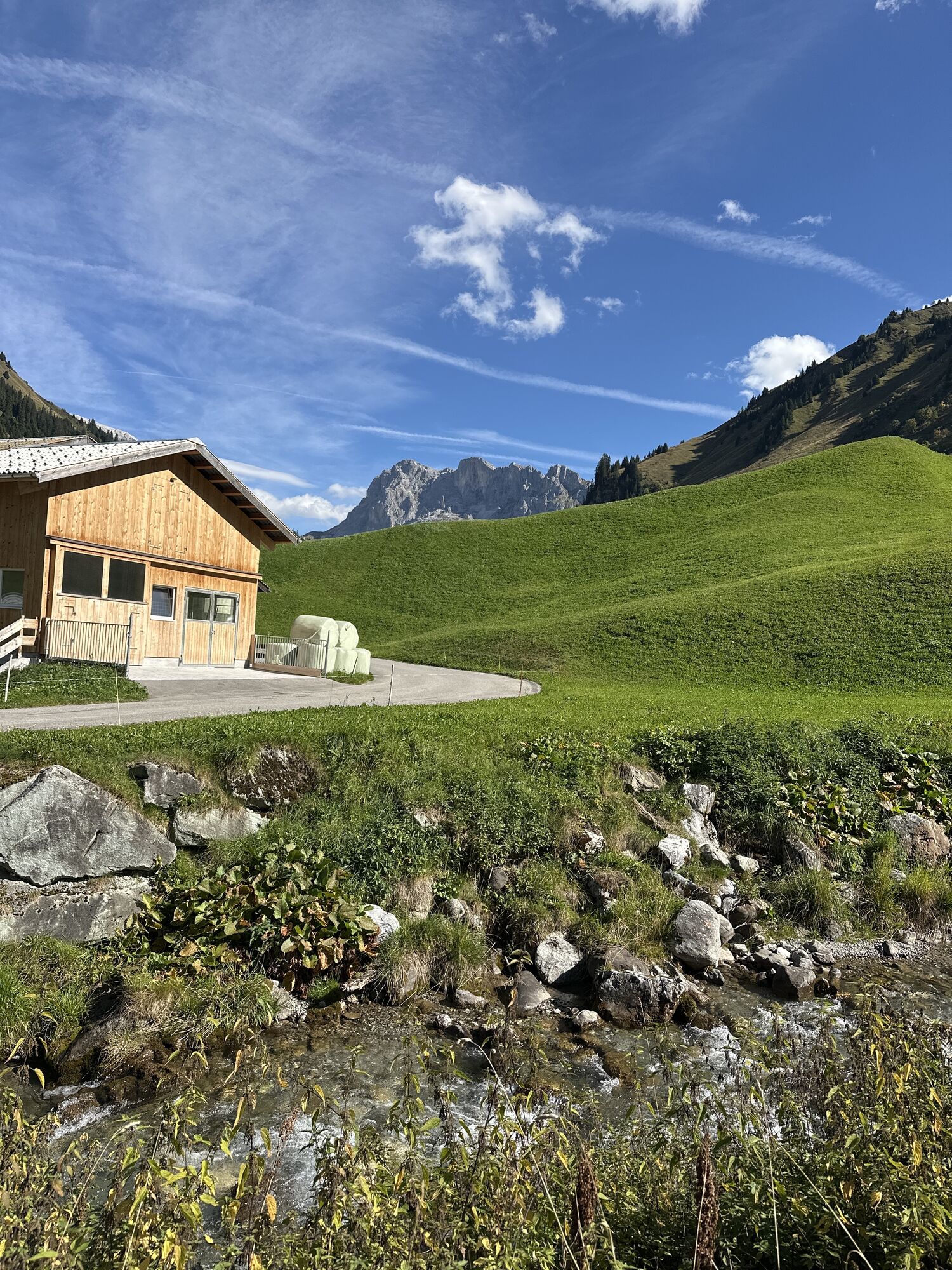
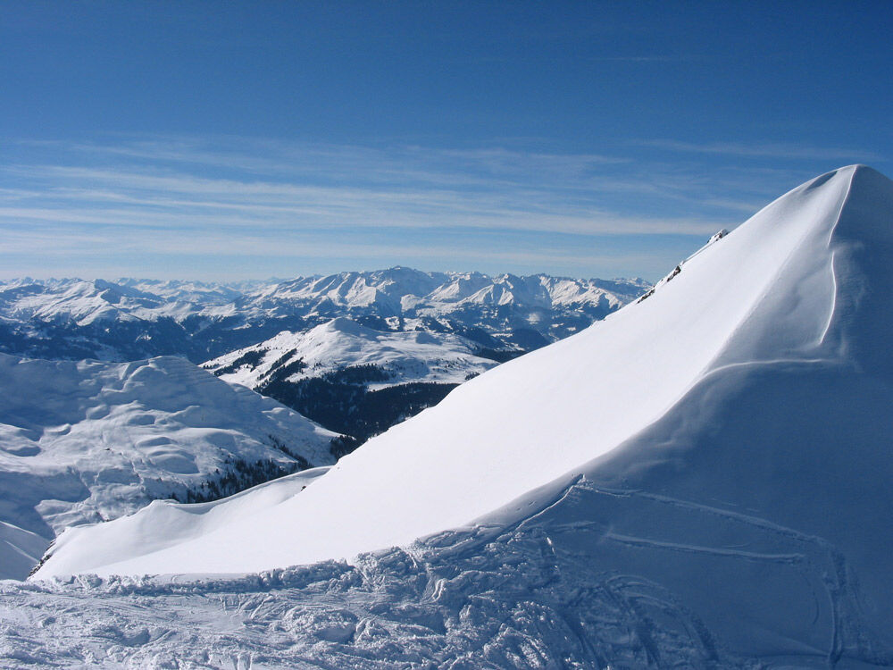
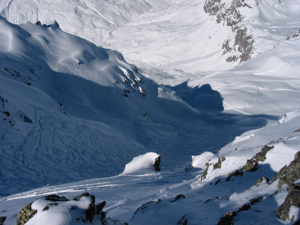
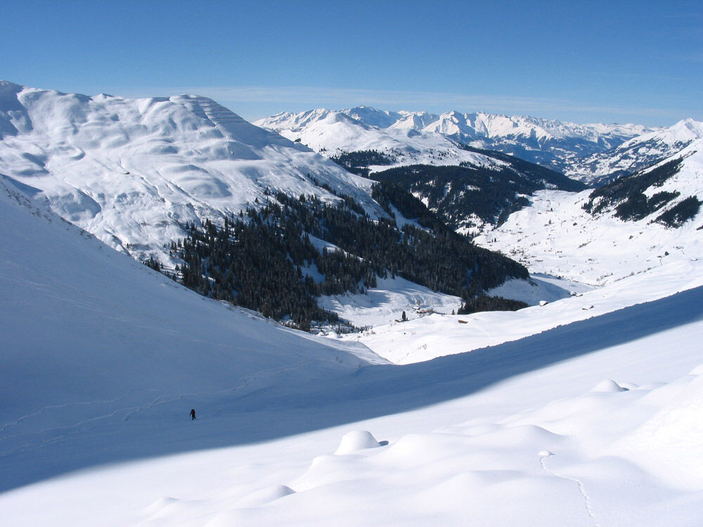
The path leads from Rüti to the Dörfji. Shortly before, you leave the route that goes valley inward and track in an easterly direction over Alpelti to Alpeltitälli, between Gämpiflue to the south and Schollberg to the north. Just before the St. Antönierjoch, turn left and ascend straight northwards to the Riedchopf-Furgga (2540 m above sea level). From this pass towards Partnun, the summit of Riedchopf is reached in a northeast direction via the ridge. From Riedchopf, also called Ronggspitz, you can also start wonderful descents down to Gargellen. From the Riedchopf-Furgga you descend northwards through a narrow gully* down to Partnun. This thrilling descent is only recommended under safe conditions, otherwise descend along the ascent route.
*This couloir is mistakenly called Silbertäli. However, it is the Riedchopftäli. The real Silbertäli leads from the apex of the two valleys westwards to Schollberg.

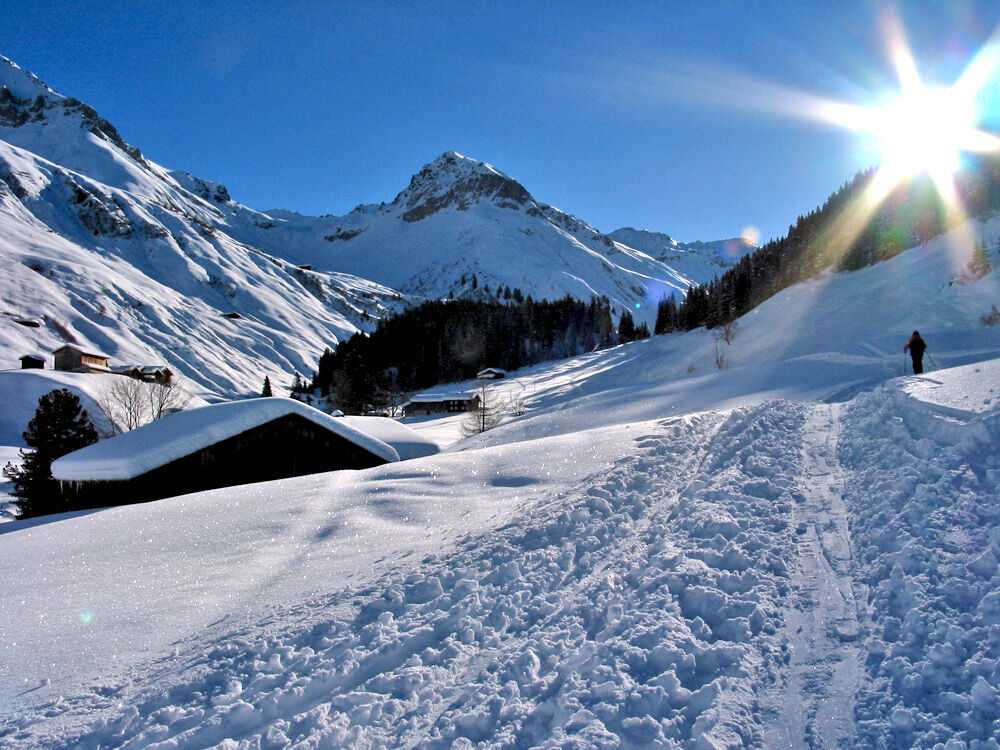

St. Antönien Dorf - Rüti - Engi - Alpeti - Alpetitälli - Riedchopf - Engi - Partnunstafel - St. Antönien Dorf
Ano
Ski tours require good preparation (training / equipment etc.) and should only be undertaken in favorable weather and avalanche conditions.
The ski and snowshoe routes are to be understood as general directional indications. No guarantee is given for the accuracy, completeness and up-to-dateness of the route information. Any liability for accidents resulting from the use of the information from the route data is excluded. The route must always be studied in the relevant literature before each tour. A detailed tour planning is strongly recommended. Practicing ski touring in alpine terrain is at your own risk.
Current information on the avalanche situation: www.slf.ch
Follow the A13 and the B28 to Küblis, then follow Luzeinerstrasse to Pany / St. Antönien.
By the Rhaetian Railway RhB to Schiers or Küblis and by postbus to St. Antönien. (timetable field 90.218 or 90.222)
All parking spaces in St. Antönien are paid. At the parking lots, payment can be made with cash, Parkingpay app, Easy-Park or Twint.
Prättigau Marketing
Feldweg 19
CH-7233 Jenaz
Tel. +41 (0)81 325 11 11
info@praettigau.info
www.praettigau.info
During the descent at the mountain huts in Partnun, take a break and enjoy the winter sun as well as regional specialties.
Získejte přehled
Vždy živě na místě s více než 9 500 webkamerami. bergfex Jako uživatel Pro si nyní můžete zobrazit odpovídající webové kamery pro mnoho prohlídek v aplikaci prohlídky z. Můžete si tak přímo prohlédnout aktuální podmínky.
Oblíbené prohlídky v okolí
-
5.0
Ski tour to the Lindauer Hut (1,744 m)
světloLyžařská trasa 14.0 km -
4.7
Smuggler’s path
středníTematická stezka 8.60 km -
4.4
Golm-Rundwanderweg im Rätikon
středníTematická stezka 7.28 km -
4.9
Douglasshütte, Lünersee, Gafalljoch Brand bei Bludenz, Vorarlberg
světloTuristika 9.16 km -
4.7
Over the historic mine and Fritzensee to Rellseck
středníTuristika 7.25 km -
4.3
Golmerbahn Bergstaion Grüneck - Golmer Höhenweg - Geißspitze - Lindauer Hütte - Latschau
středníTuristika 11.5 km -
4.5
Madrisella summit path
středníTematická stezka 10.8 km -
4.9
Alpgues Runde
středníTuristika 9.21 km -
4.8
Douglashütte - Schesaplana
středníTuristika 7.31 km -
3.0
Bergstation Grüneck Golmerbahn - Alpe Latschätz - Lindauer Hütte - Latschau
světloTuristika 11.1 km
Pěší turistika a stopování


Nenechte si ujít nabídky a inspiraci pro vaši příští dovolenou
Vaše e-mailová adresa byl přidán do poštovního seznamu.





