






Scuol – Champatsch mountain station – Piz Tasna

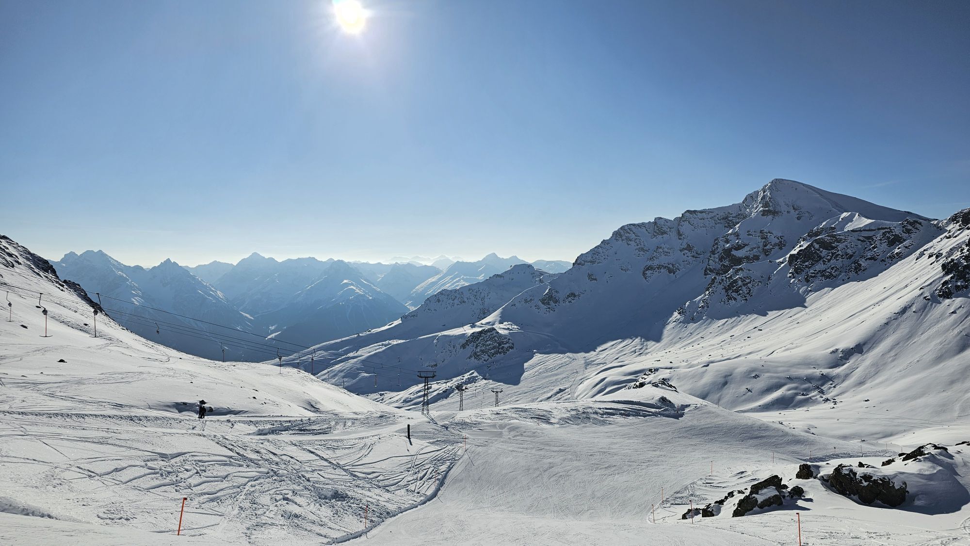
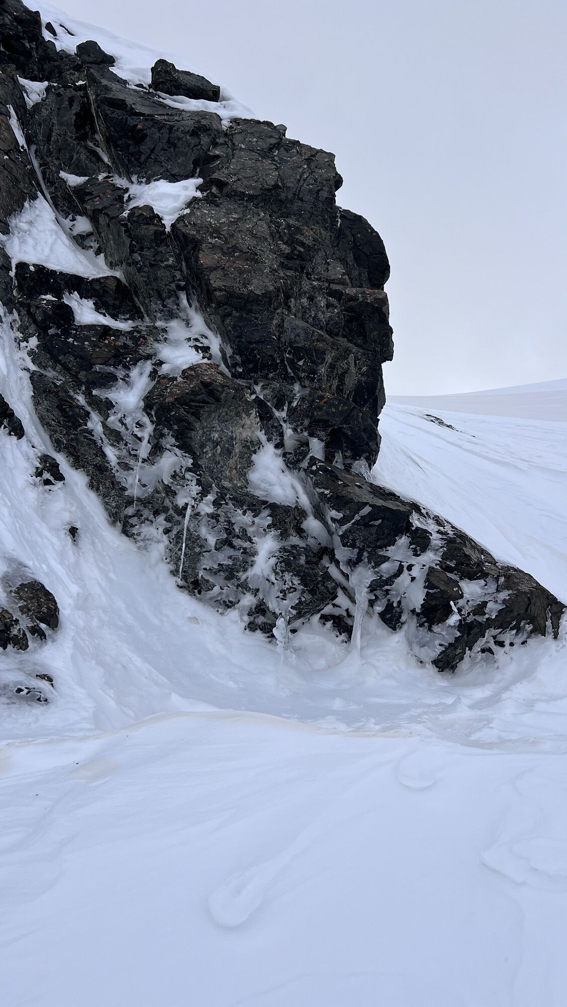
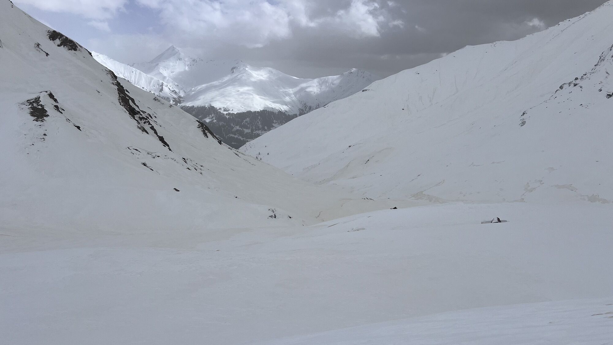
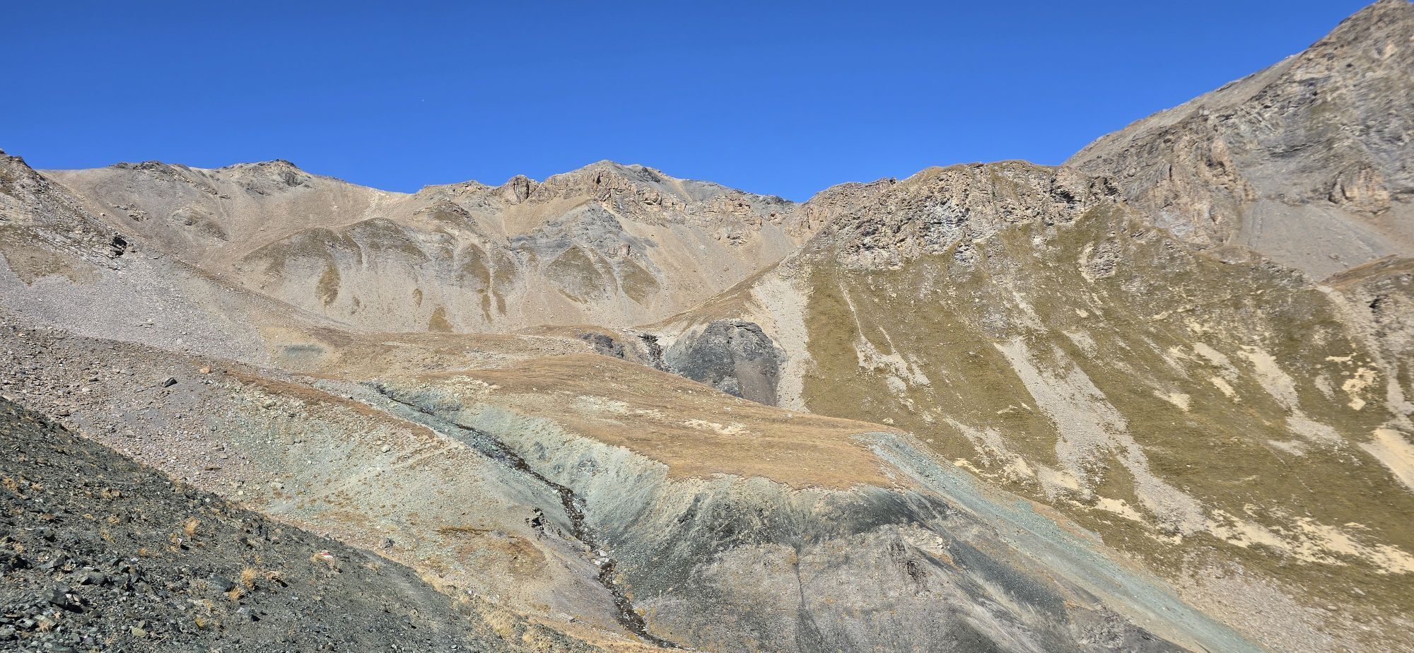
From Scuol, take the mountain railways to the Motta Naluns ski area and onwards to the Champatsch mountain station (2790 m above sea level). Then the route starts with a short descent on a north slope...
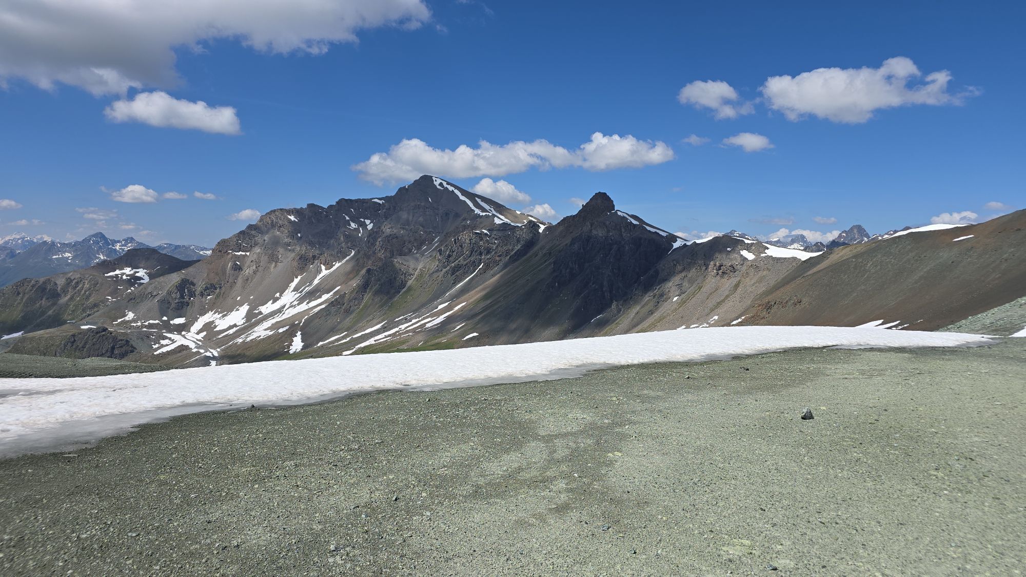
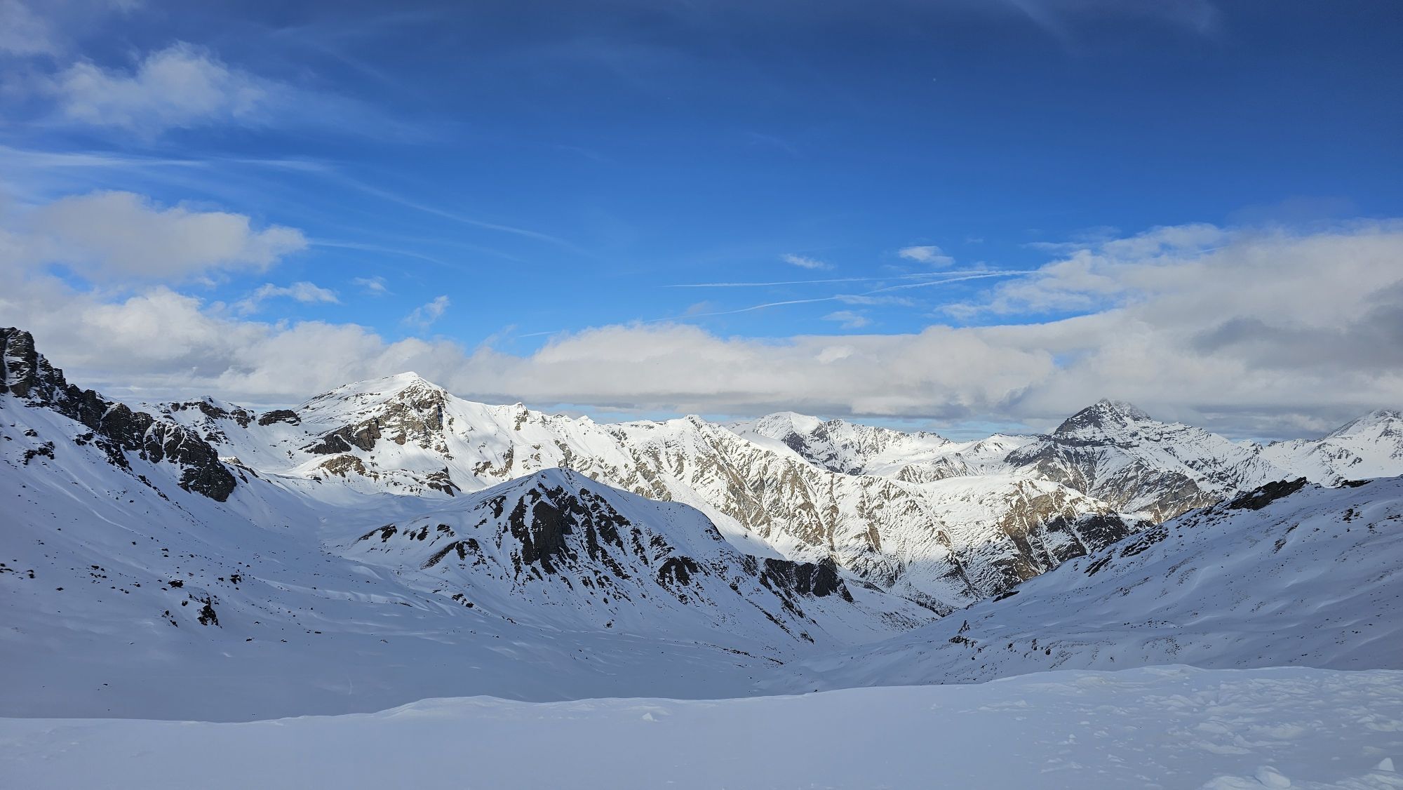
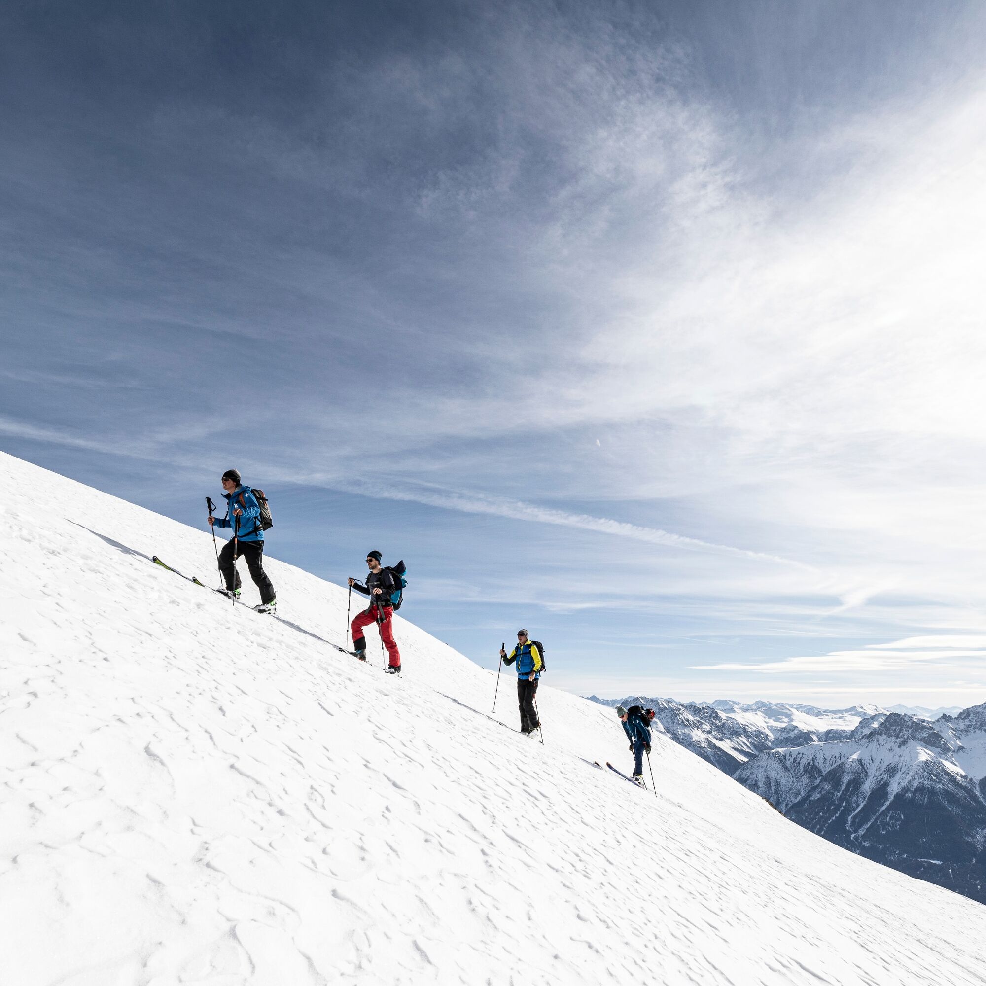
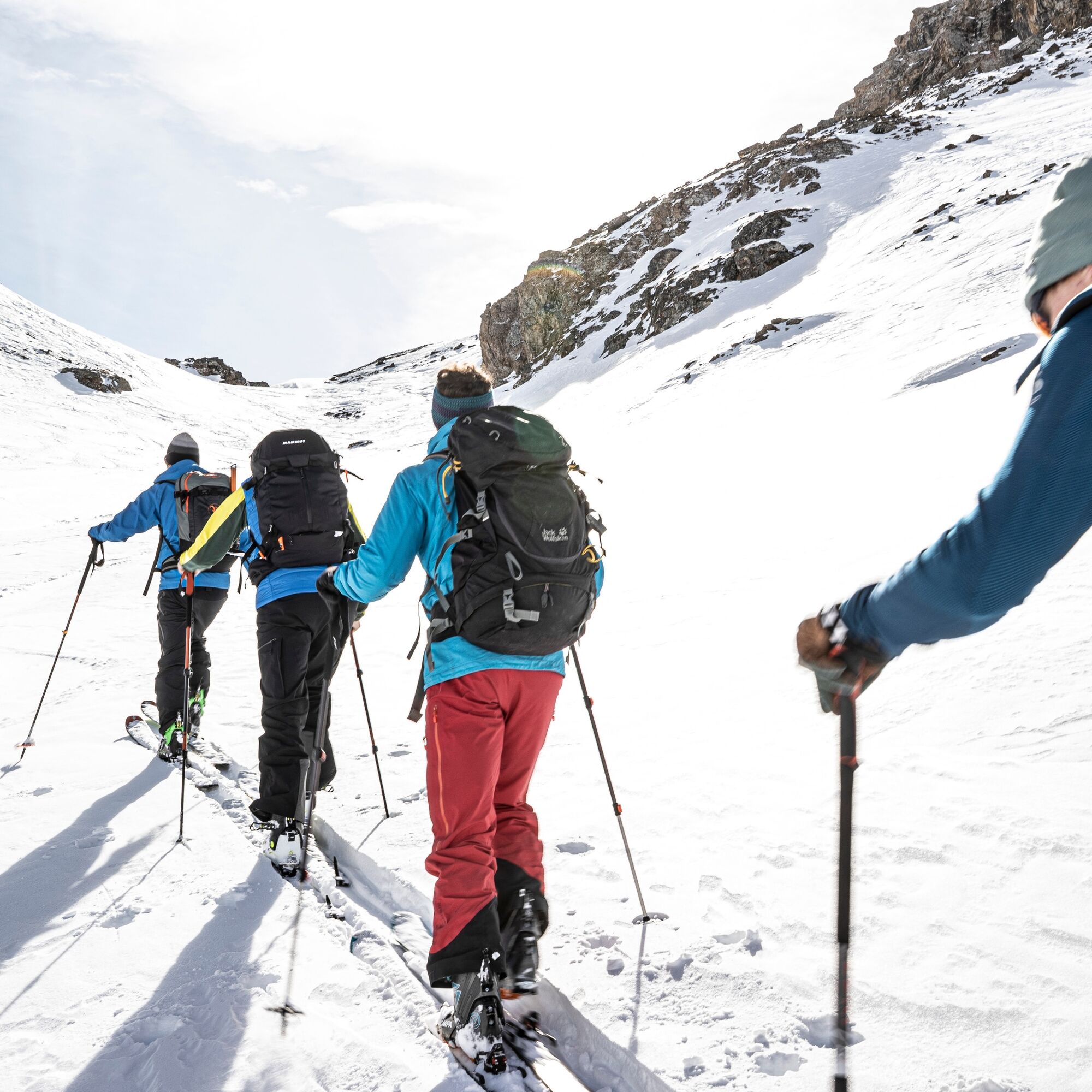
From Scuol, take the mountain railways to the Motta Naluns ski area and onwards to the Champatsch mountain station (2790 m above sea level). Then the route starts with a short descent on a north slope into the Tiral plain. Subsequently follows a gentle ascent to the hollow between Piz Tasna and the striking summit Mot (2705 m above sea level). Then the route leads westward along the Vadret da Tasna before the steep final slope to the east shoulder is tackled. A ski depot must be set up for the summit ascent. The ascent leads on the south side on the steep summit slope to Piz Tasna. Several descent options along the ascent route to Sent, Hof Zuort, Vna, through the Val Tasna to Ardez, or back to the Motta Naluns ski area.

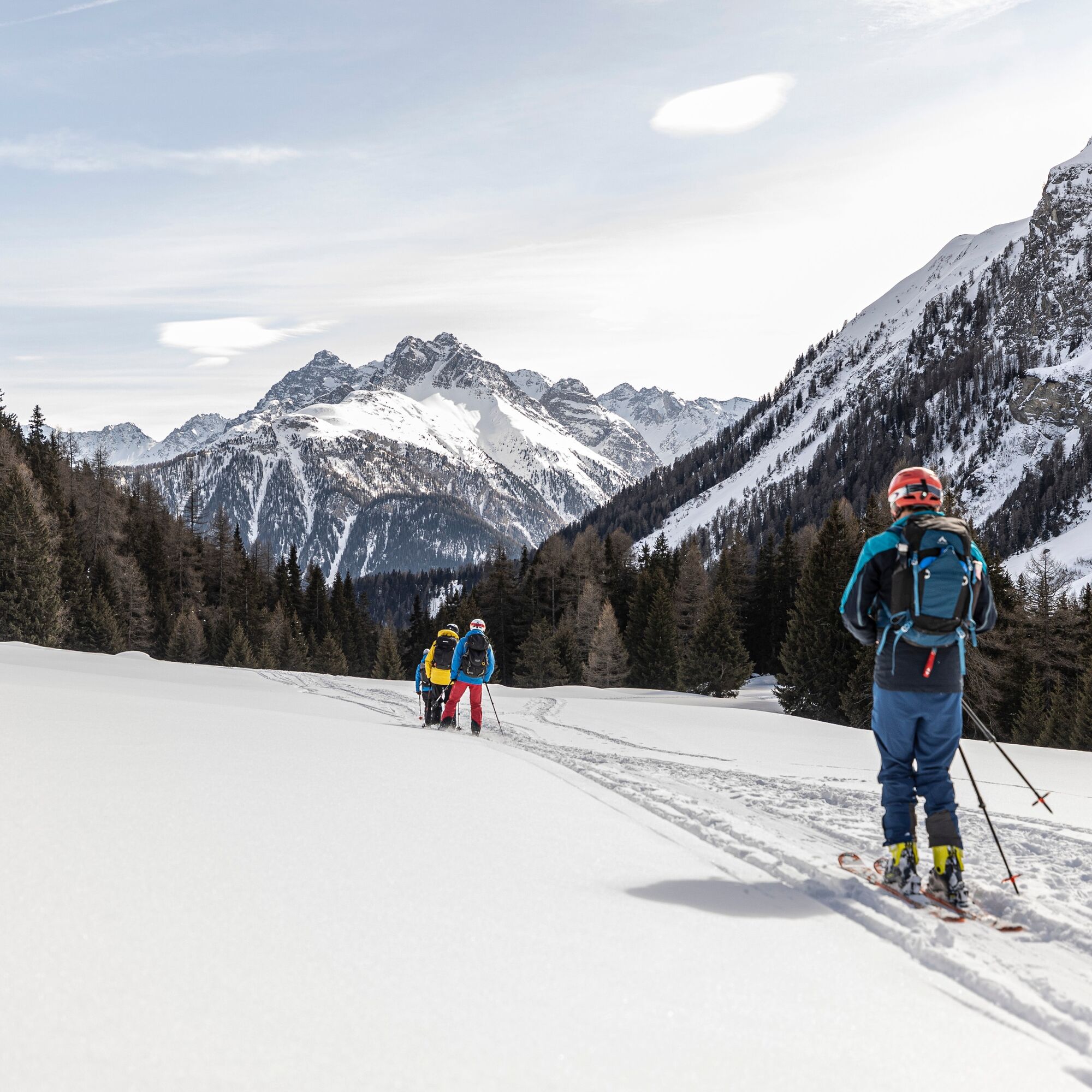

The starting point is at Scuol station with parking options.
Ano
Ano
Ano
Ski touring equipment, safety equipment (avalanche transceiver, probe, shovel), first aid kit, provisions
The route was evaluated under favorable weather conditions, the current weather conditions and forecasts must be strictly observed before starting the route.
Emergency numbers:
144 emergency, first aid I 1414 mountain rescue REGA I 112 international emergency
Winter mountain tours involve risks. Away from secured pistes and paths, tour participants are responsible for themselves.
Traversing routes in alpine terrain requires good fitness, serious preparation, and technical knowledge in mountaineering. Following the described routes is at your own risk. For safe mountaineering, training under expert guidance is recommended. All content is compiled with the greatest care. Tourism Engadin Samnaun Val Müstair AG (TESSVM) and the authors assume no liability for the currency, correctness, and completeness of the provided information. Liability claims of any kind against TESSVM and the authors are excluded. It is also recommended to check the daily avalanche bulletin: slf.ch
From the north: via Landquart – Klosters by car shuttle through the Vereina tunnel (Selfranga - Sagliains) or via the Flüela pass into the Lower Engadin on H27
From the east: via Landeck / Austria towards St. Moritz on H27
From the south: via Reschen Pass (Nauders-Martina) or Ofen Pass (Val Müstair-Zernez) on H27
Scuol lies directly on the Engadin road H27 (20 minutes driving time from Vereina south portal)
With the Rhaetian Railway (from Chur, Landquart/Prättigau, or from the Upper Engadin) hourly to Scuol-Tarasp
With the PostBus (from Martina, Sent, Ftan, or Tarasp) hourly to Scuol-Tarasp station
Paid parking spaces at the station and near the mountain railways in Scuol
Free parking spaces in Porta and Punt (Scuol Sot)
A stop at the Hof Zuort, which scores with local cuisine.

Oblíbené prohlídky v okolí
-
4.8
Hiking trail Piz Buin - view
středníTuristika 14.4 km -
5.0
Menta Alm - Scheibenalm
světloTuristika 11.4 km -
5.0
Rundwanderung Berglisee, Mathon
heavyTuristika 11.1 km -
3.2
Bielerhöhe and circular hike around the Silvretta reservoir
středníTuristika 13.1 km -
4.7
Jamtal lodge
středníTuristika 19.6 km -
5.0
Großer Piz Buin (3.312m), Normalweg 2019 über Ochsentaler Gletscher
heavyVysokohorská turistika 24.1 km -
4.8
Silvretta Stausee
světloTuristika 6.22 km -
3.7
Bielerhöhe - Vermuntkopf - Bielerhöhe
středníTuristika 17 km -
5.0
Ascent of Hohes Rad and stop at the Wiesbadener Hut
heavyTuristika 15.8 km -
4.7
Hennekopf von der Bielerhöhe (Gemeinde Galtür, Tirol/Österreich)
středníHorská turistika 9.43 km
Pěší turistika a stopování


Nenechte si ujít nabídky a inspiraci pro vaši příští dovolenou
Vaše e-mailová adresa byl přidán do poštovního seznamu.





